Death Valley National Park Map & Hiking Planning Guide
A Death Valley National Park map is the first thing you should trust and the last thing you can afford…
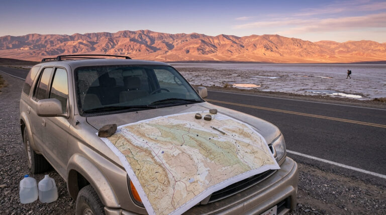
A Death Valley National Park map is the first thing you should trust and the last thing you can afford…
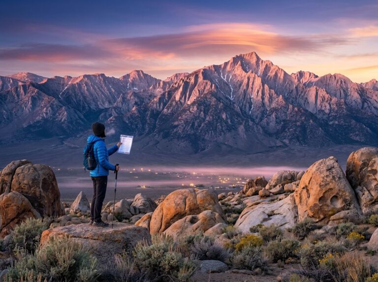
A Mount Whitney permit is the one document standing between you and the highest summit in the lower 48, and…
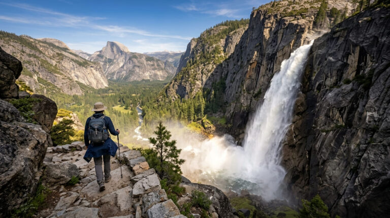
The Upper Yosemite Falls hike announces itself before you reach the trailhead. Look up from the floor of Yosemite Valley,…
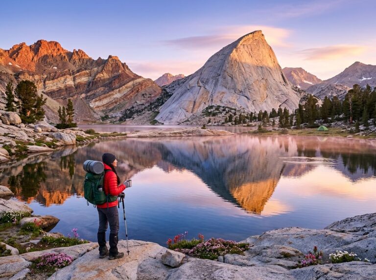
The Rae Lakes Loop is a 41.4-mile circuit through Kings Canyon National Park that climbs from a granite-walled valley floor…
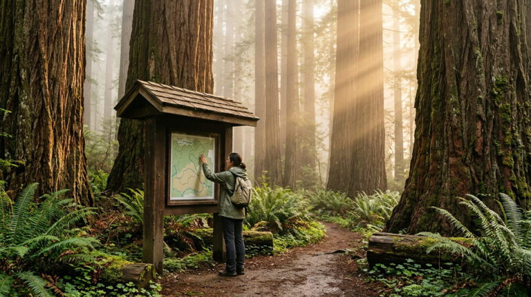
Look at a Redwood National Park California map for the first time, and it will not look like a park….
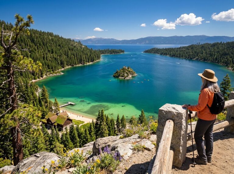
Tahoe Emerald Bay State Park starts at a railing beside Highway 89. You pull into a small lot 12 miles…
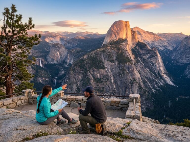
A Half Dome hike permit stands between you and the last 400 feet of the most famous climb in Yosemite…
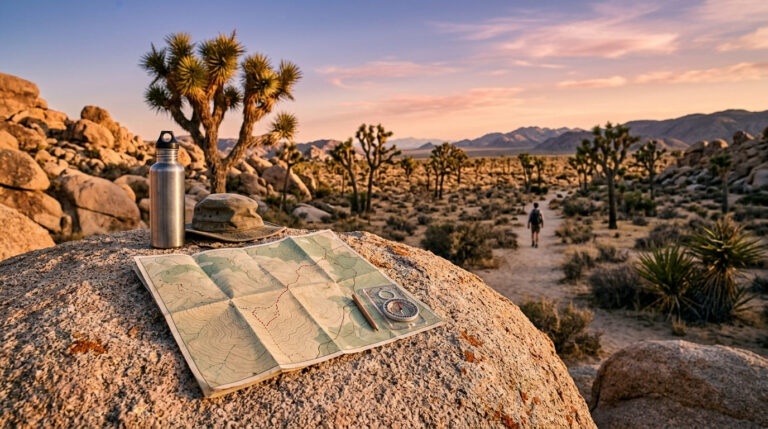
Sooner or later in Joshua Tree, the bars on your phone disappear. The blue dot freezes, the road ahead forks,…
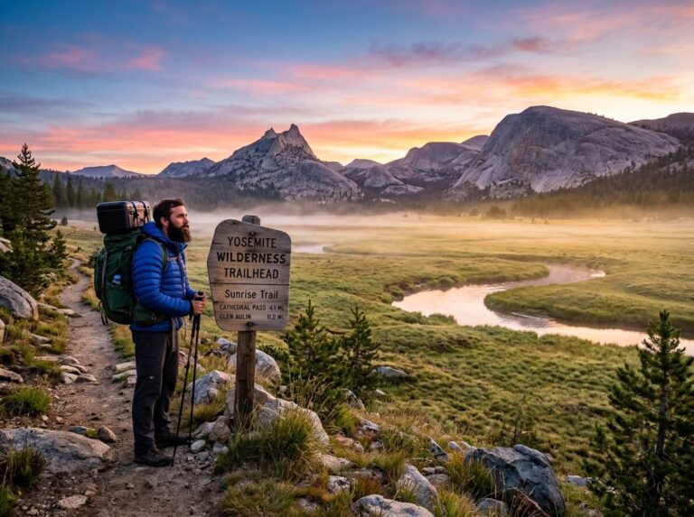
Yosemite National Park permits sort into two camps. Day hikes need none, with one famous exception: the cables on Half…
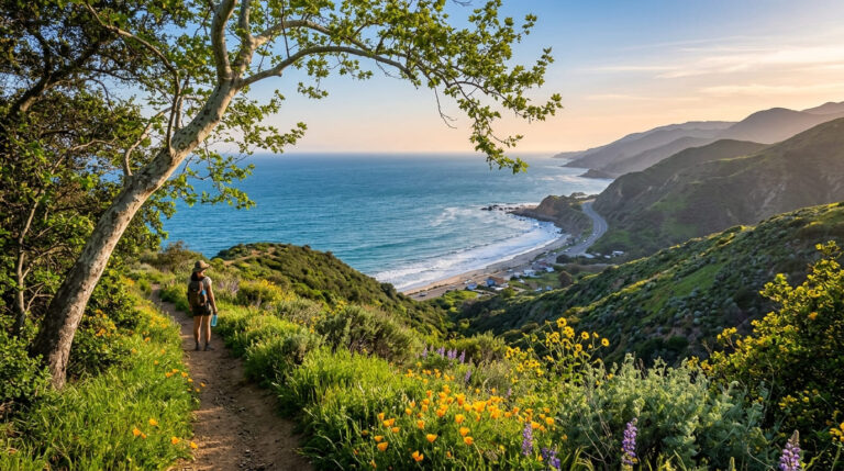
Pacific Coast Highway runs along Malibu like a ribbon laid between mansions and surf, and almost everyone who drives it…
