Best Hiking Trails Near Lake Tahoe, California
Lake Tahoe’s hiking reputation rests almost entirely on the west shore’s greatest hits: Emerald Bay, Eagle Falls, and the Rubicon Trail. But the area actually offers more than 300 miles of hiking trails near Lake Tahoe across two states and dramatically different terrain, depending on which shore you start from. Most first-time visitors never get past the same three trailheads, which is exactly why those are the most crowded spots in the basin.
Disclosure: Please note that some of the links below are affiliate links and at no additional cost to you, I may earn a commission. Know that I only recommend hiking gear I personally stand behind; when you use my affiliate links, it helps me run this blog and keep all of this content free of charge for readers (like you).
Here’s how to actually pick a trail here, what’s changed about permits and parking this year, and which side of the lake fits your trip. Learn more about California’s wider public parks network in our state parks hiking guide and our national parks hiking guide.
Key takeaways:
- Lake Tahoe holds more than 300 miles of trail across California and Nevada, with the north and south shores offering genuinely different hiking character.
- The lake itself is the second-deepest in the U.S., at roughly 1,645 ft, with about 72 miles of shoreline.
- North Shore hiking is more alpine and less crowded; South Shore hiking is more accessible with more services and the iconic Emerald Bay corridor.
- There’s no Vikingsholm parking lottery; it’s paid, first-come, first-served parking that fills by 9 a.m. in summer. A new Emerald Bay Shuttle (Memorial Day–Labor Day) is a genuinely useful 2026 alternative.
- Desolation Wilderness day hikes need a free, self-issued permit at the trailhead; no reservation required. Only overnight trips require a paid Recreation.gov reservation with a summer quota.
- The Tahoe Rim Trail circles the entire basin for 165 miles, but most visitors only need one of its many manageable day-hike sections.
Why Lake Tahoe is one of California’s best hiking destinations
Lake Tahoe combines alpine scenery, genuinely clear water, and enough trail variety that a week here barely scratches the surface. Its 72 miles of shoreline and roughly 1,645-ft depth (second only to Crater Lake in the U.S.) sit at the center of everything hikers come here for, though that same cold, deep water deserves real respect if your hike includes a swim.
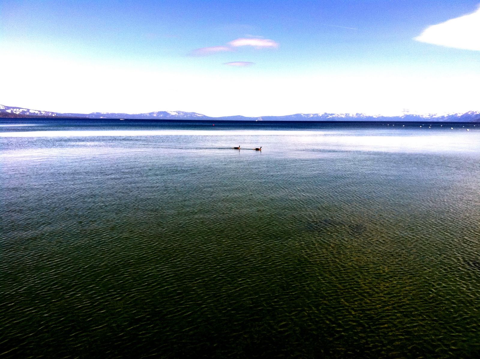
Peak hiking season runs roughly July through October, once the higher-elevation snow has cleared and before the first real winter storms return.
North Lake Tahoe vs. South Lake Tahoe: which side has better hiking?
North Shore hiking, from Crystal Bay to Tahoe City, leans more alpine and rugged, with access to Tahoe National Forest and the southern edge of Desolation Wilderness, and noticeably fewer crowds than the south; you can often find solitude on a trail here that would be packed on an equivalent South Shore route. South Shore hiking is more accessible, with more services nearby and direct access to the Emerald Bay corridor and Eldorado National Forest; this is where most of the lake’s most-searched trails actually live.
Neither side is objectively “better”; South Shore wins on iconic scenery and convenience, North Shore wins on solitude, and a lot of experienced Tahoe hikers deliberately alternate between the two depending on how crowded a given weekend is shaping up to be.
Best easy hiking trails around Lake Tahoe
Vikingsholm Trail at Emerald Bay: Lake Tahoe’s most beautiful easy hike
A 1-mile trail (2 miles round trip) dropping 500 ft to Vikingsholm Castle, a 38-room Scandinavian-style mansion built in 1929, widely considered one of the best lake views in the state. There’s no lottery; parking is paid and first-come, first-served ($10 for the day or $3 per hour), and it fills by 9 a.m. in peak season, sometimes forcing the lot to close and the gate entirely until space opens up.
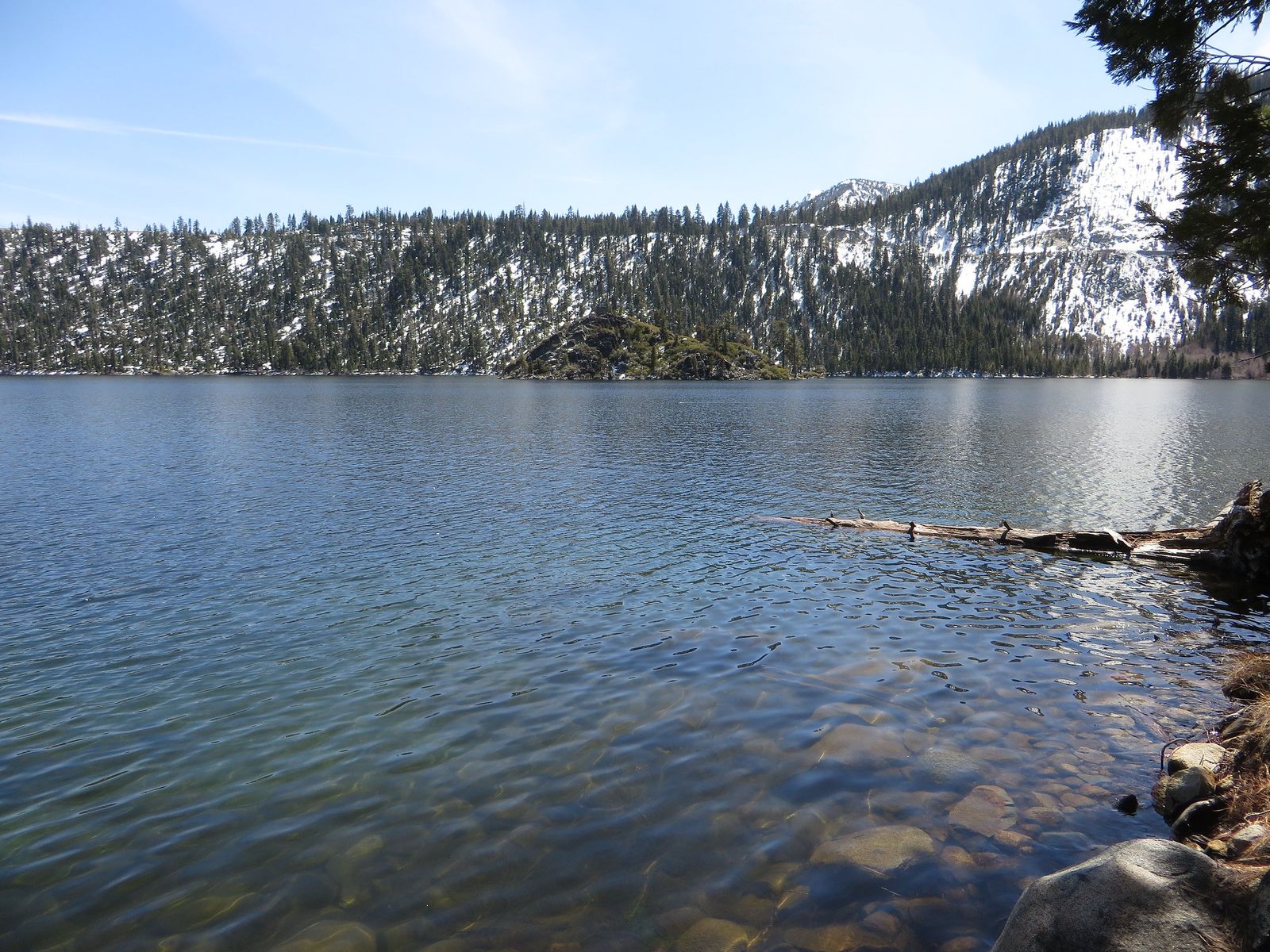
New for 2026, the Emerald Bay Shuttle runs Memorial Day through Labor Day as a real alternative to the parking crunch, with round-trip fares around $10 for adults. The trail down is easy; budget real time and water for the steep climb back up.
Emerald Bay hiking trails: California’s most photographed lake view
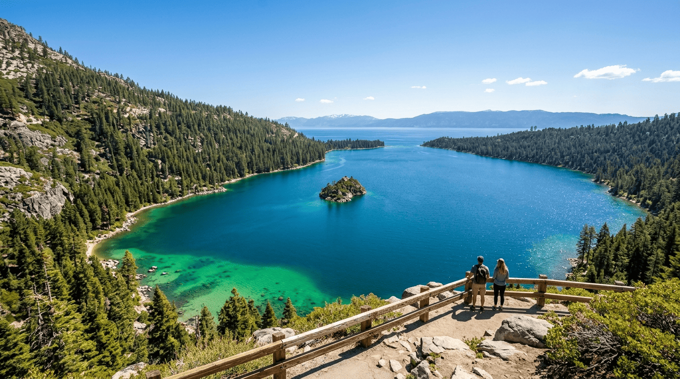
The trail network within Emerald Bay State Park’s trailhead zone connects the Rubicon Trail, Vikingsholm, and Eagle Falls in one general zone, making it possible to combine several short hikes from a single parking effort if you time it right and start early. This single area accounts for a huge share of all Lake Tahoe hiking searches, and it earns that attention because few places in the entire Sierra Nevada pack this much scenery into such a compact, easily reached stretch of trail.
Eagle Falls Trail: Lake Tahoe’s best short waterfall hike
As outlined in our specific Eagle Falls trail guide, expect a 0.8-mile round trip to the falls themselves, or 1.5 miles round trip with about 400 ft of gain if you continue to Eagle Lake. The trailhead sits at the Eagle Falls Picnic Area near Emerald Bay and gets genuinely crowded by mid-morning in summer. Arrive before 8 a.m. if you want the trail to yourself, since this is consistently one of the most-searched, most-photographed short hikes anywhere around the lake.
Best moderate hiking trails around Lake Tahoe
Rubicon Trail: Lake Tahoe’s most scenic lakeside moderate hike
The full Rubicon Trail runs 7.4 miles from Calawee Cove at D.L. Bliss State Park to Eagle Point at Emerald Bay, tracing the shoreline with consistently excellent lake views and granite formations along the way, plus a historic lighthouse near the D.L. Bliss end. Shorter segments exist too; the stretch from D.L. Bliss to the Vikingsholm access point is a popular way to get a taste of the trail without the full distance, and several access points along the route let you build a custom-length hike.
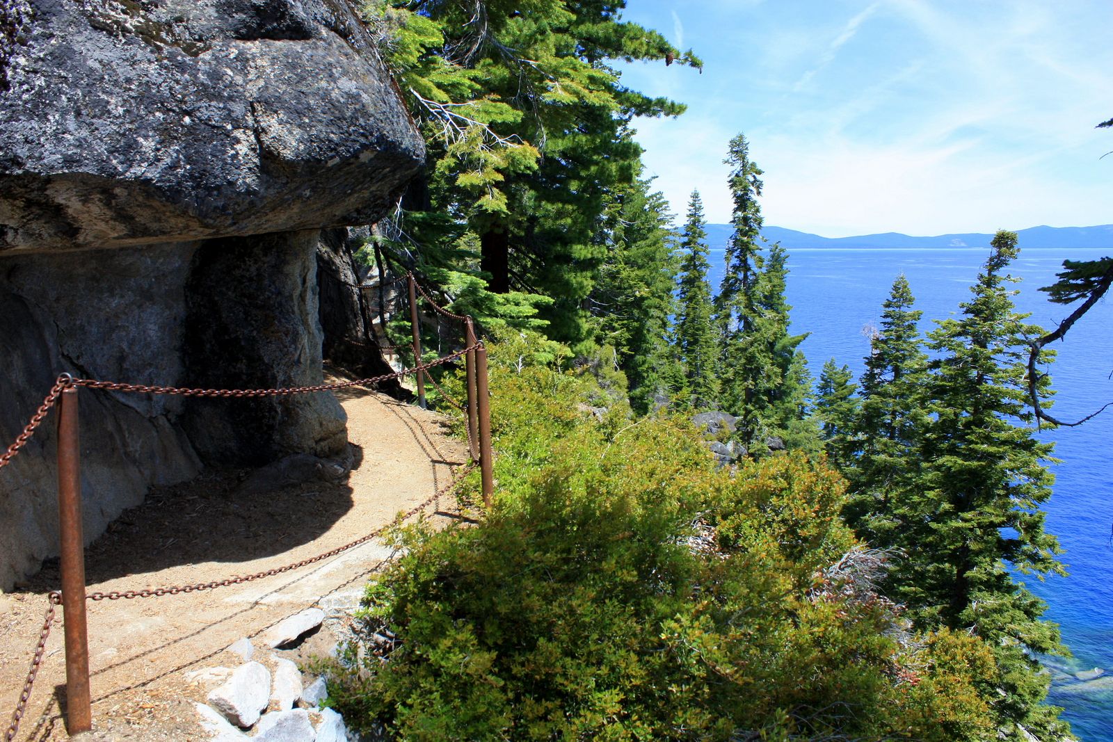
Dogs are not allowed anywhere on this trail. Check specific park rules before assuming a general leash policy applies, and the terrain ranges from moderate to genuinely strenuous depending on which section you’re on.
Glen Alpine Trail to Susie Lake: South Tahoe’s best alpine day hike
A 6-mile round trip with about 1,200 ft of gain into Desolation Wilderness, delivering a genuinely stunning alpine basin thick with wildflowers in July and August, with clear views of granite peaks surrounding the lake basin.
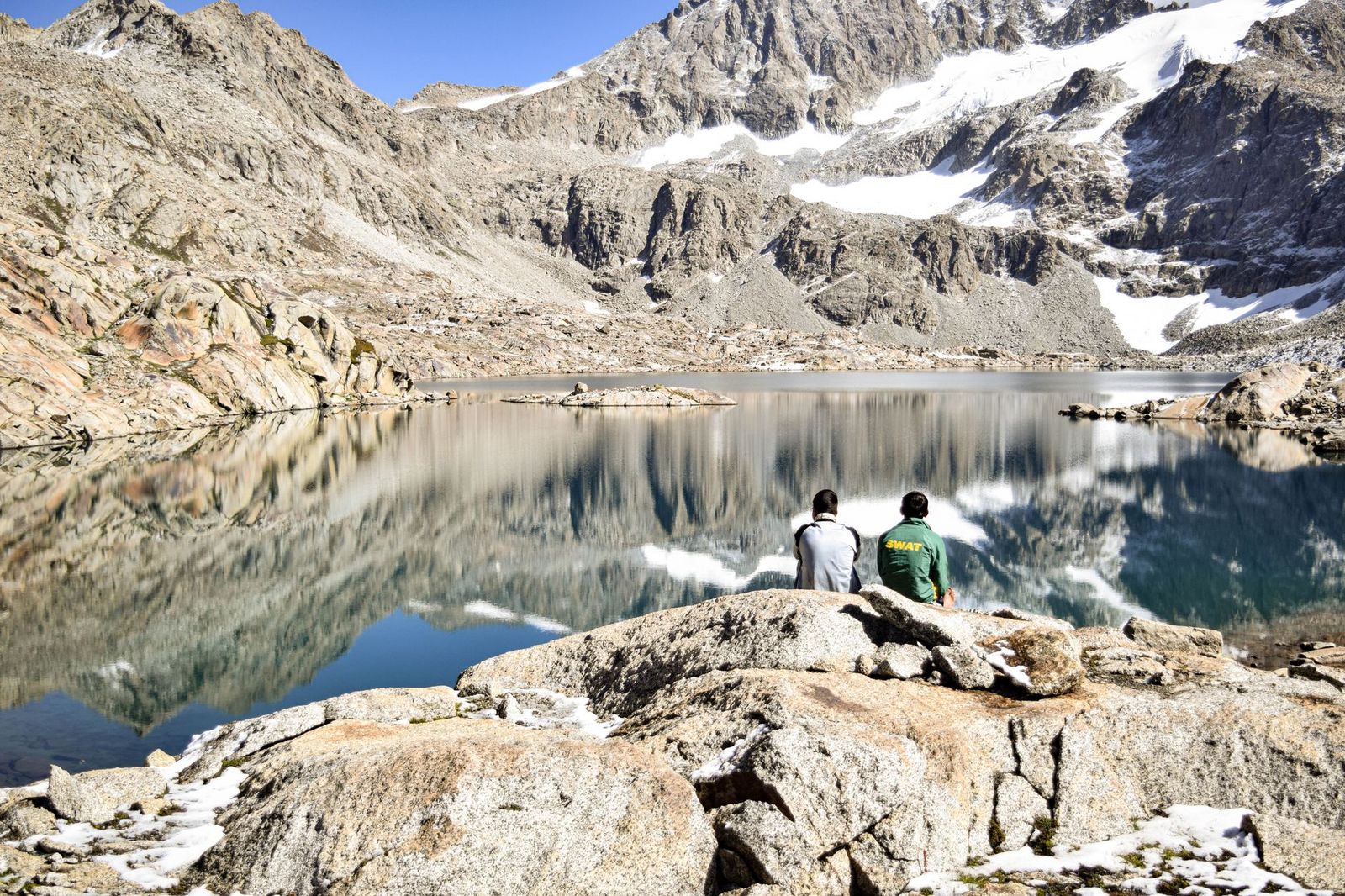
A free day-use Desolation Wilderness permit, self-issued at the trailhead, is required; no reservation needed for a day hike. This trailhead also serves as an alternate approach to Mount Tallac for hikers looking for a longer, less-trafficked route to the same summit.
Best difficult hiking trails around Lake Tahoe
These summit routes sit at the genuinely strenuous end of our California difficulty scale, rewarding real fitness with views the easier lakeside trails simply can’t match.
Mount Tallac: the best summit hike at Lake Tahoe
Roughly 10 miles round trip via the standard Tallac Trailhead route, with somewhere around 3,300–3,500 ft of elevation gain to a 9,735-ft summit (the longer Gilmore Lake approach runs closer to 12 miles with slightly less overall gain per mile). The reward is a genuinely spectacular panoramic view over the entire Tahoe Basin and Desolation Wilderness, including the cross-shaped snowfield visible from the lake below that gives the mountain its name recognition.
Like the Glen Alpine hike, this needs only a free, self-issued day-use permit at the trailhead, not a competitive reservation, but the trail itself is rocky and largely exposed, so start early to beat both the heat and the common afternoon thunderstorms.
The Tahoe Rim Trail: Lake Tahoe’s long-distance loop
The Tahoe Rim Trail circumnavigates the entire Lake Tahoe Basin across California and Nevada for 165 miles, accessible from 12 trailheads, with thru-hikers typically taking 2–3 weeks to complete the full loop. Sections overlap with the Pacific Crest Trail and pass directly through Desolation Wilderness, which means some Rim Trail segments carry the same permit requirements covered above.
Best day hike sections of the Tahoe Rim Trail for first-time visitors
Tahoe Meadows to the Ophir Creek overlook on the Nevada side runs about 5 miles at an easy-to-moderate grade with sweeping basin views. Brockway Summit to Martis Peak on the California side covers about 5 miles with excellent views and less foot traffic than the South Shore trails. Echo Summit to Big Meadow on the south shore runs roughly 6 miles through forested terrain with meadow views partway through.
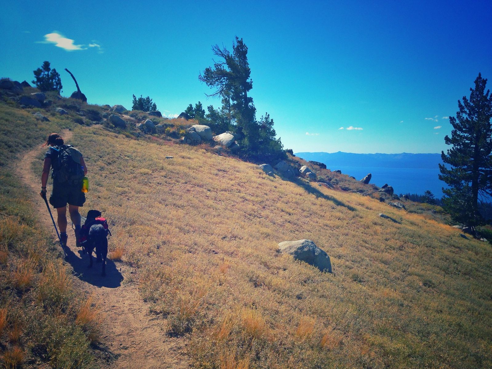
None of these require completing anything close to the full 165-mile loop to be worthwhile, and all three make for a genuinely satisfying half-day or full-day outing on their own.
Lake Tahoe hiking permits and seasonal access
Permit rules around Tahoe are more forgiving than most hikers assume, but the details genuinely matter depending on which trail and season you’re dealing with.
Desolation Wilderness permits: what you need for South Lake Tahoe hiking
Day-use permits are free and self-issued at trailhead kiosks year-round: no reservation, no fee, no quota, just fill out the form and go. Overnight permits are a different system entirely, worth understanding before you commit to a multi-day trip: a Recreation.gov reservation is required, with a quota in effect from the Friday before Memorial Day through September 30, a per-person fee ($5 for one night, $10 for two to fourteen nights, capped at $100 per permit), and a bear canister requirement for food storage.
Beyond Desolation Wilderness, Emerald Bay Road typically closes with the first significant snow in mid-November and reopens in spring, which shuts down Vikingsholm and Eagle Falls access entirely for the winter months. Check current road status before planning a shoulder-season trip.
Lake Tahoe’s trails reward picking the right shore and season more than any single “best” trail ever could. The iconic South Shore hikes deliver the postcard views, but the North Shore and the Rim Trail’s quieter sections are where the lake still feels genuinely wild. Check current permit and parking status before you go, since both have shifted meaningfully for 2026, and pack for real elevation gain even on hikes that look short on a map; Tahoe’s elevation alone adds more effort than the mileage numbers suggest at first glance. You can also pick up topographic paper trail maps to navigate backcountry sections easily.
Frequently asked questions about hiking around Lake Tahoe, California
What are the best hiking trails around Lake Tahoe?
Vikingsholm and Eagle Falls for an easy, iconic introduction, the Rubicon Trail for the best lakeside scenery at a moderate effort, and Mount Tallac for the single best summit view in the basin.
Are Lake Tahoe hiking trails open in winter?
Some are, but access shrinks significantly. Emerald Bay Road typically closes by mid-November due to snow, shutting down Vikingsholm and Eagle Falls access until spring. Higher-elevation trails and Desolation Wilderness routes are typically snow-covered and require winter travel skills well beyond standard hiking gear.
How do I get a Desolation Wilderness permit for Lake Tahoe hiking?
For a day hike, pick one up free at a self-issue kiosk right at the trailhead; no reservation needed. For an overnight trip, you’ll need a paid Recreation.gov reservation, which carries a quota during the Memorial Day-to-September 30 season.
Is north or south Lake Tahoe better for hiking?
South Shore has the iconic, most-searched trails (Emerald Bay, Eagle Falls, Rubicon, Mount Tallac) and more services nearby. North Shore offers a more alpine, noticeably less crowded experience for hikers who’ve already done the South Shore highlights.
What is the best hike at Emerald Bay, Lake Tahoe?
Vikingsholm for the best short, iconic view-to-effort ratio, or the Rubicon Trail if you want a longer, genuinely scenic lakeside hike departing from the same general area.
How hard is the Mount Tallac hike at Lake Tahoe?
Genuinely difficult around 10 miles round trip with roughly 3,300 to 3,500 ft of elevation gain, rocky terrain, and real exposure to afternoon thunderstorms in summer. Start early and bring trekking poles; this isn’t a casual add-on to a beach day.