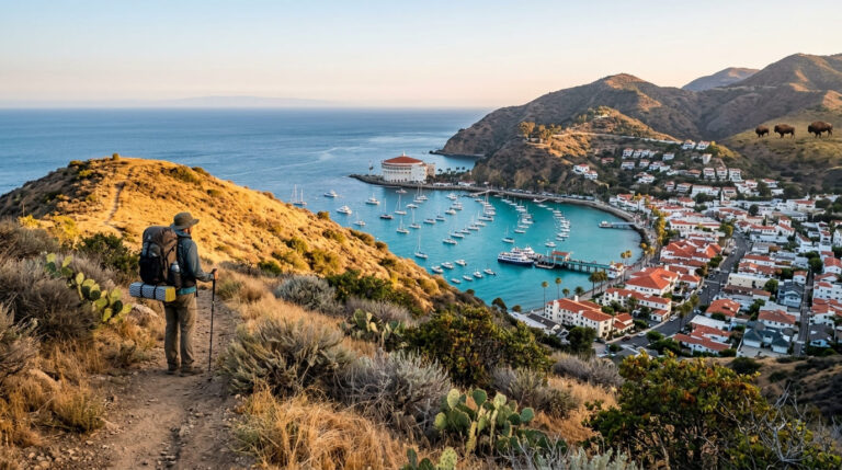
5 Best Coastal Hiking Trails in San Diego County, From Rare Pines to a Walk-In Sea Cave
Coastal Hiking Trails in San Diego do something most beach towns can’t: it gives you a real hike, not just a boardwalk stroll, with the ocean in view the entire way. These five trails, part of the same San Diego County as our top picks trails, range from a globally rare pine forest on sandstone cliffs to a sea cave you walk into through a gift shop.
Disclosure: Please note that some of the links below are affiliate links and at no additional cost to you, I may earn a commission. Know that I only recommend hiking gear I personally stand behind; when you use my affiliate links, it helps me run this blog and keep all of this content free of charge for readers (like you).
Key takeaways
- Best flagship hike: Torrey Pines State Natural Reserve, home to one of the rarest pine species on Earth, with a genuinely steep trail down to the beach.
- Best history-plus-wildlife combo: the Bayside Trail at Cabrillo National Monument, WWII coastal defenses, San Diego Bay views, and winter gray whale sightings.
- Best sunset spot: Sunset Cliffs Natural Park, dramatic sea arches and caves, though the cliffs themselves are actively eroding and deserve real caution.
- Most novel: La Jolla Coast Walk Trail, sea lions, tide pools, and a walk-in sea cave, all on the shortest trail in this guide.
- Best for birders: San Elijo Lagoon, one of Southern California’s largest coastal wetlands, with over 300 recorded bird species.
- My rule for all five: check current conditions before you drive out. Two of these trails have real, active situational factors in 2026, more on that below.
How these five coastal trails compare
| Trail | Round-trip distance | Elevation gain | Difficulty | Best for |
|---|---|---|---|---|
| Torrey Pines (Beach Trail) | ~1.5 mi | ~300-330 ft | Easy–moderate | Rare pines, steep beach access |
| Bayside Trail (Cabrillo National Monument) | ~2.2-2.5 mi | ~340-400 ft | Easy–moderate | History, winter whale watching |
| Sunset Cliffs Natural Park | ~1-3 mi (flexible) | Minimal | Easy | Sea arches, golden hour |
| La Jolla Coast Walk | ~0.5-0.75 mi (extendable) | Under 100 ft | Easy | Sea caves, sea lions |
| San Elijo Lagoon | ~1-3 mi (loop options) | Minimal | Easy | Birdwatching, wheelchair-accessible |
Torrey Pines State Natural Reserve (Beach Trail & Guy Fleming Trail)
Torrey Pines is the reason most “coastal San Diego” searches exist in the first place, and it earns the reputation, this is one of only two places on Earth where the Torrey pine grows wild.
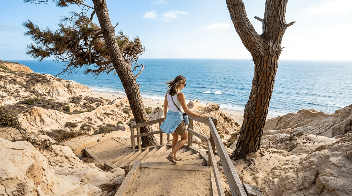
Trailhead access and parking at the reserve (fee, no reservation required for individuals)
You’ll pay a demand-based parking fee, roughly $10 to $25 per vehicle depending on the day, at the South Beach or North Beach lots, open 7:15 a.m. to sunset daily.
I want to correct a common misconception here: individual hikers do not need a reservation. Reservations only apply to organized groups and commercial activity (tours, photo shoots, fitness classes); a solo or family visit is first-come, first-served.
One thing worth checking before you go: the reserve just finished a four-month construction closure in early 2026, and a second construction phase is scheduled for August or September 2026, confirm current access on the state parks site before making the drive.
Difficulty, distance and elevation gain down to the beach
The Beach Trail runs about 1.5 miles round trip with roughly 300 to 330 feet of elevation gain, short, but the descent through sandstone switchbacks (including a signature spiral staircase near the bottom) is steeper than it looks from the top. The uphill return is where most people slow down.
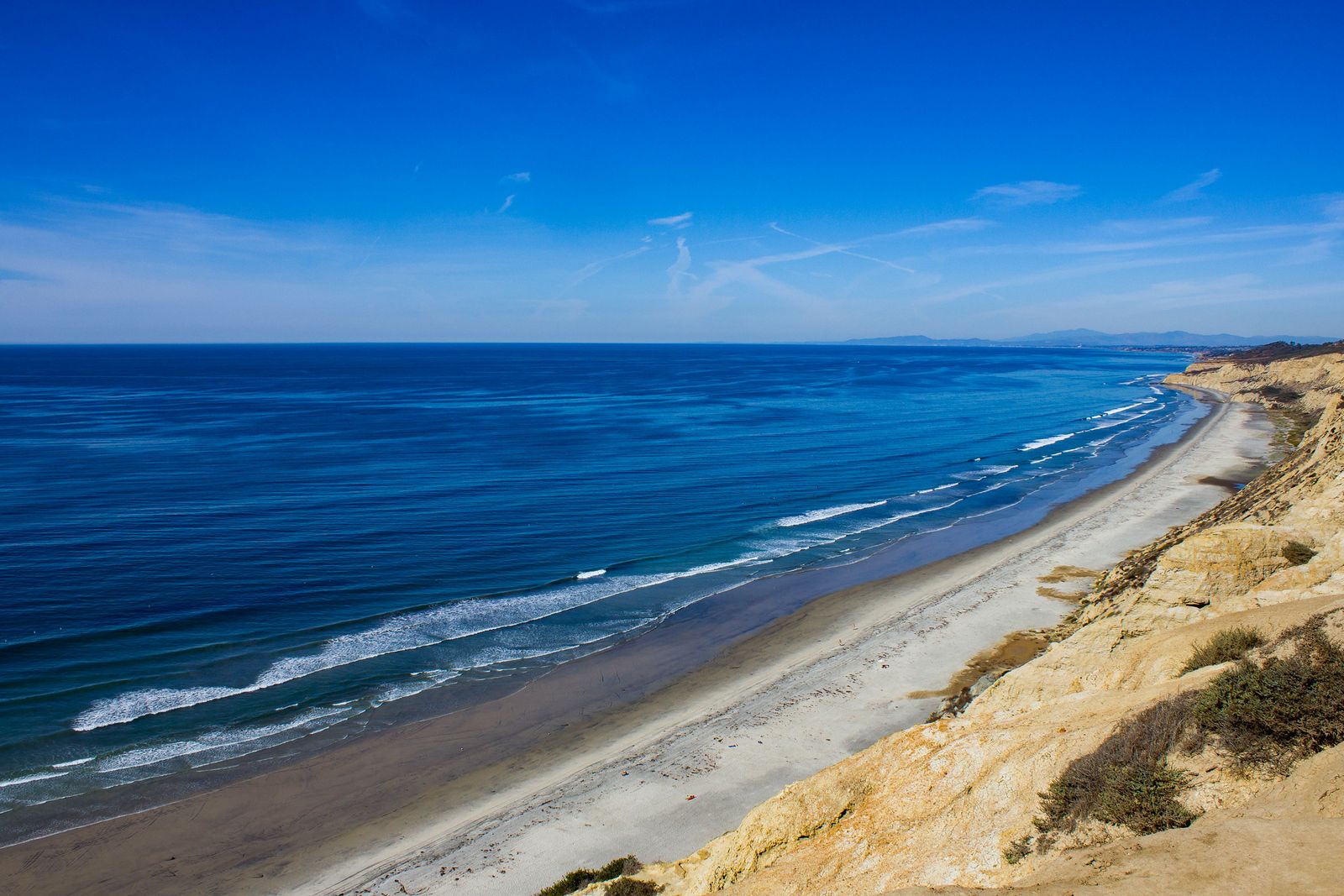
What you’ll see: rare Torrey pines, sandstone cliffs and the Pacific Ocean
Pinus torreyana grows wild in exactly two places on the planet: this reserve and Santa Rosa Island off Santa Barbara, alongside eroded sandstone badlands and open Pacific views the whole way down. Leave the dog at home if you’re bringing one: pets aren’t permitted anywhere in the reserve, including inside parked vehicles, which puts it in different territory than most dog-friendly California trails.
Best time to hike Torrey Pines: low tide and early mornings
Beach-level exploring depends on the tide, check a tide chart before you go, since high tide can push waves right up against the cliffs. Parking is the other constraint: upper lots routinely fill by 9 a.m. on weekends, after which the road up gets gated and you’re stuck parking below.
Bayside Trail at Cabrillo National Monument (Point Loma)
This is the history-and-wildlife trail of the bunch, Cabrillo commemorates the first European landing on the West Coast in 1542, and the Bayside Trail winds through the same bluffs that once anchored Southern California’s coastal defense system.
Trailhead access and parking at the Cabrillo National Monument entrance (fee)
Entry runs about $20 per vehicle, $15 per motorcycle, or $10 per person walking or biking in, an annual “America the Beautiful” pass covers it too. The park is open 9 a.m. to 5 p.m. daily, but the Bayside Trail itself closes at 4 p.m., so plan your visit around that, not the park’s overall hours.
Difficulty, distance and elevation gain on the Bayside Trail
Expect roughly 2.2 to 2.5 miles round trip (sources vary slightly depending on where they measure from) with about 340 to 400 feet of gain, dropping from the bluffs nearly to sea level and back. It’s an easy-to-moderate profile, family-manageable but genuinely a workout on the return climb.
What you’ll see: San Diego Bay, historic coastal defenses and old bunkers
Unlike the ocean-facing trails elsewhere on this list, the Bayside Trail faces inward toward San Diego Bay, past the remains of WWII-era coastal artillery positions built to guard the harbor entrance. One correction worth noting: the tide pools most visitors come for are actually on a separate trail, the Coastal Trail on the west side of the peninsula, not on Bayside Trail itself, which stays on the bay side throughout.
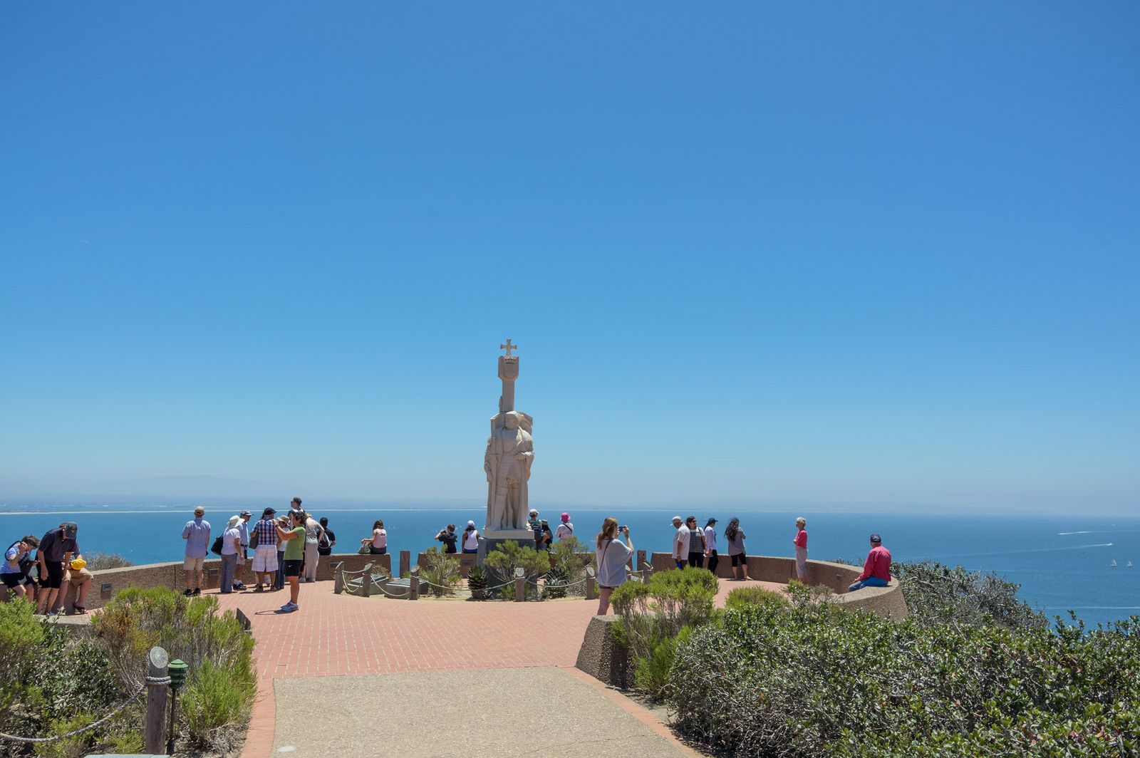
Best time to hike the Bayside Trail: winter for gray whale sightings
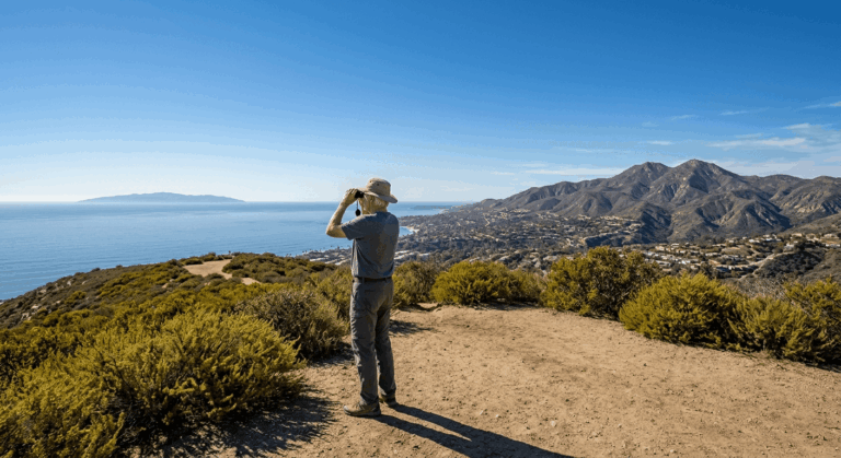
Point Loma’s elevated bluffs are a genuine, well-documented gray whale watching spot each winter as the whales migrate along the coast, bring binoculars. Outside of the November-to-early-January window when sunset falls before the 5 p.m. closing time, you won’t catch sunset here; head to Sunset Cliffs instead for that.
Sunset Cliffs Natural Park Trail (Point Loma)
Sunset Cliffs lives up to its name better than almost anywhere in the county, but I want to be direct about something the trail’s name doesn’t tell you: these cliffs are actively, measurably eroding, and it matters for how you hike here.
Trailhead access and parking along Sunset Cliffs Boulevard
Free street parking runs the length of Sunset Cliffs Boulevard, including a popular lot at Ladera Street, the most casual, no-fee access point of any trail in this guide.
Difficulty, distance and elevation gain along the sea cliff bluffs
The blufftop path stretches roughly 1.5 miles as an official park boundary, though you can walk anywhere from a quick 1-mile stroll to a 3-mile round trip by connecting sidewalks and viewpoints further along. Elevation change is minimal throughout, this is a flat, easy walk, not a climb.
What you’ll see: sea caves, a natural arch and dramatic sunsets
The eroding sandstone coastline has carved genuine sea caves and a natural rock arch visible from the blufftop, plus San Diego’s most iconic unobstructed westward sunset view.
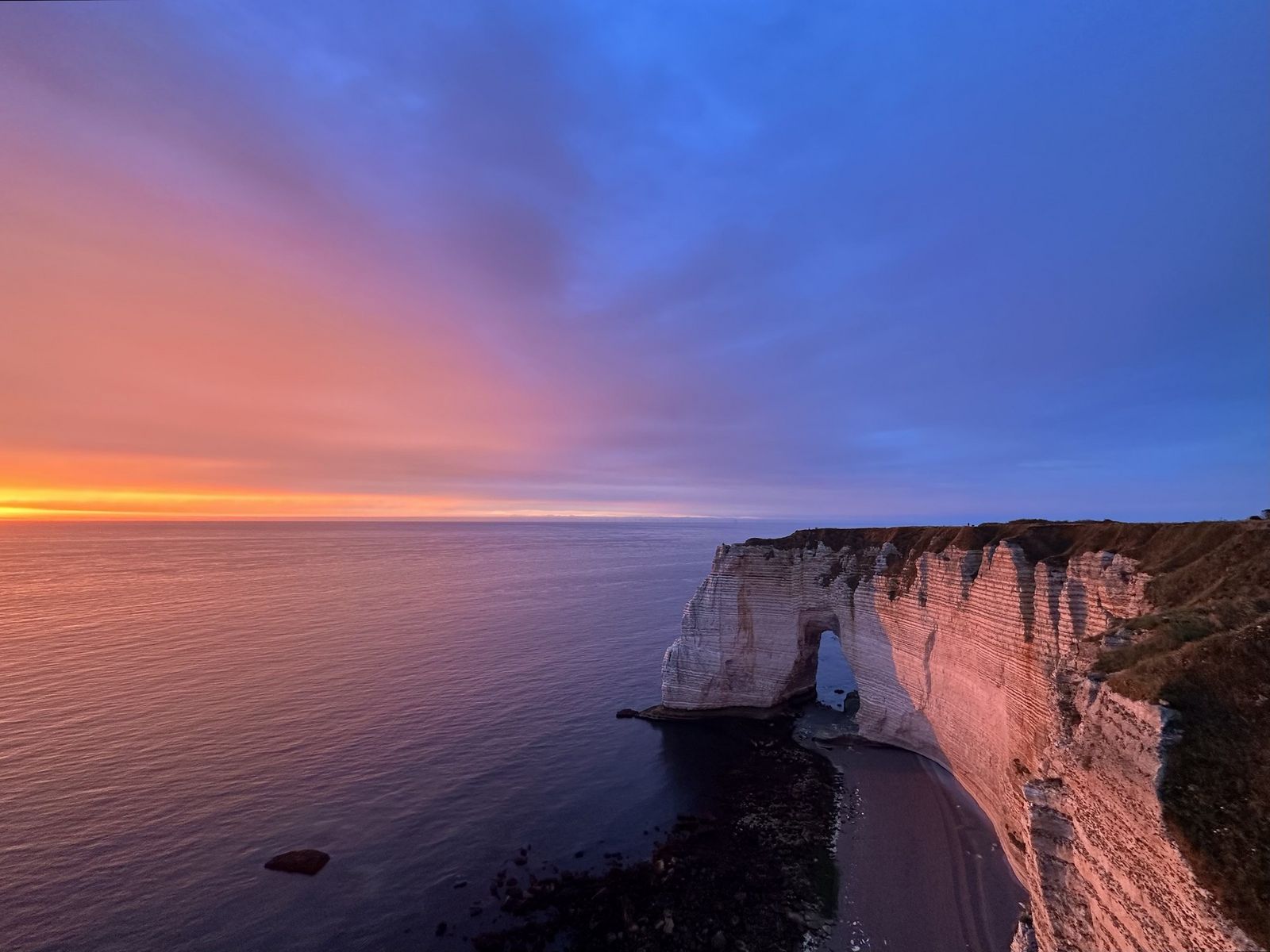
A real safety update: a section of bluff near the arch collapsed in April 2026, and geologists have been clear that the cliffs here continue to fracture and give way over time, the path itself is safe if you stay on it and behind the fencing, but the danger is genuinely concentrated right at the cliff edges and lower rock areas, not a hypothetical.
Best time to hike Sunset Cliffs: sunset, with real caution near the edges
Golden hour is obviously the draw, and it’s worth it, but stay on the marked path and away from unfenced edges regardless of how solid the ground looks, especially after rain when erosion accelerates. If peak-top sunset views without the cliff-edge factor sound better to you, our sunset-view trails guide covers inland options too.
La Jolla Coast Walk Trail
This is the shortest, most casual trail in this guide, and also the one packed with the most to actually look at per minute walked.
Trailhead access and parking at the Coast Walk trailhead, La Jolla
Street parking along Coast Walk and Cave Street is notoriously tight on weekends, this is genuinely the hardest parking situation in this guide, tourist traffic included. Arrive early or expect to circle for a spot.
Difficulty, distance and elevation gain to the La Jolla sea caves
The core Coast Walk segment itself runs about 0.5 to 0.75 miles round trip with under 100 feet of elevation change, the shortest, easiest trail here by a wide margin. You can extend it much further by continuing along the connecting sidewalk toward La Jolla Cove and Children’s Pool if you want more.
What you’ll see: sea caves, La Jolla Cove and resting sea lions
La Jolla has seven sea caves total, but Sunny Jim Cave is the only one in California accessible by land, a roughly 145-step descent through a shop called The Cave Store for about $10 admission. Along the bluffs and at La Jolla Cove, resident sea lions and harbor seals are a near-guarantee; keep the recommended 50 feet of distance, since these are wild animals, not exhibits.
Best time to hike the Coast Walk Trail: low tide for cave access
Low tide is genuinely the difference-maker here, some tide pool areas and lower rock sections simply aren’t accessible or safe at high tide. Check a tide chart before you go, the same rule that applies at Torrey Pines a few miles up the coast.
San Elijo Lagoon Trail (Cardiff/Encinitas)
This is the wetland counterpart to the four bluff-and-beach trails above it, and it’s also a stone’s throw from Annie’s Canyon Trail in our canyon guide; both sit inside the same San Elijo Lagoon Ecological Reserve, just at opposite ends of it.
Trailhead access and parking at the San Elijo Lagoon Nature Center
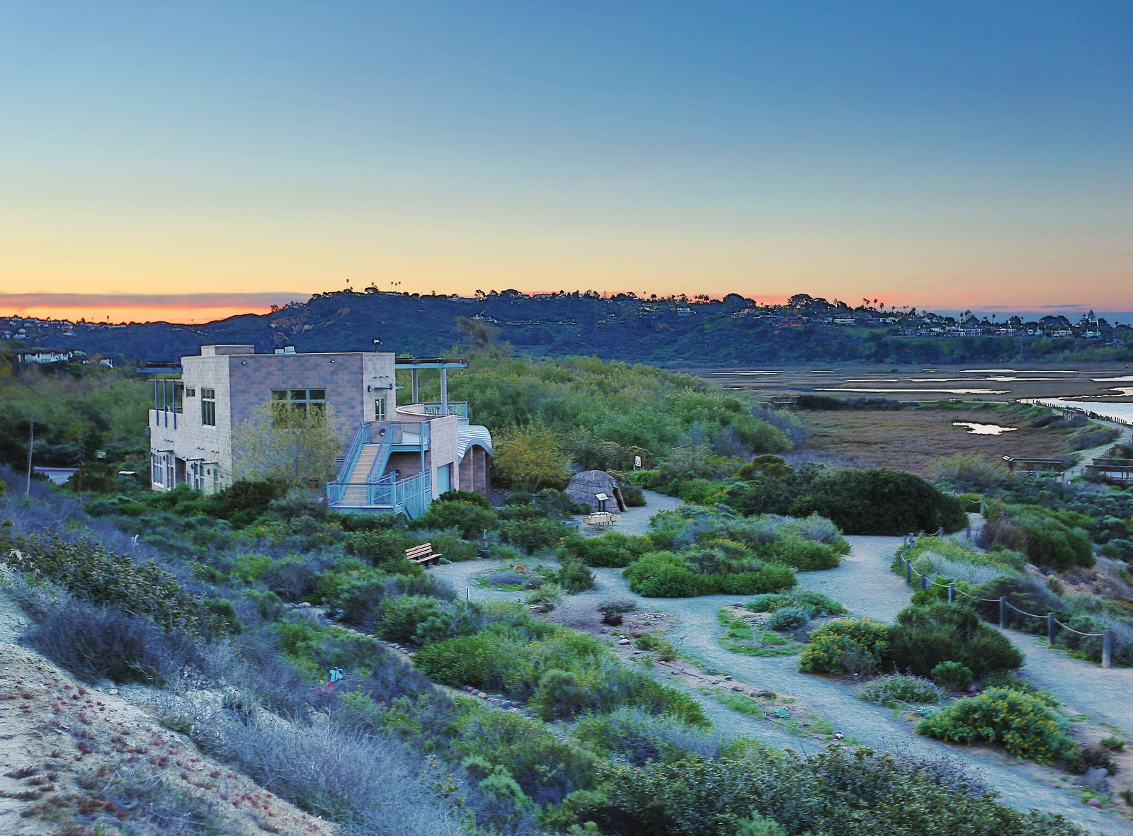
Free parking is available at the Nature Center off Manchester Avenue in Cardiff-by-the-Sea, with restrooms, an observation deck, and interpretive exhibits inside.
Difficulty, distance and elevation gain around the lagoon loop
The core Nature Center double loop is a flat, ADA-accessible mile suitable for wheelchairs and strollers. If you want more distance, connecting trails extend the walk to 2 to 3 miles or more across the reserve’s 7-plus miles of total trails, all flat, easy walking on packed dirt and boardwalk.
What you’ll see: migratory birds and wetland views near the Pacific
San Elijo is one of Southern California’s most significant coastal wetlands, with over 300 recorded bird species moving through on the Pacific Flyway, herons, egrets, terns, and shorebirds are a near-certainty on any visit, with the ocean visible in the distance where the lagoon meets the coast.
Best time to hike San Elijo Lagoon: fall and winter for bird migration
Migratory bird activity peaks from fall through winter, though the lagoon is a genuinely pleasant, easy walk in any season thanks to its flat terrain and partial shade.
The bottom line
Start with Torrey Pines if you want the single most iconic San Diego coastal hike, or La Jolla Coast Walk if you’d rather spend your time watching sea lions than climbing. Sunset Cliffs earns its name at golden hour, but treat the cliff-edge warnings as current, not boilerplate, the erosion here is active and ongoing.
This guide is part of our full San Diego County hiking hub, alongside our desert trails guide if you want to trade ocean fog for actual desert heat on your next San Diego trip.
Frequently asked questions about hiking trails near the coast in San Diego County
How do you get to Torrey Pines hiking trails?
Torrey Pines State Natural Reserve sits between La Jolla and Del Mar off North Torrey Pines Road, with parking at the South Beach and North Beach lots. Both require the per-vehicle day-use fee.
Is the Torrey Pines hiking trail open?
Yes, as of this writing, the reserve fully reopened in March 2026 after a four-month construction closure, though a second, shorter construction phase is scheduled for August or September 2026. Confirm current status before a visit later this summer.
Do you need a reservation for Torrey Pines State Natural Reserve?
No, not for individual visitors or families, reservations only apply to organized groups and commercial activity. You’ll pay a per-vehicle parking fee at the gate instead.
Is Sunset Cliffs dangerous?
The blufftop path itself is safe if you stay on it and respect the fencing. The real danger is concentrated at unfenced cliff edges and lower rock areas, which are actively eroding, a section collapsed near the arch in April 2026, and geologists consider more collapses a matter of when, not if.
Can you see whales from San Diego’s coastal trails?
Yes, the Bayside Trail at Cabrillo National Monument is a well-documented gray whale watching spot each winter as the whales migrate along the coast. Sunset Cliffs and La Jolla can also produce winter sightings, though Cabrillo’s elevated bluffs give the most reliable vantage point.
Is the La Jolla Coast Walk Trail dog-friendly?
Generally yes on the main Coast Walk path, though check current leash rules near La Jolla Cove and the seal/sea lion areas, where dogs are typically restricted to protect resting marine mammals.