5 Best Desert Hiking Trails in San Diego County, From a Palm Oasis to a Squeeze-Through Slot Canyon
Anza-Borrego Desert State Park is the largest state park in California, and most of San Diego never drives out to see it. That’s a mistake; this is a genuinely different kind of hiking than the coastal cliffs and chaparral peaks covered elsewhere in this cluster, and these five trails cover the range: a native palm oasis, a sandstone slot you squeeze sideways through, wind-carved caves, a rare desert tree, and a waterfall draped in ferns. If you are looking for the premier Desert Hiking Trails in San Diego County, this is where you start, but If ocean fog is more your speed, our coastal trails guide covers the other extreme of this county.
Disclosure: Please note that some of the links below are affiliate links and at no additional cost to you, I may earn a commission. Know that I only recommend hiking gear I personally stand behind; when you use my affiliate links, it helps me run this blog and keep all of this content free of charge for readers (like you).
Key takeaways
- Best flagship hike: Borrego Palm Canyon, one of the largest native fan palm groves in the country, with a seasonal waterfall.
- Most novel: The Slot, a genuine sandstone slot canyon narrow enough to require sideways squeezing in spots.
- Best short adventure: Wind Caves, a short hike to wind-eroded sandstone caves, reached via a genuinely rugged approach drive.
- Best true beginner pick: Elephant Tree Discovery Trail, a flat, self-guided nature loop built around one of the rarest trees in California.
- Hardest trail on this list: Maidenhair Falls via Hellhole Canyon, a real desert waterfall at the end of the most demanding hike here.
- My rule for all five, no exceptions: cool season only. This isn’t the “start early” advice from the rest of this cluster, desert summer heat here is a genuine, sometimes fatal hazard, not just discomfort.
How these five desert trails compare
| Trail | Round-trip distance | Elevation gain | Difficulty | Best for |
|---|---|---|---|---|
| Borrego Palm Canyon | ~3 mi | ~450-460 ft | Moderate | Palm oasis, seasonal waterfall |
| The Slot (Slot Canyon Trail) | ~2.2 mi | ~100-200 ft | Easy–moderate | Slot canyon squeeze |
| Wind Caves Trail | ~1.25 mi (hike only) | ~250 ft | Easy–moderate | Short adventure, badlands views |
| Elephant Tree Discovery Trail | ~1.5 mi | Under 100 ft | Easy | Beginners, self-guided nature walk |
| Maidenhair Falls (Hellhole Canyon) | ~5-5.6 mi | ~950-1,200 ft | Strenuous | Desert waterfall, toughest hike here |
Borrego Palm Canyon Trail (Anza-Borrego Desert State Park)
This is the trail that put Anza-Borrego on the map in the first place, literally: protecting this canyon was the original reason the park was created back in the 1930s.
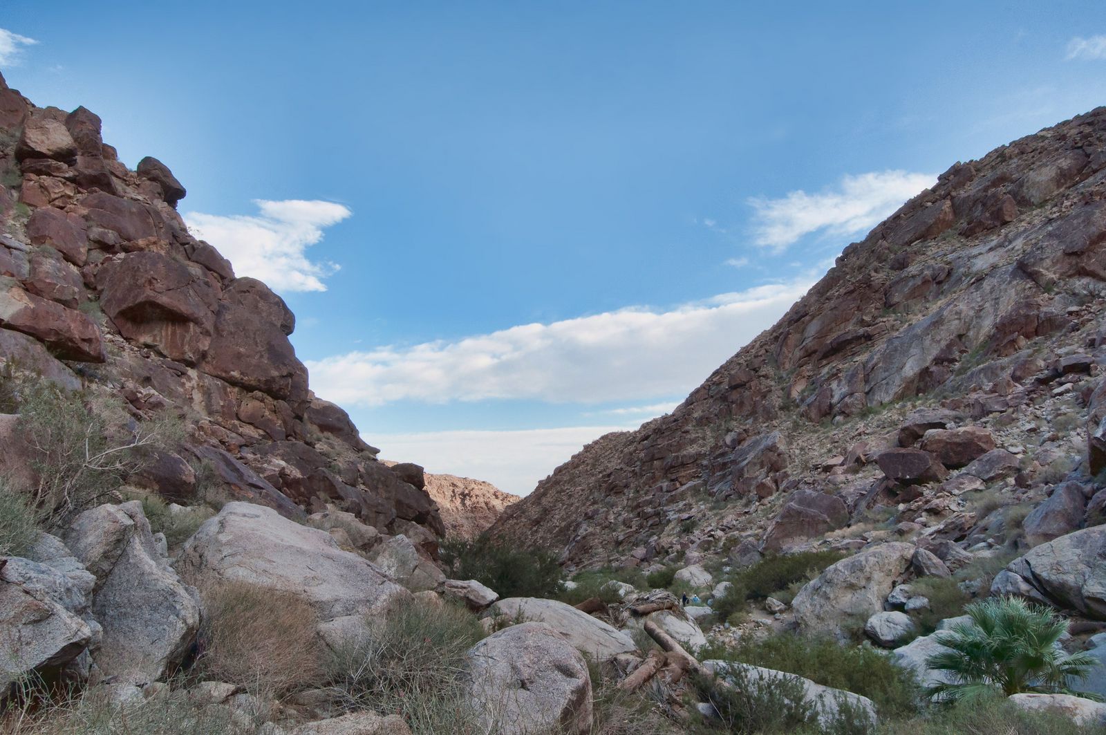
Trailhead access and parking at the Borrego Palm Canyon Campground
The trail starts at the west end of Borrego Palm Canyon Campground, a short drive from the state park visitor center. A day-use fee (roughly $8 to $10 per vehicle, depending on the source and season) is charged here, one of only three fee-based trailhead areas in the entire park, alongside The Slot and Hellhole Canyon.

Difficulty, distance and elevation gain to the native fan palm oasis
Plan on roughly 3 miles round trip with about 450 to 460 feet of elevation gain over rocky, exposed terrain, rated moderate mostly because of heat exposure rather than the climbing itself. Budget at least two hours.
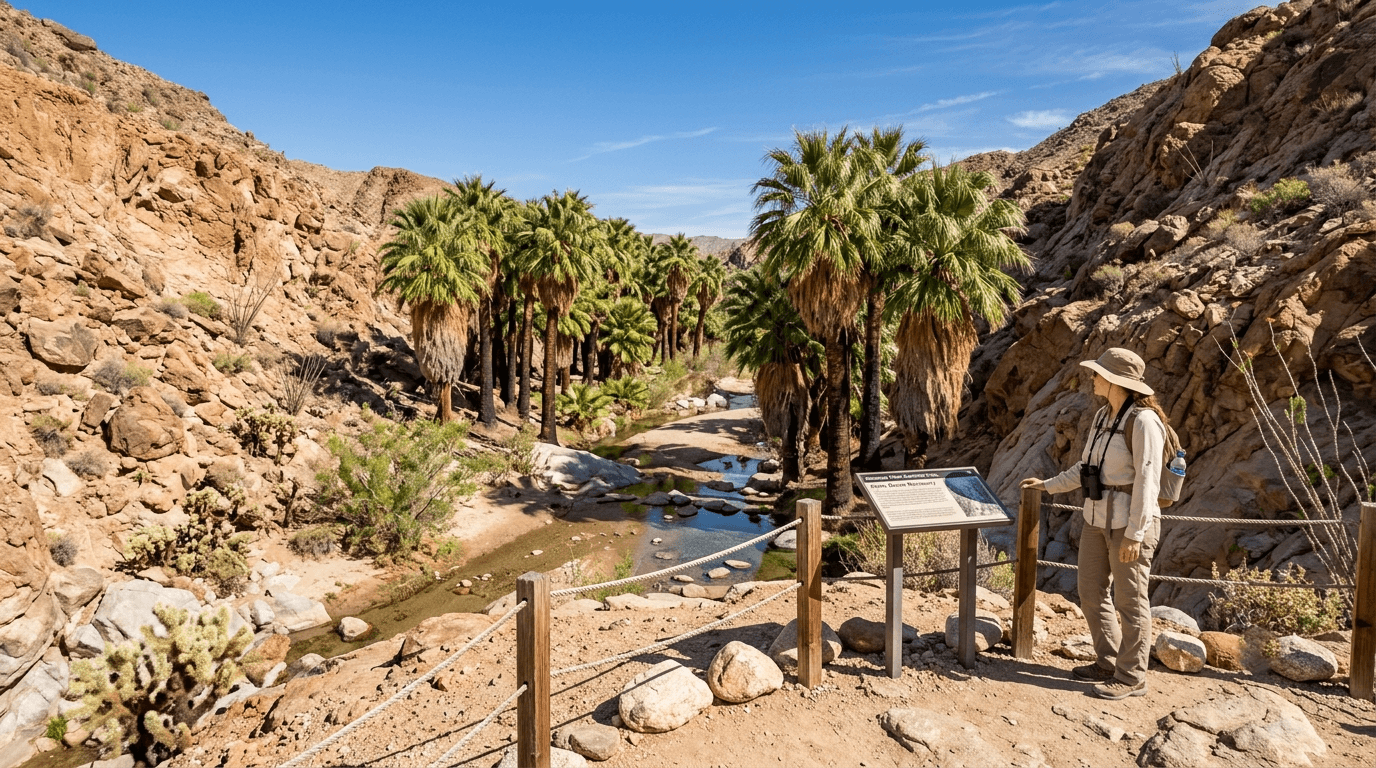
What you’ll see: California’s largest native fan palm grove, with an important access update
The California fan palm (Washingtonia filifera) is the state’s only native palm species, and this oasis is one of the largest groves of them in the country.
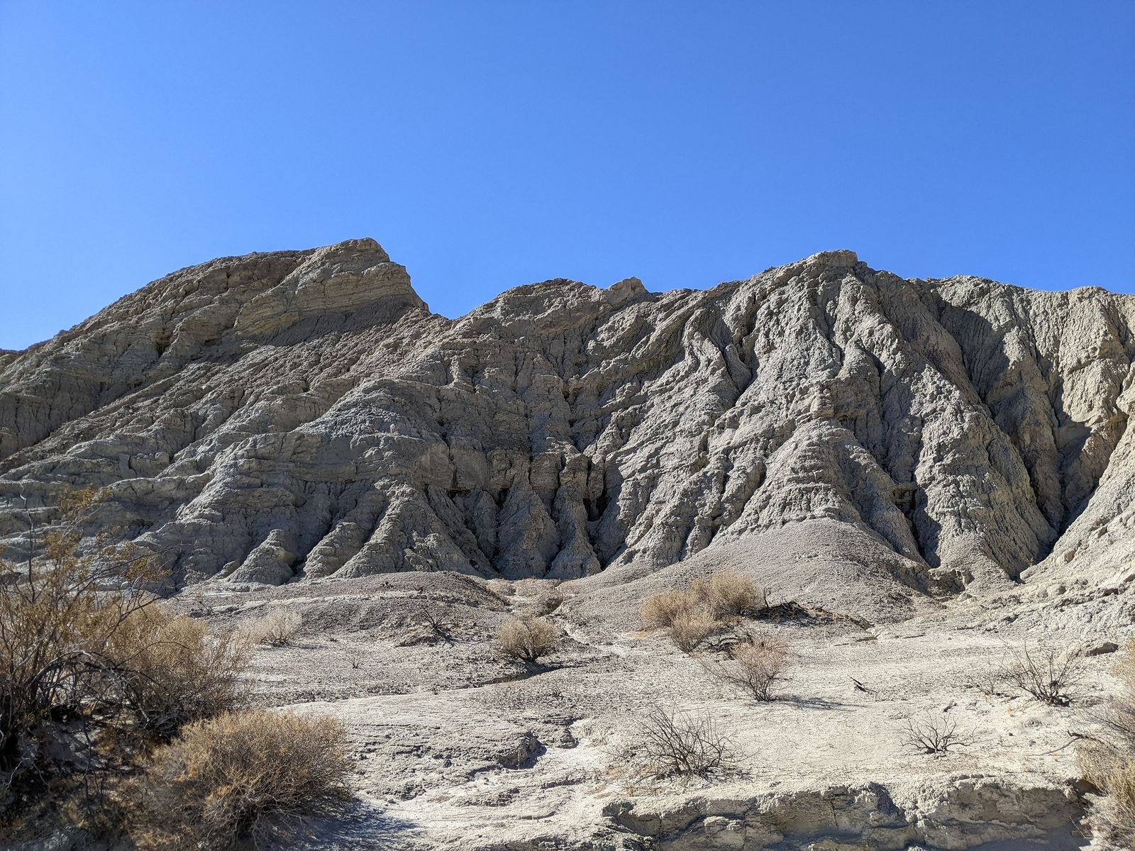
One correction worth knowing before you go: a January 2020 fire damaged the first, most famous palm grove, and as of recent visits this spring and summer, that grove remains closed to direct entry; the trail now leads to a viewpoint overlooking the recovering palms rather than walking in among them.
The palms are recovering well, but confirm current access at the visitor center before you count on walking through the oasis itself.
Best time to hike Borrego Palm Canyon: cool season, not summer
This is the first of five trails in this post where I’ll say the same thing: hike this between October and April, not in summer. Spring also brings a real bonus here: wildflower season can turn the approach into its own attraction, if that’s what draws you out.
Slot Canyon Trail (Borrego Springs)
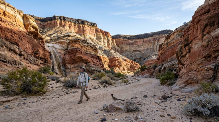
Locally, this is just called “The Slot,” and it’s the most purely fun trail in this guide, a narrow sandstone passage that requires actually turning your shoulders sideways in places.
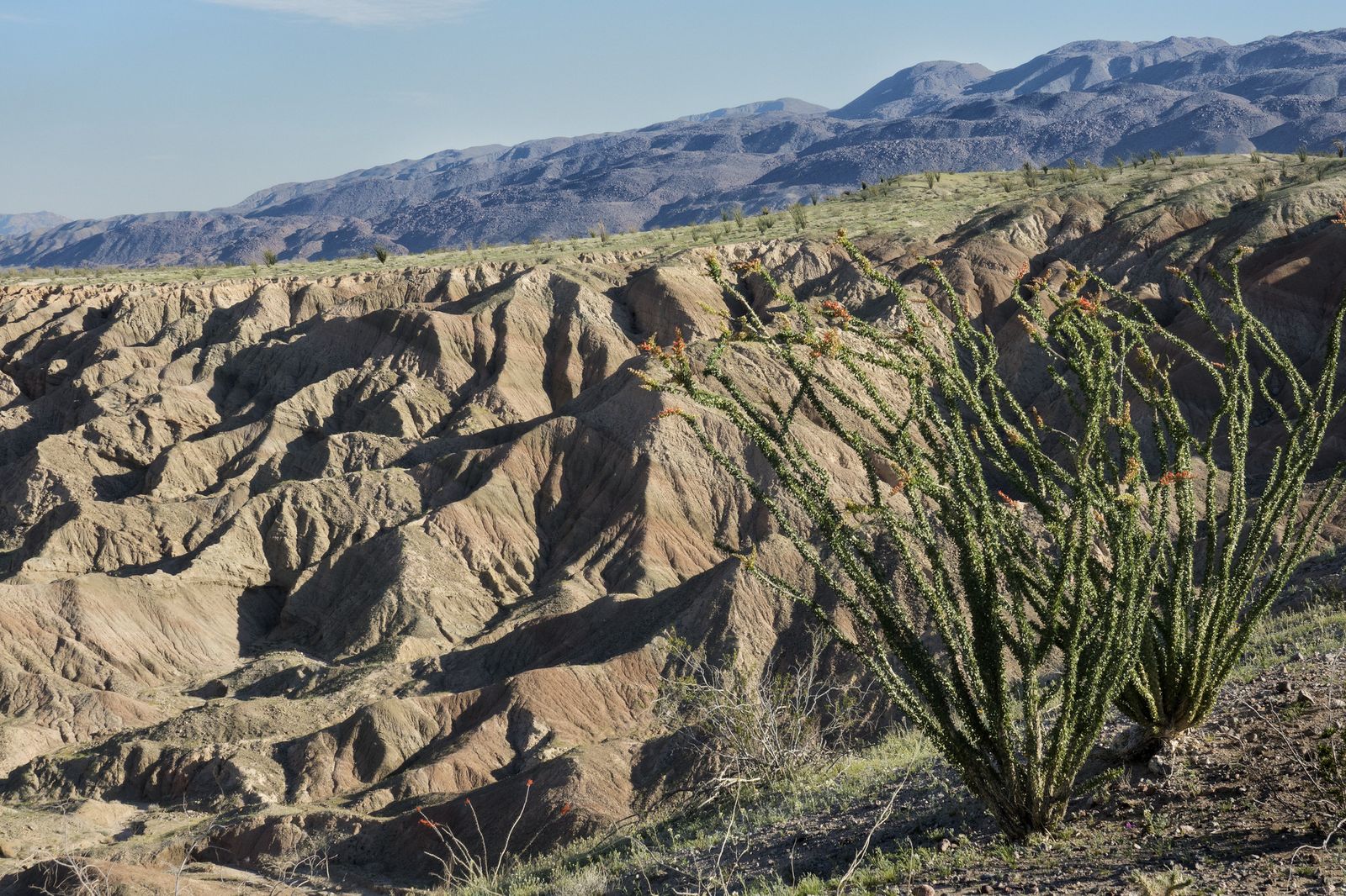
Trailhead access and parking off Buttes Pass Road, Borrego Springs
I want to correct something here: this isn’t a bare, no-facilities pullout. The dirt road off Highway 78 (signed “Buttes Pass,” easy to miss) leads about 2 miles to a real parking area with a vault toilet and a cash-only pay station, a $10 day-use fee applies. Standard cars can usually make the drive in dry conditions, though the ranger station sometimes closes the lot once it fills on busy weekends, so arrive before 9 a.m.
Difficulty, distance and elevation gain through the narrow slot canyon
The full loop runs about 2.2 miles with roughly 100 to 200 feet of elevation change, easy walking, rated moderate only because of the technical squeezing required inside the slot itself, not the distance or climbing.
What you’ll see: a winding sandstone slot canyon you can squeeze through
The walls rise up to 40 feet high in places while the canyon floor narrows to barely a foot or two wide, genuinely one of the more unusual hiking experiences in San Diego County, and short enough to do more than once in a day. Leave the dog at home; they’re not allowed on this trail.
Best time to hike the Slot Canyon: avoid flash-flood risk after storms
This is the one trail on this list with a sharper, more acute hazard than general heat: flash flooding. Slot canyons can fill with fast-moving water from rain falling miles away in the surrounding watershed, even under a clear sky at the trailhead, never enter if rain is possible anywhere upstream.
Wind Caves Trail (Split Mountain, Anza-Borrego)
I want to correct a real mix-up here: the “hike” and the “drive” to reach it are two very different things, and the heading data floating around for this trail often blends them together.
Trailhead access and parking at the Split Mountain / Fish Creek Wash trailhead
The drive is the demanding part, from where pavement ends on Split Mountain Road, it’s about 4 miles down a sandy wash (Fish Creek Wash) to the trailhead, and high-clearance or 4WD is genuinely recommended, especially after any recent rain. No fee or permit is required once you arrive.
Difficulty, distance and elevation gain to the sandstone wind caves
The actual named trail is short: about 1.25 miles round trip with roughly 250 feet of elevation gain, doable by most fitness levels even in warm weather given how brief it is. Don’t let the rugged drive make you think the hike itself is equally tough, it isn’t.
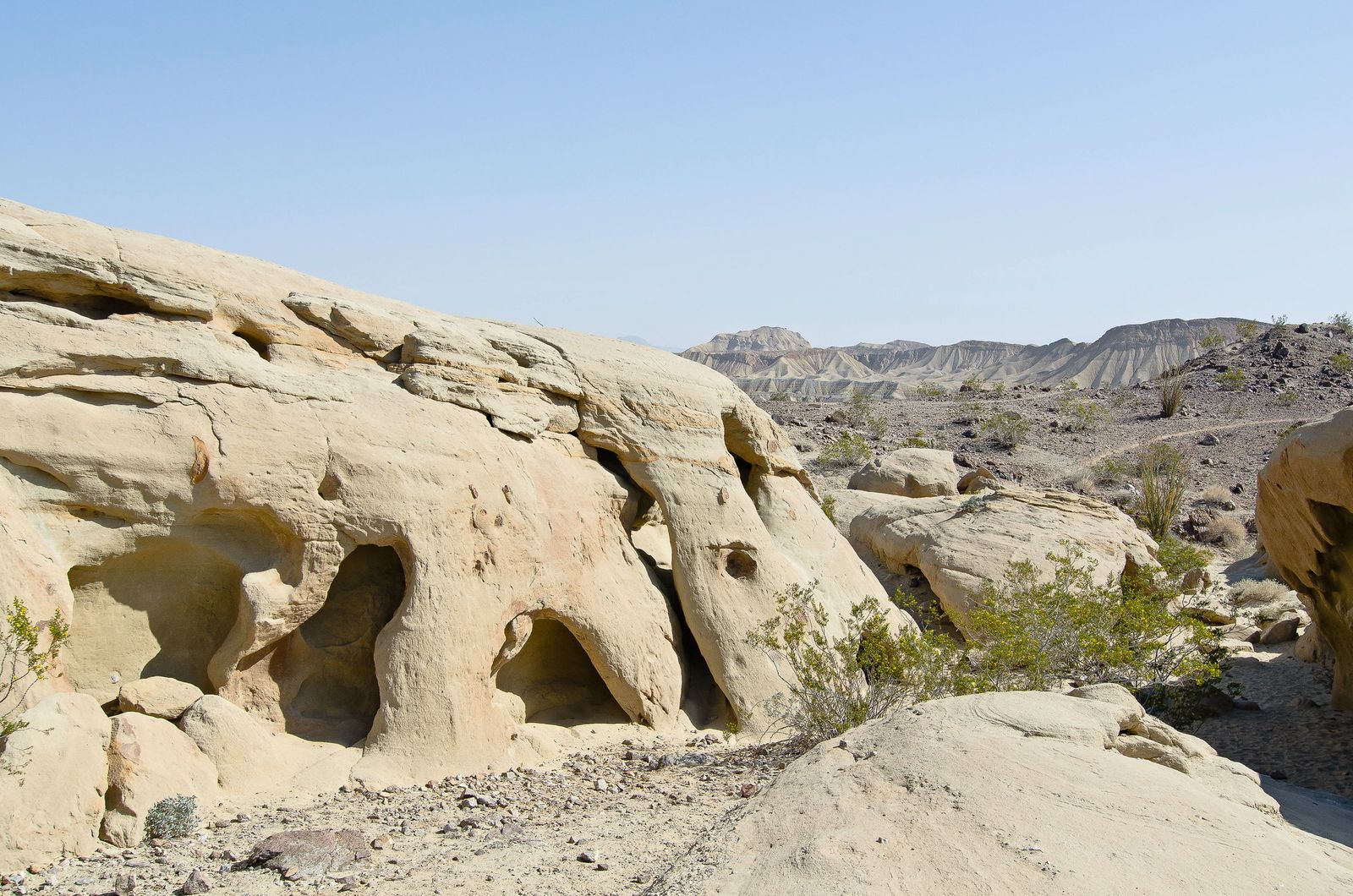
What you’ll see: wind-carved sandstone caves and honeycomb formations
The formations here are genuinely climbable, wind-eroded pockets, alcoves, and small tunnels in sandstone that you can crawl through and explore, with sweeping views over the Carrizo Badlands from the top. These badlands also happen to be one of the county’s better sunset-photography spots; see our sunset-view trails guide if golden-hour hikes are what you’re after.
Best time to hike the Wind Caves: early morning before desert heat
The trail is fully exposed with no shade anywhere along it, so even though it’s short, mid-day summer heat makes it genuinely miserable. Morning starts matter here more than the mileage would suggest.
Elephant Tree Discovery Trail (Anza-Borrego Desert State Park)
This is the trail I send actual first-time desert hikers to, short, flat, self-guided, and built specifically to teach you what you’re looking at.
Trailhead access and parking at the Elephant Tree Discovery trailhead
A short dirt road off Split Mountain Road leads to a small pullout with a brochure dispenser box at the start, pick up the numbered self-guided pamphlet here, since the trail is built around 17 numbered signposts explaining the desert plants you’ll pass. Most standard vehicles can make the drive in dry conditions.
Difficulty, distance and elevation gain on the Elephant Tree loop
This is the shortest, easiest trail in this guide: about 1.5 miles as a loop with well under 100 feet of elevation change, genuinely doable by nearly anyone.
What you’ll see: a rare elephant tree and desert interpretive signage
Bursera microphylla, the elephant tree, grows commonly in Baja California but reaches the very northern edge of its range here, making this one of a small handful of places in the U.S. where it grows wild at all. Around signpost 10, you’ll find the trail’s namesake tree alongside beavertail cactus, ocotillo, and desert lavender.
Best time to hike the Elephant Tree Trail: a short, cool-season loop
Because it’s so short, this trail is more forgiving outside the ideal cool season than the longer hikes on this list, but I’d still avoid the peak of summer here like everywhere else in this post.
Maidenhair Falls Trail (Hellhole Canyon, Anza-Borrego)
This closes the list on its hardest note: a genuine desert waterfall, but you’ll earn it more than any other trail here.
Trailhead access and parking at the Hellhole Canyon trailhead
The trailhead is an easy-to-miss roadside pullout on Montezuma Valley Road (S22), about a mile south of the visitor center. One correction worth flagging: this isn’t a free pullout, a day-use fee (around $10) applies here, same as Borrego Palm Canyon and The Slot, based on the state park’s own current fee listing, even though many independent trail guides don’t mention it.
Difficulty, distance and elevation gain to Maidenhair Falls
Sources vary, but expect roughly 5 to 5.6 miles round trip with 950 to 1,200 feet of elevation gain over increasingly rocky, unmaintained terrain, the most physically demanding trail in this post by a real margin, with genuine rock scrambling required in the final approach to the falls.
What you’ll see: a desert waterfall draped in maidenhair ferns
The trail passes through a grove of wild California fan palms before reaching a 20-foot seasonal waterfall tucked into a fern-draped grotto, a striking, almost disorienting contrast after miles of open desert. If Cuyamaca Peak from our top picks trails guide was your favorite cool-air escape, this is the desert-adjacent equivalent: real water, real shade, in a place that looks nothing like the desert around it.
Best time to hike Maidenhair Falls: spring, after winter rains
Like Borrego Palm Canyon, the falls depend on recent rain, visit in spring after a wet winter for real flowing water, and expect a much thinner trickle (or none at all) by late summer in a dry year.
The bottom line
Start with Borrego Palm Canyon or Elephant Tree Trail if this is your first Anza-Borrego trip, then work up to The Slot for pure novelty and Maidenhair Falls once you’re ready for a real workout. Every trail in this post shares the same rule: cool season, early starts, and real water.
Desert heat here isn’t a mild inconvenience; it’s a genuine hazard that sends hikers to the ER most summers. This guide is part of our full San Diego County hiking hub, alongside our canyon trails guide if you’d rather trade desert heat for shaded, closer-to-home terrain.
Frequently asked questions about desert hiking trails in San Diego County
What is the best time of year to hike Anza-Borrego Desert?
October through April is the reliable window, with peak comfort typically November through March. Spring (March-April) adds a wildflower bonus in good rain years, though bloom timing varies widely year to year.
Is it safe to hike in Anza-Borrego in summer?
Not recommended for most of these trails. Daytime highs regularly exceed 100°F, and the exposed, shadeless terrain on trails like Wind Caves and The Slot makes heat illness a real risk, not a theoretical one. If you must go in summer, hike at first light and be off-trail well before 10 a.m.
Do you need a permit to hike in Anza-Borrego Desert State Park?
No permit is required for any of these five trails. Three of them, Borrego Palm Canyon, The Slot, and Hellhole Canyon, do charge a day-use parking fee (roughly $8-10), which is separate from a permit.
Is Borrego Palm Canyon Trail family-friendly?
Yes, with a caveat, the terrain is rocky and exposed rather than technically difficult, and it’s a popular family hike, but the current closure of the first palm grove itself (see the trail section above) means younger kids may be disappointed they can’t walk directly into the oasis.
Are there rattlesnakes on San Diego County desert trails?
Yes, rattlesnakes are present throughout Anza-Borrego, most active in warmer months. Stay on trail, watch where you place your hands when scrambling over rocks (especially at Maidenhair Falls and Wind Caves), and give any snake you see a wide berth rather than trying to move past it.
How much water should you bring hiking in the desert?
A commonly cited baseline is about one liter per hour of hiking in desert heat, more on longer or more strenuous trails like Maidenhair Falls. Bring more than you think you’ll need, there’s no reliable water source on any of these five trails, and cell service is spotty to nonexistent across most of this park.