Hiking Trails in San Bernardino County, California
San Bernardino County is the largest county in the entire United States by land area, bigger than nine individual US states, and its hiking reflects that scale. Alpine lake trails at 6,700 ft sit within a few hours of sand dunes in a national preserve, with genuine mountain forest and high desert in between. Most visitors only ever see the Big Bear side of this county; the desert half holds an entirely different kind of hiking most people never think to look for here. Here is how the best hiking trails in San Bernardino County actually break down, zone by zone.
Disclosure: Please note that some of the links below are affiliate links and at no additional cost to you, I may earn a commission. Know that I only recommend hiking gear I personally stand behind; when you use my affiliate links, it helps me run this blog and keep all of this content free of charge for readers (like you).
Key takeaways
- San Bernardino County covers 20,105 sq miles, making it the largest county in the contiguous United States and home to four genuinely distinct hiking zones; most visitors only ever explore one or two of them.
- Big Bear Lake sits at roughly 6,750 ft elevation, delivering alpine lake hiking with real mountain character just two hours from downtown LA.
- Most Big Bear and Lake Arrowhead trailheads require an Adventure Pass ($5/day or $30/year), the same San Bernardino National Forest system used across Southern California’s national forests.
- Deep Creek Hot Springs is the county’s most rewarding backcountry hike, with natural desert hot springs and a long-standing informal clothing-optional custom at some pools worth knowing about before you go.
- Mojave National Preserve requires no entry fee and no trail permits, making it one of the most accessible desert hiking destinations in the state despite its remoteness.
- Snow closes many higher-elevation San Bernardino Mountains trails November through April, so check current conditions before planning a winter trip to Big Bear or Lake Arrowhead.
Related:
- Joshua Tree National Park Maps & Trail Map Guide
- 5 Best Hiking Trails in Big Bear Lake, San Bernardino County
- 5 Best Hiking Trails in Lake Arrowhead, San Bernardino County
- 5 Best Desert Hiking Trails in San Bernardino County
- 5 Best Hiking Trails in the San Bernardino Mountains
- 5 Best Hiking Trails in the Mojave National Preserve, San Bernardino County
Why San Bernardino County is California’s most geographically diverse hiking county
At 20,105 sq miles, San Bernardino County is the largest county in the contiguous United States, larger than Connecticut, Delaware, and Rhode Island combined, and it packs alpine mountains, hot arid desert, inland valley, and a national preserve into that single jurisdiction.
Few counties anywhere offer this much terrain diversity within one hiking guide, and the drive between zones alone can shift you from pine forest to open desert in under two hours. That scale is also why a single “best trails” list for this county doesn’t really work, the right answer depends entirely on which of the four zones you’re actually planning to visit.
San Bernardino County’s four hiking zones
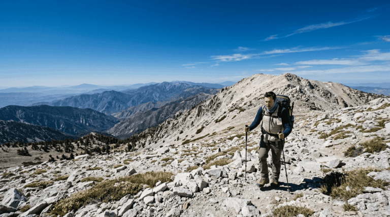
Big Bear and the broader San Bernardino Mountains offer alpine lake trails and ski-resort-adjacent terrain in the county’s mountain core, drawing the bulk of the county’s hiking traffic. Lake Arrowhead and the Rim of the World corridor add dense forest trails a bit further west along the same range, with a quieter, more heavily wooded character than Big Bear’s more open lake basin.
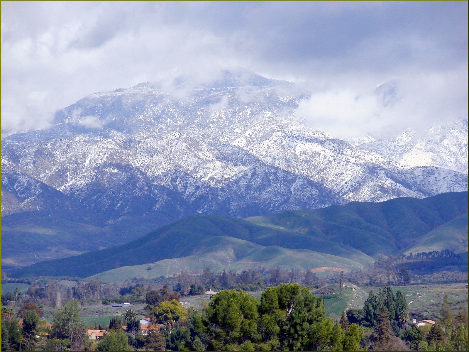
The Mojave Desert zone, including Joshua Tree’s northern reaches and the Mojave National Preserve, dominates the county’s vast eastern desert expanse, genuinely remote terrain that most LA and Inland Empire hikers never explore. That same Mojave expanse continues west into Hiking Trails in Kern County, which holds its own share of high-desert terrain along the range’s northern edge.
The San Bernardino Valley itself, closer to the urban core, holds gentler options like the Crafton Hills and Yucaipa trail systems for a shorter, closer-to-home hike that doesn’t require a full mountain or desert day trip, a genuinely useful option for anyone who wants a real trail without dedicating an entire weekend to it.
Best hiking trails in Big Bear Lake, San Bernardino County
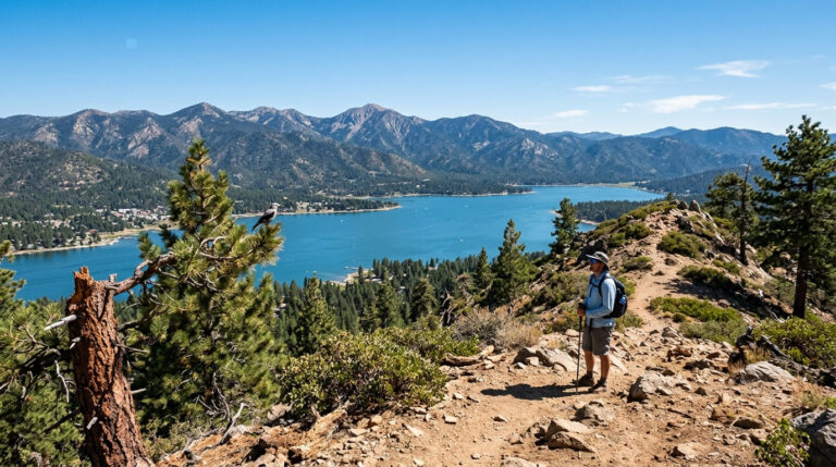
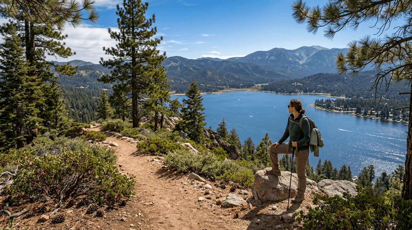
Big Bear Valley sits at roughly 6,752 ft elevation within San Bernardino National Forest, delivering genuine alpine scenery within a two-hour drive of downtown LA, close enough for a day trip, high enough to feel like a real mountain escape.
Cougar Crest Trail to Bertha Peak: Big Bear’s best summit hike
Roughly 7 miles round trip with somewhere between 1,300 and 1,700 ft of gain depending on the exact measurement, climbing to a roughly 8,200-ft summit with panoramic Big Bear Lake views. The trail connects directly to the Pacific Crest Trail partway up, giving hikers a taste of the iconic long-distance route without committing to a multi-day trip.
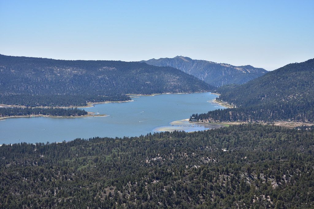
An Adventure Pass is required for parking at the trailhead. Snow is possible November through April, so check current conditions before a shoulder-season attempt.
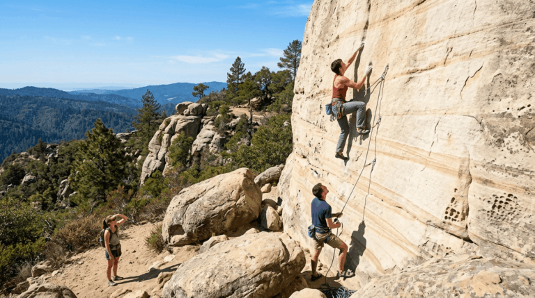
Castle Rock Trail: Big Bear’s best short hike with giant boulders
A 2.1-mile round trip with about 500 ft of gain to massive granite boulder formations with genuine Big Bear Lake views, reached from a trailhead directly on Highway 18. It’s a popular family hike, and free street parking near the trailhead means no Adventure Pass is needed here specifically, a rare exception in this part of the forest, and one worth knowing about if you’d rather skip the pass purchase for a short outing.
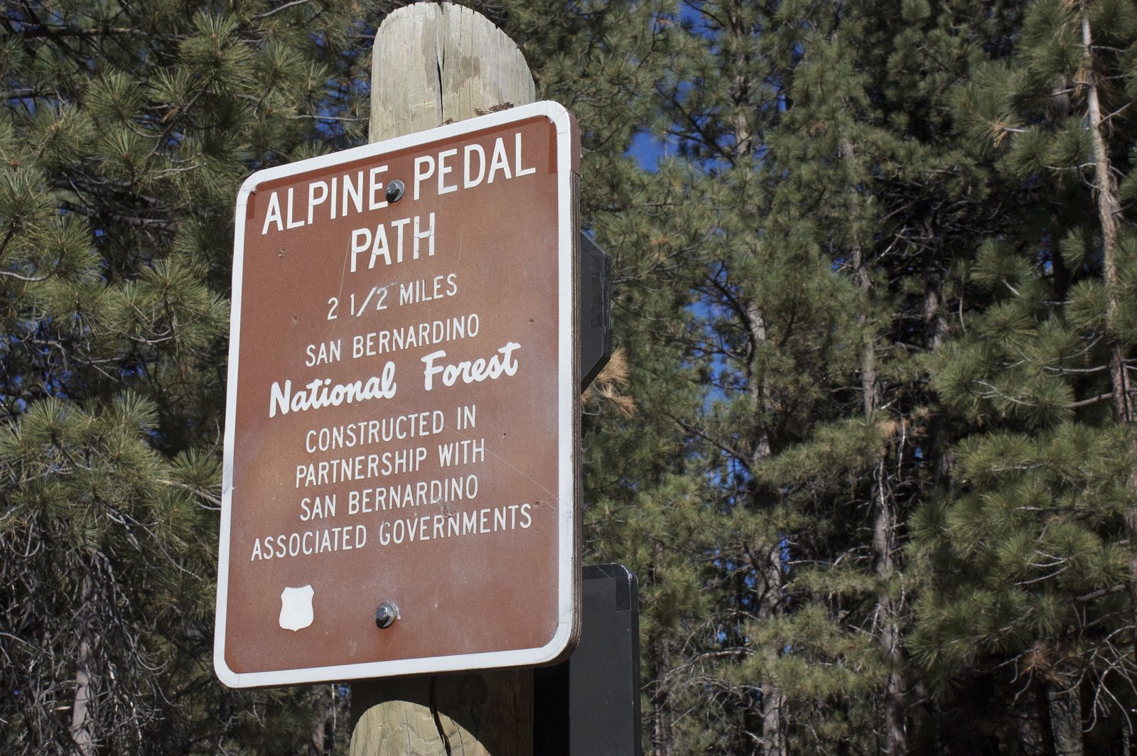
Alpine Pedal Path: Big Bear’s best easy lakeside trail
A 4.5-mile one-way paved trail along Big Bear Lake’s north shore, completely flat and shared between walkers and cyclists, with mountain views the whole way and connections to multiple lakeside parks along its length. It’s free, and summer sunset is widely considered the best time to walk it, when the light hits the surrounding peaks and the lake surface turns genuinely photogenic, a solid option for anyone hiking with young kids, strollers, or a group with mixed fitness levels.
Best hiking trails in Lake Arrowhead, San Bernardino County
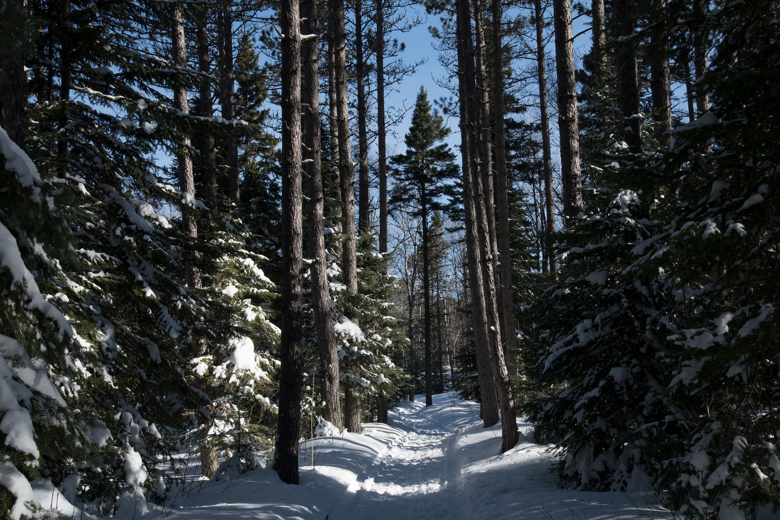
Lake Arrowhead sits at roughly 5,100 ft elevation within the same San Bernardino National Forest system, with the Pacific Crest Trail passing nearby and its own distinct trail character shaped by denser forest cover than Big Bear’s more open terrain, a genuinely different feel just a short drive from its more famous neighbor.
Deep Creek Hot Springs Trail: San Bernardino’s most rewarding backcountry hike
Reached via the Splinters Cabin trailhead (about 6 miles round trip) or the longer Bowen Ranch approach (about 9 miles round trip), this trail leads to genuine natural desert hot springs with direct Pacific Crest Trail access, making it a popular resupply stop for thru-hikers as well as a destination in its own right.

No permit is required, and worth knowing before you go: some of the pools have a long-standing informal clothing-optional custom among regular visitors, not universal, but common enough that it’s better to know in advance than be surprised on arrival (read more in my guide to trail etiquette for details on how to handle shared trail spaces).
Heaps Peak Arboretum and the paved Lake Arrowhead Community Trail round out gentler, more family-friendly options in the same area for anyone who’d rather skip the longer backcountry approach.
Best desert hiking trails in San Bernardino County
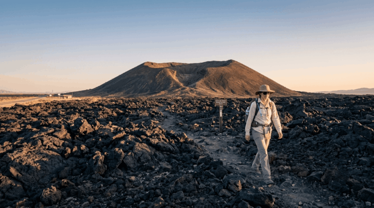
The county’s eastern reaches hold the Mojave National Preserve, a genuinely different landscape from the mountain trails above, hot, arid, and open in a way that demands its own planning, gear checklist, and water margin.
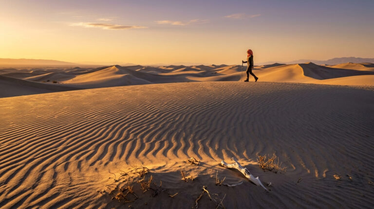
Kelso Dunes Trail: San Bernardino County’s best desert sand dune hike
A 3-mile round trip with about 500 ft of gain across the highest dunes in the Mojave, rising roughly 650–700 ft above the desert floor.
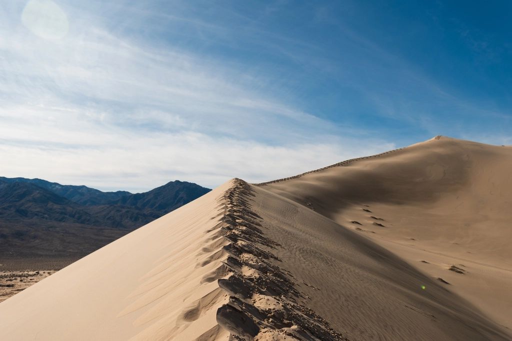
There’s no defined trail; you walk the dune surface itself, which is genuinely more tiring than the mileage alone suggests, and the dunes’ famous “booming sand” phenomenon, a low rumbling sound produced by sliding sand under the right conditions, is one of the more genuinely strange natural experiences in California hiking.
It’s free, requires no permit, and dawn or dusk light is best both for temperature and for photography, since midday desert sun makes the round trip considerably harder.
Mid Hills to Hole-in-the-Wall Trail: Mojave Preserve’s best day hike
An 8-mile one-way route requiring a shuttle or two vehicles, passing through volcanic rock canyon, juniper, and Joshua tree terrain before a distinctive ring-assisted descent at Hole-in-the-Wall itself, where metal rings bolted into the rock help hikers down a short, otherwise difficult scramble.
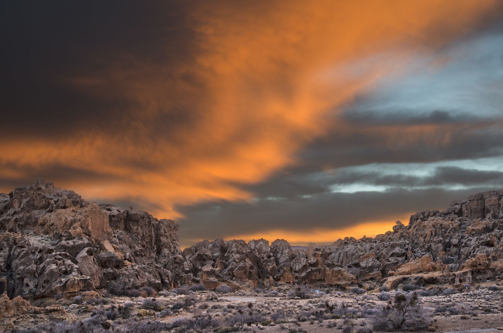
Best hiked March through May or October through November, avoiding both winter cold at elevation and brutal summer desert heat, which can push well past 100°F across much of this terrain.
Big Bear and San Bernardino Mountains hiking permits and fees
Most San Bernardino National Forest trailheads, including Cougar Crest and the Deep Creek approaches, require the Adventure Pass, priced at $5 per day or $30 annually, with the America the Beautiful interagency pass accepted as an equivalent.
This is the same system used across Angeles National Forest and the other Southern California national forests, so one annual pass covers trailheads across multiple counties, which is worth knowing if you regularly hike both LA and San Bernardino County trails in the same season.
State park trails in the area typically charge an $8–$10 day-use fee, while Mojave National Preserve charges no entry fee and requires no trail permits at all, making it one of the most cost-accessible desert destinations in the state despite the drive required to reach it.
San Bernardino County rewards picking your zone deliberately more than almost any other county in this guide, alpine lake trails, dense forest, and open desert all sit within the same jurisdiction but demand completely different gear and planning.
Check current snow status before a mountain trip, carry real water margin for anything in the Mojave zone, and treat the size of this county as an asset rather than an inconvenience; few places let you swap terrain this dramatically without crossing a county line.
Frequently asked questions about hiking trails in San Bernardino County
Are Big Bear hiking trails open right now?
Most are seasonally, but snow closes many higher-elevation trails from November through April. Check San Bernardino National Forest’s current conditions page before planning a winter or early-spring trip, since a trail open one week can close after a fresh storm.
What are the best hiking trails in Big Bear Lake?
Cougar Crest to Bertha Peak for the best summit view, Castle Rock for a short hike with dramatic boulders, and the Alpine Pedal Path for an easy, flat lakeside walk. Between the three, most fitness levels and time budgets are covered.
Do I need an Adventure Pass to hike in San Bernardino National Forest?
For parking at most developed trailheads, yes, $5 per day or $30 annually, with the America the Beautiful pass accepted as an alternative. A few trailheads, like Castle Rock’s roadside parking, don’t require one, so check signage at your specific trailhead if you’re unsure.
What hiking trails are near Lake Arrowhead, California?
Deep Creek Hot Springs is the standout for a genuine backcountry destination, while Heaps Peak Arboretum and the Lake Arrowhead Community Trail offer easier, more accessible options nearby for a shorter outing.
Are there hiking trails in Mojave National Preserve?
Yes, Kelso Dunes and the Mid Hills to Hole-in-the-Wall Trail are the two standout routes, and neither requires an entry fee or trail permit, unusual for a destination this scenic. The preserve borders Joshua Tree National Park to the south, and hikers who enjoy one often make a point of visiting the other.
What is the best time of year to hike in the San Bernardino Mountains?
Late spring through fall, once winter snow has cleared from higher-elevation trailheads like Cougar Crest. Summer is comfortable at Big Bear and Lake Arrowhead’s elevation, unlike the desert zones lower in the county, which run genuinely dangerous through the hottest months.