5 Best Hiking Trails on Mount Tamalpais, From a Historic Railroad Grade to a Wheelchair-Accessible Summit Loop
This guide focuses on the interior and summit hiking trails on Mount Tamalpais, deliberately different from the coastal descent trails (Dipsea, Steep Ravine) covered in our Marin Coastline guide. “Mt Tam,” as locals call it, is Marin County’s highest peak and its most varied: a former railroad grade, a chain of waterfalls, a genuine wheelchair-accessible 360-degree summit view, and a reservoir loop most tourists never hear about.
Disclosure: Please note that some of the links below are affiliate links and at no additional cost to you, I may earn a commission. Know that I only recommend hiking gear I personally stand behind; when you use my affiliate links, it helps me run this blog and keep all of this content free of charge for readers (like you).
Where the coastal trails are defined by fog and ocean, these five are defined by elevation the difference between standing in a cloud at Pantoll and standing above it at East Peak, sometimes on the very same afternoon.
Key takeaways:
- Best history hike: Old Railroad Grade to East Peak, the route of the “Crookedest Railroad in the World,” which operated from 1896 to 1930.
- Best waterfall hike: Cataract Falls Trail, a chain of cascades through old-growth forest, best after winter rain.
- Best alternative to Steep Ravine: Matt Davis Trail, a longer, gentler descent to Stinson Beach through changing terrain.
- Best accessible summit experience: Verna Dunshee Trail, a paved, wheelchair-friendly loop with a genuine 360-degree view.
- Best local-favorite easy loop: Phoenix Lake Trail, a flat reservoir loop in the foothill town of Ross.
- Mount Tam has real microclimates by elevation and side of the mountain; the same day can be foggy at Pantoll and clear at East Peak, or soaked on the western Cataract Falls side while the eastern trails stay dry.
How these five Mount Tam trails compare
| Trail | Round-trip distance | Elevation gain | Difficulty | Best for |
|---|---|---|---|---|
| Old Railroad Grade to East Peak | ~6.5-7 mi (from Mountain Home Inn) | ~1,300-2,000 ft | Moderate | Railroad history, gentle grade |
| Cataract Falls Trail | ~5.6 mi (from Rock Spring) | ~1,341 ft | Moderate-hard | Waterfalls, old-growth forest |
| Matt Davis Trail | ~7.5 mi | ~1,400 ft | Moderate-strenuous | Gentler alternative to Steep Ravine |
| Verna Dunshee Trail | ~0.7 mi | ~50 ft | Very easy, ADA-accessible | Wheelchair-friendly summit views |
| Phoenix Lake Trail | ~2.7 mi | ~230 ft | Easy | Local-favorite reservoir loop |
Old Railroad Grade Trail to East Peak
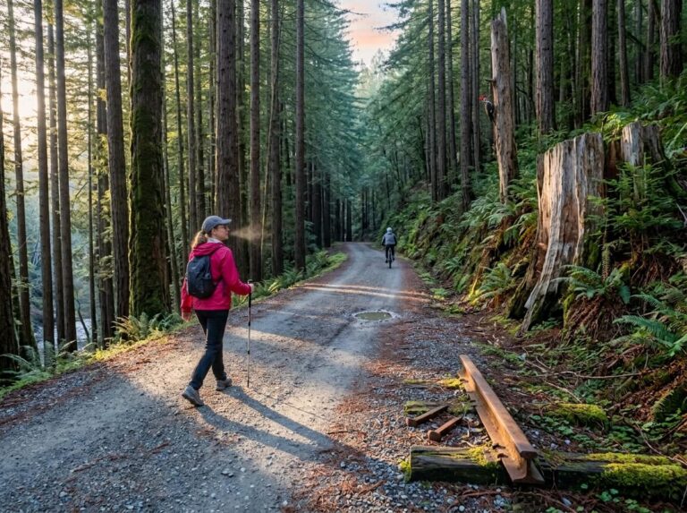
This trail follows the actual route of a working railroad, a rare thing to hike in California, and reason enough on its own to put this at the top of the list.
Trailhead access and parking at Mountain Home Inn or Pantoll Ranger Station
Mountain Home Inn, partway up the mountain on Panoramic Highway, offers the shorter approach with limited roadside parking; Pantoll Ranger Station has a fee-based lot and connects to the grade via a short link trail. Starting from Mill Valley itself (the historic railway’s actual starting point) adds significant extra distance, closer to 13 miles round trip, so most visitors choose one of the higher trailheads instead.
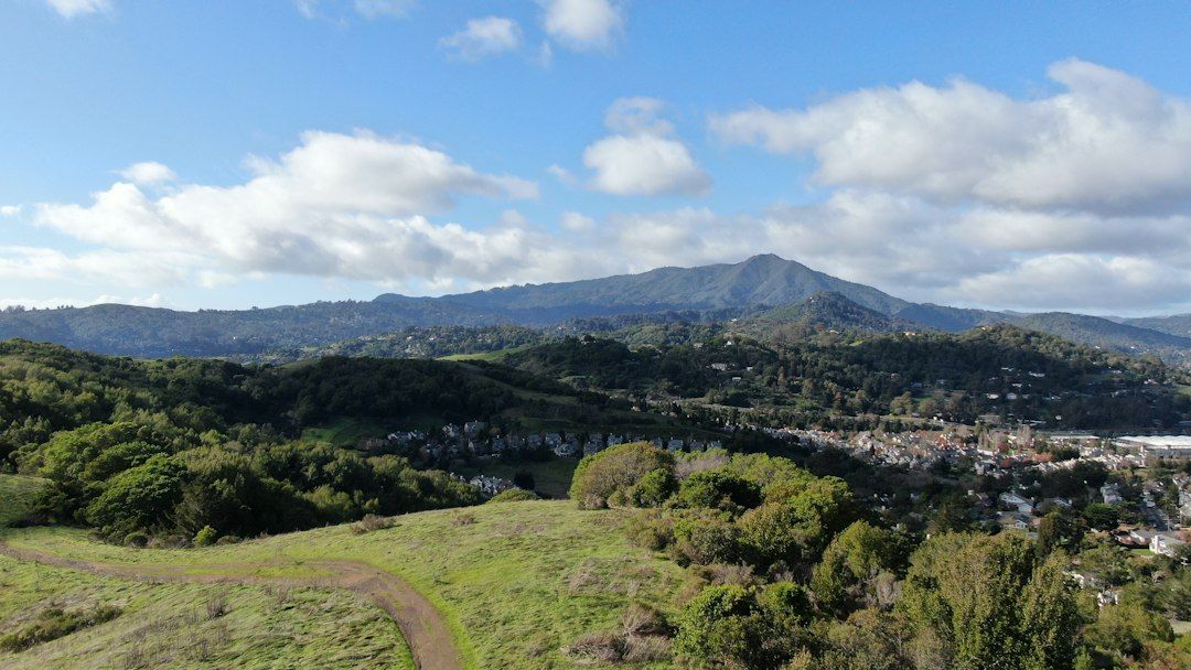
Difficulty, distance and elevation gain on the Old Railroad Grade
From Mountain Home Inn, figure roughly 6.5 to 7 miles round trip with somewhere between 1,300 and 2,000 feet of elevation gain to reach East Peak at 2,571 feet, depending on the exact route and trailhead. The grade itself rarely exceeds an 8% pitch, a long, steady climb rather than a steep one, genuinely easier on the legs than most Mount Tam summit routes.
What you’ll see: the route of the historic “Crookedest Railroad in the World”
From 1896 to 1930, the Mount Tamalpais and Muir Woods Scenic Railway carried passengers up 281 curves over 8.25 miles, once billed as the “crookedest railroad in the world” and a genuine tourist sensation of its era; visitors reportedly included John Muir and Arthur Conan Doyle.
Its signature engineering feat, the Double Bowknot, had the track paralleling itself five times just to gain elevation in a tight stretch of terrain; Friends of Mt Tam’s history archive has period photos and a fuller account of the line’s construction and eventual demise.
The West Point Inn, the only surviving structure from the railway, still sits partway up the grade as a hike-in-only retreat, connecting historically to the same railway era covered in more depth in our Muir Woods and Point Reyes guide.
Best time to hike Old Railroad Grade: a gentle grade in any season
Because the historic engineers graded this route for a train rather than for hikers, it’s one of the more forgiving Mount Tam climbs across most of the year, shaded through much of its length, without the abrupt pitches that make other summit trails weather-dependent.
Cataract Falls Trail
This is the waterfall hike on Mount Tam itself, genuinely different from Alamere Falls’ coastal tidefall, and closer to home for most Bay Area hikers.
Trailhead access and parking at the Rock Spring Trailhead
The free Rock Spring lot sits on the mountain’s wetter western side, along Ridgecrest Boulevard. It’s a popular starting point, so arrive early on weekends.
Difficulty, distance and elevation gain along Cataract Creek
From Rock Spring, plan on roughly 5.6 miles round trip with about 1,341 feet of elevation gain a real correction worth making here, since the standard “3-mile, 800-foot” figure floating around for this trail actually describes the shorter approach from the Alpine Lake side, not the Rock Spring route. Either way, expect rocky, sometimes-wet footing rather than distance to be the main difficulty.
What you’ll see: a series of cascading waterfalls through old-growth forest
Cataract Creek tumbles through seven to a dozen distinct cascades (sources count them differently, depending on how they define a separate drop) as it winds through Douglas fir forest toward Alpine Lake genuinely one of the best waterfall concentrations anywhere in Marin County, with the Laurel Dell picnic area as a good rest stop partway along and a swimmable pool near the Helen Markt Trail junction if the season and your energy allow.
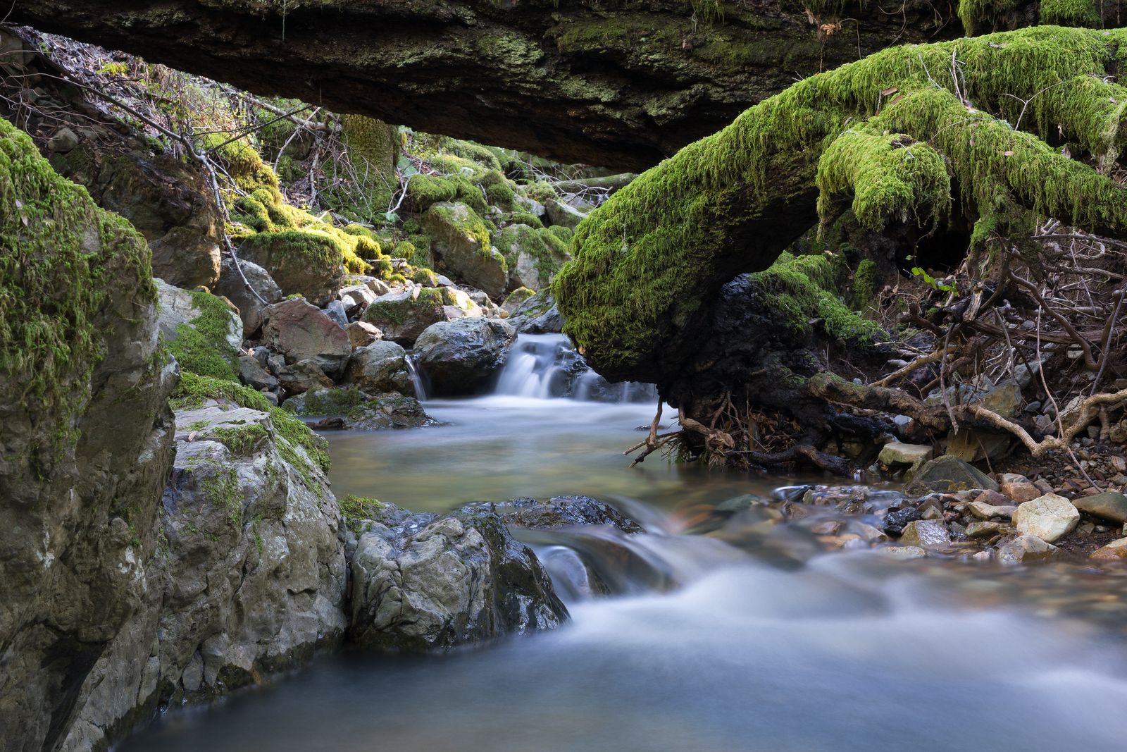
Best time to hike Cataract Falls: peak flow after winter storms
Like every seasonal waterfall in this county, timing is everything. Visit December through March for real flow, and expect a much thinner trickle by late summer in a dry year.
Matt Davis Trail
If Steep Ravine’s ladder-assisted plunge (covered in our Marin Coastline guide) sounds like too much, this is the gentler sibling trail from the same trailhead.
Trailhead access and parking at the Pantoll Ranger Station
Matt Davis Trail shares the Pantoll trailhead area with Steep Ravine, but heads out on a different, more gradual route toward the same general destination at Stinson Beach, a fee-based lot, with free but limited roadside overflow parking nearby.
Difficulty, distance and elevation gain on the Matt Davis Trail to Stinson Beach
Plan on about 7.5 miles round trip with roughly 1,400 feet of elevation change, genuinely longer than Steep Ravine, but via a well-graded, switchbacking descent rather than a ladder and creek scramble. If your knees or a nervous hiking partner ruled out Steep Ravine, this is the trail to take instead.
What you’ll see: switchbacking views from fern forest to open coastal grassland
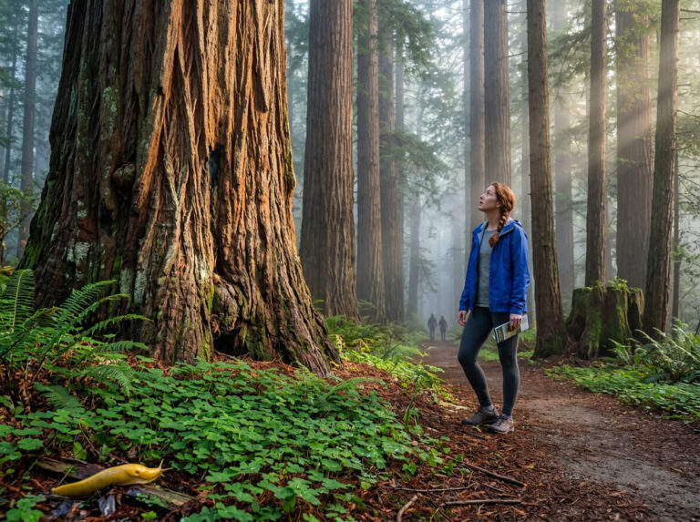
The trail makes a genuine ecological transition, shaded fern-and-redwood forest near Pantoll gradually opens into wildflower-dotted coastal grassland as you approach Stinson Beach, a gentler visual arc than Steep Ravine’s abrupt creek-canyon plunge.
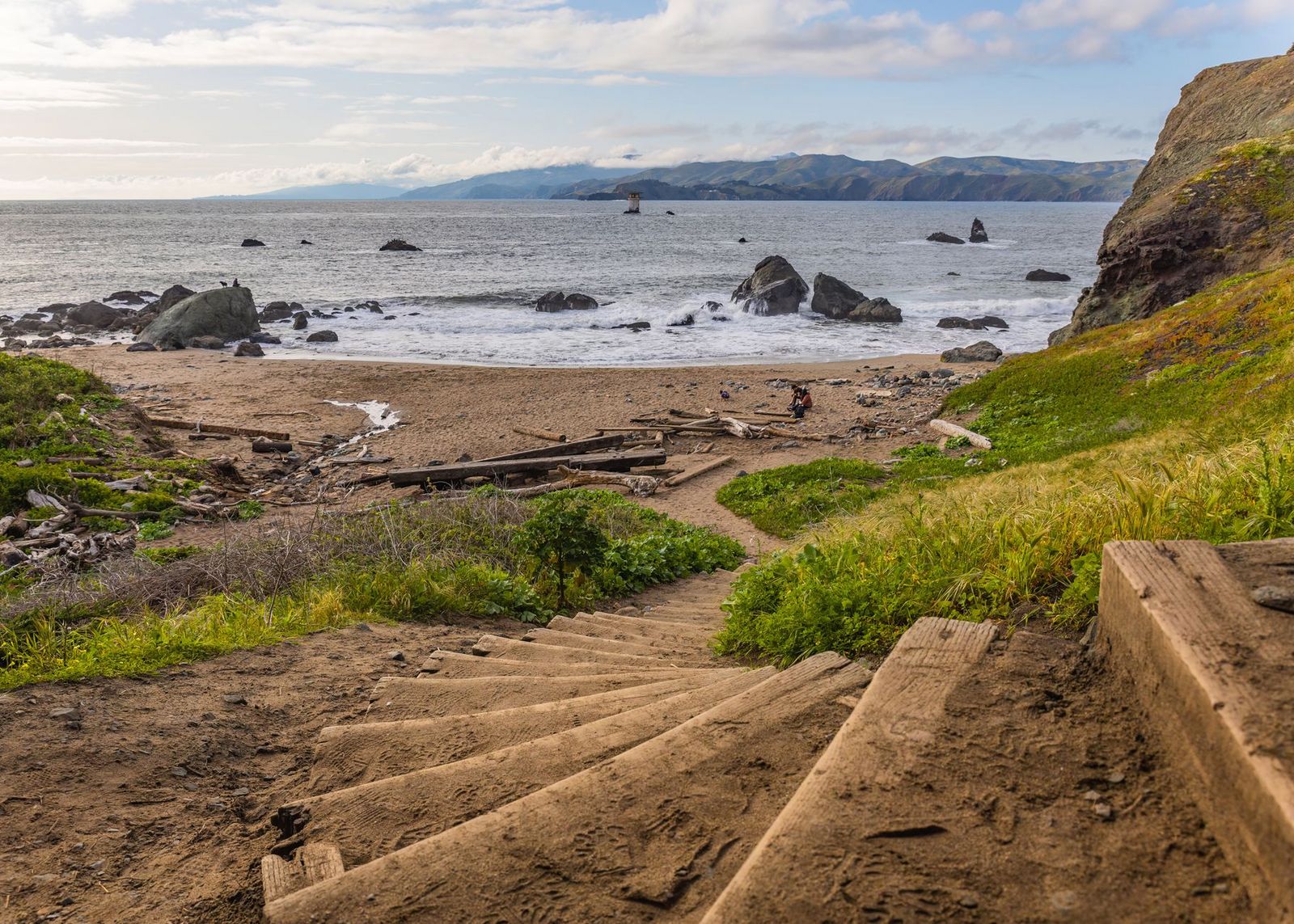
Best time to hike Matt Davis Trail: spring wildflowers on the open slopes
The open grassland stretches near the Stinson Beach end put on a real wildflower show in spring, adding a second reason to hike this trail beyond just the views.
Verna Dunshee Trail
This closes out the summit experience on Mount Tam, and it’s the one trail on this entire list that opens the mountain’s best view to visitors who can’t tackle a long climb.
Trailhead access and parking at the East Peak summit parking lot
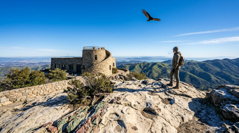
A fee-based lot at the East Peak Visitor Center is the highest-elevation, most drive-up-accessible trailhead in this guide. You can drive most of the way up Mount Tamalpais and start hiking essentially at the summit.
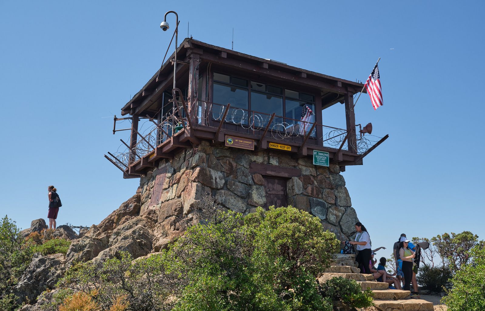
Difficulty, distance and elevation gain on the Verna Dunshee Loop
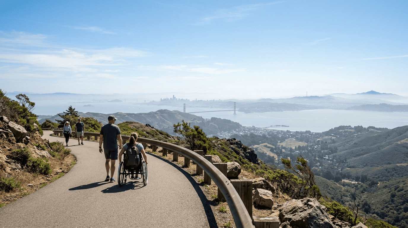
This is a 0.7-mile paved loop with under 100 feet of elevation change, the easiest and only fully paved trail in this guide, and genuinely wheelchair and stroller accessible for its entire length. Our guide to ADA-accessible hiking trails in California covers more trails built for this kind of access.
What you’ll see: a paved, wheelchair-accessible 360-degree summit view
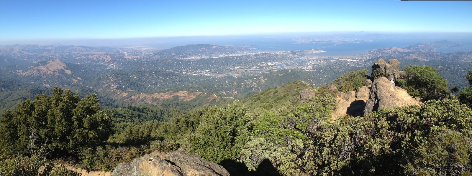
From 2,571 feet, on a clear day you can typically see 25 to 50 miles in multiple directions: San Francisco, the Golden Gate Bridge, Mount Diablo, Point Reyes, and on rare, exceptionally clear days, distant Sierra Nevada peaks over 100 miles away. It’s named for Verna Dunshee, a Marin conservationist who helped preserve the county’s open space.
Best time to hike Verna Dunshee Trail: clear days for the farthest views
Because the whole point of this trail is the view, fog matters more here than almost anywhere else on this list. Check conditions before you drive up, since Mount Tam sits above the fog line on some days and squarely inside it on others.
Phoenix Lake Trail
This closes the list on Marin’s quieter, more local note, the trail Ross residents actually use, not the one tourists drive up for.
Trailhead access and parking at Natalie Coffin Greene Park, Ross
Free parking is available at Natalie Coffin Greene Park at the end of Lagunitas Road in Ross, the lowest-elevation, most residential-adjacent trailhead in this entire guide. It fills by mid-morning on nice weekends.
Difficulty, distance and elevation gain around Phoenix Lake
The loop runs about 2.7 miles with roughly 230 feet of elevation gain on a wide fire road, the easiest, flattest trail in this guide, genuinely popular with local trail runners rather than summit-seekers.
What you’ll see: a reservoir loop popular with local trail runners
Phoenix Lake is a Marin Water reservoir built in 1905, one of five that sit within the Mount Tamalpais watershed ringed by oak, bay laurel, and scattered redwood, with a dramatic seasonal spillway waterfall during wet months. It’s also one of the better family options in this county; see our family-friendly Marin trails guide for more like it.
Best time to hike Phoenix Lake: a shaded, cooler foothill option
Lower elevation and consistent tree cover make this a reliable choice even on days when the exposed summit trails above feel too hot or too foggy to bother with.
The bottom line
Start with Old Railroad Grade if the mountain’s railway history appeals to you, or Verna Dunshee if you want the summit view without the climb; it’s the one trail here that’s genuinely accessible to everyone, kids, wheelchairs, and casual visitors alike.
Cataract Falls and Matt Davis both reward a rainy-season trip far more than a dry-summer one, while Phoenix Lake stays pleasant nearly year-round thanks to its lower elevation and shade. This guide is part of our full Marin County hiking guide.
Frequently asked questions about hiking trails on Mount Tamalpais, Marin County
How tall is Mount Tamalpais?
East Peak, the highest point on the mountain, sits at 2,571 feet, modest by California standards, but tall enough to rise above the summer fog line and deliver genuine 360-degree views.
Is the Verna Dunshee Trail wheelchair accessible?
Yes, it’s a fully paved, 0.7-mile loop around East Peak, one of the few genuinely wheelchair- and stroller-accessible summit experiences in California.
Is there always water at Cataract Falls?
No. Flow peaks December through March after winter storms and can thin to a trickle by late summer in a dry year, the same seasonal pattern as most Marin waterfalls.
How hard is the Matt Davis Trail?
It’s a genuinely moderate-to-strenuous 7.5-mile round trip with about 1,400 feet of elevation change, longer than Steep Ravine, but via a gentler, well-graded descent rather than a ladder-assisted scramble.
Do you need a permit to hike Mount Tamalpais?
No permit is required for any of these five trails, though several trailheads (Pantoll, East Peak) charge a day-use parking fee, which isn’t the same thing as a permit.
What was the “Crookedest Railroad in the World”?
It was the Mount Tamalpais and Muir Woods Scenic Railway, which operated from 1896 to 1930, carrying tourists up 281 curves over 8.25 miles to the East Peak summit, a major tourist attraction of its era before automobiles made it obsolete.