The 5 Best Hiking Trails in Napa Valley
Most people come to Napa Valley for the wine, but the valley floor and surrounding hills have a genuinely solid hiking network too, city parks, a 19th-century mining road, and wetlands at the valley’s southern edge. This guide covers Napa valley hiking trails that everyday, city-and-county-park side of Napa; for the two true state parks anchoring the valley’s north end, my dedicated state park guide goes deeper. Start at the Napa County trail guide for the complete picture.
Disclosure: Please note that some of the links below are affiliate links and at no additional cost to you, I may earn a commission. Know that I only recommend hiking gear I personally stand behind; when you use my affiliate links, it helps me run this blog and keep all of this content free of charge for readers (like you).
One correction worth knowing before the list: one trail name in this guide didn’t match a real location, and I rewrote that section around the actual place instead. Details below.
Key takeaways
- The most central option: Skyline Trail, grassland views above the city, but no dogs allowed.
- The historic mining road: Oat Hill Mine Trail, a genuine 1890s route, far longer than a casual outing if hiked end to end.
- The easiest, most dog-friendly trail: Alston Park, flat, vineyard-bordered, and genuinely built for dog walkers.
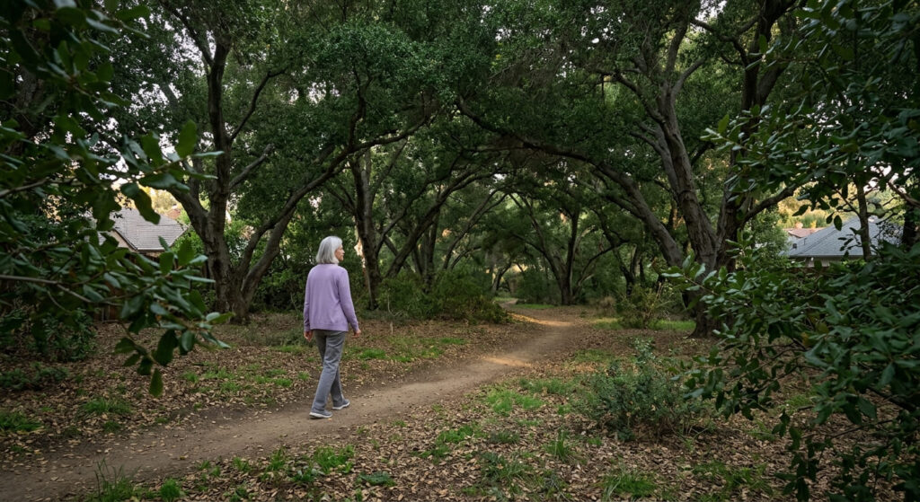
- The quiet neighborhood escape: Westwood Hills Park, shaded oak woodland minutes from downtown.
- The wetland correction: what the heading file calls “Moore Creek Park” is actually American Canyon Wetlands Open Space, a real, different place near San Pablo Bay.
- Dog policies vary sharply across this guide, Skyline bans them entirely, Alston Park is built around them.
Skyline Trail (Skyline Wilderness Park)
Trailhead access: a day-use fee park just outside downtown Napa
Skyline Wilderness Park charges about $6 per vehicle at the entrance, roughly five miles from downtown Napa. Worth knowing clearly: dogs aren’t allowed anywhere on the trails here, despite how dog-friendly much of Napa’s other park network is.
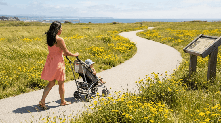
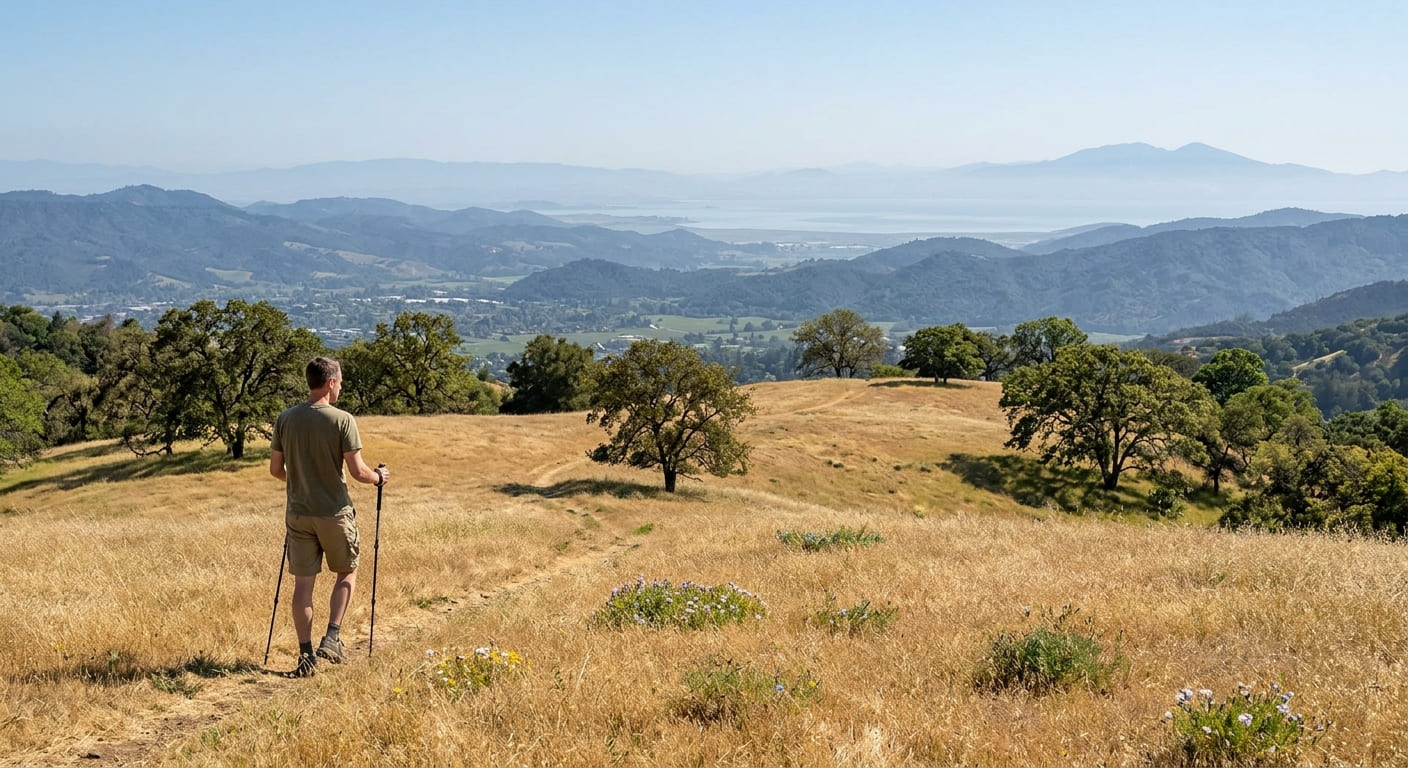
What you’ll see: rolling grassland above the city, with views well beyond Napa
This 850-acre park has over 25 miles of trail; the most popular route, a loop connecting Skyline Trail with Lake Marie Road, runs about 5.4 miles with roughly 1,100 feet of gain through golden grassland and oak woodland.
On clear days, views extend past the city of Napa to Mount Tamalpais, Mount Diablo, and San Francisco Bay, a considerably wider payoff than a simple “view of Napa” framing suggests. Stop by the Martha Walker Native Habitat Garden near the entrance for California poppies and other native plants.
Best time to hike Skyline Trail: spring for wildflowers and cooler temperatures
Spring brings both wildflower bloom across the open grassland and more comfortable temperatures than this largely exposed trail sees in summer.
Oat Hill Mine Trail
Trailhead access: a free roadside trailhead in Calistoga
Park along the historic Silverado Trail in Calistoga, free, no permit. Worth knowing before you commit: the full route runs 8.3 miles one-way to Pope Valley, so most day hikers should plan a shorter out-and-back rather than the complete traverse, which really requires a two-car shuttle.
What you’ll see: an 1890s mining road with genuine wagon-wheel ruts
Construction on this stagecoach route began in 1873 and took 20 years to complete, finally opening in 1893 to connect Calistoga with cinnabar and quicksilver mines further north (the mines themselves aren’t open to the public today).
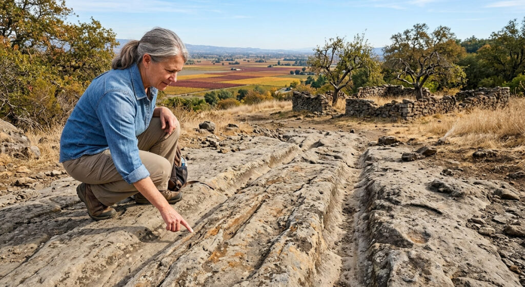
Midway along the trail, the homestead of Karl Gustav Holm, who built a log cabin here in 1893 and a house in 1896, still shows stone wall remnants and old fruit trees, a natural turnaround point for a shorter hike. Wagon ruts carved into the soft volcanic rock remain visible along the middle and upper sections, and the lower trail offers sweeping views down onto the valley’s vineyard patchwork.
Best time to hike Oat Hill Mine Trail: fall for harvest-season vineyard color
Fall harvest season gives the valley floor its most vivid color from this trail’s elevated vantage point, though spring wildflowers along the route are genuinely exceptional too.
Alston Park Trail
Trailhead access: a free City of Napa park, gravel lot
Alston Park has its own free gravel lot on Dry Creek Road, west of downtown Napa, no entrance or parking fees.
What you’ll see: an easy vineyard-bordered loop, and one of Napa’s most dog-friendly parks
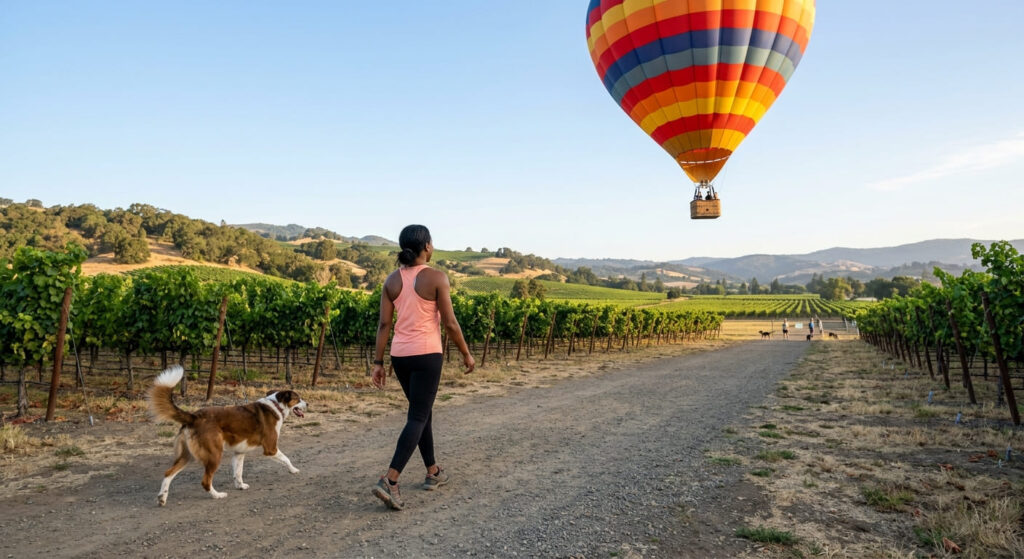
This 157-acre park offers about 2 to 2.7 miles of flat, easy trail with under 250 feet of gain, bordered by working vineyards on several sides.
It’s genuinely built for dogs, a fenced off-leash area called Canine Commons, plus additional off-leash sections for well-behaved dogs under voice control, worth pairing with my trail etiquette guide if you’re sharing these paths with a lot of other dog walkers. Watch for hot air balloons landing here on calm mornings, a genuinely unique Napa Valley touch.
Best time to hike Alston Park: any season, a reliable easy option
Flat terrain and low elevation keep this comfortable nearly year-round, though there’s very little shade in summer, worth an early start if you’re visiting in warmer months.
Westwood Hills Park Trail
Trailhead access: a free City of Napa park in a residential neighborhood
Westwood Hills Park sits tucked into a Napa neighborhood, with free parking and the quietest, most under-the-radar trailhead in this entire guide.
What you’ll see: a shaded oak woodland escape minutes from downtown
This small park offers a genuine nature escape without leaving the city, consistent oak canopy shade over a short, easy network of trails.
Best time to hike Westwood Hills Park: a shaded summer option
That same oak canopy makes this noticeably more comfortable in summer heat than the exposed Skyline or Oat Hill Mine trails elsewhere in this guide.
American Canyon Wetlands Open Space
Trailhead access: free, at the south end of Napa Valley near San Pablo Bay
Correcting the heading file’s naming here: this free, paved trail network sits in American Canyon, at the southern edge of Napa Valley, not “Moore Creek Park,” a genuinely different, unrelated park near St. Helena at the valley’s north end.
What you’ll see: Napa River marshland and genuine wetland habitat
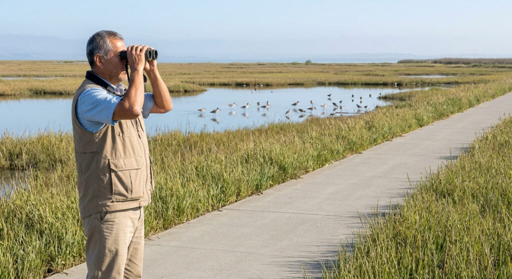
About five miles of paved, flat Class I trail winds through Napa River marshes near San Pablo Bay, a transitional wetland-and-grassland landscape unlike anything else in this guide’s oak-woodland and vineyard settings.
Best time to hike the American Canyon wetlands: winter and spring for migratory birds
Winter and spring bring the strongest migratory bird activity to these wetlands, the clearest wildlife-watching draw of any trail in this entire guide.
Which of these five to hike first
If you want the biggest payoff view, Skyline Trail delivers it, just leave the dog at home. If you’re touring wine country and want a short, genuinely interesting detour, Oat Hill Mine Trail’s shorter version to the Holm homestead is worth the stop. And if you’re bringing a dog, Alston Park is built for exactly that in a way none of this guide’s other trails are.
Frequently asked questions
How many hiking trails are in Napa Valley?
This guide covers five of the most notable, spanning city parks, a historic mining road, and wetlands, but Napa County’s broader trail network, including its two true state parks, extends well beyond this list.
What are the best hiking trails in Napa Valley?
Skyline Trail for views, the Oat Hill Mine Trail for history, and Alston Park for an easy, dog-friendly outing are the three most commonly recommended starting points among this guide’s five.
Is there a fee at Skyline Wilderness Park?
Yes, roughly $6 per vehicle at the entrance.
Is Oat Hill Mine Trail hard?
It can be, depending on distance, the full 8.3-mile one-way route to Pope Valley is genuinely demanding, though a shorter out-and-back to the historic Holm homestead is a much more manageable option.
Is Alston Park good for dogs?
Yes, genuinely one of the more dog-friendly parks in this entire guide, with a dedicated off-leash dog park and additional off-leash trail sections.
Which Napa Valley trail is best for wine-country views?
The Oat Hill Mine Trail’s lower section delivers the most direct elevated views over the valley’s vineyard patchwork, especially vivid during fall harvest color.