5 Best Hiking Trails in Nevada City, From a National Accessibility Landmark to One of California’s Richest Gold Mines
The best hiking trails in Nevada City pack a nationally significant accessible-trail landmark, one of California’s richest historic gold mines, and Gold Rush-era creek trails that run straight into a well-preserved 19th-century downtown, all within a few miles of each other. This is a genuinely different set of trails than our Tahoe National Forest guide elsewhere in Nevada County, and part of our full Nevada County hiking guide. this guide’s most historically significant trail has been substantially closed since 2020.
Disclosure: Please note that some of the links below are affiliate links and at no additional cost to you, I may earn a commission. Know that I only recommend hiking gear I personally stand behind; when you use my affiliate links, it helps me run this blog and keep all of this content free of charge for readers (like you).
Key takeaways:
- Most historically significant, with a real access update: Independence Trail: the first identified wheelchair-accessible wilderness trail in the U.S., substantially damaged by the 2020 Jones Fire and still only partially open.
- Best spring wildflowers: Buttermilk Bend Trail: a gentle river-canyon walk with over 100 wildflower species in bloom by late spring.
- Richest gold-mining history: Empire Mine State Historic Park: one of California’s richest hardrock gold mines, producing 5.8 million ounces over more than a century.
- Best local favorite: Hirschman Trail: a forested loop past a historic mining pond, a short walk from downtown.
- Best pairing with a downtown visit: Tribute Trail: a Deer Creek path that commemorates the Chinese and Nisenan history along its route before leading straight into Nevada City’s historic district.
- Gold Rush history runs through every trail in this guide.
How these five Nevada City trails compare
| Trail | Distance | Difficulty | Fee/Permit | Current status |
|---|---|---|---|---|
| Independence Trail | Historically ~4.5 mi combined | Easy (where open) | Free | Partially closed since 2020 Jones Fire |
| Buttermilk Bend Trail | ~2.4-2.5 mi round trip | Easy | State park fee ($5-10) | Open |
| Empire Mine State Historic Park | Trail network varies | Easy-moderate | Day-use fee | Open |
| Hirschman Trail | Local loop | Easy | Free | Open |
| Tribute Trail | Short in-town walk | Easy | Free | Open |
Independence Trail (South Yuba River): a real access update
I want to lead with this rather than bury it: Independence Trail has been substantially closed since 2020, and it isn’t the simple, any-season accessible trail it’s often described as right now.
Trailhead access and parking along Highway 49, near Nevada City
A free trailhead sits along Highway 49, built along the route of the historic Excelsior Ditch, a 19th-century mining water flume. A parking fee applies at the broader South Yuba River State Park.
What you’ll see: the first wheelchair-accessible wilderness trail in the United States (and its current, significantly damaged state)
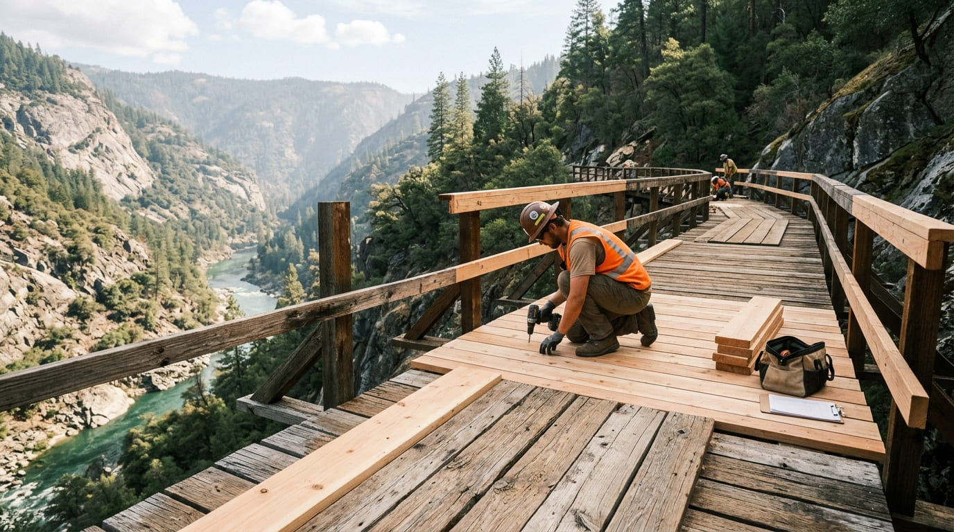
Independence Trail is genuinely a landmark: conservationist John Olmsted discovered the abandoned Excelsior Ditch in 1969 and, through his nonprofit Sequoya Challenge, spent the 1970s transforming it into the first identified wheelchair-accessible wilderness trail in the country, featuring restored wooden flumes carrying the path across deep gorges above the South Yuba River canyon.
It became genuinely famous, topping the Sacramento Bee’s favorite trails list in 2013. But storm damage in 2017 and, more seriously, the 2020 Jones Fire (which destroyed wooden walkways, flumes, an overlook platform, benches, handrails, and a ramp on the west trail) left much of the trail closed.
While rebuilding efforts continue under California State Parks following its land transfer into South Yuba River State Park, the trail remains partially closed; check current California State Parks status directly before planning a visit, especially if wheelchair access is the specific reason you’re going. Our guide to ADA-accessible hiking trails in California covers other options built for this kind of access while this one recovers.
Best time to hike Independence Trail: check current rebuild status before you go
Historically, this trail’s flat, converted-flume grade made it comfortable nearly year-round for a wide range of mobility levels. Right now, “best time to hike” genuinely depends more on rebuilding progress than the calendar. Be sure to confirm what’s actually open before you make the drive.
Buttermilk Bend Trail (South Yuba River State Park)
Trailhead access and parking at South Yuba River State Park
A day-use fee applies here: $10 per vehicle from Memorial Day through Labor Day, $5 the rest of the year. The trailhead sits a short drive from Independence Trail, but follows the river itself at a lower, closer vantage.
What you’ll see: spring wildflowers along a scenic river gorge
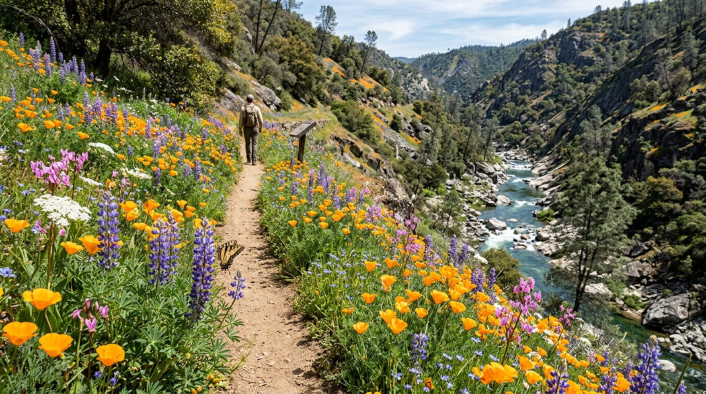
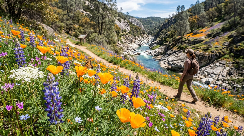
This gentle, roughly 2.4-to-2.5-mile round trip follows the historic 1877 Caleb Cooley water ditch along the river canyon, with over 100 documented wildflower species (poppies, lupine, and lace pod among them) putting on a real show each spring. Docent-led wildflower walks run most weekends from mid-March through mid-May.
Best time to hike Buttermilk Bend: spring for peak wildflower bloom
Bloom timing depends on that year’s rainfall and snowmelt, but generally runs early March through mid-May. Check with the park’s visitor center for current bloom status and guided walk schedules before a trip timed specifically around wildflowers.
Empire Mine State Historic Park Trail (Grass Valley)
Trailhead access and parking at Empire Mine State Historic Park (day-use fee)
A day-use fee applies at this state historic park in nearby Grass Valley, preserving what was once the richest hardrock gold mine in California.
What you’ll see: one of California’s richest historic gold mines
Between 1850 and its 1956 closure, Empire Mine produced 5.8 million ounces of gold from 367 miles of underground passages, a scale of production that puts it among the richest and longest-operating gold mines in state history.
Best time to hike Empire Mine: any season (check building tour hours separately)
The grounds and trails are accessible across most of the year, but the historic mine buildings and yard tours run on their own separate schedule. Check current hours if the guided tour experience matters to your visit, since it’s not the same as general trail access.
Hirschman Trail (Nevada City)
Trailhead access and parking near downtown Nevada City
A free, well-loved local trailhead sits a short walk from downtown Nevada City, making it genuinely popular with residents for daily exercise rather than just visitors passing through.
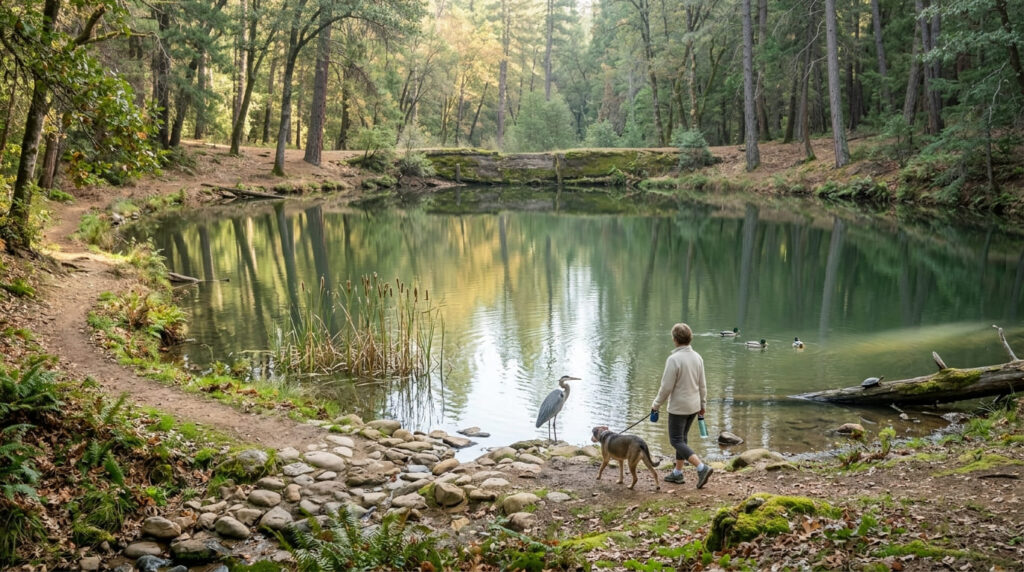
What you’ll see: a forested loop past a historic mining pond
Hirschman Pond, a former mining-era water storage pond, now sits surrounded by forest along this loop, offering a genuine local-history-plus-nature combination close to town. The pond also connects to the broader Empire Mine trail network for hikers who want to link the two.
Best time to hike Hirschman Trail: a reliable any-season, any-day local loop
Consistent forest cover and its convenient in-town location make this comfortable across most of the year, rendering it genuinely one of the more dependable, no-planning-required options in this guide.
Tribute Trail (Deer Creek, Nevada City)
Trailhead access and parking along Deer Creek, Nevada City
A free in-town trailhead follows Deer Creek through the heart of Nevada City, connecting directly to the town’s historic downtown district.
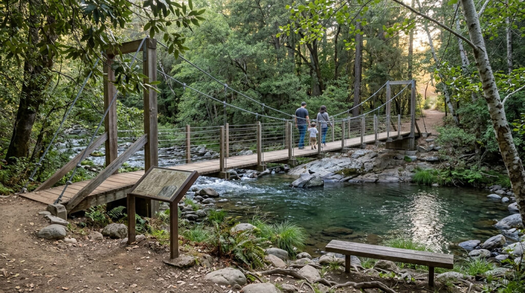
What you’ll see: a creekside path connecting directly to Nevada City’s historic downtown
This shaded path includes a suspension bridge crossing and interpretive markers commemorating the Chinese immigrant laborers and Nisenan people whose history is tied to this stretch of Deer Creek, before flowing directly into Nevada City’s well-preserved Gold Rush-era downtown. This makes it the most walkable-to-town trail in this entire guide.
Best time to hike Tribute Trail: a reliable pairing with a downtown Nevada City visit
This works best as a pairing rather than a standalone destination; walk it on your way into or out of a downtown Nevada City visit rather than treating it as a separate trip.
Frequently asked questions about hiking trails in Nevada City, Nevada County
Is Independence Trail wheelchair accessible?
Historically, yes: it was the first identified wheelchair-accessible wilderness trail in the U.S. Currently, it’s partially closed following 2017 storm damage and the 2020 Jones Fire, with rebuilding still in progress; confirm current accessible sections directly with California State Parks before a visit.
Is there a fee at South Yuba River State Park?
Yes: a day-use parking fee applies, $10 per vehicle from Memorial Day through Labor Day and $5 the rest of the year.
How much gold came from Empire Mine?
About 5.8 million ounces between 1850 and its 1956 closure, extracted from 367 miles of underground passages.
Is Hirschman Trail near downtown Nevada City?
Yes: it’s a short walk from downtown, genuinely popular with local residents for regular exercise rather than just visiting hikers.
Does Tribute Trail lead to downtown Nevada City?
Yes: it follows Deer Creek directly into Nevada City’s historic downtown district, making it easy to pair with a visit to the town itself.
Which Nevada City trail is best for history lovers?
Empire Mine State Historic Park offers the deepest single mining-history experience, while Tribute Trail and Independence Trail each add their own layer of Gold Rush-era and civil-rights-era history along the way.