Best Hiking Trails in Butte County, California
Butte County holds one of the largest municipal parks in the country with wild terrain running straight through the middle of a city, a waterfall dramatic enough to earn comparisons to Yosemite, and a volcanic mesa that turns into a wildflower spectacle for about three weeks each spring. It’s a county that surprises people precisely because Chico and Oroville don’t advertise themselves as hiking destinations the way bigger-name California towns do, most visitors discover Bidwell Park or Feather Falls by accident rather than by seeking them out. Exploring the premier Hiking Trails in Butte County reveals a hidden gem of California wilderness that rivals the state’s most famous natural landmarks.
Disclosure: Please note that some of the links below are affiliate links and at no additional cost to you, I may earn a commission. Know that I only recommend hiking gear I personally stand behind; when you use my affiliate links, it helps me run this blog and keep all of this content free of charge for readers (like you).
Key takeaways
- Butte County has three hiking zones: Bidwell Park in Chico, the Feather River Canyon around Feather Falls and Lake Oroville, and Table Mountain above Oroville.
- Feather Falls is often cited at 640 ft, but that figure is an error, the falls were formally surveyed at 410 ft, confirmed against USGS quadrangle data, still making it one of the tallest year-round waterfalls in the country.
- Bidwell Park runs nearly 11 miles end to end and is free to hike, with Upper Park’s wild canyon trails a world apart from Lower Park’s paved family paths.
- North Table Mountain’s wildflower window is short, typically mid-March through mid-April, and a 2026 CDFW Lands Pass ($5.97 daily or $33.48 annually) is required for visitors 16 and older.
- The Feather Falls trail corridor changed after the 2020 North Complex Fire, a once-shaded forest walk is now considerably more exposed, so pack accordingly.
Related
Why Butte County surprises hikers with its trail depth
Chico and Oroville don’t have the name recognition of California’s bigger hiking counties, which is exactly why so many visitors are caught off guard by what’s actually here, a municipal park with backcountry character, a top-tier waterfall, and a wildflower mesa with a small but devoted following.
Butte County’s three hiking zones
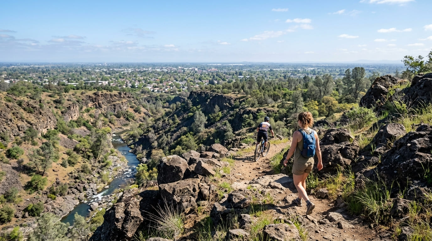
Bidwell Park and Chico hold Big Chico Creek canyon, with Upper Park’s wild, rocky trails and Lower Park’s flat, paved paths forming two very different experiences inside one park that most visitors treat as two separate destinations.
The Feather River Canyon covers Feather Falls, Lake Oroville’s shoreline trails, and the Oroville Wildlife Area, a landscape shaped as much by the Feather River’s power infrastructure as by its natural terrain. That same valley-to-foothill terrain continues north into the hiking trails in Tehama County.
Table Mountain and the Paradise area round things out with the seasonal wildflower mesa above Oroville and the Butte Creek Canyon, along with the ongoing recovery of trails around Paradise Ridge following the devastating 2018 Camp Fire.
Best hiking trails in Bidwell Park, Chico, Butte County
At 3,670 acres and stretching nearly 11 miles end to end, Bidwell Park is regularly cited as one of the largest municipal parks in the United States with undeveloped, natural terrain, not just manicured lawns and paths.
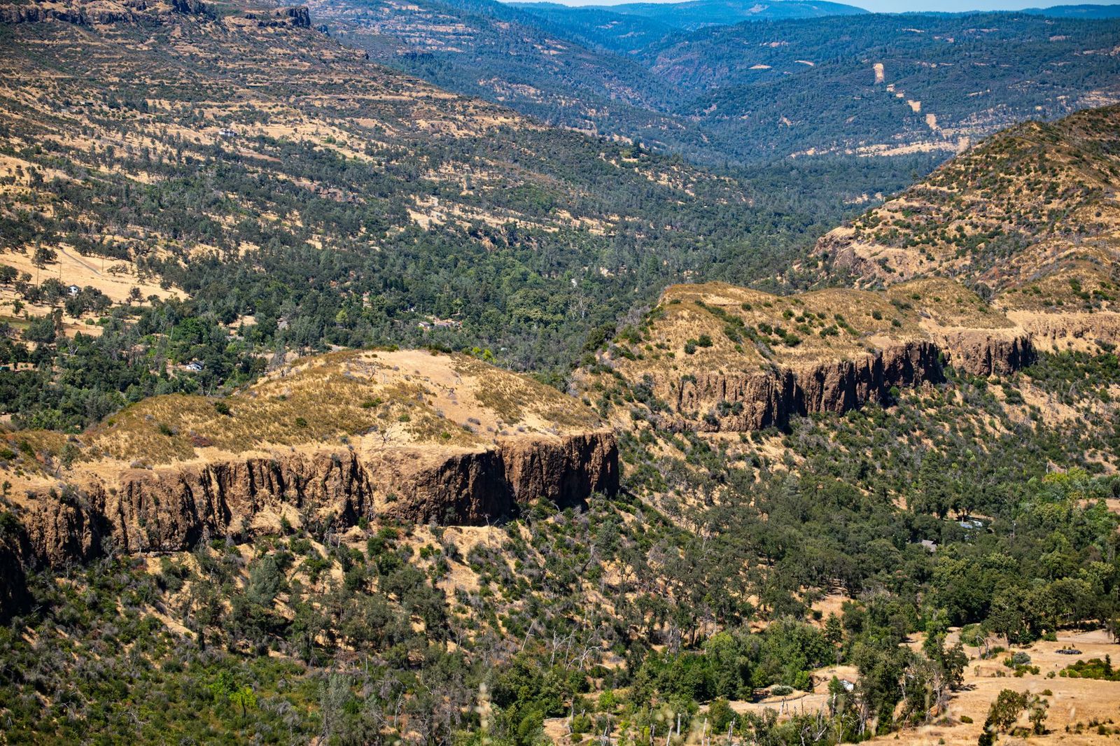
It’s free to hike, with no reservation required, and its canyon setting has stood in for on-screen wilderness since Warner Bros. filmed 1938’s The Adventures of Robin Hood here.
Upper Bidwell Park trails: Chico’s best wild canyon hiking
Past Horseshoe Lake, the paved road turns to dirt and the park’s character changes completely: rocky, volcanic outcroppings, creek crossings, and elevation change along trails like the 6-mile Hulsman Trail and the Five Mile Recreation Area network.
Mountain bikers share these trails regularly, so stay aware on faster sections. March through June is the best window, before summer heat turns the exposed rocky stretches uncomfortable.
Bidwell Park creek swimming holes: hiking to Chico’s best summer spots
Bear Hole and Salmon Hole, both reached via Upper Park Road or a connecting trail, are Big Chico Creek’s classic cold-water swimming holes and a defining piece of Chico summer culture.
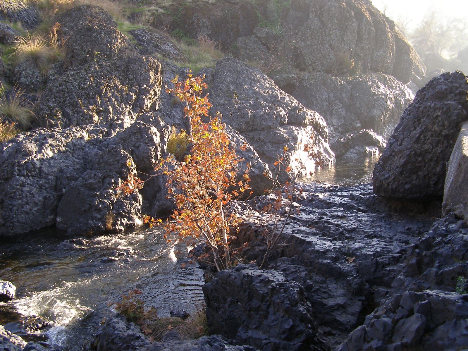
They get extremely popular in July and August; alcohol isn’t permitted, and dogs aren’t allowed in the water areas even though they’re welcome elsewhere in the park.
Sycamore Pool, a dammed section of the creek in Lower Park, offers an easier, parking-lot-adjacent alternative if the hike to Bear Hole or Salmon Hole is more than you want that day.
Best hiking trails to Feather Falls, Butte County
Feather Falls, on the Fall River in Plumas National Forest, is Butte County’s marquee natural landmark, though its most commonly cited stat turns out to be wrong. The falls themselves sit right near the edge of Plumas County, where the same Feather River canyon continues upstream.
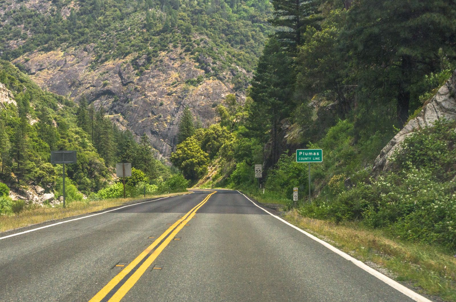
Feather Falls Trail: Butte County’s most spectacular waterfall hike
You’ll often see Feather Falls described as 640 ft tall, but that figure is a long-repeated error; the falls were formally measured at 410 ft, matching USGS quadrangle survey data, which still makes it one of the tallest year-round waterfalls in the United States and a rival to far more famous cascades.
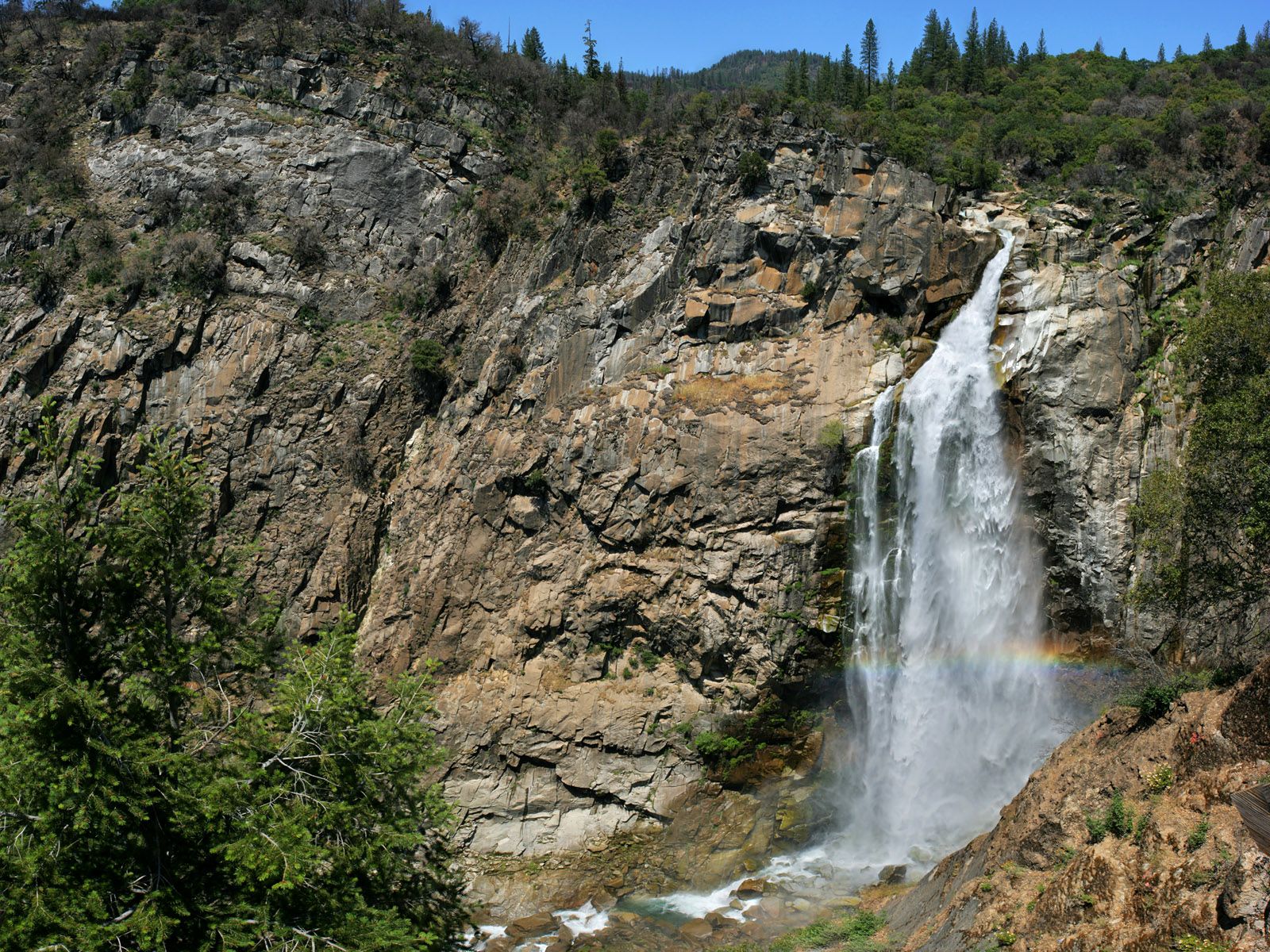
The trail runs as a loop of roughly 8 to 9 miles, combining a 4.5-mile upper section with a 3.5-mile lower one, with about 1,700 ft of cumulative gain, or you can take either side one-way for a shorter out-and-back, with the lower route steeper but shorter and the upper route longer but gentler.
One change worth knowing: the 2020 North Complex Fire burned through this corridor, and what was once a shaded forest walk is now considerably more exposed, so bring more sun protection and water than older trip reports suggest.
April through June, during peak snowmelt, is when the falls run at their most dramatic. Day use runs $5, no permit needed, and migrating ladybugs cluster near Frey Creek along the trail from roughly November through March, a surprising bonus sighting for anyone hiking in the cooler months.
Best hiking trails at Table Mountain, Butte County
Above Oroville, the North Table Mountain Ecological Reserve turns a volcanic basalt mesa into one of Northern California’s most photographed wildflower destinations for a few short weeks each year.
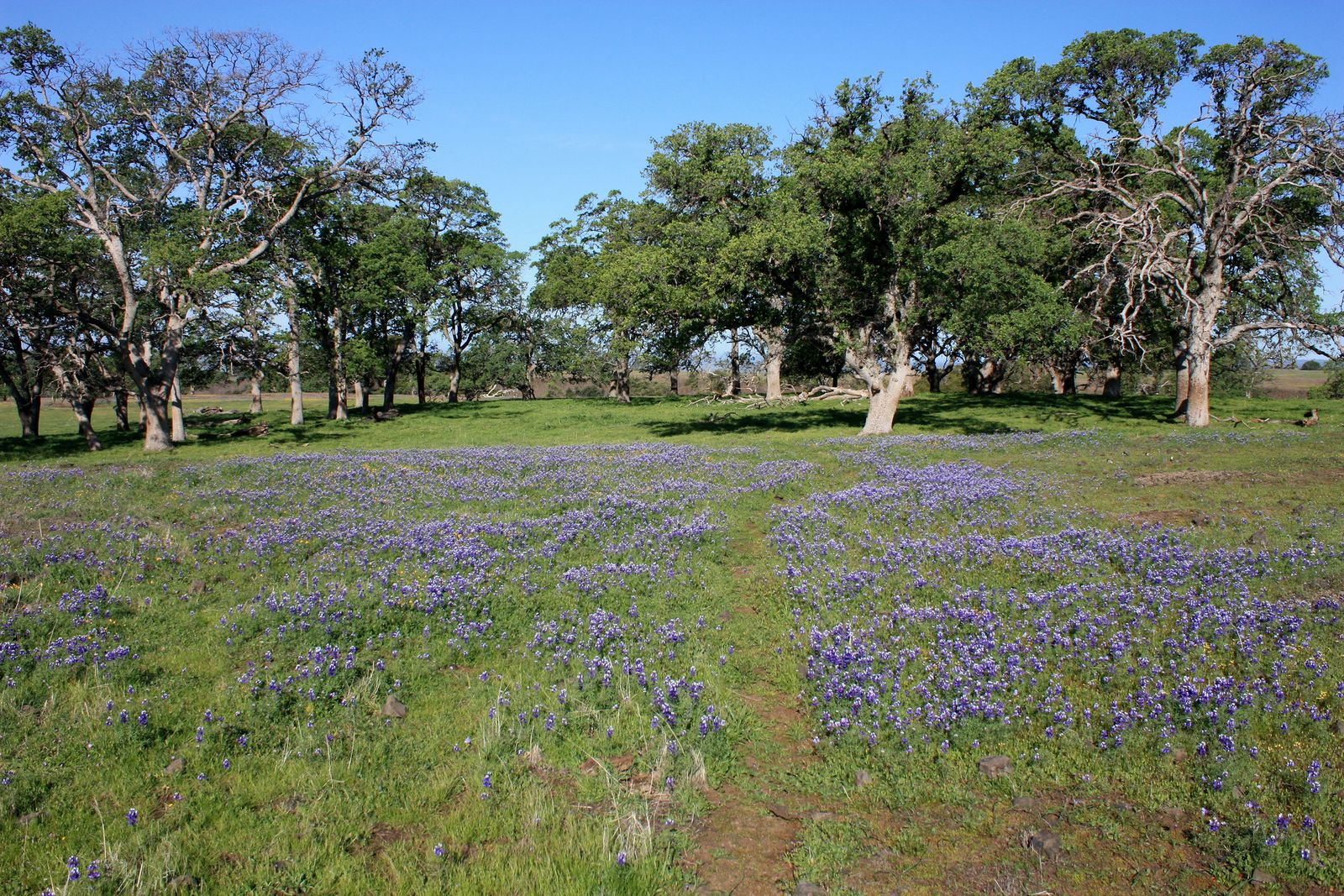
Table Mountain wildflower mesa walk: Butte County’s best seasonal hike
Routes here run roughly 3 to 8 miles depending on whether you’re aiming for a simple mesa walk or the full loop past Ravine Falls and the reserve’s signature Phantom Falls, both rain-fed and seasonal rather than year-round.
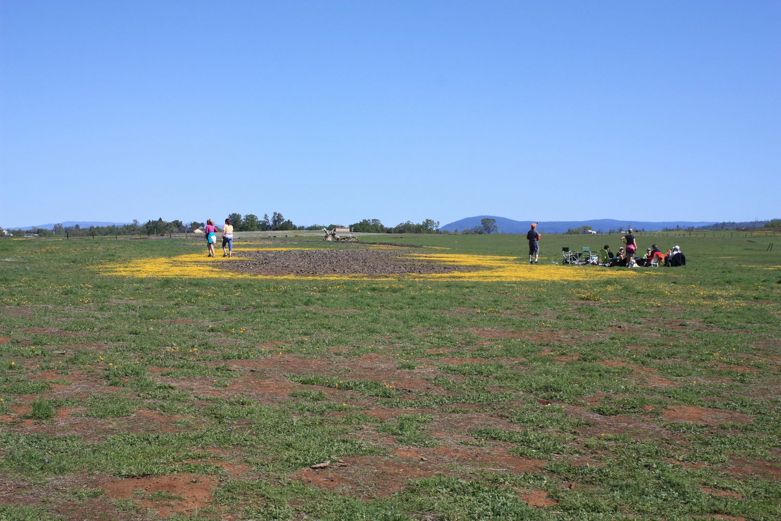
The wildflower window is narrow, typically mid-March through mid-April, sometimes shifting earlier or later depending on that winter’s rainfall, and a CDFW Lands Pass ($5.97 daily or $33.48 annually as of 2026) is required for visitors 16 and older, though valid CA hunting or fishing license holders are exempt.
Access is via Cherokee Road’s gravel lot, which fills early on weekend mornings, and cattle graze the reserve as part of its ongoing land management, so keep at least 300 ft of distance. Worth noting for anyone cross-referencing other guides: this is a different Table Mountain from the one near Murphys in Calaveras County, several hours south.
Best hiking trails near Lake Oroville, Butte County
Lake Oroville State Recreation Area surrounds California’s second-largest reservoir, anchored by the tallest dam in the United States.
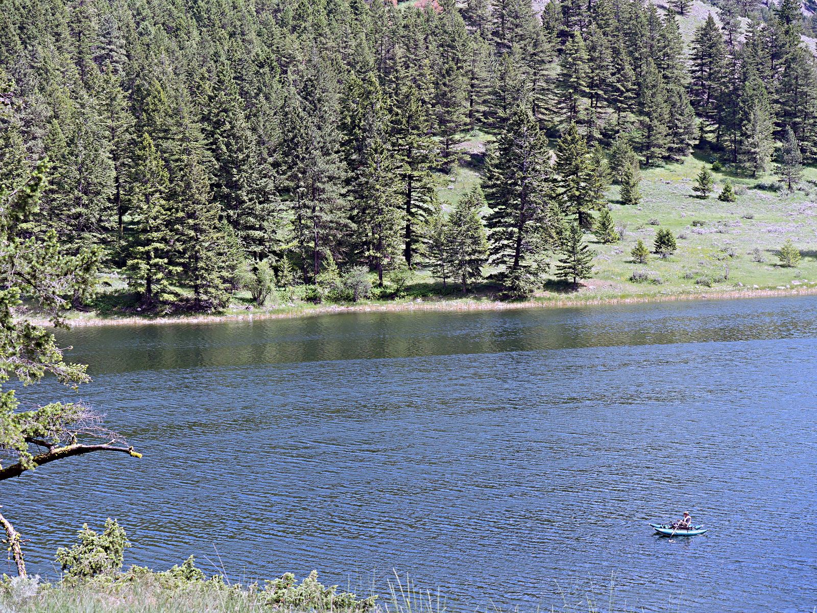
Saddle Dam Trail: Lake Oroville’s best short dam view hike
This 2-mile round trip is flat and easy, following the saddle dam structure with views over Lake Oroville and interpretive signage covering the 2017 spillway crisis that forced a mass evacuation of nearby communities.
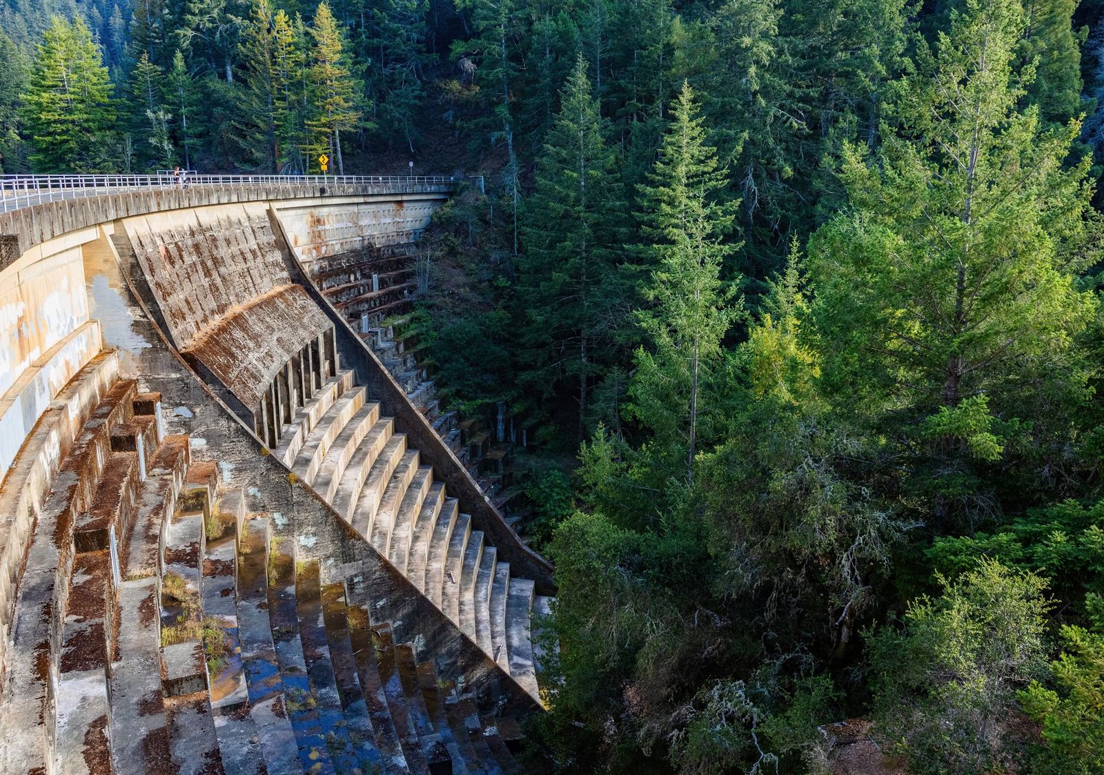
It’s free, managed by the California Department of Water Resources, and open year-round from Oroville Dam Boulevard.
For longer lake-adjacent hiking, the Brad Freeman Trail circles a substantial stretch of the shoreline, and the Lime Saddle Marina area offers flatter shoreline walking for a more relaxed day.
Butte County rewards visitors willing to look past its lack of national-park name recognition; Bidwell Park alone delivers a wild hiking experience inside city limits, and Feather Falls and Table Mountain both reward the extra drive out from Chico or Oroville.
Start with Lower Bidwell Park or the Saddle Dam Trail if it’s your first visit, and time a Table Mountain trip carefully if wildflowers are the goal, since that window closes faster here than almost anywhere else on this list. Few counties this overlooked pack in a municipal park, a top-tier waterfall, and a wildflower destination within the same short drive.
Frequently asked questions about hiking trails in Butte County
What are the best hiking trails in Chico, California?
Bidwell Park is the clear answer, with Upper Park’s wild canyon trails for a solid workout and Lower Park’s paved paths for an easy family walk. The park’s creek swimming holes make it a strong warm-weather pick too.
Is Bidwell Park in Chico free to hike?
Yes, there’s no entrance fee or reservation required to hike anywhere in Bidwell Park, in either the Upper or Lower sections. It’s one of the more free major hiking destinations covered in this whole series.
How do I hike to Feather Falls near Oroville?
Take the Feather Falls Trail from its trailhead off Lumpkin Road, choosing either the shorter, steeper 3.5-mile lower route or the longer, gentler 4.5-mile upper route to the falls overlook; many hikers combine both into an 8-to-9-mile loop. Day use costs $5, and no permit is required.
When do wildflowers bloom on Table Mountain near Oroville?
Typically mid-March through mid-April, though the exact window shifts with that winter’s rainfall; 2026’s bloom peaked unusually early, from around March 20 through April 15. A CDFW Lands Pass is required for anyone 16 or older visiting during this window or any other time of year.
Where are the best swimming holes in Bidwell Park?
Bear Hole and Salmon Hole, both in Upper Bidwell Park along Big Chico Creek, are the classic choices, reached via a hike from Upper Park Road. Sycamore Pool in Lower Park offers an easier, parking-adjacent alternative for anyone who doesn’t want the longer walk in.
Are there hiking trails near Lake Oroville in Butte County?
Yes, the Saddle Dam Trail is a flat, easy 2-mile option with dam and lake views, and the longer Brad Freeman Trail circles a substantial stretch of shoreline for anyone wanting more distance. Both are free and open year-round.