The 5 Best Hiking Trails Near Kings Canyon’s Cedar Grove, From a Canyon Deeper Than the Grand Canyon to a Marble Cave
Kings Canyon National Park isn’t in Kings County; it sits roughly 60 miles away in the Sierra Nevada foothills, split between Fresno and Tulare Counties, which is exactly where you’ll need to go to explore the spectacular Hiking Trails Near Kings Canyon’s Cedar Grove. This guide covers the Cedar Grove area of the park, distinct from the Grant Grove trails covered in my Fresno County Kings Canyon guide.
Disclosure: Please note that some of the links below are affiliate links and at no additional cost to you, I may earn a commission. Know that I only recommend hiking gear I personally stand behind; when you use my affiliate links, it helps me run this blog and keep all of this content free of charge for readers (like you).
In short: for Cedar Grove specifically: Kanawyer Loop is the easy canyon-floor introduction, Don Cecil Trail is the serious full-day summit push, and Boyden Cavern is the one different, underground experience in this entire guide.
Key takeaways
- The easy canyon-floor classic: Kanawyer Loop Trail, a flat 5-mile walk along the South Fork Kings River, in a canyon cited as deeper than the Grand Canyon at points.
- The full-day summit push: Don Cecil Trail to Lookout Peak, a historic route to a fire lookout with sweeping views straight down into the canyon.
- The accessible overlook alternative: Hotel Creek to Lewis Creek Loop, offering comparable canyon views for meaningfully less effort than the full Don Cecil commitment.
- The riverside walk: Kings River National Recreation Trail, following a federally designated Wild and Scenic River.
- The underground novelty: Boyden Cavern, a guided marble cave tour, technically outside the park itself but reached via the same scenic byway.
- The Cedar Grove Road closes every winter: every trail in this guide depends on that seasonal access window.
Kanawyer Loop Trail (Road’s End, Cedar Grove)
Trailhead access and parking at Road’s End, Cedar Grove (park entrance fee)
The farthest-in trailhead in Cedar Grove, at the literal end of the paved road into Kings Canyon, next to a backcountry permit office. No permit is needed for day hikers, just the standard entrance fee covering both Sequoia and Kings Canyon National Parks.
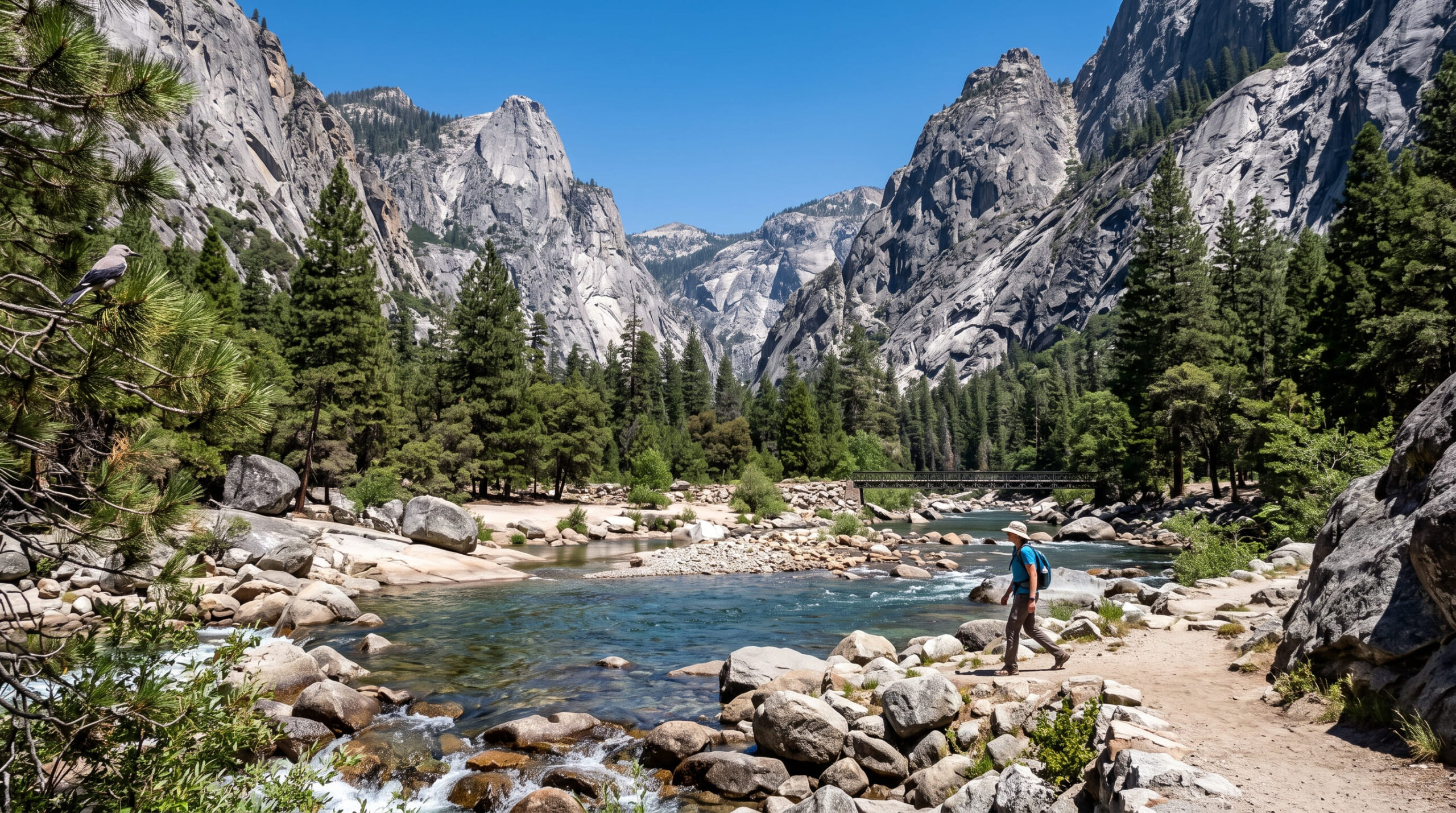
What you’ll see: a flat canyon-floor loop through the heart of Kings River Canyon
An easy roughly 4.5- to 5-mile loop with about 125 to 150 ft of elevation change follows paths along the South Fork Kings River near Road’s End, though hikers should always verify seasonal footbridge status before attempting the full loop. Kings Canyon is frequently cited as deeper than the Grand Canyon at certain points along its length.
Best time to hike Kanawyer Loop: summer, once the Cedar Grove Road opens for the season
The Cedar Grove Road’s seasonal winter closure is the defining access constraint for every trail in this guide, so check current road status before planning a trip.
Don Cecil Trail to Lookout Peak
Trailhead access and parking near Cedar Grove Village
The trailhead sits directly across Highway 180 from the Cedar Grove Visitor Center, along a historic route that served as the main access to Cedar Grove before Highway 180 was completed in 1939.
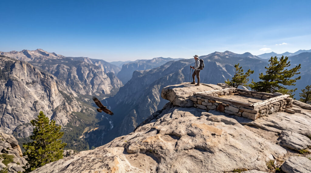
What you’ll see: a historic fire lookout with views down into Kings Canyon
Distances here vary meaningfully by source, ranging anywhere from 8.8 to 13 miles round trip, gaining 3,300 to 4,000 ft. Near the top, the trail leaves Kings Canyon National Park and enters Sequoia National Forest, requiring some Class 3 scrambling to reach the true summit of Lookout Peak, which is rewarded with a bird’s-eye view straight down into the canyon depths.
Best time to hike Don Cecil Trail: a full-day summer commitment
This is one of the most demanding day hikes out of Cedar Grove, so start early regardless of which distance figure you’re planning around, since it consistently takes longer than expected.
Hotel Creek to Lewis Creek Loop Trail
Trailhead access and parking at the Hotel Creek Trailhead, Cedar Grove
Directly across from Cedar Grove’s main developed area, offering one of the canyon’s best overlook payoffs relative to its length.
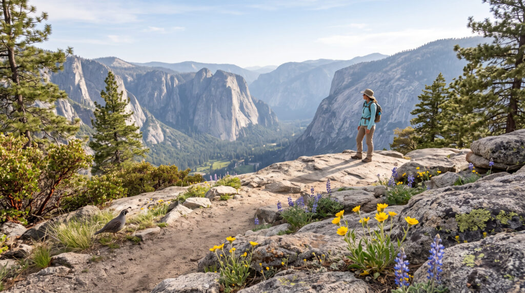
What you’ll see: a canyon overlook without the full Don Cecil Trail commitment
A shorter “Cedar Grove Overlook” version runs about 4 miles round trip (roughly 1,200 ft of gain) to a rocky outcrop with broad canyon views; the fuller combined Hotel Creek–Lewis Creek loop extends to closer to 7 miles for hikers wanting more. Either way, this delivers canyon-rim views for meaningfully less effort than the full Don Cecil Trail to Lookout Peak.
Best time to hike Hotel Creek to Lewis Creek Loop: spring for wildflowers, summer for full trail access
Spring brings wildflowers to the lower slopes; summer is when the full loop and access road are most reliably open.
Kings River National Recreation Trail
Trailhead access and parking along the Kings Canyon Scenic Byway
A trailhead along Highway 180 itself, following the Kings River rather than climbing to a canyon-rim overlook, which provides a different, water-level perspective from the trails above.
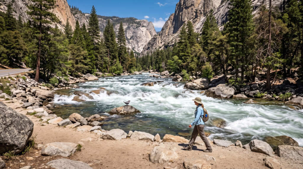
What you’ll see: a riverside walk along one of California’s officially designated Wild and Scenic Rivers
The Middle and South Forks of the Kings River carry federal Wild and Scenic River designation, protected legal status distinct from the canyon-overlook and fire-lookout trails elsewhere in this guide.
Best time to hike the Kings River National Recreation Trail: spring for high water, summer for full access
Spring delivers the most dramatic river flow; summer is when the full Cedar Grove access road is reliably open for the complete trail experience.
Boyden Cavern Trail
Trailhead access and parking at Boyden Cavern, Kings Canyon Scenic Byway (tour fee)
Reached via Highway 180, about 9.7 miles west of the Cedar Grove Visitor Center; a separate, ticketed tour fee applies on top of the standard park entrance fee, since the cavern is privately operated under a U.S. Forest Service special-use permit.
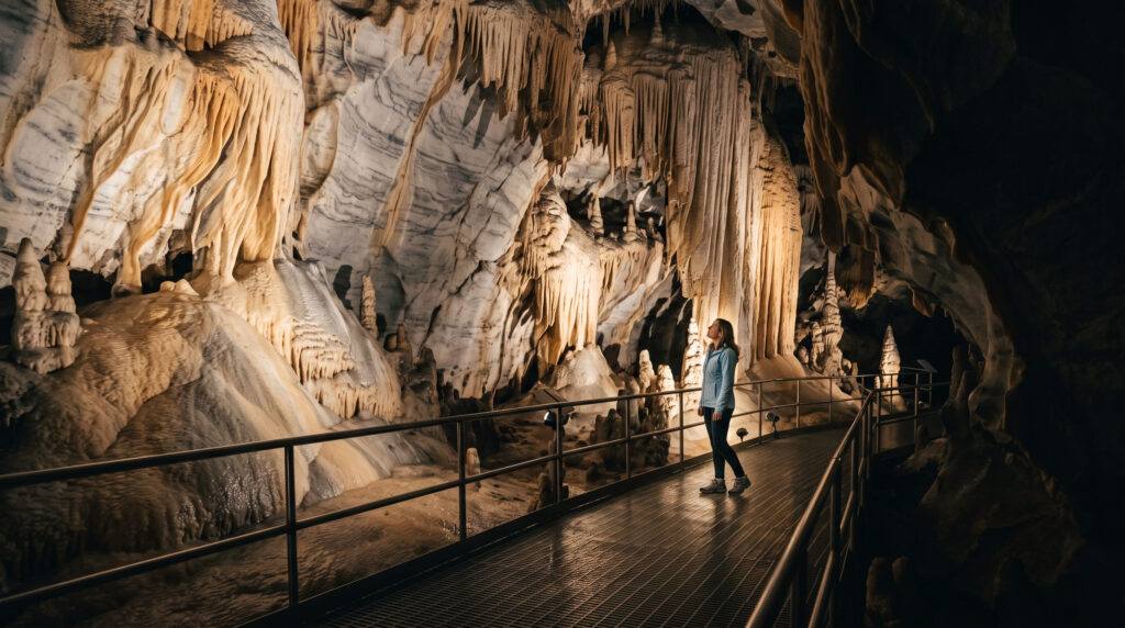
What you’ll see: a marble cavern with guided tours beneath the canyon walls
A short but steep trail leads to the cave entrance, beneath the towering 2,000-ft marble walls of the Kings Gates. Guided 45-to-60-minute tours, held daily 10 a.m. to 5 p.m., reveal stalactites, stalagmites, and flowstone formations that took roughly 100,000 years to form, making it the only underground entity in this entire guide.
Best time to hike Boyden Cavern: check the seasonal tour schedule
The cavern operates seasonally, tied to when Highway 180 is open between Grant Grove and Cedar Grove; for 2026, tours run through November 8. Confirm current dates directly with the operator before planning a visit around it.
The trail I’d start with
If you’ve only got one stop, make it Kanawyer Loop: it’s the easiest way to experience this canyon’s scale without a serious physical commitment. Hotel Creek to Lewis Creek Loop is the natural next step for canyon-rim views without Don Cecil’s full-day demand, and Boyden Cavern is worth the detour specifically because it’s the one experience in this guide that isn’t about canyon views at all.
For the Grant Grove side of Kings Canyon National Park (the geographically accurate Fresno County side of this same park), my Fresno County Kings Canyon guide covers that area in full. And for more of what this Kings County guide covers, my family-friendly trails guide and Kings County hiking guide round out the rest of the county.
Frequently asked questions
What trails to hike in Kings Canyon?
Kanawyer Loop for an easy canyon-floor introduction, Don Cecil Trail to Lookout Peak for a serious full-day summit push, and Boyden Cavern for something entirely different underground; together they cover the range of what Cedar Grove offers.
Is Kings Canyon National Park in Kings County?
No, despite the name similarity, Kings Canyon National Park sits roughly 60 miles away in the Sierra Nevada foothills, split between Fresno and Tulare Counties. Kings County itself is flat Central Valley agricultural land with no park boundary within it.
Is Boyden Cavern a cave?
Yes, a marble cavern formed over roughly 100,000 years, with stalactites, stalagmites, and flowstone, open for guided tours seasonally.
Is Cedar Grove different from Grant Grove?
Yes: they’re the park’s two developed areas, connected by Highway 180 but geographically distinct, each with its own trail system. This guide covers Cedar Grove; Grant Grove is covered in a separate guide.
Is Kings Canyon deeper than the Grand Canyon?
Yes, at certain points along its length, which is a frequently cited comparison, thanks to the canyon’s dramatic glacially and river-carved depth relative to its width.
Which Kings Canyon trail is best for a day trip?
Kanawyer Loop, by a clear margin: its flat, easy 5-mile profile makes it accessible to nearly any visitor with a single day to spend in Cedar Grove.