Best Hiking Trails in California for Mountain Views, From Yosemite to Death Valley
Ocean views are about horizon; mountain views are about scale. These seven Hiking Trails in California for Mountain Views put you somewhere high enough to actually see how the state’s geography fits together, granite domes framing granite domes, a valley floor 11,000 feet below your boots, a basin and range that keeps unfolding as far as the haze allows. A few are strolls. One has killed more people than any other hike in California. I’ve tried to be honest about which is which.
Disclosure: Please note that some of the links below are affiliate links and at no additional cost to you, I may earn a commission. Know that I only recommend hiking gear I personally stand behind; when you use my affiliate links, it helps me run this blog and keep all of this content free of charge for readers (like you).
Key Takeaways
- Best effort-to-payoff ratio: Sentinel Dome, a short, easy walk to one of Yosemite’s few 360° views that includes both Half Dome and El Capitan.
- Most dangerous trail on this list, by a wide margin: the Devil’s Backbone route to Mount Baldy’s summit, 23 deaths recorded between 2016 and 2025, most from winter conditions catching hikers unprepared.
- Most extreme elevation contrast: Telescope Peak, where a clear day shows you both Badwater Basin (the lowest point in North America) and, in the distance, Mount Whitney (the highest point in the contiguous US).
- Most accessible summit view: the Verna Dunshee Trail on Mount Tamalpais, a paved, wheelchair-friendly loop with a 100-mile view on a clear day.
- Best under-the-radar Yosemite view: Mount Dana, the park’s second-highest peak, with a fraction of Half Dome’s crowds and no permit lottery.
- Best cool-weather escape from San Diego’s heat: Cuyamaca Peak, meaningfully cooler than the coast or inland valleys thanks to its elevation.
1. Sentinel Dome Trail (Yosemite National Park)
Why it made this list: a 360° panorama with minimal effort
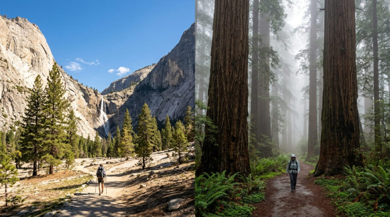
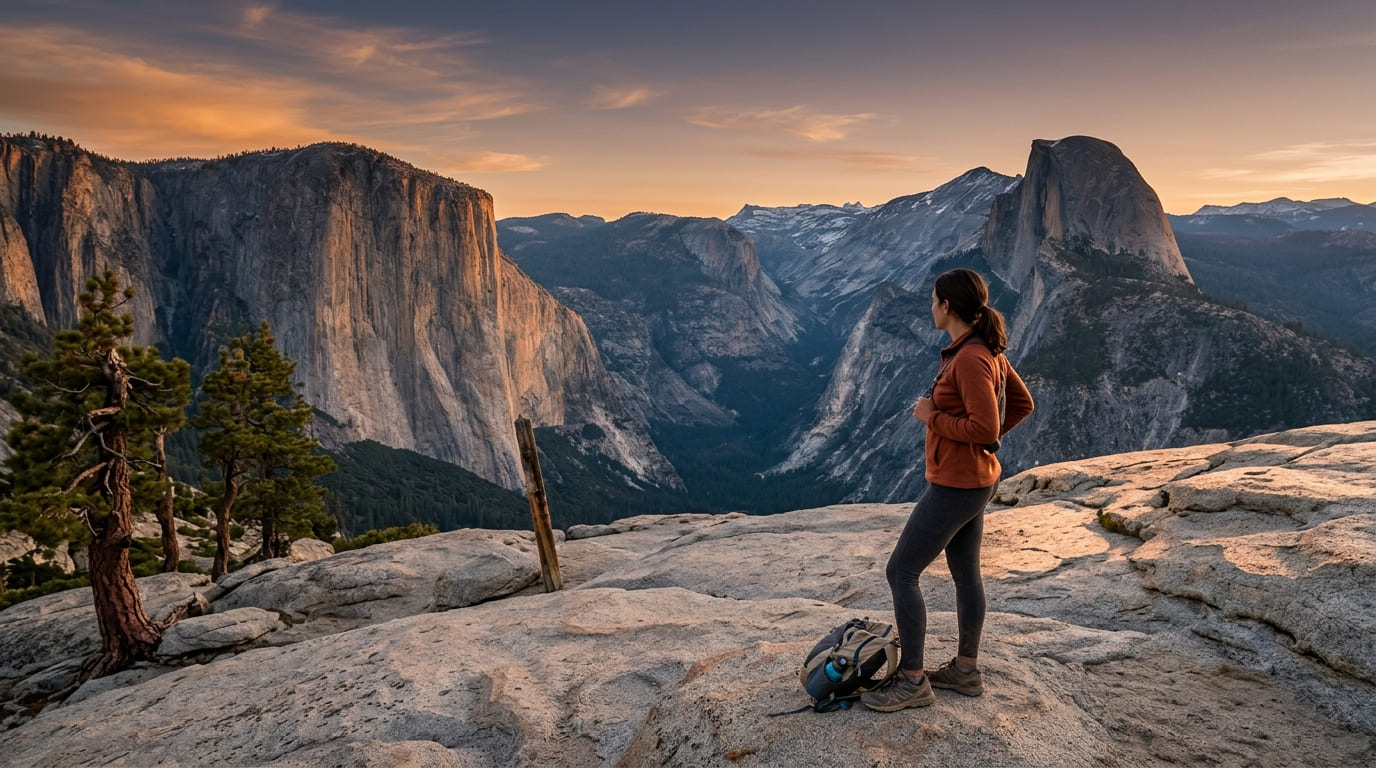
Sentinel Dome is the view I send people to when they want the classic Yosemite panorama without a permit lottery or an all-day commitment. It’s roughly 2.2 miles round trip with about 400 feet of gain to a bare granite summit, and it’s one of the only spots in the park where you get both Half Dome and El Capitan in the same sweeping view, along with the High Sierra crest behind them.
Practical tips: access and best timing
This trail is reached off Glacier Point Road, which is seasonal, it opened for 2026 on May 9, so it’s fully accessible now. Sunset here is spectacular given the open western exposure, and it draws a real crowd on clear summer evenings, so get there at least 45 minutes early to stake out a spot on the rock.
2. Devil’s Backbone Trail to Mount Baldy’s Summit (San Gabriel Mountains, Los Angeles County)
Why it made this list: Southern California’s highest peak, visible from nearly all of LA
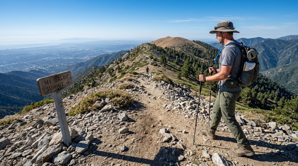
At 10,064 feet, Mount Baldy is the peak that anchors the skyline behind Los Angeles on a clear day, and reaching its summit via the Devil’s Backbone ridge is a full-circle payoff, you’re looking back down at the entire basin you can normally only look up at. Our Los Angeles County San Gabriel Mountains trail guide covers gentler options nearby if this one’s more than you’re looking for.
Practical tips: access and best timing
I need to be direct about this trail’s safety record: 23 people died on Mount Baldy between 2016 and 2025, with more than 100 air and ground rescues in that span, most clustered on this exact route and nearby Icehouse Canyon.
Nearly all involve winter conditions, the ridge is narrow and exposed, and ice turns it into mountaineering terrain requiring crampons and an ice axe, not hiking boots.
As of this writing, summer conditions have returned and the official Angeles National Forest trail page lists it as open and snow-free (roughly 11 miles round trip via Devil’s Backbone up and the Ski Hut Trail down, about 4,000 ft of gain), but start at sunrise and turn around at the first sign of building weather.
3. Telescope Peak Trail (Death Valley National Park, Inyo County)
Why it made this list: a single view spanning the lowest and highest points in the Lower 48
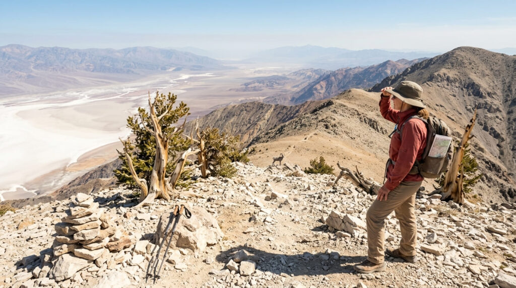
Nothing else on this list offers an elevation contrast like Telescope Peak. From the 11,049-foot summit, the tallest point in Death Valley, you look down at Badwater Basin, 282 feet below sea level and the lowest point in North America, and on a clear day you can pick out Mount Whitney on the horizon, the tallest point in the contiguous US.
If you want to add that superlative to your own list, our 10 California hiking trails to do before you die guide covers the Whitney route itself.
Practical tips: access and best timing
Per the official NPS Telescope Peak page, the standard route is about 14 miles round trip with 3,000 ft of gain from Mahogany Flat, reached via Emigrant Canyon and Wildrose Road, the final stretch wants a high-clearance vehicle; in a low-clearance car, park at the Charcoal Kilns and walk the extra road miles.
Here’s the seasonal quirk: while most of Death Valley is a strict winter destination, this trail runs the opposite calendar, the access road closes with snow, so late spring through fall is your real window.
4. Verna Dunshee Trail, Mount Tamalpais (Marin County)
Why it made this list: a paved, wheelchair-accessible 360° view
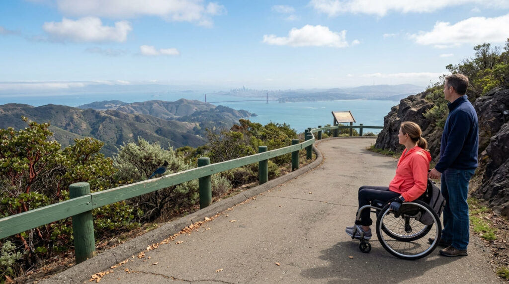
This is the trail I’d point to if someone tells me they want a mountain-summit panorama but can’t handle a steep climb.
The Verna Dunshee Trail is a short, paved loop around East Peak that’s wheelchair accessible and still delivers a real 360° view, on a clear day, visibility here reportedly reaches up to 100 miles. Our Marin County Mount Tamalpais trail guide has more options nearby if you want to add mileage to the trip.
Practical tips: access and best timing
The catch is entirely about atmospheric clarity, not trail difficulty. Marin’s coastal fog and inland haze both cut into that 100-mile visibility, so I’d check a clear-day forecast before making the drive up specifically for the view, the trail itself is doable in any weather, but the payoff isn’t guaranteed.
5. Kaiser Peak Trail (Fresno County)
Why it made this list: a High Sierra summit reachable in a single day
Kaiser Peak tops out at 10,320 feet in the Kaiser Wilderness above Huntington Lake, and it’s one of the few true Sierra summits you can day-hike without a wilderness permit. Our Fresno County high-elevation trails guide covers more of this same high country if you want to build a longer trip around it.
Practical tips: access and best timing
Plan on roughly 10.8 miles round trip and 3,000-plus feet of gain from the D&F Pack Station trailhead near Huntington Lake, about 70 miles and 1.5 to 2 hours from Fresno via Highway 168.
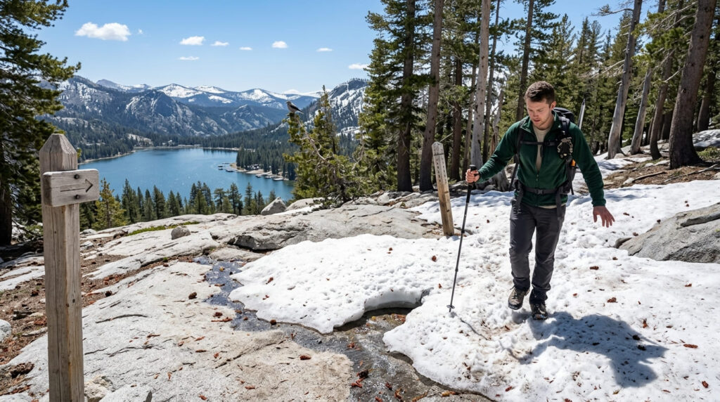
Snow lingers above tree line here well into early summer some years, a late-May 2026 trip report still noted patchy snow near the summit, so hold off on an early-season attempt unless you’re comfortable with a little postholing.
6. Cuyamaca Peak Trail (San Diego County)
Why it made this list: San Diego County’s second-highest peak, views to the Salton Sea
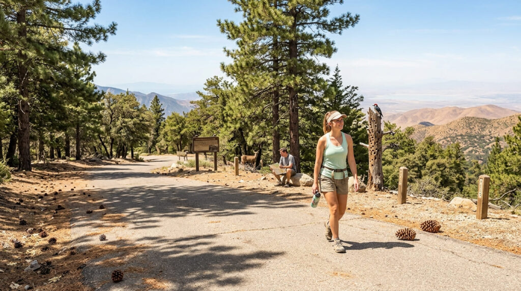
At 6,512 feet, Cuyamaca Peak is the second-highest point in San Diego County, and the summit view stretches from the Pacific to the Salton Sea on a clear day, a different kind of payoff than the county’s coastal or desert trails.
The most direct route runs about 5.6 miles round trip with roughly 1,700 to 2,200 feet of gain via the paved Lookout Road from Paso Picacho Campground.
Practical tips: access and best timing
The elevation here does real work for you on a hot San Diego summer day, this East County summit runs meaningfully cooler than the coast or inland valleys, the opposite of most of the county’s trail advice.
A state park day-use fee applies at Paso Picacho, and snow is possible above 5,000 feet in winter, occasionally closing the upper road.
7. Mount Dana Trail (Mono County / Yosemite Boundary)
Why it made this list: a summit view over the Yosemite high country without Half Dome’s crowds
Mount Dana is Yosemite’s second-highest peak at 13,061 feet, and the view from the top rivals anything in the park, without a permit lottery, a cable route, or the crowds that come with Half Dome’s fame.
It’s an unmaintained use-trail rather than a formal path, roughly 5.8 to 6 miles round trip with about 3,100 ft of gain from the Tioga Pass entrance area. Our Mono County high-altitude trails guide for the Eastern Sierra covers more of this region’s best summit hikes.
Practical tips: access and best timing
This one has a hard seasonal gate: you can’t reach the trailhead until Tioga Road opens for the year, since it sits right at the Tioga Pass entrance station. Good news for 2026, Tioga Road opened May 15, its earliest opening in 16 years, so the trail has been accessible all summer.
Our best stargazing and night hike trails in California guide covers this same high-elevation, low-light-pollution corridor after dark, if that’s also on your list.
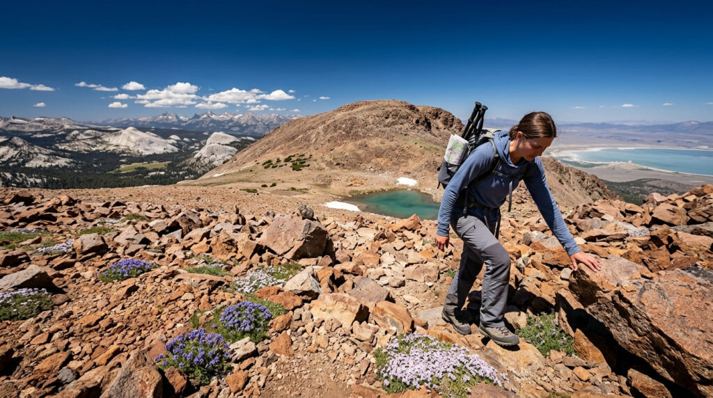
Quick comparison: all 7 mountain-view trails at a glance
| Trail | Round-Trip Distance | Elevation Gain | Permit Required? | Difficulty |
|---|---|---|---|---|
| Sentinel Dome | ~2.2 mi | ~400 ft | No | Easy |
| Devil’s Backbone (Mt. Baldy) | ~11 mi | ~4,000 ft | No | Strenuous, real fall risk |
| Telescope Peak | ~14 mi | ~3,000 ft | No | Strenuous |
| Verna Dunshee (Mt. Tam) | ~0.7 mi | Minimal | No | Easy, wheelchair accessible |
| Kaiser Peak | ~10.8 mi | ~3,000–3,700 ft | No (day hike) | Strenuous |
| Cuyamaca Peak | ~5.6 mi | ~1,700–2,200 ft | No (day-use fee) | Moderate |
| Mount Dana | ~5.8–6 mi | ~3,100 ft | No | Strenuous, unmaintained trail |
Before you go, a few honest notes
None of these seven require a wilderness permit, which makes this list more spontaneous than the bucket-list entries elsewhere on this site, but Telescope Peak and Mount Dana both depend entirely on seasonal road access, so a spring trip needs a status check first.
Kaiser Peak and Mount Dana pair well as a two-day Eastern Sierra swing; Devil’s Backbone deserves its own dedicated day given the mileage and terrain.
Frequently Asked Questions About Best Hiking Trails in California for Mountain Views
Is the Mount Baldy hiking trail open?
As of this writing, yes, the Devil’s Backbone route is open and snow-free for the standard May-through-October hiking season. It has closed temporarily in past winters due to storms and ice, so always check the Angeles National Forest alerts page before a cold-weather visit.
What is the best mountain view hike for beginners?
The Verna Dunshee Trail on Mount Tamalpais, it’s paved, wheelchair accessible, and still delivers a 360° summit view. Sentinel Dome is a close second at just over 2 miles round trip.
Do you need a permit for any of these mountain view trails?
No. All seven can be day-hiked without a wilderness permit, which sets this list apart from many of the bucket-list and backcountry trails covered elsewhere on this site.
Which trail has the most complete panoramic view?
Sentinel Dome and the Verna Dunshee Trail both deliver 360° views with minimal effort. For sheer elevation drama, though, Telescope Peak’s view spanning the lowest and highest points in the contiguous US is hard to beat.
Are mountain summit trails safe in winter?
Not generally, and Devil’s Backbone is the clearest example, its winter death toll is real and well documented. Several of these trails, including Telescope Peak and Mount Dana, are simply inaccessible in winter due to road closures. Treat any of these as a late-spring-through-fall trip unless you have real winter mountaineering experience.
What should you bring for a high-elevation summit hike?
Layers, more water than you think you’ll need, and sun protection, thin air at 10,000-plus feet burns you faster than you’d expect. For anything above treeline, I’d also pack a printed map; cell service is unreliable on most of these summits.