Best Hiking Trails in California for Stargazing and Night Hikes
Some of the best views in this state only show up after dark. These seven Hiking Trails in California for Stargazing range from a five-minute walk to a desert expedition, but they share the thing that actually matters for stargazing: distance from city light. A few double as legitimate hikes; a couple are drive-up overlooks where the payoff is standing still and looking up. I’ve flagged the ones where road conditions or summer heat can turn a good idea into a bad night.
Disclosure: Please note that some of the links below are affiliate links and at no additional cost to you, I may earn a commission. Know that I only recommend hiking gear I personally stand behind; when you use my affiliate links, it helps me run this blog and keep all of this content free of charge for readers (like you).
Key Takeaways
- Darkest skies on this list, period: Death Valley’s Badwater Basin and Dante’s View, a Gold-Tier International Dark Sky Park, the highest rating that exists.
- Easiest big payoff: Keys View in Joshua Tree, a short paved path to a certified dark-sky overlook, no hiking required.
- Most demanding access: Font’s Point in Anza-Borrego, a sandy road that catches unprepared vehicles every season.
- Best free astronomy hangout: Mount Pinos, long favored by amateur astronomers for its dark, frequently clear skies.
- Strangest landscape after dark: Trona Pinnacles, hundreds of tufa spires that look otherworldly even in daylight.
- Read this before an August trip: Death Valley sees heat-related deaths nearly every summer. Plan around Dante’s View, not the valley floor, if you’re visiting this time of year.
1. Badwater Basin & Dante’s View, Death Valley National Park (Inyo County)
Why it made this list: an International Dark Sky Park with some of the darkest skies in the country
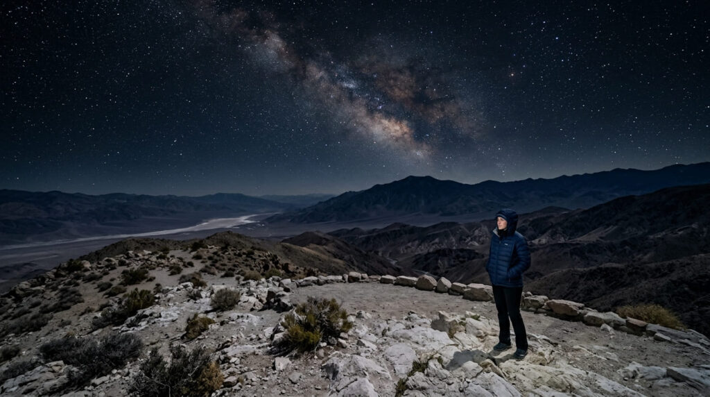
Death Valley holds the Gold Tier from DarkSky International, the highest designation a park can earn, and the two most accessible viewpoints couldn’t be more different.
Badwater Basin puts you on the salt flats 282 feet below sea level, the lowest point in North America, while Dante’s View sits 5,575 feet above that same basin on a ridge in the Black Mountains, with Telescope Peak visible in the distance. If elevation extremes are your thing, our best mountain-view hiking trails in California guide covers that peak directly.
Practical tips: access and best timing
I need to say this plainly, given the time of year: you’re reading this in August, and Death Valley is dangerous right now.
Temperatures regularly top 120°F from June through August; the park holds the record for the hottest air temperature ever reliably recorded on Earth, and heat-related fatalities happen most summers. Badwater Basin’s low elevation stays brutally hot well after dark in summer; I wouldn’t plan a night visit there this time of year.
Dante’s View, 5,575 feet higher, runs meaningfully cooler and is the better August choice; bring a jacket regardless, since it’s windy and cold up there even when the valley floor is baking. October through April is the season for Badwater itself.
2. Keys View, Joshua Tree National Park (Riverside County)
Why it made this list: a paved overlook with views across the Coachella Valley to the Salton Sea
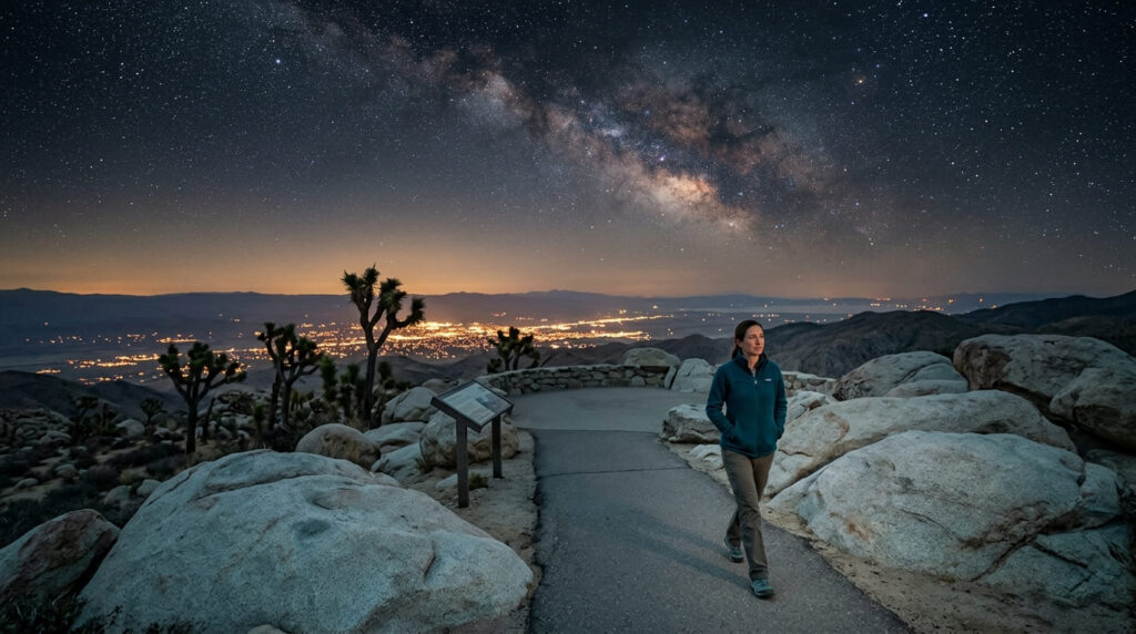
Joshua Tree is a certified International Dark Sky Park, and Keys View is the easiest way to cash in on that designation: a short, paved quarter-mile path from the parking area to a lookout point at over a mile of elevation, with the Coachella Valley spread out below and, on a clear day, Signal Mountain in Mexico visible 90 miles south. Our Riverside County Joshua Tree gateway trail guide covers more day-hike options nearby if you want to add mileage before dark.
Practical tips: access and best timing
Bring a layer. Keys View sits high enough that wind here regularly gusts 30 to 40 mph, and it runs noticeably colder than the desert floor below; a surprising number of visitors show up in shorts and regret it within ten minutes. If mobility is a concern, the Lower Keys View area offers the same valley views with an easier, flatter approach than the steeper paved path at Upper Keys View.
3. Font’s Point Trail, Anza-Borrego Desert State Park (San Diego County)
Why it made this list: a badlands overlook in one of California’s largest Dark Sky-designated parks
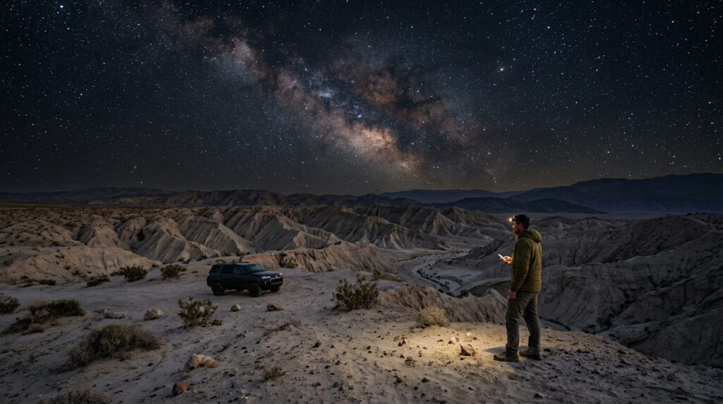
Anza-Borrego is California’s largest state park at roughly 600,000 acres and earned its own International Dark Sky Park designation (Silver Tier) in 2018, and Font’s Point is the classic payoff: a badlands overlook where eroded ridgelines fall away in every direction, dramatic even before you factor in the stars. Our San Diego County desert trail guide covers more of this same terrain.
Practical tips: access and best timing
The unpaved access road is the obstacle here, not the overlook. It’s about 4 miles of soft sand off Highway S-22, and while some all-wheel-drive crossovers make it through, plenty of two-wheel-drive sedans get stuck, call the visitor center first if you’re not in a high-clearance vehicle, especially after rain, since flash flooding is a risk in the wash. Our best slot canyon and desert hiking trails in California guide covers several more Anza-Borrego formations nearby.
4. Mount Pinos (Kern/Ventura County Border)
Why it made this list: Southern California’s premier astronomy destination
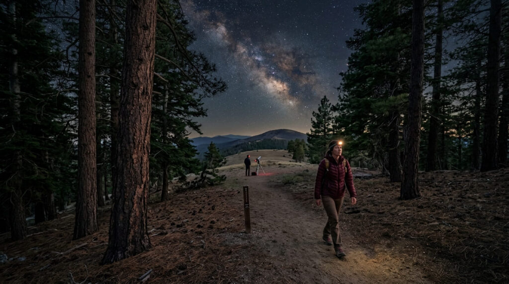
Mount Pinos has been a favorite among amateur and professional astronomers for decades, the Chumash called it Iwihinmu, “the center of the world,” and at 8,831 feet with consistently dark, frequently clear skies, it’s earned a similar reputation among stargazers.
Unlike several other entries here, it’s a hike to the payoff: about 1.4 miles on a maintained trail from the Chula Vista trailhead. Our Kern County southern Sierra trail guide covers more of this high-elevation border country.
Practical tips: access and best timing
This is cold territory after dark, even in summer; the high elevation means temperature swings once the sun goes down, so pack layers regardless of season. Astronomy groups regularly set up telescopes in the parking area itself if you’d rather not hike at night; the trailhead view alone is often enough.
5. Trona Pinnacles (San Bernardino County)
Why it made this list: an otherworldly tufa spire landscape under some of the darkest skies in the state
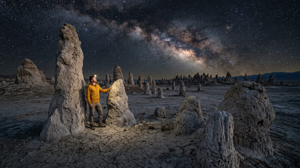
Trona Pinnacles is one of the strangest landscapes in California, with more than 500 calcium-carbonate tufa spires, some over 140 feet tall, rising out of a dry lakebed. It’s shown up in enough films (Star Trek V, Planet of the Apes, and plenty of others) that the setting might look familiar even on a first visit. Our San Bernardino County desert trail guide has more Mojave Desert options in the same general area.
Practical tips: access and best timing
This is a remote BLM site with no facilities, water, or cell service; treat a night visit here with full self-sufficiency: extra water, a full tank of gas, and someone who knows your plan. The access road is about 5 miles of dirt off Highway 178, usually fine for a standard car, but it can wash out after winter rain; skip it in questionable weather.
6. Minaret Vista (Near Mammoth Lakes, Mono County)
Why it made this list: a high-elevation overlook of the jagged Minaret peaks under Eastern Sierra skies
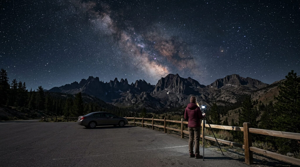
Minaret Vista looks straight across at the Minarets, Mt. Ritter, and Mt. Banner in the Ansel Adams Wilderness, and the Eastern Sierra’s dry air and minimal light pollution make it one of the better night-sky spots on this list. Our Mono County Mammoth Lakes trail guide covers more of this same area for a daytime add-on.
Practical tips: access and best timing
Here’s a useful distinction: unlike destinations deeper in Reds Meadow Valley, you can drive your own car directly to Minaret Vista on paved Minaret Summit Road; the mandatory shuttle requirement only kicks in if you continue past this point into the valley itself.
The road is typically open from late June through early October, snow-dependent, and closed to vehicles outside that window.
7. Panum Crater, Mono Lake (Mono County)
Why it made this list: volcanic silhouettes against the night sky above an ancient lake
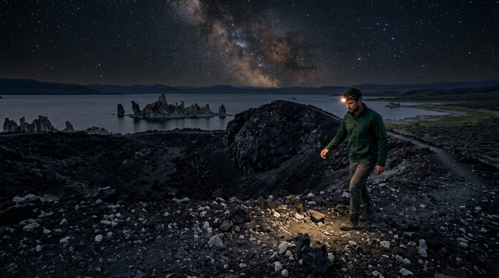
Panum Crater is the youngest of the Mono-Inyo Craters chain, and its dark volcanic rock makes for a striking foreground against Mono Lake’s tufa towers and the night sky beyond, a different composition than anything else on this list.
Practical tips: access and best timing
The terrain here is loose volcanic rock and pumice, far easier to misjudge in the dark than in daylight; a reliable headlamp isn’t optional if you’re hiking the crater rim after sunset. It pairs naturally with a sunset stop at nearby South Tufa before the sky fully darkens.
Quick comparison: all 7 stargazing spots at a glance
| Location | Dark Sky Status | Access Difficulty | Best Season |
|---|---|---|---|
| Badwater Basin & Dante’s View | Gold Tier (Death Valley NP) | Easy (paved) | Oct–Apr for the basin; Dante’s View works year-round |
| Keys View | Certified (Joshua Tree NP) | Easy (paved) | Year-round; cold and windy at night |
| Font’s Point | Within Silver Tier park (Anza-Borrego) | Hard, sandy 4WD road | Nov–Apr |
| Mount Pinos | Uncertified, favored by astronomers | Moderate (1.4 mi hike) | May–Nov (seasonal road) |
| Trona Pinnacles | Uncertified, very low light pollution | Moderate, remote dirt road | Year-round; avoid after rain |
| Minaret Vista | Uncertified, Eastern Sierra clarity | Easy (drive-up) | Late June–early Oct |
| Panum Crater | Uncertified, near Mono Lake | Easy–moderate, loose terrain | May–Oct |
Before you go, a few honest notes
Only two of these seven, Death Valley and Joshua Tree, carry an official Dark Sky designation; the rest earn their spot through low light pollution rather than a certification. If you are shopping for your adventure companion, checking out our curated outdoor present ideas for active partners is a great way to prep practical gear. If you’re new to night hiking, start with Keys View or Minaret Vista, since both let you drive most of the way to the payoff.
Check the moon phase before any of these trips; a few nights around the new moon make a bigger difference to what you’ll actually see than which of these seven locations you pick.
Frequently Asked Questions About Best Hiking Trails in California for Stargazing and Night Hikes
What is the darkest sky location in California?
Death Valley National Park holds the Gold Tier designation from DarkSky International, the highest rating available, making it the darkest certified sky in the state. Anza-Borrego Desert State Park holds the Silver Tier, one step below.
Which California national parks are Dark Sky certified?
Death Valley National Park (Gold Tier) and Joshua Tree National Park are both certified International Dark Sky Parks. Anza-Borrego Desert State Park, while a state rather than national park, holds its own Silver Tier certification.
Is it safe to hike at night in California?
Generally yes on well-established, gentle terrain, but it depends heavily on the specific location. Loose volcanic ground like Panum Crater or exposed desert routes need caution after dark, and desert heat can make even a night hike dangerous in summer at low elevations like Badwater Basin.
What gear do you need for a night hike?
A reliable headlamp with spare batteries, more water than you’d bring for a daytime trip, and warm layers; desert and high-elevation temperatures drop fast after sunset, even when the day was hot. A printed map is worth having too, since cell service is unreliable at most of these locations.
What is the best season for stargazing in California?
It depends on elevation. Desert locations like Death Valley, Joshua Tree, and Anza-Borrego are best in the cooler months, October through April, while high-elevation spots like Mount Pinos and Minaret Vista are only reachable once seasonal roads open, typically late spring through fall.
Do you need a permit for a night hike?
No, none of the seven locations on this list require a permit for a night visit, though several sit inside fee-charging parks (Death Valley and Joshua Tree both have standard entrance fees) and Font’s Point requires navigating an unpaved access road rather than any paperwork.