The Complete Guide to Hiking Safety in California: Preparation, Gear & Rules
Hiking safety in California means planning for risks a lot of other states don’t stack on top of each other quite like this: wildfire smoke that can close a trail overnight, heat that turns a moderate morning hike into a heat-exhaustion risk by 11 a.m., and elevation gains steep enough to trigger altitude sickness on trails that look easy on paper. I’m a Wilderness First Responder (WFR), and in four-plus years of cataloguing trails across this state, the incidents I keep seeing repeated aren’t exotic; they’re preventable: no water plan, no one told where you’re going, and a forecast nobody checked. This guide covers exactly what to do differently.
Disclosure: Please note that some of the links below are affiliate links and at no additional cost to you, I may earn a commission. Know that I only recommend hiking gear I personally stand behind; when you use my affiliate links, it helps me run this blog and keep all of this content free of charge for readers (like you).
Key takeaways:
- Check the forecast and trail alerts the morning you leave, not the night before.
- Always leave a float plan, tell someone your route and expected return time.
- Carry the Ten Essentials on every hike, even a short one.
- Carry more water than you think you need; heat and altitude both increase your needs fast.
- Know how to respond to a mountain lion, bear, or rattlesnake encounter before you’re standing in front of one.
- If in doubt, turn around. No summit is worth a night lost in the backcountry.
Why hiking safety in California is different from other states
Most states hand you one or two variables to manage. California hands you heat, altitude, wildfire, and drought-stressed wildlife, often on the same trail in the same week. I plan every California hike around whichever of those four is most acute for that trail and that month, not around a single generic “be careful out there.” See our weather hazards guide and seasonal hazards guide for more on specific conditions.
California’s most common trail incidents, and how to avoid them
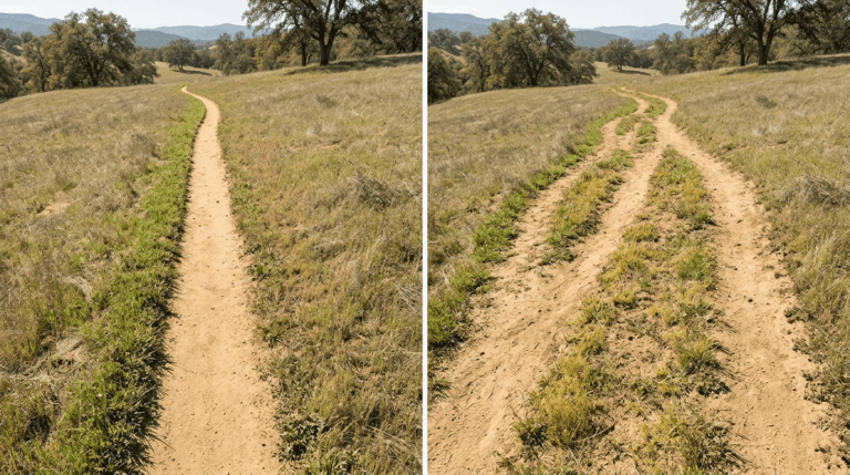
Search-and-rescue data across U.S. trails points to one cause more than any other: hikers wandering off-trail and getting lost, not injuries from wildlife or falls. Dehydration and heat illness make up a large share of the rest, especially on exposed Southern California and foothill trails in summer. Both are almost entirely preventable. Stay on the designated trail at every junction (read more in our navigation hazards guide), and treat water as a planning problem, not an afterthought.
When is it unsafe to hike in California? Seasonal red flags
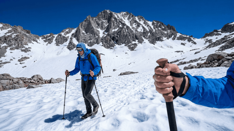
Treat these as hard stop signals, not suggestions: active CAL FIRE incidents or red flag warnings near your trail, a National Weather Service heat advisory for the area you’re hiking, storm-damaged washouts on coastal trails (Highway 1 and Big Sur close often after heavy rain), and fresh Sierra snowpack on any trail above 9,000 ft outside summer months. As of July 2026, that means checking CAL FIRE’s incident map and your trail’s managing agency alerts before every summer and fall trip, not just following a mental calendar.
Pre-hike preparation: the safety checklist before you leave home
How to research a trail before you hike it
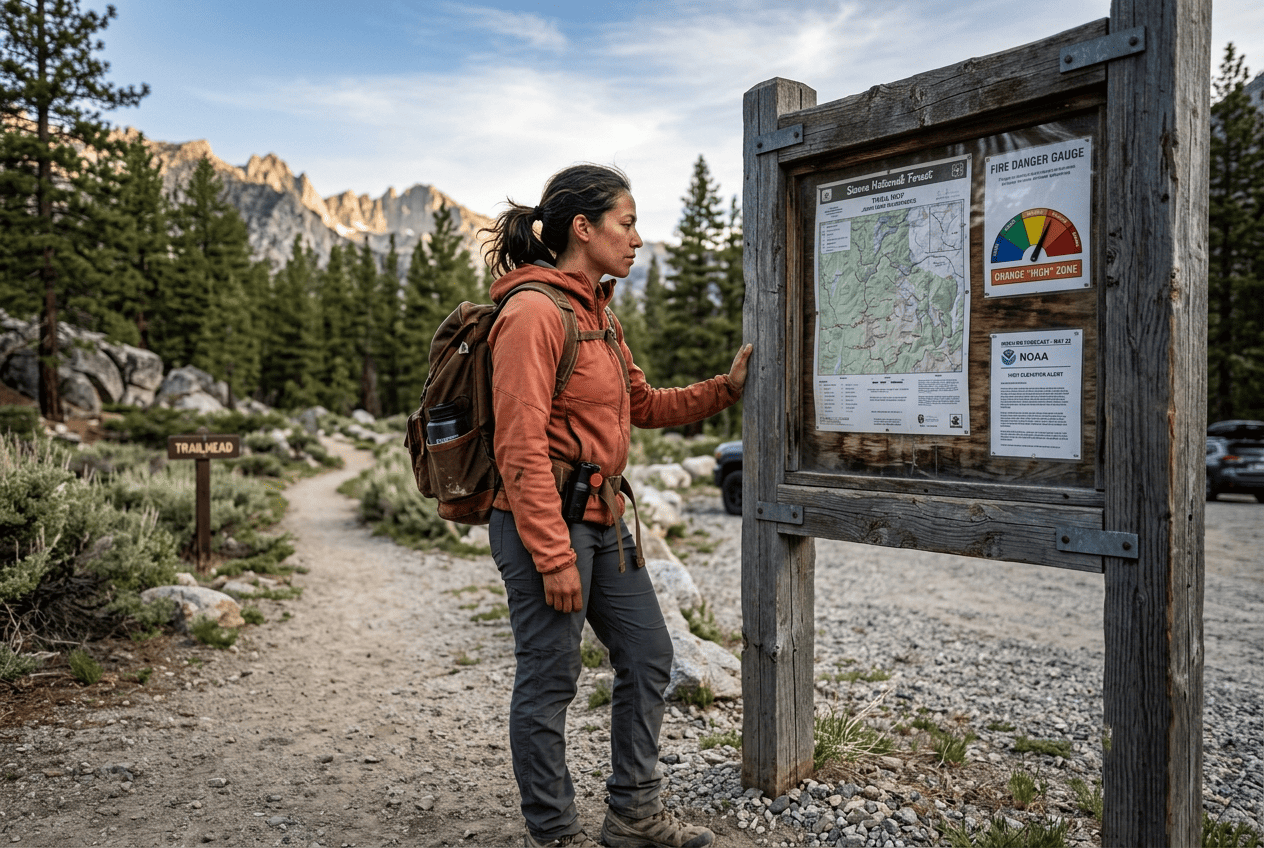
Before I commit to any trail, I check four sources in this order: the managing agency’s own alert page (NPS, USFS, or California State Parks), recent AllTrails reviews from the last two weeks for real-time conditions, Recreation.gov for any permit requirement, and weather.gov for the trailhead’s actual forecast, not just the nearest city’s. Skipping the agency page is the single most common gap I see; it’s the only source that reflects closures the moment they happen.
Always tell someone your plan: the hiking float plan
A float plan is just three things written down and sent to someone who isn’t hiking with you: your exact trailhead and route, your expected return time, and who to call if you’re not back by then. It takes two minutes and it’s the single habit search-and-rescue teams say matters most, because it turns “missing for an unknown reason” into “overdue on a known route by a known amount of time.”
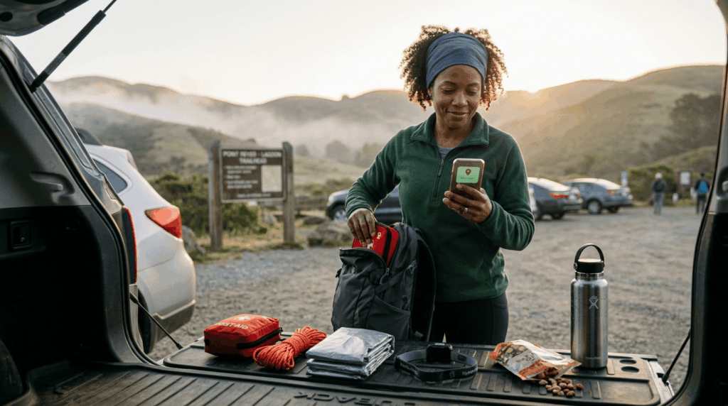
How to check weather before a California hike, and what to watch for
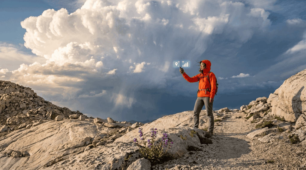
Check the mountain-specific forecast, not the valley forecast. Sierra afternoon thunderstorms build fast and bring real lightning risk above treeline, so plan to be off exposed ridgelines by early afternoon in summer. On the coast, watch for the marine layer burning off later than expected, which can leave you exposed to sun and heat later in the day than you planned for.
Essential safety gear for every California hike
The Ten Essentials for California hiking: a modern list
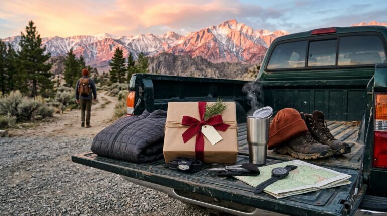
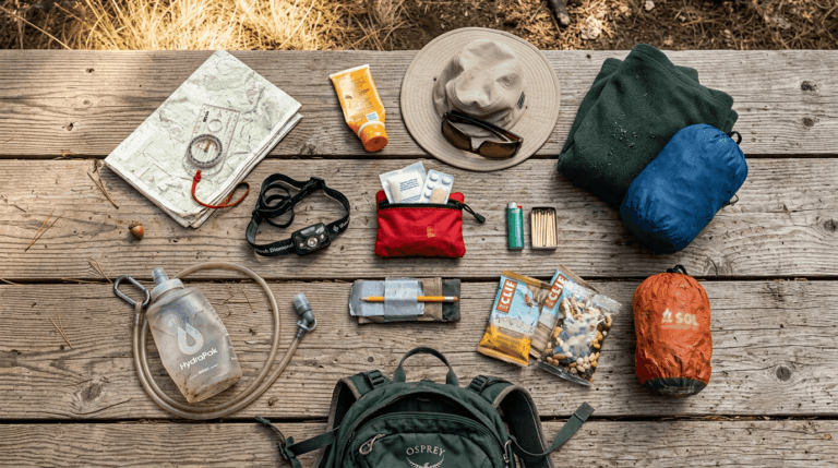
Carry all ten on every hike, even a short one; the exact items evolve, but the categories don’t:
- Navigation (offline map, compass, or GPS device)
- Sun protection (sunscreen, hat, sunglasses)
- Insulation (an extra layer of moisture-wicking trail clothing beyondwhat the forecast says you’ll need)
- Illumination (headlamp, even for a “daytime only” hike)
- First aid supplies
- Fire starter (waterproof matches or a lighter)
- Repair kit and tools (knife, duct tape)
- Nutrition (extra food beyond your planned amount)
- Hydration (extra water beyond your planned amount)
- Emergency shelter (an emergency bivy or space blanket)
Check our comprehensive hiking gear checklist for specific recommendations.
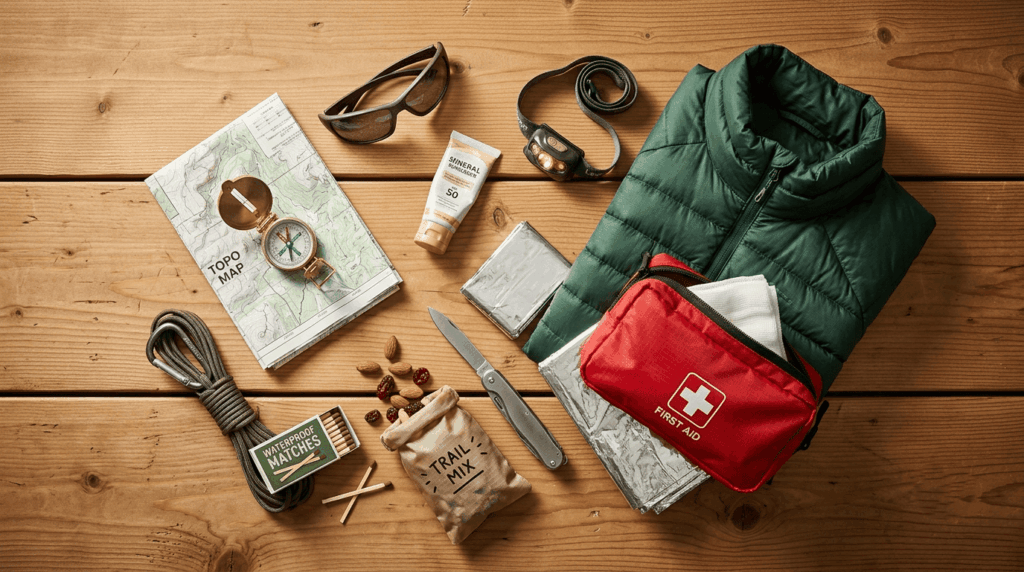
Navigation tools that can save your life on California trails
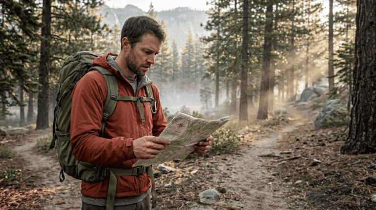
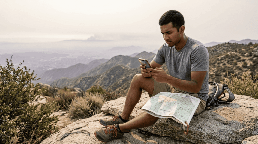
Download your route offline before you leave cell coverage. AllTrails and Gaia GPS both support this, and cell signal disappears fast in canyons and dense forest. A paper map and compass are still the right backup, since batteries die and phones get dropped in creeks. Our beginner’s guide to hiking trails covers how trail markers and junctions typically work if you’re new to reading them.
Emergency devices: PLBs, satellite messengers, and whistles
If you’re heading into terrain with no cell coverage, which describes most of the Sierra backcountry, a personal locator beacon (PLB) or a two-way satellite messenger like a Garmin inReach is worth the cost. Both trigger a real emergency response with your GPS coordinates attached, which a phone can’t do once the signal is gone. A whistle costs nothing and works when batteries don’t: three short blasts are the universal distress signal.
Hydration and nutrition safety on California trails
How much water to carry per mile in California’s heat and altitude
| Conditions | Recommended water |
|---|---|
| Shade, mild temperature | About 0.5 L per hour |
| Full sun, moderate heat | About 0.75–1 L per hour |
| Desert or high heat (Death Valley, Joshua Tree, Mojave) | 1+ L per hour, plus electrolytes |
| High altitude (above 8,000 ft) | Increase your baseline by 20–30% |
Bring more than the chart says, not less; running out is a much bigger problem than carrying an extra half-litre. Read our water and electrolytes guide for the full breakdown.
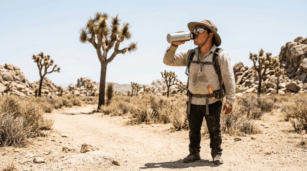
Water sources on California trails: when is stream water safe?
Never assume stream water is safe to drink untreated, no matter how clear it looks; giardia and other pathogens are present in California backcountry water year-round. Filter or treat every source with a pump filter, purification tablets, or a UV pen; carrying a lightweight water filter is cheaper and lighter than most people expect. We cover this extensively in our water hazards guide.
Nutrition and energy for hiking: what to eat before and during
Eat before you’re hungry and drink before you’re thirsty; waiting for either signal means you’re already behind. Pack food with real caloric density (nuts, dried fruit, jerky) rather than relying on sugar alone, and if you’re sweating heavily for hours, add electrolytes to your water; drinking large amounts of plain water without replacing salt is what causes hyponatremia, which is a genuine risk on long, hot days.
Wildlife safety on California hiking trails
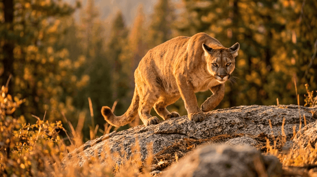
Mountain lion, bear, and rattlesnake encounters: what California hikers must know
| Animal | If you encounter one | What NOT to do |
|---|---|---|
| Mountain lion | Make yourself look big, maintain eye contact, back away slowly | Never run or crouch down |
| Black bear | Make noise, group up, back away; never approach for a photo | Never run, never get between a bear and its cubs |
| Rattlesnake | Freeze, then slowly back away; give it a wide berth | Never try to move it or handle it |
If a rattlesnake bites you: stay calm, keep the limb below heart level, and get to medical care immediately. Don’t cut the wound, don’t try to suck out venom, and don’t apply a tourniquet; all three are myths that make outcomes worse, and hospitals carry effective antivenom when treatment starts quickly. See our full wildlife hazards guide.
Tick safety on California trails: prevention and removal
Treat clothing with permethrin before a hike in brushy or grassy areas, tuck pants into socks, and do a full tick check afterward. To remove one, use fine-tipped tweezers, grip as close to the skin as possible, and pull straight out without twisting; note the date in case Lyme disease symptoms show up later.
Trail safety rules in California: what’s required vs. recommended
California trail regulations: permits, fires, camping, and Leave No Trace
Wilderness permits are required for overnight stays in most designated wilderness areas, booked through Recreation.gov. Campfires are frequently banned or restricted during fire season, regardless of what a trailhead sign said last year, so check current CAL FIRE restrictions, not last season’s memory. Bear canisters are required for overnight storage in parts of the Sierra, including much of Yosemite’s backcountry. Beyond the legal requirements, Leave No Trace principles are the baseline expectation everywhere else; our trail etiquette guide covers all seven in detail.
Dog safety rules on California’s hiking trails
Rules vary sharply by agency: most national parks don’t allow dogs on trails at all, California State Parks generally require a leash, and county and regional parks vary trail by trail. Check pavement and rock temperature with the back of your hand before a summer hike. If it’s too hot for you to hold your hand there for five seconds, it’s too hot for paws. Our hiking with dogs guide covers everything you need to know.
What to do in a hiking emergency in California
How to call for help when lost or injured on a trail
Call 911 first if you have any signal at all, but don’t count on it working, since cell coverage gaps are common in canyons and deep forest. If you have a PLB or satellite messenger, trigger the SOS function, which works with no cell signal. Note your GPS coordinates from your phone or device even if the call doesn’t connect; rescuers can often use a text message (which needs less signal than a call) to receive your location.
Basic first aid skills every California hiker should know
As a WFR, the four skills I’d want every hiker to know cold are: wrapping a sprain with the RICE method (rest, ice, compression, elevation), recognizing heat exhaustion early (heavy sweating, weakness, nausea) before it progresses to heat stroke, recognizing hypothermia even in “warm” California weather (shivering, confusion, slurred speech), and treating blisters before they open. All four show up more often than any dramatic wilderness-survival scenario.
When to turn around: making smart decisions on the trail
Turning around isn’t failure; it’s the decision that keeps you able to try again. My rule: if you’re not at the halfway point by the time you’ve used half your daylight, water, or energy, turn around regardless of how close the destination looks on the map. Our difficulty ratings guide can help you set a realistic turnaround point before you ever start.
If you take one thing from this guide, make it the float plan and the water math; both cost you nothing and prevent most of what actually goes wrong on California trails. Once your safety basics are locked in, matching your fitness to the right trail type is what actually gets you to the trailhead prepared.
Frequently asked questions about hiking safety in California
How many people get rescued from California trails each year?
There’s no single statewide count, since search-and-rescue is run county by county, but getting lost, not injury or wildlife, is consistently the leading cause of rescues nationally, and California’s popular trails see their share every season.
Can I hike during fire season in California?
Often, yes, but check CAL FIRE’s incident map and your trail’s managing agency alerts before you go, since conditions can change within hours during active fire weather.
Does 911 work in the mountains?
Sometimes cell coverage is inconsistent in canyons and dense forest, which is exactly why a PLB or satellite messenger matters for any remote hike.
Should I carry a satellite communicator hiking?
If you’re hiking anywhere without reliable cell service, yes, a PLB or two-way satellite messenger is the only device that reliably triggers emergency response once the signal is gone.
Is it OK to turn around without finishing a hike?
Yes, always. Turning around when conditions, energy, or daylight run short is a sign of good judgment, not a failure to complete the trail.