Best Hiking Trails in Joshua Tree National Park
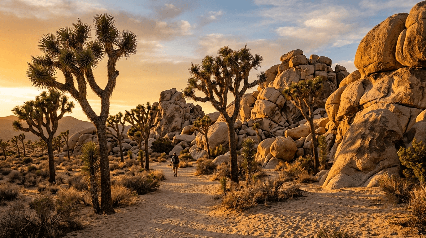
Joshua Tree looks forgiving from a car window, open desert, scattered boulders, that famous silhouette of a tree that isn’t really a tree. On foot, in the wrong month or without enough water, it stops being forgiving fast. The park’s own rangers spend a meaningful part of their day at trailheads specifically checking whether visitors are carrying enough water for the heat. Understanding the realities of Hiking Trails in Joshua Tree National Park is critical before you lace up your boots.
Disclosure: Please note that some of the links below are affiliate links and at no additional cost to you, I may earn a commission. Know that I only recommend hiking gear I personally stand behind; when you use my affiliate links, it helps me run this blog and keep all of this content free of charge for readers (like you).
Here’s how to actually pick a trail here, by difficulty and by season, plus the desert-specific safety rules that matter more than they do almost anywhere else in California. Check how Joshua Tree fits into California’s wider park landscape in our national parks hiking guide.
Key takeaways
- Joshua Tree spans two distinct deserts, the higher, cooler Mojave in the north and west, and the lower, hotter Colorado Desert in the south and east, and trail character changes noticeably between them.
- No water sources exist on any trail, all water in the park is reserved for wildlife, so you carry everything you’ll use, typically at least a gallon per person per day.
- Dogs are not allowed on any unpaved trail or in the backcountry, anywhere in the park, the only trail exceptions are the paved Oasis of Mara and Keys View paths.
- Day hiking needs no permit; overnight backcountry camping requires free self-registration at one of 13 backcountry boards.
- Peak season runs October through April, with comfortable 60–80°F temperatures, summer hiking is genuinely dangerous and best limited to short trails before 9 a.m.
Why Joshua Tree National Park is a unique hiking destination in California
Joshua Tree covers nearly 800,000 acres where two distinct desert ecosystems meet, studded with monzogranite boulder formations that draw hikers and climbers alike, and it holds an International Dark Sky designation that makes it one of the best stargazing destinations anywhere in the state.
The two deserts of Joshua Tree: Mojave and Colorado hiking zones
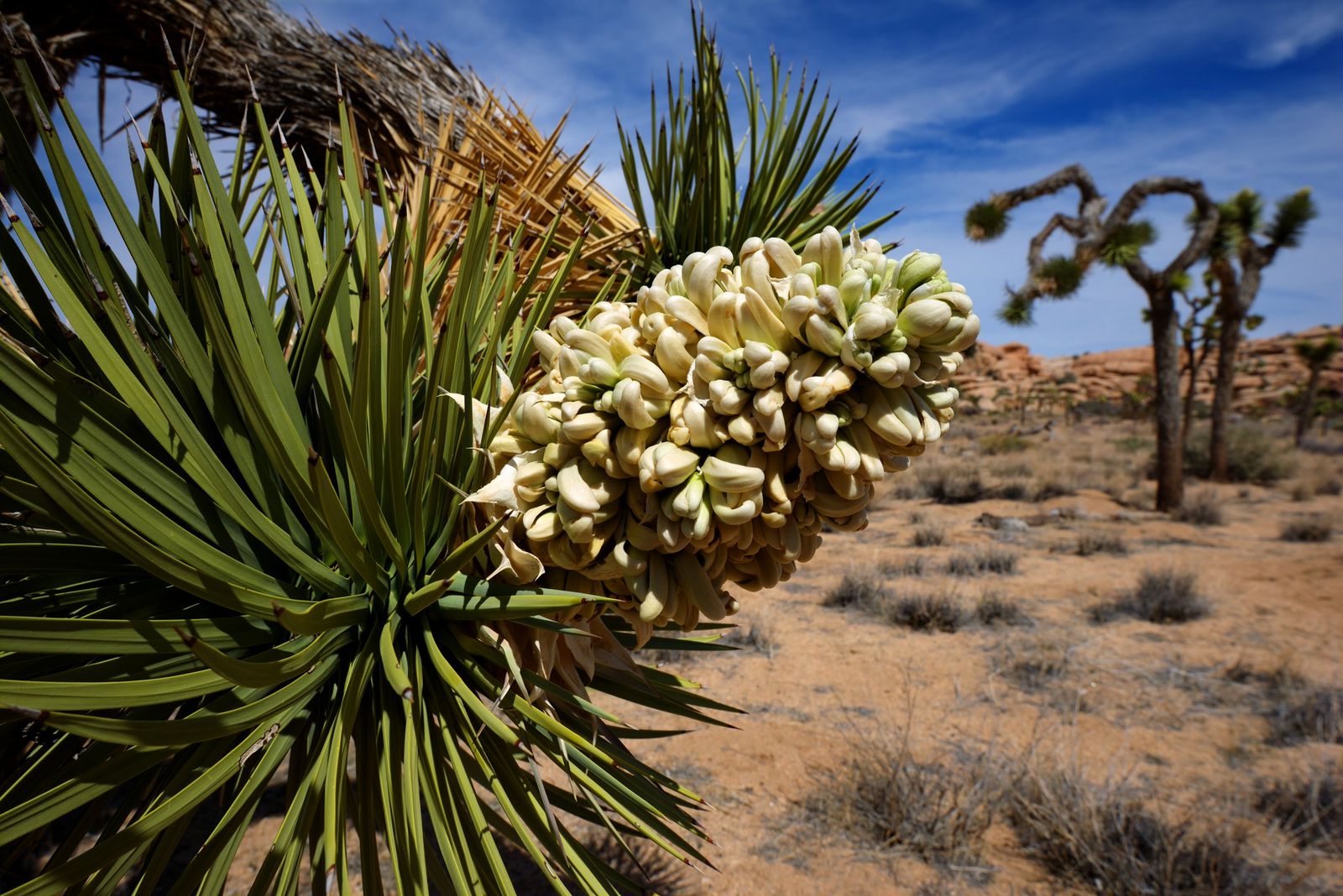
The Mojave Desert zone covers the park’s north and west, higher in elevation, cooler, and home to the iconic Joshua trees (Yucca brevifolia) themselves, most of the park’s famous rock-formation hikes sit in this zone. The Colorado Desert zone covers the south and east, lower, hotter, and dominated by cholla cactus and ocotillo instead, with a starker, more classically “desert” feel.
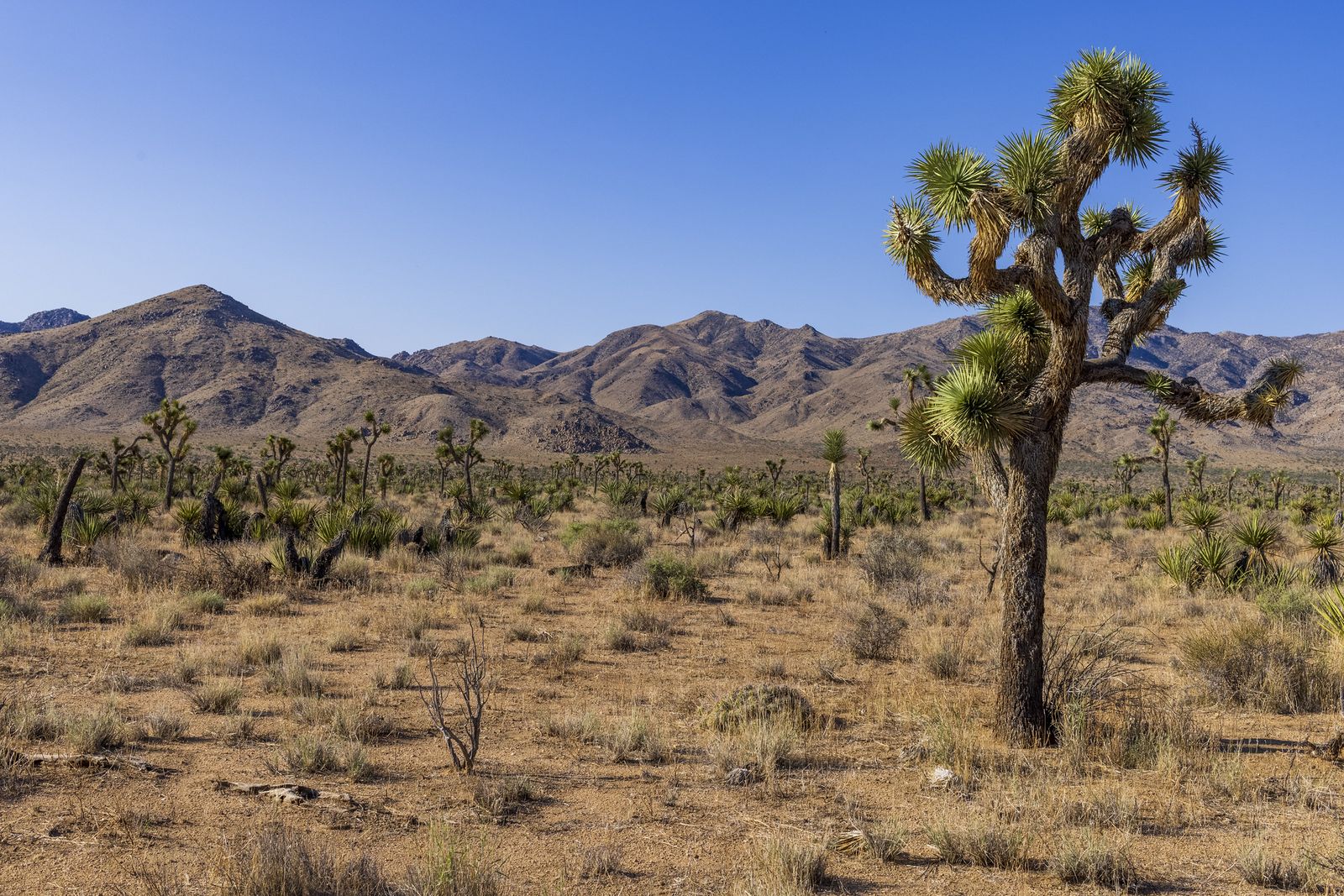
Trail character shifts noticeably between the two, expect more shade-adjacent boulder terrain in the Mojave section and more open, exposed desert in the Colorado section, which is worth factoring into which zone you pick for a summer visit specifically.
Best easy hiking trails in Joshua Tree National Park
Under two miles, minimal elevation change, and genuinely family-friendly, these work as a first stop or a cooldown after a longer hike.
Skull Rock Nature Trail: Joshua Tree’s best easy interpretive hike
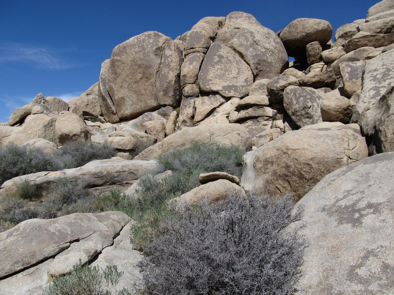
A 1.7-mile loop starting at Jumbo Rocks campground, with interpretive signage and dramatic rock formations including the trail’s namesake skull-shaped boulder. Easy grade throughout, and a good option for kids old enough to enjoy the scrambling opportunities along the way.
Cholla Cactus Garden: a short walk through Joshua Tree’s spines
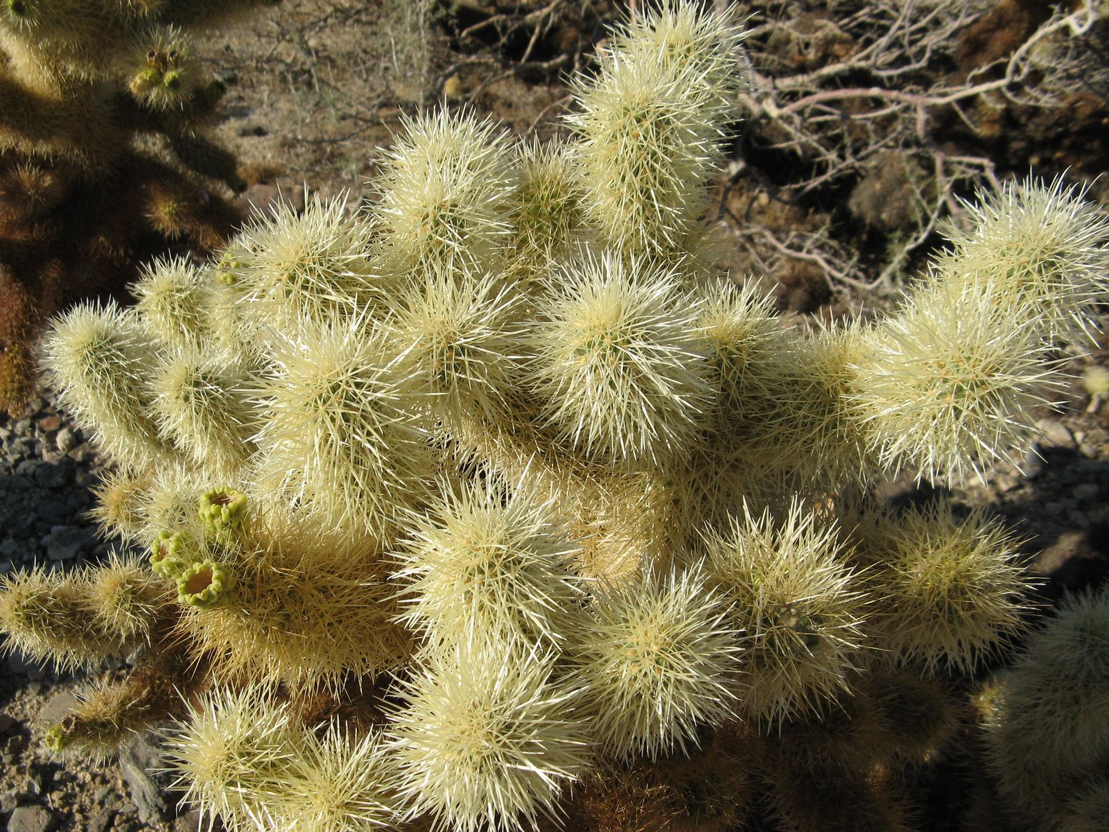
A 0.25-mile interpretive loop through a dense stand of jumping cholla (Cylindropuntia bigelovii) in the Colorado Desert zone, accessible year-round. The name isn’t an exaggeration, cholla segments detach and cling to skin or clothing at the slightest brush, so stay on the boardwalk and keep kids and pets close.
Best moderate hiking trails in Joshua Tree National Park
Two to five miles with some real elevation gain this tier is where Joshua Tree’s rock formation and history content genuinely shines.
Ryan Mountain: Joshua Tree’s best summit hike for views
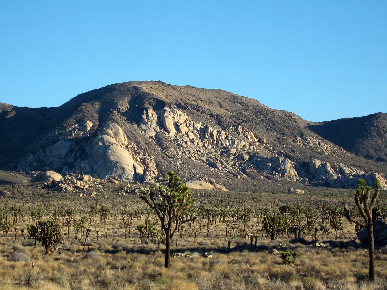
A 3-mile round trip with roughly 1,050 ft of gain to a 5,457-ft summit, delivering panoramic views over the Pinto Basin and the Wonderland of Rocks, widely considered the single best view-to-effort ratio in the park. The trail is rocky and largely unshaded, so morning starts and real sun protection both matter more here than the moderate distance suggests, and it’s genuinely one of the most popular hikes in Joshua Tree, so expect company even on a weekday.
Before attempting, review our hiking difficulty levels guide to gauge the steep grade. Pack the essentials, including plenty of water, using our hiking gear checklist.
Barker Dam Nature Trail: rock art, wildlife, and hidden water
A 1.3-mile loop past a historic cattle dam in the Mojave Desert zone, where seasonal water draws wildlife including bighorn sheep. The NPS has removed a rock art reproduction that once stood here after repeated vandalism, which says something about how fragile the park’s cultural sites actually are.
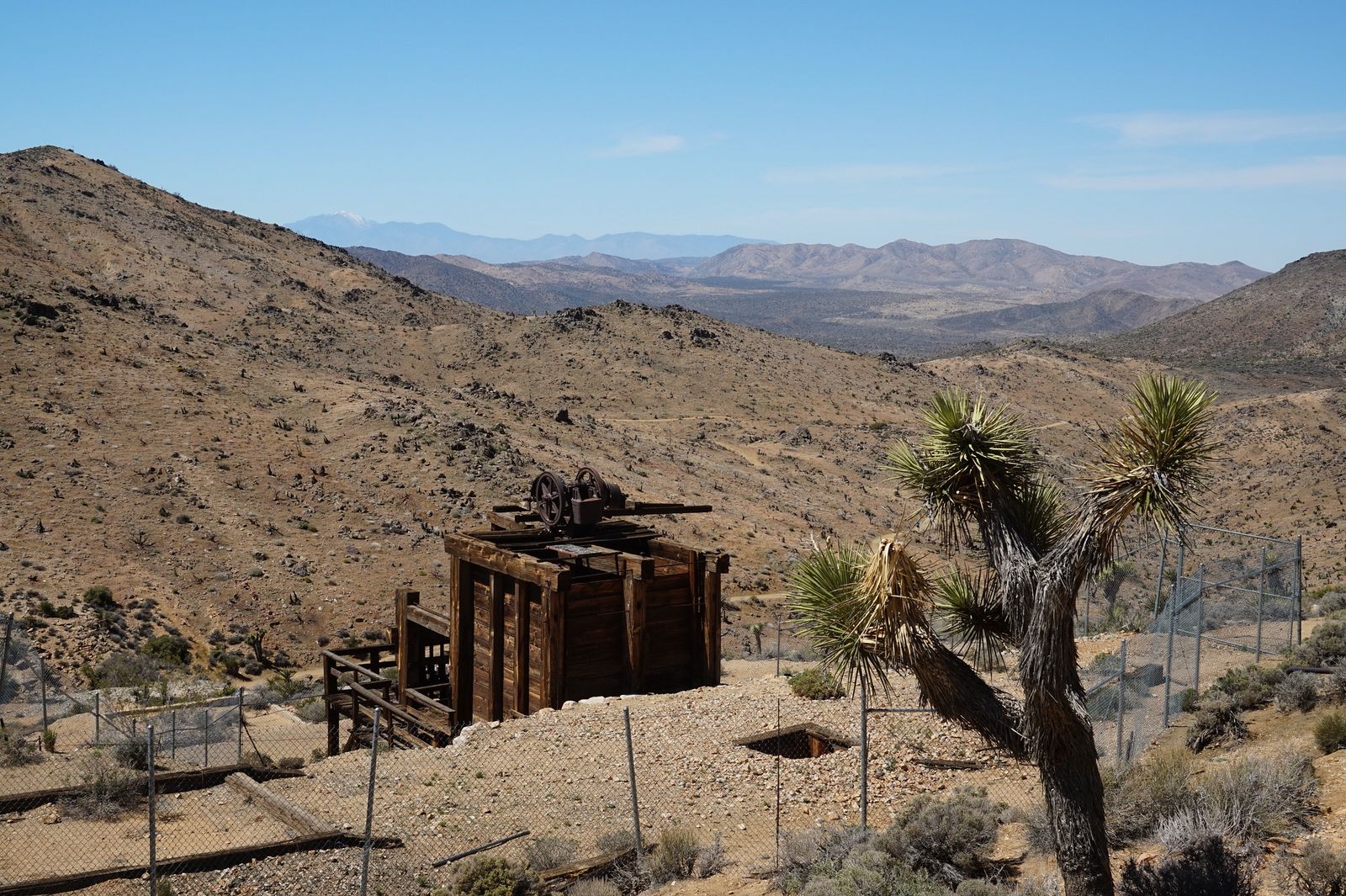
Lost Horse Mine Loop: Joshua Tree’s best historical hiking trail
A 6.7-mile loop with about 1,100 ft of gain to Gold Rush-era mine ruins and panoramic summit views, best attempted October through April given the exposed terrain and moderate distance. This is the pick for hikers who want real history alongside real elevation gain, the mine operated into the early 1900s, and the ruins are genuinely worth the extra mileage compared to a view-only summit hike.
Best difficult hiking trails in Joshua Tree National Park
Boy Scout Trail: Joshua Tree’s best long day hike
A full 16 miles one-way through sand wash and boulder terrain in the Wonderland of Rocks, or roughly 8 miles round trip to the key landmarks and back for a shorter version that skips the full traverse. One-way hikers need a shuttle or a second vehicle staged at the far trailhead, and there’s no water anywhere on the route; carry everything you’ll need for the full distance, with real margin built in.
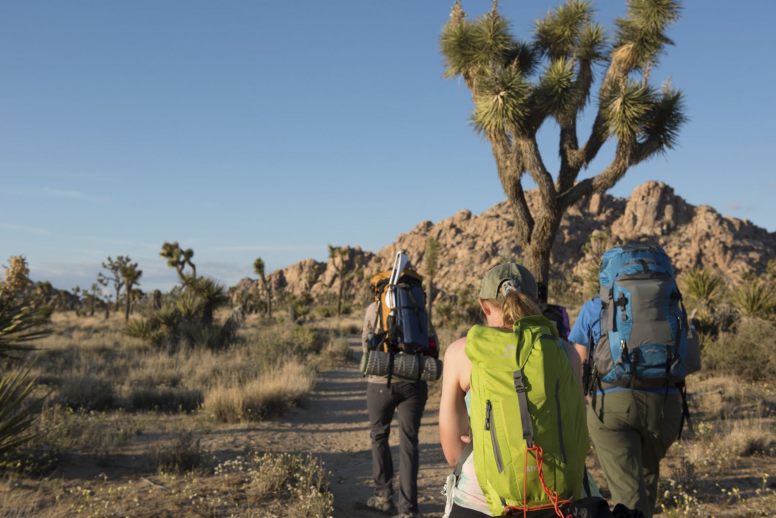
Overnight backpackers along this route need a permit specifically for the Boy Scout Zone and must camp in a designated site rather than choosing their own spot.
Joshua Tree hiking safety: desert rules you must follow
Desert hiking punishes the same mistakes every season, underestimating water needs and underestimating heat, more than any specific trail’s difficulty rating does.
How much water to carry for hiking in Joshua Tree
All water sources in the park are reserved for wildlife, so you carry everything you’ll drink from the trailhead, there’s no refilling along the way, regardless of how long your hike runs. NPS and park guides commonly recommend at least a gallon of water per person per day for typical conditions, more in summer heat.
Rangers with the park’s Preventive Search and Rescue program routinely check in with hikers at popular trailheads specifically about water supply. For longer backcountry trips, caching water and food ahead of time along your planned route is a legitimate strategy the park explicitly allows. Wading or soaking in desert springs is highly prohibited, as detailed in our water hazards guide.
Joshua Tree hiking trail map: how to navigate the park
Free paper trail maps are available at visitor centers and are worth grabbing even if you’re planning to navigate digitally, since cell signal is unreliable across most of the park and a paper backup costs nothing. You can also buy topographic paper trail maps or carry a rugged handheld GPS unit to trace backcountry routes.
AllTrails works well for popular, well-marked routes, but a downloaded offline map through Gaia GPS or a similar topo-based app is more reliable for anything in the backcountry or off the main tourist loop, where AllTrails’ crowd-sourced data thins out considerably. Before heading out, consulting a detailed Joshua Tree map and trail guide will help you choose the right route for your skill level.
When to hike in Joshua Tree: a seasonal planning guide
Peak season runs October through April, with comfortable 60–80°F temperatures that make full-day hikes genuinely enjoyable rather than an endurance test. Summer temperatures regularly push past 100°F with essentially no shade on most trails, and the park itself advises against long hikes during summer daylight hours, short trails before 9 a.m. are the realistic summer option, not a full-day route.
Winter brings cold nights and occasional snow at higher elevations, which surprises visitors expecting desert heat year-round.
Spring wildflower season in Joshua Tree: the best time for scenic hiking
Wildflower bloom typically runs February through April, but the intensity depends almost entirely on rainfall the preceding October and November, a wet fall means poppies, desert dandelion, and phacelia carpeting the desert floor; a dry one means a thin, easy-to-miss bloom that barely registers against the surrounding rock and sand.
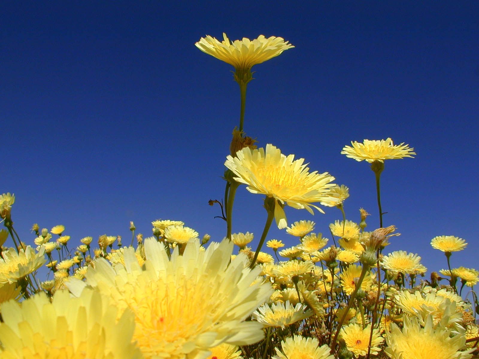
Even the cholla cactus flowers during a good bloom year, adding an unexpected splash of color to a plant mostly known for its spines. Check current bloom reports before planning a trip specifically around wildflowers, since the time genuinely shifts year to year.
Pet constraints in Joshua Tree: hiking with dogs
Dogs are welcome in campgrounds, picnic areas, and along paved roads, but they are strictly barred from all unpaved trails and backcountry zones. This rule exists to protect native desert bighorn sheep and other wildlife, as well as to keep your dog safe from cacti, rattlesnakes, and intense heat. For a detailed breakdown of dog-friendly areas, read our hiking with dogs guide and review general park trail etiquette.
Joshua Tree’s trails reward a little planning far more than their easy elevation profiles suggest, the desert doesn’t care how short your hike looks on a map if you’re out of water by mile two. Match your trail to the season, carry more water than feels necessary, and the park’s genuinely strange, beautiful terrain does the rest. Few places in California pack this much visual variety into trails this short.
Frequently asked questions about hiking in Joshua Tree National Park
What are the best hiking trails in Joshua Tree National Park?
For most visitors: Skull Rock or Cholla Cactus Garden for an easy first stop, Ryan Mountain for the best view-to-effort ratio, and the Boy Scout Trail for a serious full-day challenge through the Wonderland of Rocks.
What is the Joshua Tree hiking trails map and where do I get it?
Free paper maps are available at any park visitor center. For digital navigation, AllTrails covers popular routes well, but a downloaded offline topo map through an app like Gaia GPS is more reliable given the park’s unreliable cell signal.
How much water should I bring hiking in Joshua Tree?
At least a gallon of water per person per day for typical conditions, more in summer heat, since no water sources exist along any trail in the park. Cache extra water and food ahead of time for longer backcountry trips.