Best Hiking Trails in Death Valley National Park
Death Valley holds the record for the hottest air temperature ever measured on Earth: 134°F, recorded at Furnace Creek in July 1913, and it’s also home to Badwater Basin, 282 feet below sea level and the lowest point in North America. That combination of extremes is exactly why the best hiking trails in Death Valley National Park are so remarkable: salt flats, slot canyons, dunes, and a summit over 11,000 feet, all inside one 3.4-million-acre park that’s larger than the state of Connecticut.
Disclosure: Please note that some of the links below are affiliate links and at no additional cost to you, I may earn a commission. Know that I only recommend hiking gear I personally stand behind; when you use my affiliate links, it helps me run this blog and keep all of this content free of charge for readers (like you).
It’s also why timing your visit matters more here than at almost any other trail in this state; the same trail that’s a genuine pleasure in January can be a real hazard in July. Before setting out on any of these routes, having a reliable, detailed Death Valley park map and trip planner is essential for navigating distances and remote trailheads. See how Death Valley compares to other California parks in our national parks hiking guide.
Key takeaways:
- Never hike below 5,000 ft between May and September. This is the one non-negotiable rule of Death Valley hiking, and NPS itself is direct about it.
- The best hiking window is November through March, when daytime temperatures sit in a genuinely comfortable 60–80°F range.
- Water needs scale with season, not just distance: at least 2 liters for a short winter day hike, a full gallon or more for longer warm-season routes.
- Darwin Falls’ access changed after recent flood damage; the hike is now 7 miles round trip from a roadside pullout, not the shorter drive-in approach some older guides still describe.
- Telescope Peak, the park’s highest point at 11,049 ft, needs an ice axe and crampons if you’re attempting it while snow is still on the summit.
Why Death Valley’s hiking trails are unlike any other in California
Most California hiking guides warn you about elevation gain or afternoon thunderstorms. Death Valley’s hiking calculus is different: heat is the primary hazard, and it’s severe enough that the park’s own guidance treats it as a life-safety issue, not just a comfort one. Once you accept that the rules here are genuinely different from a Sierra trailhead, the hiking itself is some of the most striking in the state.
The golden rule of Death Valley hiking: never hike in summer
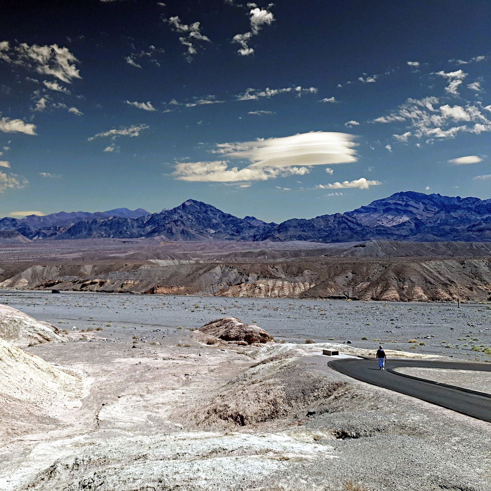
The National Park Service (NPS) is blunt about this: save low-elevation hikes for the cooler months, because summer heat at the valley floor can turn dangerous within a short window, even for fit, well-prepared hikers.
Even spring and fall can run hot enough to catch people off guard. If you’re visiting between May and September, treat any low-elevation trail as off-limits during the day and stick to early morning if you hike at all.
Best easy hiking trails in Death Valley National Park
Easy in Death Valley still means “respect the heat”. These trails are short and flat, not consequence-free.
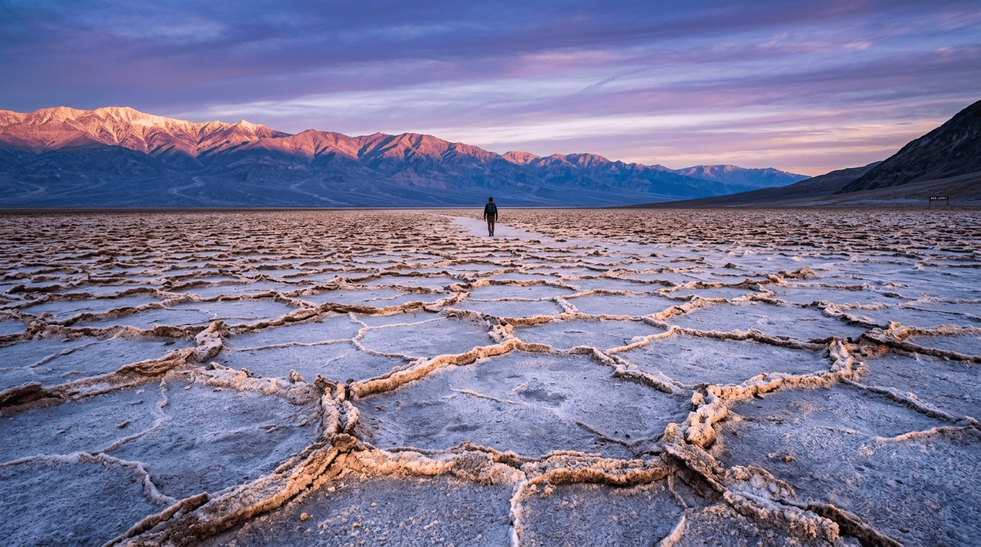
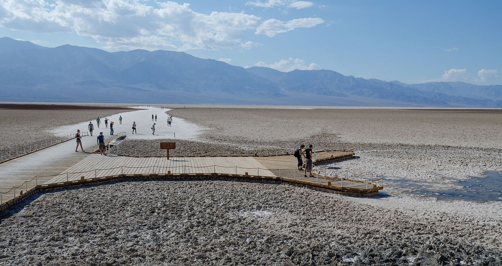
Badwater Basin: walking on the lowest point in North America
The walk out to the edge of the salt flat is 1 mile round trip and completely flat, though you can keep going up to 5 miles each way if you want to reach the far side of the basin. The hexagonal salt formations are the draw, and they photograph best at sunrise before the crowds and the heat both build. NPS’s own trail notes are direct on this one: don’t attempt it when it’s hot.
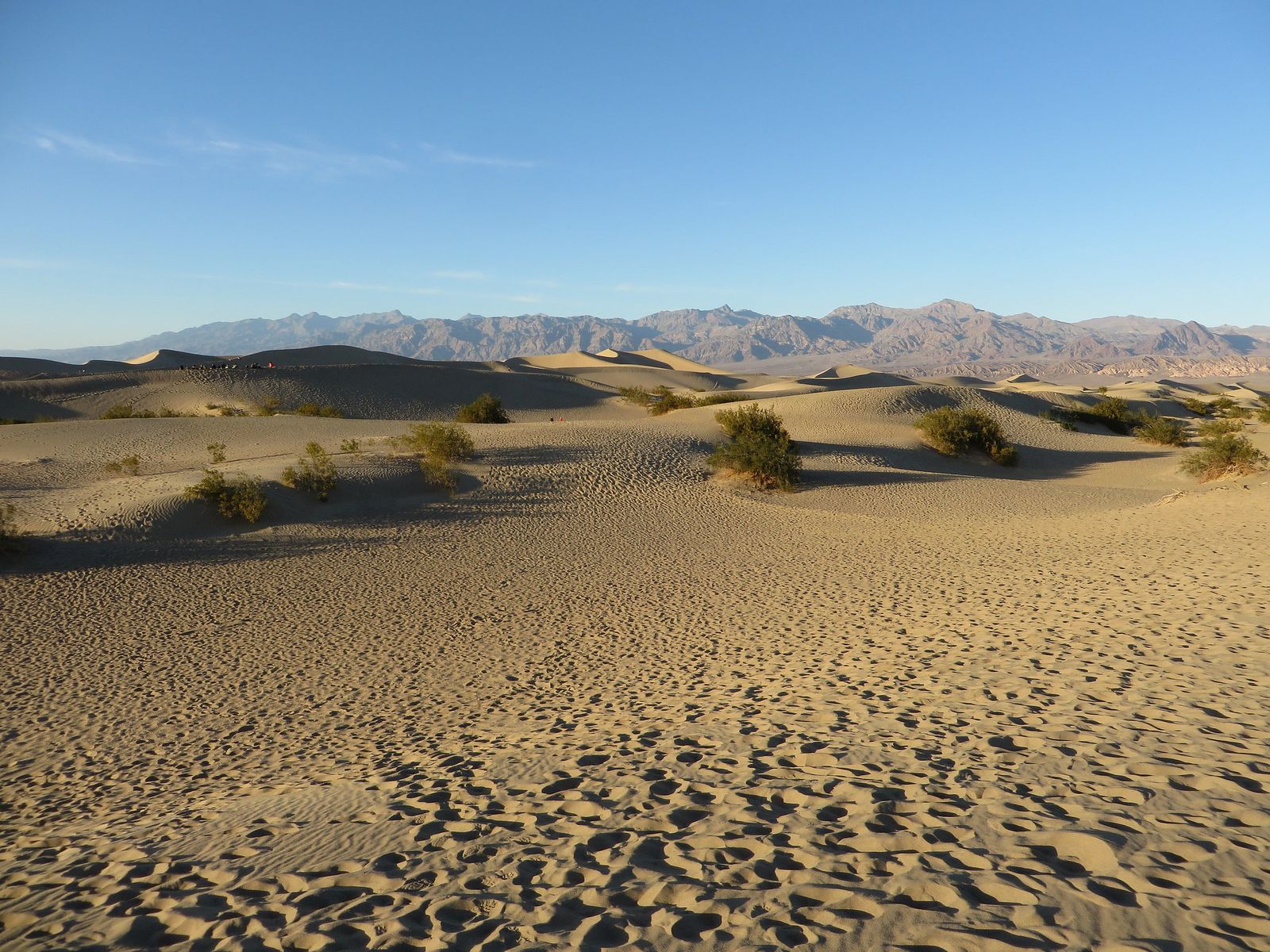
Mesquite Flat Sand Dunes: Death Valley’s most photographed easy walk
There’s no formal trail here; you pick your own line across roughly 2 miles round trip to reach the summit of the highest dune, gaining about 185 ft along the way. Sunrise and sunset both throw long shadows across the ripples that make this spot so photogenic, and neither trekking poles nor technical footwear are necessary on the soft sand.
Darwin Falls: Death Valley’s hidden oasis waterfall hike
This is the park’s surprise: a genuine year-round waterfall and lush, spring-fed vegetation tucked inside an otherwise bone-dry canyon. One important update if you’ve seen this hike described elsewhere as a short 2-mile stroll: recent flood damage has changed the access entirely.
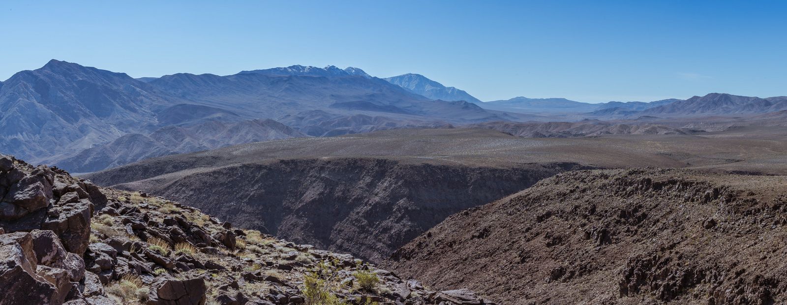
Visitors now park on the shoulder of CA-190 and hike in from there, which makes the current round trip closer to 7 miles with about 450 ft of elevation gain, over heavily eroded terrain with unstable edges in places. Budget real time for this one, and treat it as a moderate hike rather than a quick add-on.
Best moderate hiking trails in Death Valley National Park
These trails ask more of you than the easy list, but nothing here requires technical skill just fitness, water, and good timing. If you want a third moderate option beyond the two below, Ubehebe Crater Loop is worth knowing about too: a 1.5-mile loop with 500 ft of gain around the rim of a genuine volcanic crater, though the exposed edges make it a poor choice for anyone uneasy with heights.
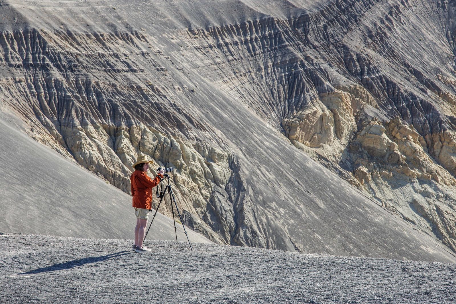
Golden Canyon to Gower Gulch loop: Death Valley’s best moderate hike
The Golden Canyon–Gower Gulch–Badlands network is really a flexible route system: pick a version anywhere from 3 to 8 miles depending on how far you continue, with the popular Gower Gulch loop option landing around 4.3 miles and 500-plus feet of gain. The route winds through golden badlands with the towering Red Cathedral formation as a centerpiece, and it’s at its best in the cooler months when you can actually take your time in it.
Mosaic Canyon: Death Valley’s best slot canyon hike
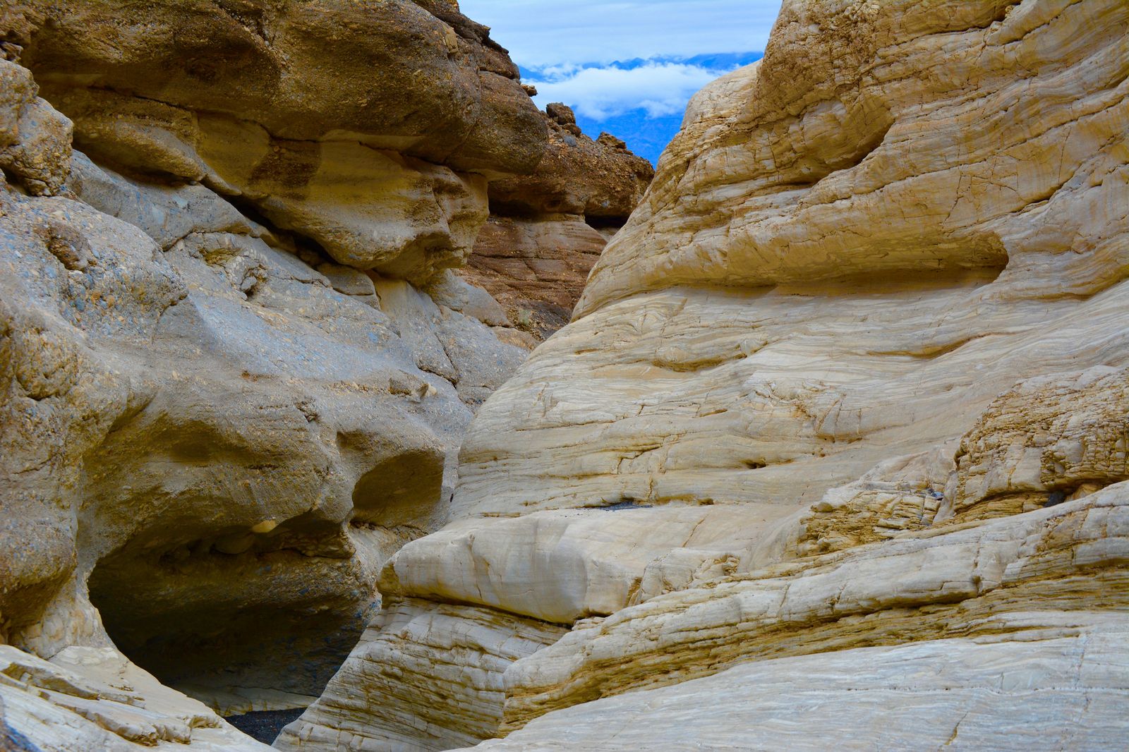
At about 4 miles round-trip from the Chaparral trailhead area (actually located off the Stovepipe Wells corridor), Mosaic Canyon offers a polished marble narrows walk-through. The canyon’s smooth, water-carved walls are the whole point here, a genuinely different texture than anywhere else on this list.
Best difficult hiking trails in Death Valley National Park
Death Valley’s hardest trails aren’t just longer versions of the easy ones; they’re a completely different kind of hike, closer to mountaineering than desert walking.
Telescope Peak: Death Valley’s most demanding summit hike
At 14 miles round trip with about 3,000 ft of gain from the Charcoal Kilns trailhead, Telescope Peak is Death Valley’s signature hard hike, and its 11,049 ft summit gives you the strange experience of looking down at the lowest point in North America from the park’s highest one.
October and November, before snow returns to the summit, are the best window for a straightforward hike. If you attempt it earlier or later in the snow season, NPS is specific that you need real winter gear an ice axe and crampons, not just warm layers to do it safely. You can find detailed elevation preparation tips in our high-elevation hiking guide and review grading in our hiking difficulty levels guide.
Death Valley hiking safety: the rules that could save your life
Every rule in this section exists because someone learned it the hard way, and Death Valley’s search-and-rescue statistics reflect that heat, not falls or wildlife, is the park’s real hazard.
How much water to bring for hiking in Death Valley
The park’s own guidance scales water to the season rather than giving one flat number: at least 2 liters for a short winter day hike, and a full gallon or more per person for longer hikes or anything in the warmer months, per NPS guidance. A simpler rule of thumb while you’re moving is roughly a liter per hour, rounded up rather than down. Check out our water hazards guide for details on hydration mechanics and electrolyte balances. Always pack the essentials from our hiking gear checklist to handle desert emergencies.
Know the early signs of heat illness before you’re dealing with them: headache, nausea, and unusual fatigue come first, well before the confusion or fainting that signal a real emergency. If you or anyone in your group hits that first stage, that’s your signal to turn around immediately rather than push to a summit or a viewpoint. Death Valley’s remoteness means help is genuinely far away, not a quick call away.
Best time of day and year to hike in Death Valley
November through March is the park’s real hiking season, with daytime highs typically in a comfortable 60–80°F band at low elevation. Outside that window, mornings are your only safe option at low elevation, and even then, plan to be off the trail well before midday.
The park’s higher terrain, including the Telescope Peak approach, is really the only place summer heat becomes a non-issue, trading one hazard (heat) for another (potential snow and ice, depending on the month). Make sure to practice Leave No Trace etiquette to keep the fragile desert badlands and dunes pristine.
Frequently asked questions about hiking in Death Valley National Park
What are the best hiking trails in Death Valley National Park?
Badwater Basin and Mesquite Flat Sand Dunes are the best easy options, Golden Canyon to Gower Gulch is the standout moderate hike, and Telescope Peak is the park’s premier difficult summit. Each one delivers a genuinely different landscape, from salt flats to slot canyons to an 11,000-foot peak.
Is it safe to hike in Death Valley in summer?
Not at low elevation, daytime heat between May and September can turn dangerous quickly, even for prepared hikers, which is why NPS advises against low-elevation hiking during the day in those months. If you must visit in summer, plan for a dawn start only and stay near your vehicle once temperatures climb.
How much water should I bring hiking in Death Valley?
At least 2 liters for a short winter day hike, and a full gallon or more per person for longer hikes or anything in the warmer months, per NPS guidance. A simpler rule of thumb while you’re moving is roughly a liter per hour, rounded up rather than down.