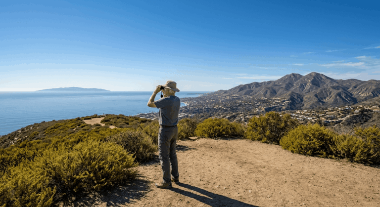
5 Best Hiking Trails for Sunset Views in San Diego County, From a Ten-Minute Walk-Up to a Twin-Summit Loop
This guide deliberately skips Cowles Mountain; it’s the summit everyone already knows from our all-levels guide, and San Diego has at least five other spots that earn a sunset trip on their own merits. These five range from a free, paved, ten-minute walk-up to a genuine 6-plus-mile twin-summit loop, so pick based on how much hike you actually want between you and golden hour. Discovering the best sunset hikes in San Diego is the ultimate way to close out your weekend.
Disclosure: Please note that some of the links below are affiliate links and at no additional cost to you, I may earn a commission. Know that I only recommend hiking gear I personally stand behind; when you use my affiliate links, it helps me run this blog and keep all of this content free of charge for readers (like you).
Key takeaways
- Least effort, maybe the best view: Mount Helix Park, free, mostly paved, under half a mile, with one of the most recognized sunset landmarks in the county.
- Quiet alternative to Cowles Mountain: Kwaay Paay Peak, a steeper, shorter climb to a comparable summit with a fraction of the crowd.
- Best ocean-facing sunset: Black Mountain in Carmel Valley, the only trail on this list where the sun actually sets into the Pacific from the summit.
- Best desert-facing sunset: Volcan Mountain near Julian, a rare summit where you can watch light fall across the Anza-Borrego Desert and the Salton Sea instead of the ocean.
- Longest, quietest payoff: Fortuna Mountain’s twin summits, a real workout that rewards you with a 360° panorama and noticeably fewer people.
- Every trail on this list shares one hard rule: know exactly when you’re turning around. A sunset hike means hiking down in fading or full dark, and that changes what “prepared” means.
How these five sunset trails compare
| Trail | Round-trip distance | Elevation gain | Difficulty | Best for |
|---|---|---|---|---|
| Mount Helix Park | Under 0.5 mi | ~150 ft | Very easy | Zero-effort, iconic landmark |
| Kwaay Paay Peak | ~2.5 mi | ~875-950 ft | Moderate-hard | Quiet Cowles Mountain alternative |
| Black Mountain (Carmel Valley) | ~3.4-5 mi (route-dependent) | ~750-800 ft | Moderate | Ocean-facing sunset |
| Volcan Mountain | ~5 mi | ~1,200-1,300 ft | Moderate-strenuous | Desert-facing sunset |
| Fortuna Mountain (twin summits) | ~6-7.4 mi | ~1,300-1,600 ft | Strenuous | Longest hike, quietest crowd |
Mount Helix Park Trail (La Mesa)
If you want a sunset view with essentially zero physical effort, this is it, Mount Helix is a genuine San Diego landmark, and you can be standing at the top ten minutes after parking.
Trailhead access and parking at Mount Helix Park, La Mesa
The park is free, maintained by a nonprofit foundation rather than the city, and open 365 days a year. Parking is the real constraint, not the hike: there’s a small lot near the top plus limited street parking along the winding access road, and it fills fast at golden hour specifically.
One scheduling detail worth knowing: the park’s own posted hours are 5:30 a.m. to 5:30 p.m. in winter and 5:30 a.m. to 7 p.m. in summer. San Diego’s summer sunsets run past 7:30 p.m., so on a June or July evening you may need to catch golden hour and head out before the sky hits its most dramatic color. Fall and spring visits line up with posted hours much more comfortably.
Difficulty, distance and elevation gain to the summit amphitheater
This is the shortest, easiest trail in this entire cluster: under half a mile on a paved path with about 150 feet of gain. You can drive most of the way and walk the last short stretch, or park at the base and walk the whole thing for a bit of exercise first.
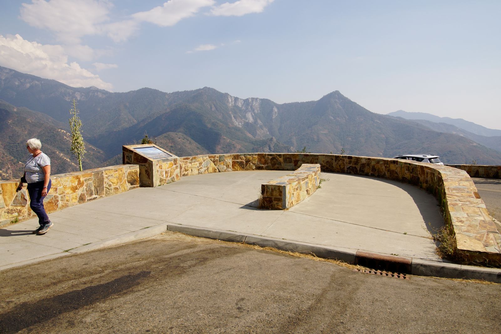
What you’ll see: the iconic Mount Helix cross and 360° East County views
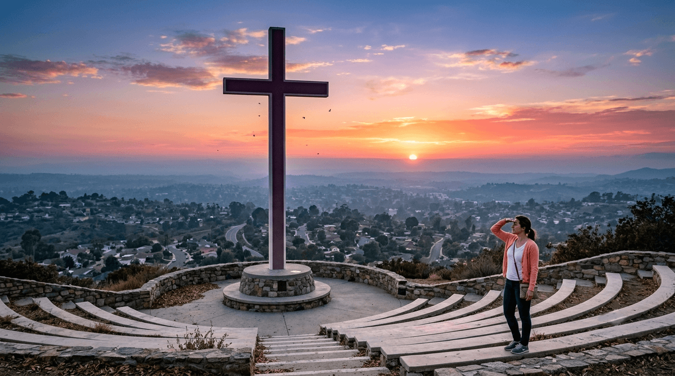
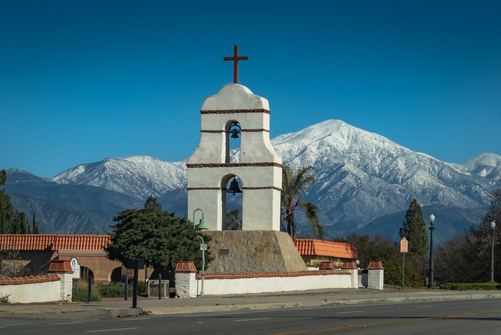
The 35-foot cross and 1,600-seat outdoor amphitheater date to 1925, sitting at roughly 1,365 feet with genuinely unobstructed 360-degree views over La Mesa, El Cajon, and the wider East County, on clear days, some visitors report seeing all the way to the coastline and Mexico.
Best time to hike Mount Helix for sunset: arrive 30 minutes early for parking
Given how short the walk is, parking is the actual bottleneck here, not fitness. Arrive at least 30 minutes before sunset if you want a spot anywhere near the top, and expect to circle or park further down the access road on popular weekend evenings.
Kwaay Paay Peak Trail (Mission Trails Regional Park)
This is the trail I send people to when they want the Cowles Mountain payoff without the Cowles Mountain crowd, same general park, a steeper and shorter climb, and a fraction of the foot traffic.
Trailhead access and parking at the Kumeyaay Lake Campground trailhead
Park near Kumeyaay Lake Campground and walk in along Father Junípero Serra Trail to the trailhead. The road into this area is gated, closing at 5 p.m. from November through March and 7 p.m. from April through October.
If you’re timing a sunset hike here in fall or winter, your car could genuinely get locked in past that hour, park on the street outside the gate instead of inside it if there’s any chance you’ll finish after closing.
Difficulty, distance and elevation gain to Kwaay Paay Peak
Expect about 2.5 miles round trip with roughly 875 to 950 feet of elevation gain to the 1,194-foot summit, a shorter distance than Cowles Mountain but a noticeably steeper grade, rated moderate to hard depending on your fitness.
What you’ll see: a quieter alternative to Cowles Mountain with the same sunset payoff
The summit view takes in Mission Gorge, Fortuna Mountain, and the wider San Diego River valley, genuinely comparable to Cowles Mountain’s panorama, just with a fraction of the people. Cowles Mountain itself is visible from here if you want the side-by-side comparison.
Best time to hike Kwaay Paay Peak: timed to descend before dark
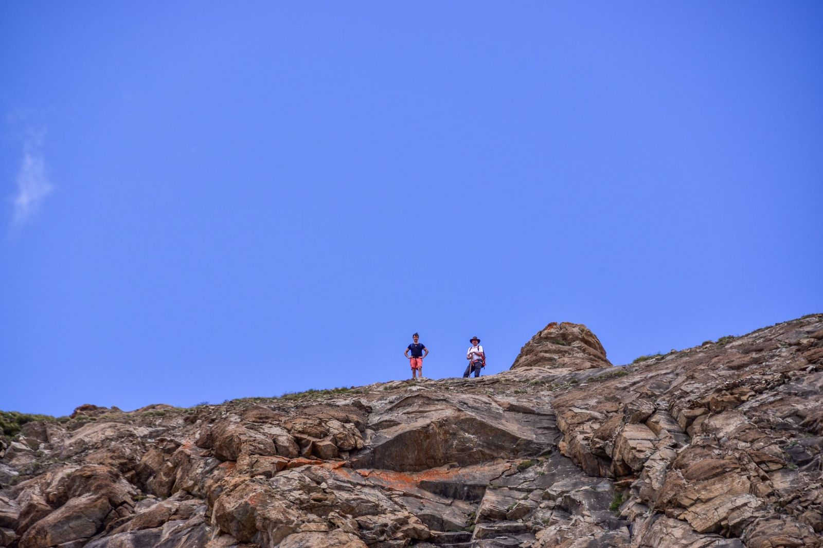
The descent is rocky and completely unlit. Time your hike so you’re back at the trailhead within 20-30 minutes of last light, or bring a headlamp and know the route well enough to use one safely, this isn’t a trail to improvise on in the dark.
Black Mountain Trail (Carmel Valley)
Quick disambiguation before anything else: San Diego County has two mountains named Black Mountain. This one is the 1,554-foot Black Mountain Open Space Park in the Carmel Valley/Rancho Peñasquitos area, not the much taller, more remote 4,048-foot “Big Black Mountain” out near Ramona in the Cleveland National Forest. Make sure your directions match the one you actually want.
Trailhead access and parking at Black Mountain Open Space Park
Several trailheads lead into the park; the Hilltop Community Park entrance and the Stargaze Avenue/Laurentian Drive entrance near Carmel Valley are the two most commonly used. Parking is free at both, and dogs are welcome on leash.
Difficulty, distance and elevation gain to the summit
Distance genuinely depends on which trailhead you pick, figure roughly 3.4 to 5 miles round trip with about 750 to 800 feet of elevation gain via the more direct routes, rated moderate. It’s a gradual, well-graded climb rather than a steep scramble.
What you’ll see: wide-open sunset views over Carmel Valley and the coast
This is the one trail on this list where the sun genuinely sets into the ocean from the summit, a real westward Pacific view, distinct from the inland-facing summits elsewhere in this guide. On clear days, you can also pick out Torrey Pines, Point Loma, and Mission Bay from the same spot; for more trails built specifically around this kind of payoff.
Best time to hike Black Mountain: golden hour over the Pacific
Coastal marine layer is a real factor here, San Diego’s characteristic June-gloom haze can blot out the payoff view entirely some evenings, so check current conditions rather than assuming a clear coastal sunset.
Volcan Mountain Preserve Trail (Julian)
Every other trail in this guide faces some version of the ocean or the city. Volcan Mountain does the opposite, and that’s exactly why it’s here.
Trailhead access and parking at the Volcan Mountain trailhead, Julian
Free roadside parking is available along Farmer Road just north of downtown Julian, marked by a distinctive sculptural wooden gate. There’s no formal lot, just a wide shoulder, don’t block driveways.
Difficulty, distance and elevation gain through oak and pine forest to the summit
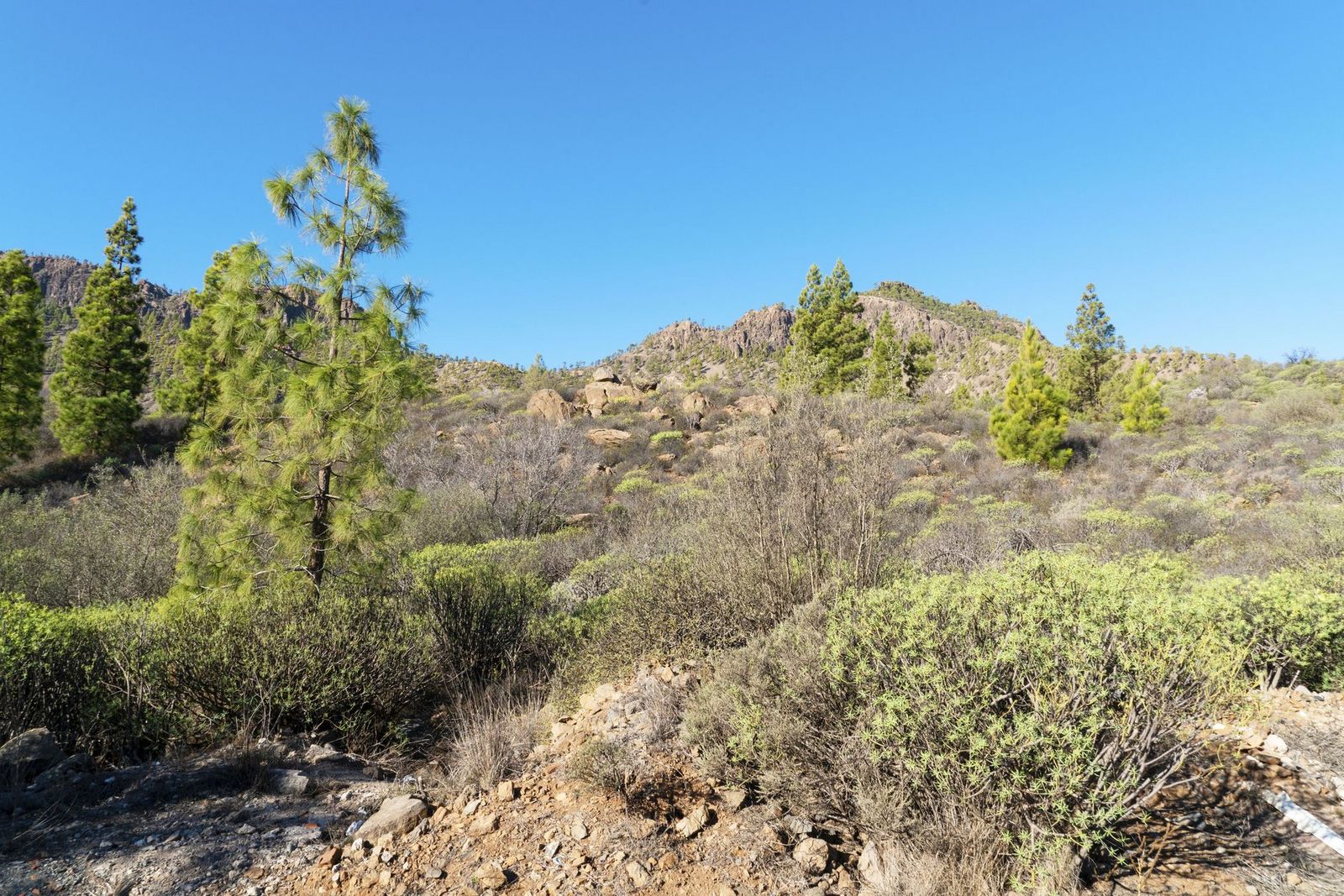
Plan on about 5 miles round trip with 1,200 to 1,300 feet of elevation gain through mixed oak-and-pine forest to the roughly 5,350-foot summit, the most physically demanding and highest-elevation trail in this post.
What you’ll see: sunset over the Anza-Borrego Desert and Salton Sea
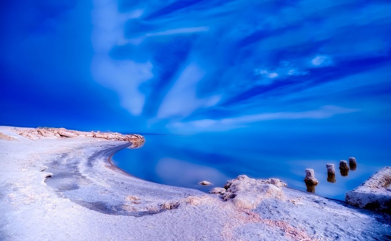
This is the rare San Diego County summit where, on a clear day, you can see the Pacific Ocean and the Salton Sea from the same spot, but the real draw for a sunset hike is watching the light fall across the desert basin rather than the water. That view stretches toward the Anza-Borrego Desert trails covered elsewhere in this cluster.
Best time to hike Volcan Mountain: fall for cooler air and clear skies
Fall’s cooler, haze-free air tends to produce the clearest long-distance views here. Worth knowing: the preserve closes trails after significant rain (more than half an inch) to let them dry out, so a recent storm can mean a closed gate even on an otherwise perfect evening.
Fortuna Mountain Trail (Mission Trails Regional Park)
This closes the list as the longest, most demanding sunset hike in the guide, a genuine two-summit outing for people who want real mileage along with their golden hour.
Trailhead access and parking at the Fortuna Mountain / Mast Park trailhead
The South Fortuna Staging Area at the end of Clairemont Mesa Boulevard is the most direct access point, with a dirt parking lot at the trailhead. Mast Park and the Kumeyaay Lake area offer alternate approaches into the same peaks from different sides of the park.
Difficulty, distance and elevation gain to Fortuna Mountain’s twin summits
Figure roughly 6 to 7.4 miles round trip linking both North and South Fortuna summits, with 1,300 to 1,600 feet of total elevation gain depending on the exact route, the longest trail in this post by a real margin, rated strenuous.
What you’ll see: a full-circle sunset panorama over Mission Trails
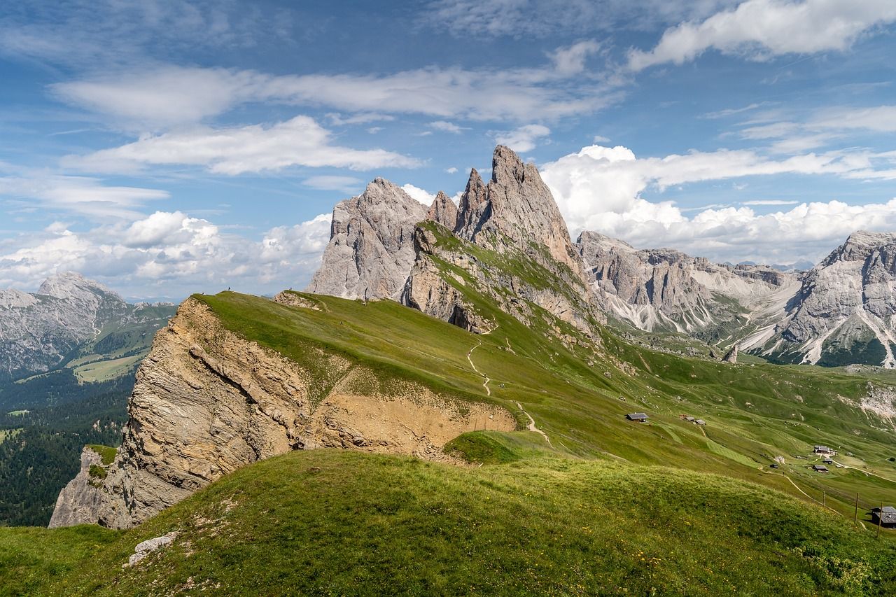
From North Fortuna’s 1,291-foot summit and South Fortuna’s 1,094-foot summit, you get a genuine 360-degree view taking in Cowles Mountain, Kwaay Paay Peak, and the San Diego River valley below, effectively tying together every Mission Trails summit covered across this cluster.
Best time to hike Fortuna Mountain: weeknights for a quiet sunset
This is consistently the quietest of the Mission Trails peaks, and weeknights push that even further. Given the distance and the mostly unlit terrain, a headlamp and a firm turnaround time matter more here than on any other trail in this post, for more on hiking after dark.
The bottom line
Start with Mount Helix if you want the payoff without the effort, or Kwaay Paay Peak if Cowles Mountain’s crowds have kept you away. Black Mountain and Volcan Mountain each offer something the others don’t, genuine ocean sunset and genuine desert sunset, respectively, and Fortuna Mountain is where to go once you want real mileage with your golden hour. This guide is part of our full San Diego County hiking hub, alongside our canyon trails guide if shaded, lower-elevation terrain fits your evening better than a summit.
Frequently asked questions about sunset-view hiking trails in San Diego County
What is the best hike in San Diego for sunset?
It depends what you want: Mount Helix Park is the easiest, most iconic option with essentially no hiking required. Black Mountain is the pick for a genuine ocean sunset, and Volcan Mountain is the pick if you want to watch light fall across the desert instead.
Is it safe to hike down in the dark after sunset?
Only with real preparation, a headlamp, a known route, and a firm sense of how long your descent will take. Trails like Kwaay Paay Peak and Fortuna Mountain have rocky, unlit descents that are genuinely harder to navigate safely after dark than they look in daylight.
Is Mount Helix free to visit?
Yes, it’s maintained by a nonprofit foundation rather than the city, but there’s no entrance fee. Parking near the summit is limited, though, especially at sunset.
What time should you start a sunset hike in San Diego?
Work backward from sunset time and your trail’s expected duration, then add a buffer for parking and photos at the top. For a 2.5-mile trail like Kwaay Paay Peak, starting about 90 minutes before sunset is a reasonable rule of thumb.
Which San Diego sunset hike has the least crowds?
Fortuna Mountain, by a clear margin, it’s the longest trail in this guide, which naturally filters out casual visitors, and weeknight visits push that further. Kwaay Paay Peak is the next-quietest option.
Do you need a flashlight or headlamp for a sunset hike?
Yes, for any trail longer than Mount Helix’s short paved path. Twilight fades faster than most people expect, and several of these trails (Kwaay Paay Peak, Fortuna Mountain) have genuinely unlit, rocky descents where a headlamp isn’t optional gear so much as a real safety requirement.