5 Best Hiking Trails in Muir Woods and Point Reyes, From 1,000-Year-Old Redwoods to a Wild Tule Elk Herd
Muir Woods and Point Reyes are Marin’s two biggest tourist draws for a reason, and they’re different enough from each other and from the Marin Headlands. This guide covers the hiking trails in Muir Woods with old-growth redwoods you’ll need a reservation to see, a lighthouse with over 300 steps down to it, and a peninsula where you’ll likely get closer to wild elk than you ever have to any large mammal.
Disclosure: Please note that some of the links below are affiliate links and at no additional cost to you, I may earn a commission. Know that I only recommend hiking gear I personally stand behind; when you use my affiliate links, it helps me run this blog and keep all of this content free of charge for readers (like you).
Key takeaways:
- Best flagship hike: the Muir Woods Main Trail genuinely ancient coast redwoods on an accessible boardwalk, though it requires a reservation.
- Best quiet alternative: Ben Johnson Trail Loop the same redwood forest as the Main Trail, minus most of the crowd.
- Best wildlife-plus-history combo: Point Reyes Lighthouse Trail, a working 1870 lighthouse and some of the best winter gray whale watching on the California coast.
- Best large-mammal encounter: Tomales Point Trail, a free-roaming tule elk herd along dramatic, windswept bluffs.
- A real correction worth knowing before you go: Bear Valley Trail no longer leads to an intact “Arch Rock,” more on that below.
How these five trails compare
| Trail | Round-trip distance | Elevation gain | Difficulty | Best for |
|---|---|---|---|---|
| Muir Woods Main Trail | ~2 mi | ~30 ft | Very easy | Old-growth redwoods, accessible |
| Ben Johnson Trail Loop | ~4.2-4.5 mi | ~950-1,000 ft | Moderate | Quiet redwood alternative |
| Point Reyes Lighthouse Trail | ~0.8-1 mi (plus 300+ steps) | Minimal (steps only) | Easy-moderate | Lighthouse, winter whale watching |
| Tomales Point Trail | Up to ~9.5 mi | ~600-1,200 ft | Moderate-strenuous | Tule elk herd, bluff views |
| Bear Valley Trail (to the coast) | ~8-9.1 mi | Minimal | Moderate (distance) | Long, well-graded coastal walk |
Muir Woods Main Trail (Redwood Creek Trail)
This is the reason Muir Woods draws nearly a million visitors a year, a genuine old-growth coast redwood forest, twelve miles from the Golden Gate Bridge, reachable on a flat boardwalk.
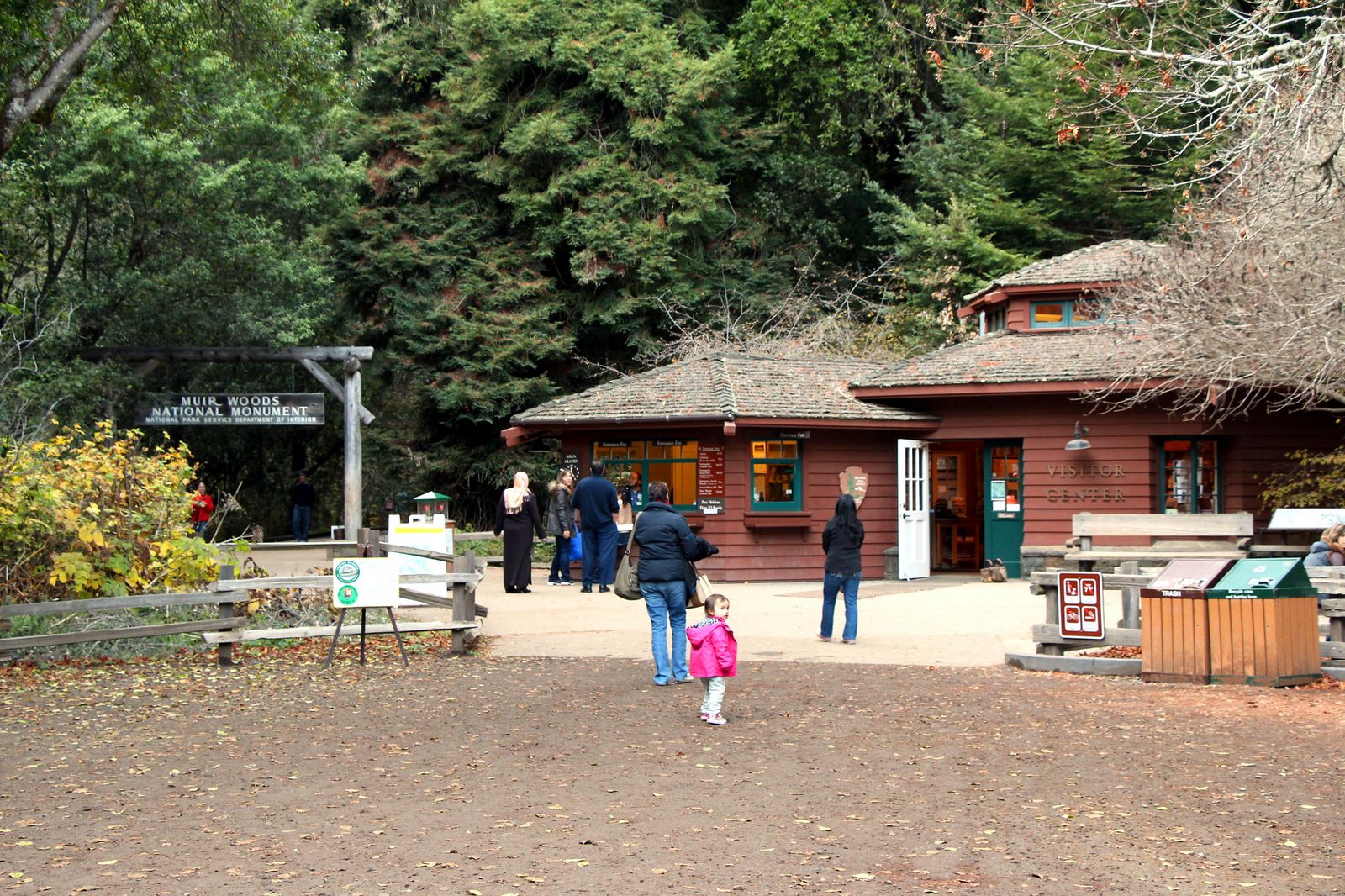
Trailhead access and parking at the Muir Woods Visitor Center (reservation and fee required)
Unlike every other trail in this guide, Muir Woods requires an advance parking or shuttle reservation for every vehicle, made at GoMuirWoods.com. Standard parking is $10, plus a separate $15 entrance fee per visitor age 16 and up (kids 15 and under are free). Arriving on foot or by bike skips the reservation, though the entrance fee still applies. Book early for weekends; reservations open 90 days out.
Difficulty, distance and elevation gain on the Main Trail boardwalk loop
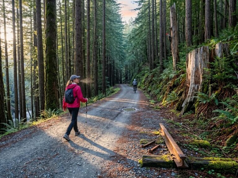
The Main Trail loop runs about 2 miles with roughly 30 feet of elevation gain, flat, boardwalk-and-paved-path walking that’s one of the most accessible old-growth forest experiences in California, with sections rated wheelchair-friendly.
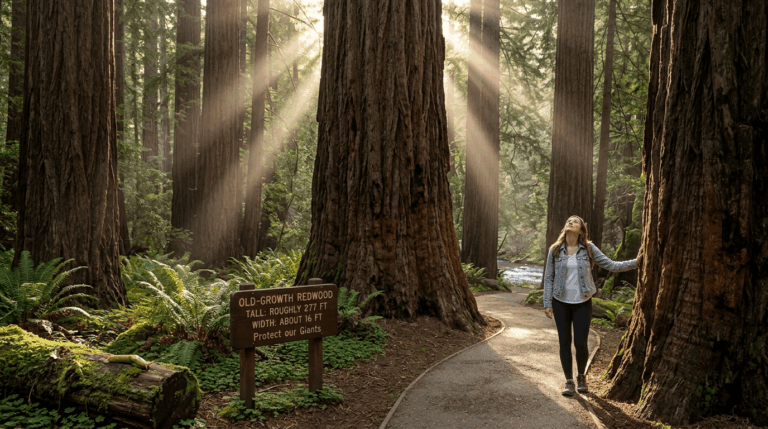
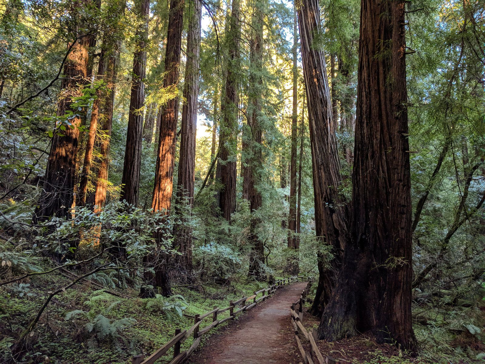
What you’ll see: old-growth coast redwoods over 1,000 years old
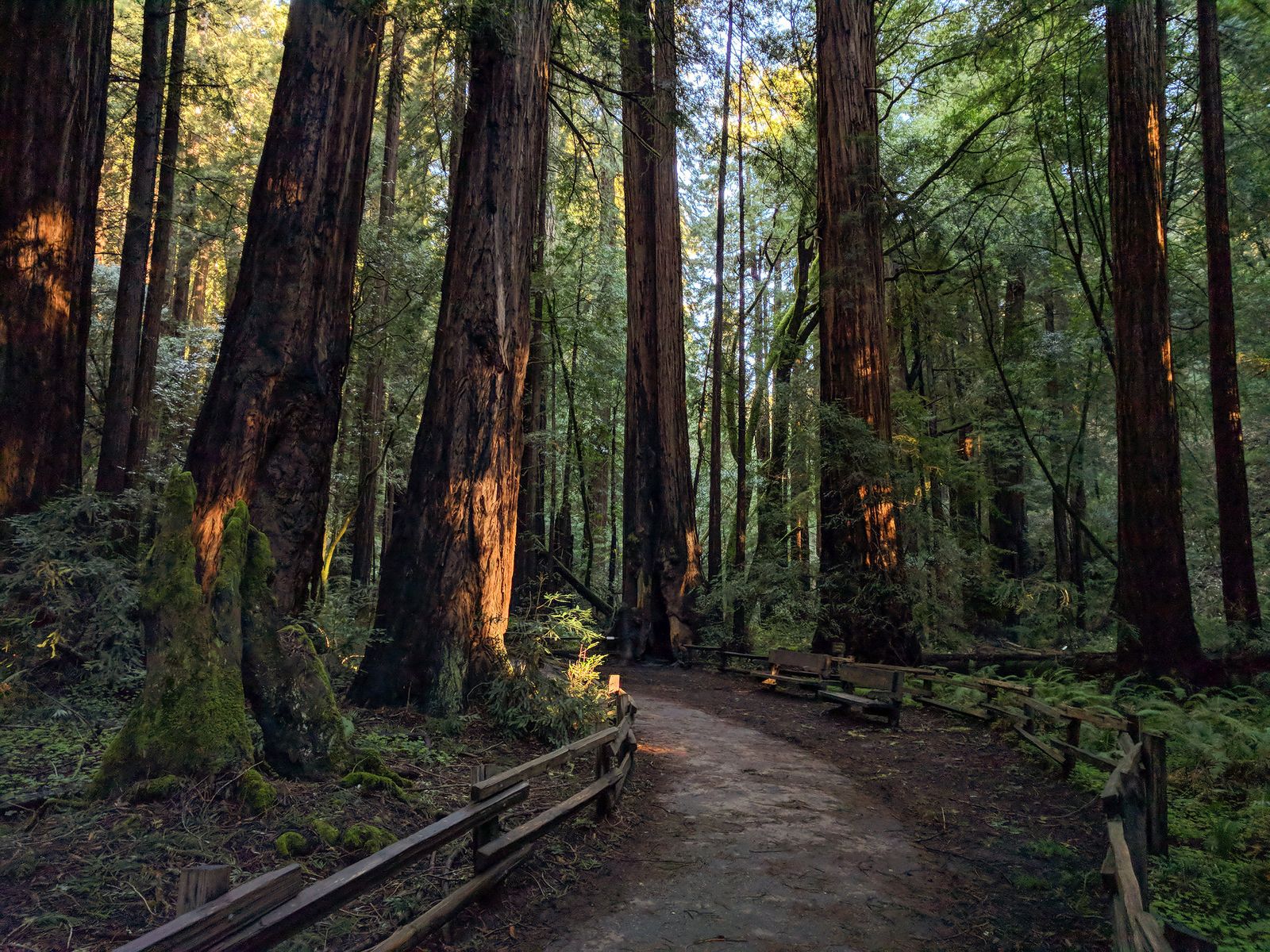
Some of the coast redwoods (Sequoia sempervirens) here are more than 1,000 years old and top 250 feet, following Redwood Creek on both sides of the boardwalk. These trees survived the widespread 19th- and 20th-century logging that cleared most of the Bay Area’s old growth, which is precisely why this specific grove became a national monument in 1908.
Best time to hike Muir Woods: early morning reservations beat the crowds
Book the earliest available reservation slot you can, ideally on a weekday between November and February. Weekend afternoons from May through October are consistently the most crowded window. Rain also thins the crowds substantially if you don’t mind a wet, quieter walk under the canopy.
Ben Johnson Trail Loop
If the Main Trail’s boardwalk felt too crowded, this is the same redwood ecosystem, reached from the same trailhead, but climbing up and away from the foot traffic almost immediately.
Trailhead access and parking at the Muir Woods Visitor Center
This trail departs from the same reservation-gated Muir Woods Visitor Center as the Main Trail; no separate reservation or fee applies beyond standard Muir Woods entry. One current note: as of mid-2026, a connector in this network (Hillside Trail) has had a temporary partial closure, so confirm routing on the park’s conditions page before you commit to a specific loop.
Difficulty, distance and elevation gain on the Ben Johnson Loop
The standard Ben Johnson-to-Dipsea loop from the Muir Woods trailhead runs about 4.2 to 4.5 miles with roughly 950 to 1,000 feet of elevation gain, a genuinely moderate step up from the flat Main Trail, with switchbacks climbing through uniform redwood stands.
What you’ll see: a quieter redwood canyon above the crowded Main Trail
You’re in the same old-growth ecosystem as the Main Trail for the first stretch, but once the loop climbs past the boardwalk, the crowds thin out fast. This is the trail for people who want the redwoods without shuffling behind a line of tourists.
Best time to hike the Ben Johnson Trail: an uncrowded alternative most days
Because it requires real climbing, this loop naturally filters out the casual boardwalk crowd almost any day of the week. You don’t need to time this one around off-peak hours the way you do the Main Trail.
Point Reyes Lighthouse Trail
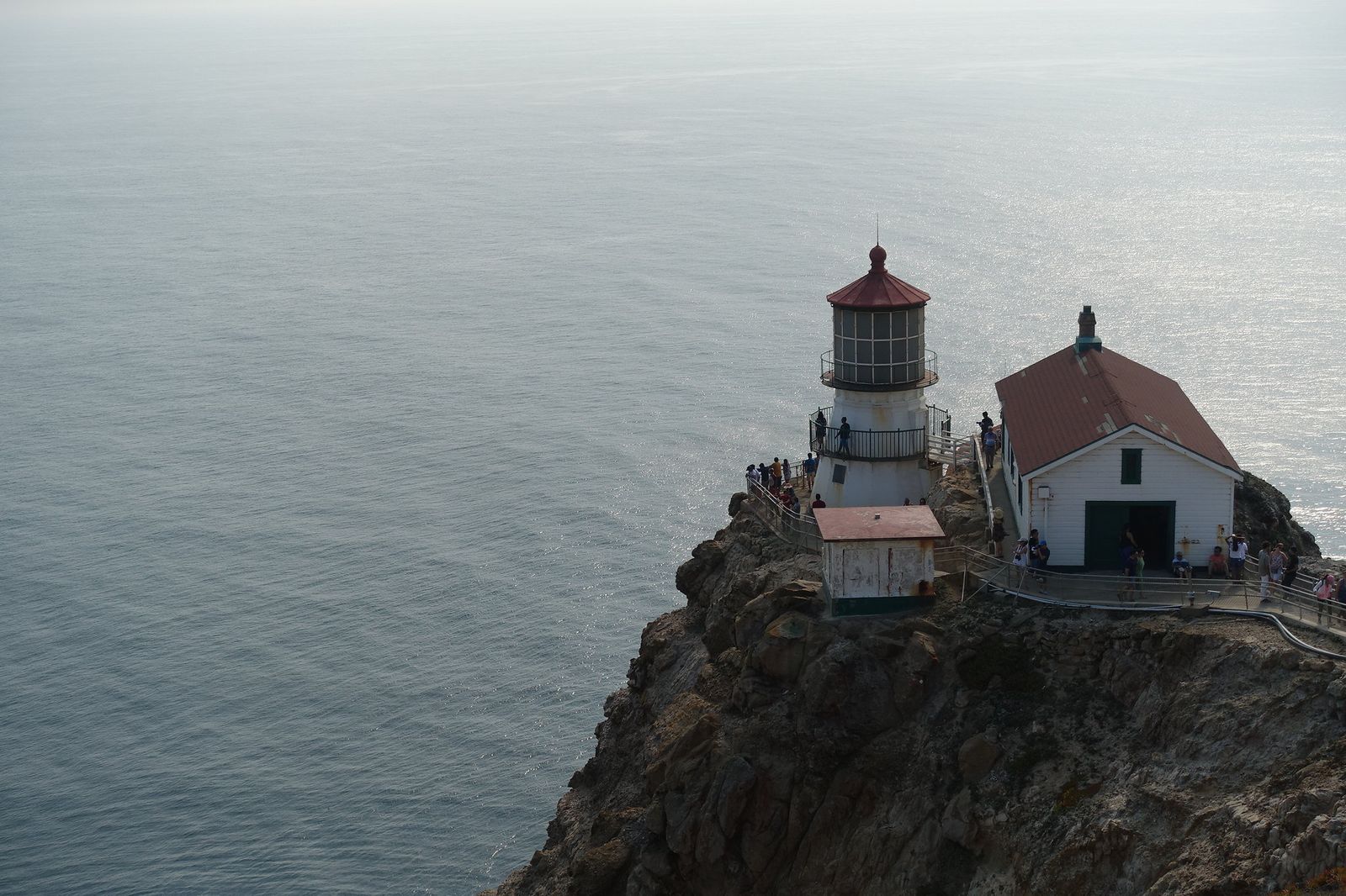
This is the trail for anyone chasing the classic Point Reyes photo: a working lighthouse perched on one of the windiest, foggiest points on the West Coast.
Trailhead access and parking at the Point Reyes Lighthouse Visitor Center
Parking at the lighthouse lot is free, a real contrast to Muir Woods’ reservation system, though it’s roughly an hour’s drive further out from Bear Valley. One scheduling detail: the stairs down to the lighthouse and the Lighthouse Visitor Center are only open Thursday through Monday, 10 a.m. to 4 p.m. (closed Tuesday and Wednesday), and the stairs close entirely above 40 mph winds, a real possibility here, so it’s worth checking the NPS Point Reyes Lighthouse page for current conditions before you drive out. The shuttle bus once used to manage winter whale-season crowds has also been indefinitely suspended, so expect packed lots on winter weekends.
Difficulty, distance and elevation gain down to the lighthouse
The walk from the parking lot to the top of the stairs is under a mile round trip with essentially no elevation change; the real effort is the descent itself, over 300 steps (sources cite anywhere from 300 to 375 depending on how they count), and especially the climb back up, which is where most visitors actually feel it.
What you’ll see: a historic 1870 lighthouse and winter whale watching
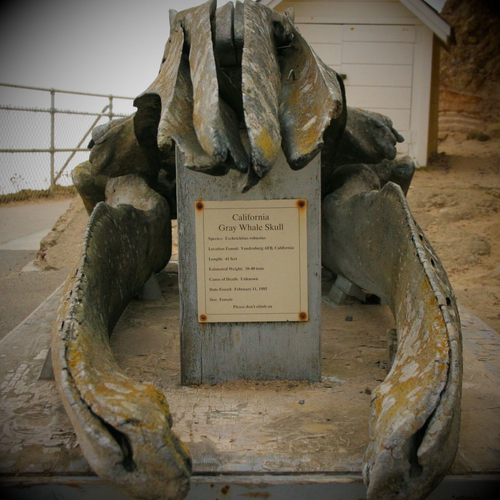
The lighthouse has guided ships past this point since 1870, and the observation deck near the stairs is one of the best whale-watching spots on the entire California coast. More than 30,000 gray whales pass this stretch during their annual migration.
Best time to hike the Lighthouse Trail: winter for gray whale migration
Gray whales migrate south past Point Reyes roughly from December through mid-February, then north again from mid-February through May, meaning the whale-watching window here genuinely spans most of winter and spring, not just a few weeks. Check the visitor center’s daily whale count board when you arrive.
Tomales Point Trail
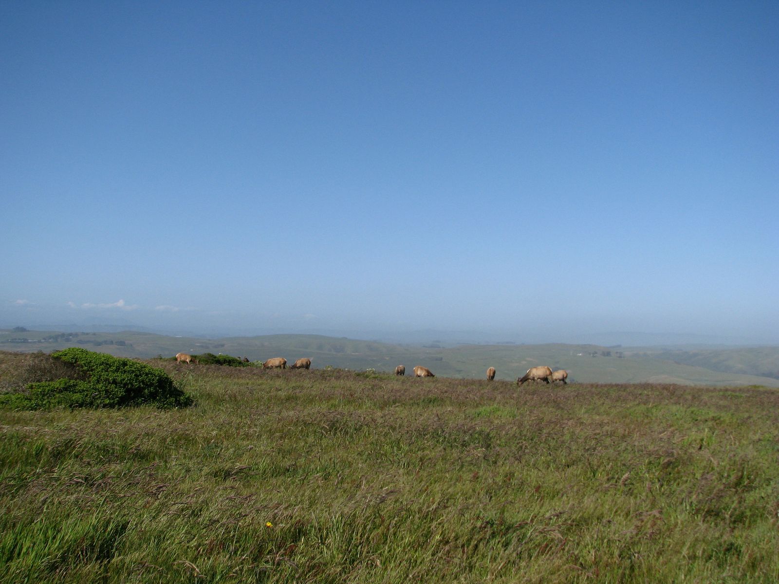
This closes out the wildlife side of this guide, a narrow, windswept peninsula at the very northern tip of Point Reyes, and the single best place in Marin County to see tule elk in the wild.
Trailhead access and parking at the Pierce Point Ranch trailhead
The trailhead sits at the historic, preserved Pierce Point Ranch, the most remote starting point in this guide, roughly 40 minutes of driving from the Bear Valley Visitor Center on narrow, winding roads. Parking is free, but there are no services out here: no gas, no food, and no reliable cell reception.
Difficulty, distance and elevation gain to Tomales Point
The full out-and-back to the tip of the peninsula runs about 9.5 miles round trip, with elevation gain estimates ranging from roughly 600 to 1,200 feet depending on the source, genuinely the longest trail in this guide if you go all the way, though the first 3 miles to the historic Lower Pierce Point Ranch site (a 6-mile round trip) make a perfectly good shorter option on their own.
What you’ll see: a free-roaming tule elk herd along dramatic bluffs
Tule elk exist nowhere else on Earth and were reduced to roughly 20 surviving animals statewide by the 1870s before conservation efforts brought the species back; several hundred now roam this specific reserve. One real safety note: these are large, genuinely dangerous wild animals, and people have been fatally gored after approaching too closely. Admire them with binoculars, not proximity.
Best time to hike Tomales Point: fall elk rut season
Bulls are most visible and vocal during the rut, roughly late summer through fall, when they bugle and spar for dominance. Spring adds wildflowers along the same route, and winter tends to bring the clearest long-distance views if fog cooperates. For more on handling wildlife encounters safely across the state, our wildlife hazards on California trails guide covers this in more depth.
Bear Valley Trail
I want to correct the framing of this trail before anything else: it’s often listed online as “Bear Valley Trail to Arch Rock,” and that destination hasn’t existed in its recognizable form for over a decade.
Trailhead access and parking at the Bear Valley Visitor Center
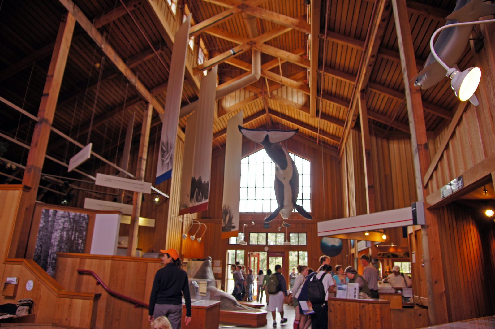
Bear Valley Visitor Center is Point Reyes’ main, most developed county: free parking (roughly 250 spots), restrooms, and the park’s primary information center, all in one place. It’s the easiest, most central starting point of any trail in this guide.
Difficulty, distance and elevation gain along Bear Valley Trail
The full trail to the coast runs about 8 to 9.1 miles round trip (sources vary slightly) with minimal elevation gain on a wide, well-graded multi-use path, an easy grade the whole way, popular with both hikers and cyclists, though the distance alone makes for a full day.
What you’ll see: the coast at the end of Bear Valley Trail and an important correction about Arch Rock
Here’s the correction: on March 21, 2015, the bluff above Arch Rock catastrophically collapsed, killing one hiker and critically injuring another. The overlook trail to the site has been closed indefinitely ever since, and the arch itself was effectively destroyed in the collapse; it’s gone, not just harder to reach.
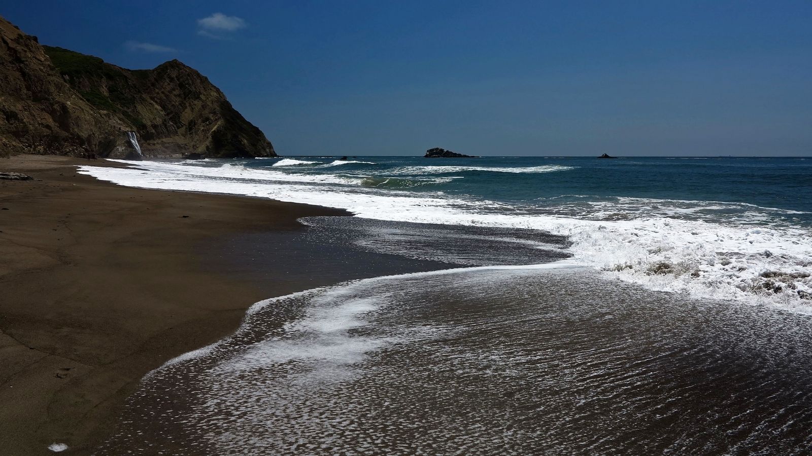
The National Park Service continues to consider the area unstable and dangerous. What Bear Valley Trail actually delivers today is a genuinely pleasant, well-shaded walk through diverse forest to where the trail meets the Coast Trail near the Pacific, worth doing on its own merits, just not for a landmark that no longer exists.
Best time to hike Bear Valley Trail: any season, but respect trail closures
This trail is open and worth hiking year-round. The one rule that matters more than timing: never leave the marked, maintained trail to seek out unofficial cliff-edge viewpoints anywhere in this park. The same bluff instability that caused the Arch Rock collapse is a general feature of this coastline, not a one-time event.
The bottom line
Start with the Muir Woods Main Trail if you’ve never seen old-growth redwoods, then add Ben Johnson Trail Loop the moment the boardwalk crowds get to you. Point Reyes deserves its own half-day at minimum; the Lighthouse Trail and Tomales Point cover genuinely different experiences (history and whales versus wild elk), and Bear Valley Trail is worth doing for the walk itself now that its old landmark destination is gone. To plan a full itinerary there, explore our complete Point Reyes trail guide.
This guide is part of our full Marin County hiking guide, alongside our Marin coastline trails guide if you want more of this region’s coastal hiking beyond Point Reyes specifically.
Frequently asked questions about hiking trails in Muir Woods and Point Reyes, Marin County
What is the best hiking trail in Muir Woods?
The Main Trail is the essential first visit for old-growth redwoods on an accessible boardwalk. If you want the same forest with far fewer people, the Ben Johnson Trail Loop is the better pick once you’re ready for real climbing.
What are the best hiking trails in Point Reyes?
The Point Reyes Lighthouse Trail and Tomales Point Trail are the two standout picks, one for history and winter whale watching, the other for guaranteed wild tule elk sightings along dramatic bluffs.
Do you need a reservation to visit Muir Woods?
Yes, for any vehicle or shuttle rider, parking and shuttle reservations are required year-round, in addition to a separate entrance fee. Arriving on foot or by bicycle is the only way to skip the reservation, though the entrance fee still applies.
Can you see whales from the Point Reyes Lighthouse?
Yes, it’s one of the best land-based whale-watching spots on the California coast, with gray whales passing during their migration roughly from December through May and peak sightings in winter.
Is Tomales Point Trail hard?
The full 9.5-mile round trip to the point is a genuine full-day undertaking, but the first 3 miles to the historic Lower Pierce Point Ranch site are well-maintained and make a solid 6-mile round-trip option for hikers who don’t want the full distance.
Is Arch Rock at Bear Valley Trail accessible at high tide?
It isn’t accessible at any tide. The bluff above Arch Rock collapsed fatally in 2015, and the overlook trail to the site has been closed indefinitely ever since. This isn’t a tide-dependent access question anymore; it’s a permanent closure.