5 Best Hiking Trails Near Lake Tahoe, Placer County, From a Chain of Alpine Lakes to a 360-Degree Basin View
This guide covers Best Hiking Trails Near Lake Tahoe, Placer County’s North and West Shore, the Placer County side of the lake, a genuinely different set of trails than our South Lake Tahoe guide in El Dorado County, and part of the same broader Lake Tahoe hiking trail network covered statewide elsewhere on this site. Granite basins, alpine lakes, and ski-resort-adjacent trailheads define this side of the lake more than the coastal-style bluffs the South Shore is known for. For lower-elevation trails in the same county, see our Auburn and Sierra Foothills guide; this guide is part of our full Placer County hiking guide.
Disclosure: Please note that some of the links below are affiliate links and at no additional cost to you, I may earn a commission. Know that I only recommend hiking gear I personally stand behind; when you use my affiliate links, it helps me run this blog and keep all of this content free of charge for readers (like you).
Key takeaways
- Most popular, arrive early: Five Lakes Trail, a granite basin dotted with alpine lakes (genuinely more than five of them), and one of the busiest short hikes on the North Shore.
- Best long-distance-trail connection: Granite Chief Trail, a direct link to both the Pacific Crest Trail and the Tahoe Rim Trail.
- Best lake-plus-summit combo: Ellis Peak, an alpine lake partway up, a full Tahoe view at the top, and no permit required despite what you may have read elsewhere.
- Best family-friendly option: Page Meadows, a gently graded loop through wildflower-filled meadows near Tahoe City.
- Best complete panorama: Twin Peaks, twin granite summits with a genuine 360-degree view of the entire Tahoe basin.
- None of these five trails require a National Forest Adventure Pass, that system applies to certain Southern California forests, not the Tahoe Basin or Tahoe National Forest, despite some trail guides suggesting otherwise.
How these five North/West Shore Tahoe trails compare
| Trail | Distance | Difficulty | Fee/Permit | Best for |
|---|---|---|---|---|
| Five Lakes Trail | ~4-5 mi round trip | Moderate | Free | Alpine lakes, popular |
| Granite Chief Trail | Variable (connects to PCT/TRT) | Moderate-strenuous | Free | Long-distance trail access |
| Ellis Peak Trail | ~6.3-7 mi round trip | Strenuous | Free | Lake + summit combo |
| Page Meadows Loop | ~3-4 mi (adjustable) | Easy | Free | Families, wildflowers |
| Twin Peaks Trail | Full-day round trip | Strenuous | Free | 360° basin panorama |
Five Lakes Trail (Alpine Meadows)
Trailhead access and parking off Alpine Meadows Road
A free roadside trailhead sits about 2 miles up Alpine Meadows Road, near the Alpine Meadows/Palisades Tahoe ski resort area, parking is limited to the road shoulder rather than a formal lot, and it fills up fast given how popular this trail is.
What you’ll see: a chain of small granite-basin lakes
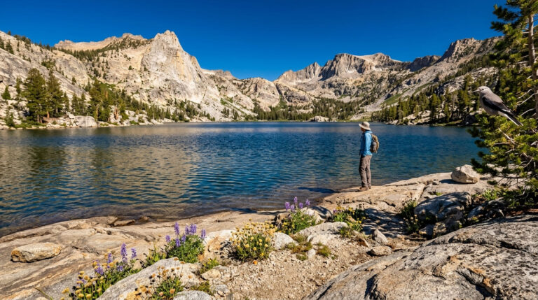
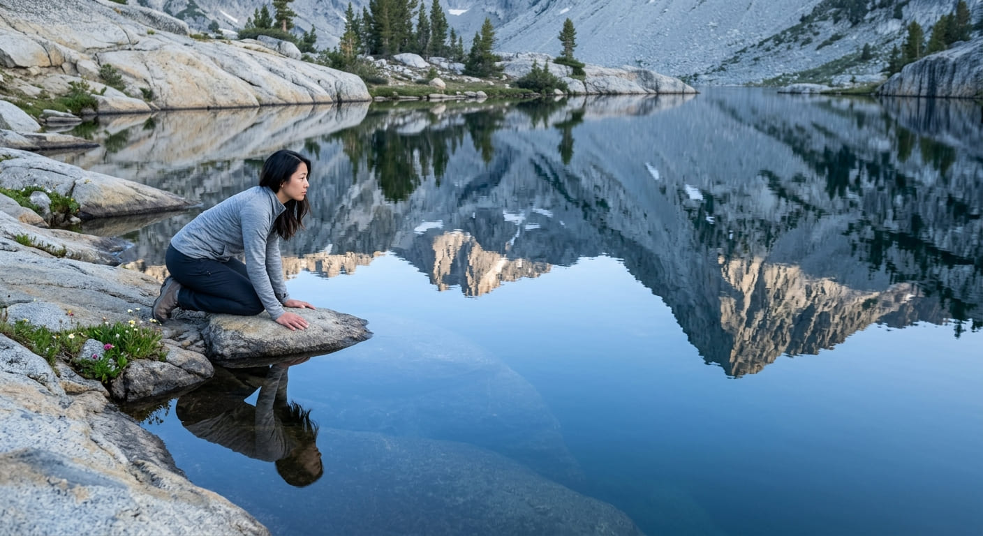
Despite the name, this trail passes more than five small alpine lakes and tarns tucked into a granite basin, a popular spot for a swim once you’ve made the roughly 900-to-1,000-foot climb to reach them, with views back toward Ward Peak and the Alpine Meadows ski runs along the way. The trail also crosses into the Granite Chief Wilderness near its far end, and connects onward to the Pacific Crest Trail for hikers who want to keep going.
Best time to hike Five Lakes: weekday mornings, a very popular trail
This is genuinely one of the busiest short hikes on the North Shore; weekday mornings are your best shot at a quiet visit, since weekend crowds here are a real, consistent factor.
Granite Chief Trail (Palisades Tahoe)
Trailhead access and parking at Palisades Tahoe (formerly Squaw Valley)
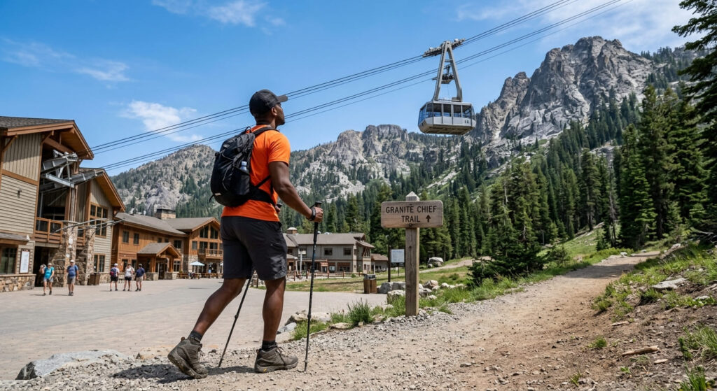
The trailhead sits at the base of Palisades Tahoe, renamed from Squaw Valley in September 2021, with free parking available; the resort’s aerial tram also offers a shortcut up if you’d rather skip the initial climb.
What you’ll see: a connector to the Tahoe Rim Trail and Pacific Crest Trail
This trail’s real distinction is its junction access, it connects directly to both the Pacific Crest Trail and the Tahoe Rim Trail. You can use Granite Chief as a short out-and-back or as the entry point to genuinely long-distance hiking.
Best time to hike Granite Chief Trail: summer, once high-elevation snow clears
Because the surrounding ridgelines sit at real elevation, snow can linger into early summer even after the town below feels fully warmed up, confirm current conditions before an early-season visit.
Ellis Peak Trail (Homewood)
Trailhead access and parking near Homewood, West Shore, no pass required
A Forest Service trailhead sits along Barker Pass Road near Homewood on the West Shore, with free parking. One correction worth making clearly: no National Forest Adventure Pass is required here, contrary to what some trail listings suggest, the Adventure Pass system applies to specific Southern California national forests, not the Tahoe National Forest or the Lake Tahoe Basin Management Unit that regulates this trail. No permit, no fee.
What you’ll see: an alpine lake and a summit view over Lake Tahoe’s West Shore
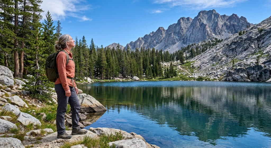
A short spur partway up leads to Ellis Lake, a genuine alpine lake stop, before the trail continues to the roughly 8,700-foot summit for sweeping views over Lake Tahoe’s West Shore and the Desolation Wilderness beyond.
Best time to hike Ellis Peak: midsummer for the fullest lake views
Ellis Lake’s water level, like most small alpine lakes fed primarily by snowmelt, is fullest in early-to-mid summer and can visibly recede later in a dry season.
Page Meadows Loop Trail (Tahoe City)
Trailhead access and parking near Tahoe City
A free trailhead near Tahoe City serves this trail, the most gently graded, family-manageable option in this entire guide, with several loop distances available depending on how much of the meadow network you want to cover.
What you’ll see: a chain of open meadows filled with summer wildflowers
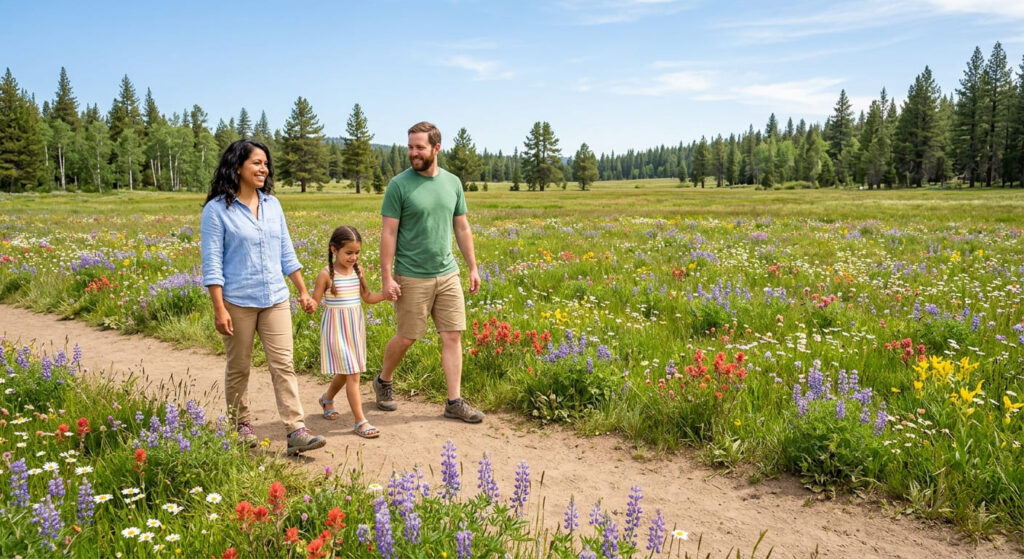
Connected open meadows here put on a genuine wildflower show each summer, a real contrast to the granite-and-lake landscape of the other trails in this guide, flat, open, and easy to navigate as a family outing.
Best time to hike Page Meadows: midsummer for peak wildflower bloom
Wildflower bloom typically peaks in midsummer, though the flat, easy grade makes this a pleasant walk across most of the snow-free season regardless of bloom timing.
Twin Peaks Trail (Ward Creek, Tahoe City)
Trailhead access and parking along Ward Creek Boulevard, no pass required
A Forest Service trailhead sits along Ward Creek Boulevard near Tahoe City. As with Ellis Peak, no National Forest Adventure Pass applies here, that fee system doesn’t extend to this part of the Sierra Nevada, whatever a given trail listing might claim.
What you’ll see: twin granite summits with 360-degree views of the Lake Tahoe basin
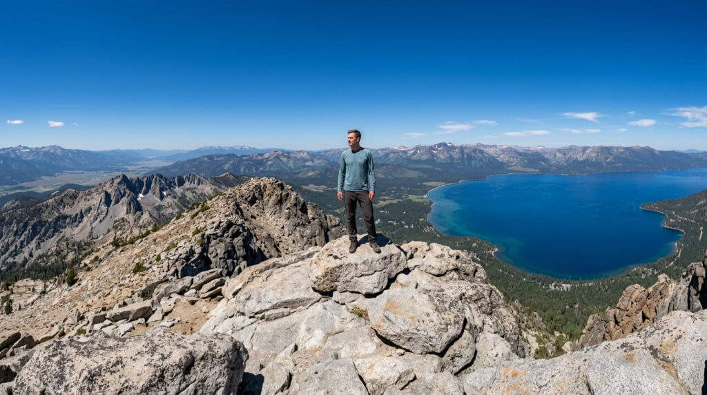
The two connected summits deliver the most complete single panorama in this entire guide, a genuine 360-degree view taking in the full Lake Tahoe basin, not just a partial angle on it, along with the Desolation Wilderness peaks to the south and the Truckee River basin to the north.
Best time to hike Twin Peaks: clear summer days for the farthest views
Since this trail’s entire appeal rests on unobstructed visibility, smoky or hazy summer days (a real possibility during wildfire season) can meaningfully diminish the payoff, check current air quality and visibility forecasts before committing to the full climb.
Frequently asked questions about hiking trails near Lake Tahoe, Placer County
Are Lake Tahoe hiking trails open?
Yes, all five trails in this guide are open and accessible during the snow-free season, typically summer through early fall depending on that year’s snowpack.
How many hiking trails are in Lake Tahoe?
The broader Lake Tahoe Basin has dozens of maintained trails across both the California and Nevada sides, this guide covers five specific to the Placer County North and West Shore.
Is the North Shore or South Shore better for hiking?
Both offer genuinely strong hiking; the North Shore (covered here) tends toward granite basins and alpine lakes, while the South Shore includes Emerald Bay’s well-known coastal-style views. Neither is objectively better, it depends what landscape you want.
Do you need an Adventure Pass for Placer County trails?
No, none of the five trails in this guide require a National Forest Adventure Pass. That system applies to certain Southern California national forests, not the Tahoe Basin.
Is Palisades Tahoe the same as Squaw Valley?
Yes, the resort was renamed from Squaw Valley to Palisades Tahoe in September 2021.
Which Placer County Tahoe trail has the best views?
Twin Peaks, for a complete 360-degree basin panorama, though Ellis Peak offers a comparable West Shore view with the bonus of an alpine lake along the way.