Where to Stay Near Lake Tahoe: A Hiker’s Guide to Every Shore, Sorted by Trailhead
Stay in South Lake Tahoe if Desolation Wilderness is the plan: Eagle Falls, Echo Lake, and Mt. Tallac are all a short drive away. Stay on the West Shore, around Tahoe City or Homewood, if Emerald Bay’s state park area and the Rubicon Trail are the priority; it shaves real miles off the drive that South Shore visitors have to make on Highway 89.
Disclosure: Please note that some of the links below are affiliate links and at no additional cost to you, I may earn a commission. Know that I only recommend hiking gear I personally stand behind; when you use my affiliate links, it helps me run this blog and keep all of this content free of charge for readers (like you).
And stay in Truckee if you’re chasing the Tahoe Rim Trail’s northern segments, where the historic downtown and easy interstate access matter more than lake frontage. To help you decide where to stay near Lake Tahoe, here’s how I’d split the basin, area by area.
Key takeaways:
- Closest to Desolation Wilderness: South Lake Tahoe, specifically near “the Y” (the Highway 50/89 junction) rather than the Stateline casino corridor, which sits several extra miles from the Eagle Falls trailhead.
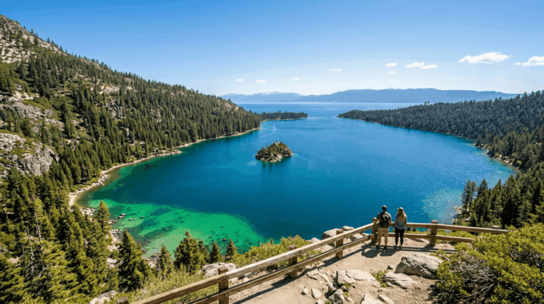
- Closest to Emerald Bay and D.L. Bliss: Tahoe City or Homewood on the West Shore. D.L. Bliss State Park just reopened in May 2026 after a three-year closure for infrastructure work, so this corner of the lake is worth another look if you wrote it off before.
- Closest to the Tahoe Rim Trail’s northern segments: Truckee, a historic railroad town about 14 miles inland from the lake itself, or Kings Beach/Tahoe Vista if you’d rather stay lakefront and closer to the Brockway Summit trailhead.
- New this season: A shuttle now runs to Emerald Bay’s Eagle Falls trailhead from both shores (mid-June through early September), and highway parking restrictions are being enforced there this summer: plan around it rather than counting on roadside parking.
- Camping is the budget lever: Unlike Yosemite’s unusual monthly release, Lake Tahoe campgrounds follow the standard 6-month rolling booking window on Recreation.gov and ReserveCalifornia: mark your calendar exactly 6 months out.
| Where to stay | Closest to | Drive to trailhead | Price tier | Best for |
|---|---|---|---|---|
| South Lake Tahoe (near the Y) | Eagle Falls, Bayview, Mt. Tallac trailheads | 10–15 min | $$–$$$ | Desolation Wilderness day hikes |
| Tahoe City / Homewood (West Shore) | Rubicon Trail, D.L. Bliss, Emerald Bay | 10–25 min | $$–$$$$ | Quieter base, Emerald Bay access |
| Truckee / North Shore | Tahoe Rim Trail (Tahoe City–Brockway Summit segment) | 20–35 min | $$–$$$ | Historic town, TRT northern segments |
| Camping (in-basin campgrounds) | Varies by campground | 0–20 min | $ | Tightest budgets, earliest starts |
South Lake Tahoe: closest to the Desolation Wilderness trailheads
Key features. South Lake Tahoe is the most developed lodging base on the California side, and it’s the shortest drive to the trio of Desolation Wilderness trailheads most hikers come for: Eagle Falls and Bayview (both off Highway 89 near Emerald Bay, about 8 miles from town) and Mt. Tallac (about 3.5 miles northwest, across from Baldwin Beach).
Where you stay within South Lake Tahoe actually matters here: properties clustered near “the Y,” like Camp Richardson Historic Resort or the motels along Emerald Bay Road, sit noticeably closer to those trailheads than the Stateline casino corridor at the Nevada border, which adds real minutes to an already-early morning. Camp Richardson also puts you within about a 10-minute drive of Emerald Bay itself.
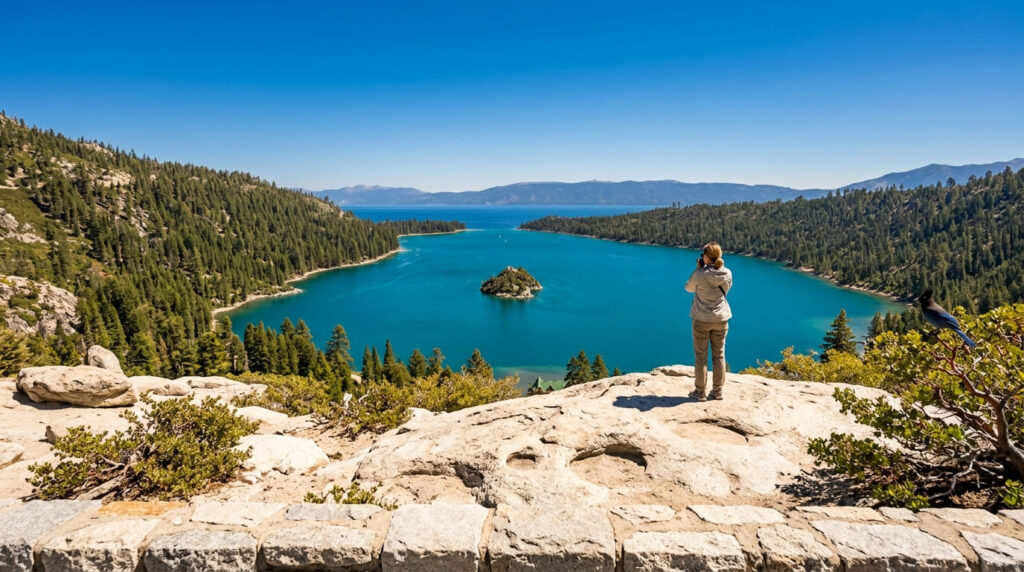
Best for. Hikers prioritizing Eagle Falls, the Velma/Dicks/Fontanillis lakes, or Mt. Tallac, all covered in our Desolation Wilderness trail guide alongside the rest of the El Dorado County hiking guide. One planning note worth knowing: day-use wilderness permits for Desolation are free and self-issued right at the trailhead, no reservation needed, but Eagle Falls and Pyramid Creek both charge a $5 day-use parking fee, and a new shuttle now runs to the Eagle Falls trailhead from both shores (mid-June through early September) as highway parking gets restricted at Emerald Bay this summer; worth using if you’re not there at opening.
Tahoe City and the West Shore: closest to Emerald Bay and D.L. Bliss
Key features. Tahoe City and the West Shore corridor running south toward Homewood and Sunnyside sit meaningfully closer to the Rubicon Trail, D.L. Bliss State Park, and Emerald Bay than South Lake Tahoe does; D.L. Bliss is 17 miles south of Tahoe City, and Homewood, roughly the halfway point, trims that down further. It’s also a quieter, less commercial feel than the South Shore strip.
The timing here matters: D.L. Bliss closed in 2023 for a full water-system rebuild and just reopened on May 21, 2026, so if you ruled it out for a Rubicon Trail trip in recent years, it’s genuinely back. Lester Beach, Calawee Cove, and the Rubicon Trailhead are all open again.
Lodging options range from Sunnyside Resort and Cottage Inn at Lake Tahoe near town to the smaller West Shore Cafe and Inn down in Homewood, closer to the trail itself.
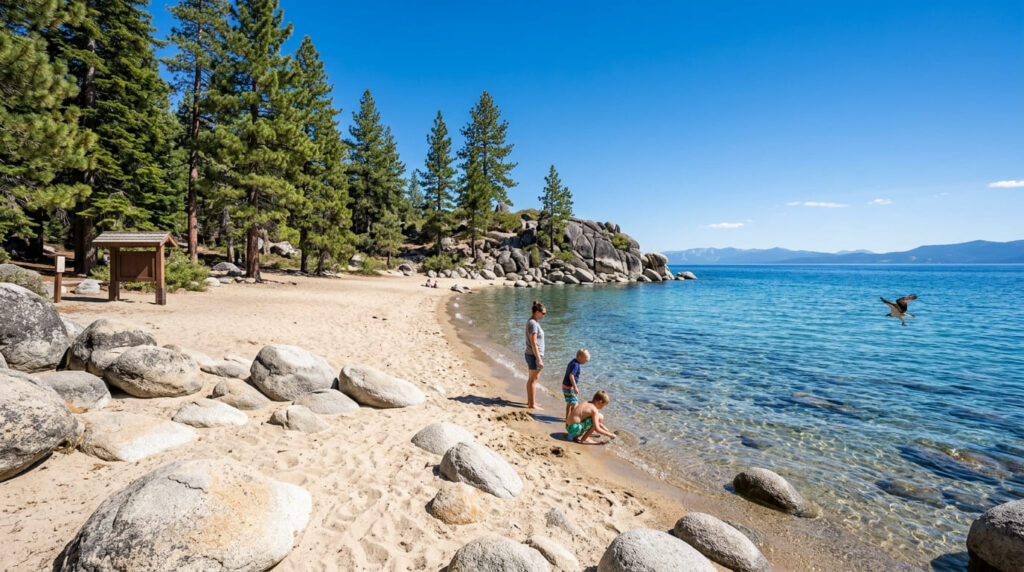
Best for. Hikers building a day around the Rubicon Trail, Emerald Bay, or D.L. Bliss, which (despite sitting on the lake’s west side) technically fall in El Dorado County, while Tahoe City itself sits just over the line in Placer County; our Placer County hiking guide covers that side of the basin.
Avoid the longer South Shore commute if this is your focus for the trip, and budget extra time on summer weekends: the Rubicon corridor between D.L. Bliss and Emerald Bay is one of the most photographed stretches on the lake, and it draws a crowd to match.
Truckee and the North Shore: closest to the Tahoe Rim Trail’s northern segments
Key features. Truckee is a historic railroad town on the lake’s north end. The Truckee Hotel has operated since 1873, and the walkable downtown still has that small-mountain-town feel even with newer additions like the Cedar House Sport Hotel and the Hilton-affiliated Martis Valley Lodge.
It sits about 14 miles from the lake itself, so it’s not a lakefront stay, but it’s the shortest, easiest access to the Tahoe City–Brockway Summit segment of the Tahoe Rim Trail: a roughly 20-mile stretch of the trail’s 165-mile loop that needs no permit for day hiking, with Watson Lake as the main water source partway through.
If you’d rather stay lakefront and closer to the Brockway Summit trailhead itself, Kings Beach and Tahoe Vista on the North Shore are the alternative, at the cost of a longer drive if you also want Truckee’s downtown.
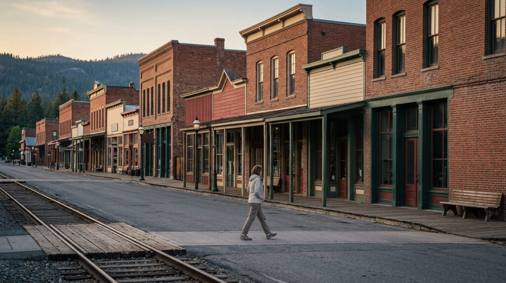
Best for. Hikers planning the TRT’s northern segments, or anyone who’d simply rather stay in a smaller, less lake-centric town with easy Interstate 80 access in and out.
One detail worth mentioning if you’re eyeing the full Tahoe Rim Trail loop rather than a single segment: a new overnight permit zone inside Desolation Wilderness went live in March 2026 specifically for TRT thru-hikers, capped at 10 spaces a night. Read up on the Desolation Wilderness overnight permit rules before you plan a multi-day crossing.
Camping as a budget alternative
In-basin campgrounds vs. nearby national forest sites. Inside the basin, campgrounds like Campground by the Lake in South Lake Tahoe, Meeks Bay, and D.L. Bliss, now that it’s reopened, are the most requested reservations at the lake, largely because they put you within a short drive (sometimes a walk) of the water and the trailhead in the same booking.
Lake Forest Campground in Tahoe City is a rare first-come, first-served option inside the basin if you’re flexible on dates. Outside the basin boundary, the surrounding Eldorado, Tahoe, and Humboldt-Toiyabe National Forests offer far more available camping, including free dispersed sites, if the in-basin campgrounds are full or outside your budget.
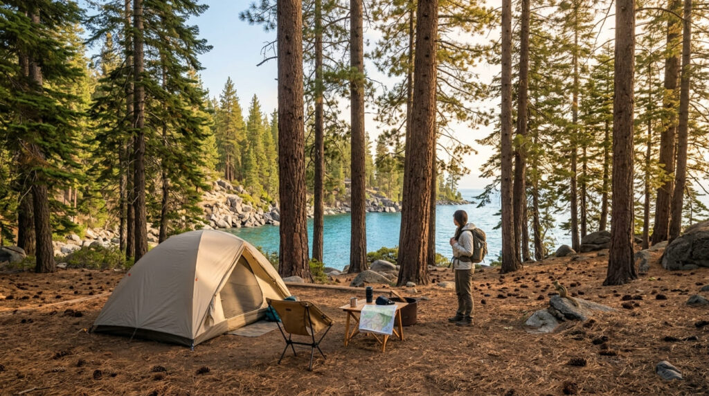
When to book. Unlike Yosemite’s unusual monthly-batch release covered in our companion guide to where to stay near Yosemite, Lake Tahoe follows the standard booking rhythm: both Recreation.gov (for national forest and D.L. Bliss’s neighbor sites) and ReserveCalifornia (for state park campgrounds) open reservations exactly 6 months in advance, on a rolling daily basis.
Want a July 6 arrival? Mark January 6 on your calendar and be ready when the window opens, because popular loops routinely book out within minutes. If you miss the window, cancellations do appear daily in the weeks before a trip; it’s worth checking back rather than assuming you’re out of luck.
My recommendation
South Shore wins on trailhead density and nightlife if you want both in one trip; West Shore wins on quiet and Emerald Bay proximity now that D.L. Bliss is back, and Truckee wins if the Rim Trail’s northern stretch is the actual goal rather than the lake itself. Pick the shore that matches the trail on your list, not just the prettiest drive in.
Wherever you land, the same rule from our Yosemite guide holds here: the trailhead doesn’t care how far you drove, only how early you’re standing at it. Around Lake Tahoe in July, “early” usually means before the parking lot fills.
Frequently asked questions about where to stay near Lake Tahoe for easy trail access.
What side of Lake Tahoe should hikers stay on?
Match the shore to the trail: South Shore for Desolation Wilderness (Eagle Falls, Mt. Tallac), West Shore for Emerald Bay and the Rubicon Trail, North Shore or Truckee for the Tahoe Rim Trail’s northern segments.
Is South Lake Tahoe or Tahoe City better for hiking?
Neither is better outright. South Lake Tahoe is closer to Desolation Wilderness’s most popular trailheads and has more lodging density; Tahoe City and the West Shore are closer to Emerald Bay and D.L. Bliss and feel noticeably quieter.
Is Lake Tahoe lodging expensive in summer?
Yes, June through August is peak season across the whole basin, and West Shore lakefront properties in particular run well above off-season rates. Booking 2 to 3 months ahead for summer weekends is a reasonable minimum; popular dates go further out.
Do you need a car to get around Lake Tahoe?
Mostly yes, though it’s getting easier not to for specific destinations. TART Connect microtransit serves the North Shore and Truckee, Lake Link covers the South Shore, and the Emerald Bay Shuttle now runs seasonally to the Eagle Falls trailhead from both shores.
Is Truckee part of the Lake Tahoe area?
Yes, functionally. Truckee sits about 14 miles from the lake itself but is treated as part of the greater Tahoe region, and it’s the natural base for the Tahoe Rim Trail’s northern segments and Interstate 80 access.
How far is South Lake Tahoe from the West Shore?
Roughly 17 miles from South Lake Tahoe to D.L. Bliss State Park on the West Shore, and about 22 miles to Tahoe City itself; call it 30 to 45 minutes depending on summer traffic on Highway 89.