Hiking Trails in Trinity County, California
Trinity County has no incorporated cities, fewer than 14,000 residents, and holds California’s second-largest wilderness area. This is about as remote and undeveloped as hiking in this state gets without leaving it entirely.
Disclosure: Please note that some of the links below are affiliate links and at no additional cost to you, I may earn a commission. Know that I only recommend hiking gear I personally stand behind; when you use my affiliate links, it helps me run this blog and keep all of this content free of charge for readers (like you).
I’ve spent four-plus years cataloging trails across this state, and Trinity County consistently delivers Sierra Nevada-caliber granite and alpine lake scenery to hikers willing to make the drive, with a fraction of the crowds found anywhere in Yosemite or Tahoe.
Locals sometimes describe the Trinity Alps as the Sierra Nevada’s more compact identical twin, and once you’ve hiked here, it’s hard to disagree. This guide covers all three of the county’s hiking zones, featuring the best hiking trails in Trinity, centered on the Trinity Alps Wilderness itself.
Key takeaways:
- Trinity County spans three hiking zones: the Trinity Alps Wilderness, the Trinity River Canyon along Highway 299, and the South Fork Trinity/Hayfork area near the Yolla Bolly-Middle Eel Wilderness.
- The Trinity Alps Wilderness covers more than 500,000 acres, California’s second-largest wilderness area, with over 600 miles of trails and no permit required for day hiking.
- Canyon Creek Lakes Trail is the wilderness’s single most popular route, reaching granite-bowl lakes below towering peaks.
- Overnight backpacking anywhere in the Trinity Alps requires a free self-issue wilderness permit, available at trailhead kiosks or the Weaverville Ranger Station.
- Weaverville, the county seat, is a preserved Gold Rush-era town and the natural base for most Trinity Alps trips.
Related
Why Trinity County is California’s most remote and untouched hiking county
Trinity County has no incorporated cities and fewer than 14,000 residents spread across a county larger than the state of Delaware, a remoteness that shows up directly in how uncrowded its trails stay, even at destinations comparable in beauty to far busier parts of the Sierra Nevada.
The Trinity Alps Wilderness, the Wild and Scenic Trinity River (one of the last free-flowing rivers left in California), and Shasta-Trinity National Forest dominate the county’s hiking profile, with historic Gold Rush town Weaverville serving as the main trailhead base for most visitors. Shasta-Trinity National Forest, as the shared name suggests, spans directly into Shasta County to the east.
Trinity County’s three hiking zones
The Trinity Alps Wilderness (Coffee Creek trailhead, Granite Lake, the Emerald Lake basin, Caribou Lakes) holds the county’s signature granite-and-alpine-lake terrain, and it’s the reason most hikers make the trip out here in the first place. The Trinity River Canyon (Highway 299 corridor, Burnt Ranch Falls, the area known locally as Bigfoot Country) follows the river between Weaverville and Willow Creek, offering a lower-elevation alternative when the high country still has snow. That same high country continues north into the hiking trails in Siskiyou County, home to the Trinity Alps’ Marble Mountain neighbor range.
And the South Fork Trinity / Hayfork zone, centered on Ruth Lake, borders the Yolla Bolly-Middle Eel Wilderness and offers a quieter, less-visited alternative to the main Trinity Alps trailheads, useful if even Trinity County’s version of “crowded” feels like too much.
Best hiking trails in the Trinity Alps Wilderness, Trinity County
The Trinity Alps Wilderness covers more than 500,000 acres, California’s second-largest wilderness area behind only Death Valley, spanning three national forests (Shasta-Trinity, Klamath, and Six Rivers) with over 600 miles of trails across granite, marble, schist, and greenstone terrain.
No permit is required for day hiking; self-issued wilderness permits at the trailhead cover overnight stays. The wilderness is broadly divided into the White Trinities (granite peaks, the most visited section), the Red Trinities (reddish ultramafic rock, more complex terrain), and the Green Trinities (heavily timbered, the least visited and quietest of the three).
Granite Lake Trail: Trinity Alps’ best easy alpine lake day hike
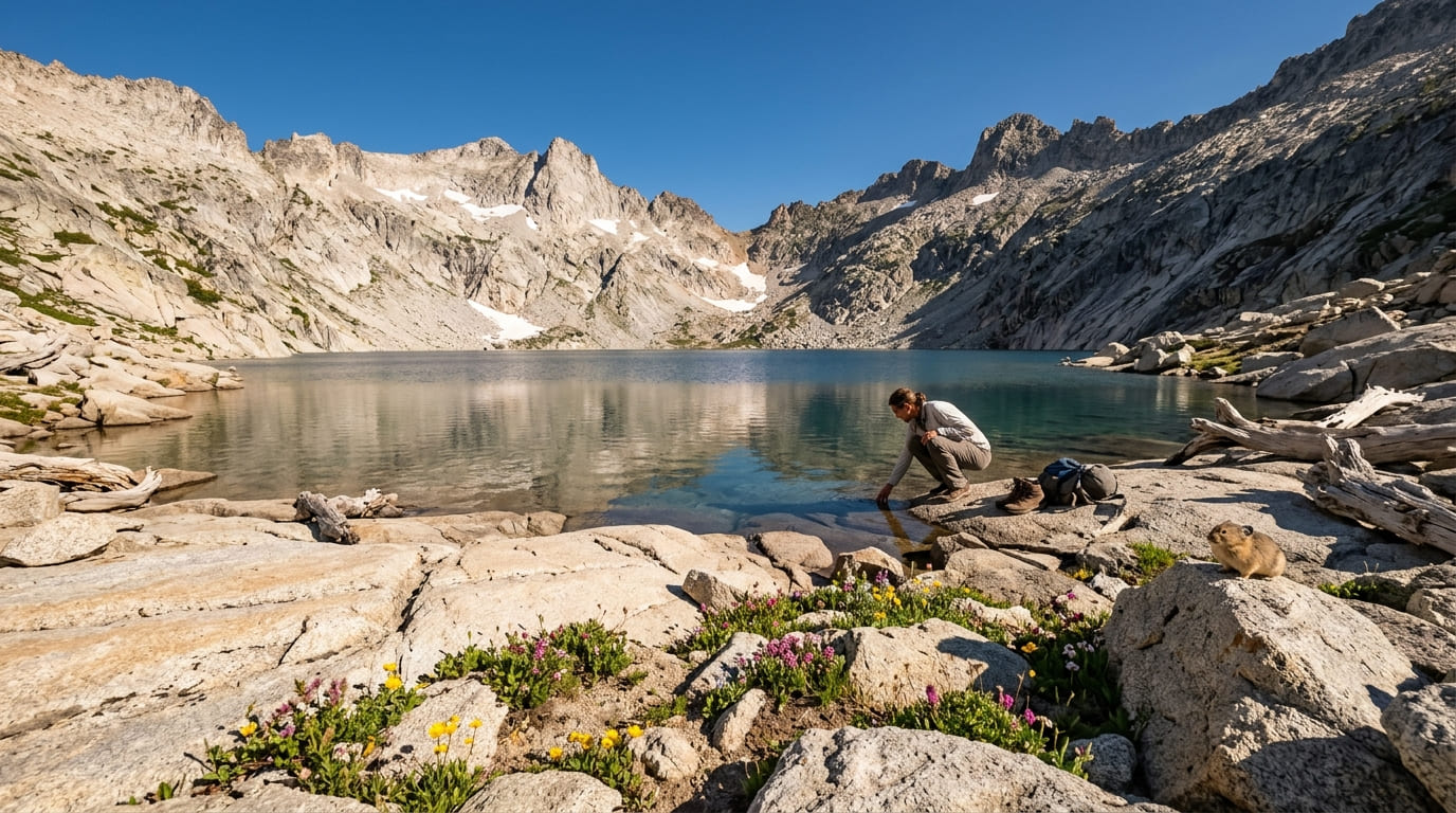
At 8 to 10 miles round-trip with about 2,000 ft of gain from the Swift Creek trailhead north of Weaverville, this trail climbs to a granite-rimmed cirque lake at 6,400 ft with cold summer swimming and excellent July wildflowers.
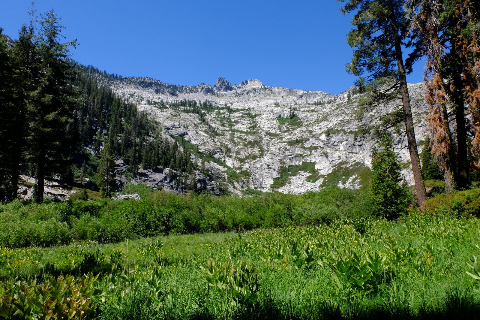
The dirt access road is passable by standard two-wheel-drive vehicles, making this one of the more approachable Trinity Alps trailheads to reach without needing a high-clearance vehicle. Best July through September, once snow clears from the upper trail.
Caribou Lakes Basin: Trinity Alps’ most spectacular multi-day destination
At 16 miles round-trip with about 3,500 ft of gain, this route reaches four connected alpine lakes: Caribou Lake, the largest, anchors what’s widely considered the most photographed destination in the entire wilderness, and it’s easy to see why once you’re standing at the basin’s edge with granite walls rising on nearly every side.
Most hikers treat it as a 2 to 3 day backpack rather than a single push; a self-issue overnight permit and bear canister (recommended, not always mandatory depending on the exact zone) apply. Best July through September, with the trail generally snow-free and the lakes at their most swimmable by mid-summer.
Stuart Fork Trail to Emerald and Sapphire Lakes: Trinity’s finest backcountry route
At about 26 to 27 miles round-trip to Emerald Lake with roughly 3,600 ft of gain, this trail from the Stuart Fork trailhead near Trinity Center passes Morris Meadow before reaching a striking, glacially carved emerald-green lake at 6,400 ft, with Sapphire Lake sitting just beyond it for hikers willing to push a bit further. Plan for 3 or more days; a self-issued overnight permit is required for camping.
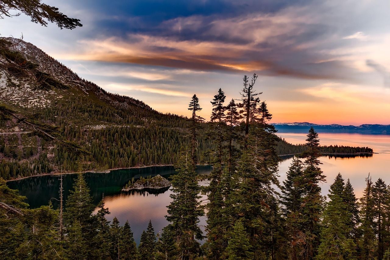
The final approach past Morris Meadow is largely exposed and involves some scrambling, so budget time and water for the last push; this isn’t a trail where you want to be caught making that climb in the afternoon heat.
Best hiking trails along the Trinity River, Trinity County
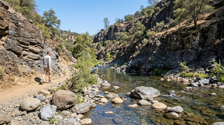
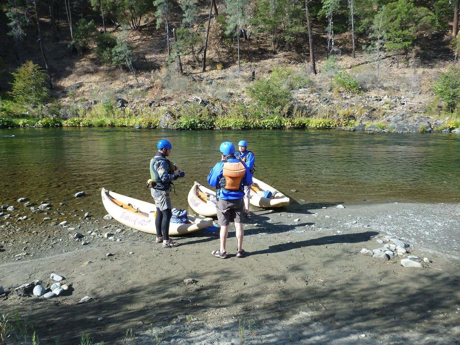
The Trinity River corridor along Highway 299 connects Weaverville to Willow Creek through terrain locals call Bigfoot Country, with Class III–IV whitewater running alongside much of the route, a scenic drive on its own, even before you factor in the trailheads branching off it.
Canyon Creek Lakes Trail: Trinity County’s most accessible wilderness lake hike
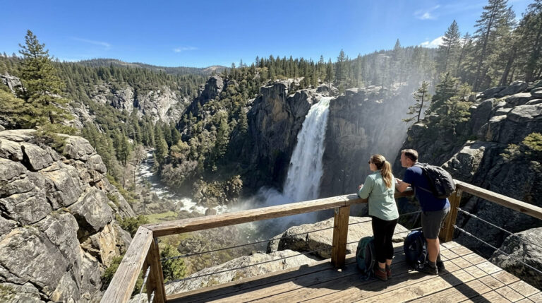
At about 14 to 15 miles round-trip with roughly 3,000 ft of gain from the Canyon Creek trailhead north of Junction City, this is confirmed as the single most popular trail in the entire Trinity Alps Wilderness, reaching lower and upper Canyon Creek Lakes, granite bowls below towering peaks, with a waterfall along the way.
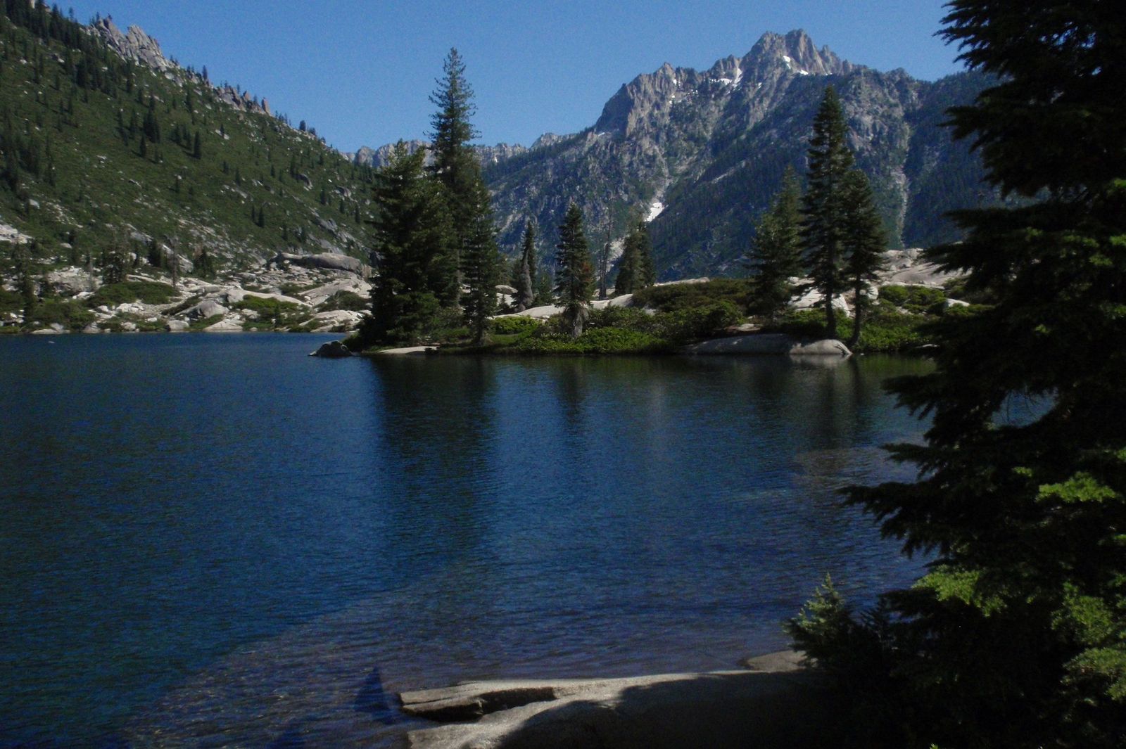
It works as a strong single-day push for fit hikers or a comfortable 2-day backpack for most others; a self-issue permit covers overnight stays, and bear canisters are specifically required in the Canyon Creek area, with campfires prohibited at the lakes themselves.
Best July through October, and expect crowds on summer weekends; weekday visits are noticeably quieter, and more than one hiker has learned the hard way that a Saturday trip here means sharing the trail with a crowd by Trinity County standards.
Best hiking trails near Weaverville, Trinity County
Weaverville, the Trinity County seat, is a preserved Gold Rush-era town: honey locust trees planted by 19th-century emigrants still line Main Street, and several 1850s buildings remain intact, including exterior spiral staircases built for multi-family occupancy, a detail that surprises most first-time visitors expecting a generic small-town main street.
The Joss House State Historic Park here protects the oldest continuously used Chinese temple in California, worth a short walking tour before or after a trail day, and it speaks to a much larger, often-overlooked Chinese immigrant history tied to the region’s Gold Rush mining era.
Oregon Mountain Trail: Weaverville’s best quick summit hike
At 4 miles round-trip with about 1,200 ft of gain from a trailhead right at the edge of town, this trail delivers summit views across the Trinity River Valley, the Weaverville basin, and the Trinity Alps skyline in the distance, passing visible historic mining features along the way.
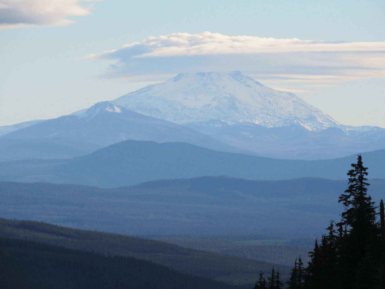
It’s free, accessible year-round from the lower trailhead, and best hiked in spring or fall when temperatures are milder than a full Trinity Alps push, making it a good option for a shorter morning hike before or after a longer wilderness trip, or simply the best choice if you’re only passing through Weaverville for a day.
If you’re building broader hiking skills, our hiking safety guide covers preparation worth reviewing before a remote backcountry trip like Stuart Fork or Caribou Lakes, and honestly, checking a route’s difficulty rating matters more here than almost anywhere else in this guide, given how far you’d be from help on the longer routes.
Cell service is unreliable across most of the county, so tell someone your plan before you head into the wilderness rather than counting on being able to call for help if something goes wrong.
Frequently asked questions: hiking trails in Trinity County
What hiking trails are in the Trinity Alps Wilderness?
Canyon Creek Lakes, Caribou Lakes Basin, Granite Lake, and Stuart Fork Trail to Emerald and Sapphire Lakes are the wilderness’s signature routes, ranging from accessible day hikes to multi-day backcountry trips.
Do I need a permit to hike in the Trinity Alps Wilderness?
No permit is needed for day hiking; overnight backpacking requires a free self-issue wilderness permit, available at trailhead kiosks or the Weaverville Ranger Station, plus a separate campfire permit if you plan to have one.
How do I get to the Trinity Alps Wilderness from Redding or Weaverville?
From Redding, it’s about a 40-mile drive west on Highway 299 to Weaverville; from there, Highway 3 north leads to the Coffee Creek and Trinity Center trailheads, while continuing west on 299 reaches Junction City, where Canyon Creek Road leads to the Canyon Creek trailhead.
Is the Trinity Alps Wilderness good for beginner backpackers?
It can be, on the more established routes like Canyon Creek Lakes, but much of the wilderness has trails in rougher condition than a typical Sierra Nevada destination, so beginners should stick to well-traveled routes and go with an experienced partner if possible.
What is the best easy hike in Trinity County for a day trip?
The Oregon Mountain Trail right outside Weaverville is the easiest payoff for the least effort; Granite Lake is the best easy option if you’re willing to drive further into the wilderness itself.
Are there hiking trails near the Trinity River in Trinity County?
Yes, the Highway 299 corridor between Weaverville and Willow Creek follows the river closely, with access to Canyon Creek Lakes and other Trinity Alps trailheads branching off it.