The 5 Best Alpine Lake Hiking Trails in Siskiyou County, From a Drive-Up Swim to Views Toward Mount Shasta
This guide is a deliberately different focus from my Klamath Mountains wilderness guide, these five lakes sit along the Trinity Divide, closer to Mount Shasta’s flanks and considerably more accessible than the remote wilderness lakes covered there. Here’s the short version: Deadfall Lakes is the trail worth the full effort for Mount Eddy views, Castle Lake is the easiest true drive-up alpine lake in this entire guide, and Porcupine Lake is the one to save for when you want solitude without a wilderness-level commitment. Seeking out these Alpine Lake Hiking Trails is the perfect way to experience pristine mountain waters with straightforward trail access.
Disclosure: Please note that some of the links below are affiliate links and at no additional cost to you, I may earn a commission. Know that I only recommend hiking gear I personally stand behind; when you use my affiliate links, it helps me run this blog and keep all of this content free of charge for readers (like you).
Five lakes anchor this guide, all reachable without a wilderness permit, ranging from a drive-up swim to a half-day trek through wildflower meadows.
Key takeaways
- Best payoff for the effort: Deadfall Lakes Trail, a chain of lakes with views toward both Mount Eddy and distant Mount Shasta, with an optional summit extension.
- Best quick summer swim: Toad Lake Trail, a granite-basin lake reached with relatively little effort once you’re past the rough access road.
- Easiest true drive-up lake: Castle Lake, paved road access right to the shore, popular for both swimming and fishing.
- Best base for a longer day: Gumboot Lake Trail, drive right to the water, then continue on foot into higher basins if you want more.
- Quietest and most secluded: Porcupine Lake Trail, a granite cirque with a fraction of the visitation of Castle or Gumboot Lakes.
- None of these five require a wilderness permit, a contrast to the Klamath Mountains guide, and part of what makes this guide a good option for a shorter, more accessible day.
Deadfall Lakes Trail (Trinity Divide)
Trailhead access and parking at the Parks Creek Trailhead, Trinity Divide
A paved-road Forest Service trailhead about 30 miles from the Mount Shasta Ranger Station, where the Pacific Crest Trail also passes through en route toward Mount Shasta’s flanks.
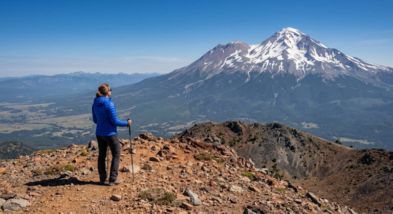
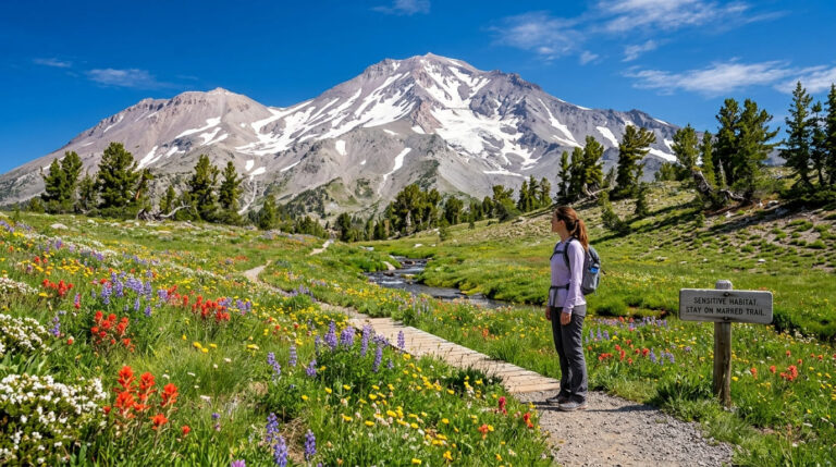
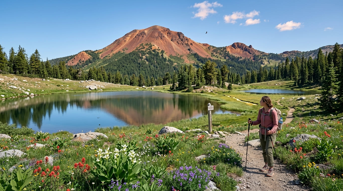
What you’ll see: a chain of lakes with views toward Mount Eddy and Mount Shasta
Distance here is adjustable, commonly 5.6 to 10.4 miles round trip depending on how far into the basin you explore, passing through wildflower meadows and several distinct lakes, including Middle Deadfall Lake, the largest of the group.
Hikers wanting more can continue to the 9,025-ft summit of Mount Eddy, technically Trinity County’s highest point, just over the county line, for what many consider the finest single view in Northern California, taking in Mount Shasta, Castle Crags, and the Trinity Alps all at once.
Best time to hike Deadfall Lakes: summer for the fullest lake levels
Snowmelt drives lake levels at this elevation, with midsummer typically offering the fullest, most scenic water before late-season drawdown.
Toad Lake Trail (Trinity Divide)
Trailhead access and parking off a Forest Service road, Trinity Divide
A shorter, more direct approach than the full Deadfall Lakes trek, via a Forest Service road that requires a somewhat rough drive, a separate access point from the paved Parks Creek Trailhead.
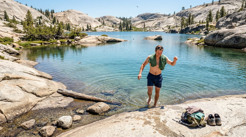
What you’ll see: a granite-basin lake popular for a quick swim
A granite-ringed alpine lake reached with relatively little walking once you’re past the access road, a local favorite for a fast summer swim without committing to a long approach hike.
Best time to hike Toad Lake: summer for swimming, once the access road clears
Both the trail itself and the rough access road align around early-to-mid summer, once snow has fully cleared from the higher sections of the drive.
Castle Lake Trail (Near Mount Shasta)
Trailhead access and parking at Castle Lake, near the town of Mount Shasta
Free, paved-road access directly to the lakeshore, the most drive-up-convenient trailhead in this entire guide.
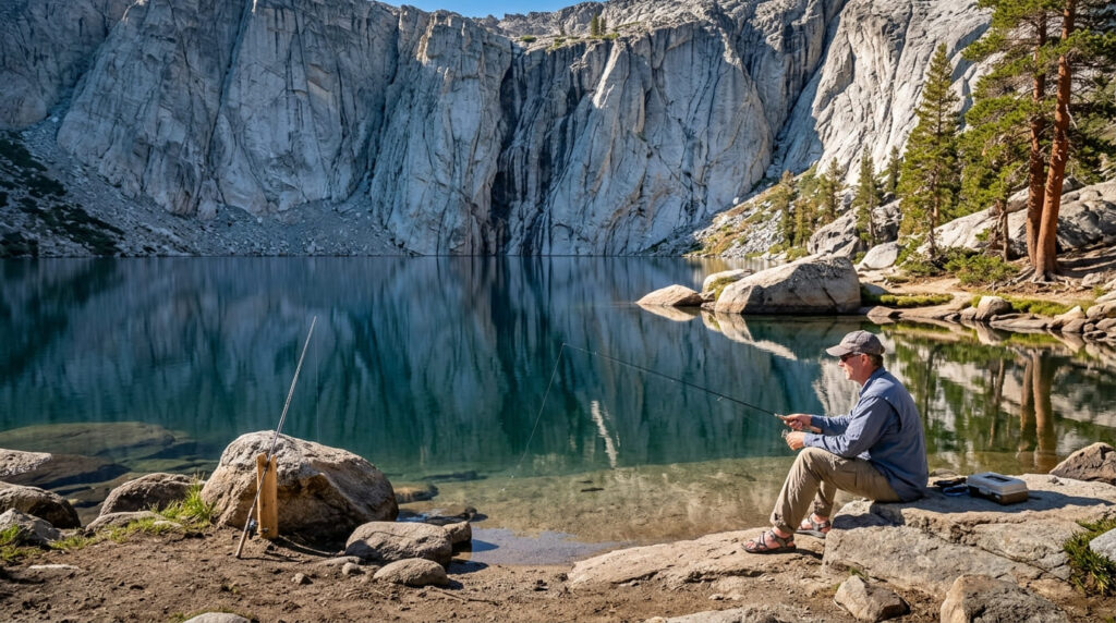
What you’ll see: a popular swimming and fishing lake beneath granite cliffs
A scenic glacial lake backed by dramatic granite cliffs, popular for both swimming and trout fishing right from the shore. An optional, steeper trail continues from here to Heart Lake, tucked in a bowl below Castle Peak on the edge of the Castle Crags Wilderness, a distinct lake from the similarly named Heart Lake covered in my Mount Shasta trails guide, on the opposite side of the mountain.
Best time to hike Castle Lake: summer for swimming and fishing
Summer is this lake’s defining season by a wide margin, drawing both swimmers and anglers to its easily accessible shoreline.
Gumboot Lake Trail (Trinity Divide)
Trailhead access and parking at Gumboot Lake, Trinity Divide
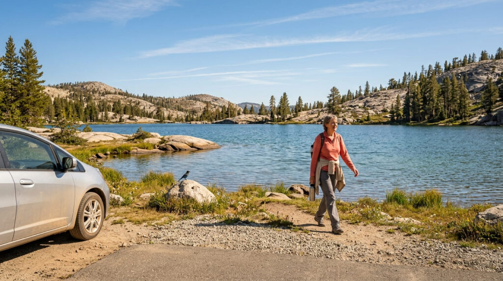
A paved-road, drive-up trailhead directly at the lakeshore, about 16 miles southwest of Mount Shasta City, one of the most popular trailheads in this entire district given how little walking it requires to reach the water.
What you’ll see: a drive-up alpine lake with trails continuing to higher basins
Minimal walking gets you to the lake itself, but trails continue from the shoreline into higher, more remote basins along the Trinity Divide for hikers wanting real mileage beyond the drive-up payoff.
Best time to hike Gumboot Lake: summer, once the access road clears of snow
The paved access road is the main seasonal gatekeeper here, once it’s clear, the lake itself is reliably accessible for the rest of the season.
Porcupine Lake Trail (Trinity Divide)
Trailhead access and parking near the Toad Lake trailhead area
Shares a general trailhead area with Toad Lake, but branches toward a quieter, more secluded basin.
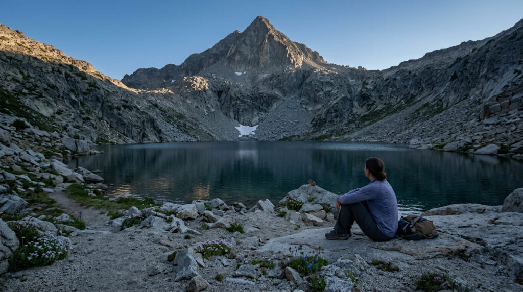
What you’ll see: a secluded lake beneath the Trinity Divide’s granite peaks
Porcupine Lake sits in a granite cirque at the foot of pyramidal Porcupine Peak, a fraction of the foot traffic that Castle Lake or Gumboot Lake see on a comparable summer weekend, closing out this guide on its most solitude-focused entry.
Best time to hike Porcupine Lake: summer for the fullest lake and stable trail conditions
Higher elevation and less-developed access make midsummer the most dependable window here, consistent with the seasonal pattern across this entire guide.
The trail I’d actually start with
If you’ve only got one stop, make it Castle Lake, nothing else in this guide delivers a alpine swim with this little effort. Deadfall Lakes is worth the fuller commitment specifically for the Mount Eddy summit option, and Gumboot Lake is the pick if you want a drive-up base with room to extend the day.
Toad Lake and Porcupine Lake both reward hikers willing to handle a rougher access road for a quieter payoff.
Since these lakes sit along the Trinity Divide, which connects directly toward the Trinity Alps Wilderness, my Trinity Alps Wilderness guide is a natural next stop, and my Siskiyou County hiking guide rounds out the rest of what this county offers.
Frequently asked questions
Does the Pacific Crest Trail pass Deadfall Lakes?
Yes, the PCT runs directly through the Deadfall Lakes basin on its way along the Trinity Divide, making this one of the more scenic day-hike sections of the trail in this part of California.
Can you swim at Toad Lake?
Yes, it’s a local favorite for a quick summer swim, reached with relatively little walking once you’re past the rough access road.
Can you fish at Castle Lake?
Yes, trout fishing is popular right from the shore, alongside swimming, one of the most accessible fish-and-swim combinations in this entire guide.
Can you drive to Gumboot Lake?
Yes, a paved road leads directly to the lakeshore, making it one of the easiest true drive-up alpine lakes in this guide, with trails continuing on foot from there for more mileage.
Is Porcupine Lake less crowded than Castle Lake?
Yes, considerably, its more secluded granite cirque setting and shared trailhead with the already-quieter Toad Lake keep visitation well below Castle Lake’s easy drive-up crowds.
Which Siskiyou County alpine lake is easiest to reach?
Castle Lake and Gumboot Lake are both drive-up lakes with paved road access directly to the shore, the two easiest options in this entire guide.