Hiking Trails in San Benito County, California: Complete Trail Guide
San Benito County is one of California’s less populous rural counties, but it holds the side entrance to one of the state’s most distinctive national parks, a Gabilan Range summit with a public observatory, and a working-ranch state park along the Pacheco Pass, all of which offer surprisingly diverse Hiking Trails in San Benito.
Disclosure: Please note that some of the links below are affiliate links and at no additional cost to you, I may earn a commission. Know that I only recommend hiking gear I personally stand behind; when you use my affiliate links, it helps me run this blog and keep all of this content free of charge for readers (like you).
I’ve spent four-plus years cataloging trails across this state, and San Benito County is a good example of how much geographic confusion surrounds Pinnacles National Park specifically: getting the entrance-to-county assignment right matters here, since it changes which trailhead you should be driving toward. This guide covers the county’s three hiking destinations.
Key takeaways:
- Pinnacles National Park’s east entrance (Bear Gulch, reached from Hollister) is the San Benito County side, not the west entrance, despite that being a common mix-up.
- Fremont Peak State Park, near San Juan Bautista, tops out at 3,173 ft with panoramic views and a public astronomical observatory.
- Pacheco State Park is accessible from Hollister, but only about 2,600 of its 6,890 total acres are currently open to the public.
- No permit is required for day hiking at any of the three destinations covered here.
- Spring (March–May) is the strongest season across the county for wildflowers and mild temperatures before summer heat sets in.
Hiking in San Benito County: Pinnacles Gateway and Coastal Range Trails
San Benito County covers 1,389 square miles, anchored by Hollister, and holds three hiking destinations: the (east) entrance to Pinnacles National Park, Fremont Peak State Park’s Gabilan Range summit, and Pacheco State Park’s working-ranch grassland along Highway 152. If you are mapping out a single-day excursion to the east entrance, you can follow our detailed Pinnacles National Park day trip itinerary to optimize your time between the talus caves and the High Peaks. Its rural character and smaller population show up directly in how quiet its trails stay even on weekends when nearby Monterey and Santa Clara counties are considerably busier.
Best hiking trails at Pinnacles National Park, San Benito County side
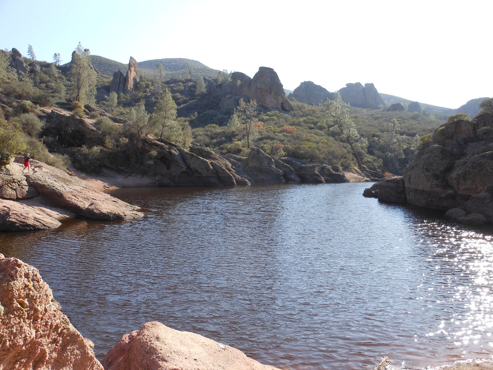
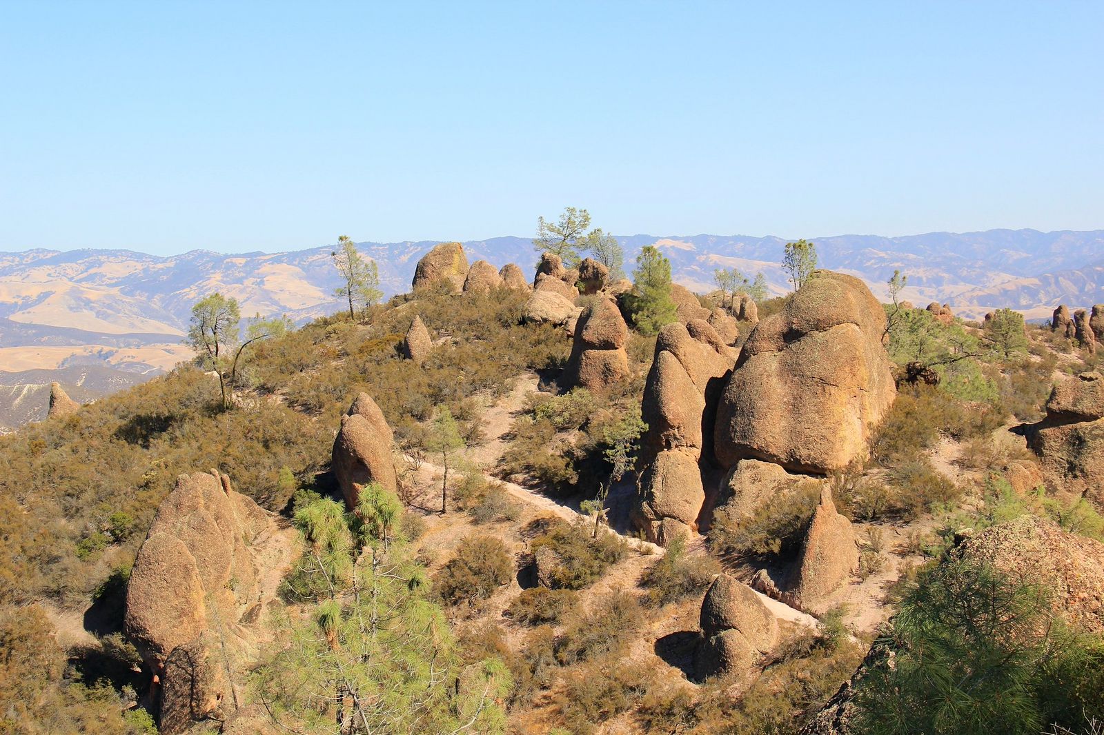
Contrary to a common mix-up, the east entrance (reached via Highway 25 from Hollister, not the west entrance off Highway 146 from Soledad) is the San Benito County side of the park, and it’s also where the majority of the park’s facilities, including the main visitor center, campground, and Bear Gulch Cave, are located. The two entrances aren’t connected by any road, so once you’ve picked one for the day, you’re committed to it.
Condor Gulch Trail: San Benito County’s best Pinnacles viewpoint hike
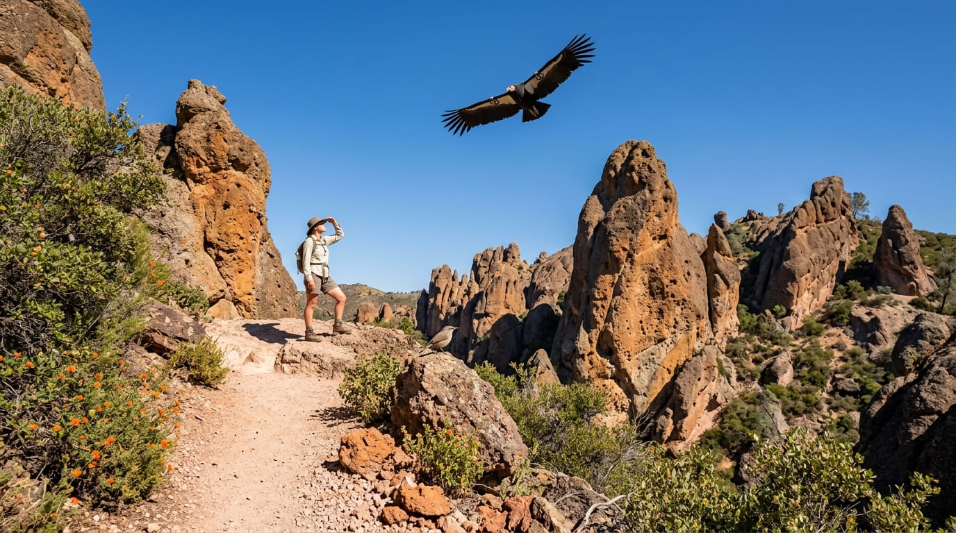
At about 2.0 miles round-trip with roughly 500 ft of gain from the east entrance’s Bear Gulch trailhead, this trail climbs to an overlook with odds of spotting a California condor riding thermals overhead (one of the most reliable condor-viewing spots in the park, especially on warm mornings when rising air currents give the birds lift).
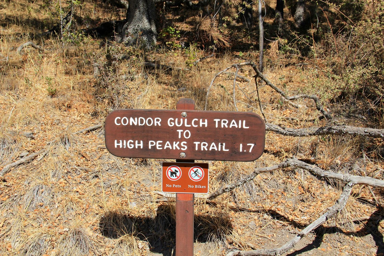
It connects to the longer High Peaks Trail for hikers wanting to extend further into the park’s dramatic rock formations, turning a short overlook hike into a much bigger day if you have the time and legs for it. No permit is required for the day hike, and the standard park entrance fee applies; Bear Gulch Cave, a short walk from the same trailhead area, adds a talus-cave option to the same trip if you have time for both.
Best hiking trails at Fremont Peak State Park, San Benito County
Fremont Peak State Park, about 11 miles south of San Juan Bautista, tops out at the 3,173 ft summit of the Gabilan Range, named for explorer John C.
Frémont’s 1846 encampment here. The park itself technically spans both San Benito and Monterey Counties, though its main access road and most visitor traffic come from the San Benito side. A $6 day-use fee applies.
Fremont Peak Summit Trail: San Benito County’s best panoramic short hike
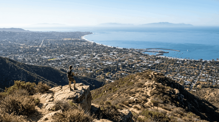
At about a 1.0-mile round-trip, this short but steep rocky scramble reaches the summit, delivering 360-degree views spanning Monterey Bay, the Santa Cruz Mountains, the Salinas Valley, and the Diablo Range on a clear day.
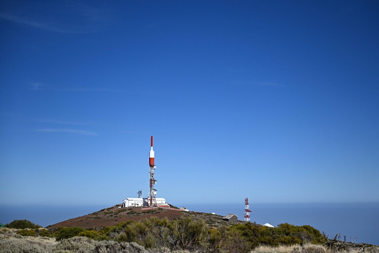
The park’s public astronomical observatory, with a 30-inch telescope, hosts programs on select moonless Saturday evenings, which are worth timing a visit around if stargazing interests you as much as the daytime views.
Dogs are not permitted on trails; best visited on clear days October through March, when winter storm systems have cleared coastal haze from the valleys below.
Best hiking trails at Pacheco State Park, San Benito County
Pacheco State Park sits along the historic Pacheco Pass on Highway 152, technically addressed in Hollister and accessible from San Benito County, though the park itself is managed as part of a larger Diablo Range holding.
Of its 6,890 total acres, only about 2,600 (the western portion) are currently open to the public, with 28 miles of trails across that section.
Pacheco Pass grassland trails: San Benito County’s best oak savanna day hike
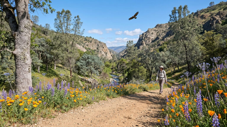
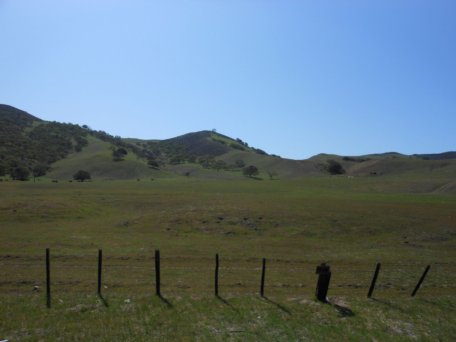
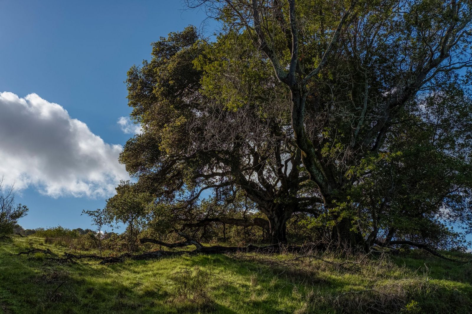
From the Dinosaur Point trailhead off Highway 152, loop options here range from 1 mile to 20-plus miles across rolling blue oak woodland and grassland, with spring wildflowers (poppies, blue dicks, owl’s clover) putting on a show March through April.

Pronghorn sightings are documented in the park; a bison herd is sometimes mentioned in connection with the broader area, but I couldn’t independently confirm one currently at Pacheco itself, so treat that specific claim with some skepticism until you’ve checked with the park directly. A $10 day-use parking fee applies, with no reservation required.
If you’re building broader hiking skills, our beginner’s guide to hiking trails is a solid starting point, and our high-elevation hiking guide has relevant altitude-adjacent tips even for a modest summit like Fremont Peak.
Frequently asked questions: hiking trails in San Benito County
What hiking trails are in San Benito County, California?
Pinnacles National Park’s east entrance (Bear Gulch, Condor Gulch, High Peaks), Fremont Peak State Park, and Pacheco State Park cover the county’s three hiking destinations.
Which entrance of Pinnacles National Park is in San Benito County?
The east entrance, reached via Highway 25 from Hollister, not the west entrance (Chaparral), which is reached from Soledad in Monterey County, a point of common confusion.
Can I hike to the top of Fremont Peak in San Benito County?
Yes, the Fremont Peak Summit Trail is a short but steep 1.0-mile round-trip scramble to the 3,173 ft summit, with panoramic views of Monterey Bay and the Salinas Valley.
Are there bison at Pacheco State Park near Hollister?
This couldn’t be independently confirmed. The park’s official materials describe pronghorn sightings and historic cattle ranching, but no bison herd, so verify directly with the park before planning a visit around seeing one.
Is the east entrance of Pinnacles National Park worth visiting?
Yes, it’s the more developed side, with the main visitor center, campground, Bear Gulch Cave, and most of the park’s trail network, including access to the High Peaks.
What are the best hiking trails near Hollister, California?
Pinnacles National Park’s east entrance, about 30 minutes south via Highway 25, and Pacheco State Park, about 25 minutes east via Highway 152, are both day-trip distances from Hollister.