Hiking Trails in Plumas County, California: Complete Trail Guide
Plumas County holds one of the largest national forests in the Sierra Nevada, a dramatic 3,000-foot-deep river canyon, and a resort-town trail hub most Southern California hikers have never heard of. I’ve spent four-plus years cataloging trails across this state, and those searching for Hiking Trails in Plumas County is exactly the kind of Northern Sierra destination that gets overshadowed by Tahoe and Yosemite despite comparable granite-and-alpine-lake scenery, especially around the Lakes Basin and Bucks Lake Wilderness. This guide covers the county’s four real hiking zones.
Disclosure: Please note that some of the links below are affiliate links and at no additional cost to you, I may earn a commission. Know that I only recommend hiking gear I personally stand behind; when you use my affiliate links, it helps me run this blog and keep all of this content free of charge for readers (like you).
Key takeaways:
- Plumas County centers on Plumas National Forest (1,146,000 acres), the Feather River canyon, Lake Almanor, and Bucks Lake Wilderness.
- Frazier Falls, near Graeagle, is one of Northern California’s most accessible dramatic waterfalls, a paved 1.1-mile round-trip to a 176-foot plunge.
- Bucks Lake Wilderness covers 21,000 acres of granite terrain; while the 2021 Dixie Fire impacted parts of the forest, major trails have reopened for visitors.
- No permit is required for day hiking anywhere in this guide, including inside Bucks Lake Wilderness.
- Lake Almanor’s paved Recreation Trail offers 9 flat, easy miles between Chester and Prattville with real Mount Lassen views.
Hiking in Plumas County: Northern Sierra’s hidden trail network
Plumas National Forest covers 1,146,000 acres, one of the largest national forests in the Sierra Nevada, anchoring a county defined by the dramatic, 3,000-foot-deep Feather River canyon, 52-mile-shoreline Lake Almanor, and Bucks Lake Wilderness’s granite peaks and alpine lakes.
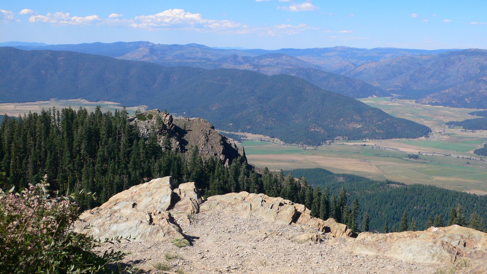
The forest sits at the meeting point of the northern Sierra Nevada and the southern Cascade Range, giving the terrain a different feel than the classic granite-dome Sierra scenery further south. That same forest belt runs downhill into the hiking trails in Butte County. The resort community of Graeagle serves as the main trail base for the county’s northern half, with Quincy anchoring access to Bucks Lake Wilderness in the south.
Best hiking trails near Graeagle and the Feather River, Plumas County
Graeagle, a resort community at 4,400 ft along the Gold Lake Road corridor, anchors some of the most accessible alpine scenery in the entire county, with the Sierra Buttes visible from town marking the Plumas/Sierra county line.
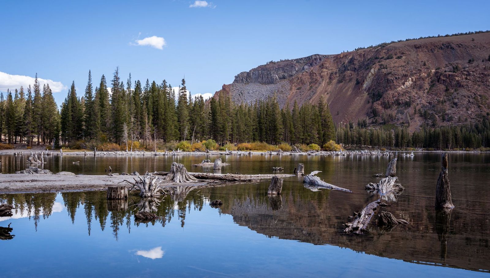
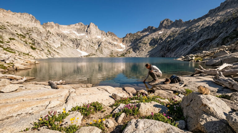
The Lakes Basin area surrounding Graeagle packs a dense cluster of alpine lakes and granite peaks into a small footprint, making it easy to combine two or three short hikes into a single day.
Frazier Falls Trail: Plumas County’s most spectacular easy waterfall hike
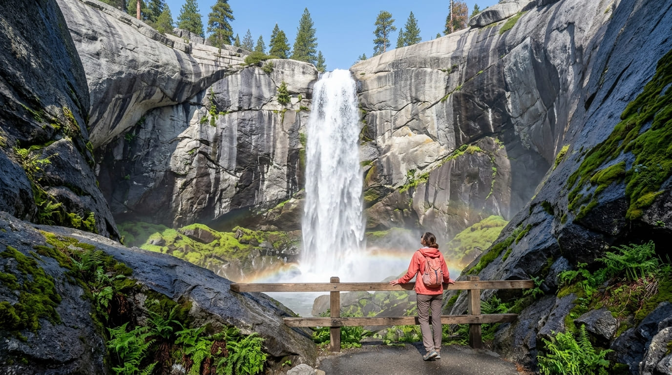
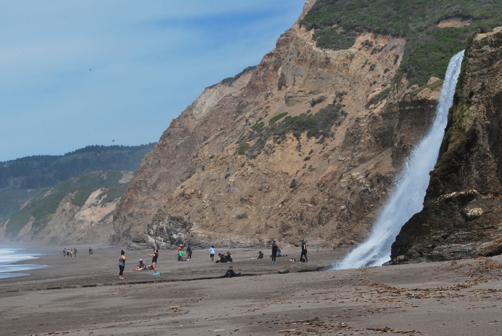
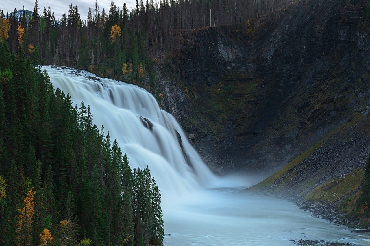
At 1.1 miles round-trip with about 200 ft of gain from a trailhead off Gold Lake Road between Graeagle and Bassetts, this paved, accessible trail leads to a 176 ft waterfall plunging through a granite amphitheater, one of the most dramatic easy-access waterfalls in Northern California, and one that delivers a payoff well beyond what the short, gentle approach would suggest. Best June through August, during peak snowmelt; flow drops off considerably by early fall. It’s free and requires no permit.
Round Lake Loop: Plumas County’s best easy alpine lake day hike
At 5 miles round-trip with about 600 ft of gain from Gold Lake Lodge Road, this trail reaches a granite-rimmed alpine lake at 6,400 ft, with several satellite lakes, Big Bear Lake, Long Lake, and Round Lake, all within a mile if you want to extend the trip into a longer lake-hopping day.
Free, no permit required, best July through October once the trail is reliably snow-free and the lakes have warmed enough for a comfortable swim.
Best hiking trails in the Bucks Lake Wilderness, Plumas County
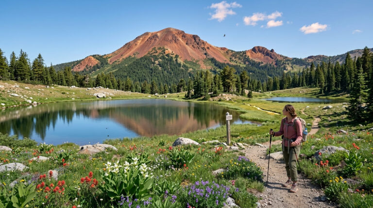
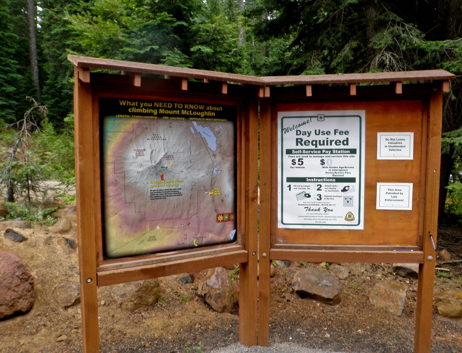
Bucks Lake Wilderness covers 21,000 acres of granite terrain accessible from the Quincy area, with the Pacific Crest Trail crossing through via the Bucks Summit trailhead. No permit is required for day hiking, and unlike some of California’s more famous wilderness areas, there’s no lottery or quota system to compete with here at all.
Spanish Peak Trail: Plumas County’s best Northern Sierra summit hike
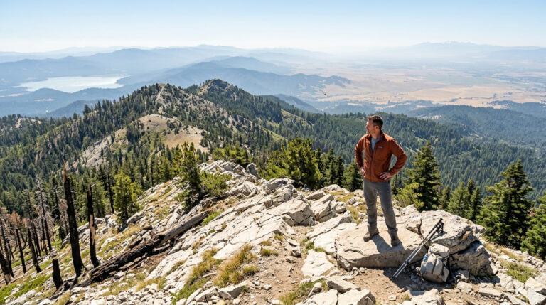
At 7 miles round-trip with about 2,000 ft of gain from the Spanish Peak trailhead off Bucks Lake Road south of Quincy, this trail climbs to a 7,017 ft summit with panoramic views spanning Plumas County, the Sacramento Valley, and the Coast Range on a clear day, an impressive payoff for a trail that doesn’t demand the kind of multi-day commitment bigger Sierra summits farther south often require.
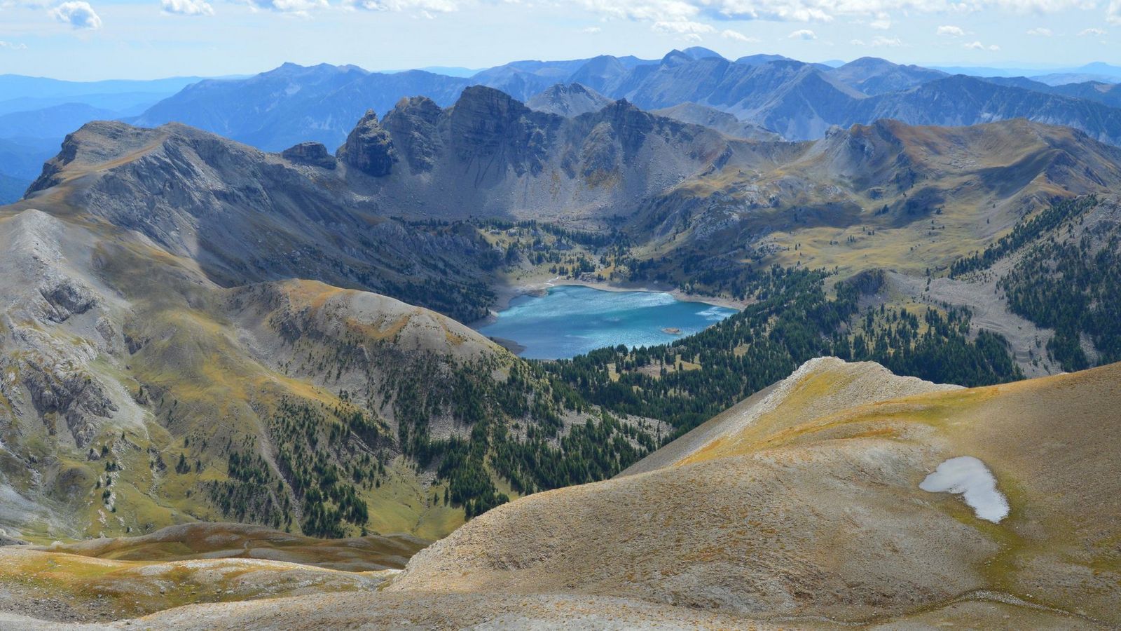
Best June through October; snow is possible at the summit as early as May and as late as November, so check conditions if you’re pushing the edges of that window.
Best hiking trails at Lake Almanor, Plumas County
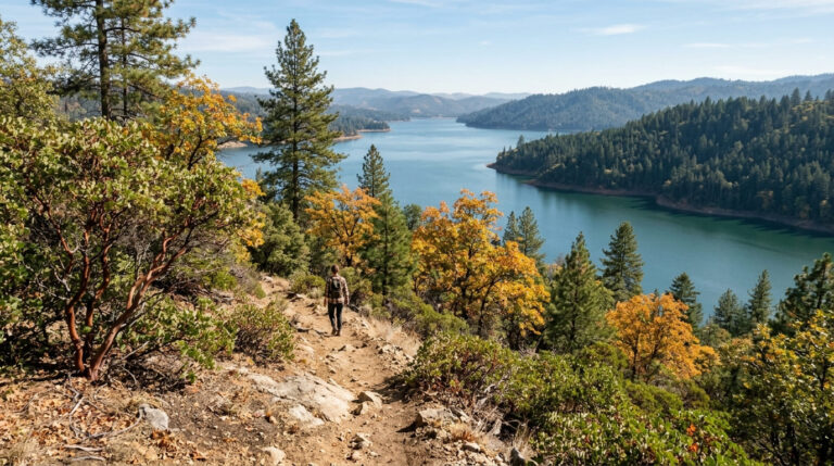
Lake Almanor, the largest reservoir in Plumas County with roughly 52 miles of shoreline, sits on land PG&E originally developed, though the shoreline trail itself is managed by the U.S. Forest Service’s Almanor Ranger District, and anchored by the gateway town of Chester on its western shore.
Lake Almanor Recreation Trail: Plumas County’s best easy lakeside walk
Running roughly 9.5 miles one-way (19 miles round trip), paved and flat, from Chester to Prattville along the lake’s western shore, this trail delivers real Mount Lassen views across the water along with regular osprey and bald eagle sightings overhead.
It’s free, accessible year-round at the lower lakeside sections (snow at lake level itself is rare), and connects directly into downtown Chester, a strong pick for an easy morning walk before tackling something more strenuous elsewhere in the county.
If you’re building broader hiking skills, our hiking safety guide covers preparation worth reviewing before a Bucks Lake Wilderness trip, and checking a route’s current difficulty rating matters as much here as anywhere in the Sierra.
Frequently asked questions: hiking trails in Plumas County
What hiking trails are near Graeagle, California?
Frazier Falls and Gold Lake are both accessible from the Gold Lake Road corridor near Graeagle, offering an easy waterfall hike and an alpine lake day hike within a short drive of the resort community.
How do I hike to Frazier Falls near Graeagle in Plumas County?
Take the trailhead off Gold Lake Road between Graeagle and Bassetts; it’s a paved, accessible 1.1-mile round-trip with about 200 ft of gain, best hiked June through August during peak snowmelt.
What hiking trails are in the Bucks Lake Wilderness?
The Spanish Peak Trail (7 miles round-trip to a 7,017 ft summit) is the wilderness’s signature day hike, with the Pacific Crest Trail also crossing through via the Bucks Summit trailhead for longer trips.
Is there a hiking trail around Lake Almanor in Plumas County?
There’s no full loop around the lake, but the paved Lake Almanor Recreation Trail runs 9 miles one-way along the western shore between Chester and Prattville, flat and accessible year-round.
Do I need a permit to hike in Plumas County wilderness areas?
No, day hiking in Bucks Lake Wilderness and the rest of Plumas National Forest requires no permit; only overnight backcountry camping in designated wilderness would require one.
What is the best hike in Plumas County for a first-time visitor?
Frazier Falls is the strongest first stop, short, paved, and accessible, with a dramatic waterfall payoff that doesn’t require serious fitness or elevation tolerance.