Best Hiking Trails in Tehama County, California
Tehama County straddles the Sacramento Valley floor and the foothills of the southern Cascades, with Red Bluff as its county seat. Its hiking runs from a paved riverside trail through town to one of the most historically significant wilderness areas in California, where a rugged canyon landscape carries the story of the Yahi people who lived there in hiding for decades. Few counties in California pair an easy urban river walk with backcountry Hiking Trails in Tehama County that are this loaded with real history.
Disclosure: Please note that some of the links below are affiliate links and at no additional cost to you, I may earn a commission. Know that I only recommend hiking gear I personally stand behind; when you use my affiliate links, it helps me run this blog and keep all of this content free of charge for readers (like you).
Key takeaways
- Tehama County has three hiking zones: the Sacramento River corridor through Red Bluff, the Ishi Wilderness in the Lassen National Forest foothills, and the Sacramento River Bend BLM area north of town.
- The Ishi Wilderness is named for the last known member of the Yahi people, who emerged near Oroville in 1911 after decades in hiding following a series of massacres in the 1860s that killed most of his tribe.
- Chinook salmon are visible from the Red Bluff River Trail during their October–November run along the Sacramento River banks in the Red Bluff Recreation Area.
- Mill Creek’s swimming holes require a rough, high-clearance access road to reach the trailhead, a standard sedan may not make it in without difficulty.
- Summer heat makes the Ishi Wilderness and Sacramento River Bend dangerous for midday hiking, October through May is the reliable, comfortable season for both.
Hiking in Tehama County: Sacramento River trails and Lassen forest access
Tehama County’s hiking splits between the flat Sacramento Valley floor around Red Bluff and the rugged, canyon-cut foothills to the southeast, where Lassen National Forest’s Ishi Wilderness and Mill Creek carry both dramatic terrain and difficult history. That same valley-to-foothill landscape continues south into the hiking trails in Butte County.
Best hiking trails along the Sacramento River, Tehama County
Red Bluff’s stretch of the Sacramento River, California’s largest river, offers some of the most accessible riverside walking in the northern Central Valley. That same river flows down from Shasta County just to the north, where the Sacramento begins its run through the valley.
Red Bluff River Trail: Tehama County’s best urban riverside walk
This flat trail system offers around 4 to 5 miles of paved path (with additional unpaved extensions) across both riverbanks, connected by bridges, through riparian habitat lined with valley oak, cottonwood, and willow.
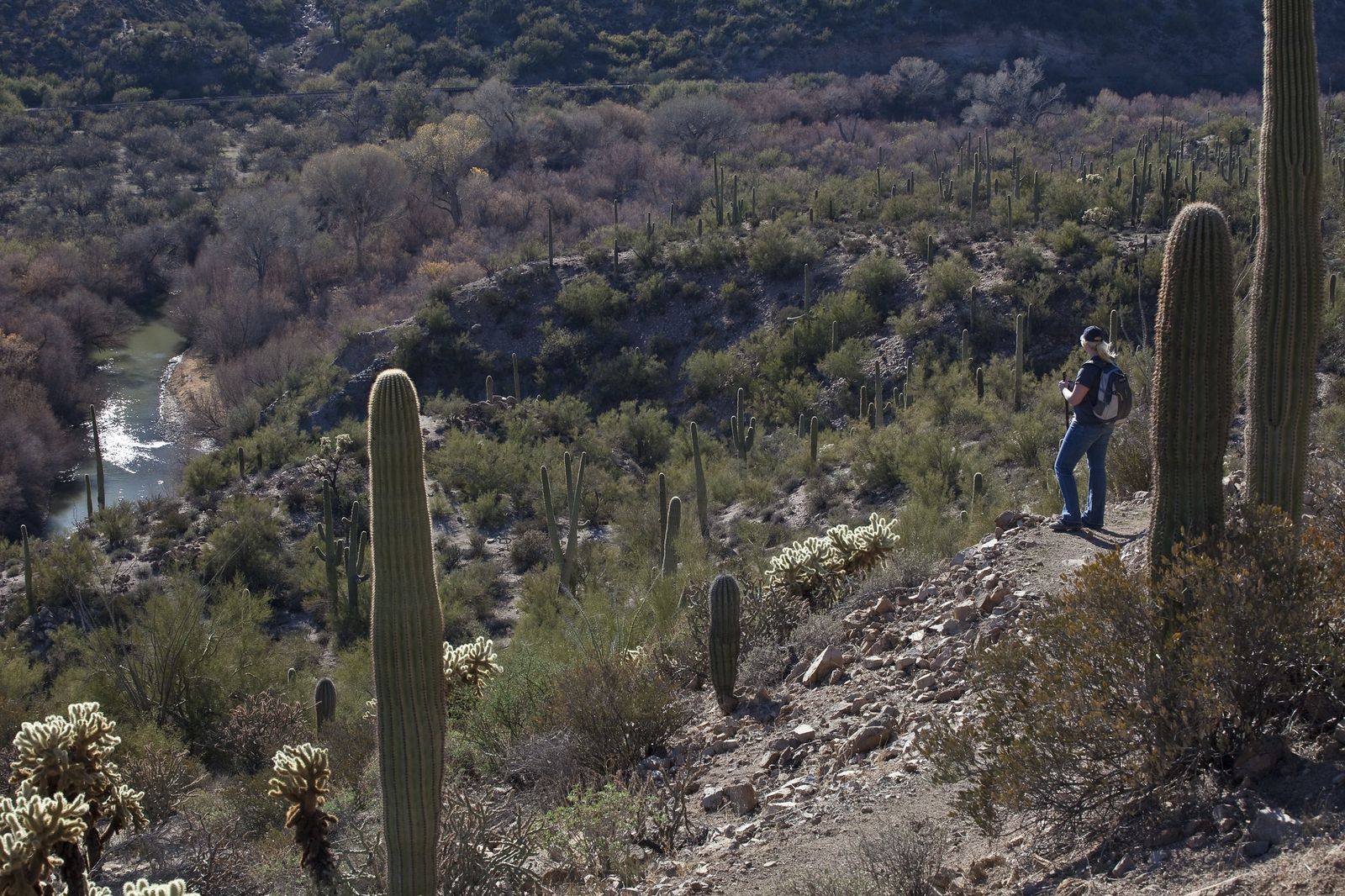
October and November bring the Chinook salmon run, visible from the riverbank within the Red Bluff Recreation Area, where osprey and bald eagles are also regular winter sightings. It’s free, open year-round, dogs are welcome on leash, and the flat grade makes it accessible for nearly any fitness level.
Best hiking trails in the Ishi Wilderness, Tehama County
At roughly 41,000 acres within Lassen National Forest, the Ishi Wilderness protects a rugged landscape of basaltic outcroppings, caves, and steep river canyons cut by Mill Creek and Deer Creek, and a difficult history worth understanding before you go.
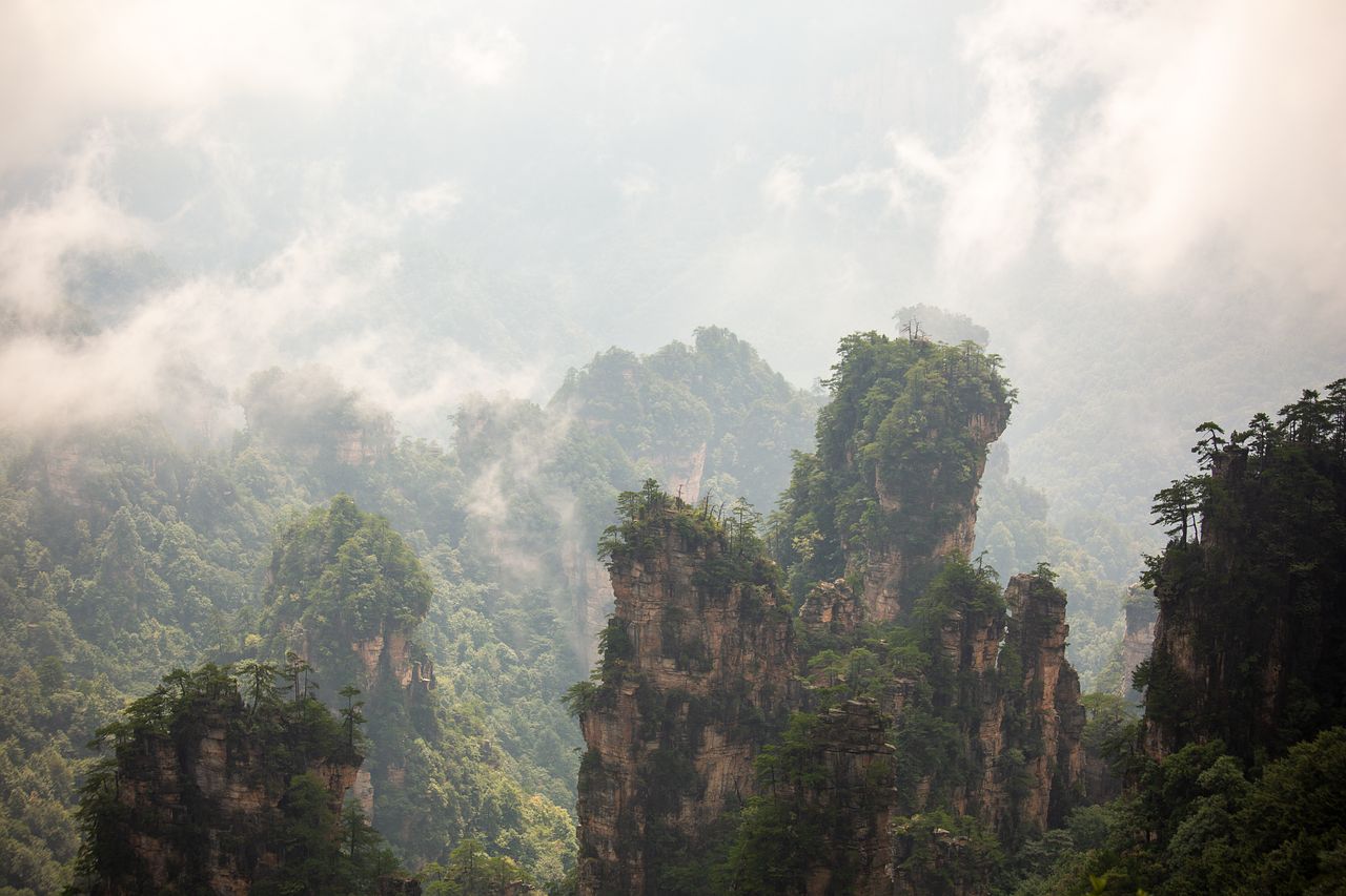
The wilderness is named for Ishi, the last known member of the Yahi people, a Yana-speaking group who lived in this exact canyon country.
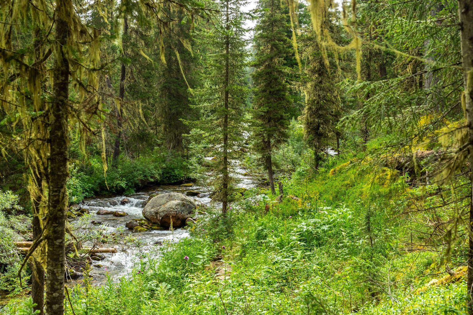
Settler violence in the 1860s and 1870s, including the 1866 Three Knolls Massacre that killed 40 Yahi, reduced the tribe to a handful of survivors who spent the following decades hiding in the Deer Creek and Mill Creek drainages, undetected by the outside world.
Ishi emerged alone near Oroville in 1911, the last of his people, and spent his remaining years at UC Berkeley working with anthropologists before he died in 1916.
The Forest Service asks visitors to treat the wilderness’s archaeological and historical sites with the respect this history deserves; they’re protected by federal law and shouldn’t be disturbed.
Mill Creek Trail: Ishi Wilderness best accessible canyon hike
This roughly 8-mile round trip from the Ponderosa Way trailhead follows Mill Creek through a canyon lined with incense cedar and oak, with cold swimming holes a popular summer draw once the water level allows.
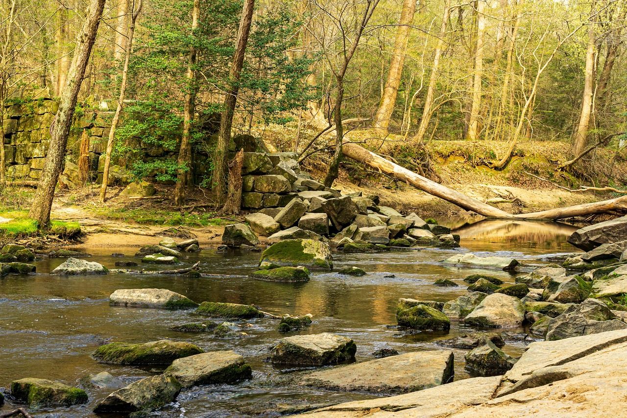
No permit is required, but the dirt access road to the trailhead is rough enough that a high-clearance vehicle is worth having rather than a nice-to-have, and packing our recommended hiking gear checklist ensures you’re prepared for the remote setting.
April through June and October through November are the best windows; summer heat in this canyon country runs extreme enough to make midday hiking risky, so review our California hiking safety guide before heading into the backcountry.
Best hiking trails at Sacramento River Bend, Tehama County
North of Red Bluff, the BLM’s 6,000-acre Sacramento River Bend Area separates its 40-plus miles of hiking trail from its OHV routes, giving quiet foot access to blue oak woodland along the river.
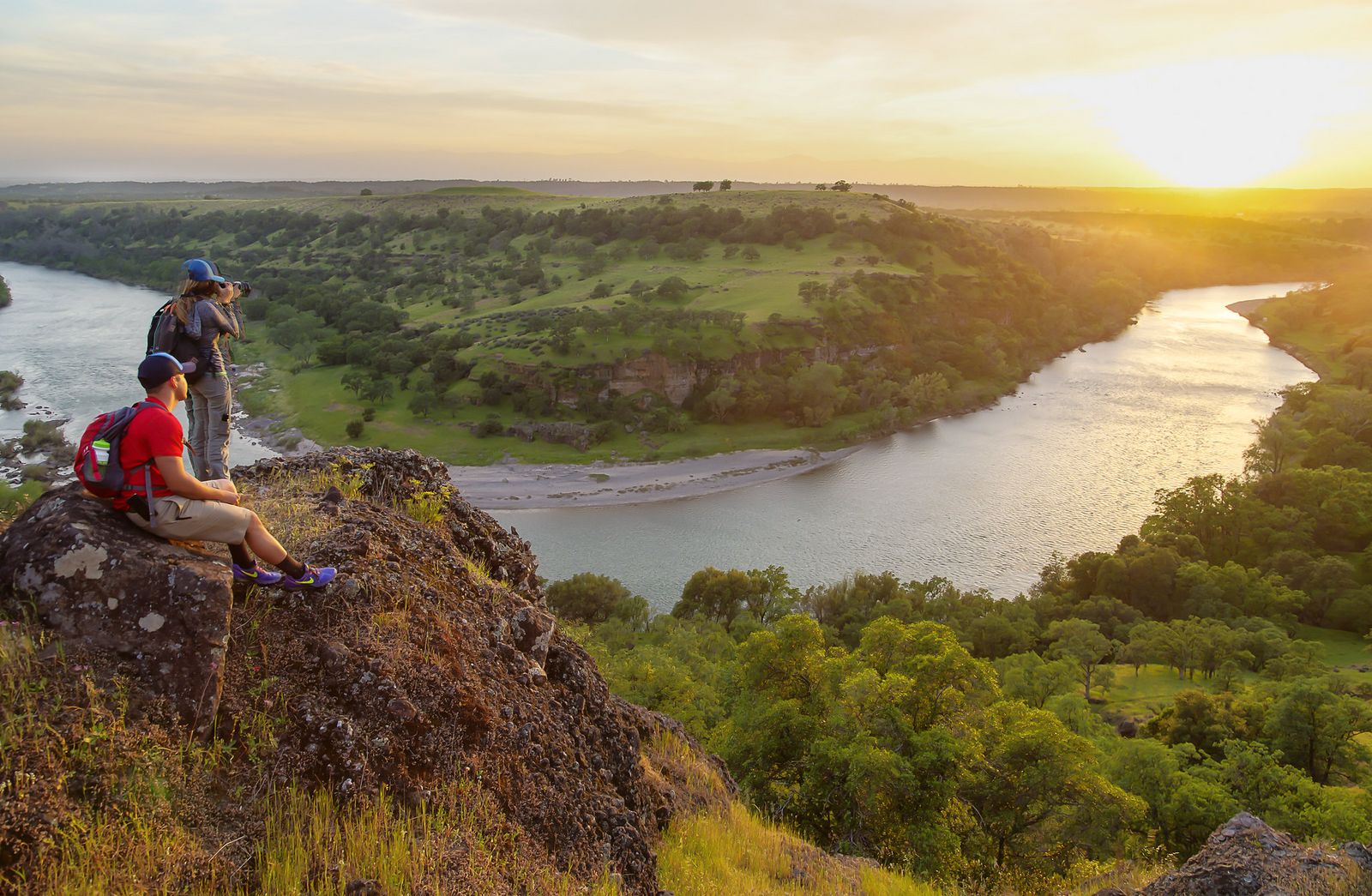
Yana Trail (Bend Ferry): Tehama County’s best oak woodland day hike
This scenic stretch of the Yana Trail accessed from the Bend Ferry Road trailhead crosses blue oak savanna, rolling chaparral, and river canyons, with prairie falcons and golden eagles among the regular raptor sightings.
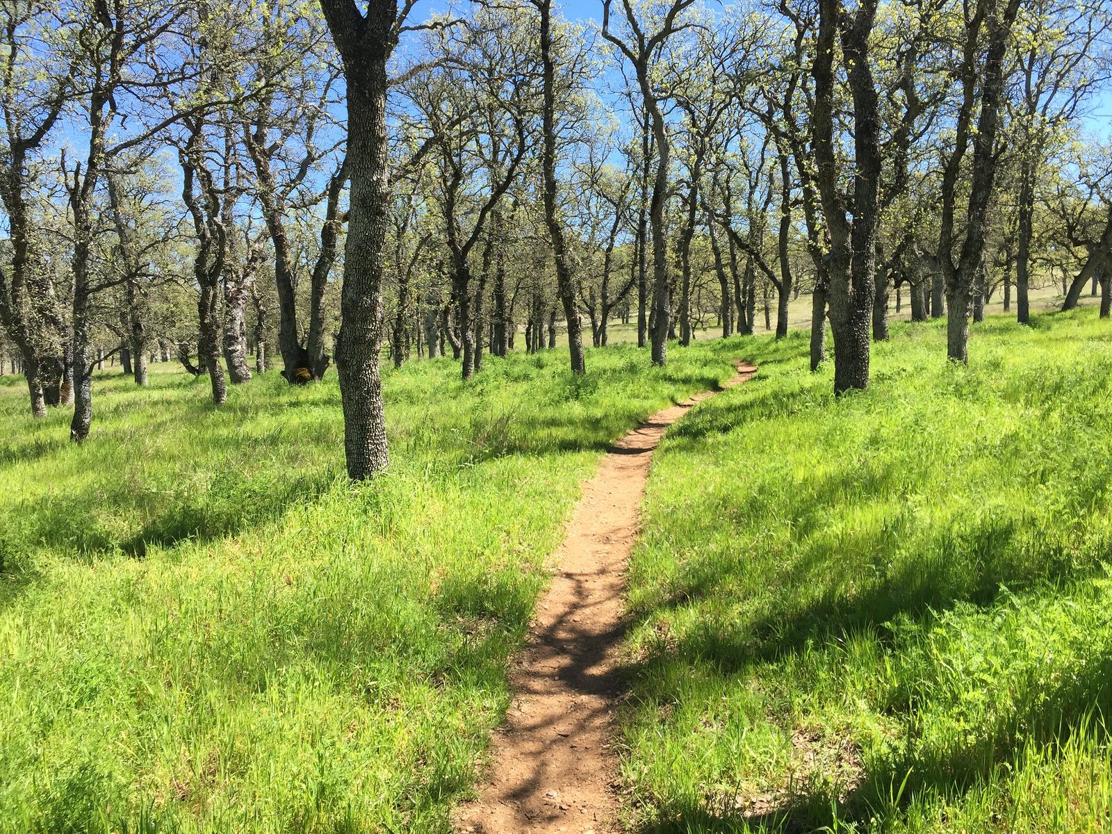
March through April brings the best wildflower display, and the loop is free with no permit required, plus primitive camping allowed on the BLM land if you want to extend the visit. Like Mill Creek, this is a hike for cooler months; our weather hazards guide explains why valley heat becomes a hazard here rather than just a discomfort.
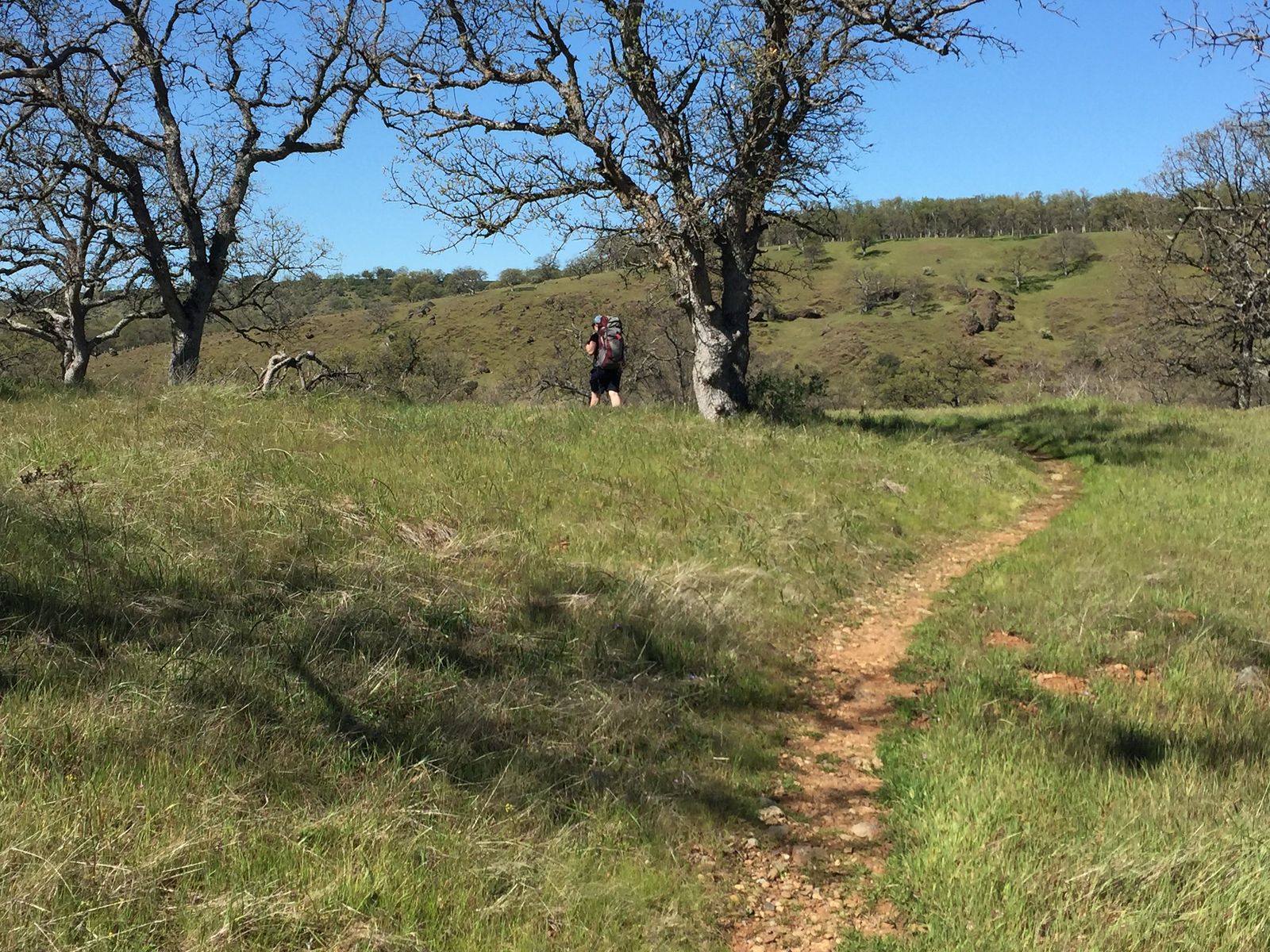
Tehama County rewards a visit that treats its three zones as distinct trips: an easy riverside walk through Red Bluff, a history-aware trip into the Ishi Wilderness, and a wildflower-season outing at Sacramento River Bend.
Start with the Red Bluff River Trail if it’s your first visit, and save Mill Creek or the Yana Trail for the cooler months when both are at their best.
Frequently asked questions about hiking trails in Tehama County
What hiking trails are near Red Bluff, California?
The Red Bluff River Trail is the easiest and most accessible option, a flat 4- to 5-mile paved path (with extended unpaved options) along the Sacramento River. For something more rugged, the Ishi Wilderness and Sacramento River Bend BLM area are both a short drive away.
Is there a trail along the Sacramento River in Tehama County?
Yes, the Red Bluff River Trail offers a flat, paved 4- to 5-mile loop connected by bridges, with unpaved options extending further. It’s free, open year-round, and offers prime riverside spots for viewing the autumn salmon run.
What is the Ishi Wilderness and how do I hike there?
It’s a roughly 41,000-acre wilderness in Lassen National Forest named for Ishi, the last known member of the Yahi people, who lived in hiding in this exact canyon country before emerging in 1911. The Mill Creek Trail from the Ponderosa Way trailhead is the most accessible way to experience it, though the access road requires a high-clearance vehicle.
Can I see salmon in the Sacramento River near Red Bluff?
Yes, Chinook salmon run through in October and November, visible along the Sacramento River banks within the Red Bluff Recreation Area. It’s one of the more reliable salmon-viewing spots in the northern Central Valley.
Are there swimming holes accessible by hiking trail in Tehama County?
Yes, Mill Creek in the Ishi Wilderness has cold, clear swimming holes along its canyon, reached via the Mill Creek Trail. The access road to the trailhead is rough, so plan for a high-clearance vehicle.
What are the best hiking trails in Tehama County, California?
The Red Bluff River Trail is the best easy option, Mill Creek Trail in the Ishi Wilderness is the standout for canyon scenery and history, and the Yana Trail at Sacramento River Bend is the pick for spring wildflowers. All three are free and require no permit.