AllTrails, Gaia GPS, Komoot, or CalTopo: Which Hiking App Actually Fits Your California Trail?
If you’re only going to install one app before your next California hike, make it AllTrails; it has the largest trail database and the easiest learning curve of anything on this list of the best hiking apps for California trails. But “easiest” isn’t the same as “best for every trail,” and I’ve spent enough time in the Sierra backcountry to know exactly where AllTrails hits its limit and something like Gaia GPS or CalTopo takes over. This guide breaks down what each major app actually does well, what it costs right now, and which one fits your specific kind of California hike.
Disclosure: Please note that some of the links below are affiliate links and at no additional cost to you, I may earn a commission. Know that I only recommend hiking gear I personally stand behind; when you use my affiliate links, it helps me run this blog and keep all of this content free of charge for readers (like you).
Key Takeaways:
- AllTrails is the right default for most day hikers: the largest trail database, the easiest interface, and Plus ($35.99/yr) covers offline maps for most trips.
- Gaia GPS is the better choice once you’re leaving marked trails: its topo layer depth and offline reliability beat AllTrails in true backcountry terrain.
- Komoot changed its business model in 2025; it’s now a $59.99/yr subscription instead of one-time map packs, which matters if you’re comparing old reviews to current pricing.
- CalTopo is the one to open before your trip, not during it: unmatched for route planning and printing topo maps, less built for on-trail use.
- Google Maps alone isn’t enough for real California trail navigation: no elevation profile, no offline trail detail, no community conditions.
- A dedicated GPS device still beats a phone in cold, wet, or multi-day conditions where battery life becomes the real constraint.
Why California Hikers Need a Dedicated Trail Navigation App
California’s trail network is large and inconsistent enough that a general-purpose maps app just isn’t built for it: no elevation profile, no trail-specific conditions, and often no idea the trail exists at all once you’re off a paved road. Add in the Sierra Nevada’s dead zones and the desert’s featureless washes, and a dedicated hiking app stops being a nice-to-have and becomes the thing standing between you and a wrong turn with no signal to fix it.
Why Google Maps Isn’t Enough for California Trail Navigation
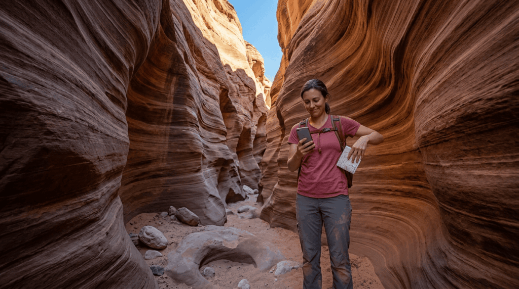
Google Maps shows some trails through its Trails layer, but coverage is inconsistent, there’s no elevation profile, no community-reported conditions, and no purpose-built offline trail download. It’s fine for finding a trailhead parking lot. It’s not built for staying found once you’re on the trail itself.
AllTrails: The Most Popular Hiking App for California Trails
AllTrails is the app most California hikers already have, and for good reason, it’s the largest trail database around, with an interface that doesn’t require any learning curve to start using well.
What Is AllTrails and How Does It Work?
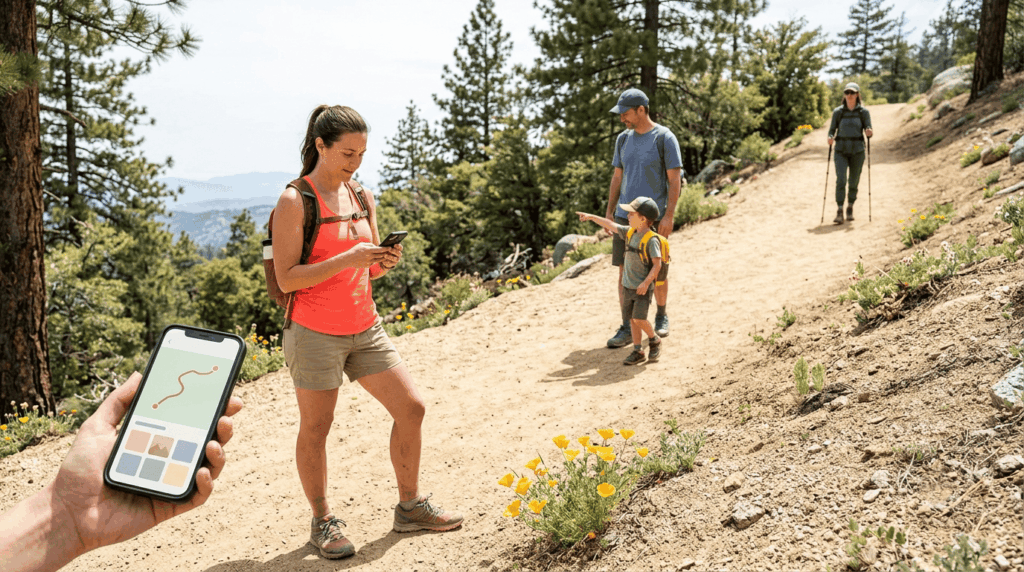
AllTrails works off a crowd-sourced database: hikers upload GPX tracks, leave reviews, post photos, and rate difficulty, which builds up a genuinely useful real-world picture of a trail beyond what an official map would tell you. You search by location or trail name, see distance, elevation gain, and recent conditions, then follow along on the built-in map while you hike.
AllTrails Free vs AllTrails Premium: Is It Worth Paying for California Hiking?
AllTrails now runs three tiers: the free Base tier, Plus at $35.99/year, and a newer Peak tier at $79.99/year. Plus is the one that matters most for safety; it adds offline map downloads, wrong-turn alerts, and trail-specific conditions, which are genuinely useful the moment you’re on a Sierra trail with no signal. Peak adds custom in-app route building, a trail-traffic heatmap, and more detailed weather overlays, worth it if you’re planning your own routes regularly, less essential if you mostly hike existing trails.
My honest take: Plus earns its price the first time it saves you from a wrong turn with zero cell signal. Peak is a “nice to have upgrade,” not a must-have, unless you’re building custom routes often.
How to Download Offline Maps on AllTrails for California Hikes Without Cell Signal
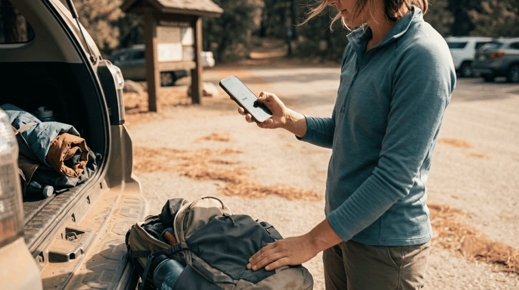
With a Plus or Peak subscription, open the trail page, tap the download icon, and choose to save either the single trail or the entire park. The full-park download is worth it if you’re anywhere near Yosemite or another large, spotty-signal park where you might change plans mid-trip. Do this before you leave home or town, since downloading requires the same cell or wifi signal you’re trying to plan around not needing later.
How to Cancel AllTrails Subscription: Step-by-Step
If you subscribed directly on AllTrails.com or in the app with a card, log in, hover your profile image in the top right, go to Settings, then Account Settings, and select Turn Off Auto-Renew, you’ll keep access through the end of your current billing period. If you subscribed through the Apple App Store, cancel via your iPhone’s Settings app under your Apple ID, then Subscriptions. In the Google Play Store, go to your profile icon > Payments & Subscriptions, then locate AllTrails and cancel there instead.
Gaia GPS: The Best California Hiking App for Backcountry and Off-Trail Navigation
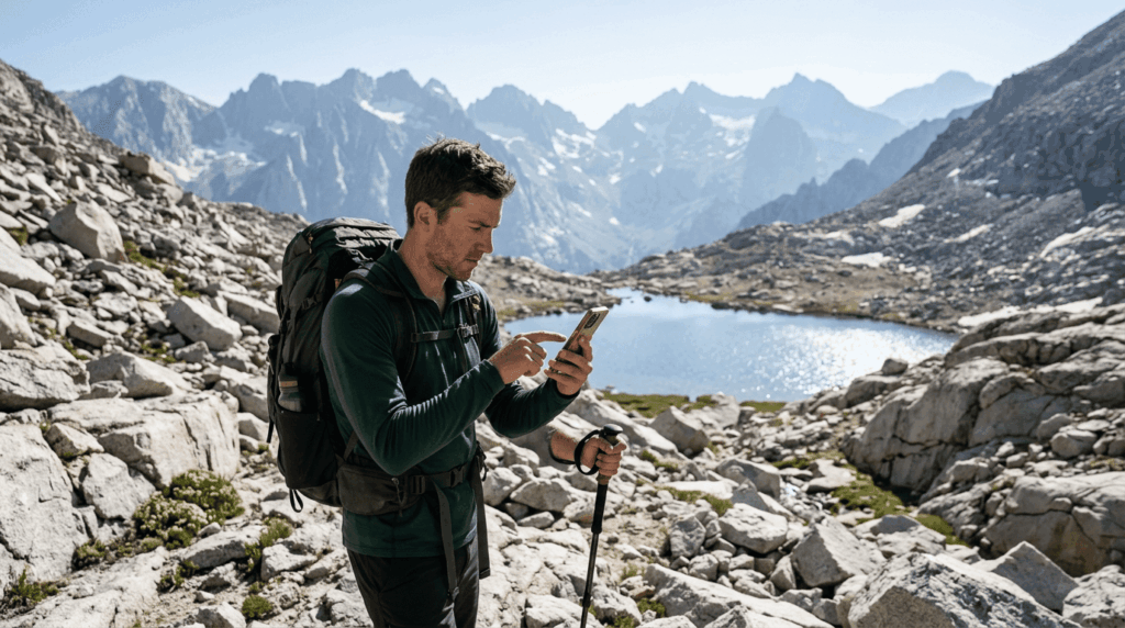
Gaia GPS is built for a different job than AllTrails, less about discovering a popular trail nearby, more about navigating confidently once you’re off the beaten path in the Sierra backcountry.
What Is Gaia GPS and How Is It Different from AllTrails?
Where AllTrails leans on community reviews and ease of use, Gaia GPS leans on topographic depth, layered USGS maps, satellite imagery, and route-planning tools built for people navigating terrain that doesn’t have a marked trail at all. Gaia’s free tier is genuinely useful, but real offline reliability and the deeper map layers sit behind a paid membership.
Gaia’s paid structure has consolidated around Premium with Outside+ at roughly $89.99/year, which bundles the mapping features with Outside’s broader outdoor media content. Standalone Premium pricing has shifted more than once in the past couple of years, so I’d check Gaia’s current plans page directly before assuming any older review’s number still holds.
How to Use Gaia GPS for Offline Navigation on California Sierra Trails
Download your route’s map area before you lose signal, choosing a topo layer like Gaia Topo or USGS quads depending on how much terrain detail you want. Drop waypoints for water sources, campsites, and any decision points on the route, since those become critical reference points once you’re navigating by contour lines instead of a marked path.
How to Send a Gaia GPS Route to a Garmin Device
Export your planned route as a GPX file from Gaia GPS, then import that file into Garmin Connect or transfer it directly to a compatible Garmin device. This is the same basic GPX handoff that works between most mapping apps and GPS hardware, not something unique to Gaia specifically.
Komoot: Trip Planning and Trail Discovery for California
Komoot is unique. Its core strength is trip planning with voice-guided, turn-by-turn navigation and “Highlights”, points of interest like waterfalls and viewpoints tagged along a route by other users.
How Komoot Compares to AllTrails for California Trip Planning
Here’s the honest update: Komoot’s business changed meaningfully after a 2025 acquisition. It used to run on one-time region purchases (a “World Pack” around $30 that you’d own forever); now new users need a $59.99/year Premium subscription to get full navigation, offline maps, and device syncing. If you’re comparing Komoot to an old review that mentions cheap map packs, that pricing is outdated for new signups.
Against AllTrails, Komoot’s real edge is the turn-by-turn voice navigation and its trip-planning-first design, genuinely nice for building a multi-stop day. AllTrails still wins on sheer trail database size and community reviews for California specifically.
Dedicated GPS Devices vs Smartphone Apps for California Trail Navigation
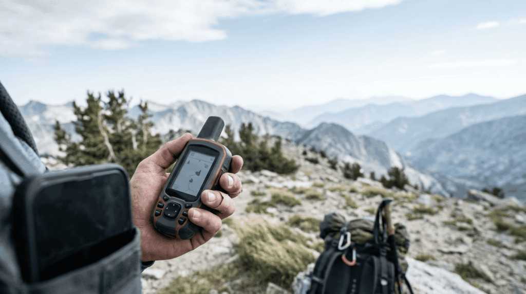
A phone running any of these apps covers most day hikes fine, but there’s a real point where a dedicated GPS device, a Garmin inReach, Garmin eTrex, or GPSMAP, starts to make more sense.
When to Use a Garmin GPS Device Instead of Your Phone on a California Trail
Battery life is the real deciding factor: a phone burns through charge fast in cold weather or direct sun, while a dedicated GPS device is built to last multiple days on the same charge. A Garmin inReach adds two-way satellite messaging on top of navigation, which matters specifically in Sierra backcountry or desert stretches with no cell coverage at all, something no phone app alone can replicate without its own satellite hardware.
My rule: day hikes near cell coverage, a phone app is plenty. Multi-day Sierra trips or genuine backcountry routes, a dedicated device (or at minimum a satellite messenger alongside your phone) earns its keep.
A Map That Lets You Plan Out Your Walk: Web-Based Trip Planners for California
Before you ever open a phone app on trail, a web-based planner is often the better tool for actually building the route in the first place.
CalTopo: The Ultimate Web-Based Map Planner for California Backcountry Routes

CalTopo blends multiple map layers, USGS topo, aerial imagery, and slope-angle shading, into one custom map you can print or export, which makes it genuinely useful for planning a Sierra backcountry route before you ever leave home. The free tier covers a lot of this already; the paid Basic tier (around $20/year) adds larger printable maps and more saved private routes, with Pro and Desktop tiers above that for weekly high-resolution satellite imagery and more advanced features.
I plan every serious backcountry route in CalTopo first, then load the finished GPX track into Gaia GPS or AllTrails for the actual on-trail navigation; the two tools do genuinely different jobs well.
App Comparison at a Glance
| App | Best for | Starting price | Works offline | Standout feature |
|---|---|---|---|---|
| AllTrails | Popular trails, ease of use, community reviews | Free; Plus $35.99/yr | Yes (Plus/Peak) | Largest trail database, wrong-turn alerts |
| Gaia GPS | Backcountry and off-trail navigation | Free; Premium with Outside+ ~$89.99/yr | Yes (paid tiers) | Deep topo layers, USGS map data |
| Komoot | Trip planning, turn-by-turn discovery | Free (1 region); Premium $59.99/yr | Yes (Premium) | Voice-guided navigation, trail Highlights |
| CalTopo | Route planning and printing topo maps | Free; Basic ~$20/yr | Yes (paid tiers) | Custom layers, slope-angle shading |
If I had to boil this down to one recommendation: start with AllTrails for nearly any California day hike, add Gaia GPS or CalTopo once you’re planning backcountry or off-trail routes, and never let a marked trail be the only thing standing between you and knowing your way back. Apps fail, batteries die, screens crack, signal drops in exactly the canyon you needed it most.
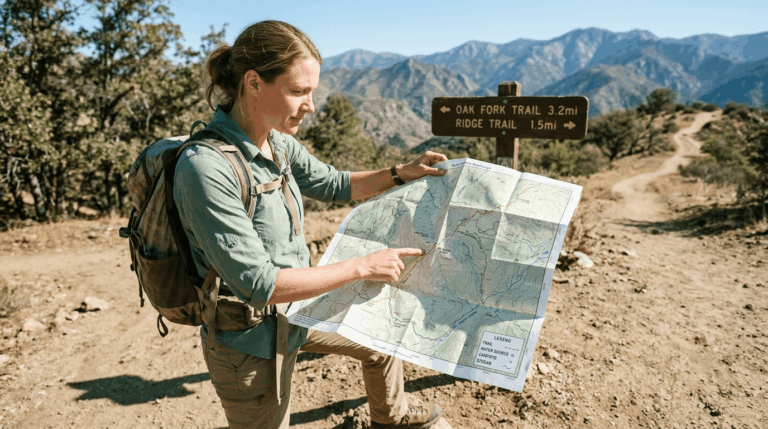
That’s exactly why I still think every serious California hiker should know how to read a paper topo map as a backup, not a replacement. I’ve covered that skill in full in the how to read a trail map guide, and the broader risk of relying on digital-only navigation is covered in the navigation hazards guide. If you’re still building out your kit, the hiking gear checklist covers what navigation tools belong in your pack alongside your phone.
Frequently Asked Questions: Hiking Apps for California Trails
Is AllTrails free to use in California?
Yes, the free Base tier covers trail search, reviews, photos, and basic on-trail navigation with no subscription required. You’ll need Plus or Peak specifically for offline map downloads and wrong-turn alerts.
How much does AllTrails Premium cost?
AllTrails Plus runs $35.99/year, and the newer Peak tier runs $79.99/year for hikers who want custom route building and more advanced planning tools. Plus covers what most day hikers actually need.
How do I cancel my AllTrails subscription?
If you subscribed directly through AllTrails.com, go to Settings, then Account Settings, and select Turn Off Auto-Renew. If you subscribed through the Apple App Store or Google Play, you’ll need to cancel through that platform’s subscription settings instead.
What is the best hiking app for California backcountry trails?
Gaia GPS is my pick once you’re off marked trails, thanks to its topo layer depth and offline reliability. CalTopo is the better tool for planning that same backcountry route before you leave home.
Does AllTrails work without cell service in the Sierra Nevada?
Yes, but only if you’ve downloaded the trail or park map ahead of time using a Plus or Peak subscription. Trying to load an undownloaded trail with no signal simply won’t work, so download before you lose coverage, not after.
What is the difference between AllTrails and Gaia GPS?
AllTrails focuses on trail discovery, community reviews, and ease of use for popular, marked trails. Gaia GPS focuses on topographic depth and off-trail navigation, making it the stronger choice once you’re navigating terrain without a defined path.