Best Hiking Trails in Tehama County, California
Tehama County straddles the Sacramento Valley floor and the foothills of the southern Cascades, with Red Bluff as its county…
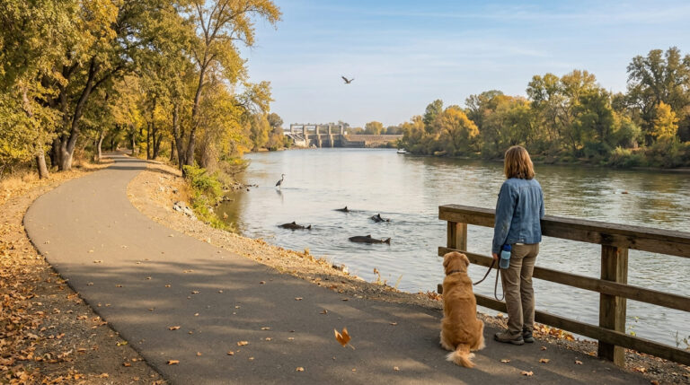
Tehama County straddles the Sacramento Valley floor and the foothills of the southern Cascades, with Red Bluff as its county…
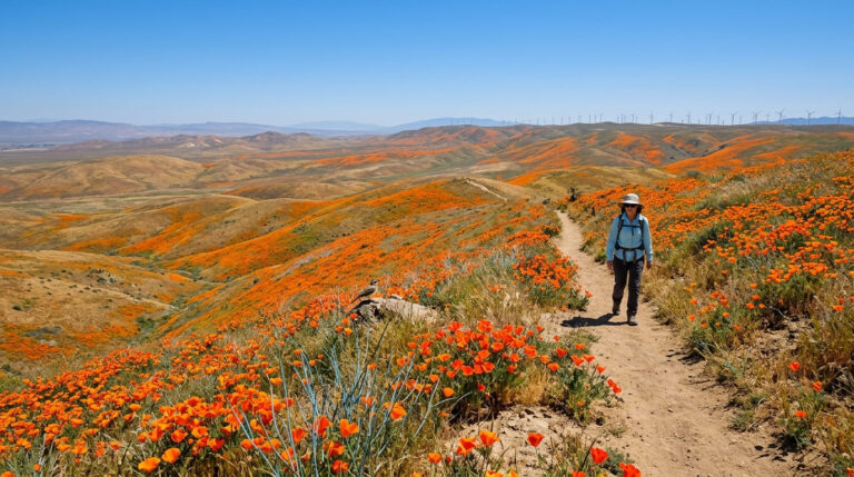
You don’t need a once-a-decade superbloom to see wildflowers in California; you need to be in the right place at…
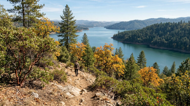
Yuba County runs from Gold Rush-era Marysville up into the Sierra Nevada foothills, where Bullards Bar Reservoir’s 55 miles of…
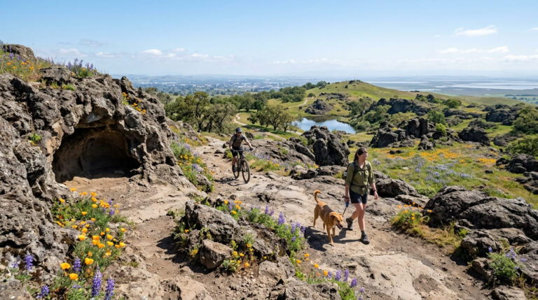
Solano County sits between Sacramento, Napa County, and the Bay Area, and its hiking reflects that in-between geography: rocky volcanic…
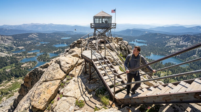
Much of Sierra County sits within Tahoe National Forest, and its 953 square miles hold some of the most photographed…
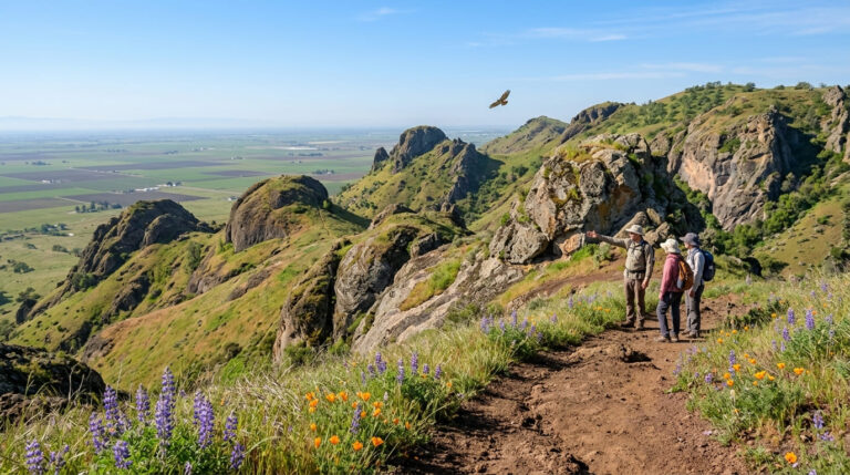
Sutter County is flat Sacramento Valley farmland surrounding a bizarre geological feature: the Sutter Buttes, widely called the world’s smallest…
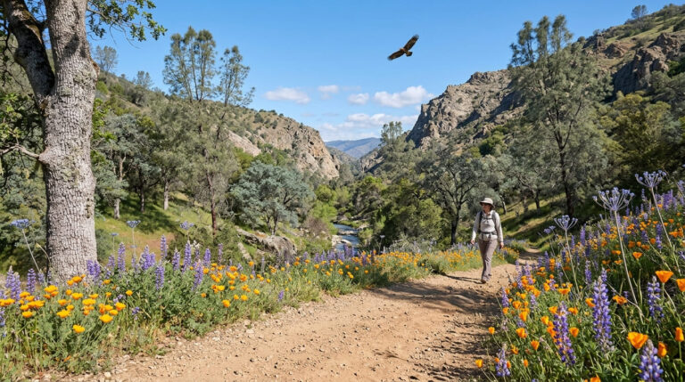
Though much of the area is Central Valley agricultural land centered on Modesto, its outer edges hold the most notable…
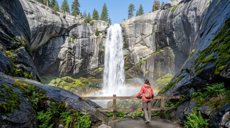
Plumas County holds one of the largest national forests in the Sierra Nevada, a dramatic 3,000-foot-deep river canyon, and a…
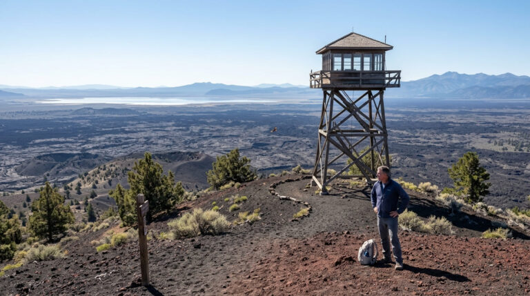
Modoc County, in California’s remote northeastern corner, is the state’s least-visited county, with fewer than 9,000 residents spread across a…
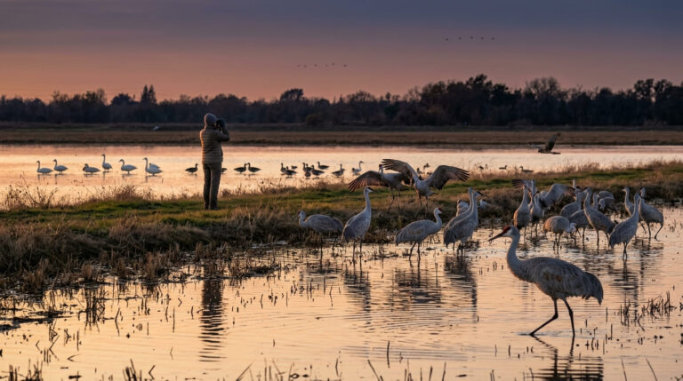
The best Hiking Trails in San Joaquin County are defined by water rather than elevation: the flat, levee-laced Sacramento-San Joaquin…
