5 Best Hiking Trails in San Diego for Every Skill Level, From Cowles Mountain to Cuyamaca Peak
If you only have time for one San Diego hike this weekend, make it Cowles Mountain; it’s the fastest way to earn a 360-degree view of the whole county for under 950 feet of climbing. But it’s not the right pick for everyone. San Diego County runs from sea-level reservoirs to 6,500-foot peaks, and I’ve picked five trails that cover that range: one flat paved loop a five-year-old can finish, and one 7.5-mile grind that ends with a line to take a photo. This selection highlights the Best Hiking Trails For All Levels across the region.
Disclosure: Please note that some of the links below are affiliate links and at no additional cost to you, I may earn a commission. Know that I only recommend hiking gear I personally stand behind; when you use my affiliate links, it helps me run this blog and keep all of this content free of charge for readers (like you).
Key takeaways
- Best true beginner win: the Lake Murray Loop in La Mesa, flat, paved, and free, with zero exposure risk.
- Best “I only have an hour” hike: Cowles Mountain, San Diego’s most climbed peak, and the highest point in the city itself.
- Best step-up from Cowles: Iron Mountain in Poway, roughly double the mileage, a noticeably harder grade, and far fewer tourists.
- Hardest trail on this list, hands down: Mount Woodson to Potato Chip Rock, 7.5 miles and over 2,000 feet of gain for the photo everyone’s seen on Instagram.
- Best cool-air escape in summer: Cuyamaca Peak, the county’s second-highest summit, and genuinely 10-15°F cooler than the coast.
- I hike all five of these on a regular rotation, and my rule for every one of them is the same: start at sunrise. San Diego chaparral has almost no shade, and these trails get hot and crowded fast once the sun’s up.
How these five trails compare
| Trail | Round-trip distance | Elevation gain | Difficulty | Best for |
|---|---|---|---|---|
| Cowles Mountain (Mission Trails) | ~3 mi | ~950 ft | Moderate | First-timers wanting a summit fast |
| Iron Mountain (Poway) | ~5.7 mi | ~1,200 ft | Moderate–strenuous | Stepping up from Cowles |
| Mount Woodson / Potato Chip Rock | ~7.5 mi | ~2,000-2,100 ft | Hard | Bucket-list photo, fit hikers only |
| Lake Murray Loop (La Mesa) | ~5.7 mi (paved, flat) | ~110 ft | Easy | True beginners, families, dogs |
| Cuyamaca Peak (Cuyamaca Rancho SP) | ~6.5 mi | ~1,650 ft | Moderate–strenuous | Forest, cooler air, county’s 2nd-highest peak |
Cowles Mountain Trail (Mission Trails Regional Park)
Cowles Mountain is the trail every San Diego local has done at least once, usually before 8 a.m. It’s the highest point within the city limits, and it sits inside Mission Trails Regional Park, the same 8,000-acre park that also holds Kwaay Paay Peak and Fortuna Mountain, two of our favorite sunset picks, if you want more after this one.
Trailhead access and parking on Golfcrest Drive and Barker Way
The main trailhead sits at the corner of Golfcrest Drive and Navajo Road in the San Carlos neighborhood, with a paved parking lot that fills up by mid-morning on weekends, plan on street parking along Golfcrest if you arrive after 8 a.m. A quieter, less-used second trailhead starts near Boulder Lake Avenue and Barker Way and meets the main trail close to the summit; I’d send first-timers to Golfcrest since it’s the more direct, better-marked route.
Difficulty, distance and elevation gain to San Diego’s highest city peak
Plan on roughly 3 miles round trip with about 950 feet of elevation gain, which most hikers finish in 1.5 to 2 hours. The city of San Diego lists the summit at 1,591 feet, making it the highest point in Mission Trails Regional Park and the City of San Diego. It’s rated moderate rather than easy for one reason: the climb is essentially constant from the trailhead to the top, with almost no flat stretches to recover on.
What you’ll see: 360-degree views from downtown to the Pacific and Mexico
The payoff is a wide-open summit panorama, downtown San Diego, Orange County, Catalina Island, and on a clear day, Mexico. I’ve hiked this at both sunrise and sunset, and sunrise wins for clarity, since the marine layer usually burns off along with the crisp visibility by mid-morning.
Best time to hike Cowles Mountain: sunrise beats the crowds and the heat
This is one of the most-searched hikes in the county, and the trail has almost no shade, so hiking early in the morning or late in the afternoon is the best way to avoid both the crowds and the sun. My rule: if you’re not at the Golfcrest lot by 7 a.m. on a Saturday, you’re hiking with a hundred other people.
Iron Mountain Trail (Poway)
If Cowles Mountain felt too short, Iron Mountain is the natural next step, with similar chaparral terrain, but close to double the distance and a meaningfully longer climb. It’s one of the county’s most popular training hikes for people building up to bigger peaks. If that much climbing doesn’t sound appealing, our best canyon hiking trails in San Diego County guide covers shadier routes with a fraction of the elevation gain.
Trailhead access and parking at the main Iron Mountain Trailhead and Ellie Lane
Most hikers start at the main Iron Mountain Trailhead directly off CA-67, which has the largest lot in the area, and it still fills fast, with cars lining the highway shoulder by mid-morning on weekends. If that lot is full, the Ellie Lane Trailhead sits about half a mile north; it’s a genuinely quieter alternative, though it adds distance if you’re aiming for the main summit route rather than the longer Ellie Lane loop.
Difficulty, distance and elevation gain on the Iron Mountain climb
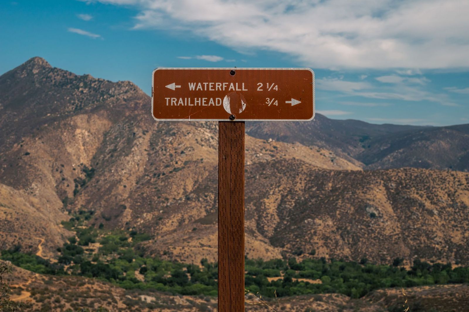
The standard out-and-back from the main trailhead runs about 5.7 miles round trip with roughly 1,200 feet of elevation gain, a real step up from Cowles Mountain, but still rated moderate rather than hard. Hikers who connect through Ellie Lane for the longer loop option should expect closer to 7-9 miles and significantly more climbing, so know which version you’re signing up for before you start.
What you’ll see: a summit register and panoramic views of Poway Valley
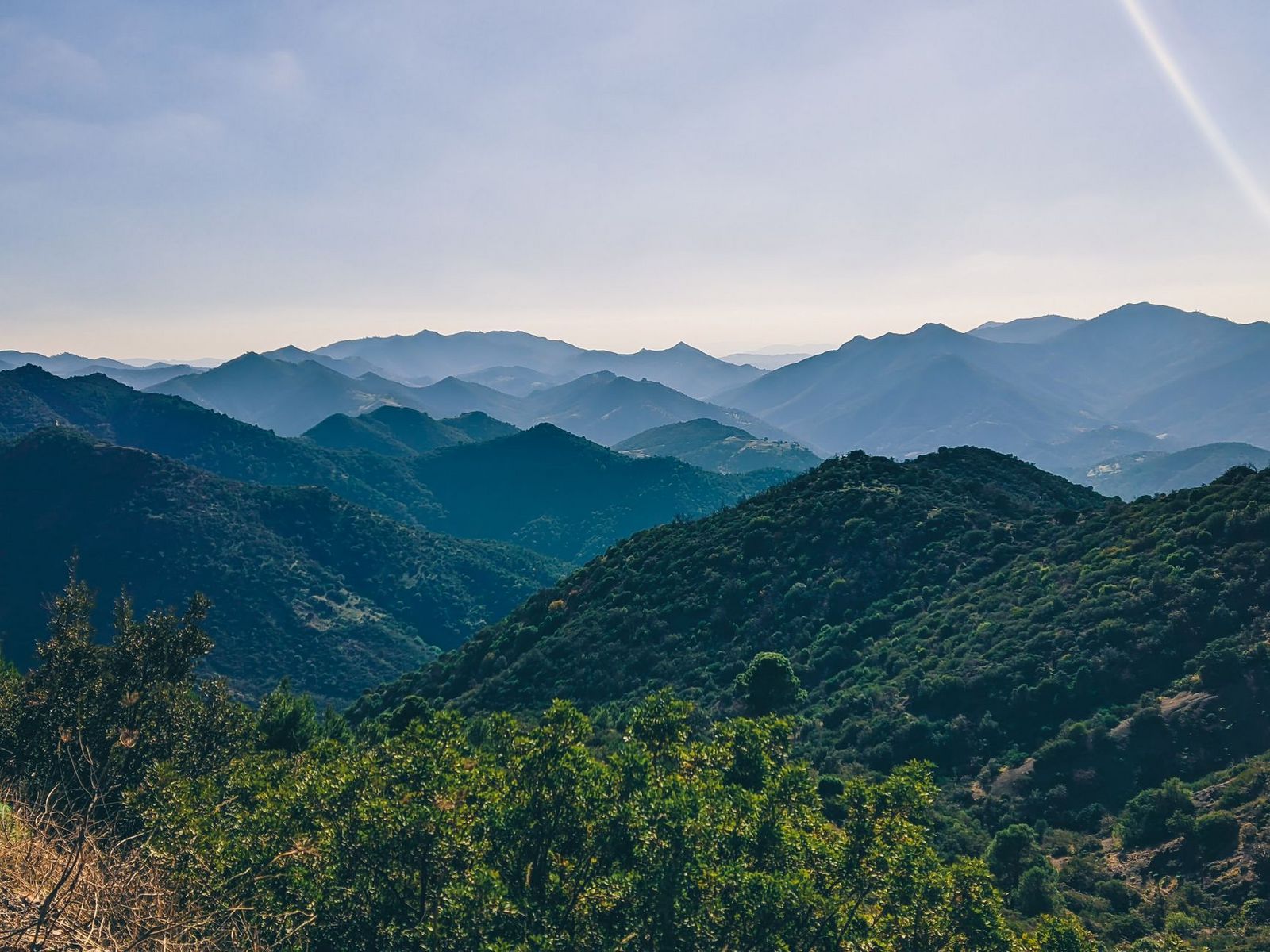
The summit holds a small register book that’s become a local tradition, plenty of hikers sign in just to see how many people made the climb that week. Beyond that, you get sweeping views over Poway Valley and Lake Poway, with Mount Woodson visible to the northeast.
Best time to hike Iron Mountain: why locals hike it at sunrise
Like most exposed San Diego peaks, Iron Mountain has minimal shade and gets genuinely hot by mid-morning in summer. I always start before sunrise here if I can, it’s become enough of a local tradition that you’ll regularly run into other headlamp-wearing hikers on the switchbacks before the sky even starts to lighten.
Mount Woodson Trail (Potato Chip Rock)
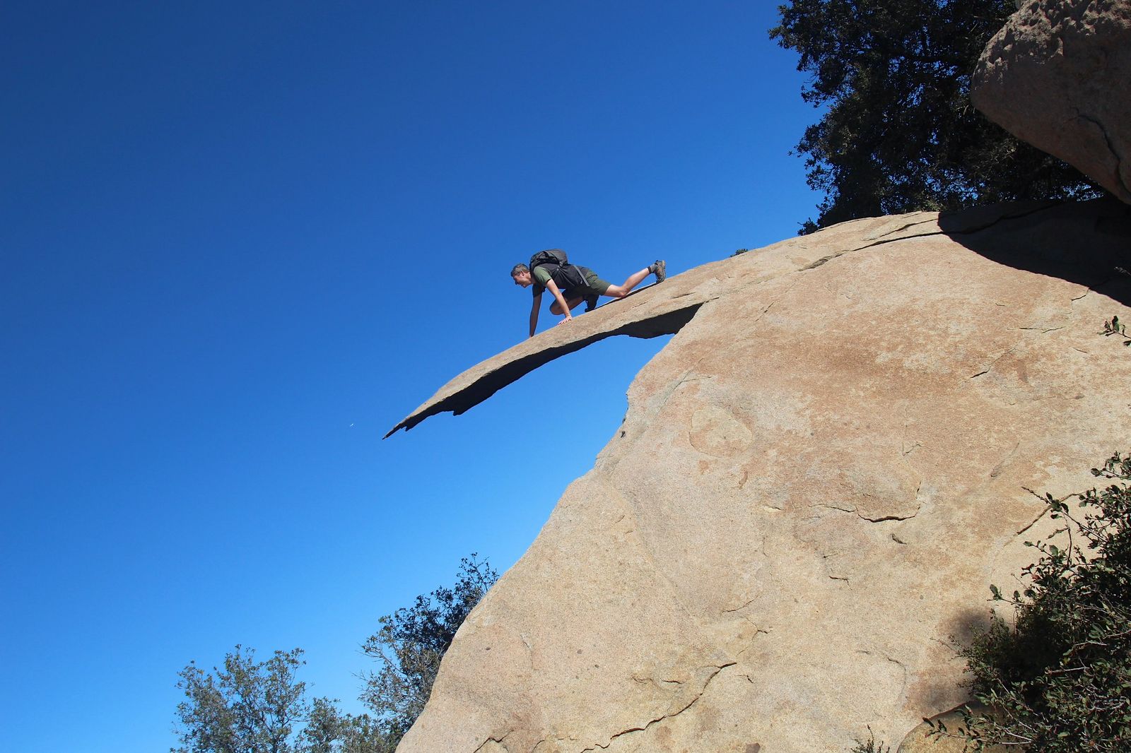
This is the hardest trail on this list, and I want to be upfront about that, the internet makes Potato Chip Rock look like a casual selfie stop, and it’s really a 7.5-mile hike with over 2,000 feet of climbing to get there. If you’d rather trade the climb for ocean air, our guide to the best hiking trails near the coast in San Diego County is a gentler way to spend the day.
Trailhead access and parking at Lake Poway
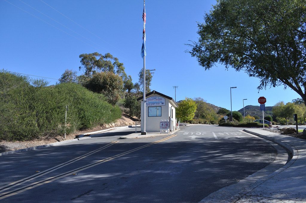
The most popular route starts at the Lake Poway Trailhead, which has a large lot, restrooms, and drinking water, but charges a day-use fee for non-Poway residents, expect around $10 on weekends and holidays, free on weekdays as of 2026 (rates can change, so confirm on the City of Poway’s site first). A shorter, steeper 4-mile alternative starts off CA-67 near Ramona with free roadside parking, but it skips Lake Poway and has essentially no facilities.
Difficulty, distance and elevation gain to Potato Chip Rock
From Lake Poway, plan on roughly 7.4 to 7.5 miles round trip and about 2,000 to 2,100 feet of elevation gain, genuinely the most physically demanding hike in this guide, and one I wouldn’t recommend as anyone’s first San Diego summit attempt. Give yourself 4 to 5 hours.
What you’ll see: the famous Potato Chip Rock photo spot
Potato Chip Rock is a thin, wafer-shaped granite slab jutting off the Mount Woodson summit, and it’s the single most photographed hiking landmark in San Diego County. It’s a real formation with real exposure on either side, so treat the edge with the same respect you’d give any cliff.
Best time to hike Mount Woodson: weekday mornings to skip the line
The rock itself creates a bottleneck, everyone wants the same shot, and on busy weekends the wait for your turn can run 30 minutes or longer. My honest take: if a great photo matters to you, do this hike on a weekday morning. Weekend afternoons turn the summit into a queue.
Lake Murray Loop Trail (La Mesa)
After three summit hikes, Lake Murray is the reset button, flat, paved, and about as low-risk as San Diego hiking gets. One correction to flag: it’s commonly called the “Lake Murray Loop,” but a gated section means it’s actually an out-and-back trail, not a true loop, budget for the full round-trip distance, not a shorter one-way loop.
Trailhead access and parking at Kiowa Drive and Baja Drive
Both entrances, off Kiowa Drive and off Baja Drive in La Mesa, have free paved parking lots with plenty of space, even on busy weekends. This is the one trail on this list where I’ve genuinely never struggled to find a spot.
Difficulty, distance and elevation gain on the Lake Murray path
The full out-and-back along the reservoir runs about 5.7 miles round trip with only around 110 feet of elevation gain, flat enough that it’s rated easy across the board, and it’s the clear beginner pick in this group. Prefer something shorter? You can turn around at any point and still get a full lake view.
What you’ll see: a reservoir loop with waterfowl and skyline views
Lake Murray draws a steady population of herons, cormorants, and other waterfowl, and on clear stretches of the path you’ll catch distant glimpses of the downtown San Diego skyline across the water. It’s a genuinely different scene from the chaparral-and-granite summits earlier on this list.
Best time to hike the Lake Murray Loop: a year-round, any-time option
Because it’s low elevation, mostly shaded in sections, and paved, this is the one trail on this list I don’t think twice about hiking at noon in July. The park does close its gates at a set time in the evening, so don’t linger past posted hours if you parked inside the main lot.
Cuyamaca Peak Trail (Cuyamaca Rancho State Park)
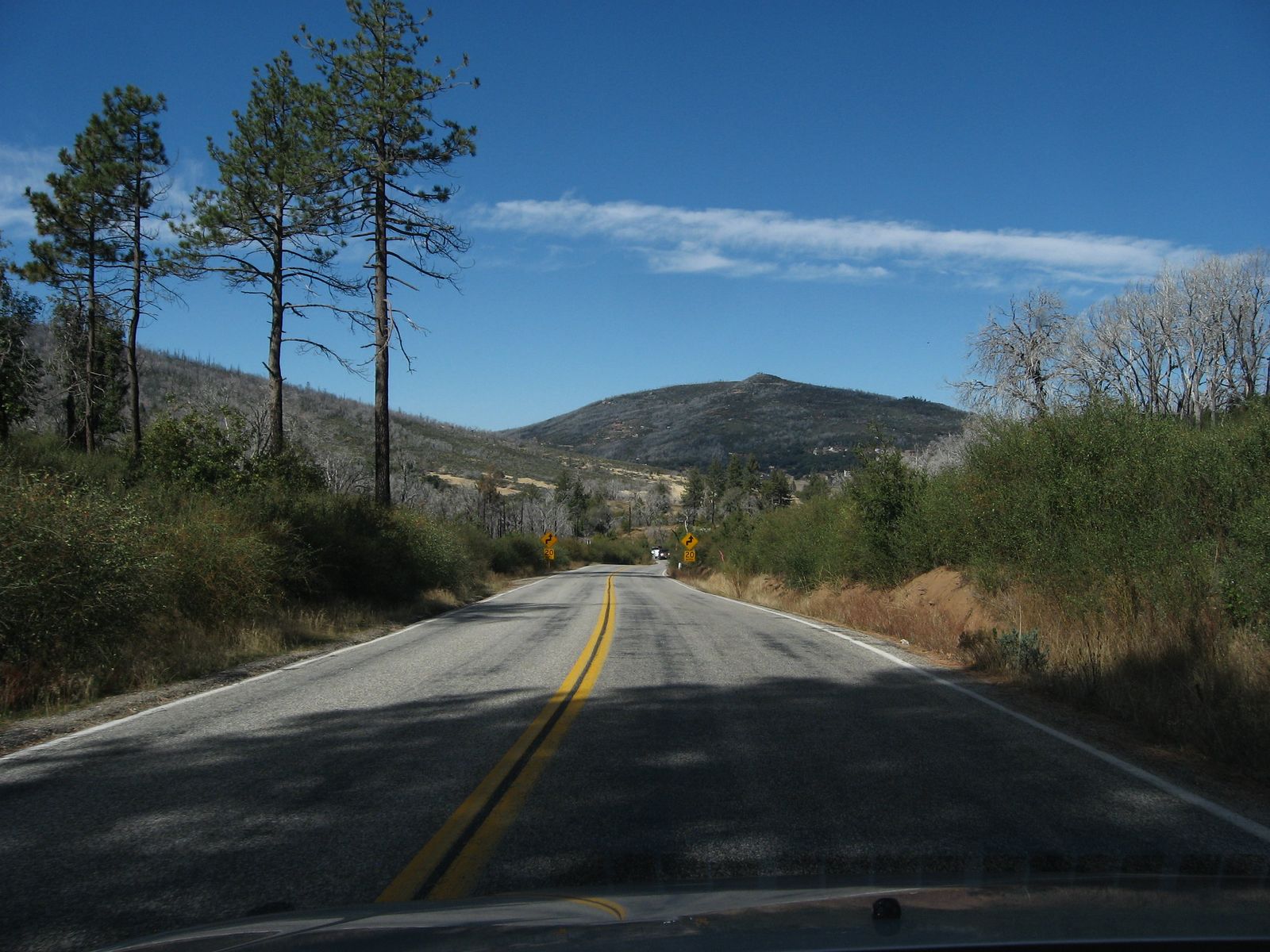
Cuyamaca Peak closes out this list because it’s the outlier, forested, high-elevation, and a genuine escape from coastal heat, an hour east near Julian.
Trailhead access and parking at Paso Picacho Campground
The hike starts at Paso Picacho Campground, the only fee-based trailhead on this list, expect a state park day-use fee (roughly $10 as of 2026; check the current rate on the CA State Parks site). It’s also the only trail here with a real chance of snow in winter, since the trailhead sits around 5,000 feet.
Difficulty, distance and elevation gain to San Diego County’s second-highest peak
Via the paved Lookout Fire Road/Azalea Glen route, plan on roughly 6.5 miles round trip with about 1,650 feet of elevation gain. At 6,512 feet, Cuyamaca Peak is the second-highest peak in San Diego County, sitting about 20 feet lower than Hot Springs Mountain near Warner Springs, but it’s far more accessible, since Hot Springs Mountain requires crossing tribal land and paying a separate entry fee.
What you’ll see: forested switchbacks and views to the Salton Sea
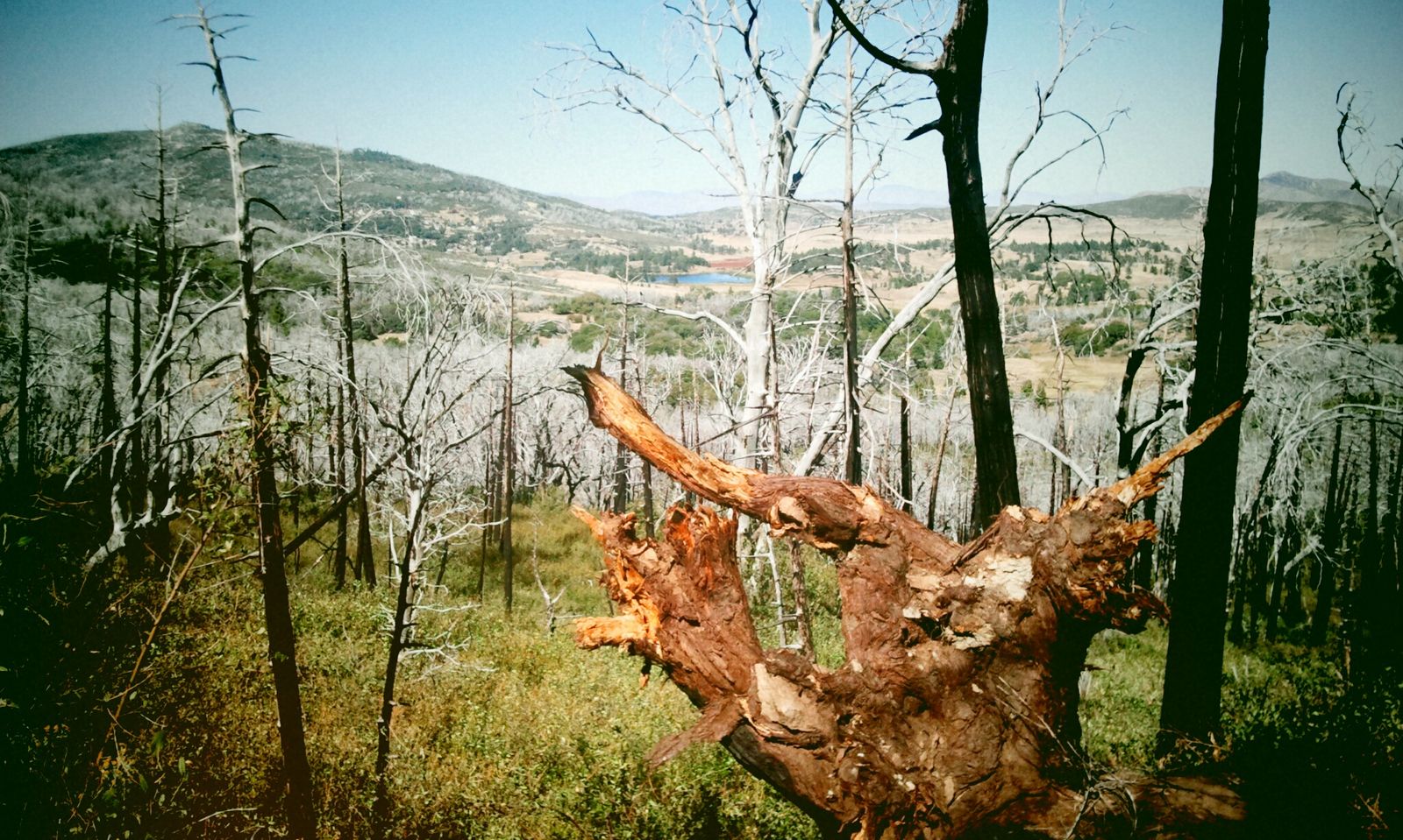
Unlike every other trail on this list, Cuyamaca climbs through actual forest, mixed conifer still visibly recovering from the 2003 Cedar Fire, the largest wildfire in San Diego County’s recorded history. On a clear day, the summit view stretches all the way to the Salton Sea and the edge of Anza-Borrego Desert State Park, if you’d rather hike in the desert than just look at it, see our best desert hiking trails in San Diego County guide.
Best time to hike Cuyamaca Peak: cooler mountain air in summer
This is my go-to summer recommendation when the coast is muggy and the desert trails are unsafe to attempt. The elevation alone puts Cuyamaca 10-15°F cooler than downtown San Diego, and afternoon thunderstorms are a real summer risk here, plan to be off the exposed summit by early afternoon.
The bottom line
If you’re new to San Diego hiking, start with Lake Murray to get your bearings, then work up to Cowles Mountain for your first real summit. Once that feels easy, Iron Mountain and Cuyamaca Peak are the natural next steps, and Potato Chip Rock should be the hike you train toward, not the one you start with. Conditions here, fees, gate hours, closures can shift, so check current alerts before you commit to a trailhead. This guide is part of our full San Diego County hiking hub if you’re building out a whole trip rather than a single hike.
Frequently asked questions about hiking trails in San Diego
Are hiking trails open in San Diego?
Yes, all five trails here are open year-round, though wildfire closures can happen on short notice during fire season (roughly May through November). Check CAL FIRE or the managing agency’s site before you drive out, especially in late summer.
How hard is the hike to Potato Chip Rock?
It’s the hardest hike on this list: about 7.5 miles round trip from Lake Poway with roughly 2,000 to 2,100 feet of elevation gain, rated hard. Fit beginners can do it, but it’s not a casual first hike.
Is Cowles Mountain the most popular hike in San Diego?
It’s widely considered the most-climbed single trail in the county, thanks to its short distance, central San Carlos location, and status as the highest point in the city of San Diego. Iron Mountain and Mount Woodson aren’t far behind in popularity.
Do you need a permit to hike Iron Mountain or Cowles Mountain?
No, both are free, open year-round, and don’t use a reservation system. Cuyamaca Peak and Mount Woodson do have day-use parking fees, which isn’t the same thing as a permit.
Which San Diego hike is best for beginners?
The Lake Murray Loop in La Mesa is the clearest beginner pick on this list, flat, paved, and free, with about 110 feet of elevation gain over the full route. Cowles Mountain is a reasonable second choice if you want a short, real summit.
Is Cuyamaca Peak open year-round?
Yes, though winter can bring snow above roughly 5,000 feet, which is right around where the Paso Picacho trailhead sits. Check current conditions before a winter visit, since ice on the paved fire road can make the descent slippery.