5 Best Hiking Trails in San Gabriel Mountains, From Echo Mountain to the Bridge to Nowhere
This is a different kind of list than my guide to Runyon Canyon, Griffith Park, and the other best trails inside LA city limits. These five trails climb into the actual Angeles National Forest; three of them require a National Forest Adventure Pass, and one of them makes you cross a river six times to reach a bridge that goes nowhere on purpose. If you’ve already done the city trails and want to explore the best hiking trails in San Gabriel, start here.
Disclosure: Please note that some of the links below are affiliate links and at no additional cost to you, I may earn a commission. Know that I only recommend hiking gear I personally stand behind; when you use my affiliate links, it helps me run this blog and keep all of this content free of charge for readers (like you).
One honest note before the list: this stretch of the front range took real damage from the January 2025 Eaton Fire, and two of these five trails are still working through the aftermath as of mid-2026. I’ll tell you exactly what’s open, what isn’t, and what to do instead, trail by trail.
Key takeaways
- Currently closed, here’s the history anyway: Echo Mountain via Sam Merrill Trail is shut down until December 31, 2027, for Eaton Fire damage, worth reading for when it reopens, not for planning this weekend.
- Partially reopened: Mount Wilson Trail from Sierra Madre is back, but only to Orchard Camp (about 3.2–3.5 miles up). The full push to the summit and Observatory isn’t currently possible on this route.
- The easy win: Vetter Mountain Lookout is a short, paved fire-road climb to a genuinely staffed, historic fire lookout with 360° views.
- The classic: Icehouse Canyon, recently reopened after a winter-safety closure, and the most reliably scenic mid-length hike on this list.
- The novelty: Bridge to Nowhere, 10 miles, six river crossings, and yes, people really do bungee jump off the far end.
- Three of five require a National Forest Adventure Pass. Unlike the city trails in my LA guide, this is genuinely National Forest land for most of this list; display your pass or expect a ticket.
Quick-glance comparison
| Trail | Distance (RT) | Elevation gain | Adventure Pass | Current status |
|---|---|---|---|---|
| Echo Mountain (Sam Merrill Trail) | 5.5–5.8 mi | ~1,400–1,500 ft | No | Closed until Dec 31, 2027 |
| Mount Wilson Trail (to Orchard Camp) | 7–8.6 mi | ~2,160 ft | No | Open (full summit route still closed) |
| Vetter Mountain Lookout | 3.8–4 mi | ~600–660 ft | Yes | Open |
| Icehouse Canyon | 7.2 mi | ~2,600 ft | Yes + free wilderness permit | Recently reopened |
| Bridge to Nowhere | 10 mi | ~1,200–1,250 ft | Yes + free wilderness permit | Open |
If some of these elevation numbers look steep, that’s the San Gabriels for you.
Echo Mountain via Sam Merrill Trail: closed right now, worth planning for later
I’m not going to bury this: Echo Mountain is closed until December 31, 2027, a long-term closure tied to damage from the January 2025 Eaton Fire. It’s still the single most historically interesting trail on this list, and it’ll be worth the wait.
Current access: why it’s closed, and what “closed” actually means here
This isn’t a seasonal or weather closure; it’s structural damage from the fire and the atmospheric river storms that followed. The trailhead at the Cobb Estate, at the top of Lake Avenue in Altadena, normally has free street parking and requires no permit at all, since it sits outside Forest Service land.
Difficulty, distance, and elevation gain, for when it reopens
Sources put the full hike at 5.5–5.8 miles round trip with 1,400–1,500 feet of gain, a steady, mostly shadeless climb up the old Mount Lowe Railway grade, rated moderate to hard depending on your pace.
What you’ll see: the White City ruins and the old Mount Lowe Railway
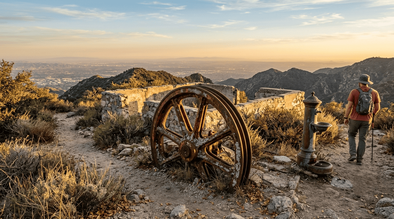
Echo Mountain was once home to a 70-room Victorian resort and a cable railway that hauled 3 million visitors up from Pasadena between 1893 and 1936. What’s left the old bull wheel, foundation rubble, and a lone drinking fountain is genuinely one of the better pieces of California hiking history anywhere on this site, right alongside the kind of terrain hazard awareness you’d want before tackling narrow, exposed switchbacks like this one.
Best time to hike Echo Mountain: not applicable until it reopens
Once it does, early morning is the move. The trail is steep, exposed, and shadeless almost the entire way. I’ll update this section the moment the closure lifts.
Mount Wilson Trail: reopened to Orchard Camp, summit still out of reach
Mount Wilson is the San Gabriels’ oldest maintained trail, cut in 1864, and it’s currently in an unusual in-between state: open, but not all the way.
Trailhead access: Sierra Madre, no Adventure Pass needed at the start
The trail starts at Mount Wilson Trail Park on Mira Monte Avenue in Sierra Madre, with free street parking. It begins outside Forest Service land, so you won’t need an Adventure Pass for the lower trail; you’ll only need one if you eventually push past the current closure point deep into the National Forest.
Difficulty, distance, and elevation gain to Orchard Camp, the hike that’s actually open
The trail reopened in January 2026 after a year-long closure from Eaton Fire damage, but the upper trail and the Mount Wilson Toll Road remain closed, so the full 14-mile, 4,500-plus-foot summit push isn’t currently possible start to finish. What is open: a demanding 7–8.6-mile round trip to Orchard Camp, gaining roughly 2,160 feet through narrow, exposed switchbacks above Little Santa Anita Canyon.
What you’ll see: Orchard Camp’s ruins now, the Observatory once it fully reopens
Orchard Camp was a mountain resort in its own right a century ago; 40,000 visitors signed its register in 1911 alone, before floods wiped it out in 1938. Only stone foundations remain today, in a shaded flat that makes a good turnaround point. The historic payoff further up Mount Wilson Observatory, founded in 1904 and home to the 100-inch Hooker Telescope, isn’t reachable by this trail right now, though it’s still accessible by car via Mount Wilson Road if you want to see it without waiting for the trail to fully reopen.
Best time to hike Mount Wilson: September through May
The lower trail has minimal shade and limited water, so avoid summer afternoons. Winter brings genuine ice risk at elevation, which matters more here than almost anywhere else on this list.
Vetter Mountain Lookout: the easy win, and a real staffed fire lookout at the top
This is the trail I’d send a family or a first-timer to on this list. It’s short, it’s mostly paved, and the payoff, an actual working fire lookout, is unlike anything else in this cluster.
Trailhead access: Charlton Flat, Adventure Pass required
Turn into Charlton Flats Picnic Area off Angeles Crest Highway, about 23 miles from La Cañada Flintridge, and park in the small lot near the gate. You’ll need a National Forest Adventure Pass displayed here.
Difficulty, distance, and elevation gain to the lookout
It’s a 3.8–4-mile round trip with 600–660 feet of gain, almost entirely on a paved fire road. One correction worth knowing: the original single-track hiking trail to the summit was closed after an earlier fire, so the fire road is now the only way up, still an easy, kid-friendly walk, just not quite the “trail” experience the name implies.
What you’ll see: a working 1930s fire lookout and 360° San Gabriel views
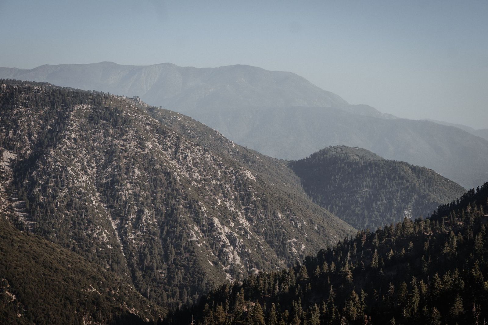
The original 1935 lookout burned in the 2009 Station Fire; volunteers with the Angeles National Forest Fire Lookout Association rebuilt it in 2020, and it’s staffed today. If the volunteers are in, they’re usually happy to talk, and the views stretch across the San Gabriel Wilderness toward the high desert. If you want something even quieter than this, I’ve written a full hidden gem trails guide for LA County.
Best time to hike Vetter Mountain: spring wildflowers to fall clarity
This one’s genuinely pleasant most of the year, but spring brings wildflowers along the road and fall brings the clearest long-range views.
Icehouse Canyon: recently reopened, and the most classic San Gabriels hike on this list
Icehouse Canyon was closed for part of this year for winter safety, as of June 2026; it’s back open, and it’s worth building a trip around.
Trailhead access: Mount Baldy Village, Adventure Pass plus a free wilderness permit
Park in the large lot at the Icehouse Canyon entrance, just past Mount Baldy Village. You’ll need an Adventure Pass for the vehicle, and this wasn’t in my original notes, worth flagging a free wilderness permit once you cross into the Cucamonga Wilderness boundary partway up, available at a self-service box at the trailhead.
Difficulty, distance, and elevation gain to Icehouse Saddle
It’s 7.2 miles round trip with about 2,600 feet of gain, topping out at Icehouse Saddle around 7,632 feet. Along with Bridge to Nowhere, this is one of the two trails on this list where the physical demands of a full day out actually matter for how you plan the day.
What you’ll see: historic cabins, a year-round creek, and old-growth forest
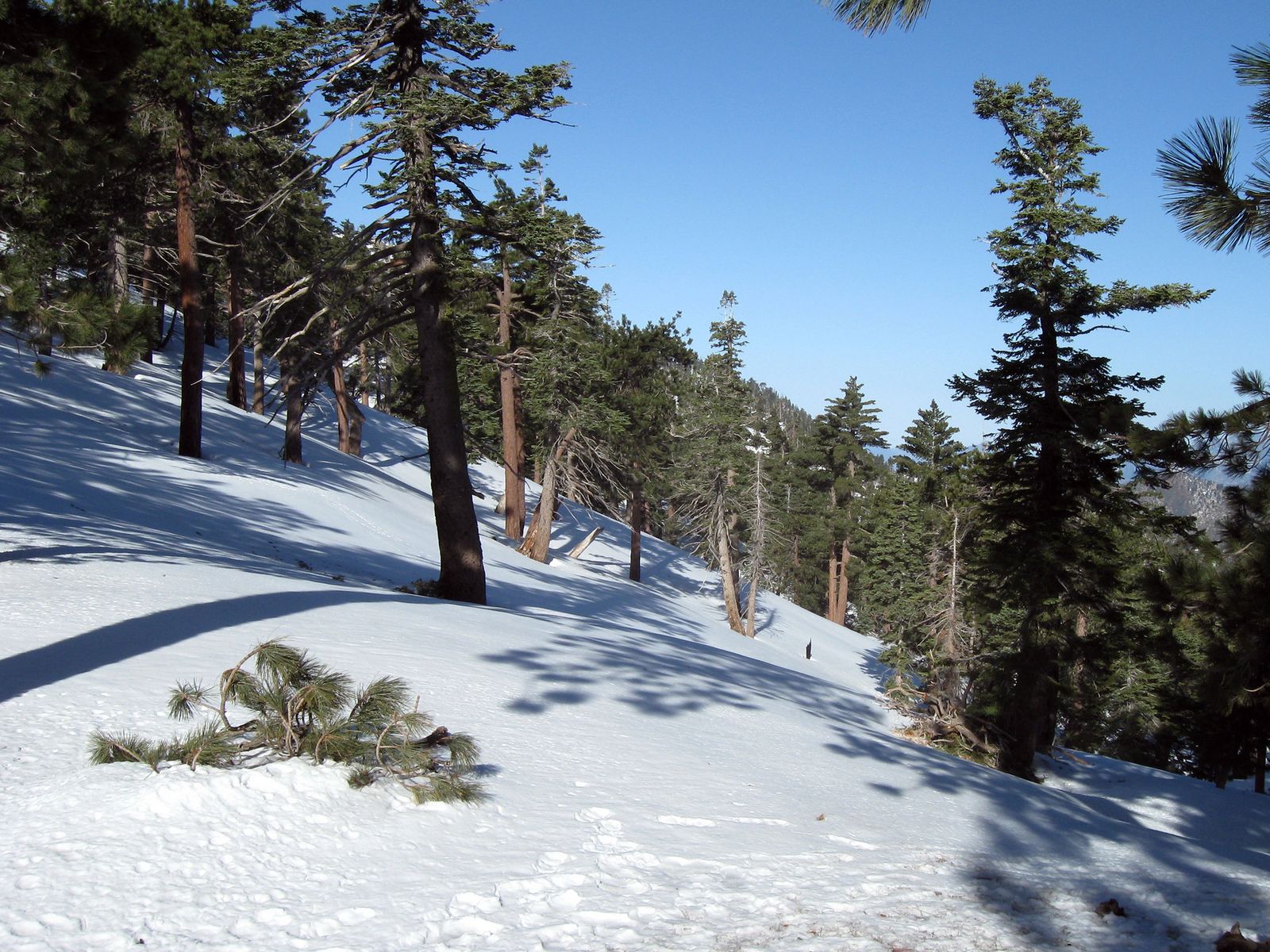
The lower canyon runs past the remnants of century-old private cabins along a creek that runs all year, into big-cone Douglas fir forest that feels a world away from the chaparral lower down.
Best time to hike Icehouse Canyon: fall color, winter ice caution
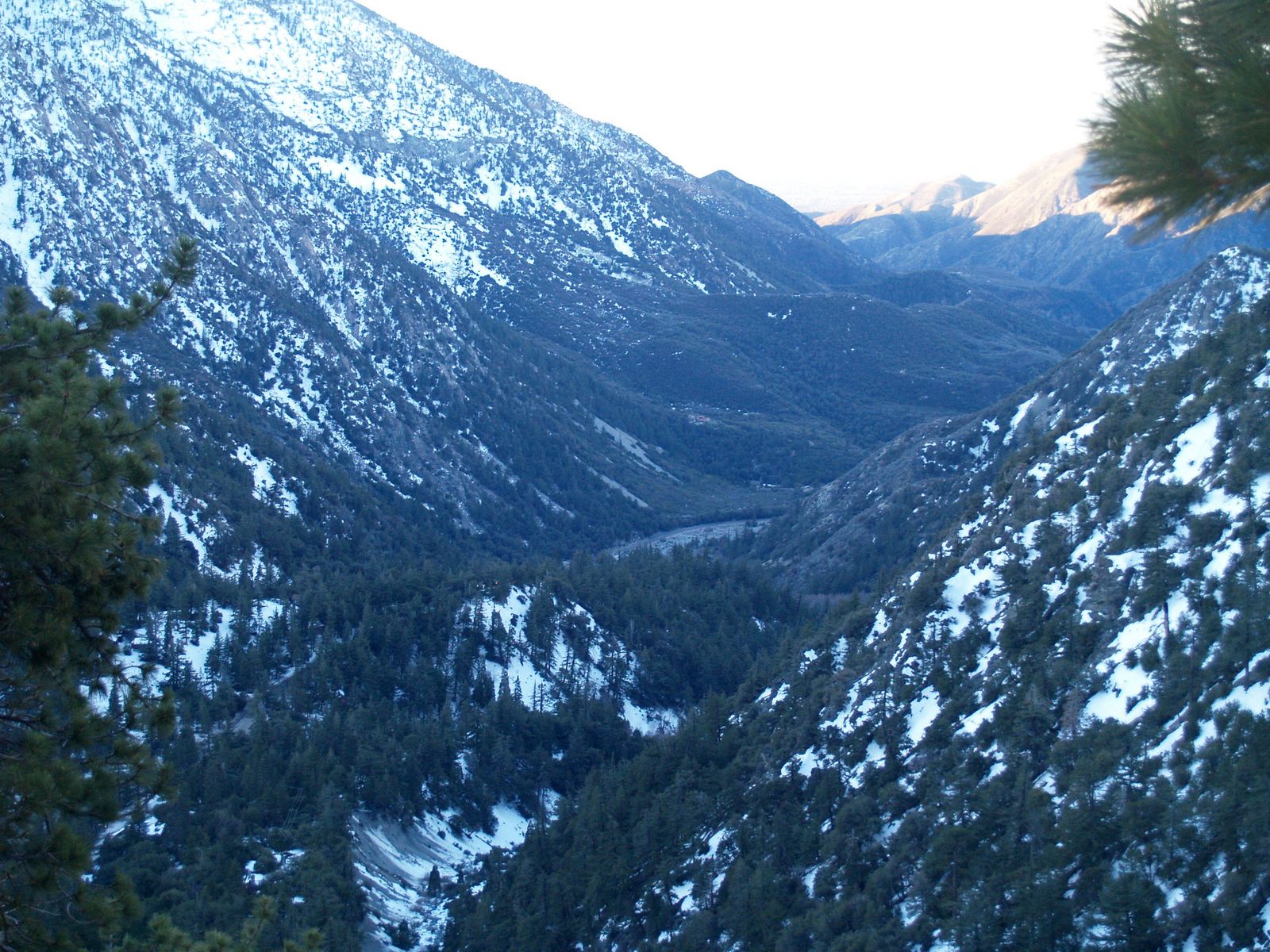
Icehouse Canyon Trail, along with Chapman and Ontario Peak Trails nearby, was closed from roughly February through June 2026 for unsafe winter conditions, per the Angeles National Forest. Now that it’s back open, fall brings good color and stable footing; winter and early spring can still mean ice at elevation, so check current conditions before you go.
Bridge to Nowhere: 10 miles, six river crossings, and yes, real bungee jumping
This is the trail people ask me about the most from this list, mostly because the ending sounds made up. It isn’t.
Trailhead access: East Fork, Adventure Pass plus a free Sheep Mountain Wilderness permit
Park at the East Fork Trailhead off Camp Bonita Road near Azusa. You’ll need an Adventure Pass displayed in your vehicle, plus a free Sheep Mountain Wilderness permit, self-registered at the trailhead kiosk or picked up in advance from the San Gabriel Mountains National Monument office.
Difficulty, distance, and elevation gain along the East Fork
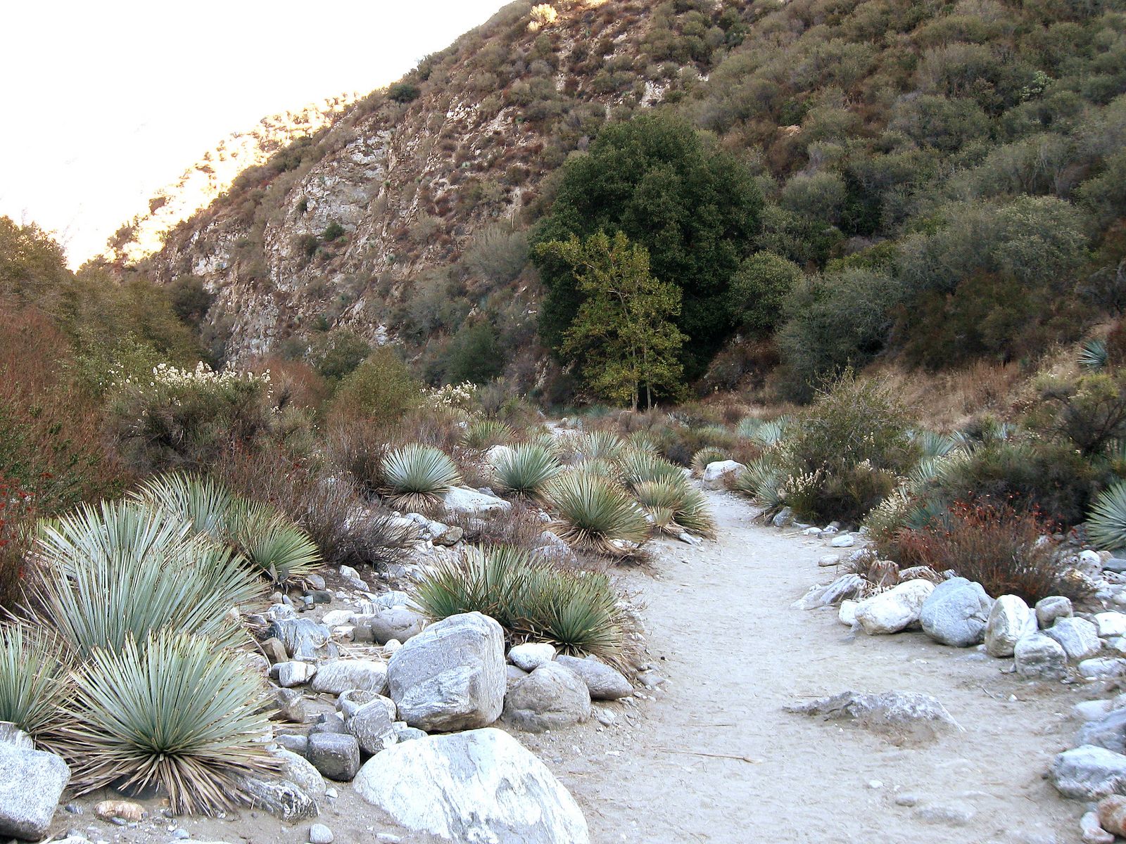
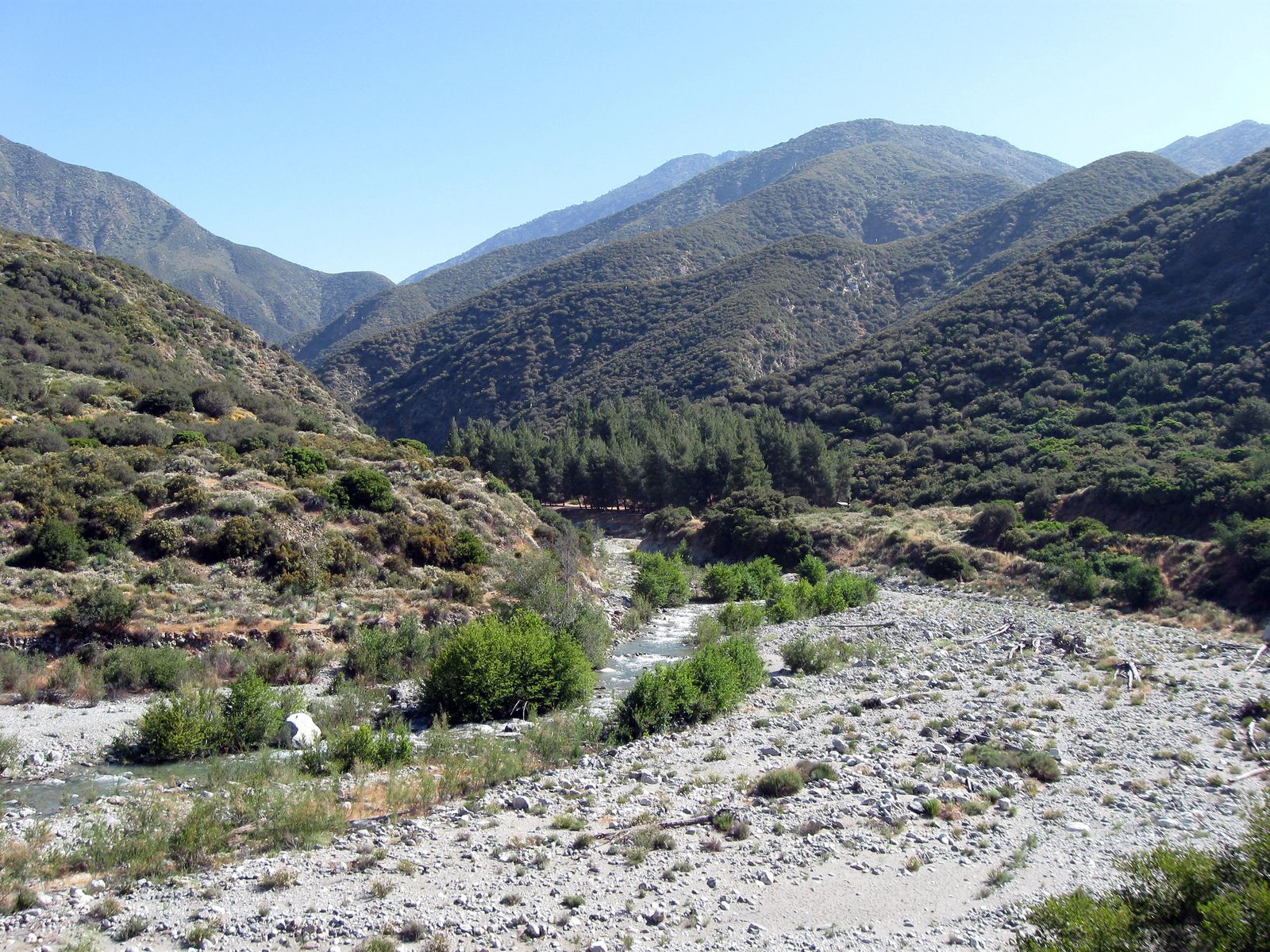
It’s a 10-mile round trip with roughly 1,200–1,250 feet of gain, but the real difficulty here is the six river crossings, not the elevation. Water shoes or a willingness to hike in wet boots make this considerably more pleasant.
What you’ll see: a 1936 bridge that goes nowhere, on purpose
The bridge itself was built in 1936 as part of a planned road connecting the San Gabriel Valley to Wrightwood; a 1938 flood wiped out the road before it was finished, leaving a 120-foot arch bridge standing alone in the canyon with nothing on either end. On weekends, a licensed operator runs bungee jumps off it genuinely the only place in California where that’s legal.
Best time to hike the Bridge to Nowhere: summer through fall, never right after a storm
Avoid this one during spring snowmelt or right after significant rain; the East Fork rises fast, and the crossings that are ankle-deep in September can be genuinely dangerous in March.
Which of these should you actually hike this weekend
If Echo Mountain being closed took the wind out of your plans, don’t let it; Vetter Mountain gets you a genuine mountain payoff in under two hours of walking, and Icehouse Canyon just reopened for a reason. Save Mount Wilson’s Orchard Camp hike for a serious training day, and save the Bridge to Nowhere for a dry month with a full day to spare.
None of these five have real shade cover or ocean air; if that’s more what you’re after, my guide to Malibu and Palos Verdes’ best coastal trails is the better fit. And if it’s an actual waterfall you want rather than a river you have to wade through, my guide to LA County’s best waterfall hikes covers five that deliver on that specifically.
Frequently Asked Questions
Is Mount Baldy hiking trail open?
Icehouse Canyon and nearby Chapman and Ontario Peak Trails were closed for unsafe winter conditions from roughly February to June 2026 and have since reopened. Trails on Mount Baldy itself change status with snow and storm activity; check the Angeles National Forest’s current alerts before a winter or early-spring visit.
Do you need an Adventure Pass to hike in the San Gabriel Mountains
For three of these five trails, yes, Vetter Mountain, Icehouse Canyon, and Bridge to Nowhere all require a National Forest Adventure Pass displayed in your vehicle. Echo Mountain and the lower Mount Wilson Trail start outside Forest Service land and don’t require one.
Is the Bridge to Nowhere hike safe, and do people really bungee jump there?
The hike itself is safe under normal conditions if you respect the river crossings; avoid it during spring snowmelt or right after storms. And yes, the bungee jumping is real and legal, run by a licensed operator on select weekends.
How cold does it get on Mount Wilson and Mount Baldy trails in winter?
Cold enough for real ice risk at elevation on both. Mount Baldy’s higher trails have seen closures for exactly this reason in past winters, and even the lower Mount Wilson Trail can hold ice on shaded switchbacks well into spring.
Are San Gabriel Mountains trails open year-round, or closed for snow?
It varies by trail and elevation. Front-range trails like Vetter Mountain and the lower Mount Wilson Trail are generally hikeable year-round; higher terrain around Mount Baldy sees genuine winter closures for snow and ice safety most years.
Which San Gabriel Mountains trailhead is closest to downtown Los Angeles?
Echo Mountain’s Cobb Estate trailhead in Altadena is the closest of this group to downtown, though it’s currently closed. Among the open trails, Mount Wilson’s Sierra Madre Trailhead is the nearest.