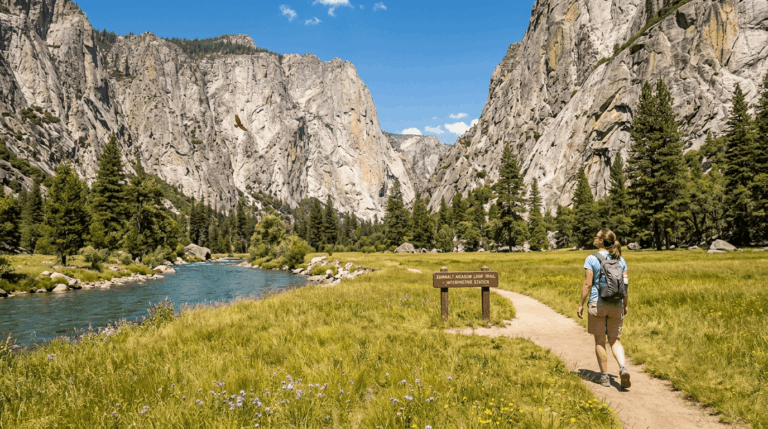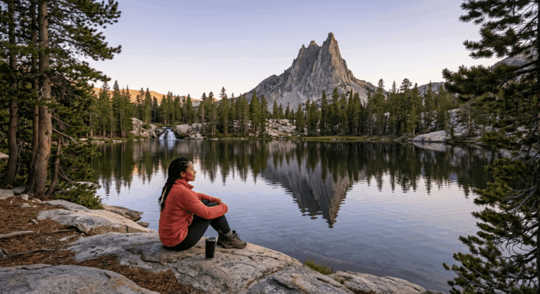
5 Best San Joaquin River Gorge Trails, Fresno County
If you want a real Sierra Foothill gorge without paying a national park entrance fee, the San Joaquin River Gorge is where I send people first.
Disclosure: Please note that some of the links below are affiliate links and at no additional cost to you, I may earn a commission. Know that I only recommend hiking gear I personally stand behind; when you use my affiliate links, it helps me run this blog and keep all of this content free of charge for readers (like you).
This BLM-managed recreation area near Auberry packs five of the best San Joaquin River Gorge trails into about 6,500 acres: a genuine six-mile loop, a National Recreation Trail with real Native American history behind its name, and a couple of short walks that get a family to the river in under 30 minutes.
It’s roughly 45 minutes northeast of Fresno on Highway 168; the day-use fee is $5 per vehicle, and as of August 2026, no permit is required for day hiking here.
I’ll be honest about why I keep coming back to this one over the bigger-name parks: it’s the least fussy trailhead in the county. One parking lot, one fee kiosk, five trails branching out from it, and more than 85,000 people visit every year without the place ever feeling like a theme park.
There’s a small BLM museum and cultural center on site too, run in partnership with the Dumna and Kechayi people, whose language named these trails, worth a stop before or after your hike, hours permitting.
Key takeaways:
- Best all-around pick: The Pa’san Ridge Trail is a genuine 6-mile loop (about 8 miles round trip from the main lot) that shows you the whole gorge in one outing.
- Best for history and culture: The Wuh-ki’o Trail, a designated National Recreation Trail whose name comes straight from the Dumna and Kechayi word for the San Joaquin River.
- Best quick win: The Foot Bridge Trail is a 2-mile round trip to the Gorge’s signature river crossing, doable before lunch.
- Best for families or a short evening walk: The River Access Trail, a half-mile switchback straight down to the water.
- Fee: $5 per vehicle for day use, or $25 for an annual pass. No day-hiking permit required.
- Best season: March through May for wildflowers and comfortable temperatures. The gorge sits low enough in elevation that summer gets genuinely hot.
Quick-glance trail comparison
| Trail | Round trip | Elevation gain | Difficulty | Best for |
|---|---|---|---|---|
| Pa’san Ridge Trail | ~8 mi | ~1,500 ft | Moderate | The full gorge experience |
| Wuh-ki’o Trail | ~8 mi (to Millerton Lake) | ~1,350 ft | Moderate | History and quiet trail time |
| Foot Bridge Trail | ~2 mi | ~360 ft | Easy | A quick, high-payoff visit |
| San Joaquin River Trail (segment) | ~4 mi | Modest, rolling | Easy–Moderate | Pairing with Millerton Lake |
| River Access Trail | ~1 mi | Minimal | Easy | Families, evening walks |
Pa’san Ridge Trail
Trailhead access & parking at the Ya-Gub-Weh-Tuh trailhead, Auberry
Every trail in this guide starts from the same place: the main parking lot at Ya-Gub-Weh-Tuh, off Smalley Road, about 5 miles northwest of Auberry. It’s a fee-use site; pay the $5 at the iron ranger kiosk and clip your receipt to your mirror.
Unlike the entrance-fee trailheads at Kings Canyon National Park, this is BLM public land, so there’s no gate, no timed entry, and no reservation to plan around. Check the BLM’s official site before you go for the current fee schedule and any river-flow advisories tied to upstream Kerckhoff Dam releases.
Difficulty, distance & elevation gain on the Pa’san Ridge Trail
BLM lists the Pa’san Ridge loop itself at 6 miles, beginning across the footbridge, which puts the full round trip from the main lot at roughly 8 miles. AllTrails’ GPS tracking backs that up closely and clocks about 1,500 ft of cumulative elevation gain moderate, not brutal, but real. If a trail sign calling something “moderate” still feels like a guess to you, our guide to hiking difficulty levels breaks down exactly what that rating is measuring.
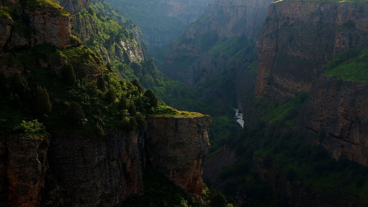
What you’ll see: chaparral uplands and the gorge’s granite walls
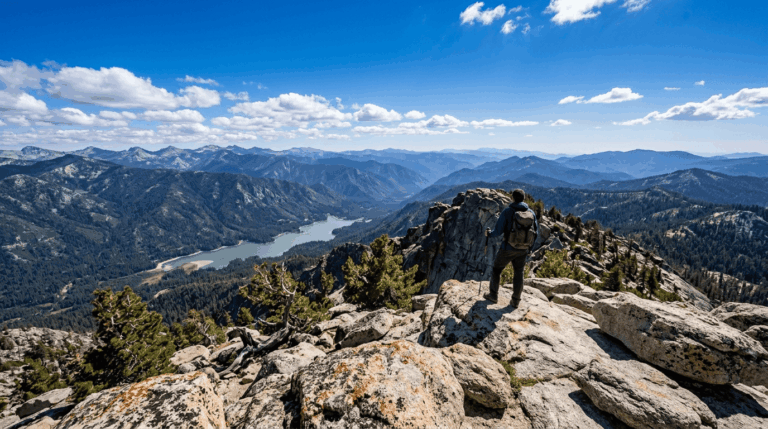
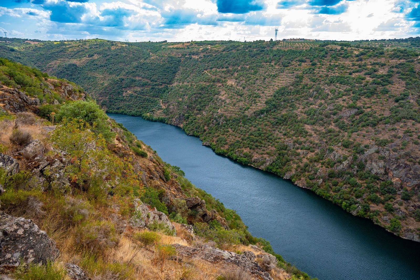
This is the trail that earns the Gorge its reputation. You’ll walk through mountain lilac, manzanita, and mountain mahogany before the terrain opens onto sweeping views of the granite gorge the San Joaquin River has carved on its way down from the Sierra. Spring turns the whole upland into a wildflower field.
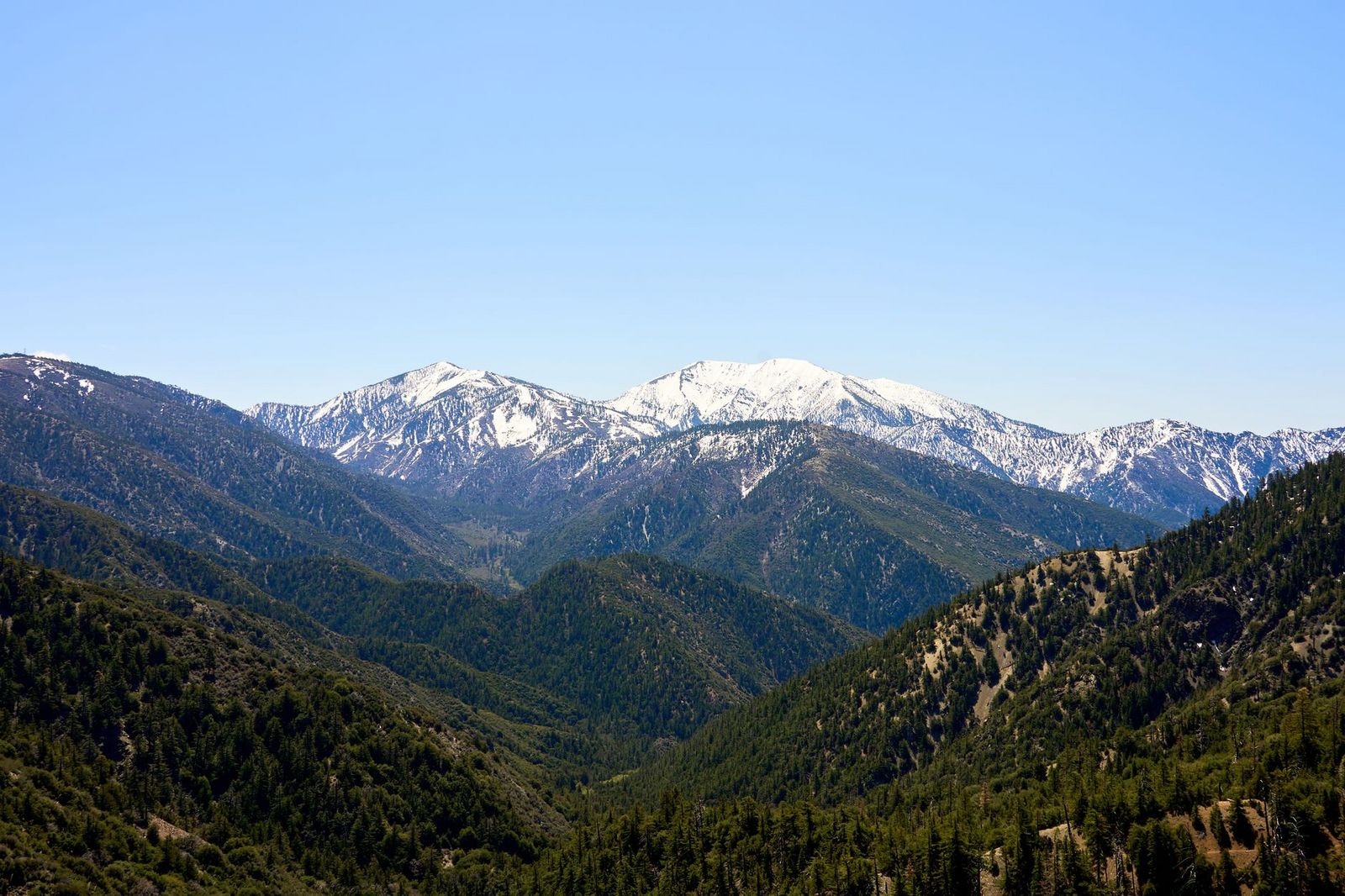
Best time to hike Pa’san Ridge Trail (spring for wildflowers and manageable heat)
Go in March through May. There’s minimal shade up on the ridge, and this low-elevation gorge gets hot fast once summer arrives. I wouldn’t attempt the full loop past 10 a.m. in July. One honest heads-up: the trail crosses active grazing land, so expect cattle on the path. They’re generally unbothered by hikers, but keep dogs leashed and give them space. Rattlesnakes turn up here too, especially on warm afternoons nothing unusual for Sierra Foothill terrain- but watch the trail edges where the grass grows tall.
Wuh-ki’o Trail (National Recreation Trail)
Trailhead access & parking at the shared Ya-Gub-Weh-Tuh trailhead
The Wuh-ki’o Trail splits off the west side of the Pa’san Ridge loop, so you’re starting from the same main lot. No separate fee or permit; your day-use payment covers the whole trail system.
Difficulty, distance & elevation gain on the Wuh-ki’o Trail
The trail itself runs about 4 miles one way, continuing into Millerton Lake State Recreation Area on the Madera County side. Do the full out-and-back from the main trailhead, and you’re looking at close to 8 miles round trip, with roughly 1,350 ft of elevation gain along rolling hillside terrain slightly gentler underfoot than Pa’san Ridge, but longer if you go the whole distance.
What you’ll see: a historic Native American trade route named for the river itself
Wuh-ki’o is the Dumna and Kechayi word for the San Joaquin River, and this trail, along with the connecting San Joaquin River Trail segment, follows portions of prehistoric trade routes once used by Mono and other Sierra foothill peoples moving between the Central Valley and the high country. It’s genuinely rare to hike a trail whose name is the river’s own name in the language of the people who lived here first.
Best time to hike the Wuh-ki’o Trail (fall through spring, before summer heat sets in)
There’s decent shade coverage on parts of this trail, but the surrounding vegetation dries out hard by midsummer, and the exposed stretches get uncomfortable. Much like the quieter forest routes around Sequoia National Forest, you’ll often have this trail to yourself on a weekday, even in peak spring wildflower season.
Foot Bridge Trail
Trailhead access & parking near the main Gorge entrance
This is the most straightforward trail in the guide and one of the best hiking trails near Fresno if you only have an hour or two. Same trailhead, same $5 fee, no extra planning required.
Difficulty, distance & elevation gain to the footbridge
About 2 miles round trip with roughly 360 ft of elevation gain easy on paper, but remember the walk down to the bridge is the easy part. The climb back up in full sun is where people underestimate this one.
What you’ll see: the Gorge’s signature crossing over the San Joaquin River
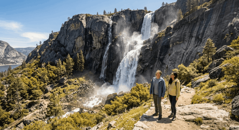
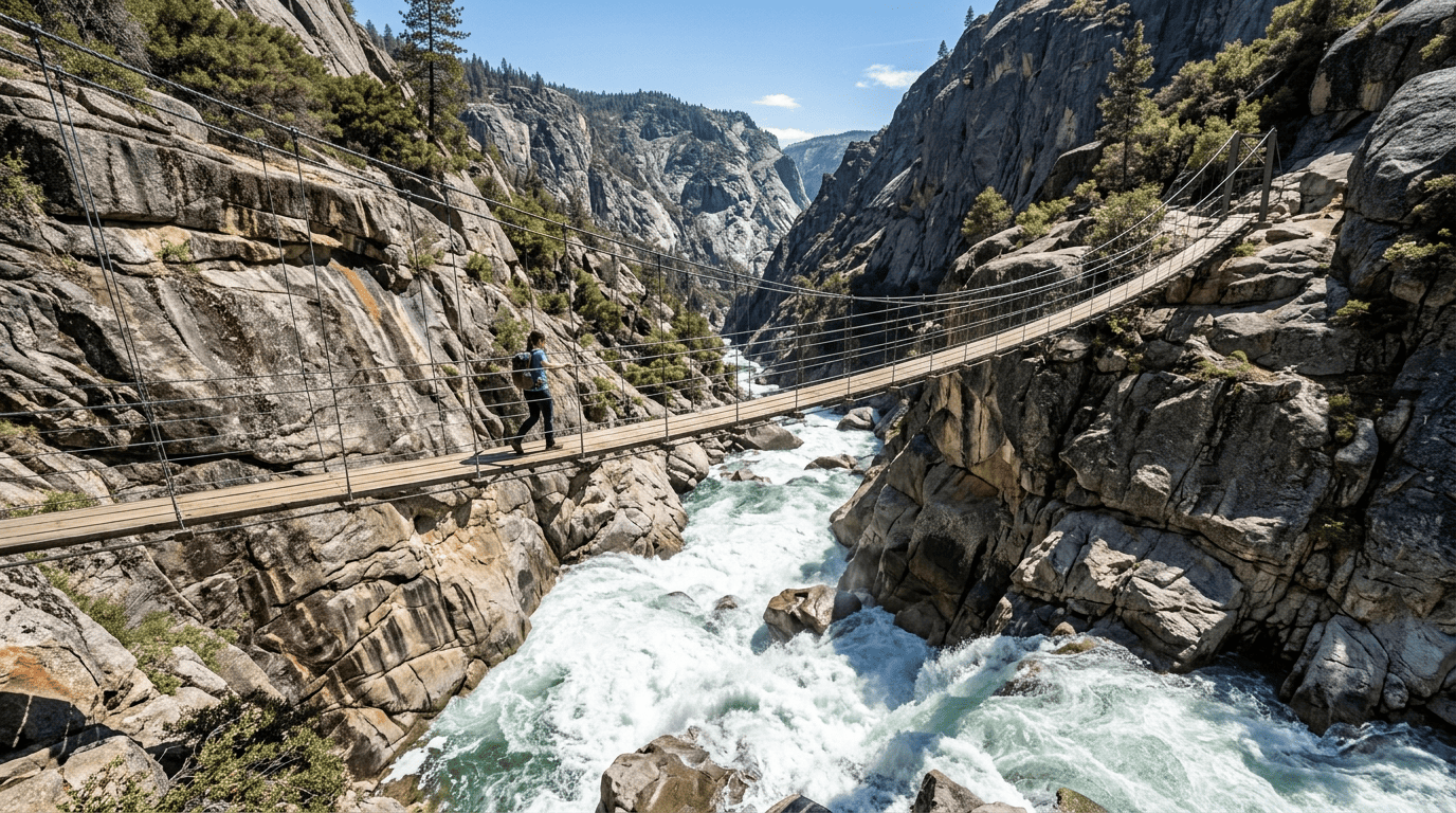
The trail drops you at a footbridge suspended over the river as it churns through a narrow granite chute below. It’s the single best vantage point in the recreation area for taking in the depth and scale of the gorge without committing to a longer loop, and it’s the view most people picture when they think of this place.
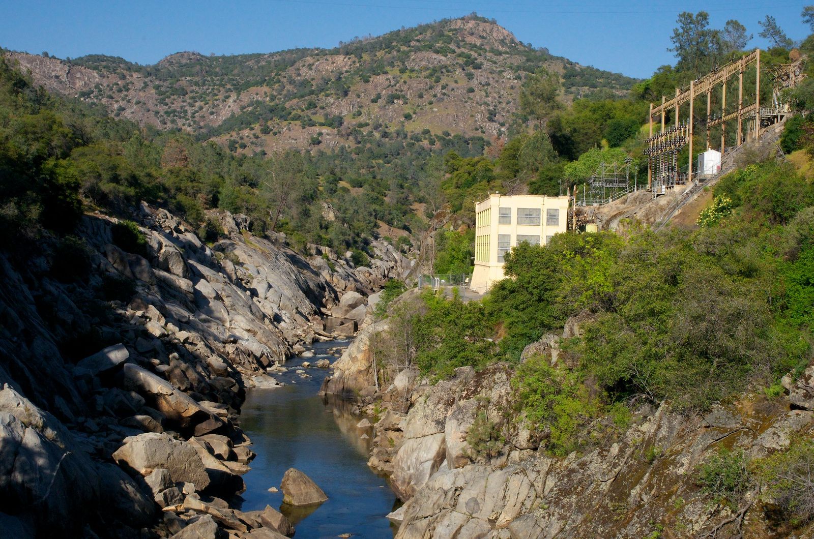
Best time to hike the Foot Bridge Trail (late afternoon for the best canyon light)
Late-day sun rakes across the granite walls and lights up the water below in a way morning light doesn’t quite match. It’s also simply cooler by then in summer, which matters more here than it sounds.
San Joaquin River Trail (Gorge segment)
Trailhead access & parking, San Joaquin River Trail spur
Access is directly across the road from the main Ya-Gub-Weh-Tuh lot. This is a short segment of a much larger regional trail. When fully built out, the San Joaquin River Trail will eventually connect Highway 99 all the way to the Pacific Crest Trail near Devils Postpile, but you only need the first couple of miles for a solid day hike.
Difficulty, distance & elevation gain on the San Joaquin River Trail segment
The portion inside the recreation area runs about 2 miles to the BLM boundary, or roughly 4 miles round trip from the main lot, with modest, rolling elevation change rather than a steep push. It’s a good middle option between the short river walks and the full ridge loop.
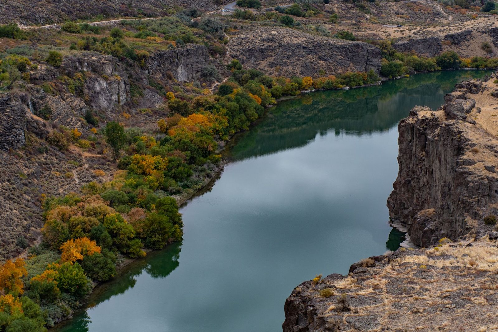
What you’ll see: oak woodland leading toward Millerton Lake
The trail follows the hillside above the river through oak woodland dotted with spring wildflowers, eventually connecting to Millerton Lake State Recreation Area, where the Deer Creek Trail picks up the same reservoir shoreline from the other side. It’s a nice pairing if you’re spending a full day in the area.
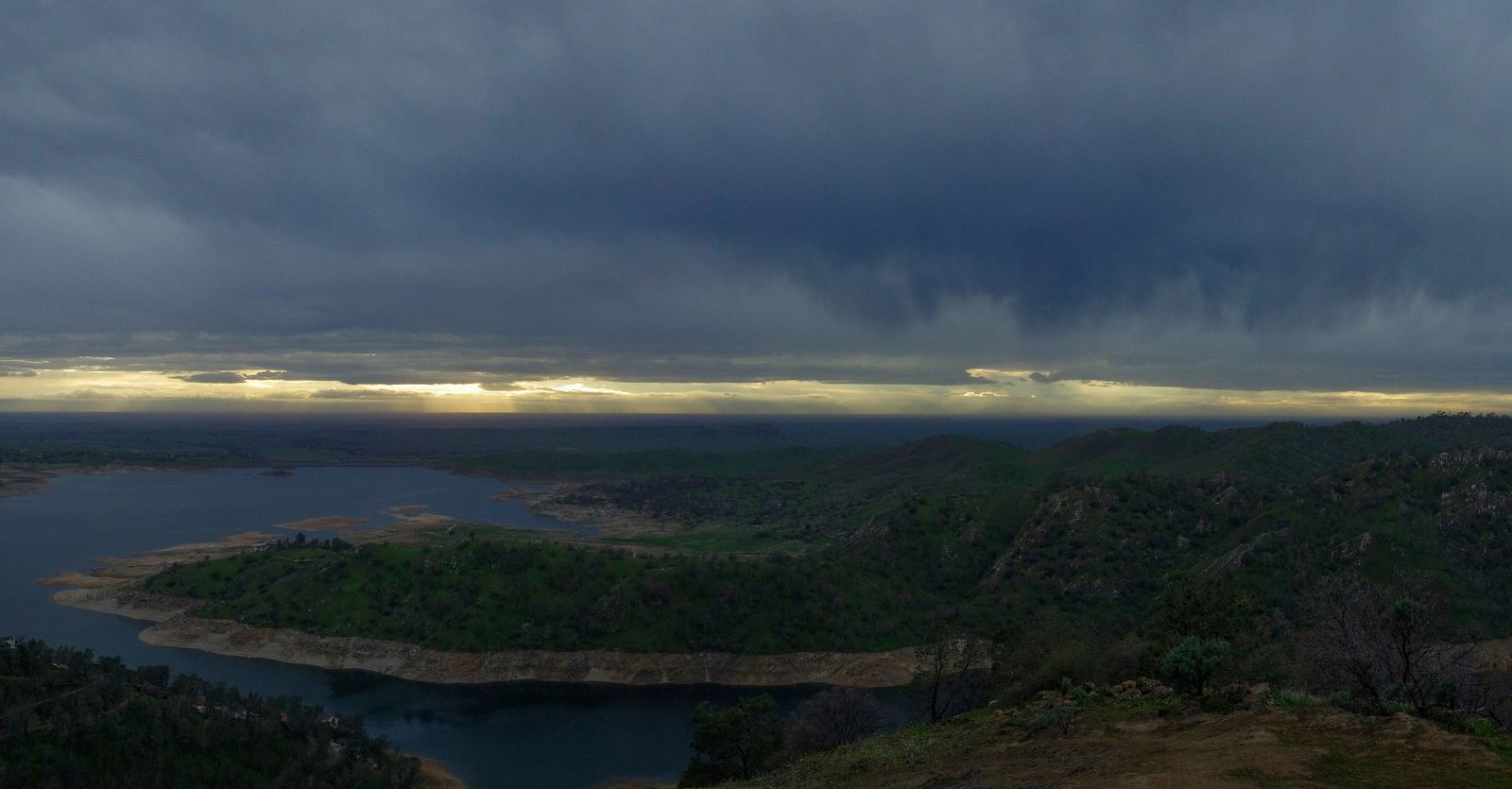
Best time to hike the San Joaquin River Trail segment (a shorter add-on to a longer Gorge visit)
I treat this one as a supplement rather than a standalone destination, a good add-on after Pa’san Ridge or Wuh-ki’o if you’ve still got daylight and legs left.
River Access Trail
Trailhead access & parking at the River Access day-use area
A separate, smaller lot serves this trail specifically, with its own accessible restroom and an ADA-compliant picnic table, the most accessible starting point in the entire recreation area.
Difficulty, distance & elevation gain on the River Access Trail
Short and simple: about a half-mile down to the river’s edge, roughly 1 mile round trip. The elevation change is quick but modest, with a few switchbacks, nothing that will wear anyone out.
What you’ll see: the San Joaquin River’s edge through oak woodland and grass
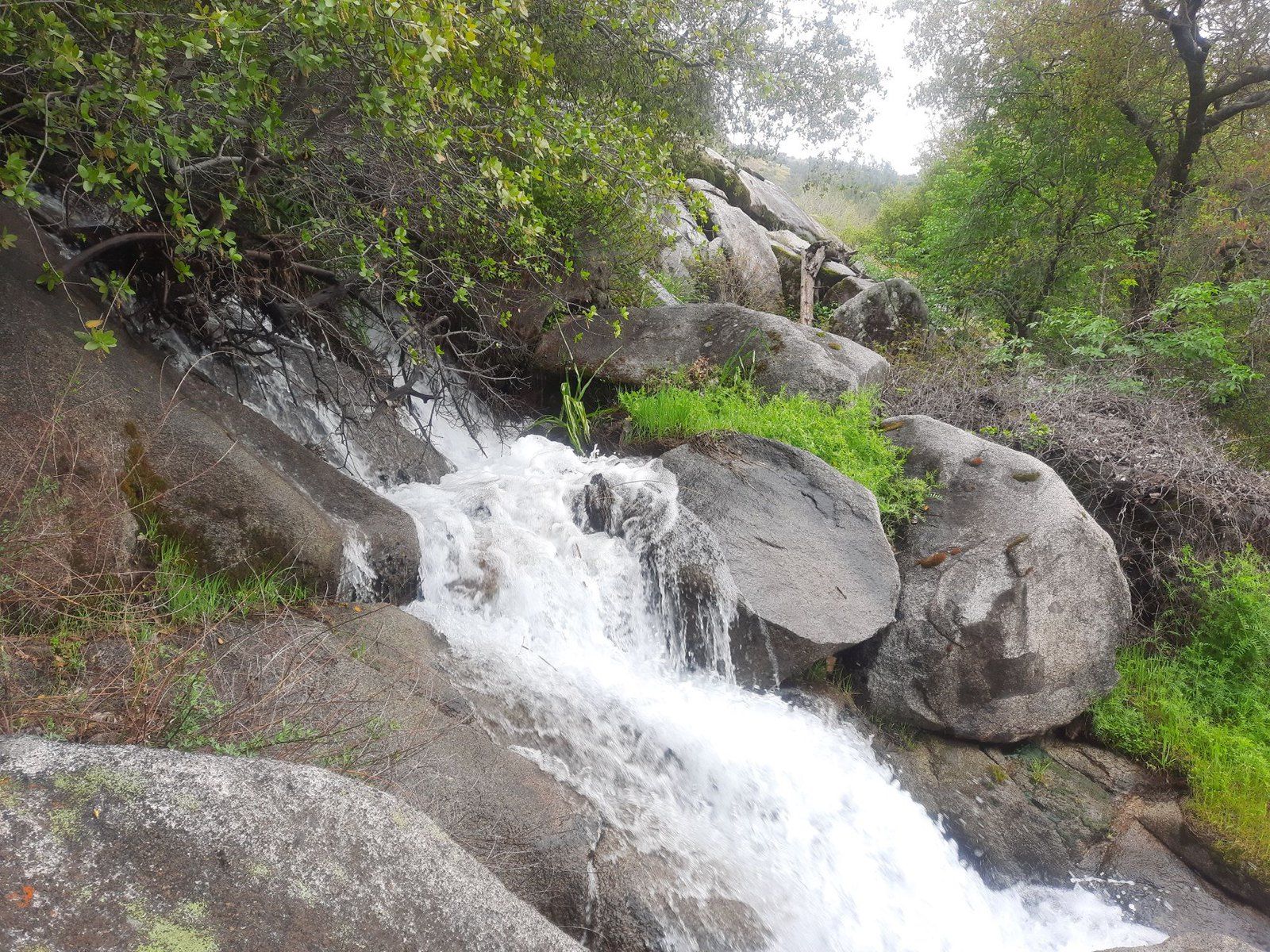
This trail skips the granite drama of the footbridge crossing and instead puts you right at the water, through oak woodland and open grass understory. Good fishing access, good spot for kids to throw rocks in the river, minimal commitment.
Best time to hike the River Access Trail (any season, any time of day)
Because it’s short and mostly shaded near the bottom, this is my go-to recommendation for a quick evening walk or a first visit to get oriented before tackling one of the longer trails.
The honest bottom line
None of these five trails require a permit, a lottery, or a long drive from Fresno; that’s the whole appeal of the Gorge. My rule for a first visit: do the Foot Bridge Trail to see whether the gorge grabs you, then come back for the full Pa’san Ridge loop once you know you want more.
If you’re chasing cooler air later in the summer, the county’s high-elevation trails climb into terrain this foothill gorge simply can’t match heat-wise.
This is one of five roundups covering hiking trails in Fresno County, and honestly, it’s the one I recommend to first-time visitors most often. It’s close, it’s cheap, and it doesn’t ask much of you to see something genuinely dramatic. The gorge doesn’t care how far you planned to go; it rewards the people who start early and turn around before the heat does the deciding for them.
Frequently Asked Questions About Hiking Trails in the San Joaquin River Gorge, Fresno County
Is there a fee to hike at the San Joaquin River Gorge?
Yes, $5 per vehicle for day use, payable at the on-site iron ranger kiosks, or $25 for an annual pass if you’ll be back more than a couple times a year.
Is the San Joaquin River Gorge good for mountain biking too?
Yes. All trails here are multi-use, shared by hikers, mountain bikers, and equestrians, with motorized vehicles prohibited entirely.
What is the Wuh-ki’o Trail, and is it the same as the “Way of the Mono Trail”?
No, that’s a common mix-up. The Way of the Mono Trail is a separate, short interpretive loop near Bass Lake, well outside this recreation area. The trail inside the San Joaquin River Gorge that’s actually tied to Native American history is the Wuh-ki’o Trail, a designated National Recreation Trail named for the Dumna/Kechayi word for the San Joaquin River.
Is the San Joaquin River Gorge hot in summer?
Yes, genuinely hot, this is low-elevation Sierra foothill terrain with limited shade on most trails. I’d hike here at sunrise in July and August, or better yet, save the longer trails for spring or fall.
Are dogs allowed at the San Joaquin River Gorge?
Yes, leashed dogs are welcome on all trails. Keep them close on the Pa’san Ridge and Wuh-ki’o trails specifically, since both cross areas with active cattle grazing.
How far is the San Joaquin River Gorge from Fresno?
About 35 miles, roughly a 45-minute drive northeast via Highway 168 through Prather and Auberry.