Best Hiking Trails Near Mount Shasta and Shasta County, California
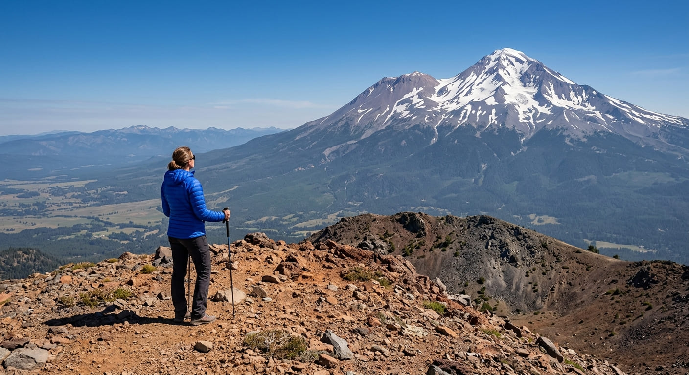
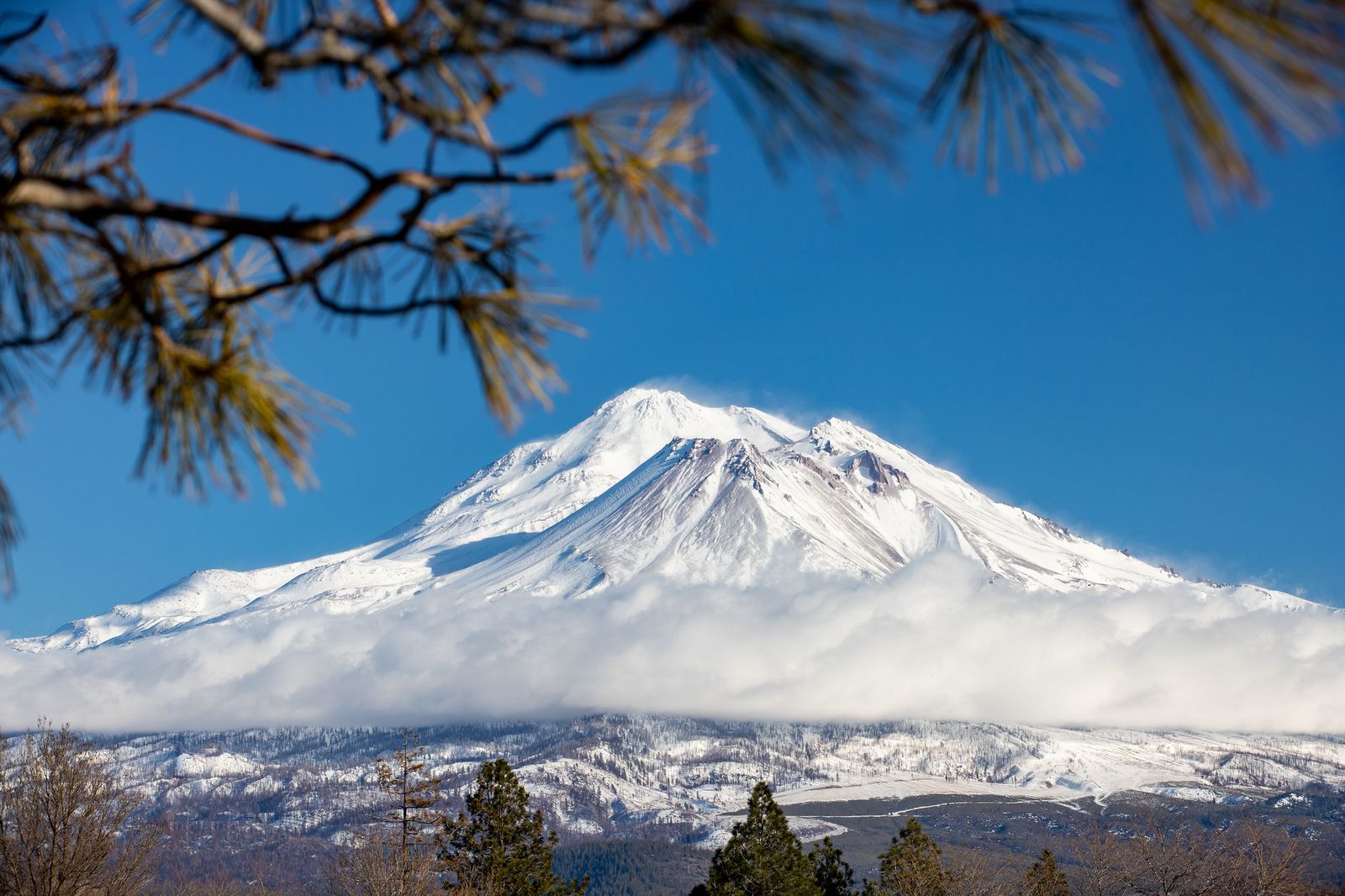
Mount Shasta dominates this part of Northern California so completely that it’s visible from up to 100 miles away, a 14,179-ft volcanic massif that anchors a hiking region stretching from its own alpine meadows down to a 129-ft spring-fed waterfall, a historic gold-mining recreation area, and California’s largest reservoir. Hiking Trails in Shasta County, and the edge of Siskiyou County around the mountain itself, cover more hiking variety than the “mountain hiking” label usually suggests; this is a region where a volcano, a waterfall that never dries up, and a genuine 19th-century mining landscape all sit within a couple of hours of the same hub city.
Disclosure: Please note that some of the links below are affiliate links and at no additional cost to you, I may earn a commission. Know that I only recommend hiking gear I personally stand behind; when you use my affiliate links, it helps me run this blog and keep all of this content free of charge for readers (like you).
Key takeaways
- Shasta County spans four hiking zones: Mount Shasta and Black Butte, McArthur-Burney Falls, Whiskeytown National Recreation Area, and Shasta Lake.
- Mount Shasta runs a two-permit system: a free wilderness permit for any entry into the Mt. Shasta Wilderness, plus a separate paid Summit Pass ($25 for 3 days, $30 annual) specifically required above 10,000 ft.
- Dogs aren’t allowed anywhere in the Mt. Shasta Wilderness, including at Horse Camp, a restriction that surprises a lot of visitors used to more dog-friendly national forest trails.
- McArthur-Burney Falls never runs dry, even in drought years, because it’s fed by underground springs rather than snowmelt or rainfall runoff.
- Whiskeytown National Recreation Area is completely free to enter, a rare fee-free NPS unit with 70 miles of trail and two genuinely rewarding waterfall hikes.
Related
- Hedge Creek & McCloud Falls Hiking Guide
- 5 Best Hiking Trails Near Mount Shasta
- 5 Best Waterfall Hiking Trails in Shasta County
Why Shasta County is Northern California’s most diverse mountain hiking hub
Few regions pack this much geological variety into one hiking base. A dormant volcano, a year-round spring-fed waterfall, a historic reservoir recreation area, and the largest lake in California all sit within a short drive of Redding, the region’s main hub city.
Shasta County’s four hiking zones
Mount Shasta and Black Butte anchor the region’s volcanic terrain, sitting within the 2.2-million-acre Shasta-Trinity National Forest, the largest national forest in California and one of the biggest in the entire country. For granite spires and a steep climb just south along the I-5 corridor, Castle Crags State Park offers a dramatic shift in landscape, while McArthur-Burney Falls State Park protects the Pit River country’s namesake spring-fed waterfall, a short drive northeast of Redding through rural ranchland.
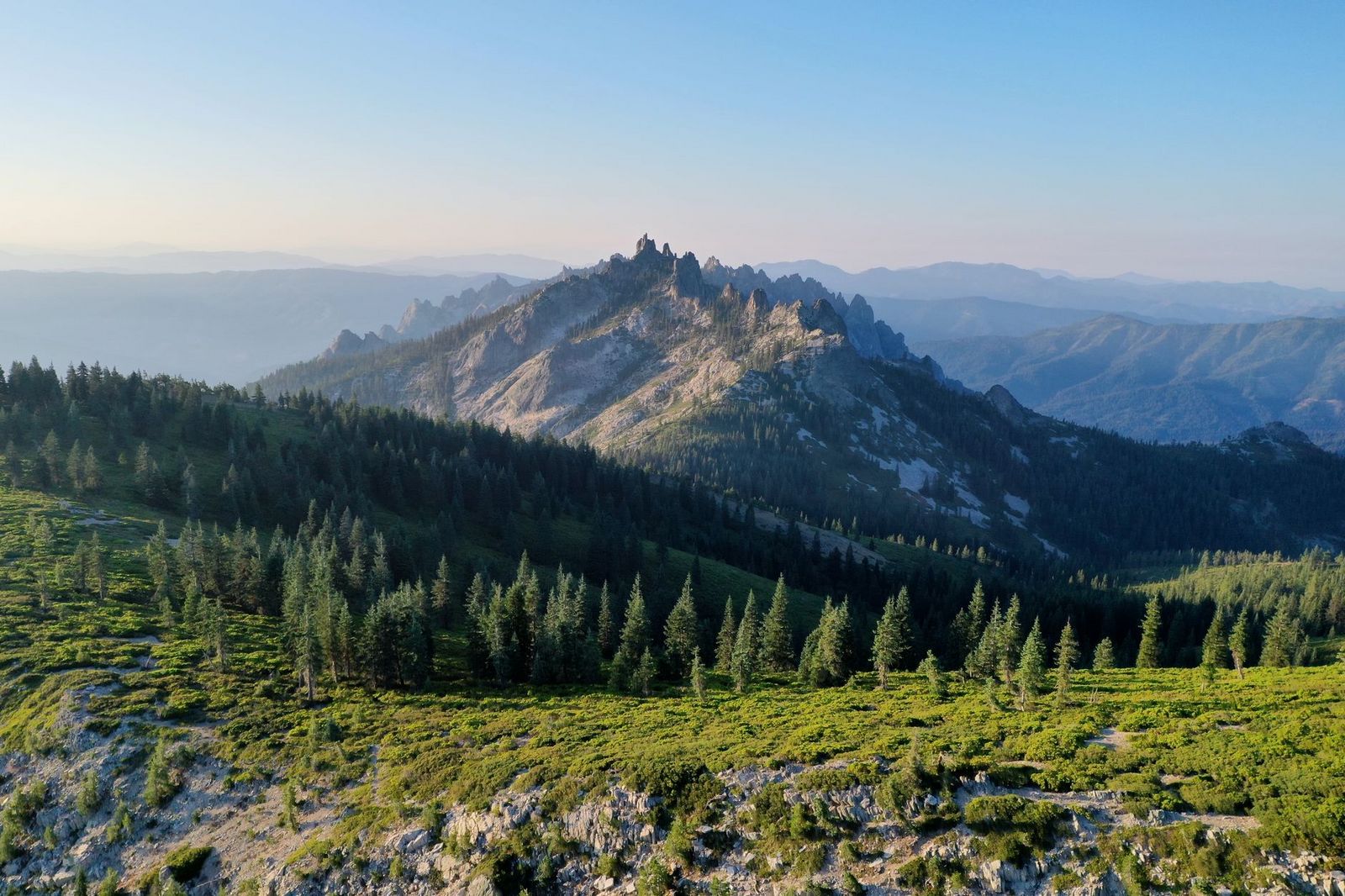
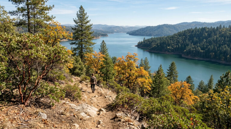
Whiskeytown National Recreation Area combines a reservoir with a historic gold-mining landscape and 70 miles of trail, close enough to Redding for an easy half-day trip. Shasta Lake, the state’s largest reservoir, along with neighboring Trinity Lake, rounds out the region with shoreline trails and lake-access hiking, plus a dam impressive enough to be worth the short detour on its own.
Best hiking trails near Mount Shasta, Shasta County
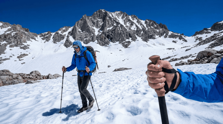
Mount Shasta itself has no maintained trail to its summit; routes here are wilderness travel and, above 10,000 ft, genuine mountaineering, but the trails around its base and lower slopes offer some of the best accessible hiking in Northern California.
Black Butte Trail: Mount Shasta’s most accessible summit hike
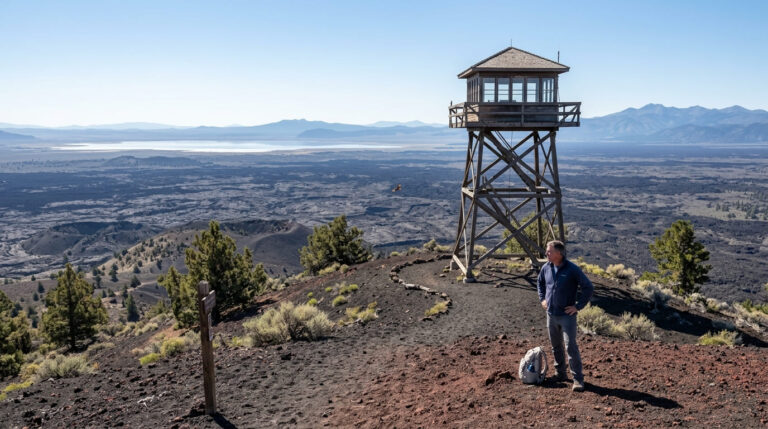
This 5-mile round trip with about 1,825 ft of gain climbs an ancient volcanic plug to a 6,325-ft summit, delivering 360-degree views of Mount Shasta itself, the Shasta Valley, and the Trinity Alps. The trailhead sits just off I-5 north of Weed; it’s free, with no permit required for this particular trail, and snow typically covers the route from November through May, making late spring through fall the reliable hiking window.
Panther Meadows Trail: Mount Shasta’s most sacred and accessible alpine walk
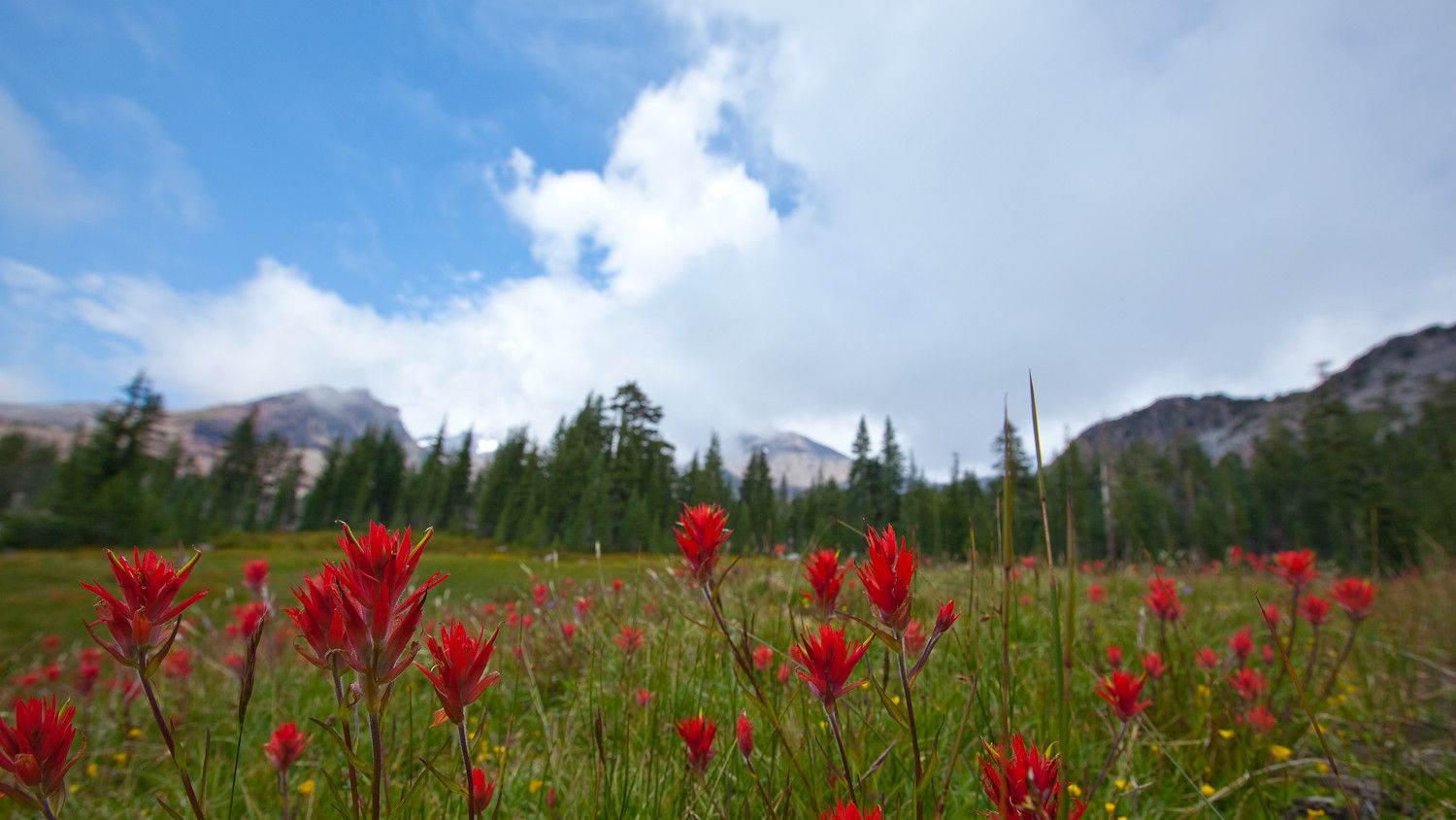
At 7,500 ft and reached from the parking area at the end of Everitt Memorial Highway, this 1.5-mile loop crosses a subalpine meadow fed by natural springs, with wildflowers peaking in July and August. Panther Meadows is a sacred site to the Wintu people, and visitors are asked to treat it with real respect, stay on the trail, and note that camping isn’t permitted here regardless of what dispersed camping norms apply elsewhere in the forest. It’s free, with no permit required, for the meadow loop itself.
Bunny Flat to Horse Camp: gateway trail for Mount Shasta climbers
This 2-mile round trip with about 900 ft of gain climbs to the Sierra Club’s historic stone hut at Horse Camp (7,900 ft), the most popular day hike on the mountain and the standard staging point for the Avalanche Gulch climbing route above it.
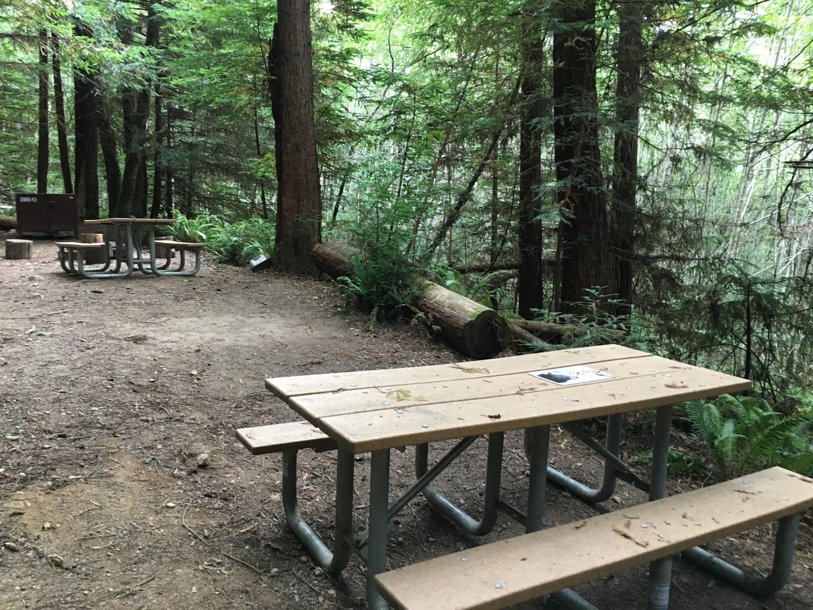
Hikers and mountaineers share the same trail here, so expect loaded packs and technical gear on the people passing you even if you’re just out for the day hike. Anyone continuing above 10,000 ft needs a Summit Pass in addition to the free wilderness permit required for the wilderness generally, and dogs aren’t permitted anywhere in the Mt. Shasta Wilderness, Horse Camp included.
A current forest order governing these restrictions runs through November 2026, part of an ongoing effort to manage the roughly 100,000 annual visitors the wilderness area now sees.
Best hiking trails at McArthur-Burney Falls State Park, Shasta County
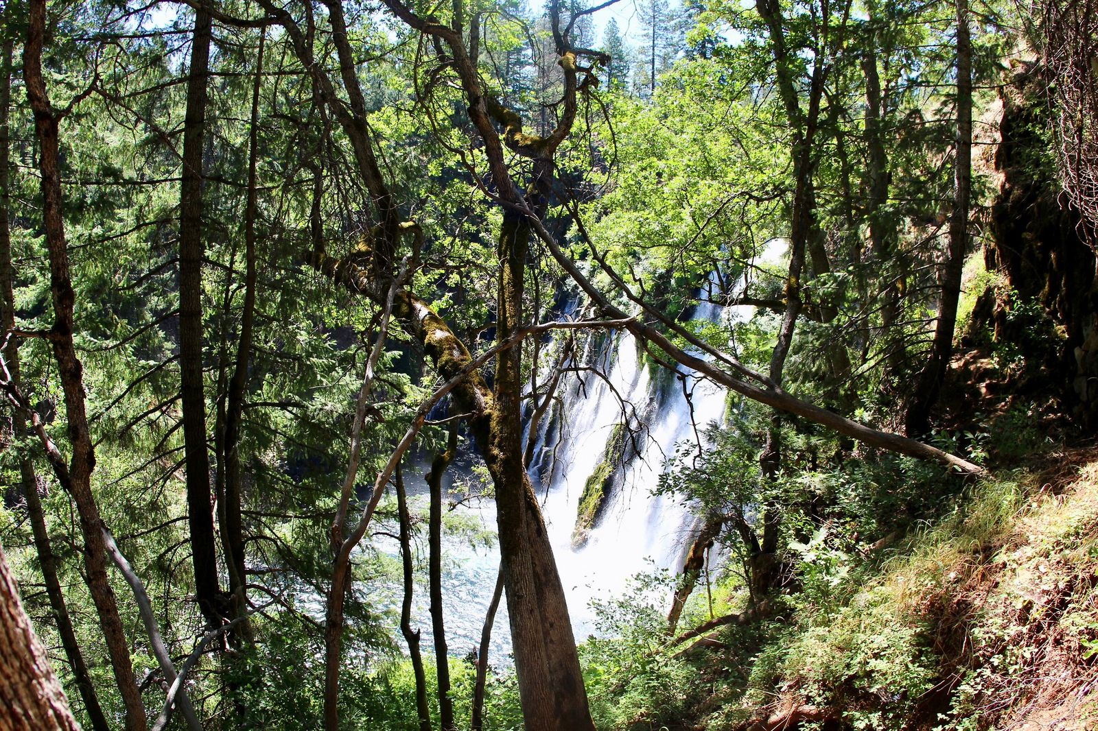
Theodore Roosevelt reportedly called Burney Falls the eighth wonder of the world, and the fact that it never stops running, even through California’s worst drought years, is a big part of why.
Headwaters Trail Loop: McArthur-Burney Falls’ best full-park experience
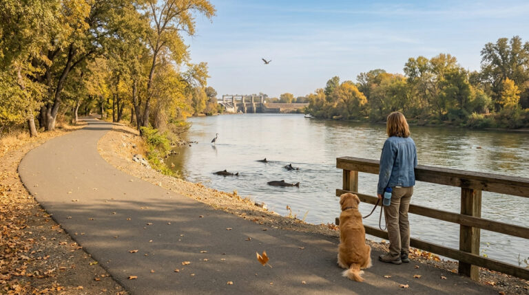
This 4.3-mile loop with about 600 ft of gain takes you from the falls overlook down to its base, then follows Burney Creek upstream to the spring source feeding it, along Lake Britton’s shoreline, with American dippers among the regular bird sightings along the way.
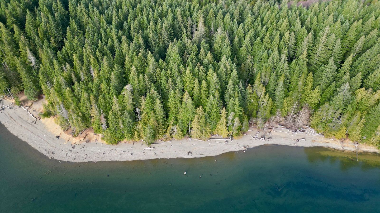
The falls themselves drop 129 ft, fed by more than 100 million gallons of spring water daily regardless of season, genuinely unusual for a California waterfall, most of which rely on snowmelt or rain and dry up or slow to a trickle by late summer. Day use runs $10, with no reservation required for hiking.
Best hiking trails at Whiskeytown National Recreation Area, Shasta County
At 42,000 acres surrounding Whiskeytown Lake, this NPS unit pairs reservoir recreation with a genuine 19th-century gold-mining history, all completely free to enter.
Crystal Creek Falls and Brandy Creek Falls: Whiskeytown’s best waterfall hikes
Crystal Creek Falls runs 3 miles round trip with about 300 ft of gain through a shaded canyon to a 35-ft waterfall with reliable year-round flow. Brandy Creek Falls extends the effort to 3.4 miles round trip with about 700 ft of gain, rewarding you with a multi-tier waterfall and a nearby swimming beach that makes a natural add-on once you’re back down.
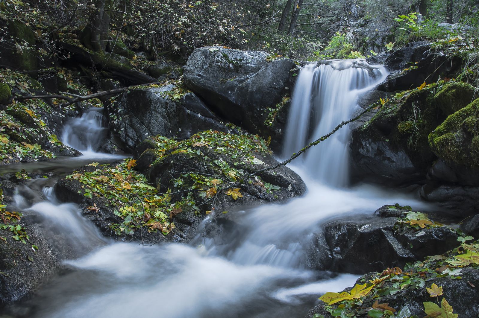
Combining both makes for a full and genuinely varied day, and neither requires a permit or entrance fee; Whiskeytown is one of the few National Park Service units anywhere with completely free entry.
Best hiking trails at Shasta Lake, Shasta County
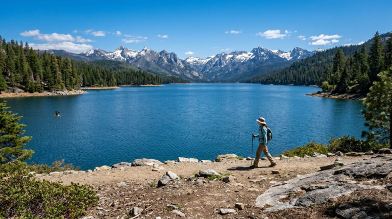
As California’s largest reservoir with 365 miles of shoreline, Shasta Lake offers a different hiking character than the volcanic and waterfall terrain dominating the rest of the county.
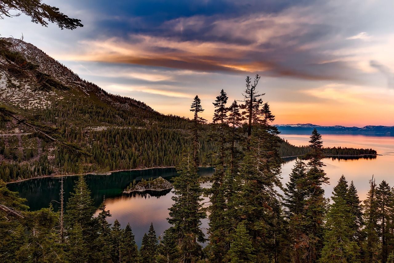
The Shasta Dam Overlook Trail runs about 2 miles with views of the dam itself, the lake, and the Trinity Alps beyond it, a good short option for anyone driving through rather than dedicating a full day to the lake, and genuinely worth the stop even if hiking isn’t the main reason you’re passing by.
The Jones Valley area and Hirz Bay Trail add more substantial shoreline hiking, with houseboat marinas and boat-in campsites giving this part of the county a noticeably different, more lake-recreation character than the volcanic and waterfall terrain dominating the rest of Shasta County.
The McCloud Arm Trail extends the options further, though its access can be seasonal depending on lake levels and road conditions, so check current status before planning a trip specifically around it.
Shasta County rewards building a trip around its volcanic centerpiece while leaving room for the waterfalls, reservoir trails, and gold-mining history surrounding it; Mount Shasta alone doesn’t need to be the whole visit. Start with an accessible win like Black Butte or the Headwaters Trail at Burney Falls, and treat a genuine Mount Shasta wilderness trip as its own separate undertaking once you’ve got the permit system sorted.
Few regions let a single week of hiking span a dormant volcano, a spring that’s never run dry, and California’s largest reservoir without more than an hour or two of driving between any of them.
Frequently asked questions about hiking trails near Mount Shasta and Shasta County
What are the best hiking trails near Mount Shasta, California?
Black Butte offers the most accessible summit-style hike, Panther Meadows delivers an easy alpine walk at 7,500 ft, and Bunny Flat to Horse Camp is the classic gateway trail for anyone curious about the mountain’s climbing routes. All three are reachable without a Summit Pass, since none require going above 10,000 ft.
Do I need a permit to hike on Mount Shasta?
Yes, a free wilderness permit is required for any entry into the Mt. Shasta Wilderness, available by self-issue at trailheads. Above 10,000 ft, you also need a paid Summit Pass ($25 for 3 days, $30 annual), even if you’re not certain you’ll reach the actual summit.
Is McArthur-Burney Falls worth visiting for hiking?
Yes, the 129-ft waterfall runs at over 100 million gallons a day year-round, since it’s spring-fed rather than dependent on seasonal snowmelt or rain. The Headwaters Trail Loop is the best way to experience the full park, taking you from the falls overlook down to its base and along Lake Britton’s shoreline.
What hiking trails are near Redding, California?
Whiskeytown National Recreation Area, with its Crystal Creek Falls and Brandy Creek Falls hikes, sits closest to Redding itself, while Shasta Lake and the Shasta Dam Overlook Trail are a short drive further out. Mount Shasta and McArthur-Burney Falls both require roughly an hour or more of driving from Redding but are commonly combined into the same regional trip.
Is Whiskeytown National Recreation Area free to hike?
Yes, it’s one of the few National Park Service units in the country with no entrance fee at all, covering 70 miles of trail across 42,000 acres. Both signature waterfall hikes, Crystal Creek and Brandy Creek Falls, are included in that free access.
Can you hike on Mount Shasta without a guide?
Yes, for the established day hikes like Black Butte, Panther Meadows, and Bunny Flat to Horse Camp, none of these require technical skills or a guide. A summit attempt above 10,000 ft is a different undertaking entirely, involving real mountaineering skills, gear, and the separate Summit Pass, and going with an experienced partner or guide is a reasonable call for anyone without glacier travel experience.