The 5 Best Regional Park Hiking Trails in Contra Costa County, From a Coal-Mining Ghost Town to a Golden Eagle Valley
This guide covers Contra Costa County’s East Bay Regional Park District destinations outside Mount Diablo itself, a deliberately different focus from my dedicated Mount Diablo guide. When it comes to Regional Park Hiking Trails in Contra Costa, here’s the short version: Briones Regional Park is the pastoral, cattle-grazed counterpart to Mount Diablo’s dramatic peak scenery, Black Diamond Mines delivers the most layered human history in this entire guide, and Round Valley is the one to visit specifically for a rare chance at seeing nesting golden eagles.
Disclosure: Please note that some of the links below are affiliate links and at no additional cost to you, I may earn a commission. Know that I only recommend hiking gear I personally stand behind; when you use my affiliate links, it helps me run this blog and keep all of this content free of charge for readers (like you).
Five parks anchor this guide, ranging from rolling grassland to a preserved mining ghost town to open water views across a strait, showcasing genuinely varied terrain packed into one county’s regional park system.
Key takeaways
- Most pastoral: Briones Regional Park features rolling grassland ridges still grazed by cattle, making it genuinely uncrowded relative to nearby Tilden Park and Mount Diablo.
- Most historically layered: Black Diamond Mines Regional Preserve is a preserved coal-mining ghost town with a guided sand-mine tour and an 1860s cemetery.
- Best Mount Diablo views from afar: Morgan Territory Regional Preserve features oak savanna and rock outcrops bordering Mount Diablo State Park itself.
- Best rare-wildlife payoff: Round Valley Regional Preserve is a secluded valley protecting known golden eagle nesting territory.
- Best reliable waterfront walk: Carquinez Strait Regional Shoreline offers open water views to a historic sugar refinery, remaining comfortable nearly year-round.
- Fees and dog policies vary meaningfully across these five parks, so it is worth checking each one specifically rather than assuming a single county-wide rule.
Briones Regional Park Trail
Trailhead access and parking at Briones Regional Park
Most staffed staging areas (Alhambra Creek, Bear Creek, and Reliez Valley, near Martinez and Lafayette) charge $3 for parking plus $2 for dogs, cash only, collected mostly on weekends and sunny days. The Lafayette Ridge Staging Area is free, though it’s a considerably longer walk in to reach the park’s heart. Note: as of a July 2026 park update, the Briones Crest Trail/Mott Peak Trail and Briones Crest Trail/Lagoon Trail intersection is damaged but passable with care.
What you’ll see: rolling grassland ridges with cattle-grazing views
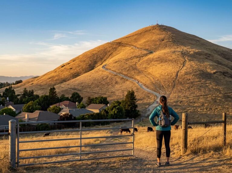
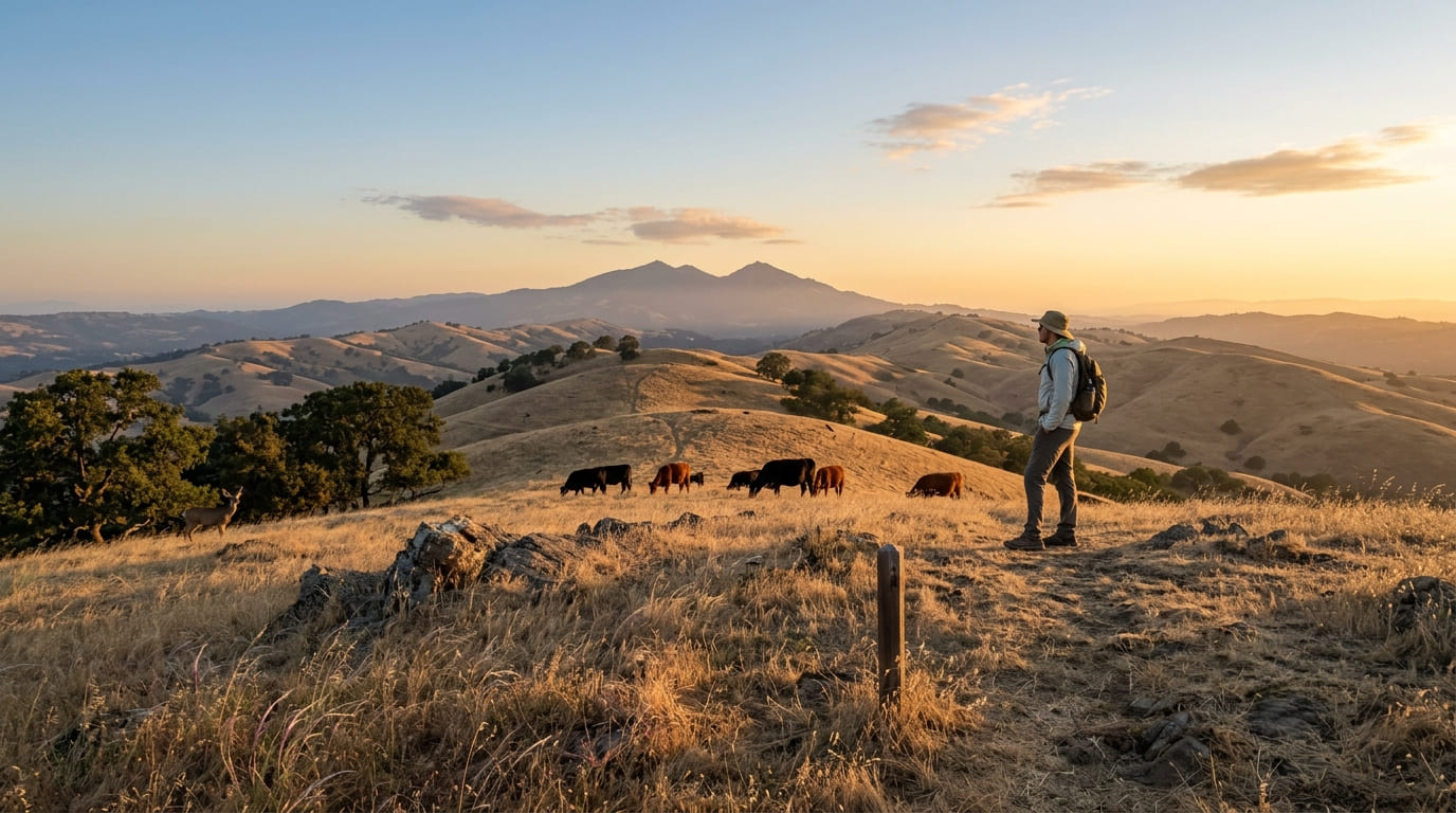
Briones covers more than 6,000 acres of classic East Bay hill country, with Briones Peak (1,483 ft) offering panoramic views toward Mount Diablo, the Sacramento River, the Berkeley Hills, and Mount Tamalpais. Cattle still graze the open ridgelines, and wildlife here includes black-tailed deer, coyotes, and red-tailed hawks, offering a completely different vibe from the shaded coast redwoods of Reinhardt Redwood Regional Park while still providing genuinely more solitude than the busier Tilden Park and Wildcat Canyon Regional Park
to the west or Mount Diablo to the east.
Best time to hike Briones Regional Park: spring for wildflowers and green hills
Spring’s wildflower display (February through May) is substantial enough to justify a dedicated visit, without the crowds that a more famous park’s equivalent bloom might draw.
Black Diamond Mines Regional Preserve Trail
Trailhead access and parking at Black Diamond Mines Regional Preserve, Antioch
Reached via the Somersville Road exit off Highway 4 in Antioch, the preserve charges a $5 vehicle parking fee on weekends and holidays when the kiosk is staffed. The preserve covers more than 6,000 acres with over 60 miles of trails.
What you’ll see: historic coal mine tunnels and a preserved ghost town site
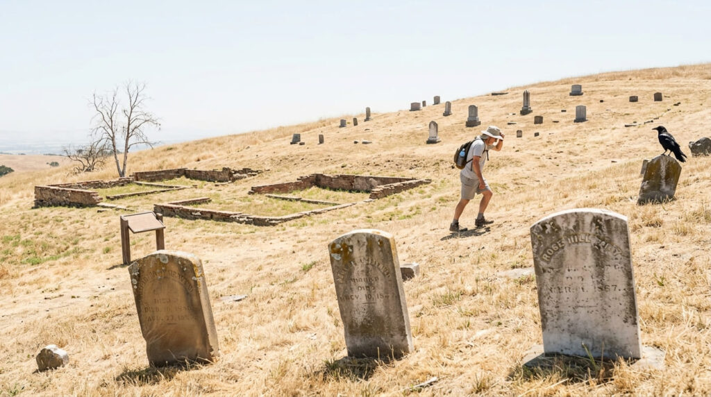
Between the 1850s and early 1900s, nearly 4 million tons of coal were extracted here, supporting five mining towns: Nortonville, Somersville, Stewartville, West Hartley, and Judsonville. A must-see side trip is Rose Hill Cemetery, an 1860s hilltop burial ground with only about 80 gravestones remaining, a short but unshaded, uphill walk from the parking lot. The guided underground tour offered here is specifically of the later Hazel-Atlas sand mine, dating to the 1920s–40s glass-making era, rather than the original 19th-century coal workings.
Best time to hike Black Diamond Mines: check the tour schedule for the underground mine tour
The Hazel-Atlas mine tour runs on a limited, seasonal schedule separate from the preserve’s general trail access; confirm current tour dates directly with the East Bay Regional Park District before planning a visit around it specifically.
Morgan Territory Regional Preserve Trail
Trailhead access and parking at Morgan Territory Regional Preserve
The least-developed, most rural-feeling park in this guide, bordering Mount Diablo State Park itself, with access roads from both Clayton and Livermore. Dogs are welcome here at no additional fee, unlike Briones’ $2 dog charge.
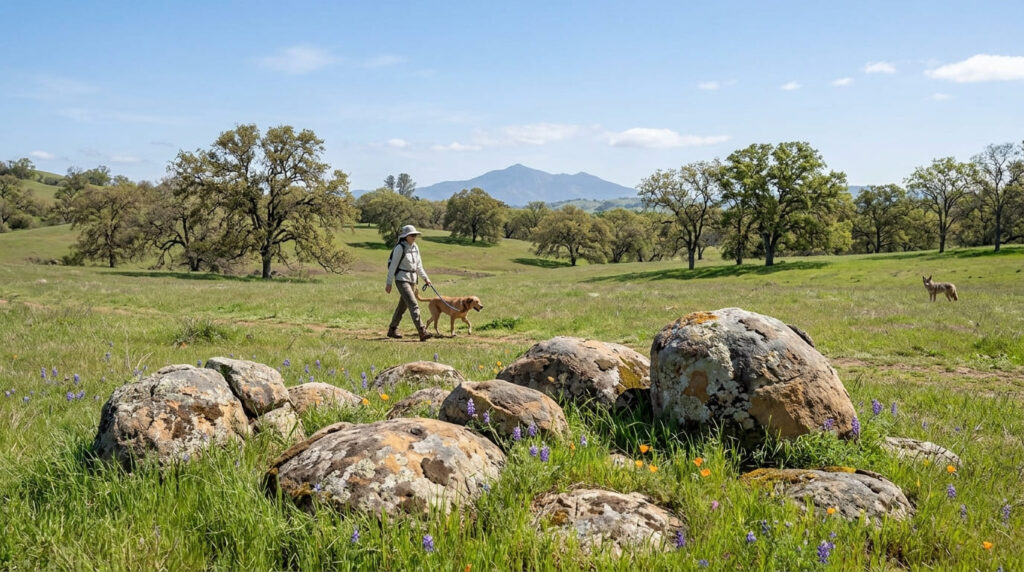
What you’ll see: oak savanna and rock outcrops with Mount Diablo views
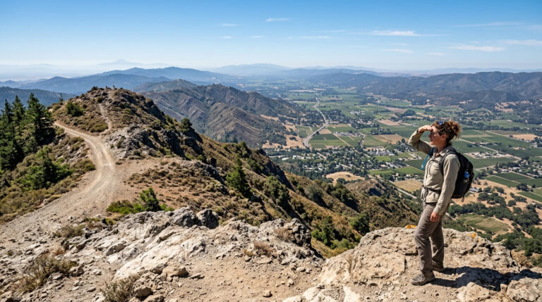
This 5,230-acre preserve (named for 1850s rancher Jeremiah Morgan) offers open oak savanna dotted with distinctive rock outcrops, with wide-ranging views back toward Mount Diablo, covered in its own dedicated guide.
Best time to hike Morgan Territory: spring and fall, given the exposed, shadeless terrain
Largely open, unshaded terrain makes the shoulder seasons considerably more comfortable here than a summer midday visit.
Round Valley Regional Preserve Trail
Trailhead access and parking at Round Valley Regional Preserve, near Byron
With free access on Marsh Creek Road, about 5 miles west of Vasco Road, this is one of the county’s most remote and least-visited regional parks, and one of two staging points for tour buses heading into the nearby Vasco Caves Regional Preserve.
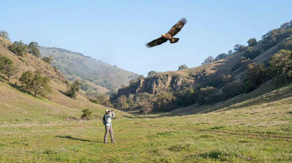
What you’ll see: a secluded valley with golden eagle nesting sites
This 1,911-acre preserve protects known golden eagle nesting territory in a genuinely secluded valley bordering Morgan Territory to the southwest, providing a raptor-specific wildlife payoff distinct from every other trail in this guide.
Best time to hike Round Valley: spring for wildflowers, cooler temperatures for wildlife activity
Spring pairs wildflower bloom with the cooler-weather conditions that tend to bring golden eagles and other raptors out more visibly.
Carquinez Strait Regional Shoreline Trail
Trailhead access and parking at Carquinez Strait Regional Shoreline, Martinez
Free access is available at one of two separate sections: the Bull Valley Staging Area serves Eckley Pier and the western portion, while a Port Costa staging area serves the George Miller Trail (note: its restroom and ADA parking are closed for construction July 20–30).
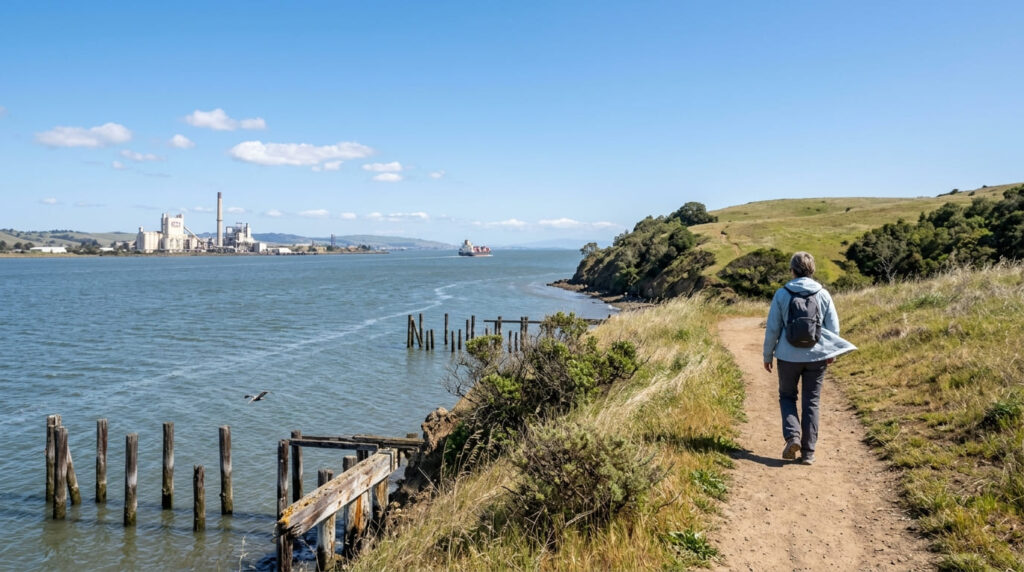
What you’ll see: views across the Carquinez Strait to the historic C&H Sugar Refinery
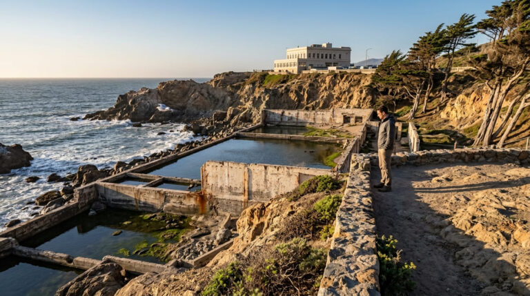
Open rolling grassland, wooded ravines, and river shoreline lead to broad water views across the strait, including the historic C&H Sugar refinery in Crockett and remnants of a century-old brickworks, grain wharf, and resort, offering a genuinely industrial-landscape contrast to the pastoral and mining-history parks elsewhere in this guide.
Best time to hike Carquinez Strait Regional Shoreline: any season, a reliable waterfront walk
Low elevation and a consistent bay breeze keep this comfortable across virtually the entire year, unlike the more exposed, season-dependent parks elsewhere in this guide.
The trail I’d actually start with
If you’ve only got one stop, make it Black Diamond Mines; nothing else in this guide packs as much layered human history into one visit, cemetery included. Briones is the pick for a genuinely pastoral East Bay escape, and Morgan Territory rewards anyone who wants Mount Diablo views without paying that park’s entrance fee. Round Valley and Carquinez Strait both deserve their own dedicated trips, timed to golden eagle season and a calm waterfront walk respectively.
For Mount Diablo itself, my dedicated Mount Diablo guide covers the mountain these regional parks all sit near or border, and my Contra Costa County hiking guide rounds out everything else the county offers.
Frequently asked questions
Is there a fee at Briones Regional Park?
Yes, at most staffed staging areas, the fee is $3 for parking plus $2 for dogs, cash only, mostly collected on weekends and sunny days. The Lafayette Ridge Staging Area is free, though it requires a longer walk to reach the park’s interior.
Was there a coal mine at Black Diamond Mines?
Yes, nearly 4 million tons of coal were extracted here between the 1850s and early 1900s, supporting five mining towns. Later sand mining for glass production continued into the 1940s, and it’s that later mine that’s open for guided tours today.
Can you see Mount Diablo from Morgan Territory?
Yes, this preserve directly borders Mount Diablo State Park, and its oak savanna and rock outcrops offer clear views back toward the mountain.
Are there golden eagles at Round Valley?
Yes, this secluded 1,911-acre preserve protects known golden eagle nesting territory, a genuine rarity among this county’s regional parks.
Can you see the sugar refinery from Carquinez Strait Trail?
Yes, the historic C&H Sugar refinery in Crockett is visible across the water from several points along this shoreline trail.
Which Contra Costa regional park has the most history?
Black Diamond Mines, by a clear margin; coal mining, a later sand mine still open for guided tours, five vanished mining towns, and an 1860s cemetery all sit within one preserve.