Best Hiking Trails in Tulare County, California
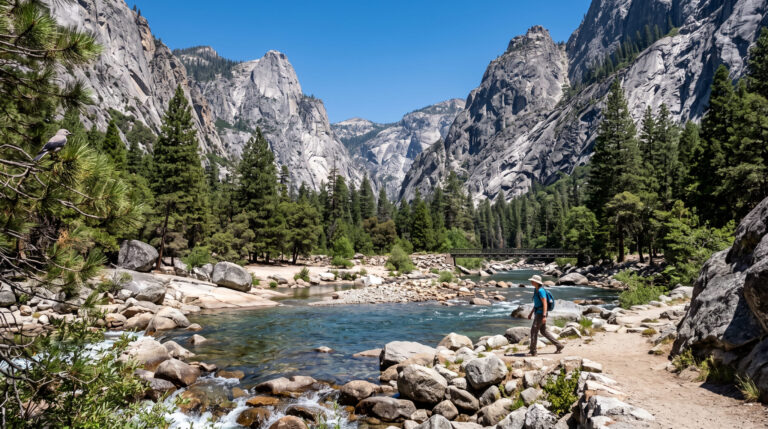
Tulare County holds the parts of Sequoia National Park most visitors actually picture when they think of the place: Giant Forest, the General Sherman Tree, Moro Rock, and the remote alpine valley of Mineral King. The park technically straddles Tulare and Fresno counties, but its most iconic sights, and the trailhead for one of America’s greatest long-distance routes, all sit on the Tulare side. If you’ve only got one county to base a Sequoia trip out of, this is the one. Mapping out your route along the premier Hiking Trails in Tulare County is the definitive way to experience these towering giants and rugged mountain passes.
Disclosure: Please note that some of the links below are affiliate links and at no additional cost to you, I may earn a commission. Know that I only recommend hiking gear I personally stand behind; when you use my affiliate links, it helps me run this blog and keep all of this content free of charge for readers (like you).
Key takeaways
- Tulare County contains Sequoia National Park’s Giant Forest, Lodgepole, and Mineral King sectors, the park’s most-visited and most photographed areas.
- The General Sherman Tree, the largest tree on Earth by volume, sits within a five-mile radius of Moro Rock, Crescent Meadow, and Tokopah Falls, a dense cluster of must-see sights.
- Moro Rock’s staircase has 350 steps, carved into the granite by the Civilian Conservation Corps in 1931, gaining about 300 ft over a quarter-mile to a 360-degree summit view.
- Mineral King’s marmots really do chew through car wiring; it’s a well-documented, NPS-acknowledged issue specific to this one remote valley, and securing a heavy tarp tightly over the undercarriage and wheel wells is standard local advice, not an exaggeration.
Related
- Sequoia National Park Winter & Seasonal Hiking Guide
- Sequoia National Park Attractions & Crystal Cave Guide
- 5 Best Hiking Trails in Sequoia National Park, Tulare County
- 5 Best Waterfall Hiking Trails in Tulare County
Why Tulare County contains the heart of Sequoia National Park
Sequoia National Park splits across two counties, but the sights most people travel here to see- the General Sherman Tree, Moro Rock, Crescent Meadow, and the remote Mineral King Valley- all fall on the Tulare County side, along with the trailhead for the 72-mile High Sierra Trail.
Tulare County’s three hiking zones
Giant Forest and Lodgepole hold the park’s greatest concentration of famous sights: Congress Trail, Tokopah Falls, the Wolverton area, and Moro Rock, most within a few miles of each other and the easiest zone to plan a first visit around.
Mineral King is a remote, high-alpine valley at 7,800 ft reached by a narrow, winding 25-mile road that takes RVs and trailers out of the equation entirely, with 25 miles of trail once you arrive and a noticeably quieter crowd than Giant Forest sees.
The Kaweah River foothills around Three Rivers and Lake Kaweah offer lower-elevation trails, including Colony Mill Road, that stay accessible even when the high country is buried in snow, making this the zone to fall back on for a winter or early-spring visit.
Best hiking trails in Sequoia’s Giant Forest, Tulare County
Giant Forest is Sequoia National Park’s most-visited section, and for good reason: Congress Trail, Moro Rock, Crescent Meadow, Tokopah Falls, and the General Sherman Tree all sit within about five miles of each other. Most visitors base a trip out of Three Rivers or Visalia, though the hiking trails in Kings County to the west offer a cheaper lodging alternative within a similar drive.
Tokopah Falls Trail: Tulare County’s best Sequoia waterfall hike
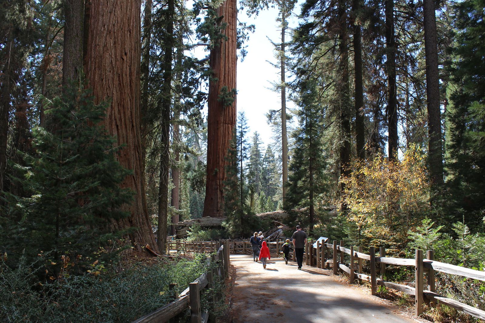
At 3.4 miles round trip with about 600 ft of gain from the Lodgepole trailhead, Tokopah Falls climbs to a 1,200-ft granite cascade, one of the largest waterfalls in California by the combination of height and volume.
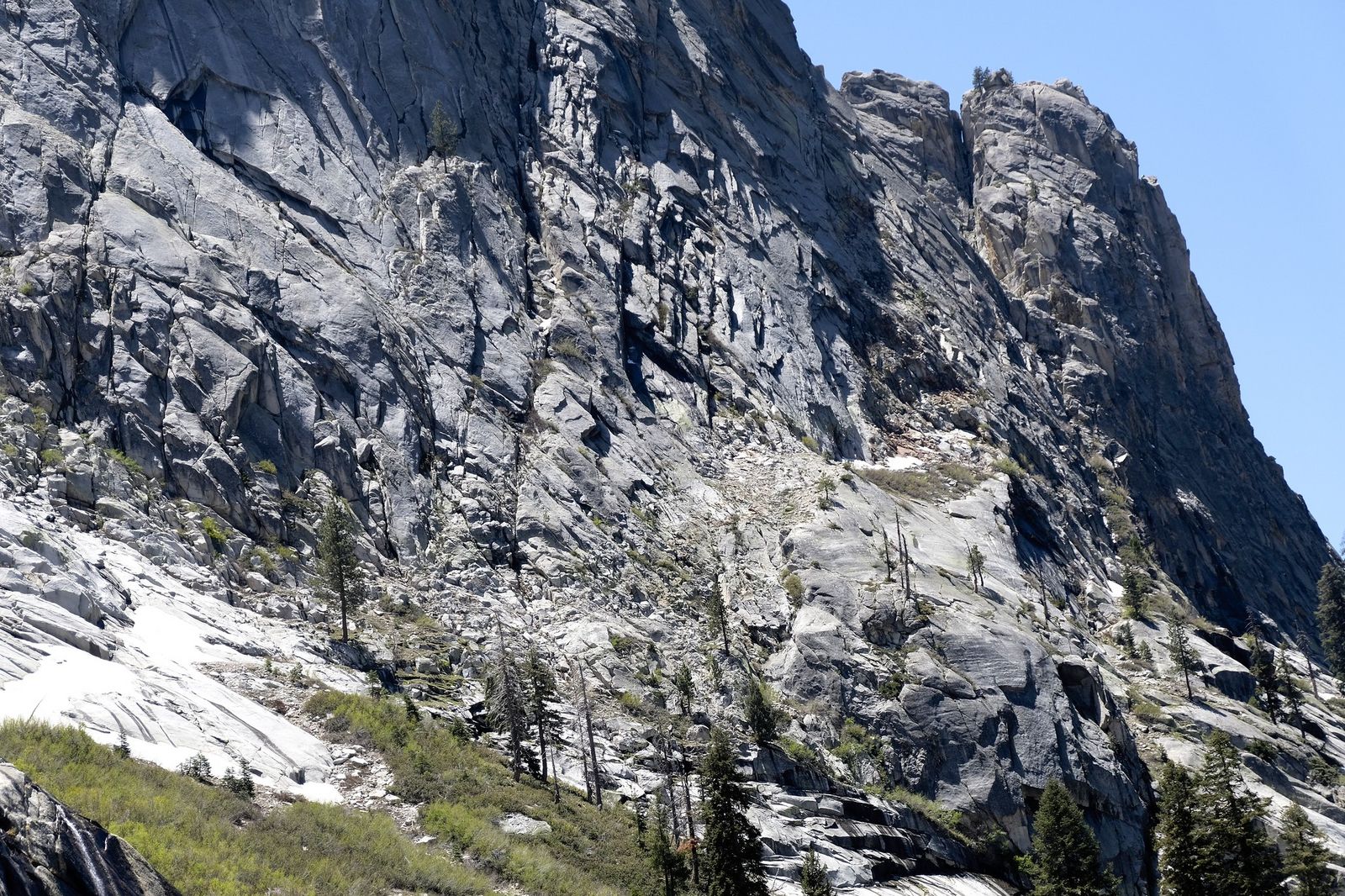
May through June, during peak snowmelt, is when it’s most dramatic, and the trail gets crowded on weekends, so arriving before 8 am is worth it if you want the falls without a crowd. Entry is the standard $35 park fee.
Moro Rock: Tulare County’s most thrilling easy summit in Sequoia
This 0.5-mile round trip climbs just 300 ft, but it does it via 350 steps carved into a granite dome, a staircase built by the Civilian Conservation Corps in 1931, replacing an earlier 1917 wooden structure.
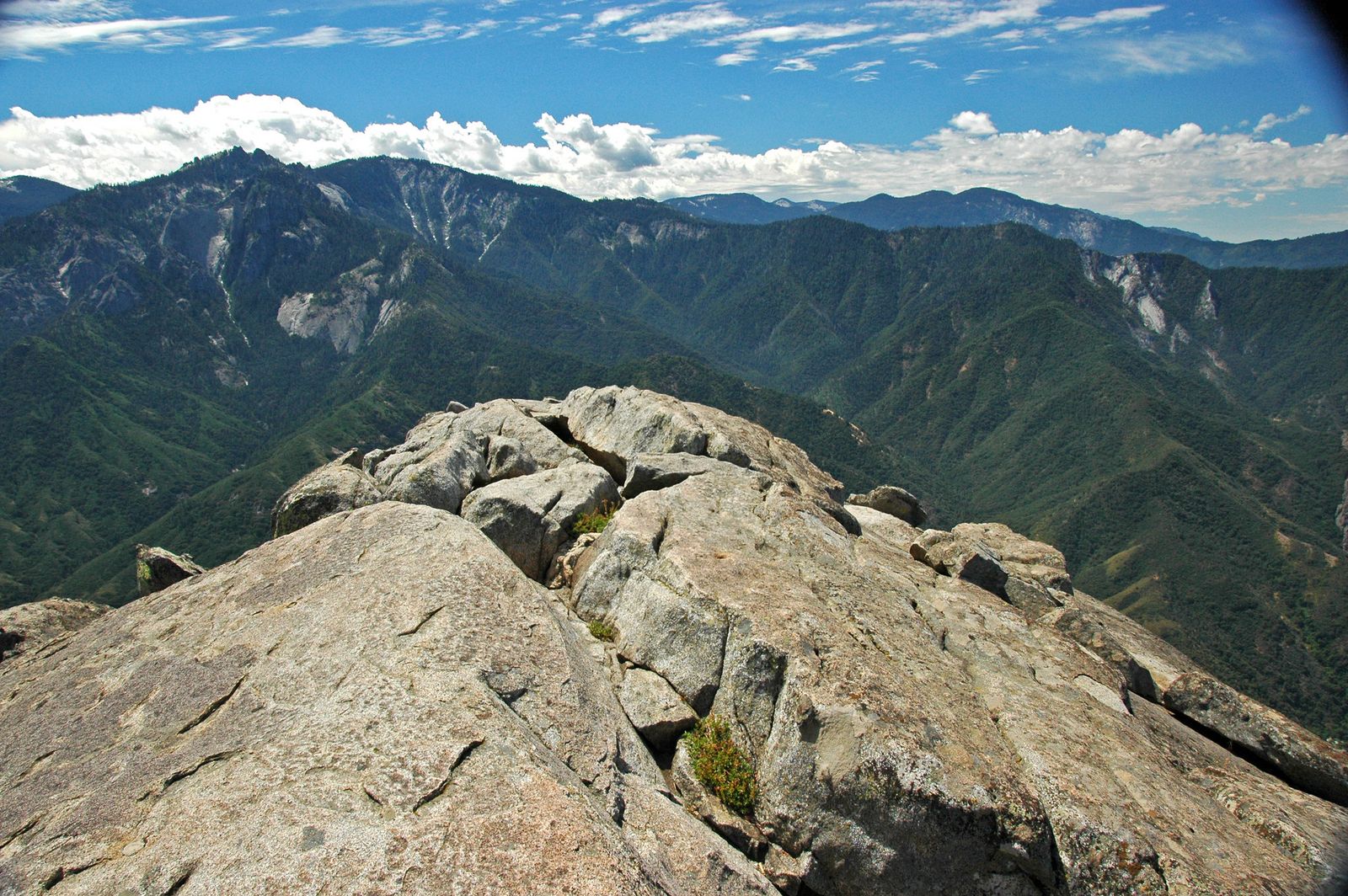
At the 6,725-ft summit, the payoff is a 360-degree view of the Great Western Divide, with a narrow ledge path along the way that gives even confident hikers a modest jolt of exposure.
Dogs and bikes aren’t allowed on the trail, technical climbing on the rock itself is banned from April through mid-August to protect nesting peregrine falcons, and the access road closes with the first snow each winter.
High Sierra Trail: Tulare County’s epic trans-Sierra wilderness route
Starting at Crescent Meadow in Giant Forest and running 72 miles one-way to Mount Whitney Portal, the High Sierra Trail crosses the Great Western Divide at Kaweah Gap before joining the John Muir Trail corridor for its final push to Whitney’s summit.
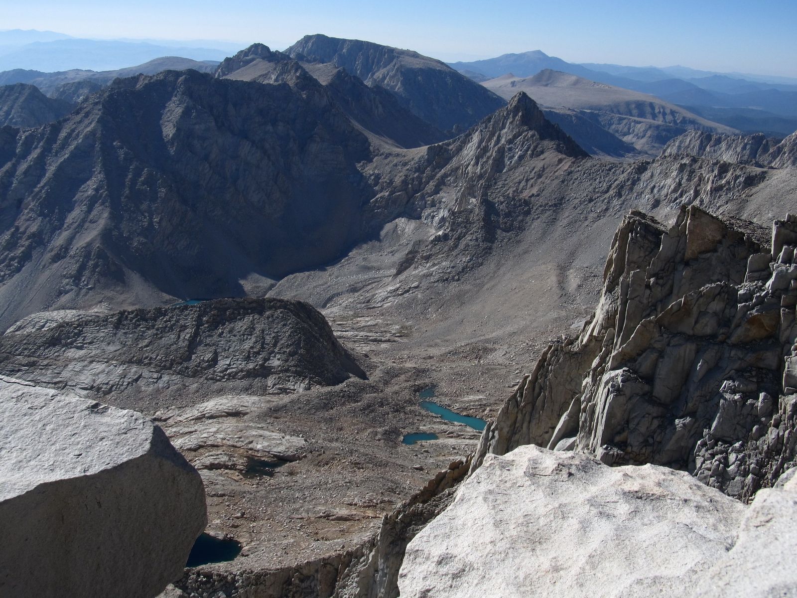
Most backpackers take 6 to 8 days to complete it, and it’s routinely ranked among America’s greatest long-distance trails for the sheer variety of terrain it covers in a single route: river canyons, alpine passes, and a 14,000-ft summit finish, all connected by one continuous path.
A wilderness permit through Recreation.gov is required, and the quota is competitive; book as far in advance as the reservation window allows, especially for a summer start date, since popular entry dates can fill within minutes of release.
Best hiking trails in Mineral King, Tulare County
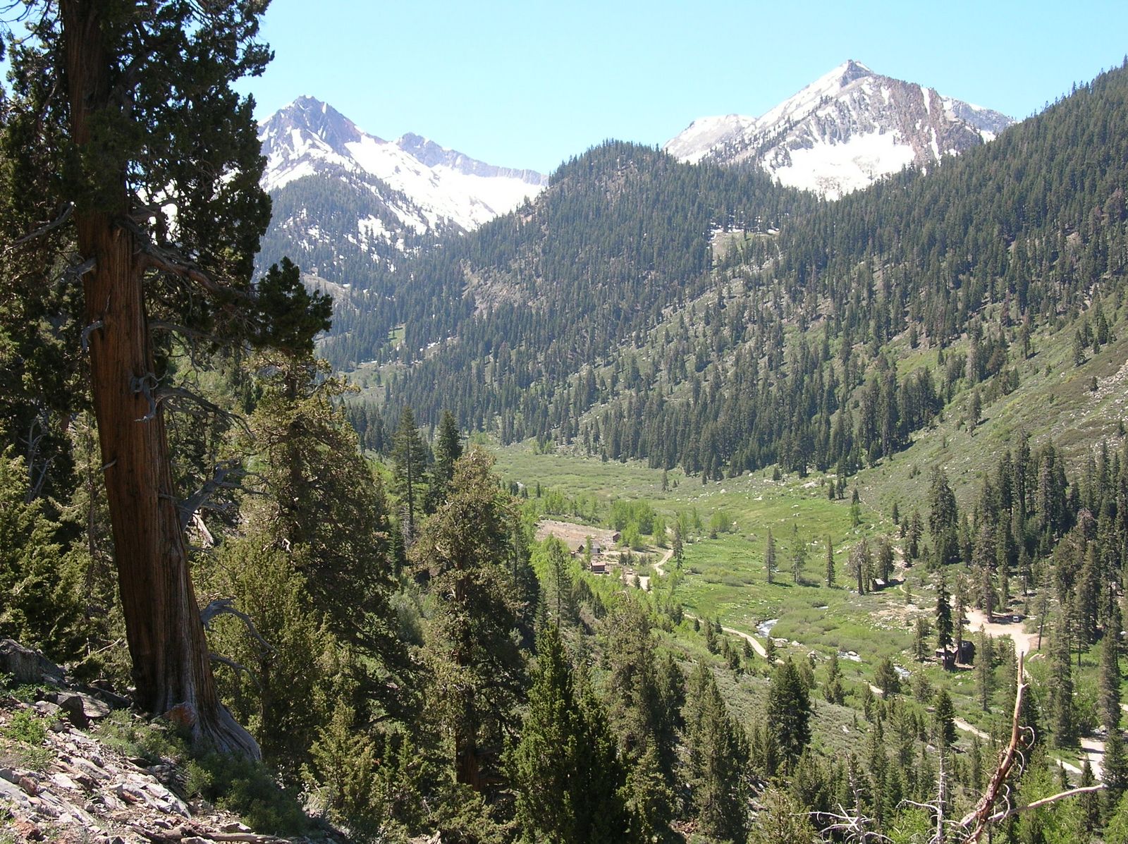
Mineral King is Sequoia National Park’s most remote developed area, reached by a narrow, winding 25-mile road from Three Rivers that rules out RVs and trailers entirely and takes a full hour or more to drive, even though it isn’t a long distance on the map.
Eagle Lake Trail: Mineral King’s best alpine lake day hike
This 6.8-mile round trip climbs about 2,200 ft from the 7,800-ft Mineral King trailhead to Eagle Lake at 10,000 ft, a vividly blue alpine lake fed by snowmelt that stays cold even in the middle of summer.
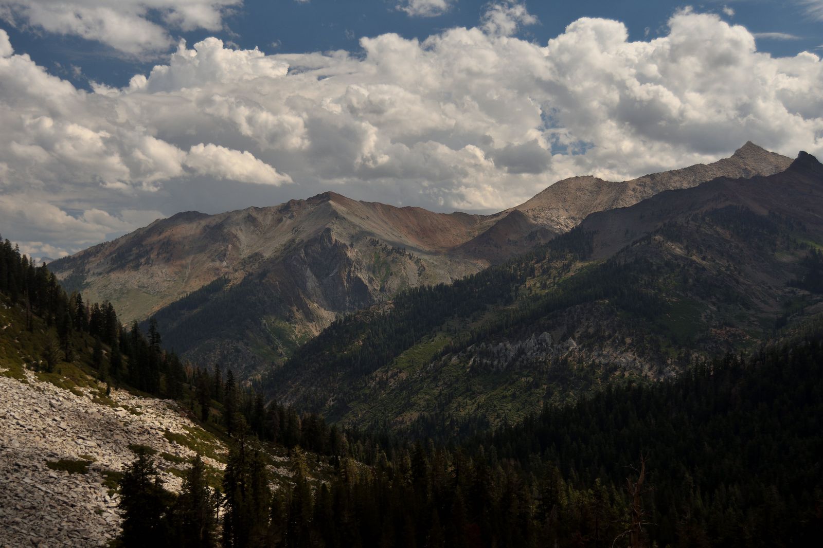
The canyon approach is spectacular; the elevation gain makes this a strenuous outing regardless of the modest mileage, and July through September is the reliable season. No separate permit is needed for a day hike; the standard $35 park entry covers the road access and trail.
One detail worth taking seriously if you’re driving to Mineral King: marmots in this valley have developed a habit of chewing through car wiring and hoses, likely drawn to the taste of antifreeze or the warmth of engine compartments after a cold night.
It’s not an exaggeration or local legend; rangers and regular visitors alike recommend driving onto and wrapping a heavy tarp tightly around the vehicle and wheel wells before you leave it, and some visitors leave a tarp or mesh cover over the whole undercarriage. The problem is specific enough to this one valley that you won’t hear the same warning anywhere else in the park.
Best waterfall hiking trails in Tulare County
Beyond Tokopah Falls, Sequoia National Park’s lower-elevation Foothills section holds a waterfall hike that stays open even when the high country above is closed for the season.
Marble Falls Trail: Tulare County’s best low-elevation Sequoia hike
At 7.8 miles round trip with about 2,000 ft of gain from the Potwisha Campground area near the Foothills Visitor Center, Marble Falls Trail climbs through oak and chaparral terrain rather than the conifer forest defining most of the park’s other hikes.
March through May is peak flow season for the falls and their pool, and because this section of the park sits at much lower elevation than Giant Forest, it stays accessible year-round even when snow has closed the high country above. Entry is the standard $35 park fee.
Tulare County rewards planning a Sequoia trip around its three zones rather than trying to see everything from one base: Giant Forest for the famous sights and easiest logistics, Mineral King for remoteness and alpine scenery, and the Kaweah foothills for a lower-elevation option that works even in winter.
Start with Moro Rock or Tokopah Falls if it’s your first visit, and save Mineral King and the High Sierra Trail for once you’ve got the extra driving time and permit planning sorted. Few places in California let a single county contain both the world’s largest tree and one of the country’s great backpacking routes.
Frequently asked questions about hiking trails in Tulare County
What are the best hiking trails in Sequoia National Park in Tulare County?
Moro Rock is the best short, high-payoff hike, Tokopah Falls is the standout waterfall trail, and the High Sierra Trail is the signature multi-day route for experienced backpackers. All three sit within Giant Forest or its immediate trailhead network.
How do I get a permit for the High Sierra Trail in Sequoia?
Wilderness permits are issued through Recreation.gov, and the quota for popular start dates is competitive, so booking as early as the reservation window opens gives you the best chance. Most hikers plan for 6 to 8 days to complete the full 72-mile route to Mount Whitney Portal.
Is Mineral King worth visiting for hiking in Sequoia National Park?
Yes, it’s one of the most rewarding alpine hiking areas in the park precisely because the difficult access road keeps visitor numbers low. Eagle Lake and Mosquito Lakes both deliver high-Sierra scenery without the crowds found in Giant Forest.
Are marmots really a problem at Mineral King in Sequoia?
Yes, marmots in this specific valley are known to chew through car wiring and hoses, likely drawn to antifreeze or engine warmth. Wrapping a heavy tarp tightly over the undercarriage and wheel wells before you park is the recommended method, widely recommended advice, not an exaggeration.
What hiking trails in Tulare County are open year-round?
Sequoia’s Foothills section, including the Marble Falls Trail near Potwisha Campground, sits at low enough elevation to stay open through winter, when Giant Forest and Mineral King are typically snowed in. It’s the best cold-season option if you want to hike inside the park outside the main summer season.
How hard is the Moro Rock hike in Sequoia National Park?
It’s short at just 0.5 miles round trip, but strenuous for its length: 350 steps and about 300 ft of gain up a steep granite staircase, typically taking 30 to 60 minutes round trip. The narrow ledge sections along the way give even confident hikers a bit of a rush, though handrails run the entire route.