Best Hiking Trails in Lake County, California
Lake County holds California’s largest natural freshwater lake entirely within the state, a dormant volcano rising straight from its shore, a marsh site with 10,000 years of continuous human habitation, and a remote wilderness summit in the Coast Range, and almost none of it gets the attention it deserves. Ninety miles north of San Francisco, this is one of the more overlooked nature hiking destinations left in Northern California, overshadowed by the wine-country fame of its neighbors to the south. Exploring the premier Hiking Trails in Lake County is the perfect way to discover a hidden gem for outdoor adventures.
Disclosure: Please note that some of the links below are affiliate links and at no additional cost to you, I may earn a commission. Know that I only recommend hiking gear I personally stand behind; when you use my affiliate links, it helps me run this blog and keep all of this content free of charge for readers (like you).
Key takeaways
- Lake County has three hiking zones: Clear Lake and Mount Konocti, the Snow Mountain Wilderness in Mendocino National Forest, and Anderson Marsh near Lower Lake.
- Clear Lake, at 68 square miles, is the largest natural freshwater lake located entirely within California, Lake Tahoe is bigger, but it’s shared with Nevada.
- Mount Konocti is a dormant volcano rising to about 4,300 ft directly from the lake’s south shore, still classified as having high threat potential by the USGS despite no eruptions in roughly 10,000 years.
- Anderson Marsh’s Cache Creek Village site has been continuously inhabited for around 10,000 years, making it one of the most significant archaeological sites in Northern California.
- The Redbud Trail’s February-to-March bloom is one of California’s most striking spring wildflower displays, with entire hillsides turning magenta for a few short weeks each year.
Related
- 5 Best Hiking Trails Near Clear Lake, Lake County
- 5 Best Hiking Trails in the Mendocino National Forest, Lake County
Why Lake County is Northern California’s most overlooked nature hiking destination
Napa and Sonoma get the wine-country attention; Lake County, just north of both, gets the same volcanic geology and rural beauty with a fraction of the visitors. Clear Lake, Mount Konocti, and a share of the Mendocino National Forest’s most remote wilderness all sit inside county lines that most Bay Area hikers drive straight past on their way somewhere else entirely.
Lake County’s three hiking zones
Clear Lake’s shoreline and Mount Konocti cover the towns of Kelseyville, Lakeport, and Clearlake, where volcanic terrain meets the water directly and most of the county’s tourism infrastructure is concentrated.
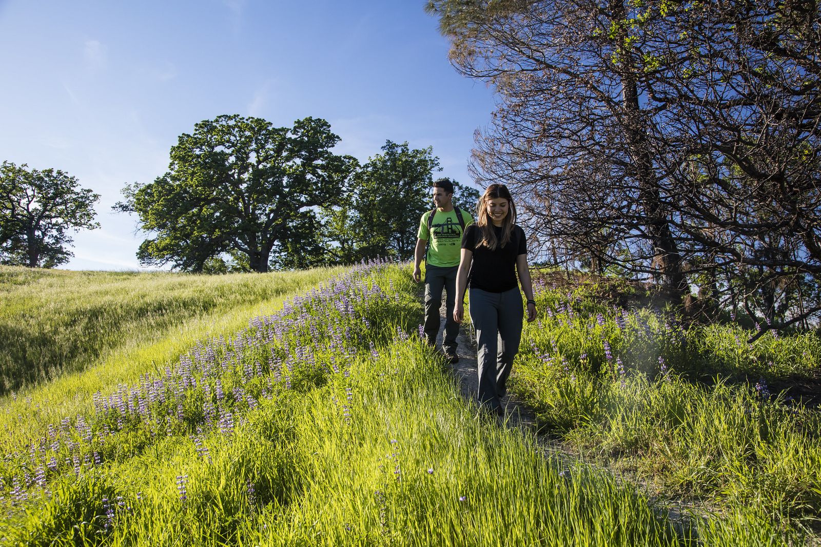
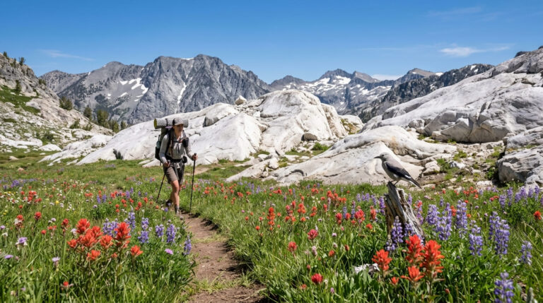
Snow Mountain Wilderness and the Mendocino National Forest’s eastern reaches hold Elk Mountain and the Cache Creek corridor, remote backcountry that straddles the Lake, Colusa, and Glenn county lines and sees only a fraction of the visitors comparable Sierra wilderness areas do.
Anderson Marsh and the Lower Lake area protect a Pomo archaeological site and a tule marsh wildlife refuge, a completely different landscape from the volcanic hills surrounding the rest of the county and a strong pick for anyone prioritizing wildlife over elevation gain.
Best hiking trails on Mount Konocti, Lake County
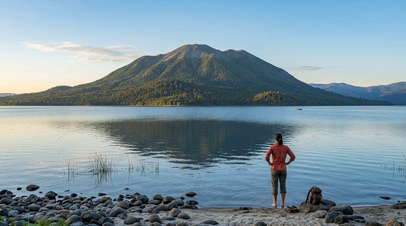
Mount Konocti is a dormant shield volcano rising directly from Clear Lake’s south shore to roughly 4,300 ft, managed today as a Lake County regional park.
Mount Konocti Summit Trail: Lake County’s most rewarding hike
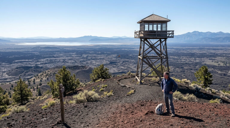
The full summit route to Wright Peak runs roughly 6 miles round trip with around 1,600 ft of gain from the Konocti Road trailhead, climbing through volcanic rock, manzanita, and pine as the elevation increases and the vegetation transitions with it.
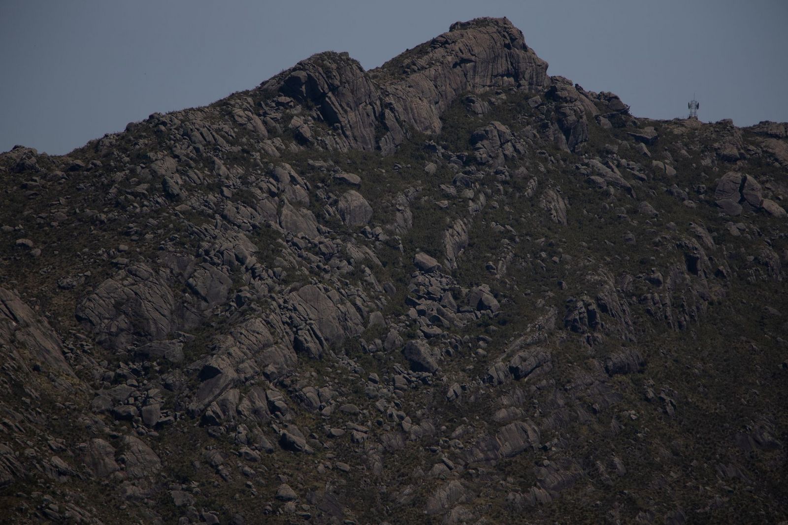
From the summit, views take in Clear Lake in its entirety, the Mayacamas Range, and Napa Valley beyond it, with Mount Shasta visible far to the north on an especially clear day, a rare vantage point for a peak this close to the Bay Area.
Park access is free, the lower trail sections stay open year-round, and snow is possible at the summit itself from November through March, so check conditions before a winter attempt on the full route.
Mount Konocti trail system: shorter options for casual hikers
If the full summit push is more than you’re after, the South Trail covers about 3 miles round trip with roughly 800 ft of gain to a viewpoint that still delivers a panoramic look at Clear Lake, without the elevation commitment of reaching the true summit.
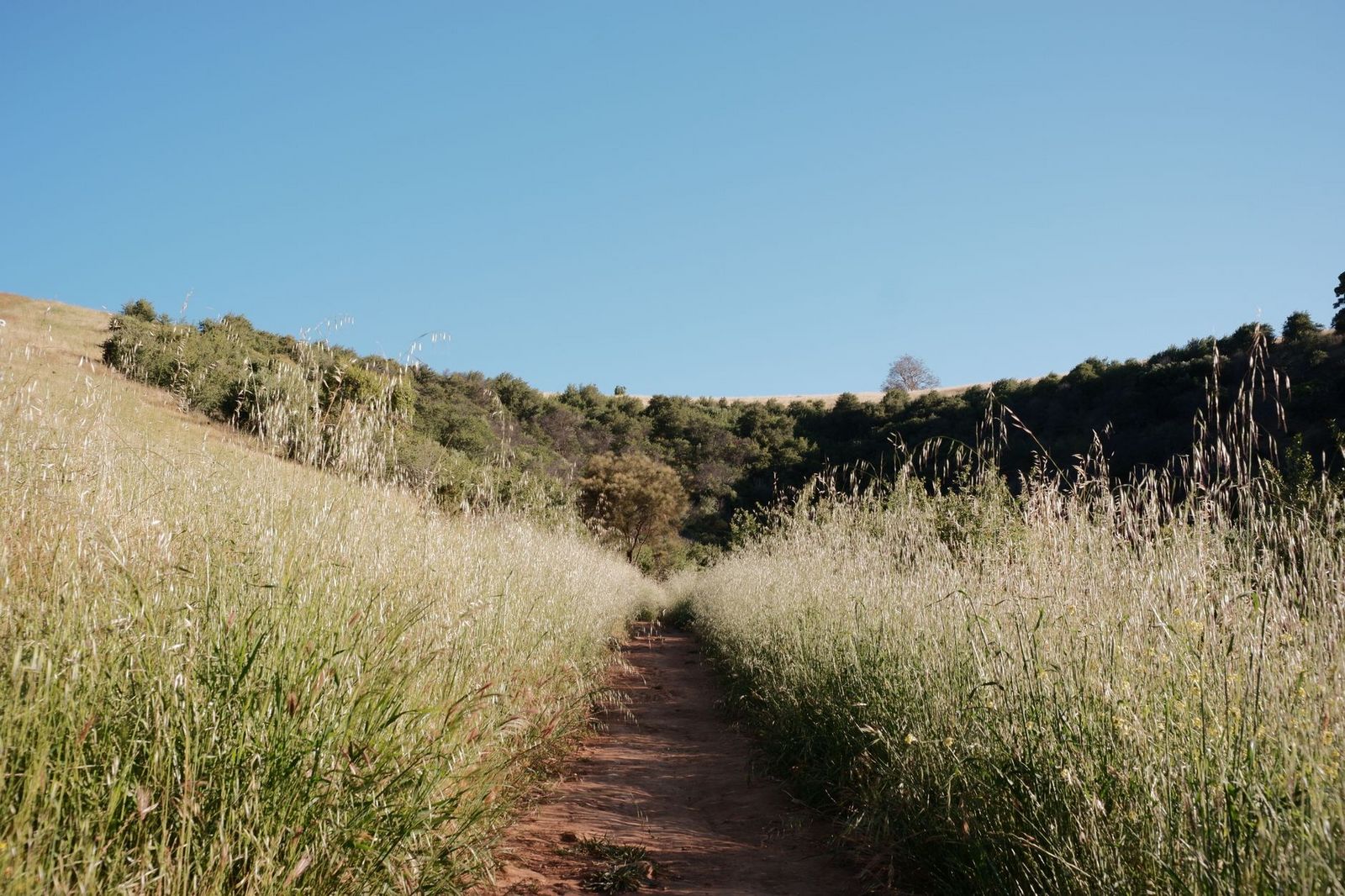
Interpretive signs along the way cover the mountain’s volcanic geology, and park access is free. It’s accessible year-round and makes a solid option for families or anyone short on time.
Best hiking trails at Anderson Marsh State Historic Park, Lake County
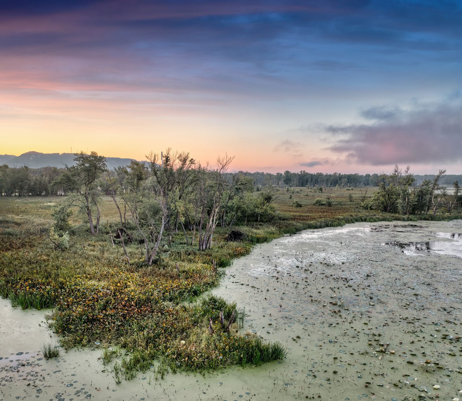
At 870 acres near Lower Lake, Anderson Marsh protects the largest remaining freshwater tule marsh in California alongside the Cache Creek Village archaeological site, continuously inhabited for roughly 10,000 years.
Marsh Trail at Anderson Marsh: Lake County’s best birdwatching and archaeology walk
The Marsh Trail combines with the McVicar Wildlife Sanctuary loop for about 5 miles of flat walking around the tule marsh perimeter, with more than 150 bird species documented here, including great blue herons, great egrets, and canvasbacks, a serious birdwatching destination that draws dedicated birders from well outside the county.
Pomo grinding stones remain visible at points along the archaeological site, with interpretive panels explaining the significance of a location humans have used continuously for millennia, long before European contact reached this part of California.
Day use runs $4, and while historic ranch house tours run on select days, the park grounds and trail system are open 7 days a week from sunrise to sunset, so check the schedule before planning a visit around it.
Best hiking trails in the Snow Mountain Wilderness, Lake County
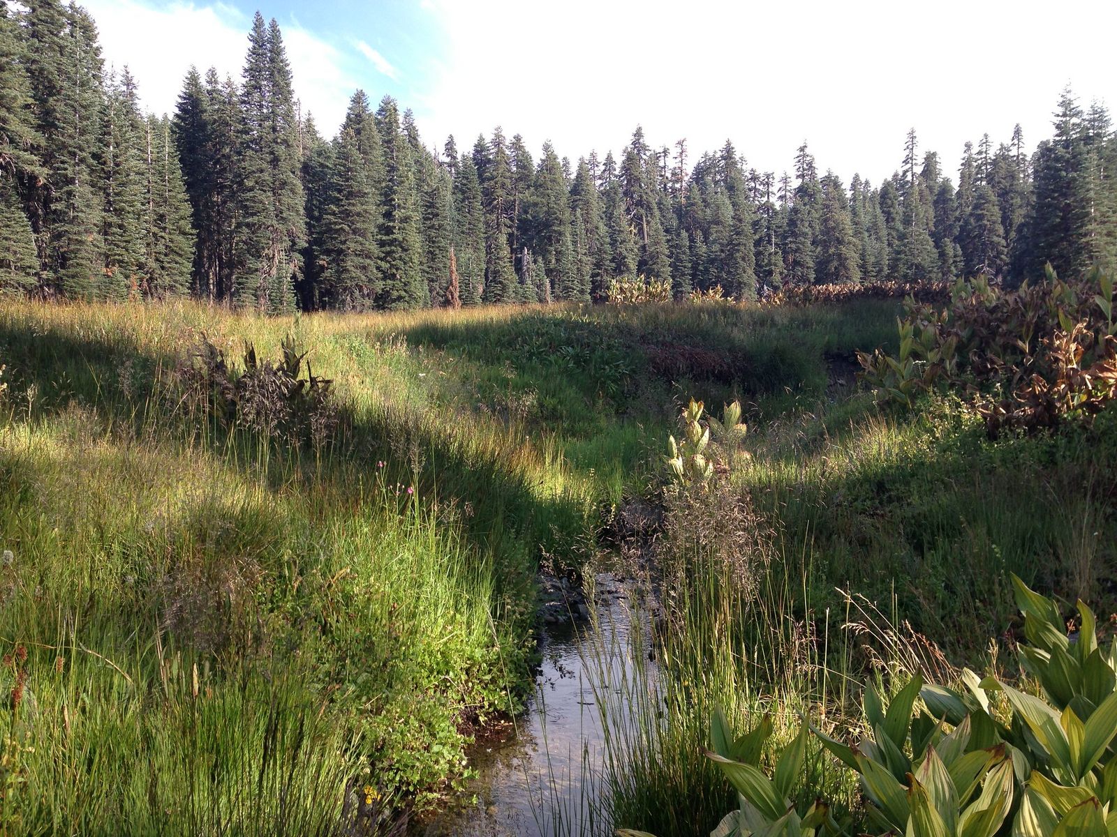
At over 60,000 acres within Mendocino National Forest, straddling the Lake, Glenn, and Colusa county lines, Snow Mountain Wilderness holds one of the few easily accessible summits in the entire Coast Range.
Snow Mountain Summit Trail: Lake County’s best high-country hike
From the Milk Ranch trailhead, this 8-mile round trip climbs about 2,400 ft to Snow Mountain’s East Peak at 7,056 ft, the highest point in Lake County, with panoramic views across the Coast Range in every direction. No permit is required, and the access road typically opens in May and closes by November.
Given how remote this wilderness is, always check current fire restrictions and closures before heading out, since this part of the Coast Range has seen its share of fire activity in recent years.
Best hiking trails and nature walks at Clear Lake, Lake County
Beyond Mount Konocti, a handful of shorter trails let you experience Clear Lake’s shoreline and surrounding oak woodland without committing to a full day.
Redbud Trail: Lake County’s best wildflower and lake shore hike
Managed by the Bureau of Land Management (BLM) within the Cache Creek area, this 4.5-mile round trip trail winds through oak woodland to ridge-top views of Clear Lake, timed around one of California’s most striking spring wildflower displays: western redbud blooming magenta across entire hillsides from February through March.
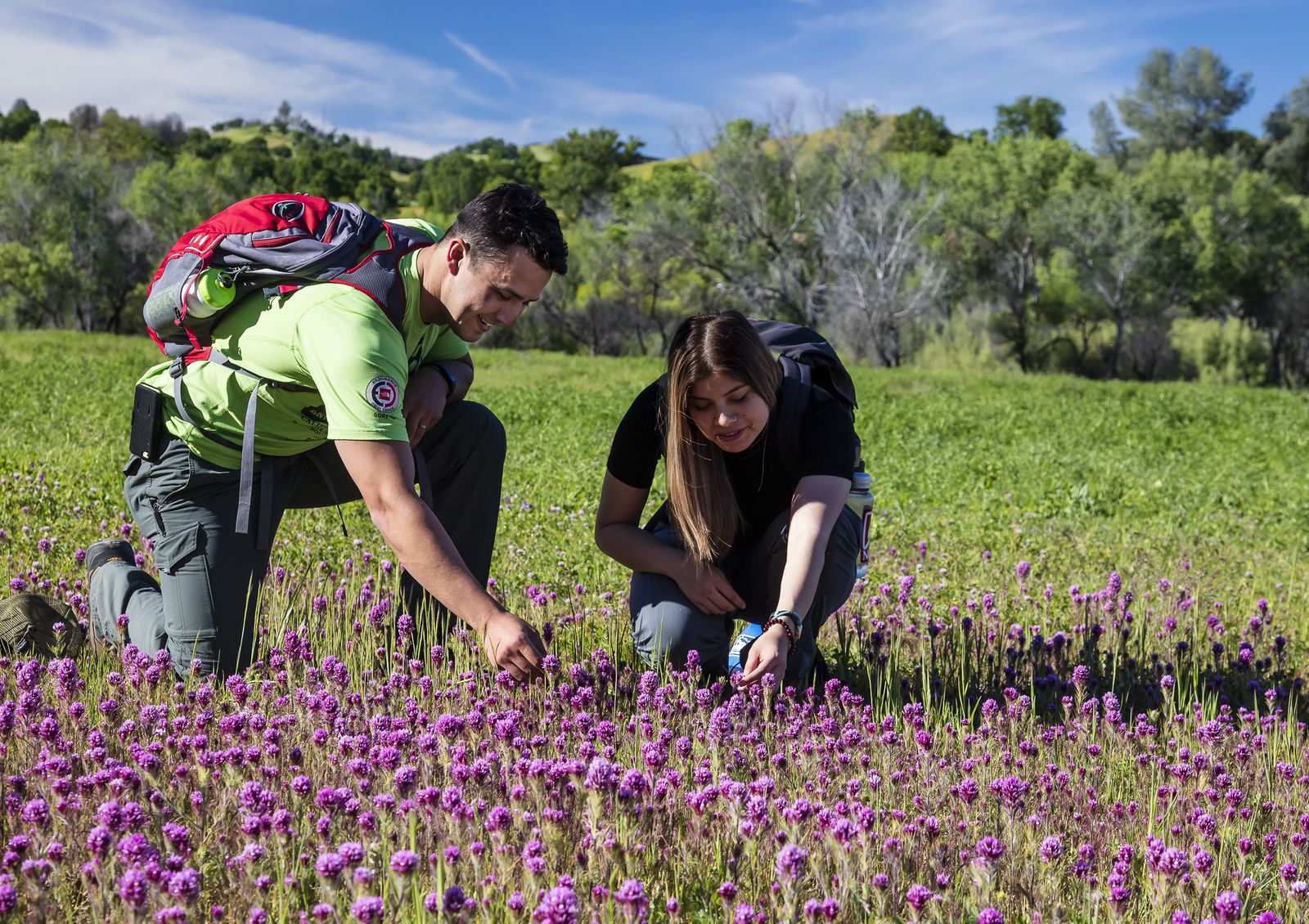
Access is free with public trailhead parking directly off Highway 20 (east of Clearlake Oaks), and outside bloom season the trail still delivers solid oak woodland scenery and lake views on a quieter schedule with none of the seasonal crowd.
Westside Community Park in Lakeport (a 1-mile paved lakeside path) and the Cache Creek Nature Preserve near Lower Lake (2 miles of riparian trail) round out the county’s easier lakeside walking options for anyone wanting something shorter.
Lake County rewards visitors willing to look past its lack of name recognition; Mount Konocti alone delivers a volcano-and-lake hiking experience that would draw real crowds anywhere closer to a major city, and Snow Mountain offers a level of Coast Range solitude that’s hard to find elsewhere in Northern California.
Start with the Redbud Trail or Mount Konocti’s South Trail if it’s your first visit, and time a trip to catch the redbud bloom or a clear day from the Konocti summit for the best version of what this county offers. Few places this close to the Bay Area remain this quiet, and that alone makes Lake County worth the drive.
Frequently asked questions about hiking trails in Lake County
Is there good hiking in Lake County, California?
Yes, and it’s underrated: Mount Konocti’s volcanic summit trail, Anderson Marsh’s archaeology and birdwatching, and the remote Snow Mountain Wilderness all deliver experiences that would draw far more visitors if they sat closer to a major metro area. Ninety miles from San Francisco, it’s an easy day trip or weekend destination that most Bay Area hikers overlook.
Can I hike to the top of Mount Konocti near Clear Lake?
Yes, the full Summit Trail runs roughly 6 miles round trip with about 1,600 ft of gain from the Konocti Road trailhead. A shorter South Trail option (about 3 miles round trip) reaches a panoramic viewpoint without the full elevation commitment if you’d rather skip the true summit push.
What is Anderson Marsh State Historic Park and can I hike there?
It’s an 870-acre park near Lower Lake protecting California’s largest remaining freshwater tule marsh alongside a Pomo archaeological site inhabited for roughly 10,000 years. The Marsh Trail and McVicar Wildlife Sanctuary loop combine for about 5 miles of flat, easy walking, open 7 days a week from sunrise to sunset (with ranch house tours on select days).
When do the redbuds bloom on the Redbud Trail near Clear Lake?
Typically February through March, when western redbud turns entire hillsides along the trail a vivid magenta. It’s one of California’s most photogenic spring wildflower displays and worth timing a visit around if the bloom is your priority.
What hiking trails are in the Snow Mountain Wilderness in Lake County?
The Snow Mountain Summit Trail from the Milk Ranch trailhead is the standout, an 8-mile round trip to the 7,056-ft East Peak summit, the highest point in Lake County. No permit is required, though check current fire restrictions before visiting, given the wilderness’s remote location.
What is the best time of year to hike in Lake County?
Spring, roughly February through May, covers both the Redbud Trail’s bloom and comfortable temperatures countywide before summer heat sets in. Snow Mountain’s high-country trails need the access road open, typically May through November, so plan a visit there specifically within that window.