Best Hiking Trails in Modoc County, California
Modoc County, in California’s remote northeastern corner, is the state’s least-visited county, with fewer than 9,000 residents spread across a high desert basin, a lava-sculpted volcanic landscape, and a mountain range most Californians have never heard of. What it lacks in visitors, it makes up for in solitude, offering unique Hiking Trails in Modoc County like lava tube caves, a 70,614-acre wilderness, and one of the largest bald eagle gatherings in the lower 48, all within a county most road trips through Northern California never touch.
Disclosure: Please note that some of the links below are affiliate links and at no additional cost to you, I may earn a commission. Know that I only recommend hiking gear I personally stand behind; when you use my affiliate links, it helps me run this blog and keep all of this content free of charge for readers (like you).
Key takeaways
- Lava Beds National Monument sits at the shared border of Modoc and Siskiyou counties, though its main visitor facilities and entrance are more commonly associated with the Siskiyou side.
- The monument holds more than 700 lava tube caves, with roughly two dozen developed enough for marked, public access via trails.
- The South Warner Wilderness protects the highest mountain range in California north of the Sierra Nevada, topped by 9,892-ft Eagle Peak, the highest point in Modoc County.
- Tule Lake National Wildlife Refuge hosts more than 500 wintering bald eagles, one of the largest concentrations found anywhere in the continental United States.
- Modoc County’s remoteness is real; expect long drives between trailheads, limited cell service, and few services once you’re off the main highways.
Hiking in Modoc County: California’s most remote and undiscovered corner
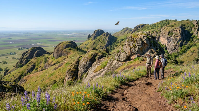
Modoc County sits at the junction of three distinct landscapes: the Warner Mountains rising sharply from Surprise Valley’s high desert floor, the volcanic Modoc Plateau shared with Lava Beds National Monument, and vast stretches of Modoc National Forest covering 1.6 million acres.
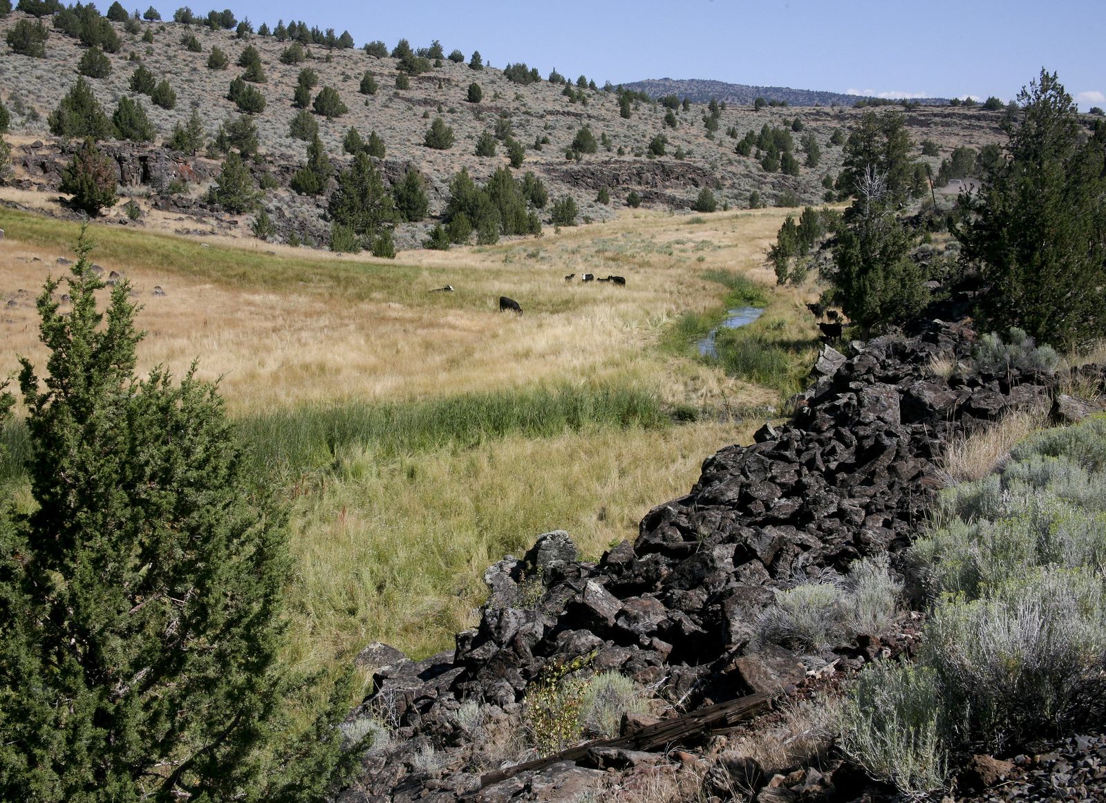
Almost none of it sees the visitor numbers that comparable landscapes draw elsewhere in California, which is exactly the appeal for hikers who’ve grown tired of crowded Sierra trailheads. That same high-desert plateau continues south into the hiking trails in Lassen County.
Best hiking trails in Lava Beds National Monument, Modoc County
At 46,000 acres near Tulelake, Lava Beds National Monument protects one of the largest concentrations of lava tube caves in North America, straddling the Modoc-Siskiyou county line on the north face of the Medicine Lake shield volcano.
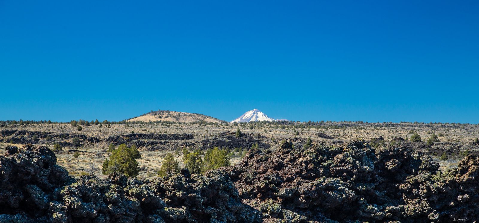
Schonchin Butte Trail: Lava Beds’ best summit hike
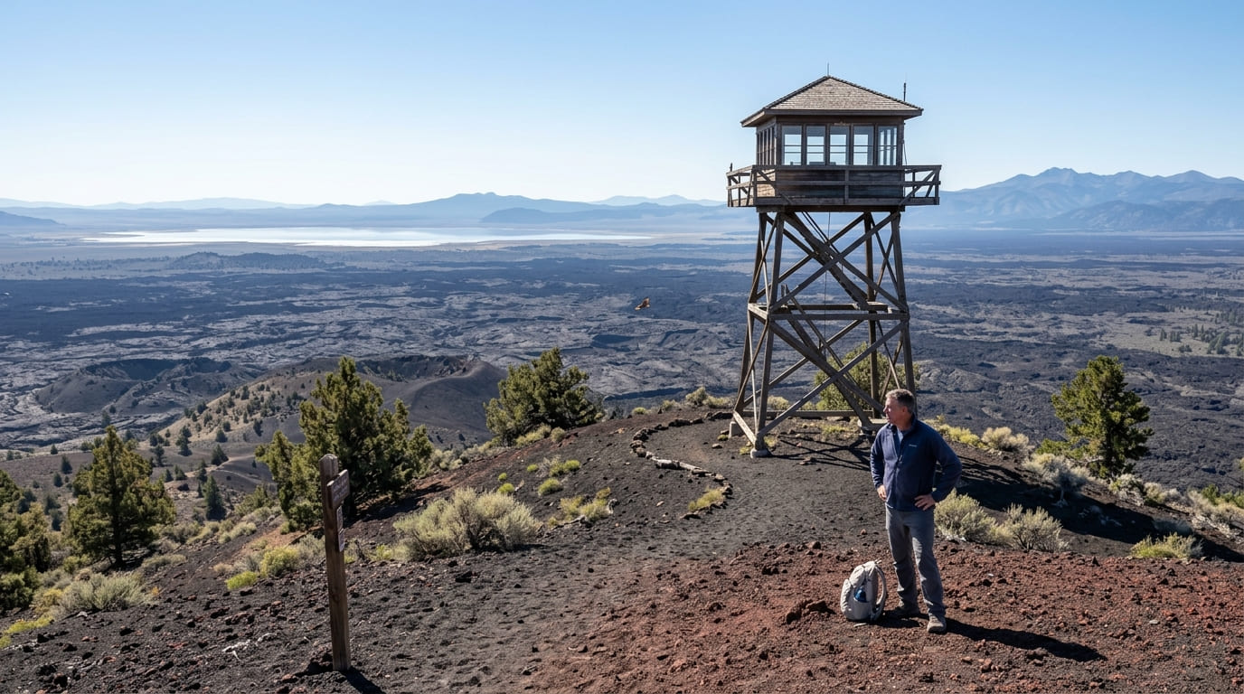
This roughly 1.5-mile round trip climbs about 500 ft to the top of a cinder cone at 5,253 ft, topped by a historic fire lookout still staffed by rangers in summer.
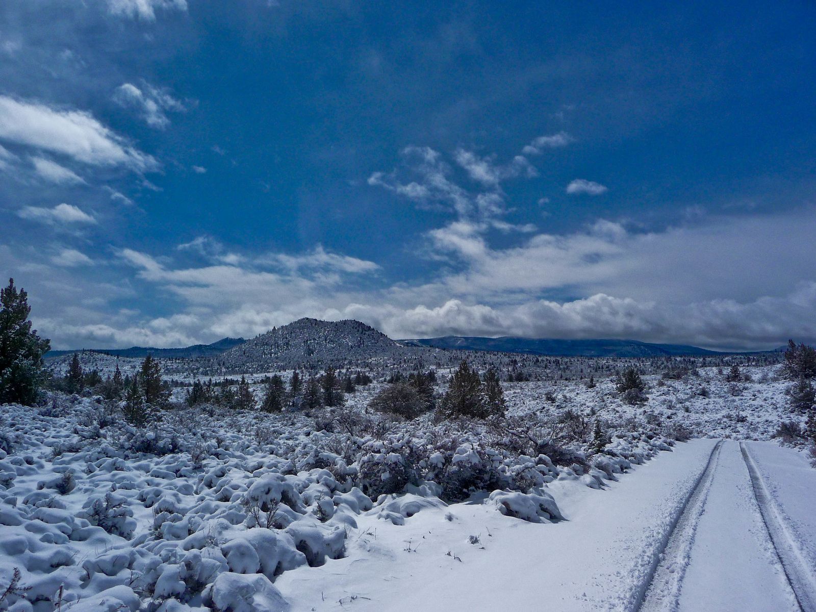
From the top, views stretch across the monument’s lava fields to Tule Lake and the distant Warner Mountains. Park entry runs $25; no separate permit is needed for the trail, and May through October is the reliable season.
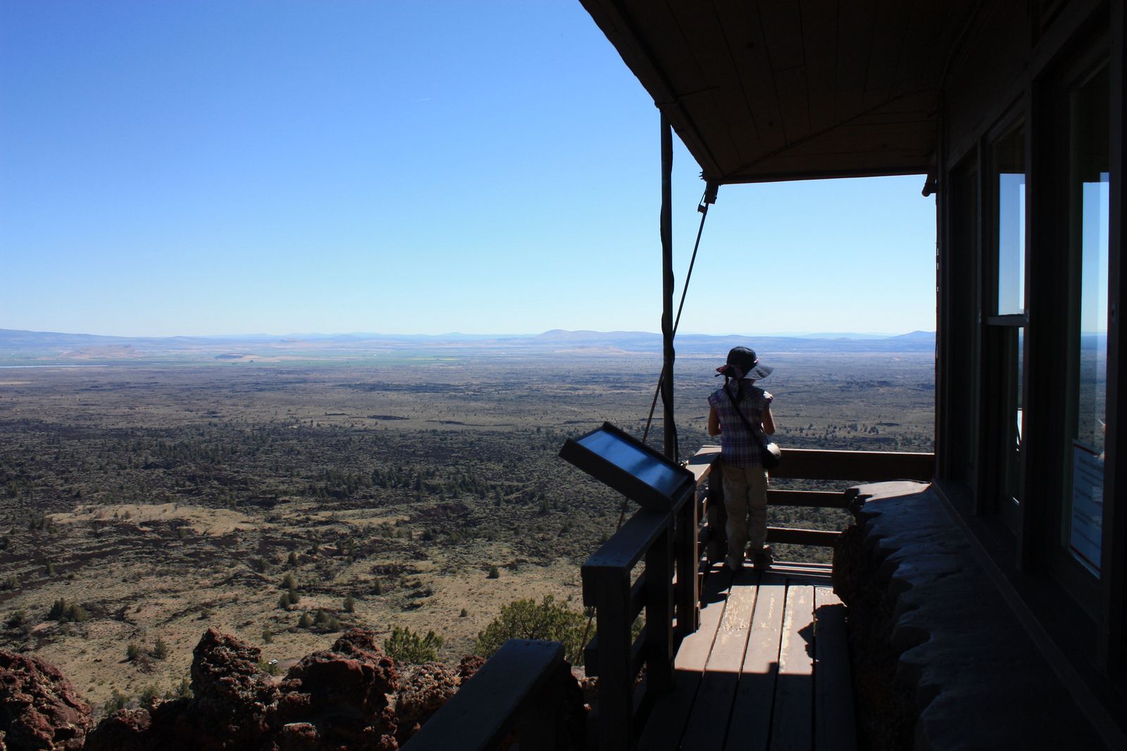
Cave Loop Trail: Lava Beds’ best self-guided lava tube experience
A short road loop connects access points to multiple lava tubes, with free lantern loans available at the visitor center for anyone without their own light source.
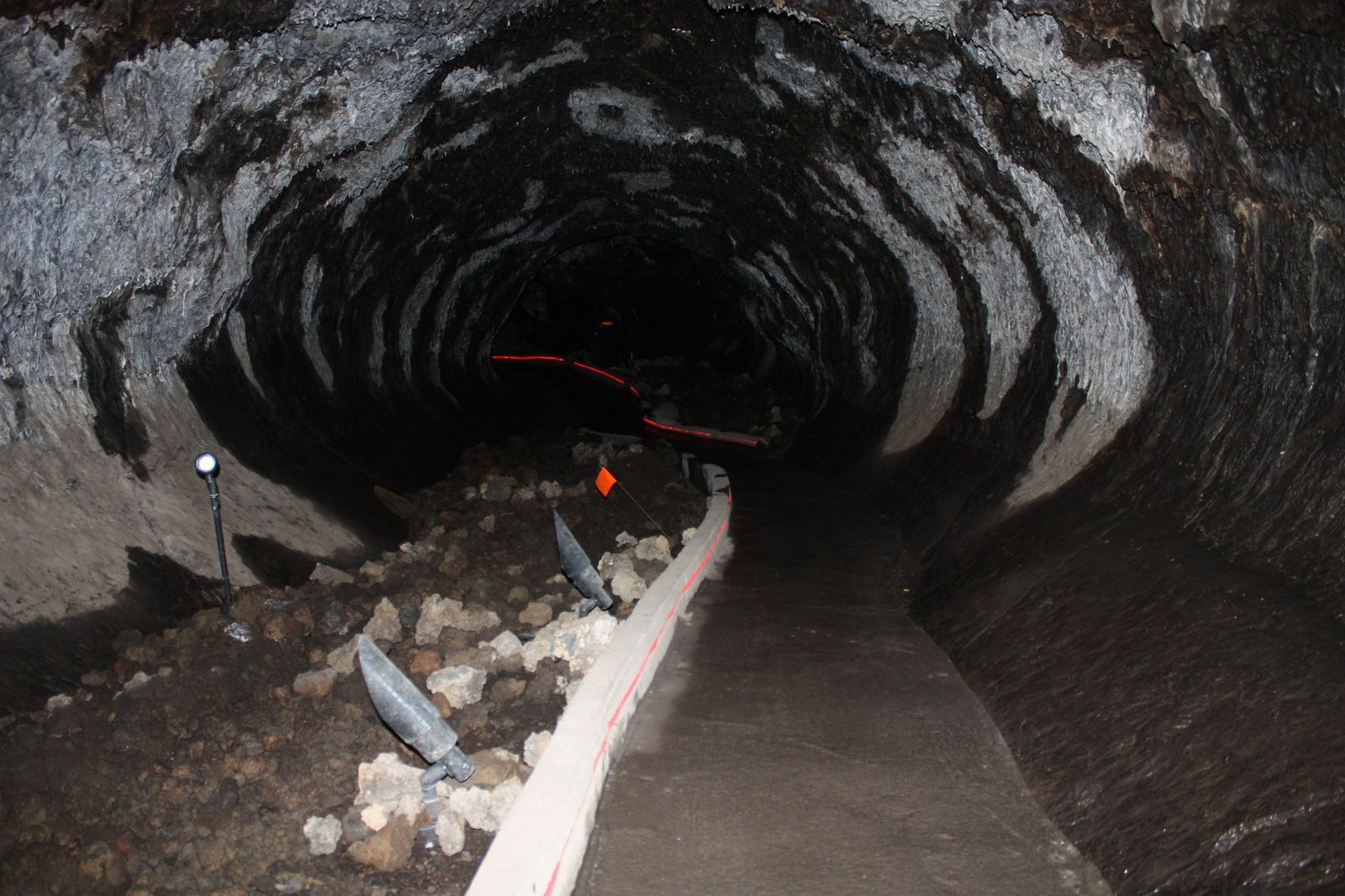
Mushpot Cave is lit and easy, a good starting point for first-timers; Catacombs Cave requires crawling through tighter passages; and Golden Dome Cave gets its name from a rare yellow bacterial formation coating part of its ceiling.
Helmets are required and available free at the visitor center, and the same $25 park entry covers the whole visit, including as many caves as you have time and curiosity for in a single day.
Best hiking trails in the South Warner Wilderness, Modoc County
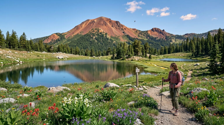
At 70,614 acres within Modoc National Forest, the South Warner Wilderness protects the Warner Mountains, the highest range in California north of the Sierra Nevada.
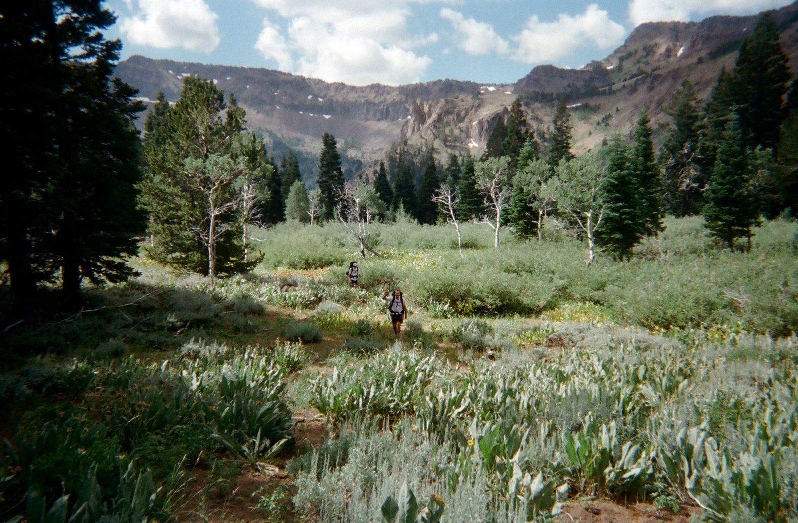
Patterson Meadow to Eagle Peak: South Warner Wilderness’ best day hike
This 8-mile round trip from the Patterson Campground trailhead climbs about 2,400 ft to Eagle Peak’s 9,892-ft summit, the highest point in Modoc County, along a ridge that offers views into Nevada’s Great Basin, Goose Lake, and distant Cascade peaks. Check our trail difficulty guide to see how that elevation gain rates before tackling the summit.
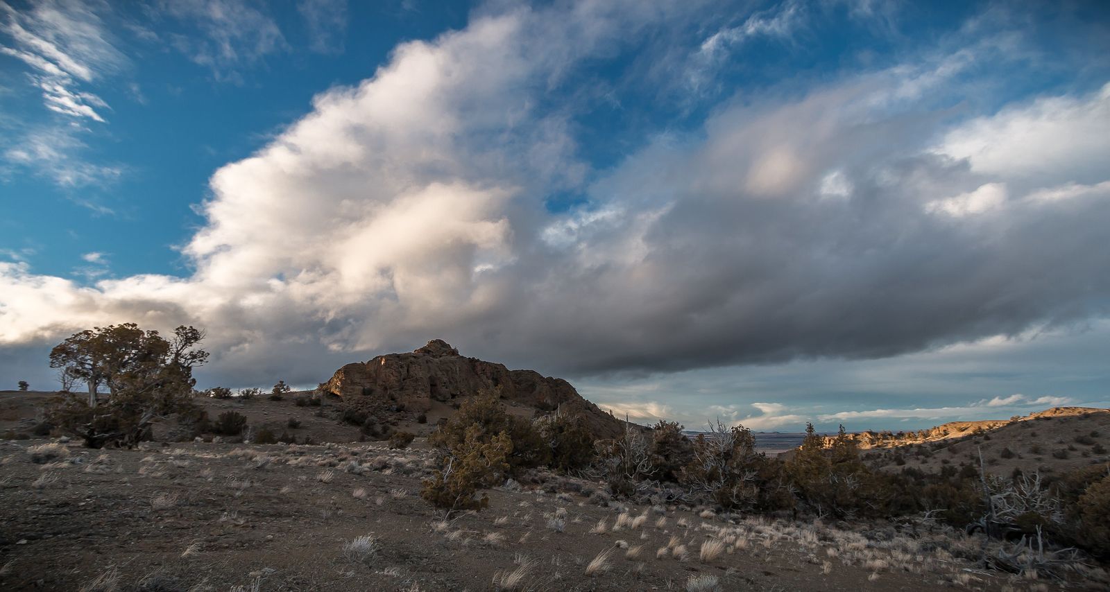
No permit is required, and the access road is typically open June through October, closed by snow the rest of the year.
Best wildlife trails at Tule Lake National Wildlife Refuge, Modoc County
At 38,000 acres near Tule Lake, this refuge is best known for two wildlife spectacles rather than a trail network in the traditional sense.
More than a million waterfowl pass through during the October–November migration, the largest such concentration in the western United States, and more than 500 bald eagles winter here, one of the biggest gatherings of the species anywhere in the lower 48.
An auto tour route combines with short walking levee trails for wildlife viewing, managed by the U.S. Fish and Wildlife Service, free, and open dawn to dusk year-round. Bring binoculars regardless of the season; the refuge rewards patience more than distance covered.
Modoc County rewards visitors willing to commit real driving time and plan around its remoteness; this isn’t a place to show up without essential hiking gear, a filled gas tank, and knowing how to read a trail map offline.
Start with Schonchin Butte or the Cave Loop at Lava Beds for an easy introduction, and build toward Eagle Peak or a winter eagle-watching trip at Tule Lake once you’ve got the logistics sorted for California’s most overlooked corner. Few places in the state reward the extra effort of getting there quite this generously.
Frequently asked questions about hiking trails in Modoc County
Is Modoc County, California worth visiting for hiking?
Yes, especially for hikers who value solitude, it’s California’s least-visited county, and Lava Beds’ cave system, the South Warner Wilderness, and Tule Lake’s bald eagle gatherings all deliver experiences with a fraction of the crowds found elsewhere in the state. The trade-off is real remoteness, so plan accordingly.
What hiking trails are in Lava Beds National Monument?
Schonchin Butte Trail is the best summit hike, and the Cave Loop Trail offers self-guided access to multiple lava tube caves, from the easy, lit Mushpot Cave to the crawling-required Catacombs Cave. Both are covered by the same $25 park entrance fee.
Can I explore lava tube caves at Lava Beds without a guide?
Yes, free lantern loans are available at the visitor center for self-guided exploration, and helmets are provided as well. No prior caving experience is required for the easier caves like Mushpot, though some others require crawling.
What is the South Warner Wilderness and how do I get there?
It’s a 70,614-acre wilderness protecting the Warner Mountains, the highest range in California north of the Sierra Nevada, reached via the Patterson Campground trailhead for the popular route to Eagle Peak. No permit is required, and the access road is typically open June through October.
When can I see bald eagles at Tule Lake National Wildlife Refuge?
Winter is the season; more than 500 bald eagles gather here, one of the largest concentrations in the lower 48. The refuge is free and open dawn to dusk year-round, with an auto tour route and short walking trails for viewing.
How remote is hiking in Modoc County, California?
Remote, this is California’s least-populated county, with long drives between trailheads, limited cell service, and few services once you’re off the main highways. Fill up on gas and download offline maps before heading out, since help isn’t nearby if something goes wrong.