
Best Wheelchair Accessible Hiking Trails in California
A trail labeled “easy” online is not the same thing as a trail that’s actually accessible, and conflating the two is how people end up stuck partway down a dirt path with no way to turn around. When searching for reliable Wheelchair Accessible Hiking Trails in CA, from coastal boardwalks to accessible Yosemite trails, you can trust that every trail on this list is paved, boardwalked, or otherwise built for wheeled mobility, verified directly against official park and land-manager sources rather than review-site labels.
Disclosure: Please note that some of the links below are affiliate links and at no additional cost to you, I may earn a commission. Know that I only recommend hiking gear I personally stand behind; when you use my affiliate links, it helps me run this blog and keep all of this content free of charge for readers (like you).
Key takeaways
- Best true summit view: Verna Dunshee Trail, Mount Tamalpais (a paved, ADA-improved loop with a 360-degree panorama).
- Best boardwalk wildlife viewing: Neary Lagoon, Santa Cruz (level footing throughout, herons and turtles visible from the path).
- Best staffed accessible loop: Ed Hastey Garden Trail, Santa Rosa & San Jacinto Mountains.
- Best paved community path: El Dorado Trail.
- Use with informed caution: General Grant Tree Trail and Bajada Nature Trail are both paved or hard-packed, but neither is officially ADA-designated for the full route. Details below.
How the 7 compare
| Trail | County | Distance | Surface | Official ADA Designation |
|---|---|---|---|---|
| General Grant Tree Trail | Fresno | ~0.3–0.5 mi loop | Paved, steep sections | No (per NPS) |
| Verna Dunshee Trail | Marin | ~0.7 mi loop | Paved | Yes, ADA-improved |
| Neary Lagoon Nature Trail | Santa Cruz | ~0.7–1 mi loop | Boardwalk + hardened path | Yes |
| Bajada Nature Trail | Riverside | ~0.25–0.3 mi loop | Hard-packed sand | No (per NPS) |
| Ed Hastey Garden Trail | Riverside | ~0.2 mi loop | Paved/concrete | Yes |
| Mono Lake Trail (Old Marina) | Mono | ~0.75 mi one-way | Boardwalk + hardened path | Yes (partial) |
| El Dorado Trail | El Dorado | 8.5+ mi (choose your distance) | Paved | Yes (Smith Flat–Missouri Flat section) |
General Grant Tree Trail, Kings Canyon National Park (Fresno County)
Why it’s accessible with caveats: a paved loop to a national landmark, not officially ADA-designated for the full route
This is worth being precise about. The General Grant Tree Trail is paved and leads to the Nation’s Christmas Tree, one of the few accessible-surface routes anywhere leading to a landmark of this stature.
But per the National Park Service’s own accessibility page for Grant Grove, the trail “has steep sections and is not designated as wheelchair-accessible” as a complete loop.
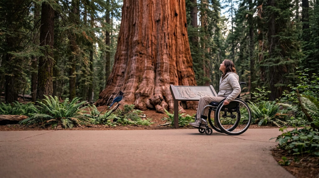
Save the Redwoods League similarly notes it’s accessible from one side of the loop but not the whole circuit. NPS photos and materials do show wheelchair users on the direct route to the tree itself.
Given that, treat this one with informed judgment: the out-and-back route to the tree from the accessible parking is manageable for many wheelchair users; completing the full loop may involve a steeper grade that’s better attempted with assistance.
Practical tips: what to know before you go
There’s one designated accessible parking space near the restrooms, plus accessible flush restrooms and drinking fountains. Tactile information panels with raised illustrations and Braille text run along the trail. Kings Canyon charges a park entrance fee; see the official NPS Grant Grove accessibility page for current details before you go.
Verna Dunshee Trail, Mount Tamalpais (Marin County)
Why it’s wheelchair-accessible: a paved summit loop with a 360-degree view
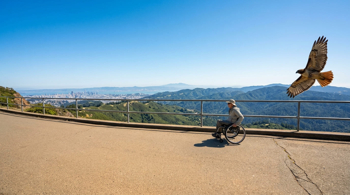
This is one of the most reliably accessible mountain-summit experiences in California: a paved, roughly 0.7-mile loop that was specifically upgraded for ADA compliance in a 2011 state parks improvement project, circling the East Peak with unobstructed views to San Francisco, the Marin Headlands, and on clear days Mount Diablo and beyond.
The disability-led organization Disabled Hikers rates it “wheelchair accessible with some caution,” citing a maximum 8% grade on a couple of short inclines, one section that narrows to 32–36 inches, and some cracked pavement, honest details worth knowing rather than a blanket “fully accessible” label.
Practical tips: what to know before you go
Parking is $8, cash only, in the paved lot at the trailhead, with four designated accessible spaces including one van-accessible space. There’s a metal guardrail along the outer, cliffside edge of the trail. Restrooms and an ADA ramp are near the trailhead. For more of the mountain, see our Marin County Mount Tamalpais trail guide.
Neary Lagoon Nature Trail (Santa Cruz County)
Why it’s wheelchair-accessible: a boardwalk through an urban wetland
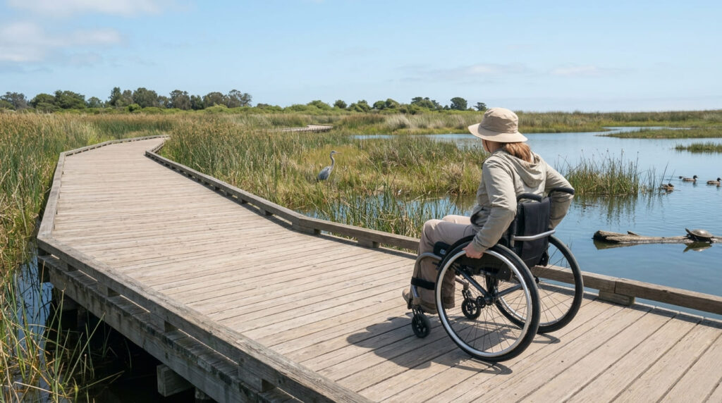
Neary Lagoon combines a hardened path with roughly a mile of floating boardwalk circling a 14-acre freshwater marsh, half a mile from downtown Santa Cruz. It’s a solid, level route with no natural-surface sections to navigate, and it doesn’t sacrifice scenery for accessibility: mallards, coots, grebes, western pond turtles, and the occasional great blue heron are frequently visible right from the boardwalk. For more easy Santa Cruz options, see our Santa Cruz County beginner trails guide.
Practical tips: what to know before you go
The most accessible entrance is at Chestnut Street. One honest caveat: the floating sections of the boardwalk can feel slightly bumpy or shift underfoot, which some visitors find disorienting, worth knowing if that’s a concern. Accessible parking, restrooms, and picnic tables are available at the Bay Street and California Street entrance.
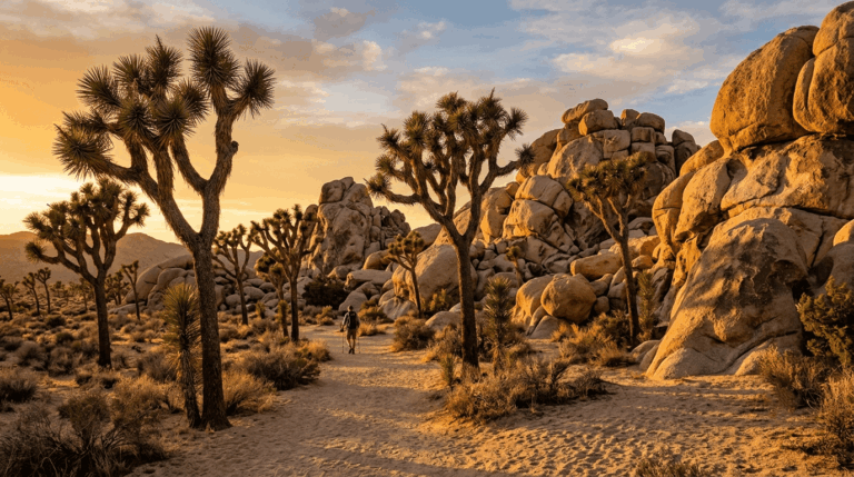
Bajada Nature Trail, Joshua Tree National Park (Riverside County)
Why it’s accessible with caveats: a self-guided desert interpretive loop, not fully paved
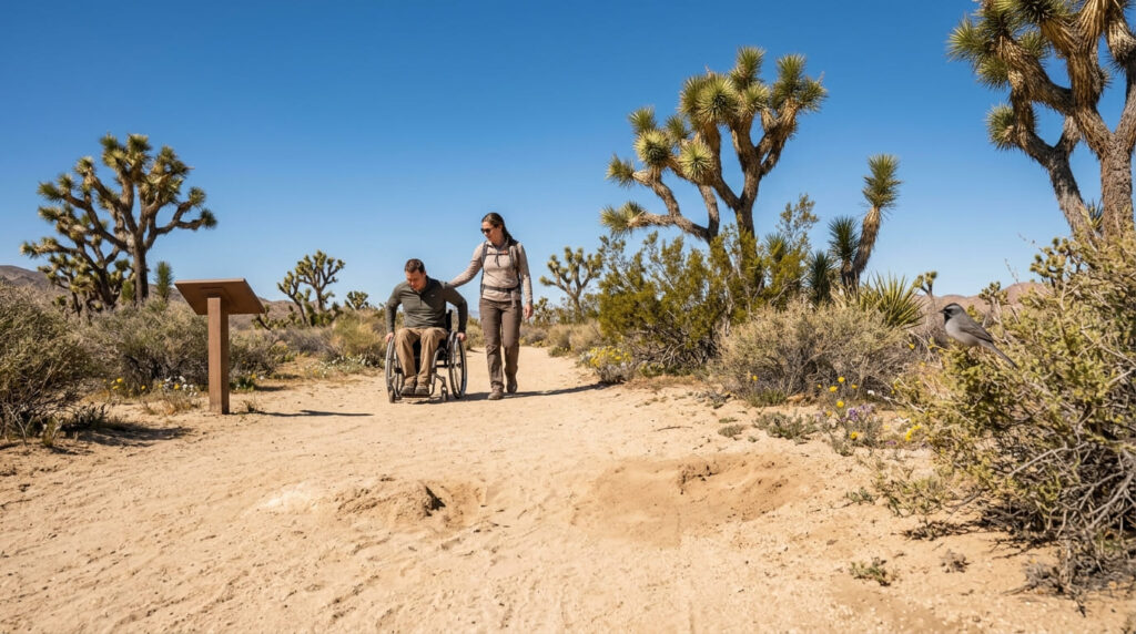
This trail is not paved. It’s hard-packed sand, and per the National Park Service’s own listing, it “has areas of deep sand and may not be suitable for all wheelchairs,” particularly motorized ones. It’s still one of only four trails Joshua Tree National Park itself lists as accessible, and manual chairs with assistance generally manage it without issue, but it’s not the flawless paved loop.
Practical tips: what to know before you go
Like most of Joshua Tree, there’s minimal shade, so a cooler-season or early-morning visit matters regardless of mobility level. There’s one standard accessible parking space at the trailhead. Note the transition from the parking ramp onto the trail can involve a level change of over an inch depending on conditions.
Ed Hastey Garden Trail, Santa Rosa & San Jacinto Mountains National Monument (Riverside County)
Why it’s wheelchair-accessible: the only trail the BLM itself designates as universally accessible at this site
Ed Hastey Garden Trail: a 0.2-mile paved, concrete path that circles the National Monument Visitor Center itself. The BLM’s own accessibility materials describe it as the only universally accessible trail at this site.
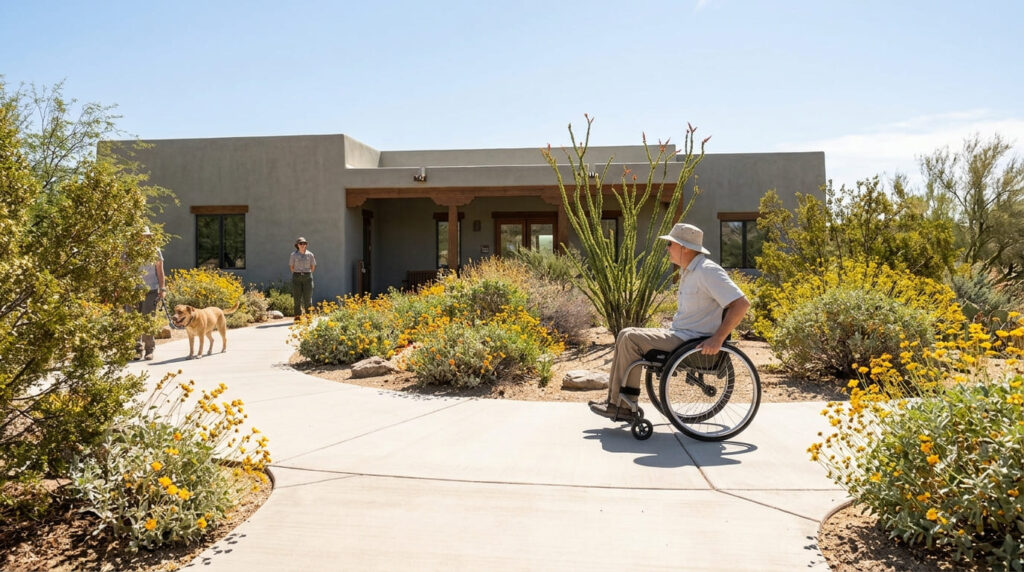
Practical tips: what to know before you go
The trail is free, and staffed rangers and interpretive volunteers are on-site at the adjacent visitor center, a level of in-person support uncommon among trails on this list. Accessible restrooms, a bottle-filling station, and low information desks are available inside. Leashed pets are welcome on this trail (unlike the Randall Henderson Trail nearby, where dogs aren’t permitted). For more of the area, see our Riverside County guide to the Santa Rosa and San Jacinto Mountains.
Mono Lake Trail, Old Marina (Mono County)
Why it’s wheelchair-accessible: a boardwalk leading directly toward the lakeshore
Mono Lake Trail at Old Marina, roughly 0.75 miles one-way from the Old Marina parking lot, with about a third of a mile of that route, including the David Gaines Boardwalk, rated accessible by California State Parks.
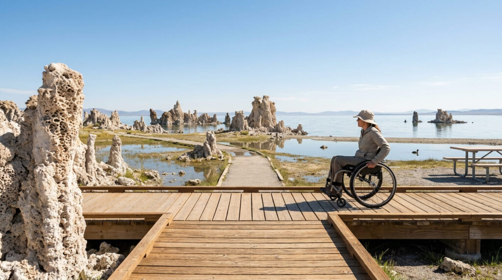
Solid footing through wetland and tufa formations to near the lakeshore, without the uneven natural terrain of the South Tufa area. Our Mono County guide to hiking near Mono Lake covers both Old Marina and South Tufa in more depth.
Practical tips: what to know before you go
There’s an accessible picnic table at the trailhead, with accessible parking and restrooms nearby. Note that South Tufa’s own interpretive trail is only accessible for its first quarter-mile; beyond that point, the surface may be difficult for some wheelchair users. Check California State Parks’ official accessible features page for Mono Lake for current closures before you go.
El Dorado Trail (El Dorado County)
Why it’s wheelchair-accessible: a paved community path built for a wide range of mobility levels
El Dorado Trail, a paved Class I path stretching 8.5-plus miles through Placerville and Camino, with the Smith Flat and Missouri Flat Road sections specifically confirmed ADA-accessible by the county’s own tourism office. Unlike a natural trail retrofitted for accessibility, this one was built paved from the outset.
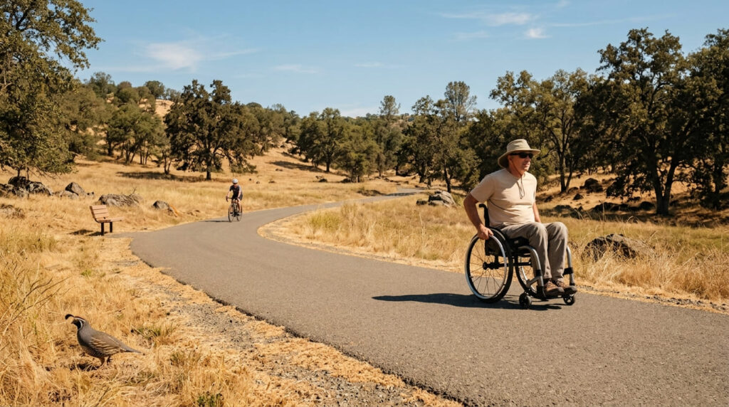
Practical tips: what to know before you go
Because the trail connects several neighborhoods and parks, you can choose a short out-and-back or a much longer route depending on your stamina and time. For more family-friendly options nearby, see our El Dorado County family-friendly trails guide.
Planning your visit
Accessibility labels vary sharply between land management agencies. If your trip includes a national park, our guide to the difference between California State Parks and National Parks for hikers covers where to find each agency’s own accessibility documentation. And if flat, low-effort trails are the priority for other reasons, our guide to California’s best easy and scenic trails for seniors overlaps with several picks on this list.
My recommendation
If you want zero ambiguity, start with Verna Dunshee, Neary Lagoon, or the Ed Hastey Garden Trail; all three are unambiguously, officially accessible with no caveats attached. Save General Grant Tree and Bajada for when you have a companion who can assist on the tougher sections, and always check the official source before a Mono Lake trip, since fire and storm damage can close wheelchair accessible hiking trails in California with little warning.
Frequently asked questions about wheelchair accessible hiking trails in California
How do you find accessible hiking trails?
Go to the official source, the park or land manager’s own accessibility page, rather than relying on “easy” ratings from trail apps. As this guide shows, third-party labels and official ADA designations don’t always agree.
How many wheelchair-accessible hiking trails are in California?
There’s no single statewide count, since accessibility is assessed park by park and agency by agency. Joshua Tree National Park alone lists only four trails as accessible out of dozens in the park, which gives a sense of how limited accessibility still is even within one park.
What makes a trail truly wheelchair-accessible?
A firm, stable, slip-resistant surface (pavement, concrete, or well-built boardwalk), a running grade generally under 8.33%, adequate width, and official designation by the land manager, not just a description as “flat” or “easy.”
Are boardwalk trails better than paved trails for wheelchairs?
Not necessarily better, just different. Boardwalks can cross wetland terrain pavement can’t reach, but floating sections may shift or feel bumpy. Paved trails are generally more predictable underfoot but can still have steep grades, as the General Grant Tree Trail shows.
Do national parks have accessible trail guides?
Yes, and they’re worth checking directly. Most national parks publish detailed accessibility pages listing trail surfaces, grades, and designations.
Are accessible trails also good for strollers?
Generally yes. The surface and grade requirements largely overlap, though a trail’s official wheelchair designation is still the more rigorous standard to check first.
superb post well done to you
Thank you so much! I really appreciate the kind words.