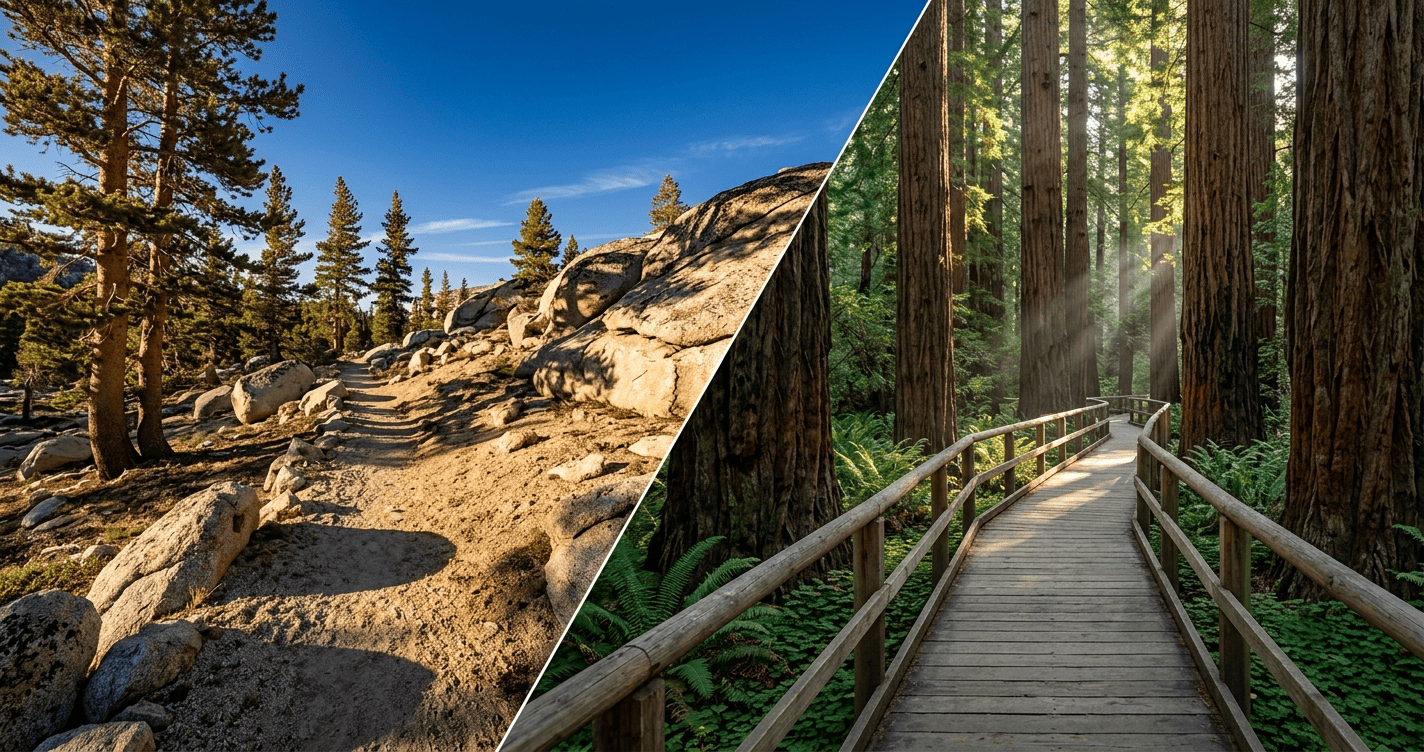
Types of Hiking Trails in California: Foot Trails, Nature Trails, Boardwalks & More
California doesn’t hand you one type of hiking trail; it hands you at least seven, and mixing them up is the fastest way to end up with an entirely wrong day. Show up expecting a quiet nature loop, and you might land on a paved path shared with cyclists doing intervals. Pack for an easy afternoon, and you might find yourself on a primitive route with no signage past the trailhead. I’ve spent four-plus years logging trail miles and cataloguing how NPS, USFS, and California State Parks classify their trails, and here’s the short version: the type of trail tells you more about your actual day than the difficulty rating ever will.
Disclosure: Please note that some of the links below are affiliate links and at no additional cost to you, I may earn a commission. Know that I only recommend hiking gear I personally stand behind; when you use my affiliate links, it helps me run this blog and keep all of this content free of charge for readers (like you).
Key takeaways:
- Seven core types cover almost everything: foot trails, nature trails, boardwalks, paved multi-use paths, backcountry/primitive trails, long-distance thru-trails, and ADA-accessible routes.
- Classification isn’t universal. NPS, USFS, and California State Parks each label the same kind of trail slightly differently.
- Surface and audience matter more than mileage. A 2 mi nature trail and a 2 mi foot trail can feel like entirely different hikes.
- Permits attach to trail type, not just difficulty. Backcountry and thru-trails almost always need one; nature trails and paved paths almost never do. Book permits on Recreation.gov.
- My rule: match trail type to your goal first, difficulty second. Get the type wrong and the difficulty rating won’t save you.
How are hiking trails officially classified in California?
Every trail you’ve hiked in this state started as a line on an agency’s planning map, and that classification decides almost everything downstream: tread width, surface, whether bikes or horses are allowed, how it gets maintained. Learn to read the classification, not just the trail name, and you’ll stop getting surprised at the trailhead.
Who decides trail classifications? NPS, USFS, and California State Parks
Three agencies manage most of California’s trail mileage, each running its own system. The National Park Service (NPS) classifies trails inside parks like Yosemite and Sequoia by intended use and accessibility tier. The U.S. Forest Service (USFS) uses a Trail Class System, numbered 1 (minimal, primitive) through 5 (fully developed, often paved). California State Parks leans on plain-language labels, “nature trail,” “hiking trail”, right on trailhead signage. None of the three maps perfectly overlap with each other, which is why the same trail can read “easy” on one map and “moderate” on another.
Official trail designations vs. informal trail names: what’s the difference?
A designated trail is logged in an agency’s official inventory and shows up on the agency’s own map, not just on AllTrails. An informal or “social” trail is one hikers wear in themselves, usually by cutting a switchback, and it exists on no official map. Social trails aren’t safer for being well-worn, and using them accelerates erosion badly enough to get a whole hillside closed. If it’s not on the agency map, treat it as off-limits.
Foot trails: the most common trail type in California
What is a foot trail, and where will you find them in California?
A foot trail is a natural-surface path built and maintained for walking only, no bikes, no stock animals, no wheels, typically 18 to 36 in wide and routed along a slope’s contour to control erosion. It’s the trail type most people picture when they hear “hiking trail,” and it makes up the bulk of singletrack across the Sierra Nevada, the Angeles National Forest, and most of California’s frontcountry parks.
Surface types on California foot trails: dirt, rock, gravel, and decomposed granite
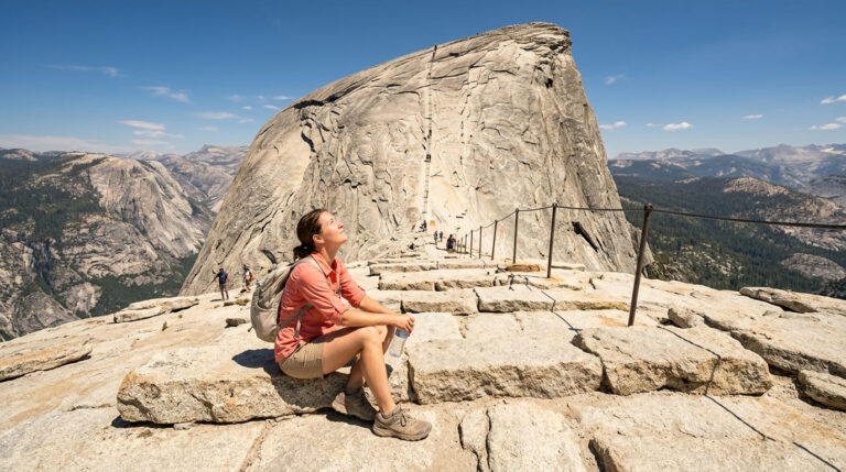
Surface changes the hike more than most people expect. Decomposed granite, the loose, sandy-gravel tread common across the Sierra Nevada, grips fine when dry but turns slick when wet or worn smooth. Redwood-forest foot trails run on packed dirt and roots; desert foot trails run on rock and hardpan with almost no shade. The granite slabs on Half Dome’s subdome approach are my go-to example of surface mattering more than mileage: barely 1.5 mi from the cables to the summit, yet wet granite there causes more falls than longer, steeper trails elsewhere. Check the difficulty ratings guide before committing to real elevation gain; surface and grade both factor into that rating.
Nature trails: short, educational, and family-friendly
What makes a trail a nature trail? Signage, length, and design
A nature trail is a short, interpretive loop, almost always under 2 mi, often under 1, built around numbered posts or signage tied to a self-guided brochure or app. The intent is education first, exercise second, so elevation gain stays minimal almost by definition. Don’t mistake “easy” for “boring”: some of the best wildlife-viewing in California happens on nature trails, not the longer foot trails next to them.
Best nature trails in California for beginners and families
If you’re taking a first-timer or a family with young kids, start here:
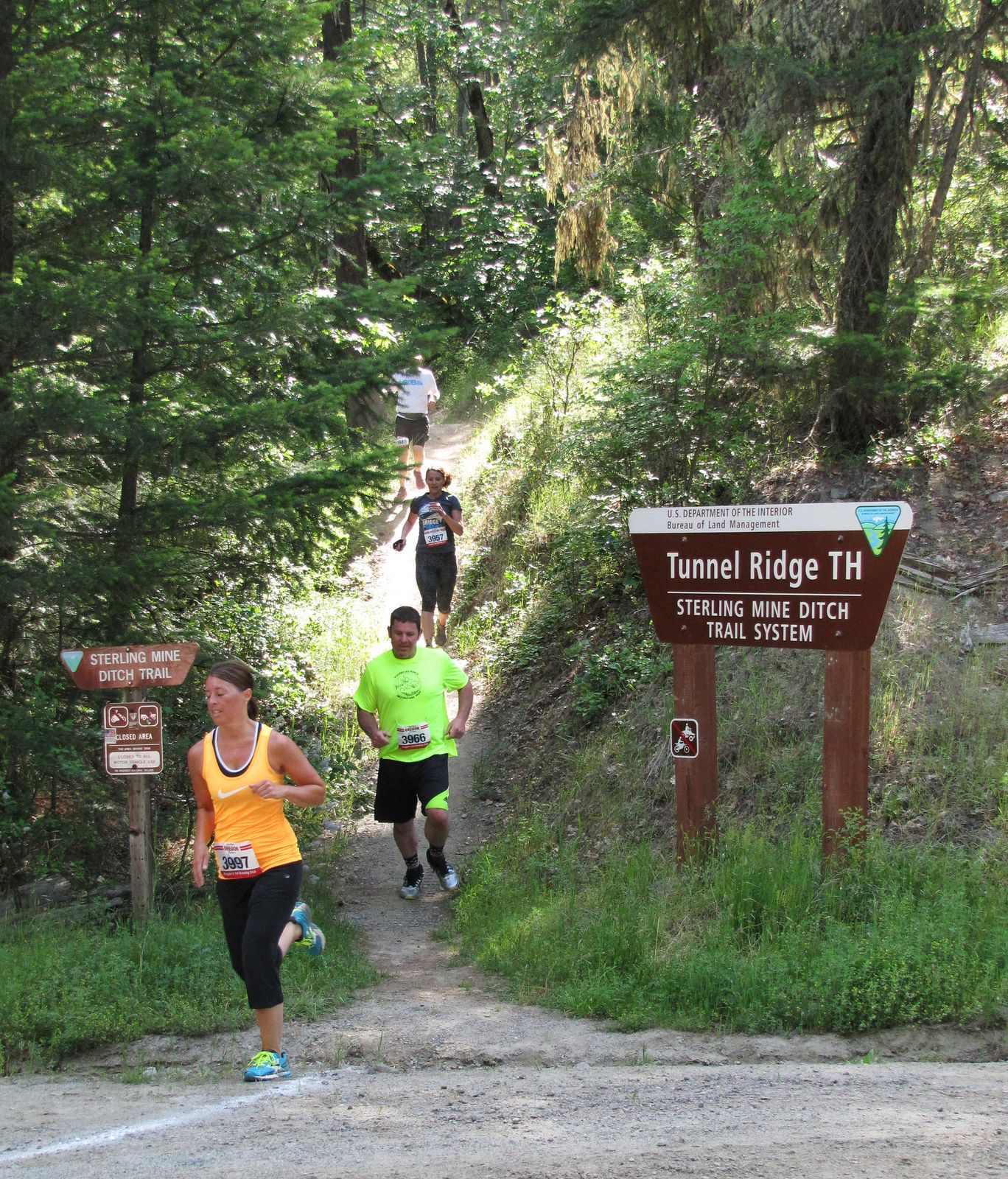
- Trail of 100 Giants (Giant Sequoia National Monument) a flat, 0.5 mi paved loop through massive sequoias, essentially no elevation gain.
- Pfeiffer Falls Nature Trail (Pfeiffer Big Sur State Park) about 2 mi round-trip with a waterfall payoff, manageable for most kids over six.
- Any state park’s nature centre loop check California State Parks’ site by park name; nearly every major unit has one.
Boardwalks and elevated trails: wetlands, marshes, and coastlines
Why California uses boardwalks: protecting fragile ecosystems on the trail
A boardwalk trail is raised decking, wood or composite, built to keep foot traffic off ground that can’t take it: redwood roots, wetland hydrology, dune vegetation, pupfish and shorebird habitat. Remove it, and repeated foot traffic compacts soil, kills roots, and braids a healthy marsh edge into unofficial paths within a couple of seasons. A “stay on the boardwalk” sign isn’t a suggestion; it’s protecting something that took decades to establish.
Notable boardwalk trails in California: coast, forest, and wetland
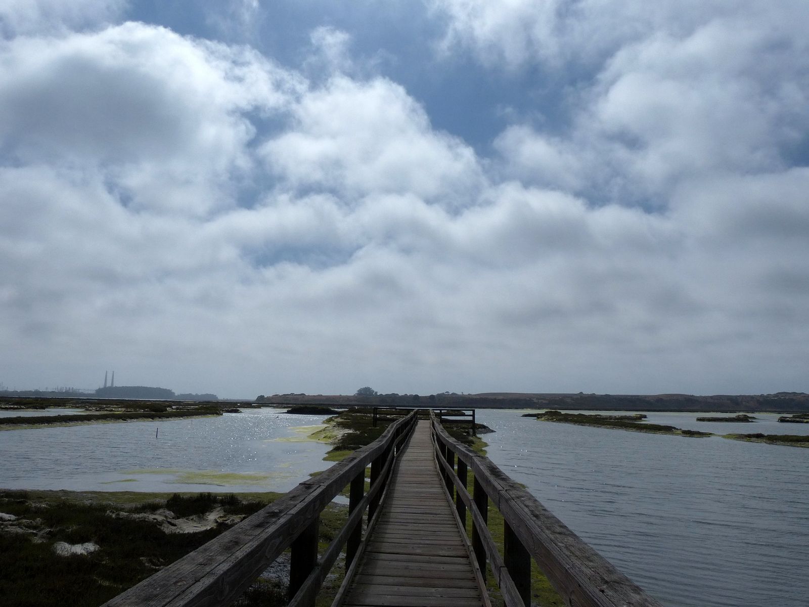
- Muir Woods National Monument: the main loop mixes paved path and boardwalk through old-growth redwoods; it’s one of the most crowded trails in the state by midmorning, so go at opening time.
- Bolsa Chica Ecological Reserve (Huntington Beach) boardwalk and levee trails through coastal wetlands, strong for shorebird viewing.
- Elkhorn Slough National Estuarine Research Reserve (Moss Landing) boardwalk sections over one of the state’s most intact estuaries, sea otters frequently visible from the trail.
Paved multi-use paths: where hiking, cycling, and recreation overlap
Are paved trails real hiking trails? What counts as hiking
Yes, and I’d push back on anyone who tells a beginner otherwise. A paved multi-use path still gets you moving outdoors, still climbs real elevation, and for anyone managing a joint issue or easing back into activity, it’s often the smarter start than a rutted foot trail. Runyon Canyon in Los Angeles is the clearest example: a paved-and-dirt climb with real views and real cardio, shared by hikers, runners, and dog walkers. These trails also have the most overlap with ADA-accessible routes.
Paved trail etiquette: who has the right of way?
Cyclists generally yield to pedestrians and call “on your left” before passing, but don’t assume everyone follows that rule, so stay predictable and keep dogs leashed and close. This is one of the few trail types where you’re sharing tread with wheels moving faster than you. The full breakdown, right of way, group hiking, dog rules, and lives in our trail etiquette guide.
Backcountry and primitive trails: off the beaten path in California
What is a primitive trail, and how do you stay safe on one?
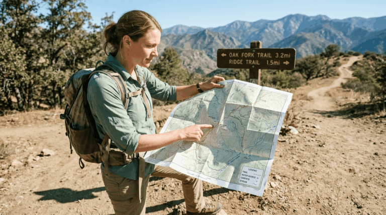
A primitive trail is minimally maintained or unmaintained, with cairns instead of signage, brush uncleared for a season or two, and tread that can vanish entirely at a creek crossing. These trails demand real navigation skill, not just an app open on your phone, since cell signal and clear waypoints tend to disappear exactly where you’d want them most. Carry a paper map or offline GPS track as backup, always, and read our hiking safety guide before your first trip on one. Our navigation hazards guide covers getting-lost prevention in depth.
Wilderness permits and regulations for backcountry trails in California
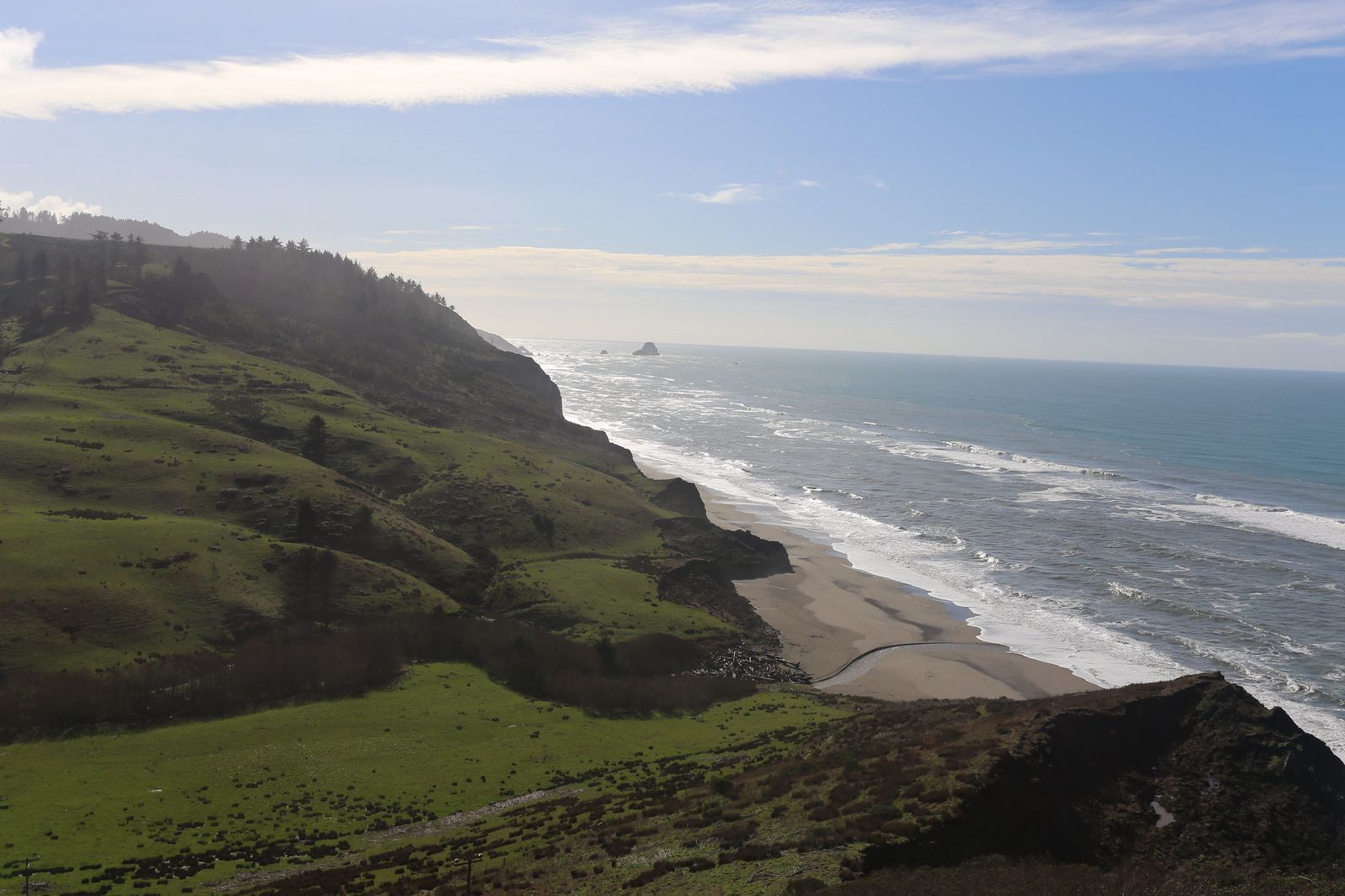
Nearly every backcountry and primitive trail here sits inside a designated wilderness area, so overnight use requires a wilderness permit. The Lost Coast Trail (BLM’s King Range National Conservation Area), Yosemite’s backcountry zones, and most John Muir Wilderness routes all work this way. Permits carry a small reservation fee and a seasonal quota booked through Recreation.gov. As of July 2026, that quota-lottery structure still governs peak-season Sierra permits, but windows shift yearly, so confirm current dates directly on Recreation.gov.
Long-distance and thru-trails: California’s multi-day routes
What makes a trail a thru-trail? Distance, waypoints, and continuous routes
A thru-trail is a continuous, multi-day route built around resupply points rather than a single trailhead loop; you’re hiking through a corridor of connected trail, not just a trail. Day-hiking a short segment usually needs no permit; camping overnight along most corridors does, even on a stretch that would otherwise feel like an ordinary day hike.
California’s most famous long-distance trails: the PCT, the JMT, and beyond
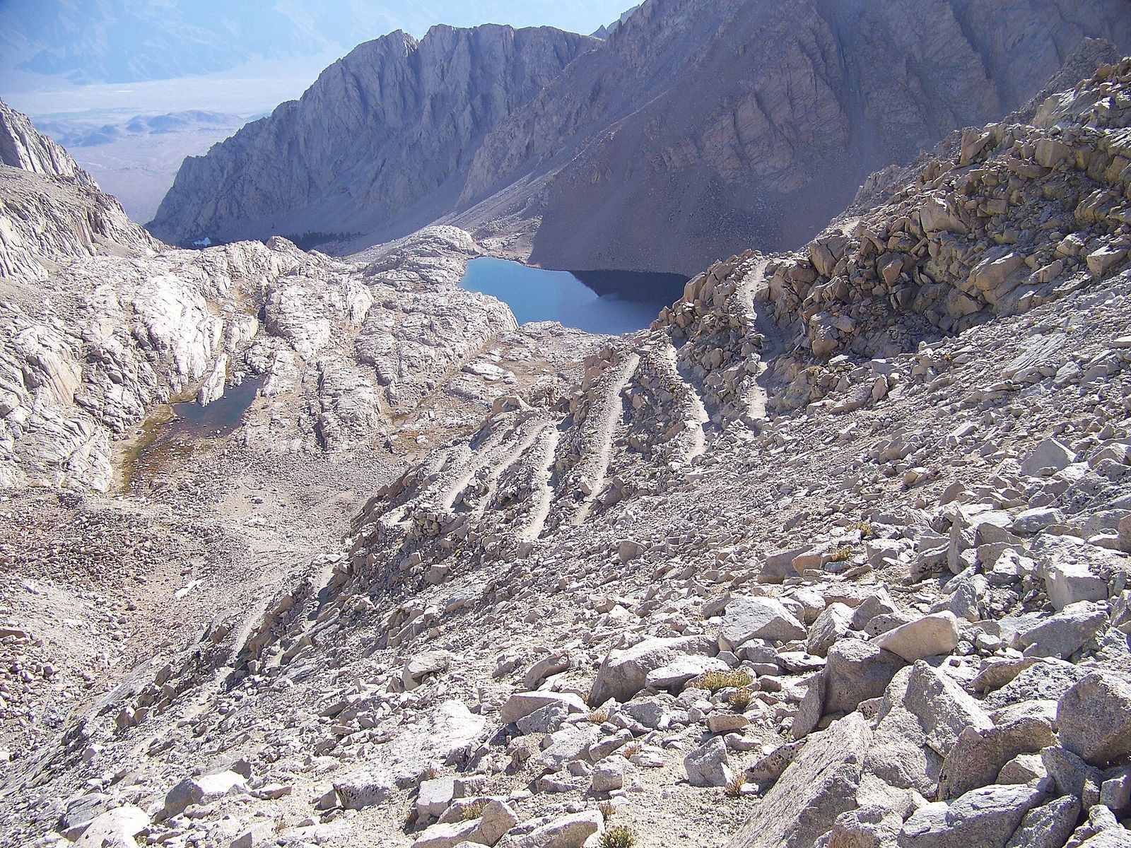
- Pacific Crest Trail (PCT) roughly 1,700 of its 2,650+ total miles run through California, border to border.
- John Muir Trail (JMT) about 211 mi from Yosemite Valley to the summit of Mount Whitney, largely overlapping the PCT’s Sierra section.
- Bay Area Ridge Trail is a planned 550 mi loop ringing the San Francisco Bay; as of 2026, roughly 400 mi are open, with new segments dedicated most years, so check the Bay Area Ridge Trail Council’s current map before assuming a nearby stretch connects all the way through.
Accessible trails: ADA-compliant and wheelchair-friendly routes in California
What makes a trail ADA-accessible? Grades, surfaces, and rest areas
An ADA-accessible trail is built to a specific standard: a firm, stable surface (not loose gravel or sand), a running grade that stays low, generally at or under 5%, with only short exceptions at steeper pitches and regular resting intervals with a level landing. That’s not “flat and easy” in the casual sense; it’s an engineered standard aimed at wheelchair users, strollers, and anyone with mobility limits. We cover this topic fully in our accessible hiking trails guide.
Best accessible trails in California, by region
- Muir Woods Main Trail loop (North Bay): the boardwalk-and-paved section near the entrance meets accessible standards, though the full loop climbs beyond that.
- Yosemite Valley’s paved path system (Sierra Nevada) connects major valley viewpoints on a flat, hard-surfaced trail.
- Effie Yeaw Nature Centre trails (Sacramento) are a flat, accessible nature-trail network along the American River.
Choosing the right trail type for your hiking goals
Every trail type above solves a different problem. Pick the type first, the specific trail second.
Trail type comparison: length, difficulty, surface, and use case
| Trail type | Typical length | Difficulty range | Surface | Best for |
|---|---|---|---|---|
| Foot trail | 1–15+ mi | Easy–strenuous | Dirt, rock, decomposed granite | Classic day hikes; most CA trail mileage |
| Nature trail | 0.25–2 mi | Easy | Packed dirt, gravel, sometimes paved | Families, first-timers, quick loops |
| Boardwalk | 0.25–3 mi | Easy | Raised wood or composite decking | Wetlands, redwoods, fragile ground |
| Paved multi-use path | 1–20+ mi | Easy–moderate | Asphalt or concrete | Shared use with cyclists, urban access |
| Backcountry / primitive | 3–30+ mi | Moderate–strenuous | Unmaintained dirt, scree, unmarked | Solitude, navigation practice, permitted trips |
| Long-distance / thru-trail | 50–1,700+ mi | Strenuous | Mixed by segment | Multi-day and thru-hiking goals |
| ADA-accessible | 0.25–2 mi | Easy | Firm, stable, graded ≤5% typical | Wheelchair users, strollers, mobility limits |
How to use AllTrails and NPS sites to filter by trail type
AllTrails‘ “route type” filter (loop, out-and-back, point-to-point) narrows the format, but you’ll still need the trail description for surface and accessibility; the app doesn’t reliably flag “boardwalk” or “ADA” on its own. NPS.gov’s park pages are more precise for accessibility and backcountry designations, and Recreation.gov is where any permit requirement shows up. My rule: use AllTrails to find candidates, then confirm type and permit status on the managing agency’s own site before committing a whole day to it.
If you’re still working out what actually counts as a hiking trail, our beginner’s guide to hiking trails covers that groundwork. Once you’ve matched a trail type to your goal, the next question is almost always difficulty, and that’s what we break down next in the hiking difficulty levels guide.
Frequently asked questions about California’s hiking trail types
What’s the difference between a nature trail and a regular hiking trail?
A nature trail is short and interpretive, built around signage or a numbered guide; a foot trail is longer, natural-surface, and built for distance and elevation, not education.
Does walking on a paved trail count as hiking?
Yes. Elevation gain, distance, and time on your feet outdoors make something a hike; surface material doesn’t disqualify it, and paved trails like Runyon Canyon deliver a real workout.
Do I need a permit for backcountry hiking in California?
For overnight stays in most wilderness areas, yes, book through Recreation.gov, often against a seasonal quota. Day hikes usually don’t require one, but confirm on the managing agency’s site first.
What’s the easiest type of trail to start with?
Nature trails and ADA-accessible paths are the gentlest entry points, short distance, minimal elevation gain, and stable surface.
Is the Bay Area Ridge Trail fully open yet?
Not yet. As of 2026, roughly 400 of the planned 550 mi loop are open, with new segments dedicated most years. Check the Bay Area Ridge Trail Council’s current map before assuming a nearby stretch connects through.