7 Best Out-and-Back Hikes in California: Turn Around Anytime
An out-and-back trail solves a specific problem: you don’t have to commit to a full day’s mileage before you’ve seen how your legs, your weather, or your permit luck are holding up. Every trail below has a real, built-in decision point, a bridge, a lower lake, a lower falls, where you can turn around with a complete day behind you, or keep pushing toward something bigger.
Disclosure: Please note that some of the links below are affiliate links and at no additional cost to you, I may earn a commission. Know that I only recommend hiking gear I personally stand behind; when you use my affiliate links, it helps me run this blog and keep all of this content free of charge for readers (like you).
That’s a different pitch than our multi-day backpacking loops or our John Muir Trail guide: those trips reward committing to a route in advance. These seven Best Out-and-Back Hikes reward flexibility, and every one of them is doable in a single day.
Key Takeaways
- Half Dome via the Cables: the subdome steps are your natural go/no-go point before the cables themselves, and you’ll need a permit either way.
- Mist Trail to Vernal and Nevada Falls: two clean turnaround options, Vernal Fall footbridge for a short day, Nevada Fall for the full one.
- Eagle Falls to Eagle Lake: one of the shortest ways into Desolation Wilderness scenery, undercut by brutal trailhead parking.
- Mount Whitney Trail: the highest point in the Lower 48, reachable as an extremely demanding single-day push.
- Cathedral Lakes Trail: Lower Cathedral Lake as the easy stop, Upper Cathedral Lake for the committed.
- Escondido Falls Trail: currently affected by post-wildfire closures; verify status before you plan around it.
- Lake Sabrina to Blue Lake Trail: a high-elevation alpine hike with measurable search demand behind it.
Half Dome via the Cables (Yosemite National Park)
Why it’s a great out-and-back: a built-in turnaround point at the cables
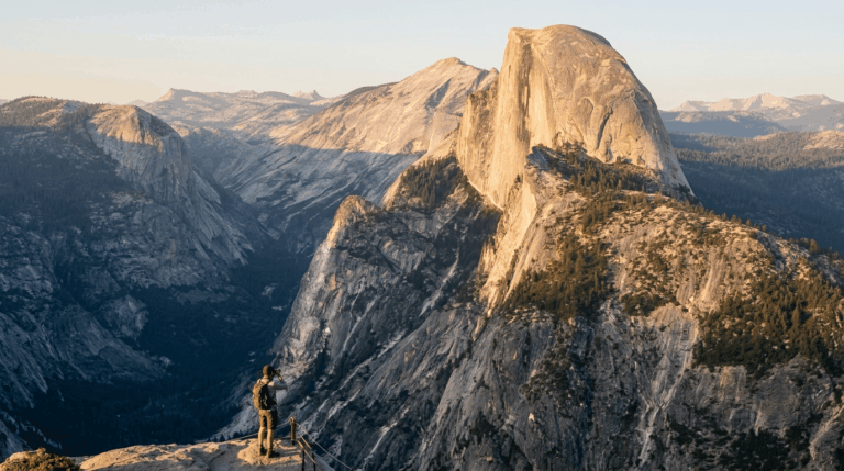
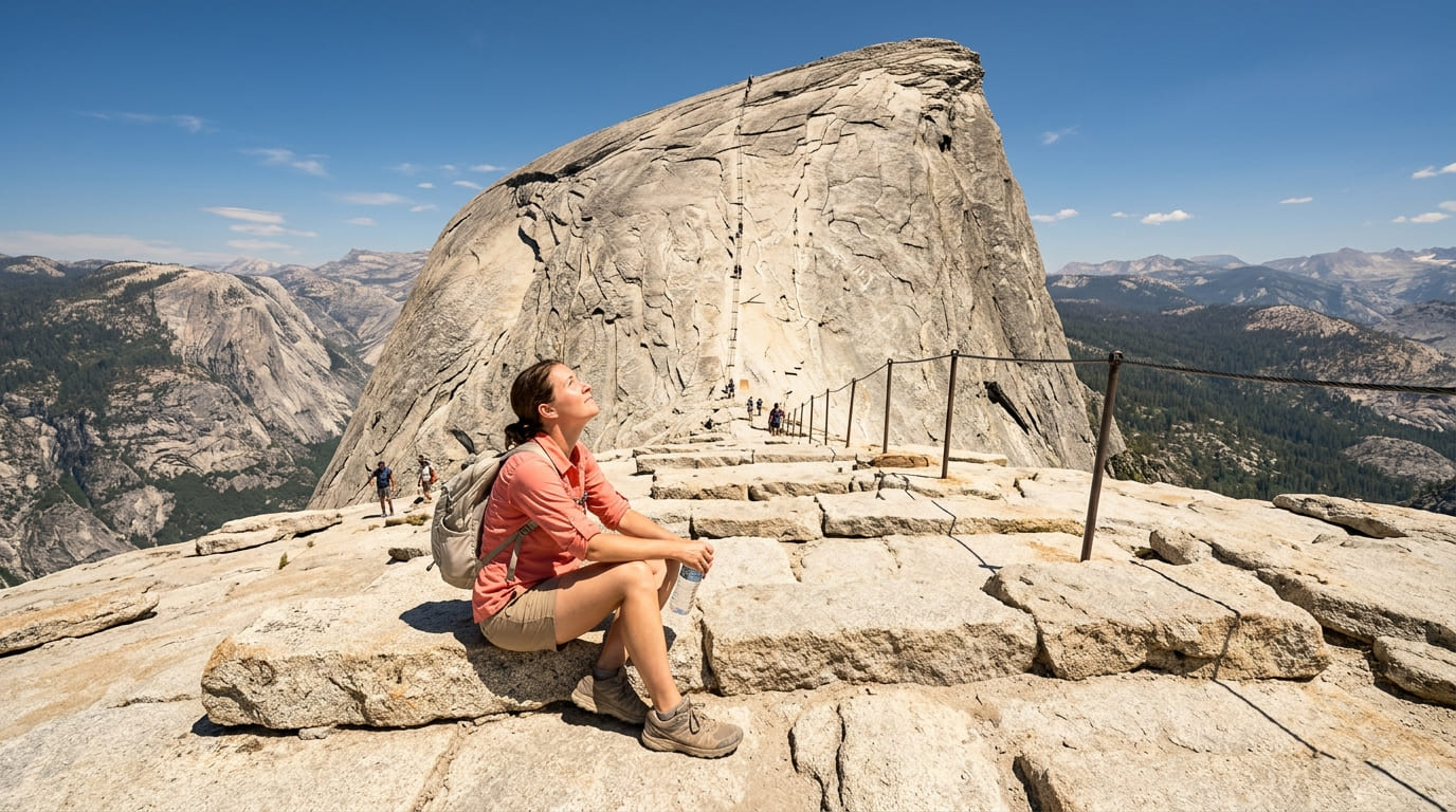
The subdome’s granite steps are the trail’s natural decision point; you can turn back there with a full, 14-mile day behind you, or continue up the cables to the summit if conditions, energy, and your permit all line up.
It’s one of the hardest day hikes in the National Park System, and I wouldn’t sugarcoat that: roughly 14-16 miles round trip with about 4,800 feet of elevation gain.
Practical tips
Every hiker beyond the subdome steps needs a permit whenever the cables are up, typically late May through mid-October, weather dependent.
Yosemite allows 300 hikers per day (225 day hikers, 75 backpackers), split between a preseason lottery (March 1-31, results mid-April) and a daily lottery (apply two days ahead, midnight to 4 p.m. Pacific).
Our permits guide and bucket-list guide both cover this lottery in more depth; read one of them before you assume a permit will be there when you want it.
Mist Trail to Vernal and Nevada Falls (Yosemite National Park)
Why it’s a great out-and-back: flexible turnaround at Vernal Fall or Nevada Fall
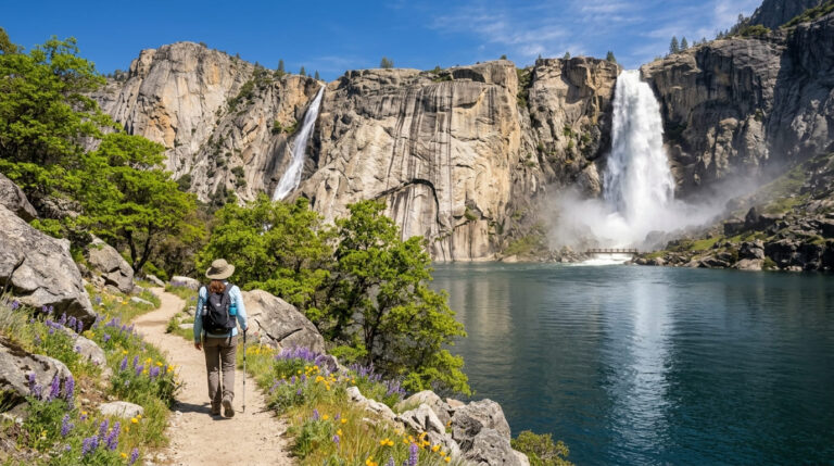
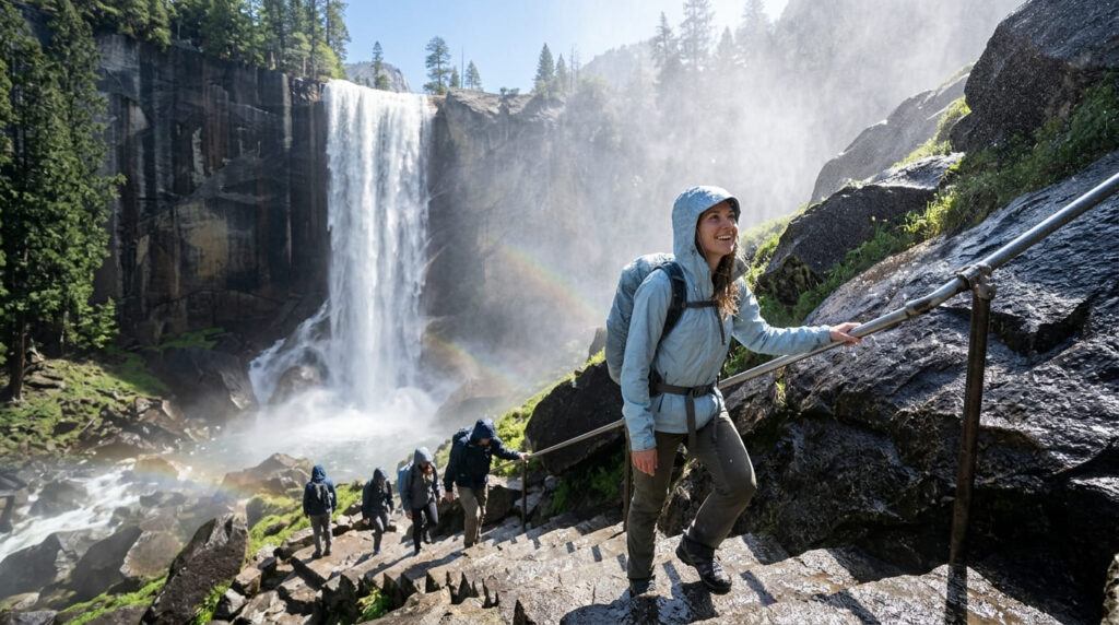
The Vernal Fall footbridge gives you an easy 1.6-mile round trip with waterfall views; the top of Vernal Fall (2.4 miles round trip) ups the commitment with over 600 granite steps; the top of Nevada Fall (5.4 miles round trip) is the full, strenuous version. Nobody has to decide which one they’re doing until they’re already on the trail.
Practical tips
As of the 2026 season, the upper section of the Mist Trail (from the JMT junction to the top of Vernal Fall) is closed for repairs Monday through Thursday, 7 a.m. to 3:30 p.m., from late June through October, open Fridays, weekends, and holidays, plus most weeknights outside that window.
The John Muir Trail detour covers you on closed days. Wet granite steps are the hazard here regardless of the closure schedule; our bucket-list guide covers the Mist Trail’s slip risk in more depth.
Eagle Falls to Eagle Lake (El Dorado County)
Why it’s a great out-and-back: one of the shortest ways to reach true Desolation Wilderness scenery
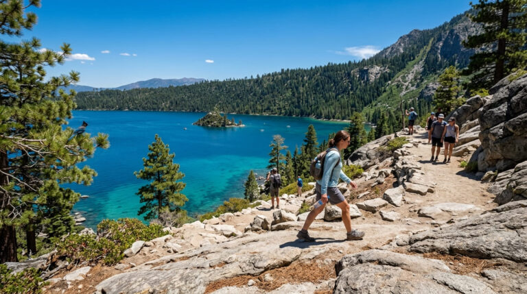
At about 2 miles round trip to Eagle Lake (or a shorter turnaround at Upper Eagle Falls alone), this is one of the fastest ways to get Desolation Wilderness alpine scenery without a wilderness-permit-quota fight, granite basin and lake views packed into a couple of hours.
Practical tips
The trailhead’s severe parking capacity is the obstacle here, not the trail itself; the lot is small, fills by mid-morning on summer weekends, and costs $5 per vehicle for the day.
A free, self-issue day-use wilderness permit is required past Upper Eagle Falls to continue to Eagle Lake, available at the trailhead kiosk. Arrive early or expect to park well down Highway 89 and walk in.
Mount Whitney Trail (Inyo County)
Why it’s a great out-and-back: the highest point in the contiguous US, reachable in a single long day
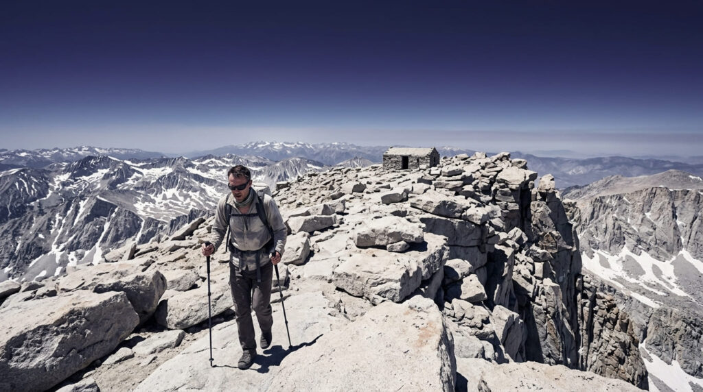
At 14,505 feet, Whitney is doable as an extremely demanding single-day out-and-back for well-prepared, permitted hikers, about 22 miles round trip with roughly 6,100 feet of elevation gain, typically 12-16 hours car to car.
Most people who attempt it as a day hike spend months training specifically for the altitude, not just the mileage.
Practical tips
The day-use lottery runs February 1 to March 1 on the Mount Whitney Permit Page on Recreation.gov (results around March 15, claim by April 21), covering the quota season from May 1 through November 1, with a daily cap of 100 day-use permits and 60 overnight permits.
There are no walk-up permits during quota season. Our bucket-list guide covers the oversubscribed lottery odds in more depth; outside quota season (November-April), a free self-issued permit still applies, just without the competition.
Cathedral Lakes Trail (Tuolumne Meadows, Tuolumne County)
Why it’s a great out-and-back: a clear lower and upper lake turnaround structure
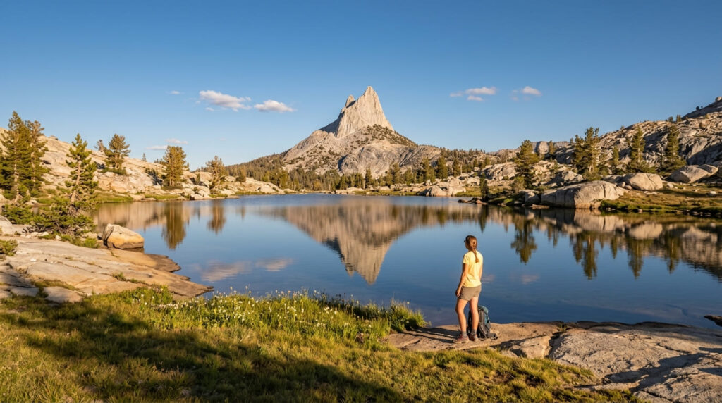
Lower Cathedral Lake sits a short spur off the main trail, roughly 7 miles round trip total; Upper Cathedral Lake, in a granite bowl beneath Cathedral Peak itself, is the fuller push past that junction. Both are standalone destinations worth visiting on their own merit.
Practical tips
No permit is needed for a day hike here (only overnight trips require Yosemite’s wilderness permit system). The entire trip depends on Tioga Road being open, which typically runs late May through October or early November depending on snowpack. In 2026, the road opened May 15, ahead of the long-term average.
Check current road status before you drive up; a closed Tioga Road means no access at all, permit or not.
Escondido Falls Trail (Los Angeles County)
Why it’s a great out-and-back: an easy lower-falls option with a harder upper-falls extension
When flowing, Escondido Falls is one of the most striking waterfalls in the Santa Monica Mountains, an easy, family-friendly approach to the 50-foot lower tier, with a steeper, unofficial scramble beyond it toward the 150-foot upper falls that most guides (and the managing agency) actively discourage.
Practical tips
Note: Escondido Canyon Park has been affected by closures tied to the January 2025 Palisades Fire, and as of mid-2026, its access status has been unsettled; some tracking sources still list it as temporarily closed, while a separate, ongoing dispute between the City of Malibu and the managing agency (MRCA) over trail management adds another layer of uncertainty.
Check the MRCA’s official Escondido Canyon Park page the same day you plan to go, not the week before. The falls are also entirely rain-dependent; see our post-rain waterfall trails guide for timing once access is confirmed.
Lake Sabrina to Blue Lake Trail (Bishop Creek Canyon, Inyo County)
Why it’s a great out-and-back: a high Sierra alpine lake hike with search demand
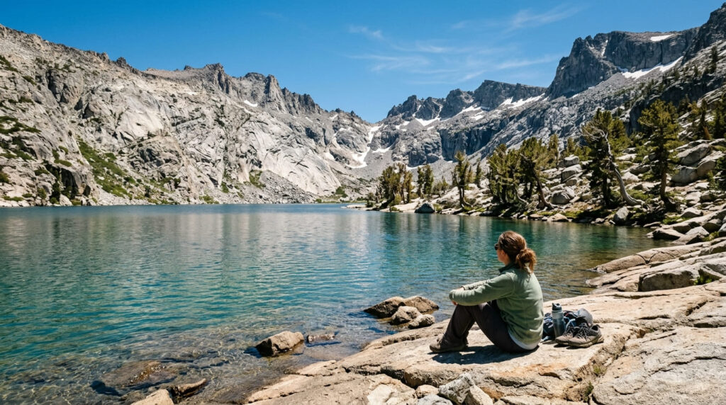
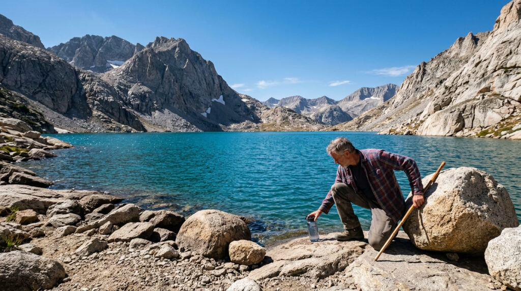
At roughly 6 miles round trip with about 1,400-1,850 feet of gain (sources vary slightly by exact endpoint), this is an alpine hike most day-trippers can complete in half a day, turquoise water, granite peaks, and measurable search interest (5,000/mo for “blue lake trail”) that most trails on smaller-county pages of this site don’t come close to.
Practical tips
The trailhead itself sits above 9,050 feet, so altitude is a consideration even for hikers used to lower-elevation trails elsewhere in Inyo County; don’t underestimate it just because the mileage looks modest.
Day use requires no permit and has no daily quota limit. Only overnight stays require a standard wilderness permit, which is subject to a 25-person daily trailhead cap from May 1 through November 1. Parking at the trailhead itself is extremely limited; arrive early or expect to park beyond the dam and walk in.
Out-and-Backs at a Glance
| Trail | County | Approx. Distance | Permit Needed? |
|---|---|---|---|
| Half Dome via the Cables | Mariposa | ~14-16 mi | Yes, competitive lottery |
| Mist Trail to Vernal/Nevada Falls | Mariposa | 1.6-5.4 mi (choose your turnaround) | No (day use) |
| Eagle Falls to Eagle Lake | El Dorado | ~2 mi | Free self-issue, at trailhead |
| Mount Whitney Trail | Inyo | ~22 mi | Yes, highly competitive lottery |
| Cathedral Lakes Trail | Tuolumne | ~7 mi | No (day use) |
| Escondido Falls Trail | Los Angeles | ~3.5-4 mi | No, but verify current access status first |
| Lake Sabrina to Blue Lake Trail | Inyo | ~6 mi | No (day use) |
Pick your turnaround before you start, not after you’re tired; that’s the advantage of every trail on this list. If a permit or a closure gets in your way, most of these have a worthwhile shorter version sitting right there on the same trail, not a consolation prize.
Frequently Asked Questions About California’s Best Out-and-Back Trails for a Single Day Adventure
What is an out-and-back trail?
An out-and-back trail follows the same path in both directions; you hike in to a destination, then retrace your steps back to the same trailhead, rather than continuing on a loop or requiring a shuttle to a different exit point.
Are out-and-back trails easier than loop trails?
Not necessarily easier in terms of difficulty, but often easier to plan: no shuttle, no second car, and you can turn around at any point without needing to know the rest of the route in advance.
Can you turn around early on an out-and-back trail?
Yes, and that flexibility is the entire appeal. Every trail on this list has at least one clear, worthwhile stopping point well short of the full destination, so a shorter day never feels like a failed one.
Do out-and-back trails feel repetitive on the return?
Some hikers find this true, especially on trails without much elevation change. In practice, most of these seven look different heading downhill; waterfalls, lake views, and granite scenery tend to read differently in the opposite light and direction.
What is the advantage of an out-and-back over a shuttle hike?
No logistics beyond parking. You don’t need to coordinate a pickup, leave a second car at a different trailhead, or time your finish around someone else’s schedule; you’re done when you’re back at your own car.
Which of these out-and-back trails is best for beginners?
Cathedral Lakes Trail and the Vernal Fall footbridge portion of the Mist Trail are both approachable for less experienced hikers, with clear, low-commitment turnaround points and no permit required for a day trip.