
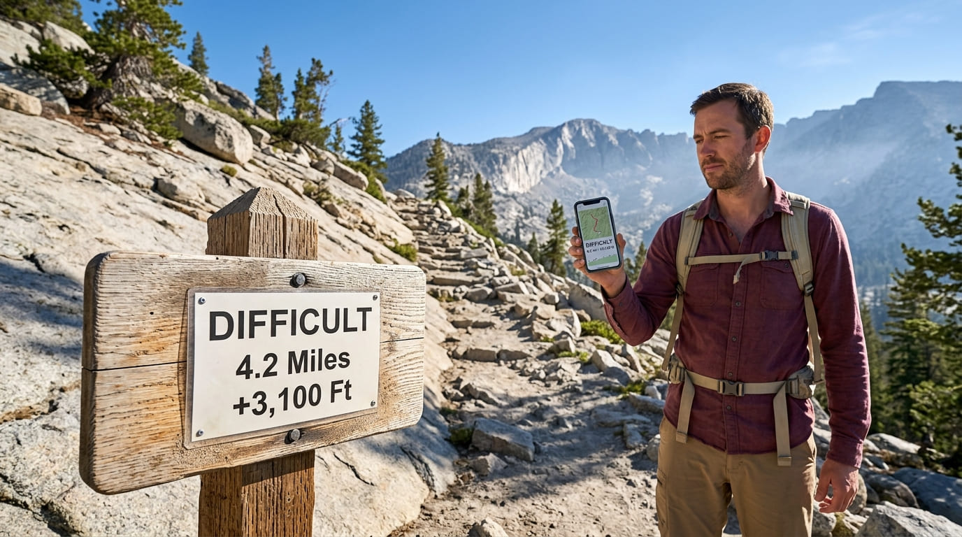
AllTrails vs. NPS: How to Read a CA Trail Difficulty Rating
AllTrails rates the standard route up Half Dome as “Hard”, not even its highest tier. The National Park Service’s own page for the same trail spends several paragraphs on cable-section fatalities, weather-dependent go/no-go rules, and a permit lottery that exists specifically because the risk is real. Neither source is wrong. They’re just measuring different things, and if you’ve ever wondered why a Hiking Trail Difficulty rating seems to shift depending on which app or website you check, that gap is exactly why.
Disclosure: Please note that some of the links below are affiliate links and at no additional cost to you, I may earn a commission. Know that I only recommend hiking gear I personally stand behind; when you use my affiliate links, it helps me run this blog and keep all of this content free of charge for readers (like you).
This guide breaks down how AllTrails calculates its ratings, how the National Park Service approaches difficulty (it’s less unified than you’d think), and what factors determine how hard a trail feels, regardless of which label ends up on it.
Key takeaways:
- AllTrails uses an algorithm as a starting point, not a final word; distance and elevation gain set a baseline rating, which is then adjusted by the AllTrails team and shifted over time by user consensus.
- There’s no single “NPS difficulty system”; individual parks set their own methodology, and while most rely on ranger-written descriptions, at least one (Shenandoah) publishes an actual numerical formula.
- The same trail can show different ratings because the systems weigh different things; an algorithm built on distance and elevation gain doesn’t inherently account for exposure, technical terrain, or altitude the way a ranger’s written description does.
- Distance and elevation gain are the most comparable factors across systems, but exposure, altitude, and terrain type are where ratings diverge.
- When in doubt, read past the number; the label is a starting point; the trail description underneath it usually tells you more.
| System | Format | Based on |
|---|---|---|
| AllTrails | 4 tiers: Easy, Moderate, Hard, Strenuous | Algorithm (distance + elevation gain) + team/user adjustment |
| Shenandoah NP (example) | 5 tiers: Easiest to Very Strenuous | Numerical formula: elevation gain × 2 × distance, square-rooted |
| Most other NPS units | Prose description, sometimes no formal tier | Ranger assessment of hazards, exposure, terrain |
| Guidebooks (general) | Easy/Moderate/Difficult | Distance and elevation gain thresholds, varies by author |
How AllTrails calculates difficulty
The algorithm behind Easy, Moderate, Hard, and Strenuous
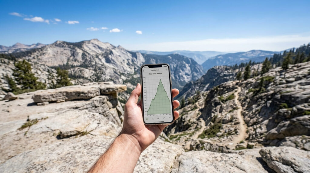
AllTrails currently uses four difficulty tiers, Easy, Moderate, Hard, and Strenuous, and the starting point for each trail’s rating is an equation based primarily on distance and elevation gain.
From there, the AllTrails team can adjust the baseline for trail features like scrambles, rock fields, uneven terrain, or sections that require orienteering skill. Community input plays a role too: hikers can rate a trail’s difficulty after completing it, and enough consistent feedback can shift a listing over time.
That’s a more nuanced process than “just an algorithm,” but the core input, distance and elevation gain, is still doing most of the work. It’s a useful starting filter for browsing trails, just not a complete picture of what you’ll encounter.
Why AllTrails ratings can feel inconsistent
Because the baseline calculation leans so heavily on distance and elevation gain, two very different trails can land in the same bucket. A flat but very long trail and a short, brutally steep trail can both come out “Moderate” despite feeling nothing alike underfoot.
The reverse happens too: a short trail with a technical scramble near the end can get bumped up to “Hard” or “Strenuous” almost entirely because of one difficult section, even though the bulk of the hike is easy walking.
If a rating ever seems to not match your experience on a trail you know well, this is usually why: the algorithm is measuring the trail’s shape, not necessarily its hardest single moment.
How the National Park Service rates trail difficulty
NPS doesn’t have one unified system
Here’s a common misconception worth correcting directly: there is no single, national NPS difficulty-rating system. Individual parks set their own methodology, and it varies.
Most parks lean on descriptive, ranger-written prose, calling out specific hazards, altitude, or exposure in plain language rather than reducing a trail to a single tier. But Shenandoah National Park publishes its own formula: elevation gain multiplied by two, multiplied by distance in miles, with the square root of that result mapped to one of five tiers from “Easiest” to “Very Strenuous.”
Even Shenandoah’s own page admits the formula is imperfect: a short, steep trail can score in the “Easiest” range mathematically while feeling “Moderate” underfoot, which is essentially the same blind spot AllTrails’ algorithm has.
Why NPS descriptions are often more conservative
Where NPS trail pages do differ meaningfully from an algorithmic rating is tone and depth. A park ranger writing a trail description has direct knowledge of rescue frequency, fatality history, and seasonal hazards specific to that trail, and that tends to produce more cautious, safety-first language than a crowdsourced app rating does.
This isn’t NPS being overly dramatic; it reflects liability and search-and-rescue data that a distance-and-elevation formula simply doesn’t have access to.
Why the same trail can show different ratings on different platforms
Half Dome, covered in our Yosemite hiking guide, is the clearest example of this gap. AllTrails rates the standard route via Little Yosemite Valley as “Hard”, a 7.1-mile hike (measured one-way) with 2,667 feet of elevation gain, a profile that reads as demanding but not extreme.
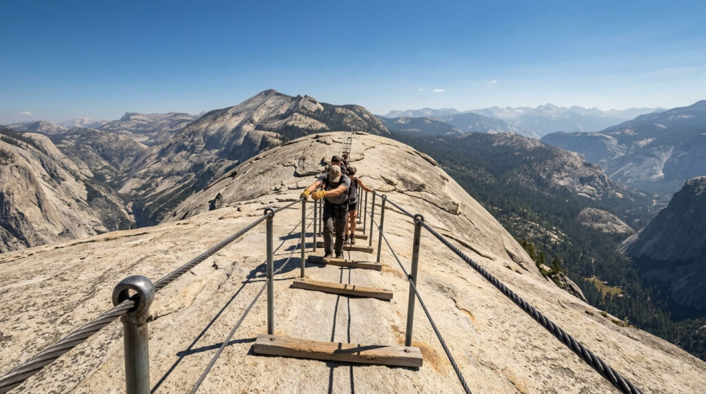
What that rating doesn’t fully convey is the final 400 feet: two steel cables at a 45–55 degree grade, climbed hand-over-hand with no rock-climbing equipment.
NPS’s own page for Half Dome treats this section with real weight: gloves recommended, a hard rule against climbing when the rock is wet, a permit lottery specifically because of overcrowding and risk, and a documented history of falls.
That’s the kind of detail an algorithm measuring distance and elevation simply doesn’t capture, however accurate its baseline number is.
Contrast that with Cactus to Clouds near our Palm Springs trail guide, which shows up as “Strenuous”, AllTrails’ top tier, and is described almost everywhere else, from Backpacker Magazine to independent trail guides, as one of the hardest day hikes in the country.
In that case, the systems agree; there’s no real discrepancy to untangle. The pattern that matters isn’t “AllTrails is wrong” or “NPS is right”; it’s that ratings diverge most when a trail’s danger comes from one concentrated, technical section rather than from its overall length or elevation profile.
What determines a trail’s real difficulty
Distance and elevation gain
These are the two most commonly cited, and most comparable, factors across virtually every difficulty system, including AllTrails’ own algorithm and Shenandoah’s formula.
As a rough general guideline that several guidebook authors converge on: trails under about 5 miles with less than 700–800 feet of gain tend to read as easy; 5–10 miles with up to roughly 2,000 feet of gain lands in moderate territory; beyond that, most systems start calling a hike difficult or strenuous.
Treat these as a starting filter, not a guarantee; they’re the baseline every algorithm builds from precisely because they’re the easiest factors to measure consistently.
Exposure, altitude, and terrain type
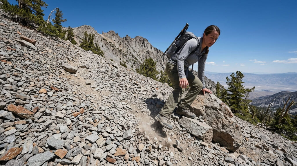
This is where the harder-to-quantify factors live, and where algorithms consistently fall short. Altitude is a physiological factor, not just a feeling; above 10,000 feet, roughly three-quarters of people experience at least mild altitude sickness symptoms, regardless of how fit or experienced they are.
Exposure (a fall consequence on a narrow ledge or scramble), loose scree, and technical terrain that requires route-finding or hand-over-hand movement all change how a trail feels in ways that a distance-and-elevation number doesn’t reflect.
This is exactly the kind of detail worth reading for in a trail’s written description, not just its headline rating, and it’s why county-level trail guides that call out specific hazards explicitly, like exposure sections in our Eastern Sierra high-altitude trail guide or the elevation profile around the trails around Mount Whitney, are worth reading past the difficulty tag itself.
Frequently asked questions about how to read a California trail difficulty rating
How hard is hiking the Appalachian Trail?
The Appalachian Trail isn’t technically extreme in the way a scramble or exposed ridge is; its difficulty comes from cumulative distance and duration, at roughly 2,190 miles and typically four to seven months to thru-hike. The numbers reflect that: the Appalachian Trail Conservancy reports a completion rate of roughly one in four attempted thru-hikes, with most people who don’t finish stopping for reasons like injury, cost, or time rather than any single dangerous section.
What is a difficulty rating on a hiking trail?
A difficulty rating is a shorthand label, usually easy, moderate, hard, or some similar tier, meant to give hikers a quick sense of what a trail demands before they commit to it. The label itself is a summary, built from some combination of distance, elevation gain, and terrain factors, and it’s worth remembering that it’s an approximation rather than a guarantee of exactly what you’ll experience.
What makes a hiking trail difficult?
Distance and elevation gain are the baseline factors nearly every system starts from, but real difficulty also comes from exposure, altitude, technical terrain like scrambles or loose scree, and how well-maintained or marked the trail is. Two trails with identical mileage and elevation gain can feel completely different depending on these harder-to-quantify factors, which is exactly why relying on a single number can be misleading.
Is moderate harder than easy on AllTrails?
Yes, AllTrails’ four tiers run in order from Easy to Moderate to Hard to Strenuous, with each step generally involving more distance, more elevation gain, or more technical obstacles like rocks and roots than the tier before it. That said, the gap between tiers isn’t perfectly consistent, since the basics of how trail difficulty levels work show meaningful variation even within a single tier depending on which specific factors pushed a trail into that bucket.
Should beginners trust AllTrails difficulty ratings?
As a starting filter, yes, but treat the tier as a first pass, not a final verdict, especially for anything rated Hard or Strenuous. Beginners get the most value from reading the trail description and recent reviews underneath the rating, since that’s where trail-specific hazards like exposure or route-finding difficulty show up, not in the single-word label.
How do I know if a trail is too hard for me?
Compare the trail’s distance and elevation gain against hikes you’ve already completed comfortably, then read the written description for anything the number wouldn’t capture: scrambles, exposure, stream crossings, or altitude above 8,000–10,000 feet. If a trail’s difficulty seems to hinge on one specific technical section rather than its overall length, as with Half Dome’s cables, treat that section as its own separate decision rather than assuming the trail’s general rating covers it.





The way you presented this is engaging, keep it up!
Thank you for the feedback! I’m glad you found the presentation engaging.