The 5 Best Redwood Hiking Trails in Santa Cruz County
Santa Cruz County has more than one redwood story to tell, and Big Basin, with its own dedicated guide, isn’t the only chapter. This list covers the county’s best Redwood Hiking Trails in Santa Cruz and other great redwood destinations: Henry Cowell Redwoods and the Forest of Nisene Marks, where second-growth redwood forest holds one of the more unusual pieces of California history I’ve covered on this site.
Disclosure: Please note that some of the links below are affiliate links and at no additional cost to you, I may earn a commission. Know that I only recommend hiking gear I personally stand behind; when you use my affiliate links, it helps me run this blog and keep all of this content free of charge for readers (like you).
For the rest of the county, the coast, the inland mountains, and easier, beginner-friendly options, those guides round out the picture. Start at the Santa Cruz County trail guide for the full lineup.
Key takeaways
- The easiest, most iconic stop: Henry Cowell’s Redwood Grove Loop, a flat, accessible walk past a tree over 1,500 years old.
- The quiet fire-recovery story: Fall Creek Trail, genuinely burned by the 2020 CZU Lightning Complex Fire, now visibly regrowing.
- The unusual ecosystem: Henry Cowell’s Observation Deck Trail, a rare sandhill habitat with Monterey Bay views.
- The seismological landmark: Aptos Creek Fire Road to the Loma Prieta earthquake epicenter, a genuinely singular entity, not found on any other trail covered on this site.
- The longest hike in this guide, with an access caveat: Five Finger Falls is a genuine 13-mile round trip, not the shorter distance sometimes quoted, but part of the route has been affected by storm damage; confirm current access before you go.
- This is the most historically dense guide in this entire site’s coverage so far, lime kilns, a major earthquake epicenter, and active fire ecology all within five trails.
Quick-glance comparison
| Trail | Distance (RT) | Elevation gain | Fee |
|---|---|---|---|
| Redwood Grove Loop | 0.8 mi | Minimal | Day-use fee |
| Fall Creek Trail | ~5 mi (adjustable) | ~800 ft | Free |
| Observation Deck Trail | ~1–2 mi | ~300 ft | Included in day-use fee |
| Aptos Creek Fire Road (epicenter) | ~7–10 mi | ~1,800 ft | Day-use fee |
| Five Finger Falls | ~13 mi (partial closure) | ~1,000+ ft | Day-use fee |
Henry Cowell Redwoods: Redwood Grove Loop Trail
This is the trail that makes Henry Cowell worth the trip on its own, genuine old-growth grandeur, without Muir Woods’ reservation system or crowds.
Trailhead access: the Henry Cowell Visitor Center, day-use fee
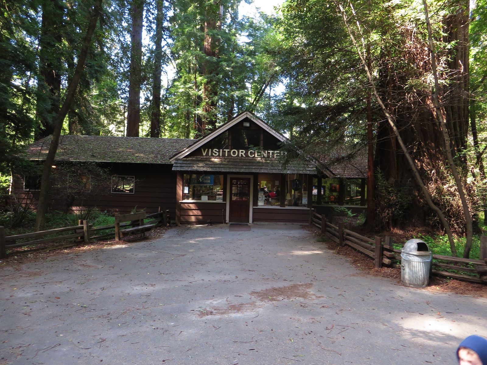
Park at the staffed Visitor Center off Highway 9 in Felton. A day-use fee applies, covering the whole park, with variable rates depending on whether you arrive by vehicle, bike, or on foot.
Difficulty, distance, and elevation gain on the loop
It’s a flat, 0.8-mile loop with essentially no elevation gain, paved and genuinely accessible.
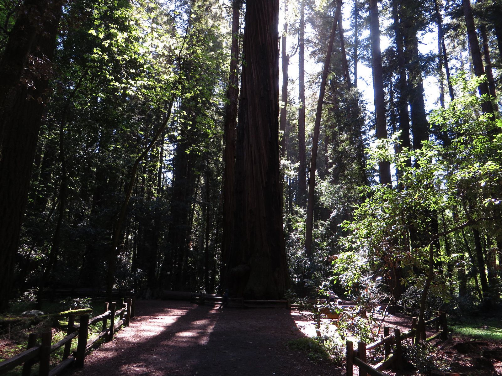
What you’ll see: old-growth coast redwoods, including a 1,500-year-old giant
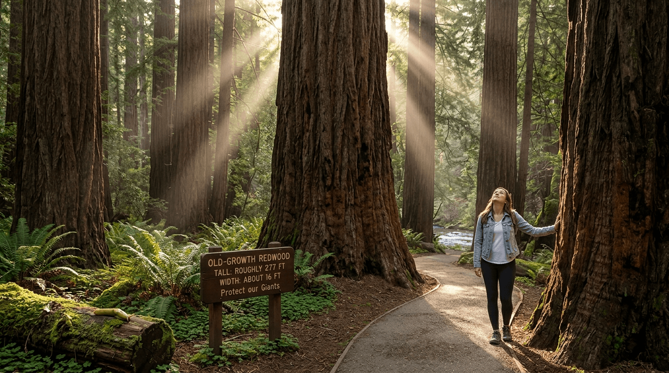
The park’s tallest tree stands roughly 277 feet, about 16 feet wide, and is estimated at 1,500 years old. This 40-acre grove was influential enough in its own right to help inspire some of California’s earliest redwood preservation efforts and drew admirers as notable as John C.
Frémont and Theodore Roosevelt. Beyond the big trees themselves, keep an eye out for banana slugs on the forest floor and steelhead trout in the adjacent river. This park actually protects four distinct habitats (redwood grove, grassland, river, and sandhills), and this loop only shows you one of them.
Best time to hike the Redwood Grove Loop: genuinely any time
Paved, flat, and shaded by dense canopy, this is one of the most weather-proof trails covered anywhere in this site’s coverage, a reliable option in nearly any season.
Fall Creek Trail: Henry Cowell’s quiet, fire-touched second-growth canyon
This is a separate, non-contiguous unit of the same state park, genuinely different terrain, genuinely different crowd levels, and a real piece of recent fire history.
Trailhead access: a free, separate lot at the Fall Creek Unit, Felton
This unit has its own free parking area, a short drive from the main Visitor Center. It’s day-use only, no camping, dogs, bikes, or fires.
Difficulty, distance, and elevation gain through the watershed
Expect about 5 miles round trip with 800 feet of gain, with adjustable loop options depending on how far you want to go, a genuinely moderate hike compared to the flat main grove loop.
What you’ll see: 19th-century lime kiln ruins, and a forest actively recovering from fire
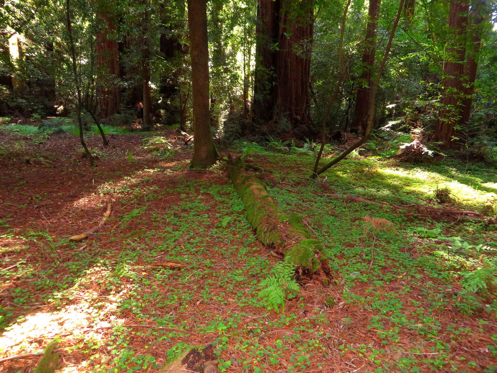
The trail passes substantial stone lime kiln ruins, where 19th-century workers burned local limestone into quicklime for construction. Worth knowing: the August 2020 CZU Lightning Complex Fire, the same fire that devastated nearby Big Basin Redwoods, burned through portions of this specific unit. The forest is now in visible recovery, with new growth sprouting directly from the charred trunks of surviving redwoods, a genuinely striking thing to see up close.
Best time to hike Fall Creek Trail: an uncrowded alternative, any season
This unit’s relative remoteness means it sees far fewer visitors than the main grove, worth the short drive if solitude matters to you as much as the trees themselves.
Henry Cowell Redwoods: Observation Deck Trail
This is the trail I’d point to if someone told me they’d already “done” Henry Cowell, genuinely different terrain and payoff from the famous grove loop.
Trailhead access: near the Henry Cowell Campground
This trailhead sits near the park’s campground, distinct from the Visitor Center access used for the Redwood Grove Loop.
Difficulty, distance, and elevation gain to the deck
Figures vary somewhat by starting point, but expect roughly 1–2 miles round trip with about 300 feet of gain through sandy, open terrain, genuinely different footing than the shaded redwood floor elsewhere in this guide.
What you’ll see: a rare sandhill habitat, and views over Monterey Bay
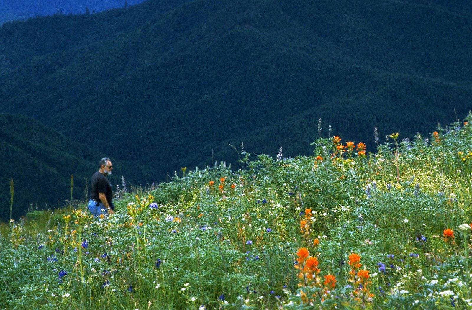
This trail crosses the Santa Cruz sandhills, ancient marine sand deposits supporting specialized plant species found almost nowhere else, before reaching an observation deck at 805 feet with genuine Monterey Bay views on clear days.
Best time to hike the Observation Deck Trail: clear days for the payoff view
Coastal fog and haze can obscure the bay view considerably, check conditions if the view itself is the point of your visit.
Aptos Creek Fire Road to the Loma Prieta Earthquake Epicenter (Forest of Nisene Marks)
This is the trail with the single most unusual landmark in this entire guide, and arguably anywhere else covered on this site.
Trailhead access: the Porter Family Picnic Area, Aptos, free
Park at the free Porter Family Picnic Area on Aptos Creek Road. Worth knowing: the access gate can close in winter, which adds about 2 extra miles round trip if you have to park at the lower lot instead.
Difficulty, distance, and elevation gain to the epicenter
Sources vary on the exact distance to the marked epicenter site itself, generally landing somewhere in the 7–10-mile round trip range with roughly 1,800 feet of gain on a wide, shaded fire road, genuinely one of the more demanding hikes in this guide, worth a look at my physical health benefits guide if you’re not used to a day this long.
What you’ll see: the exact epicenter of the 1989 Loma Prieta earthquake
A marked site along Aptos Creek commemorates the epicenter of the magnitude 6.9 earthquake that struck Northern California on October 17, 1989, a genuinely singular seismological landmark, deep in a forest that shows little other evidence of that day. Along the way, the fire road also passes the site of the old Loma Prieta sawmill and Hoffman’s historic logging camp, once home to around 100 loggers and mill workers, with old steam-train tracks still visible in places.
Best time to hike Aptos Creek Fire Road: a shaded escape, even in summer
Dense second-growth canopy keeps this meaningfully cooler than the coastal or inland-mountain trails covered elsewhere in this county’s guide series.
Five Finger Falls & West Ridge Trail (Forest of Nisene Marks)
I want to correct the record on this one clearly: this is a genuinely long hike, not the shorter outing sometimes described. It also currently has an access complication worth knowing before you plan around it, more on that below.
Trailhead access: the same free Aptos Creek trailhead as the epicenter hike
This trail shares its starting point with the Loma Prieta epicenter hike above, but branches toward the waterfall rather than the earthquake site.
Difficulty, distance, and elevation gain to Five Finger Falls
California State Parks’ own trail guide puts this at 13 miles round trip via Aptos Creek Fire Road and Aptos Creek Trail, considerably longer than a shorter estimate that circulates elsewhere online. Budget most of a day for this one, if it’s fully open when you go: a section of Aptos Creek Trail on the way to the falls has been closed due to storm damage and erosion, so check the park’s current closure list before you commit to this route.
The West Ridge Trail Camp, previously an overnight option on a longer loop version of this hike, is now permanently closed, so treat this as a day hike only.
What you’ll see: a multi-tiered seasonal waterfall, and remnants of old-growth logging history
Five Finger Falls tiers down Aptos Creek in a genuinely scenic multi-stage drop, and the route passes scattered old-growth redwood stumps and a handful of survivors from the area’s early-1900s logging era, run at the time by the Loma Prieta Lumber Company. The land itself has an unusual origin story: it’s named for Nisene Marks, a nature-loving mother whose family originally bought the property hoping to strike oil.

When drilling turned up nothing, her children donated the nearly 10,000 acres to the state in her memory in 1963, and the park has since grown to just over 10,000 acres.
Best time to hike Five Finger Falls: winter and spring for peak flow
Like most Santa Cruz Mountains waterfalls, this one runs strongest after winter rain and can slow to a trickle by late summer. Given the current trail closure affecting part of the route, this is also one to double-check seasonally; storm-damage repairs and access can change between visits.
Which of these five to hike first
If you want the fastest payoff, the Redwood Grove Loop delivers old-growth grandeur in under an hour. If you’re after something more offbeat, Aptos Creek Fire Road’s earthquake epicenter is genuinely unlike anything else on this site.
And now that Five Finger Falls’ real distance and current access situation are on the table, save that one for a day you’ve actually planned around a long hike with a status check beforehand, not a quick add-on.
Frequently asked questions
Is there a fee to hike at Henry Cowell Redwoods?
Yes, a day-use fee applies at the main Visitor Center area, covering access to the Redwood Grove Loop and Observation Deck Trail. The separate Fall Creek Unit is free.
Is Henry Cowell Redwoods the same as Big Basin?
No, they’re two different, separately managed state parks. Henry Cowell sits near Felton, and this guide covers it directly; Big Basin Redwoods has its own dedicated guide.
What caused the Loma Prieta earthquake?
A rupture along the San Andreas Fault system caused the magnitude 6.9 earthquake on October 17, 1989, with its epicenter located in the Forest of Nisene Marks along Aptos Creek.
Is Fall Creek Trail less crowded than the Redwood Grove Loop?
Yes, considerably, its separate, less-marked entrance and greater distance from the main Visitor Center mean it sees a fraction of the main grove’s visitor traffic.
Are there old-growth redwoods at Nisene Marks?
Mostly no, this forest was heavily logged in the early 1900s and is largely second-growth today, though scattered old-growth stumps and a few individual survivors remain visible along trails like the Five Finger Falls route.
Is Nisene Marks dog-friendly?
Yes, on fire roads and single-track trails south of the steel bridge, though dogs and bikes are restricted on certain sections, check current park signage for the specific trail you’re on.