The 5 Best Hiking Trails in the Desolation Wilderness, From a Granite Basin to the Tallest Peak in the Range
If the Lake Tahoe South Shore trails are the easy, no-permit side of El Dorado County hiking, this is the other side entirely: a 63, 000-acre federally designated wilderness of bare granite and alpine lakes where every single trail, day hike, or overnight requires a permit. Here’s the short version: Eagle Lake is the fastest, most accessible taste of real wilderness terrain, Lake Aloha is the trail everyone means when they picture Desolation, and Pyramid Peak is the one to save until you’re genuinely ready for a full-day mountain. This guide breaks down the premier Desolation Wilderness hiking trails so you can map out your permits and routes properly.
Disclosure: Please note that some of the links below are affiliate links and at no additional cost to you, I may earn a commission. Know that I only recommend hiking gear I personally stand behind; when you use my affiliate links, it helps me run this blog and keep all of this content free of charge for readers (like you).
Five trails anchor this guide: Lake Aloha via Echo Lakes, Eagle Falls to Eagle Lake, the Grouse and Hemlock Lakes loop from Wrights Lake, Ralston Peak, and Pyramid Peak. I’ll walk through the real permit system, current fees, and honest distances for each, this wilderness has a reputation for confusing first-timers with its zone-based quota system, so I want to get that part right before anything else.
Key takeaways
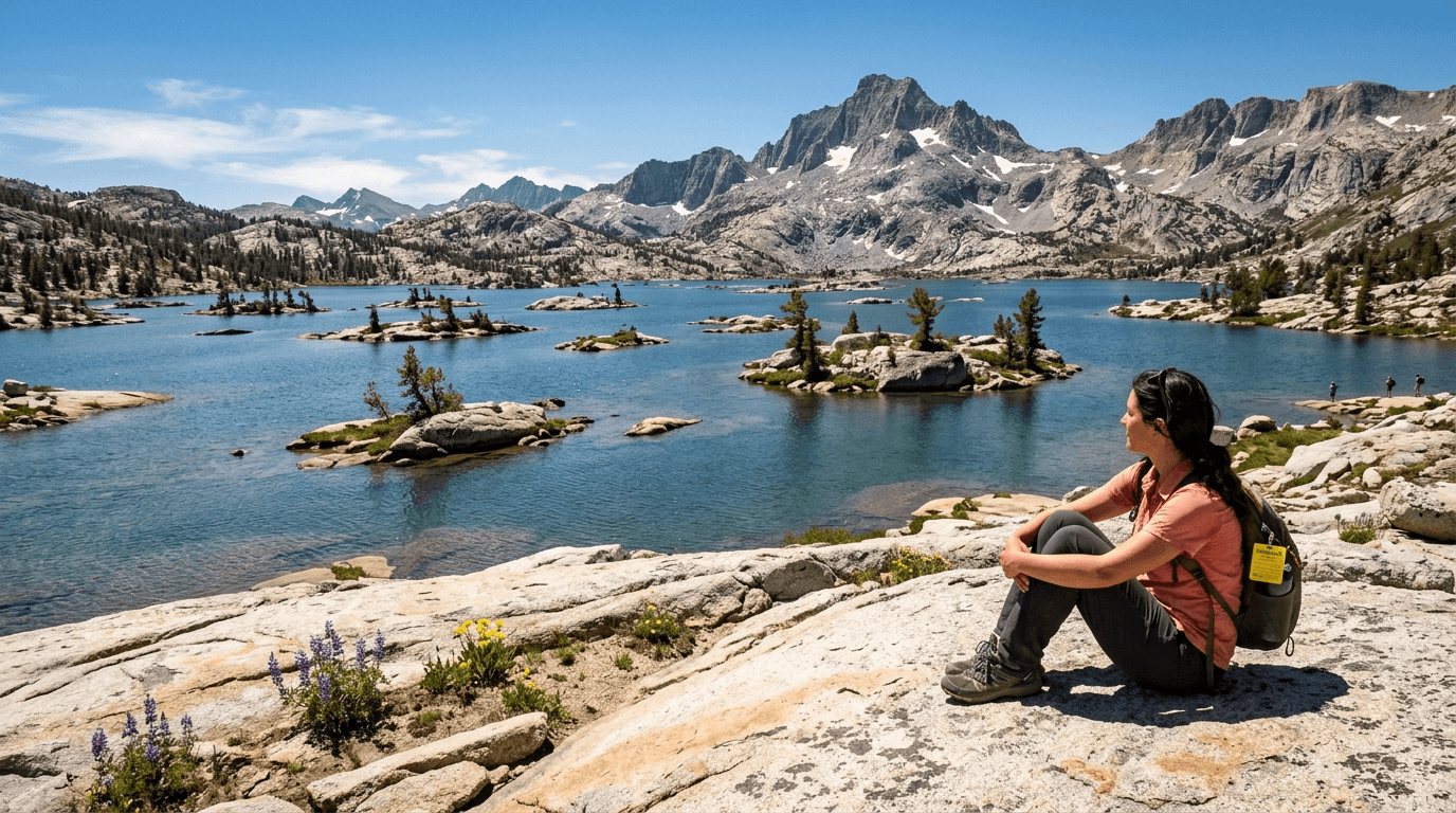
- The iconic granite basin: Lake Aloha, hundreds of small rock islands dotting a glacier-carved lake, arguably Desolation’s single most photographed feature.
- Fastest real wilderness taste: Eagle Lake, a roughly 2-mile round trip past a waterfall to an alpine lake, the shortest genuine wilderness-permit hike in this guide.
- Quietest chain of lakes: Grouse and Hemlock Lakes, a fraction of the crowds Eagle Lake and Lake Aloha see, from a different trailhead entirely.
- Best 360° panorama: Ralston Peak, a summit view taking in nearly the whole wilderness basin at once.
- The tallest point in the wilderness: Pyramid Peak, 9, 983 ft, the hardest and longest trail in this entire guide.
- Every trail here needs a permit, free for day use, quota-based for overnight.
Quick-glance comparison
| Trail | Distance (RT) | Elevation gain | Trailhead | Best for |
|---|---|---|---|---|
| Lake Aloha (via Echo Lakes) | ~8 mi (with water taxi) to ~12 mi (without) | 600–1, 000 ft | Echo Lakes | The iconic granite-island basin |
| Eagle Falls to Eagle Lake | ~2 mi | ~500 ft | Highway 89, Eagle Falls | Fastest wilderness taste |
| Grouse & Hemlock Lakes | 4–6 mi | 1, 200–1, 700 ft | Twin Lakes, Wrights Lake | Solitude |
| Ralston Peak | ~8–9.5 mi | ~2, 500 ft | Near Camp Sacramento, Hwy 50 | 360° panorama |
| Pyramid Peak | ~11–12.2 mi | ~3, 257–3, 400 ft | Lyons Creek, Wrights Lake Rd | Tallest summit in the wilderness |
Lake Aloha Trail (via Echo Lakes Trailhead): the iconic granite basin
This is the trail that shows up on every Desolation Wilderness postcard, and the hike genuinely earns that reputation.
Trailhead access and parking at the Echo Lakes Trailhead (wilderness permit required)
The trailhead sits about 10 miles southeast of South Lake Tahoe off Highway 50, with a fee parking lot that fills early on summer weekends. A free self-issue day-use wilderness permit is required at the kiosk here regardless of whether you’re day hiking or backpacking overnight.
Difficulty, distance, and elevation gain to Lake Aloha
Here’s where the water taxi genuinely changes the math: hiking the full distance from the trailhead runs about 12 miles round trip (6 miles one-way), climbing roughly 600 to 1, 000 ft along the way. Taking the seasonal water taxi across Lower and Upper Echo Lakes cuts the first 2.5 miles each way, shrinking the round trip to roughly 8 miles.
What you’ll see: a vast granite basin dotted with hundreds of islands
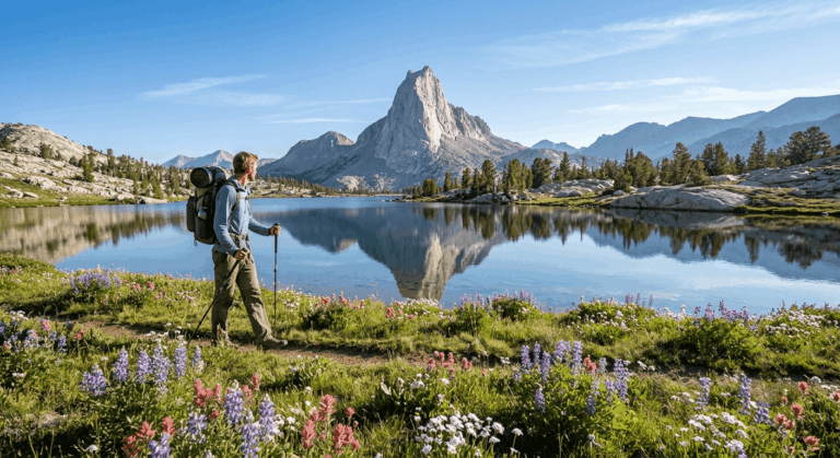
Lake Aloha is a dammed, shallow lake whose surface is genuinely speckled with small granite islands at typical summer water levels, the single most photographed alpine-lake landscape in the entire wilderness, framed by the sheer walls of the Crystal Range. Camping directly along Lake Aloha’s immediate shore is prohibited, so overnight permit holders camp in one of the surrounding numbered zones instead.
Best time to hike Lake Aloha: take the water taxi to shorten the hike
The water taxi typically runs through the main summer season; check current fares and hours directly with the Echo Lake Chalet before planning around it, since schedules shift year to year.
Eagle Falls Trail to Eagle Lake: the fastest real wilderness taste
If you’ve only got a couple of hours and still want a genuine wilderness-permit hike, this is it. Be sure to review the Eagle Falls route details before you go, as it’s also the busiest, most access-constrained trailhead in this entire guide.
Trailhead access and parking at the Eagle Falls Trailhead, Highway 89 (wilderness permit required)
This tiny lot sits directly across Highway 89 from the protected Emerald Bay State Park corridor,, the same Emerald Bay covered in my Lake Tahoe trails guide, and it notoriously overflows by mid-morning most summer days. A free self-issue wilderness permit is available right at the trailhead.
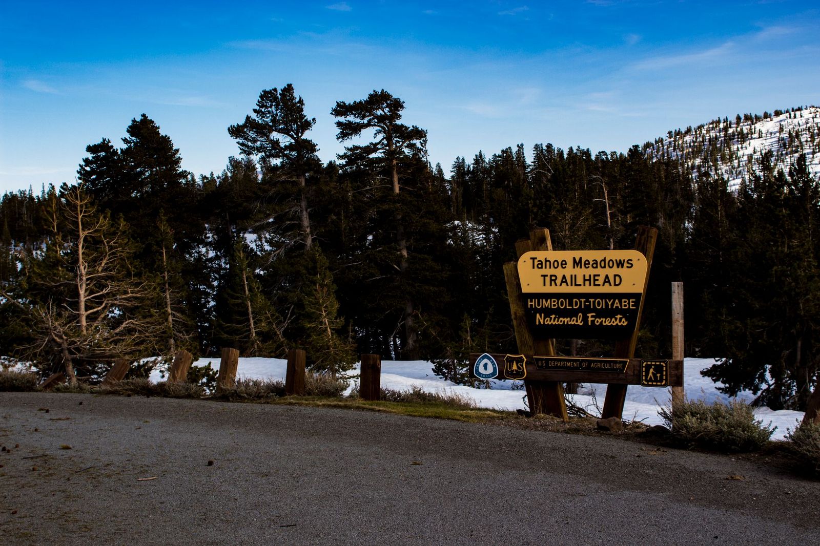
Difficulty, distance, and elevation gain to Eagle Lake
A genuine 2-mile round trip with roughly 500 ft of gain, the shortest true wilderness-permit hike in this guide, up granite steps that get slippery when wet.
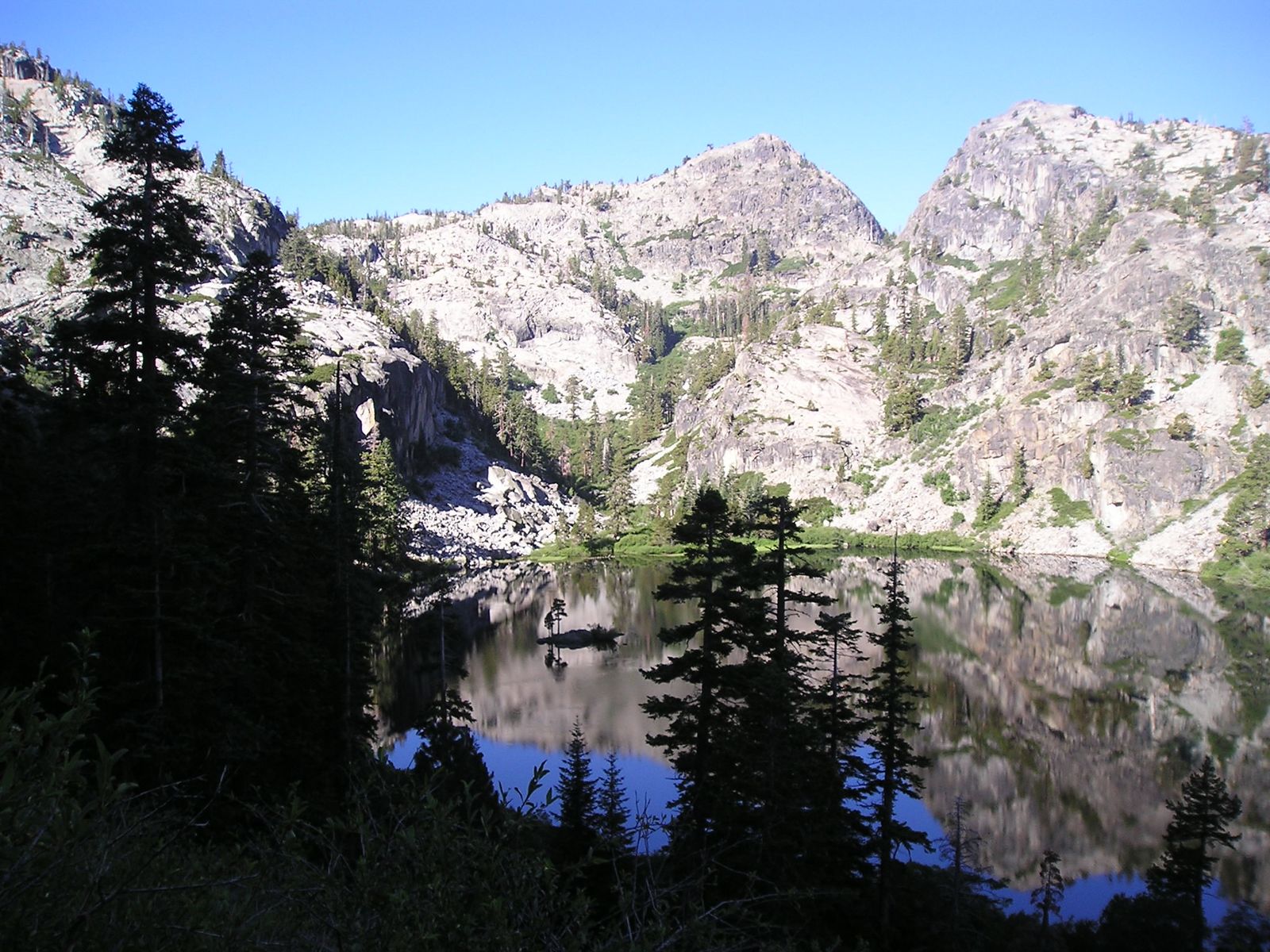
What you’ll see: a waterfall overlook of Emerald Bay followed by an alpine lake
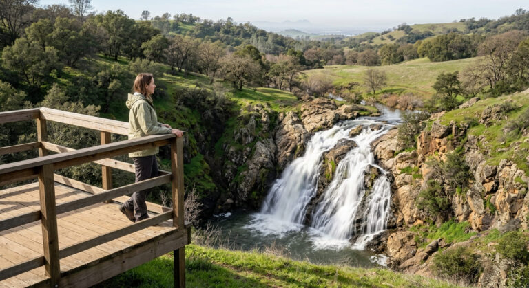
Eagle Falls cascades toward Emerald Bay early in the hike, then the trail continues to a granite-basin alpine lake beyond, a waterfall and a lake in one short trip. Swimming is allowed (cold), and dogs are welcome on leash.
Best time to hike Eagle Falls: early morning; the small lot fills by 8 a.m.
This isn’t an exaggeration; the parking situation here is the defining planning consideration for this trail. Arrive at opening or plan on a long walk from overflow parking down the highway.
Grouse Lake and Hemlock Lake: the quiet chain from Wrights Lake
If Eagle Lake and Lake Aloha sound too crowded, this is the trail I’d point you to instead, a genuinely different trailhead, on the opposite side of the wilderness.
Trailhead access and parking at the Twin Lakes Trailhead, Wrights Lake (wilderness permit required)
Reached via Wrights Lake Road off Highway 50 near Kyburz, then a short walk from the Wrights Lake day-use parking area (a fee applies here) to the actual Twin Lakes Trailhead. Free self-issue wilderness permits are available at the trailhead sign-in.
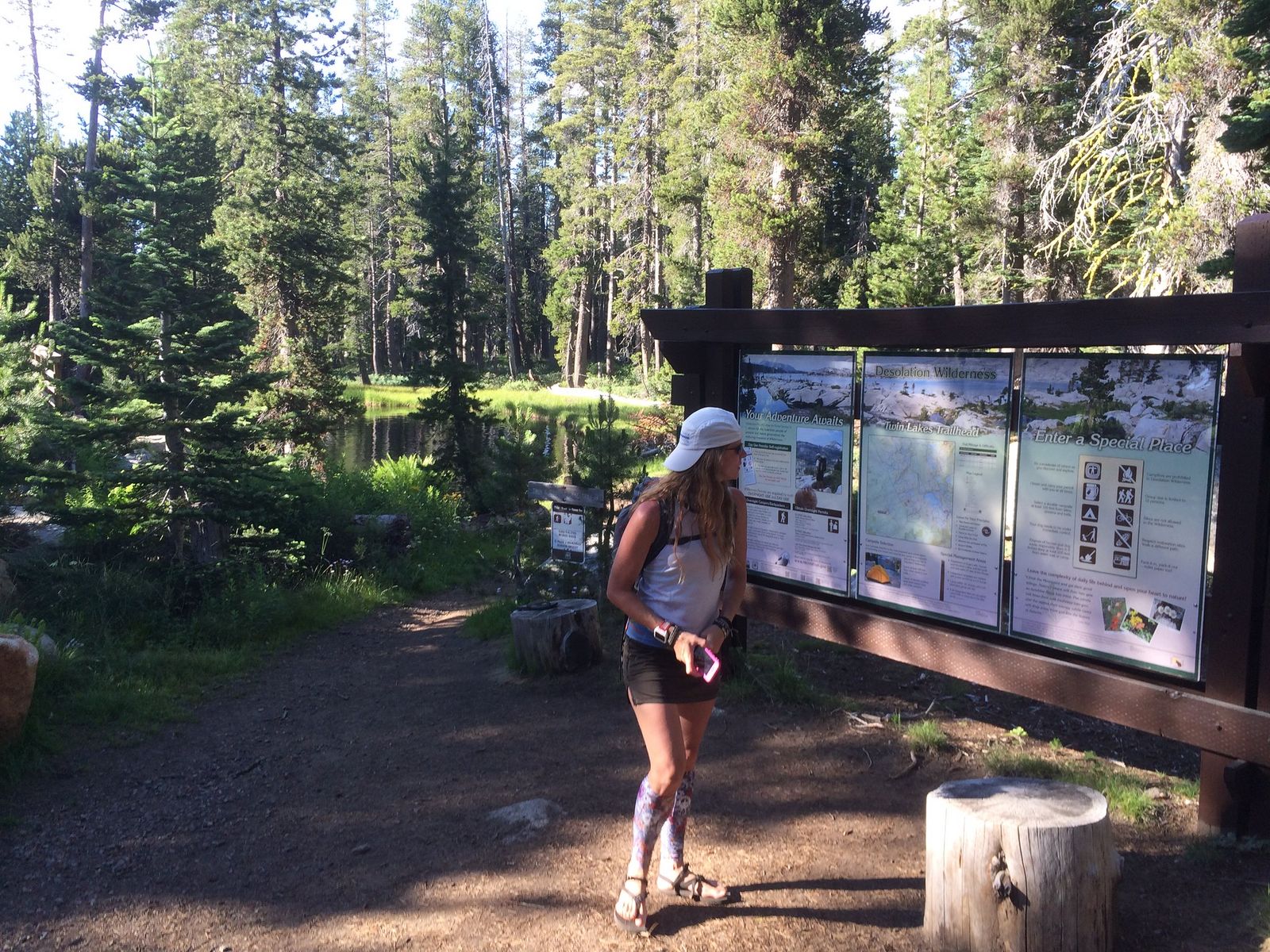
Difficulty, distance, and elevation gain on the Grouse and Hemlock Lakes route
Expect about 4 miles round trip with roughly 1, 200 ft of gain to Grouse Lake alone, extending to around 6 miles and 1, 700 ft if you continue on to Hemlock and Smith Lakes above it.
What you’ll see: a quieter chain of alpine lakes away from the Eagle Falls crowds
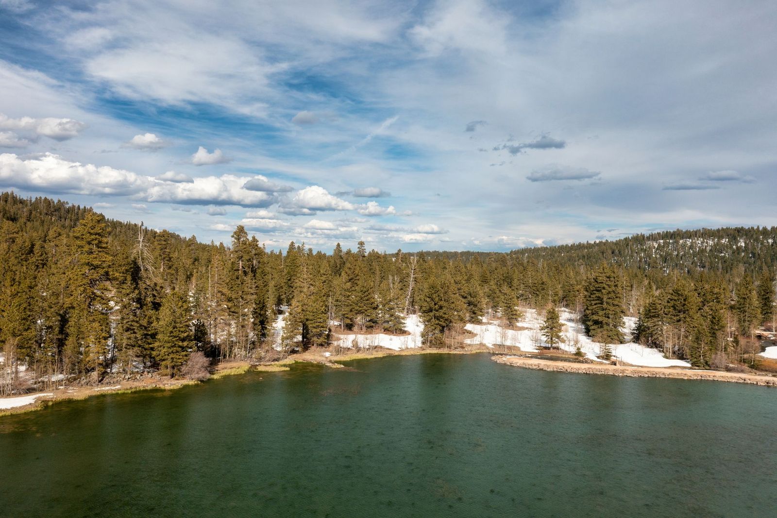
Grouse Lake sits in a granite basin reached by climbing through fir and mountain hemlock forest, with Hemlock and Smith Lakes stacked higher up the same drainage, a fraction of the foot traffic Eagle Lake or Lake Aloha see on the same summer weekend.
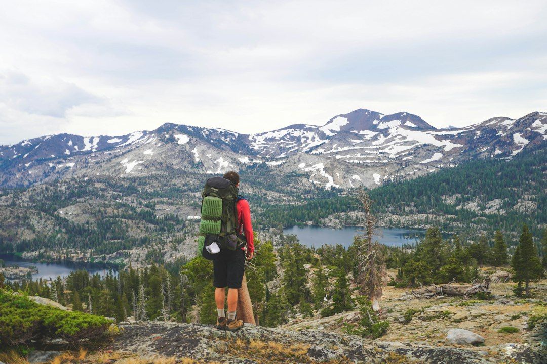
Best time to hike Grouse and Hemlock Lakes: a less-crowded alternative most weekends
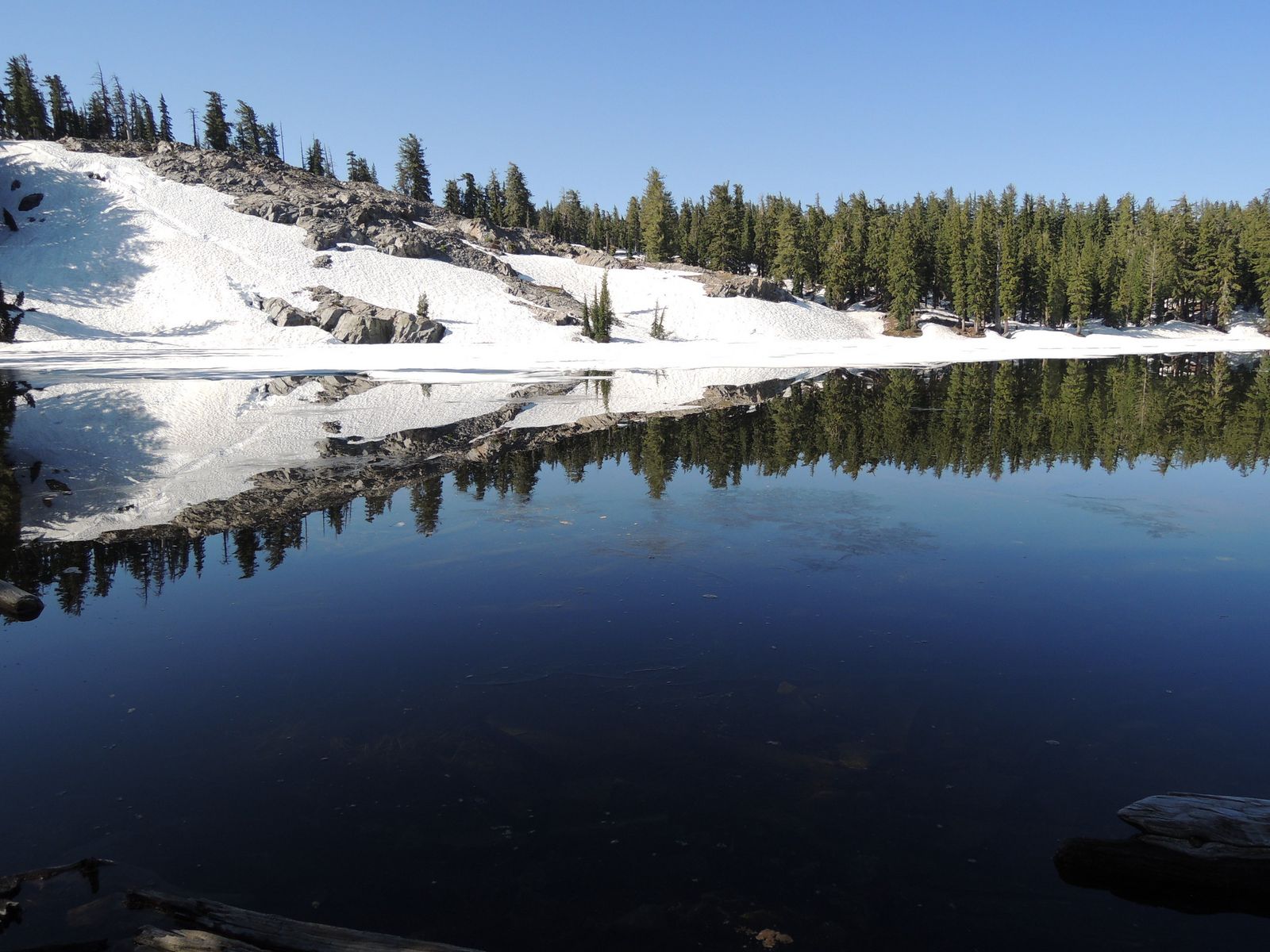
Snow can linger on this trail well into July some years, so check current conditions before an early-season trip. Once it’s clear, this is consistently the quieter option compared to the Echo Lakes and Eagle Falls trailheads.
Ralston Peak Trail: a 360° view over the entire basin
This is the trail I’d recommend to someone who wants the summit-panorama experience without committing to Pyramid Peak’s full day.
Trailhead access and parking near Camp Sacramento, Highway 50 (wilderness permit required)
The trailhead sits along the Highway 50 corridor near the historic Camp Sacramento family resort, the southernmost access point in this guide. Free self-issue permits are available at the trailhead.
Difficulty, distance, and elevation gain to Ralston Peak’s summit
Sources put this at roughly 8 to 9.5 miles round trip with about 2, 500 ft of gain to the 9, 235-ft summit, a genuinely steep, sustained climb with essentially no water past the first mile.
What you’ll see: a 360° view over the entire Desolation Wilderness basin
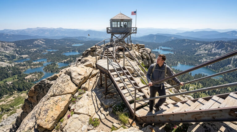
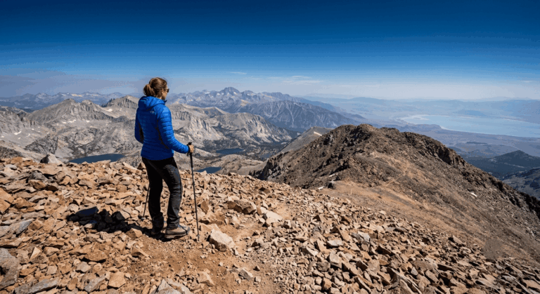
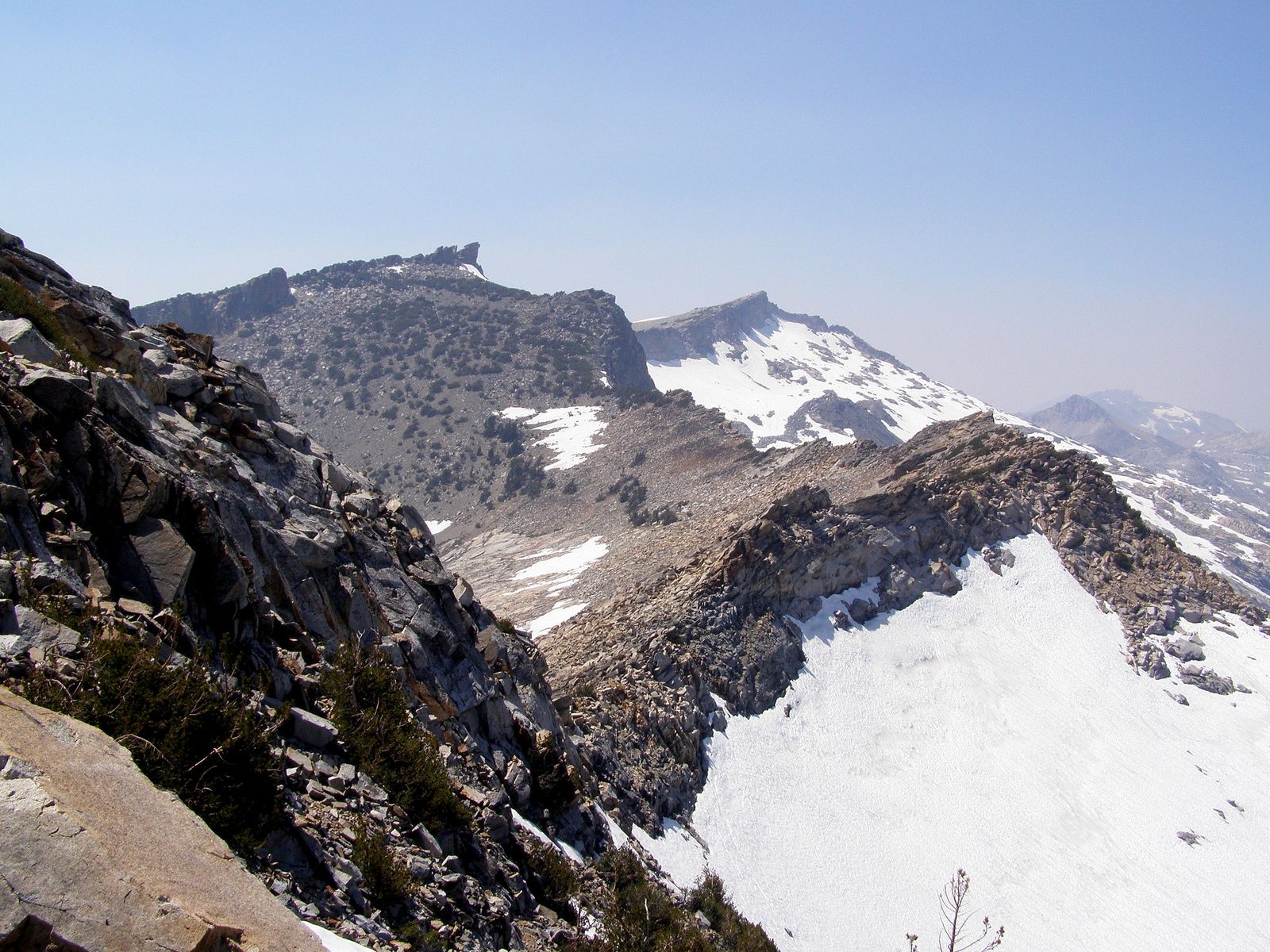
From the top, you can take in Lake Aloha, Pyramid Peak, and the full sweep of the Crystal Range in a single panorama, the most comprehensive overview of the wilderness available from any trail in this guide.
Best time to hike Ralston Peak: clear summer days for the best panorama
Wildfire smoke can seriously degrade visibility here in late summer some years, so a clear day genuinely matters more on this trail than most others in this guide, check current air quality before making the drive.
Pyramid Peak Trail (via Lyons Creek Trailhead): the tallest point in the wilderness
This is the trail to save until you’re genuinely ready for a full day of sustained climbing, not a casual add-on to anything else in this guide.
Trailhead access and parking at the Lyons Creek Trailhead, off Wrights Lake Road (wilderness permit required)
About 4 miles up Wrights Lake Road from Highway 50 near Kyburz, the same general road corridor covered in my Eldorado National Forest trails guide, though this specific trailhead sits within the wilderness permit boundary while that guide’s trails stay outside it. Free self-issue permits available at the trailhead.
Difficulty, distance, and elevation gain to Pyramid Peak’s summit
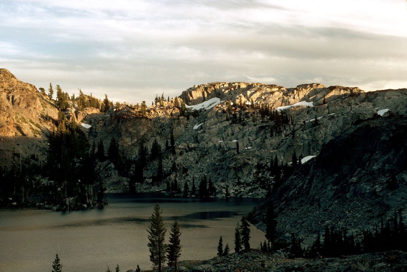
Expect roughly 11 to 12.2 miles round trip with about 3, 257 to 3, 400 ft of gain to the 9, 983-ft summit, most people do this as an overnight, camping at Lyons or Sylvia Lake, though motivated day hikers do complete it in a single very long day.
What you’ll see: the highest point in the Desolation Wilderness
Pyramid Peak is the tallest point within the wilderness boundary, dominating the Crystal Range with its distinctive pyramid shape, visible from as far away as Sacramento on a clear day. The final push involves genuine rock scrambling, not just steep trail.
Best time to hike Pyramid Peak: a full-day summer summit push only
This is the most restrictive timing profile of any trail in this guide, a long, exposed, high-elevation push that only makes sense as a summer day or an overnight, never a rushed add-on.
The trail I’d actually start with
If you’ve only got one day in the Desolation Wilderness, hike Eagle Falls to Eagle Lake first; it’s the fastest way to understand what makes this wilderness distinct from the easier lakeshore trails covered in my Lake Tahoe guide, without committing to a full day. From there, Lake Aloha (with the water taxi) is the natural next step, and Grouse/Hemlock Lakes is the pick if the crowds at those first two trails wear you down. Ralston Peak and Pyramid Peak both deserve their own dedicated full-day trips, not a same-visit add-on.
For waterfalls near this wilderness’s boundary that aren’t covered in this guide, Cascade Falls and Lyons Creek Falls among them, my guide to El Dorado County’s best waterfall trails covers those separately. And if the permit system or elevation gain here sounds like more than you want to deal with, my family-friendly trails guide covers easier, no-permit options elsewhere in the county. Since altitude and sudden afternoon weather are real considerations at every trail in this guide, my breakdowns of weather hazards and wildlife hazards on California trails are worth reading before you go.
Frequently asked questions
Do you need a permit to hike in the Desolation Wilderness?
Yes, for every trail in this guide, year-round, whether you’re day hiking or backpacking overnight. Day-use permits are free and self-issued at trailhead kiosks. Overnight permits involve a quota system from the Friday before Memorial Day through September 30, with fees of $5 per person for the first night and $10 for additional nights, plus a $6 reservation fee per party. For full details, check out the complete Desolation Wilderness permit breakdown.
How do you get a Desolation Wilderness permit?
Day-use permits are free and available at self-serve kiosks right at most trailheads. Overnight permits are reserved through [recreation.gov](https://www.recreation.gov), with 70% of each zone’s quota bookable up to 6 months in advance and the remaining 30% available first-come, first-served at the Forest Supervisor’s Office in South Lake Tahoe.
Is Lake Aloha worth the hike?
Yes, it’s the single most iconic landscape in the entire wilderness, a granite basin dotted with small rock islands that photographs like nowhere else in the Tahoe area. Taking the seasonal water taxi across Echo Lakes cuts a meaningful chunk of the distance if a shorter day matters to you.
Is Eagle Falls Trail crowded?
Very, especially on summer weekends. The trailhead parking lot is small and notoriously fills by 8 a.m., making early arrival the single most important planning factor for this specific trail.
What is the highest peak in the Desolation Wilderness?
Pyramid Peak, at 9, 983 ft, at the southern end of the Crystal Range, the destination of this guide’s longest and hardest trail.
When does snow close Desolation Wilderness trails?
Heavy snow can begin as early as October and persist into July in some years, particularly on higher trails like Pyramid Peak and Ralston Peak. Lower trailheads like Eagle Falls typically clear earlier in the season than trails accessed from Wrights Lake Road or Echo Lakes.