5 Best Hiking Trails Near Yosemite’s Big Oak Flat Entrance, Tuolumne County
A geography note before anything else: the working title for this guide referred to this as Yosemite’s “southern entrance.” That’s not accurate, and I want to flag it clearly rather than quietly write around it. The trails in this guide, Hetch Hetchy, the Tuolumne and Merced sequoia groves, Poopenaut Valley, and Carlon Falls, are all reached via the Big Oak Flat Entrance on Highway 120, which sits on Yosemite’s western/northwestern side. Yosemite’s actual southern entrance is Wawona, off Highway 41, in Mariposa County, a different corridor entirely. This breakdown focuses strictly on the best Hiking Trails Near Yosemite’s Big Oak Flat Entrance so you can plan your route accurately.
Disclosure: Please note that some of the links below are affiliate links and at no additional cost to you, I may earn a commission. Know that I only recommend hiking gear I personally stand behind; when you use my affiliate links, it helps me run this blog and keep all of this content free of charge for readers (like you).
This is the entrance corridor for anyone driving up from the Bay Area or Central Valley on Highway 120, a genuinely different Yosemite experience than either Tuolumne Meadows or the crowded Yosemite Valley floor. It’s also part of the much larger Yosemite National Park trail system. These five trails span a dammed valley John Muir fought to save, two separate giant sequoia groves, the steepest official trail in the entire park, and a waterfall you can hike to without paying an entrance fee at all.
Key takeaways
- Most historically significant: Hetch Hetchy, a valley John Muir compared to Yosemite Valley itself, dammed in the 1920s over his objections, now the water supply for San Francisco.
- Best quiet sequoia grove: Merced Grove, the smallest, least-visited of Yosemite’s three sequoia groves. One geography note: it sits just across the Mariposa County line, though it’s reached via the same Tuolumne County entrance corridor as the rest of this guide.
- Best accessible sequoia grove: Tuolumne Grove, a paved former road leading to a historic walk-through tunnel-tree stump, and genuinely popular with tour groups.
- Steepest trail in this entire guide, by far: Poopenaut Valley, widely considered the steepest trail in all of Yosemite National Park, a claim that comes from park rangers and repeat hikers rather than an official NPS ranking, but a well-earned reputation.
- Best free option: Carlon Falls, a swimming-hole waterfall you can reach without ever passing through a staffed entrance gate.
- None of these trails currently require an advance reservation, Yosemite dropped its day-use reservation system for 2026, but check current park alerts before a summer trip, since that’s changed before and could again.
How these five Big Oak Flat corridor trails compare
| Trail | Round-trip distance | Elevation gain | Difficulty | Best for |
|---|---|---|---|---|
| Hetch Hetchy / O’Shaughnessy Dam | Under 1 mi (dam only); 5.6 mi to Wapama Falls | Minimal (dam); ~900 ft (to falls) | Easy | History, a dammed valley |
| Merced Grove | ~3-4.2 mi | ~500-730 ft | Moderate | Quiet, uncrowded sequoias |
| Tuolumne Grove | ~2.5-2.7 mi | ~500-610 ft | Easy-moderate | Accessible sequoias, tunnel tree |
| Poopenaut Valley | ~2.1 mi | ~1,246 ft | Strenuous | Reputedly Yosemite’s steepest trail |
| Carlon Falls | ~3-4 mi | ~200-400 ft | Easy-moderate | Free access, swimming |
Hetch Hetchy: O’Shaughnessy Dam Overlook Trail
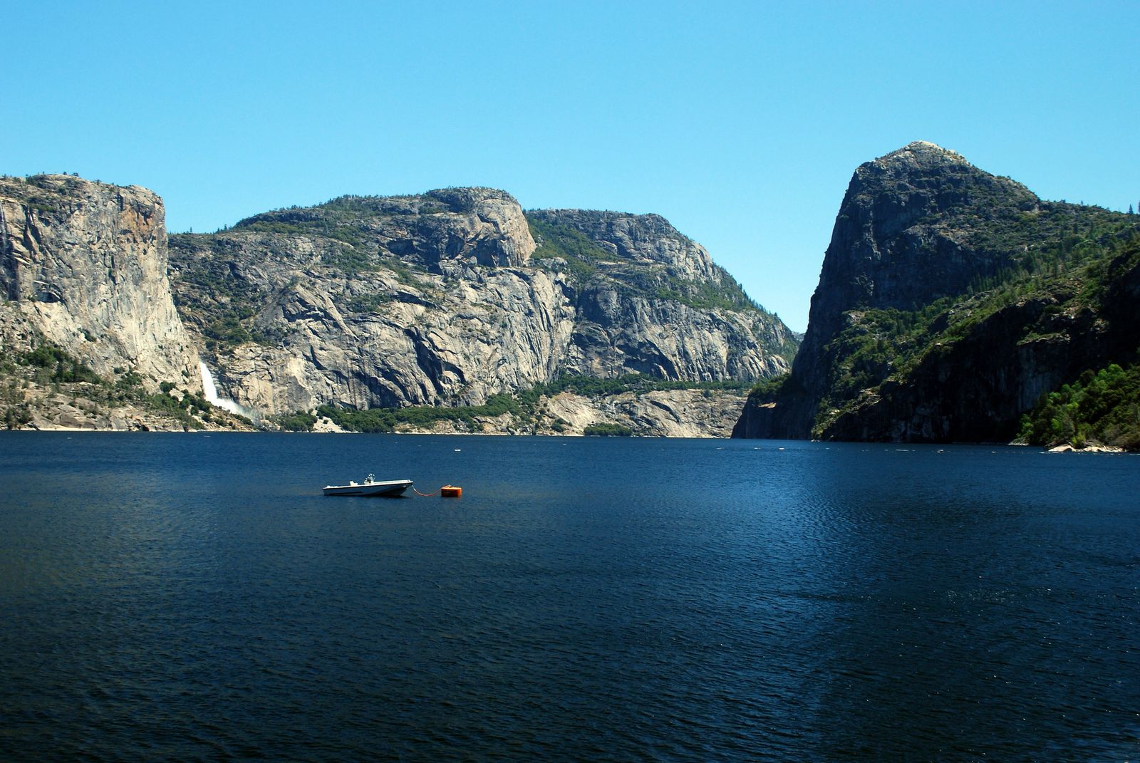
This is the most historically loaded trail in this entire guide, a valley early conservationists, John Muir among them, argued was as beautiful as Yosemite Valley, dammed and flooded anyway in the 1920s to supply San Francisco’s water.
Trailhead access and parking at the Hetch Hetchy Entrance Station
Hetch Hetchy has its own separate entrance station off Evergreen Road, turned off Highway 120 about half a mile before the Big Oak Flat entrance gate, which is fully outlined in this comprehensive Hetch Hetchy itinerary. No day-use reservation is currently required here as of 2026, a change from some past years, but this has shifted before, so check current park alerts before you drive out. Parking near the dam fills up in summer; arrive early or be ready to walk part of the road in.
Difficulty, distance and elevation gain across O’Shaughnessy Dam
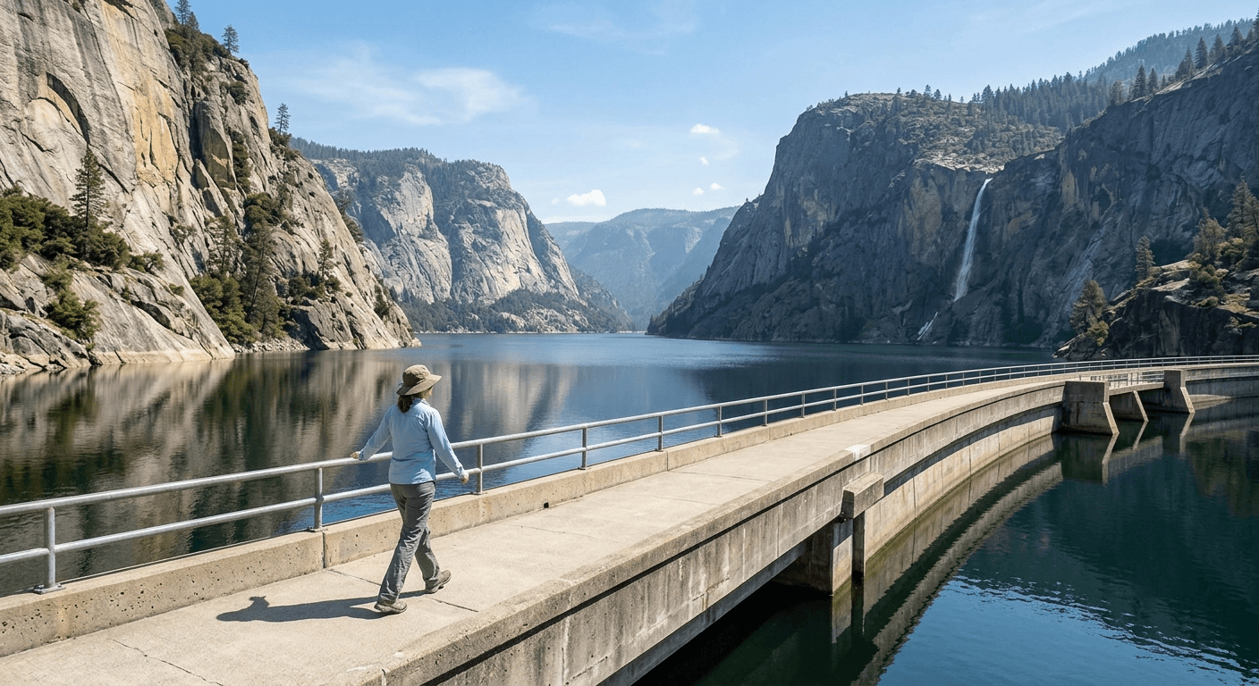
The walk across the dam itself is short, well under a mile round trip with minimal elevation change, genuinely one of the easiest trails in this entire guide. If you want more, the trail continues past the dam to Wapama Falls, a longer 5.6-mile round trip with about 900 feet of gain.
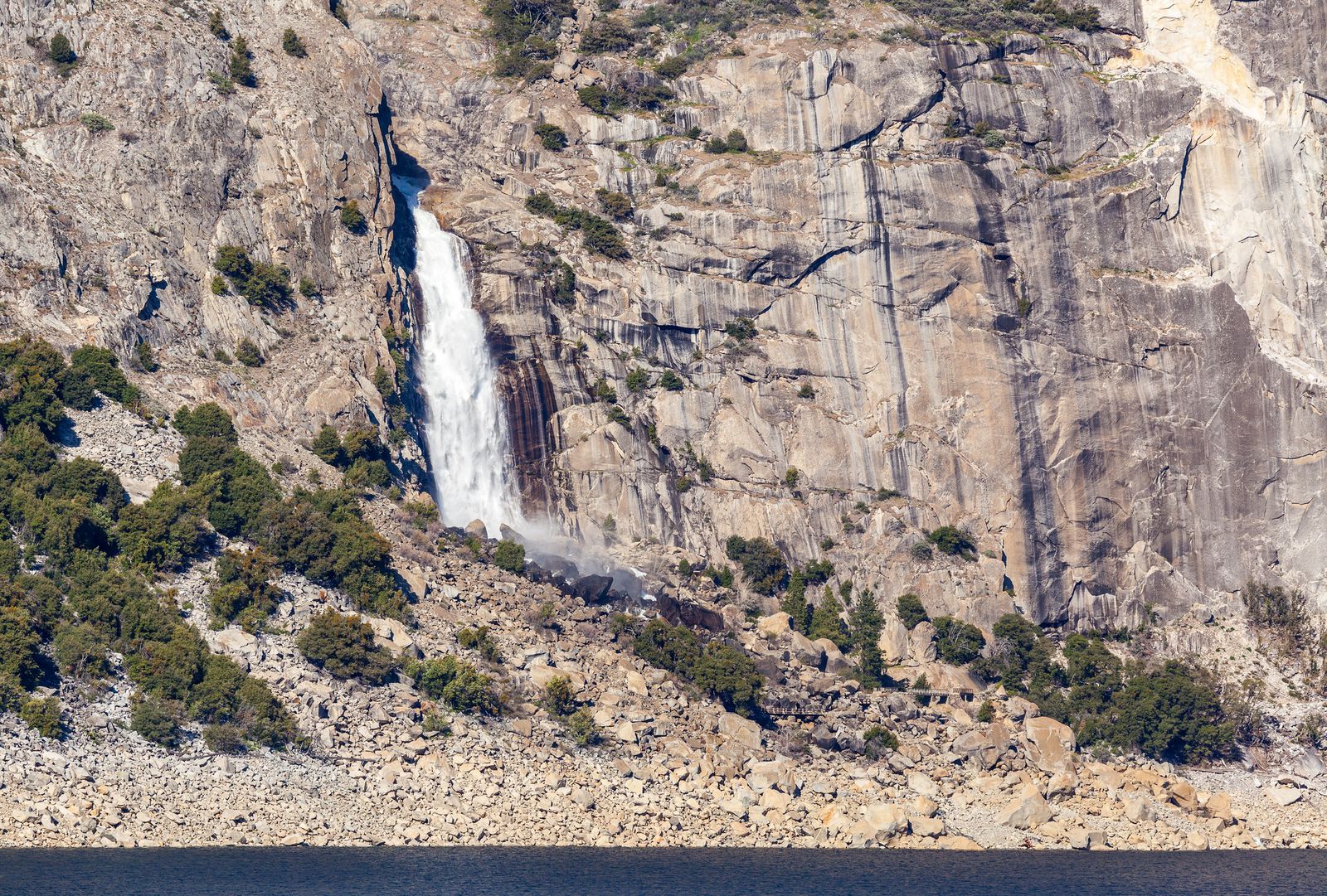
What you’ll see: a reservoir-flooded valley once compared to Yosemite Valley itself
Before the O’Shaughnessy Dam was completed in 1923, Hetch Hetchy Valley’s granite walls and waterfalls were described by Muir and others as rivaling Yosemite Valley itself, the dam and reservoir now sit where that valley floor used to be, a genuinely singular piece of California environmental history. If waterfalls are more your draw than the history, our Tuolumne County waterfall hikes guide covers Wapama and Tueeulala Falls, both reachable from this same trailhead, in more depth.
Best time to hike O’Shaughnessy Dam: spring for full reservoir views
Reservoir levels run highest in spring after snowmelt, when the flooded valley looks its fullest, by late summer and fall, water levels can drop noticeably, exposing more of the reservoir’s edges.
Merced Grove of Giant Sequoias Trail
This is the quiet sequoia grove, smaller, harder to find, and genuinely less visited than either Tuolumne Grove down the road or the famous Mariposa Grove further south.
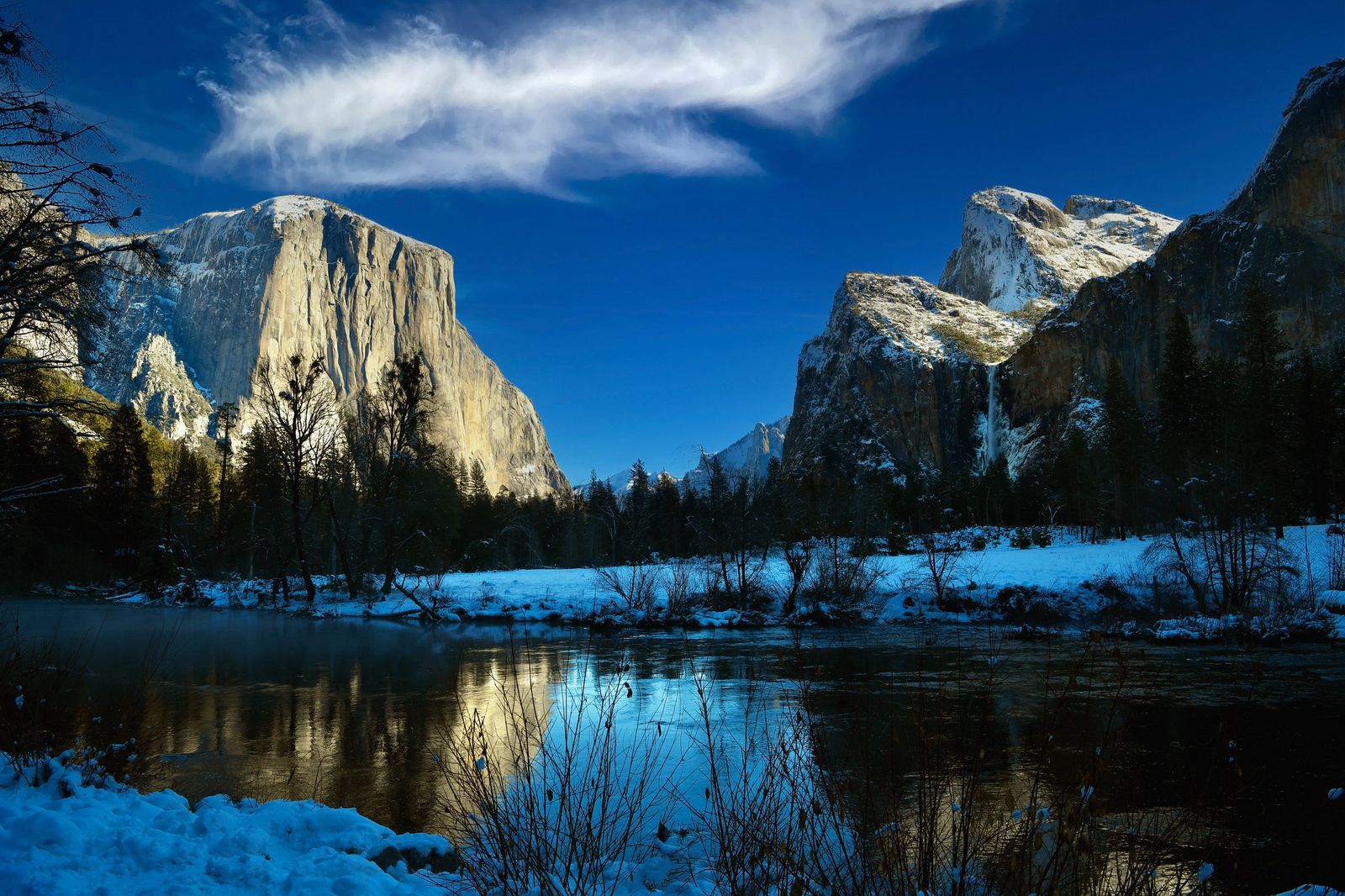
Trailhead access and parking on Big Oak Flat Road
A small, easy-to-miss pullout on Big Oak Flat Road holds the trailhead, with genuinely limited parking, the least-signed sequoia grove access point in the park. A geography note worth flagging directly: Merced Grove itself sits just across the county line in Mariposa County, not Tuolumne County, even though you reach it via the same Tuolumne County entrance corridor as every other trail in this guide.
I’m including it here because it’s genuinely part of the same Big Oak Flat Road experience, but it’s worth knowing this one trail technically sits outside the county this guide is nominally about.
Difficulty, distance and elevation gain to the Merced Grove
Figure roughly 3 to 4.2 miles round trip depending on source, with 500 to 730 feet of elevation change, moderate, and mostly loaded onto the return climb, since the trail descends to the grove first.
What you’ll see: Yosemite’s smallest and quietest giant sequoia grove
About 20 mature giant sequoias stand here in a relatively open understory, a fraction of the crowd you’d find at Mariposa Grove and even less trafficked than Tuolumne Grove nearby, genuinely one of the more solitary sequoia experiences left in the park.
Best time to hike Merced Grove: an uncrowded alternative to Mariposa Grove
No shuttle system, no timed entry, no crowds to speak of, if Mariposa Grove’s popularity is what’s kept you from seeing Yosemite’s sequoias, this is the trade-off that actually works.
Tuolumne Grove of Giant Sequoias Trail
This is the more accessible, more visited of the two sequoia groves in this guide, a paved former road leading to roughly two dozen mature sequoias and a genuine piece of only-in-California roadside history.
Trailhead access and parking near Crane Flat, Big Oak Flat Road
A larger, well-signed lot sits near Crane Flat, at the start of Tioga Road, the easiest sequoia grove to find and park at in this entire guide, though it still fills up on busy summer days.
Difficulty, distance and elevation gain to the Tuolumne Grove
Plan on roughly 2.5 to 2.7 miles round trip with 500 to 610 feet of elevation gain on a paved former road, an easier profile than Merced Grove, and a wider range of visitors manage this one comfortably.
What you’ll see: ancient giant sequoias and a historic walk-through “tunnel tree” stump
The grove’s centerpiece is the Dead Giant, a fire-scarred sequoia stump that was tunneled through in 1878 specifically to let carriages, and later cars, drive through it, the first tunnel tree ever created, predating the more famous one at Mariposa Grove. It’s long dead and no longer drive-through (foot traffic only now), but you can still walk through the tunnel itself.
Best time to hike Tuolumne Grove: weekday mornings to beat the tour groups
This is genuinely the second-most-visited sequoia grove in the park after Mariposa, and tour buses are a real factor here in a way they aren’t at Merced Grove, weekday mornings are your best shot at a quiet visit.
Poopenaut Valley Trail
I want to be direct about this one: it’s short, and it’s widely regarded, by park rangers and the hiking community, as the steepest trail in all of Yosemite National Park. That’s not an official NPS ranking, but it’s a consistent enough claim across enough sources that it’s worth taking seriously.
Trailhead access and parking along Evergreen Road, near Hetch Hetchy
An unmarked roadside pullout on Evergreen Road holds space for only a couple of cars, the most obscure, easy-to-drive-past trailhead in this entire county series. The official NPS trailhead page doesn’t use the word “steepest,” but its own warning, “if you hike down, you must be able to hike back up”, backs up the reputation either way.
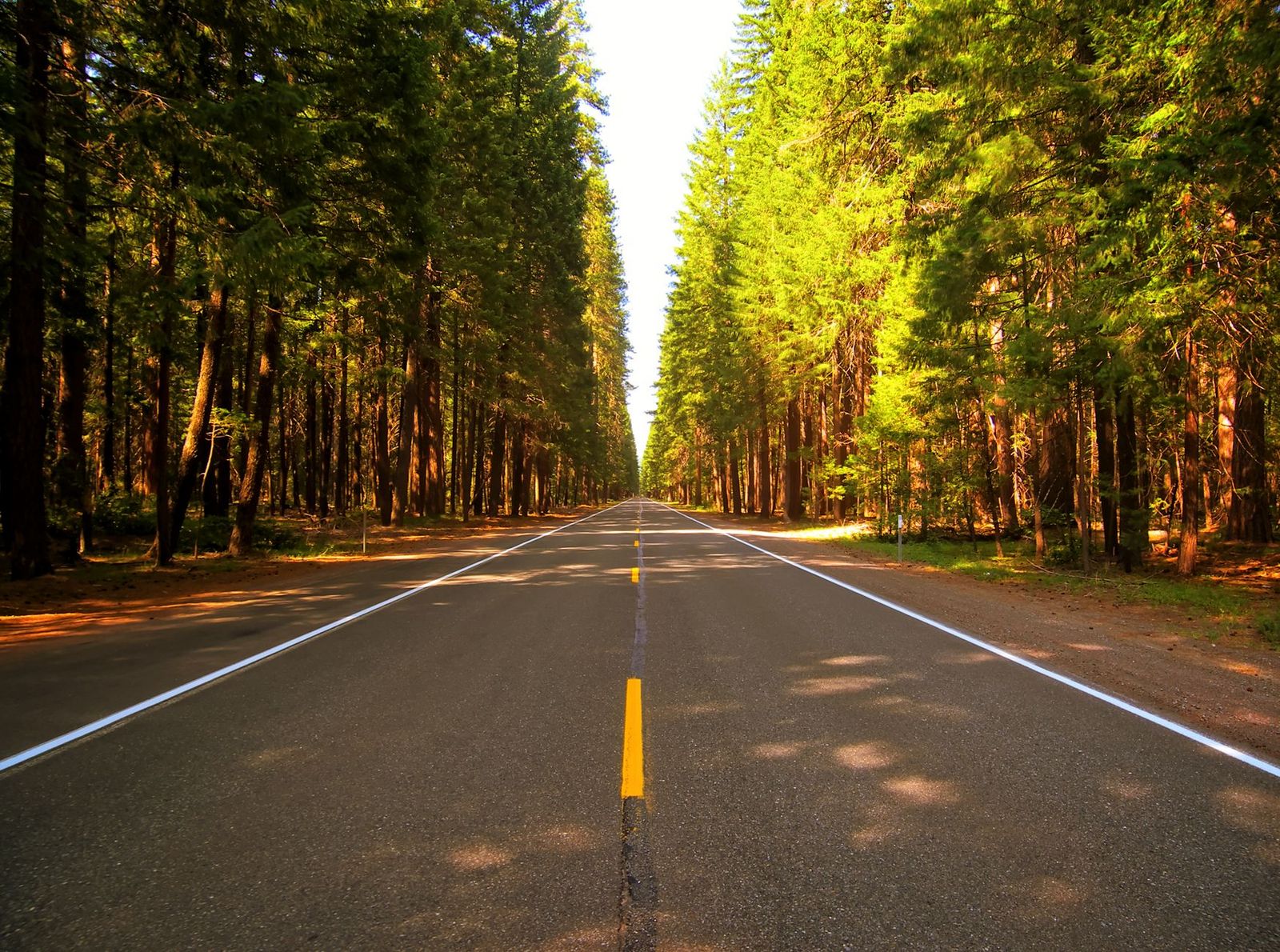
Difficulty, distance and elevation gain to the Poopenaut Valley overlook
Expect about 2.1 miles round trip with roughly 1,246 feet of elevation change, meaning close to 1,200 feet of climbing packed into barely a mile on the way back up. Short in mileage, genuinely demanding in practice.
What you’ll see: a steep overlook of the Tuolumne River canyon
The trail drops into sweeping views of the Tuolumne River canyon below Hetch Hetchy, one of the least-visited viewpoints in this entire guide, largely because so few people know the trailhead is even there. Watch for poison oak along the lower trail and rattlesnakes on warm days.
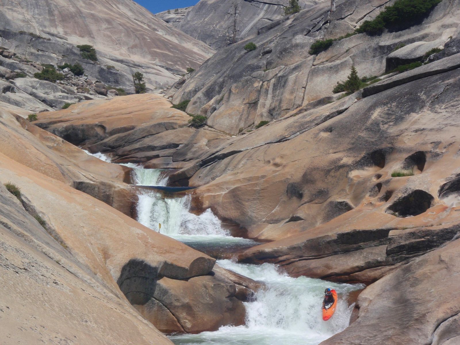
Best time to hike Poopenaut Valley: cooler months, since the descent is fully exposed
There’s no shade on this trail at any point, which turns a genuinely short hike into a real heat risk in summer, spring and fall, when temperatures are milder, are meaningfully safer windows than the middle of a hot Sierra foothill summer.
Carlon Falls Trail
This closes the list on the most accessible note of any trail in this guide, a genuine Yosemite waterfall you can hike to without paying the park’s entrance fee at all.
Trailhead access and parking at the Carlon Day Use Area, Evergreen Road
The trailhead sits in Stanislaus National Forest, just outside the actual Yosemite park boundary, a small day-use lot with a fee collected under a Forest Service concession, genuinely lower-key than any of the National Park Service trailheads in this guide.
Difficulty, distance and elevation gain to Carlon Falls
Figure roughly 3 to 4 miles round trip depending on source, with 200 to 400 feet of elevation gain along the South Fork Tuolumne River, an easy-to-moderate profile that’s genuinely manageable for most families.
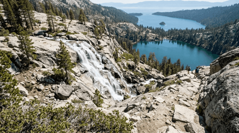
What you’ll see: a wide waterfall that crosses from national forest into the park
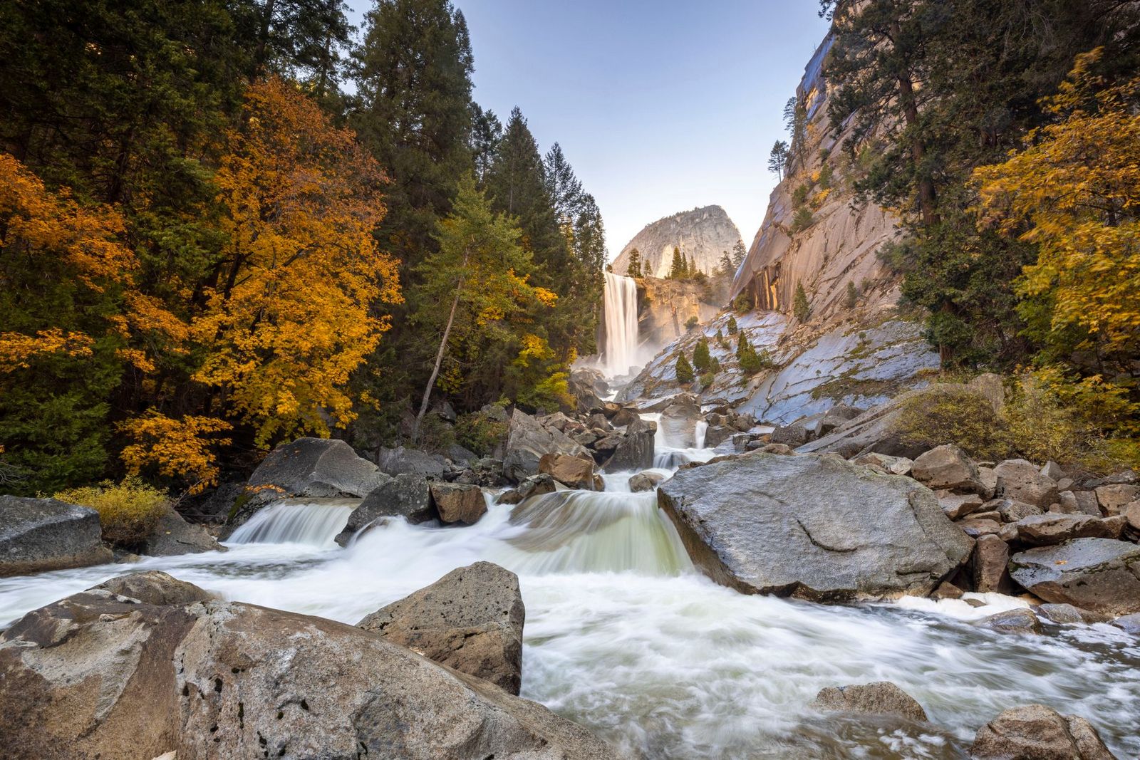
Here’s a detail worth getting right: it’s the trailhead that sits in Stanislaus National Forest, not the falls themselves, the trail crosses into Yosemite National Park a short distance in, and Carlon Falls itself is actually inside the park boundary. The falls are a broad, roughly 45-foot cascade on the South Fork Tuolumne River, with pools above and below that are genuinely popular for swimming in summer.
Best time to hike Carlon Falls: spring for peak flow, summer for wading
Spring delivers the strongest flow and wildflowers along the approach; by summer, flow drops but the pools warm up enough for real wading and swimming, giving this trail two distinct reasons to visit depending on when you go.
The bottom line
Start with the O’Shaughnessy Dam walk or Carlon Falls if you want something short and easy, and save Poopenaut Valley for when you’re specifically looking for a real physical challenge in a small package. Tuolumne Grove is the better sequoia stop if you’re pressed for time; Merced Grove is worth the extra effort if solitude matters more to you than convenience. This guide covers only the Big Oak Flat corridor within our full Tuolumne County hiking guide, for the Tioga Road high country on the opposite side of the park, see guide 1’s Tuolumne Meadows guide.
Frequently asked questions about hiking trails near Yosemite’s Big Oak Flat entrance, Tuolumne County
Do you need a reservation for Hetch Hetchy?
Not currently, Yosemite dropped its park-wide day-use reservation system for 2026. This has changed in past years, though, so check current park alerts before a summer trip specifically.
Is Hetch Hetchy the same as Yosemite Valley?
No, they’re two different, separate valleys within Yosemite National Park. Hetch Hetchy sits in the park’s northwestern corner and is now a reservoir; Yosemite Valley, the famous one with El Capitan and Half Dome, sits further south and was never dammed.
How many giant sequoia groves are in Yosemite?
Three: Mariposa Grove (the largest, near the park’s southern entrance), Tuolumne Grove, and Merced Grove, the latter two both covered in this guide.
Is Merced Grove less crowded than Mariposa Grove?
Yes, significantly, Merced Grove has no shuttle system, no timed entry, and a fraction of the visitors, making it the better choice if solitude matters more to you than seeing the single largest sequoia specimens.
Is Carlon Falls inside Yosemite National Park?
The falls themselves are, yes, but the trailhead sits just outside the park boundary in Stanislaus National Forest, which means you can hike to a genuine Yosemite waterfall without passing through a staffed park entrance gate.
Is Poopenaut Valley Trail hard?
Yes, disproportionately to its short distance. It’s widely considered the steepest trail in all of Yosemite National Park, though that’s an informal reputation rather than an official park designation, packing roughly 1,200 feet of elevation change into about a mile each way.