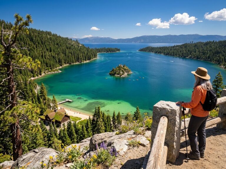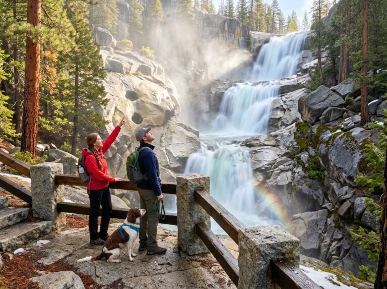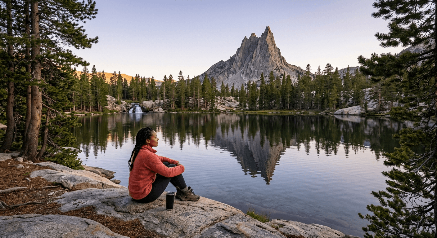
The 5 Best Hiking Trails Near Mammoth Lakes, From a Town-Adjacent Alpine Lake to a Waterfall with Its Own Rainbow
This is the flagship guide in a brand-new county for this series, and Hiking Trails Near Mammoth Lakes is the right place to start it: a mountain town where you can be standing at an alpine lake fifteen minutes after finishing breakfast. Here’s the short version: TJ Lake is the easiest, most convenient real alpine scenery in the entire Sierra, Duck Lake is the one to save for a full-day commitment, and Rainbow Falls is worth timing around midday specifically for the effect that gives it its name.
Disclosure: Please note that some of the links below are affiliate links and at no additional cost to you, I may earn a commission. Know that I only recommend hiking gear I personally stand behind; when you use my affiliate links, it helps me run this blog and keep all of this content free of charge for readers (like you).
Five trails anchor this guide, all reachable from the town of Mammoth Lakes itself: Twin Lakes/TJ Lake, Crystal Lake, Duck Lake via Duck Pass, Horseshoe Lake and McLeod Lake, and Rainbow Falls in Devils Postpile National Monument. I’ll give you the real shuttle logistics, distances, and current-season access details for each. This county has more moving pieces (seasonal shuttles, wilderness permits, road closures) than most, so getting those details right matters here more than usual.
Key takeaways
- Easiest true alpine payoff: TJ Lake, a short walk from the Lake George trailhead to a genuinely alpine lake beneath Crystal Crag.
- Best single-landmark pairing: Crystal Lake, a cirque lake sitting directly beneath the distinctive spire of Crystal Crag.
- The full-day commitment: Duck Lake, a demanding 9.5-mile round trip over an 10,800-ft pass into the John Muir Wilderness.
- Most unusual geology: Horseshoe Lake, a genuinely eerie landscape of standing dead trees, killed by volcanic CO2 seeping from beneath Mammoth Mountain.
- The one everyone’s searching for: Rainbow Falls, a 101-ft waterfall famous for the midday rainbow in its spray, reached via a mandatory summer shuttle.
- Every trail in this guide sits above 8,600 ft; altitude is a real factor here even on the easy trails. My guide to high-elevation hiking in the Sierra Nevada covers acclimatization basics worth reading before your trip.
Quick-glance comparison
| Trail | Distance (RT) | Elevation gain | Trailhead | Best for |
|---|---|---|---|---|
| TJ Lake | ~1.6 mi | ~200–300 ft | Lake George | Easiest true alpine payoff |
| Crystal Lake | ~1.75–2.7 mi | ~700–800 ft | Lake George | Cirque lake beneath Crystal Crag |
| Duck Lake (via Duck Pass) | ~9.5 mi | ~2,100–2,200 ft | Coldwater Campground | Full-day wilderness commitment |
| Horseshoe Lake / McLeod Lake | ~1.8–2 mi | Minimal | Horseshoe Lake | Volcanic geology, family-friendly |
| Rainbow Falls | ~4.5 mi | ~400 ft | Reds Meadow (shuttle required) | The namesake midday rainbow |
TJ Lake: the easiest true alpine payoff in the whole Sierra
This is the trail I’d send anyone who has an hour free and wants to understand why people fly across the country for the Eastern Sierra.
Trailhead access and parking at Lake George, Mammoth Lakes Basin
The trailhead is at the day-use area at Lake George, not Twin Lakes, a genuinely important distinction, since Twin Lakes is a separate, lower, car-accessible lake elsewhere in the basin with its own campground and lodge. Free parking, vault toilets at the trailhead.
Difficulty, distance, and elevation gain to TJ Lake
A genuine 1.6-mile round trip with 200 to 300 ft of gain, easy enough for an after-dinner walk, though the elevation (starting around 9,025 ft) means even easy trails here ask more of your lungs than the mileage suggests.
What you’ll see: a waterfall-fed lake basin minutes from town
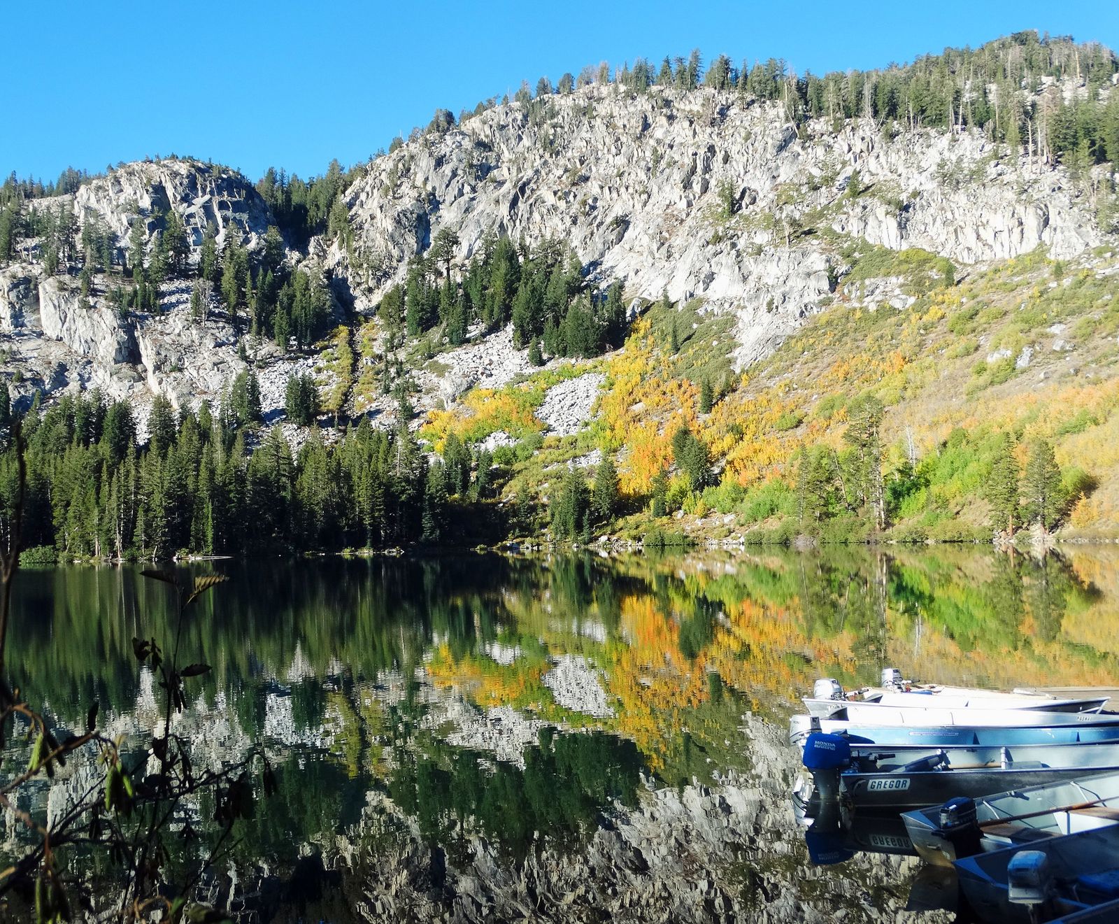
TJ Lake sits at 9,290 ft in a forest of lodgepole pine, with close-up views of Crystal Crag and the Mammoth Crest, a genuinely alpine setting reached in well under an hour from downtown Mammoth Lakes. Good fishing for rainbow trout, and secluded picnic spots along the shore.
Best time to hike TJ Lake: a reliable summer-through-fall option
Low elevation and short distance relative to the rest of this guide make this a dependable choice across most of the hiking season, typically clear well into fall.
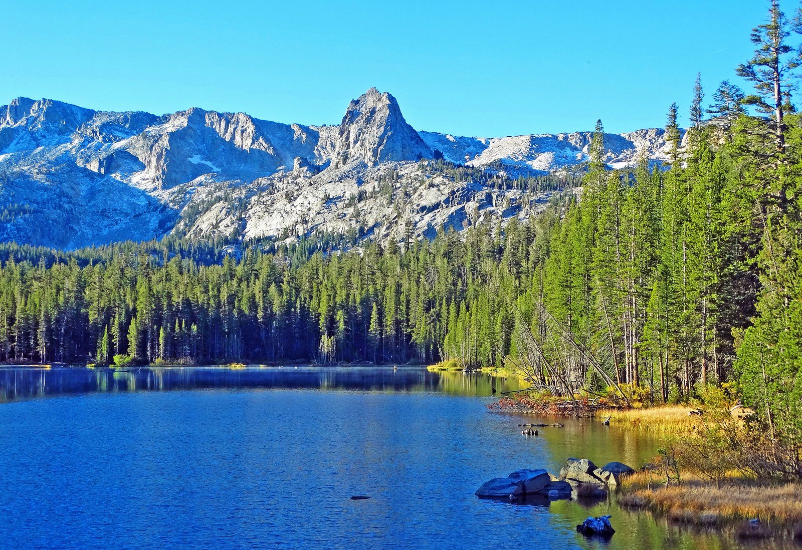
Crystal Lake Trail: a cirque lake beneath Crystal Crag
If TJ Lake is the warm-up, this is the natural next step, same trailhead area, real elevation, unmistakable scenery.
Trailhead access and parking at Lake George, Mammoth Lakes Basin
Same general parking area as TJ Lake, with the Crystal Lake trailhead at the opposite end of the lot.
Difficulty, distance, and elevation gain to Crystal Lake
Sources vary meaningfully here: shorter measurements put this at 1.75 miles with about 800 ft of gain, while others cite up to 2.7 miles for the same destination, a genuinely steep climb either way, gaining most of its elevation in the first mile.
What you’ll see: a cirque lake beneath Crystal Crag
A glacially carved cirque lake sits directly beneath Crystal Crag, a distinctive granite spire visible from much of the Mammoth Lakes Basin, topping out around 10,400 ft. Wilderness permits and bear canisters are required for backcountry camping here.
Best time to hike Crystal Lake: midsummer after snow clears the upper basin
This trail’s higher position in the basin means snow lingers here later into the season than at the lower TJ Lake trail; expect the upper sections to hold snow into June some years.
Duck Lake Trail: the full-day commitment
This is the trail to save for a day you’re genuinely ready to commit to, not an add-on to anything else in this guide.
Trailhead access and parking at Coldwater Campground, Mammoth Lakes
Free day parking at the southeastern end of Coldwater Campground, the gateway to Duck Pass and the John Muir Wilderness boundary, which the trail crosses within the first quarter mile.
Difficulty, distance, and elevation gain to Duck Lake via Duck Pass
Expect roughly 9.5 miles round trip with about 2,100 to 2,200 ft of gain, climbing past Arrowhead, Skelton, and Barney Lakes before topping out at Duck Pass around 10,800 ft, genuinely the longest, most demanding trail in this guide.
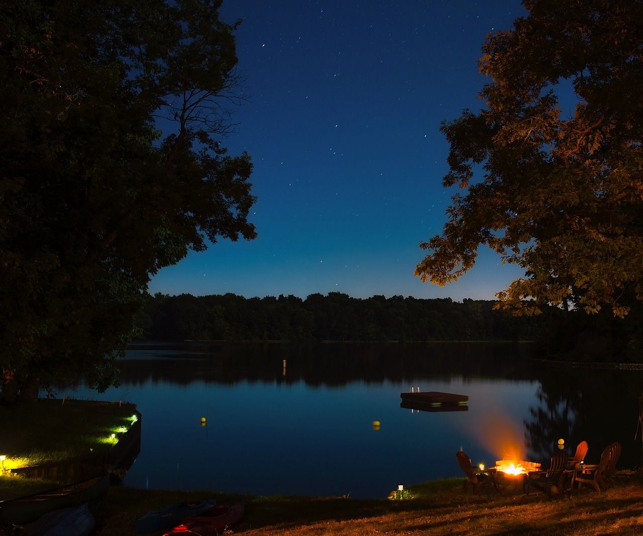
What you’ll see: a high alpine lake at the edge of the John Muir Wilderness
Duck Lake sits in a cirque of 11,000-ft peaks just beyond the pass, with the Silver Divide filling the skyline to the southwest, genuinely backcountry-feeling despite being a legitimate day hike from town. Continuing past Duck Lake eventually connects toward terrain covered in my Ansel Adams Wilderness guide.
Best time to hike Duck Lake: a full-day trip for the fittest hikers in this guide
Wilderness permits are required for overnight stays (day use doesn’t need one); this is a genuine early-start, full-day commitment, not a casual afternoon addition to your trip.
Horseshoe Lake & McLeod Lake Loop: an eerie, easy, family-friendly walk
This is the trail I’d send a family with young kids, and also the one with the strangest backstory in this entire guide.
Trailhead access and parking at Horseshoe Lake, Mammoth Lakes Basin
Free parking at the end of Lake Mary Road, the farthest-in trailhead of the basin’s main lake chain, also the starting point for the McLeod Lake and Mammoth Pass trails.
Difficulty, distance, and elevation gain on the Horseshoe Lake to McLeod Lake loop
A lap around the Horseshoe Lake loop itself runs about 1.8 miles, largely flat; the separate spur to McLeod Lake adds roughly 1 mile round trip with about 350 ft of gain if you continue on to it, easy either way, and easily combined into one outing.
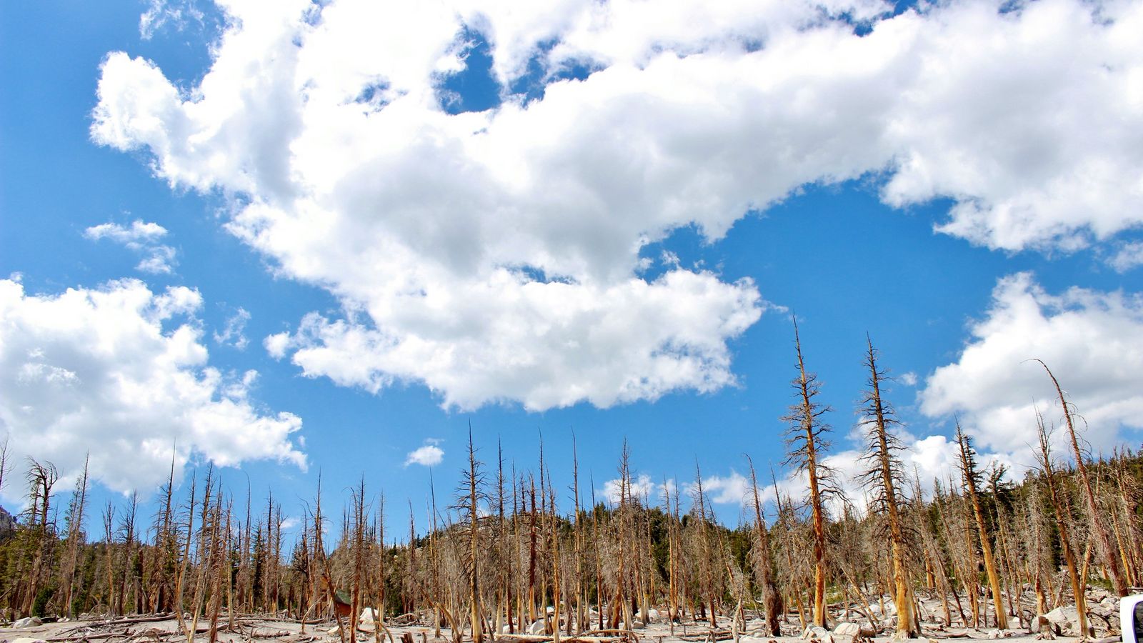
What you’ll see: a volcanically active lakeshore with standing dead trees
More than 170 acres of standing dead trees ring parts of Horseshoe Lake, killed by carbon dioxide seeping from cooling magma beneath Mammoth Mountain after a swarm of earthquakes in 1989–1990. It’s genuinely safe to hike here, though camping is prohibited due to ongoing CO2 emissions, and it’s worth not lingering in low, still depressions where gas can pool.
Best time to hike Horseshoe Lake: an easy, family-friendly basin walk
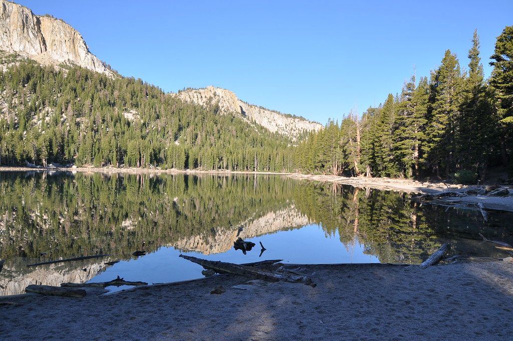
Flat terrain and easy access make this reliably manageable across the hiking season; in dry years, the lake itself can shrink dramatically by late summer, exposing sandy beach.
Rainbow Falls Trail: the waterfall with its own midday rainbow
This is the trail everyone’s actually searching for when they picture Mammoth Lakes’ waterfalls, and it comes with more logistics than anything else in this guide.
Trailhead access and parking via the Reds Meadow shuttle from Mammoth Lakes
A mandatory shuttle runs from the Mammoth Mountain Adventure Center down into Reds Meadow Valley through the main summer season, for 2026, running June 13 through September 20, with added Labor Day service. Fares run around $7 for adults and $4 for children over 3; children under 3 ride free.
Private vehicles are only permitted with an overnight reservation at Reds Meadow Resort or Campground (a $10 day pass otherwise). Note that several other Reds Meadow Valley campgrounds are closed for the entire 2026 season due to road reconstruction, though the shuttle and trail access themselves remain unaffected.
Difficulty, distance, and elevation gain to Rainbow Falls
A moderate 4.5-mile round trip from the Reds Meadow trailhead with about 400 ft of gain, genuinely easy relative to how much search demand this trail generates.
What you’ll see: a 101-foot waterfall known for its midday rainbow
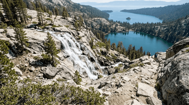
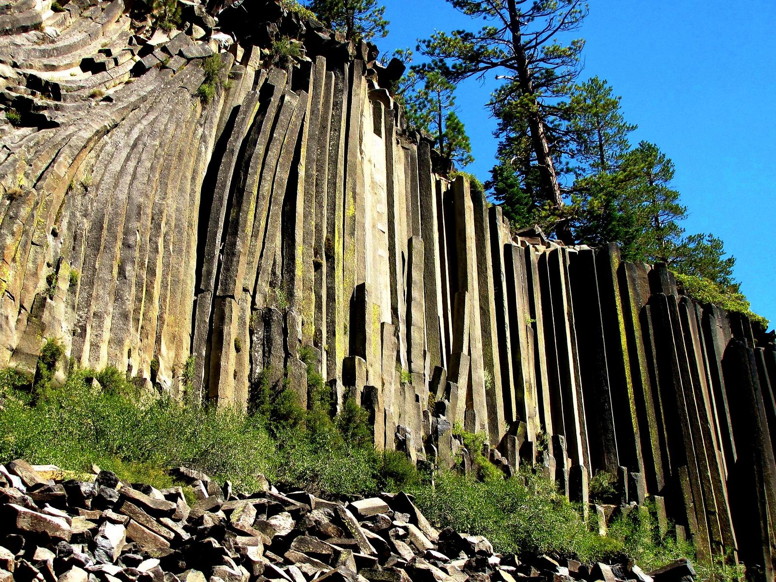
Rainbow Falls drops 101 ft on the Middle Fork San Joaquin River, inside Devils Postpile National Monument, famous specifically for the rainbow that forms in its spray around midday, when sun angle and mist align. A less-used path continues downriver to the smaller Lower Falls for those wanting to extend the trip.
Best time to hike Rainbow Falls: midday for the namesake rainbow effect
This is the one piece of timing advice that actually matters here: arrive early or late, and you’ll see a genuinely nice waterfall; arrive around midday on a sunny day, and you’ll see the rainbow the trail is named for.
The trail I’d actually start with
If you’ve only got one morning near Mammoth Lakes, hike TJ Lake first; it’s the fastest way to understand why this basin has the reputation it does, with almost none of the commitment. Crystal Lake is the natural next step once you want real elevation, and Duck Lake is the one to save for a day you can commit fully to. Rainbow Falls deserves its own trip specifically because of the shuttle logistics; don’t treat it as a quick add-on to a Lakes Basin morning.
Mammoth’s famous hot springs pair naturally with a day of hiking here; my guide to Mono County’s best hot springs and hiking combos covers that pairing in depth. For the county’s other flagship destinations, my guides to Eastern Sierra high-altitude trails and Mono Lake’s best trails, and the iconic Convict Lake trail round out the rest, or see the full Mono County hiking guide for everything in one place.
Frequently asked questions
Are hiking trails open in Mammoth Lakes?
Yes, generally from late spring or early summer through fall, though exact opening depends heavily on snowpack each year. Higher trails like Duck Lake and Crystal Lake typically clear later in the season than lower ones like TJ Lake and Horseshoe Lake.
Do you need a shuttle to reach Rainbow Falls?
Yes, during the main summer season, a mandatory shuttle runs from the Mammoth Mountain Adventure Center into Reds Meadow Valley. Private vehicle access is limited to those with an overnight Reds Meadow reservation, or available for a day-use fee once shuttle service ends for the season.
Is Rainbow Falls the tallest waterfall near Mammoth Lakes?
At 101 ft, it’s one of the taller and by far the most famous waterfall in the immediate area, thanks to its namesake midday rainbow effect, a genuine draw beyond just its height.
Is Duck Lake Trail hard?
Yes, genuinely, at roughly 9.5 miles round trip with 2,100 to 2,200 ft of gain to a nearly 10,800-ft pass, it’s the most demanding trail in this guide by a clear margin, requiring a full day and a real early start.
Is Devils Postpile part of Mammoth Lakes?
Not technically, Devils Postpile National Monument is a separate National Park Service unit in Reds Meadow Valley, reached from Mammoth Lakes via the mandatory summer shuttle, though it’s universally treated as part of a Mammoth Lakes trip given the shared access point.
Is Horseshoe Lake dog-friendly?
Yes, dogs are welcome on the trail, though it’s worth keeping them (and yourself) from lingering in low, still areas near the dead-tree zones where volcanic CO2 can pool at higher concentrations.