7 Winter Hiking Trails in California, No Snow Required
Most of California doesn’t shut down for winter; a handful of high-Sierra trails do, but the seven winter hiking trails in California below get better once summer heat breaks. Desert trails that are dangerous in July become pleasant in January.
Disclosure: Please note that some of the links below are affiliate links and at no additional cost to you, I may earn a commission. Know that I only recommend hiking gear I personally stand behind; when you use my affiliate links, it helps me run this blog and keep all of this content free of charge for readers (like you).
Coastal trails pick up gray whale migration and dramatic storm light. One even reverses the usual seasonal-avoidance logic entirely: it’s the single most extreme example on this list of a trail that’s risky in summer and ideal in winter.
Key takeaways:
- Most dramatic seasonal flip: Golden Canyon in Death Valley goes from potentially fatal heat in summer to one of the most pleasant desert hikes in the state come winter.
- Best wildlife bonus: Torrey Pines and Point Reyes both put you in prime position for winter gray whale migration.
- Most underrated: Borrego Palm Canyon is better in winter than during the spring wildflower season most people plan around.
- Honest trade-off to know upfront: two entries here have current access issues: Torrey Pines has a construction closure that may run through much of this winter, and Runyon Canyon’s West Trail is closed with no announced reopening date. Both are covered below rather than glossed over.
| Trail | County | Distance | Winter daytime temp | Fee |
|---|---|---|---|---|
| Borrego Palm Canyon | San Diego | ~3 mi RT | 55–70°F | $10/vehicle |
| Torrey Pines (Guy Fleming Trail) | San Diego | 0.7 mi loop | 60–65°F | $10–25/vehicle |
| Cottonwood Spring | Riverside | 0.1–1.5 mi | 70–90°F day / 40s–60s°F night | $30/vehicle (park entry) |
| Runyon Canyon | Los Angeles | 2.8–3.5 mi loop | 60–68°F | Free |
| Tomales Point | Marin | 2–9.5 mi | 50–60°F, variable | Free |
| Golden Canyon | Inyo | 2–7.8 mi | 60–70°F | $30/vehicle (park entry) |
| Vernal Pool Trail, Santa Rosa Plateau | Riverside | 3.4 mi loop | 55–65°F | $6 adult / $3 child |
Borrego Palm Canyon Trail, Anza-Borrego Desert State Park (San Diego County)
Why it made this list: winter is the ideal season for this desert trail
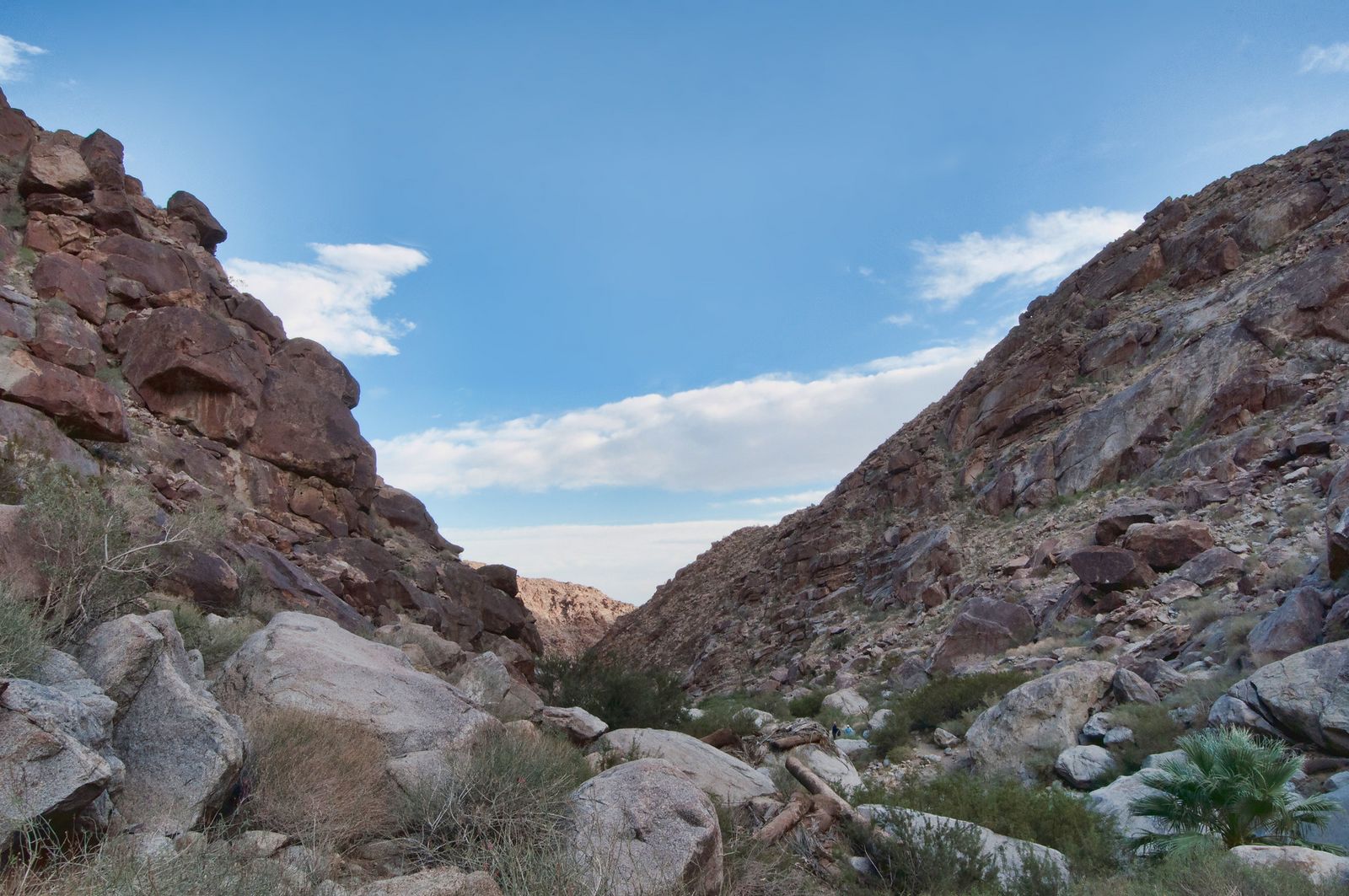
Most people plan their Anza-Borrego trip around the spring wildflower bloom, but winter is when this trail is at its best: cooler temperatures, a chance of spotting desert bighorn sheep along the canyon walls, and none of the heat that makes summer here dangerous. It’s roughly a 3-mile round trip and a more comfortable season.
Practical tips: access and best timing
Winter daytime highs typically run 55–70°F, dropping into the 30s and 40s at night, so layers matter more than sun protection here. The park’s $10 vehicle day-use fee applies; the first palm grove has been closed since a 2020 fire, so the trail currently ends at a viewpoint rather than continuing into the oasis. December through February is the quietest, most comfortable window before spring bloom crowds arrive.
Torrey Pines State Natural Reserve (San Diego County)
Why it made this list: mild coastal temperatures year-round
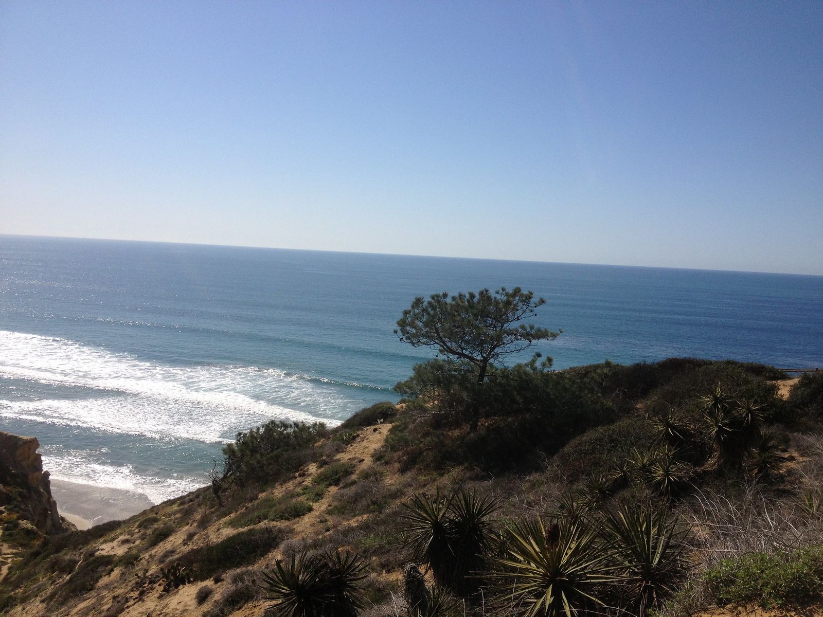
San Diego’s famously mild winter rarely drops enough to affect trail comfort here, and winter adds a bonus: gray whale migration, visible from Razor Point and the Guy Fleming Trail’s overlooks without needing binoculars on a clear day. Peak migration runs January and February, exactly when this list recommends visiting.
Practical tips: access and best timing
Torrey Pines undergoes periodic seasonal maintenance and trail construction (with Phase II impacting parts of the reserve through early 2027), per the official California State Parks project page. While the beach paths and select overlooks usually remain accessible, it is a good habit to check current status before heading out.
The South Beach and North Beach parking lots and Torrey Pines State Beach itself are expected to stay open regardless, but check current status before you drive out; our trail closures guide is a good habit for exactly this kind of situation. For more San Diego coastal options while you wait for full reopening, see our San Diego coastal trail guide.
Cottonwood Spring Oasis, Joshua Tree National Park (Riverside County)
Why it made this list: desert trails without summer’s extreme heat risk
Joshua Tree’s south end sees summer temperatures well above 100°F, hot enough to be dangerous; winter flips that entirely.
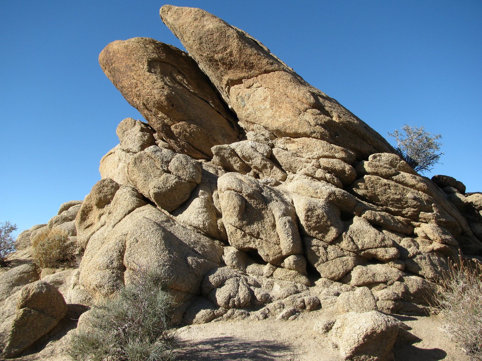
Cottonwood Spring’s short walk to a spring-fed oasis of fan palms and cottonwoods, per the National Park Service, is a comfortable stroll rather than a heat-management exercise once the season turns.
Practical tips: access and best timing
The core oasis walk is just 0.1 miles; a longer 1.5-mile loop tours the wider Cottonwood Spring area, with Mastodon Peak (3 miles) and Lost Palms Oasis (7.5–8 miles round trip) as longer extensions from the same trailhead. Joshua Tree’s entrance fee is $30 per vehicle. Winter days here typically run 70–90°F, pleasant, but nights can still drop into the 40s or below, so layer up if you’re camping nearby. For more of the area, see our Joshua Tree gateway trail guide.
Runyon Canyon Park Loop Trail (Los Angeles County)
Why it made this list: mild LA winters keep this trail comfortable and green
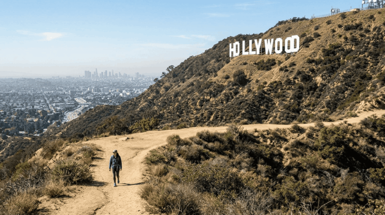
Runyon Canyon is famously shadeless and exposed, which makes it a heat-caution entry the rest of the year and a comfortable one once summer passes: the hills stay greener, and the trail’s notorious lack of shade stops being a liability. It’s free, dog-friendly (much of it off-leash), and the single most-recommended first hike in LA for a reason.
Practical tips: access and best timing
The full Runyon Canyon hiking trail loop runs 2.8 to 3.5 miles with 750–900 feet of gain, taking most hikers 1.5–2 hours; a shorter 1.6-mile out-and-back to the main viewpoint works if you’re short on time. Runyon Canyon parking is street parking only near the Fuller Avenue entrance and fills up fast, so arrive before 8 a.m. on weekends if you want an easy spot.
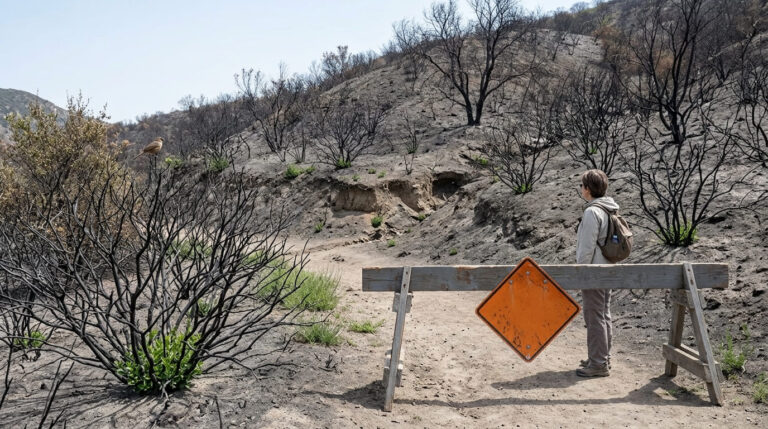
One current caveat: the West Trail is closed as of this writing with no announced reopening date, so plan your route via the East Trail side. Winter mornings here run 60–68°F, ideal hiking weather without the summer crowds jockeying for shade that doesn’t exist. For more Los Angeles options, see our Runyon Canyon and Griffith Park trail guide.
Point Reyes National Seashore (Marin County)
Why it made this list: winter storms bring dramatic coastal scenery and whale watching
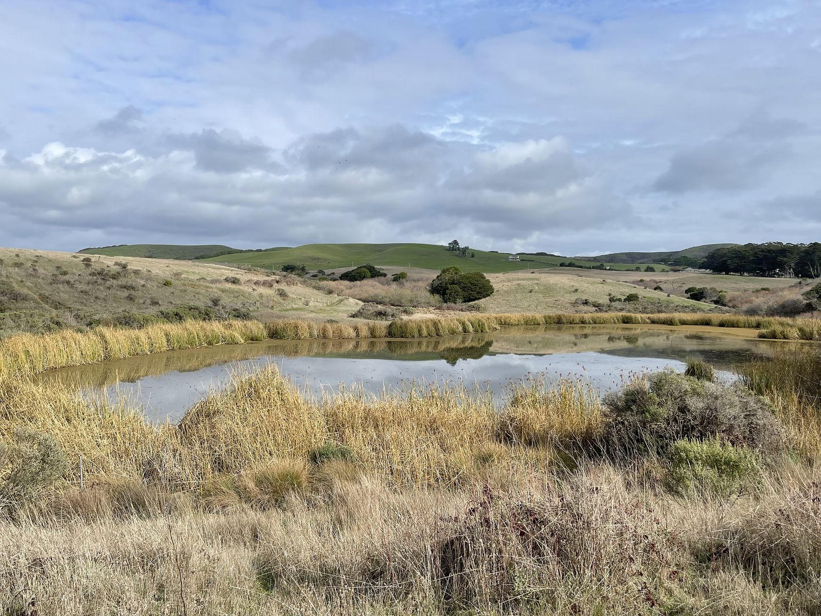
Tomales Point, at the seashore’s northern tip, is better in winter by the National Park Service’s own description: “majestic, clear views” on good days, plus gray whale migration offshore.
Tule elk are visible along the Tomales Point Trail year-round. While their dramatic bugling and rutting peak in late summer and autumn rather than winter, spotting the herd against crisp coastal backdrops remains a major winter highlight.
Practical tips: access and best timing
The full Tomales Point Trail runs up to 9.5 miles round trip and gets sandy and overgrown past the first 3 miles; a shorter 2-mile round trip to Windy Gap covers the easiest elk-viewing stretch. It’s free, with no permit needed.
Winter storms here are the trade-off: surf and wind can turn dangerous on exposed bluffs, so check conditions and never turn your back on the ocean; our water hazards guide covers sneaker-wave and storm-surf risk in more depth. On a clear winter day between storms, this is one of the best-looking trails on this entire list. For more of the park, see our Muir Woods and Point Reyes trail guide.
Golden Canyon Trail, Death Valley National Park (Inyo County)
Why it made this list: the one season Death Valley is comfortable to hike
Death Valley is the hottest place on Earth in summer: a 71-year-old hiker died here from heat exposure on a 121°F afternoon in 2023, on this exact trail.
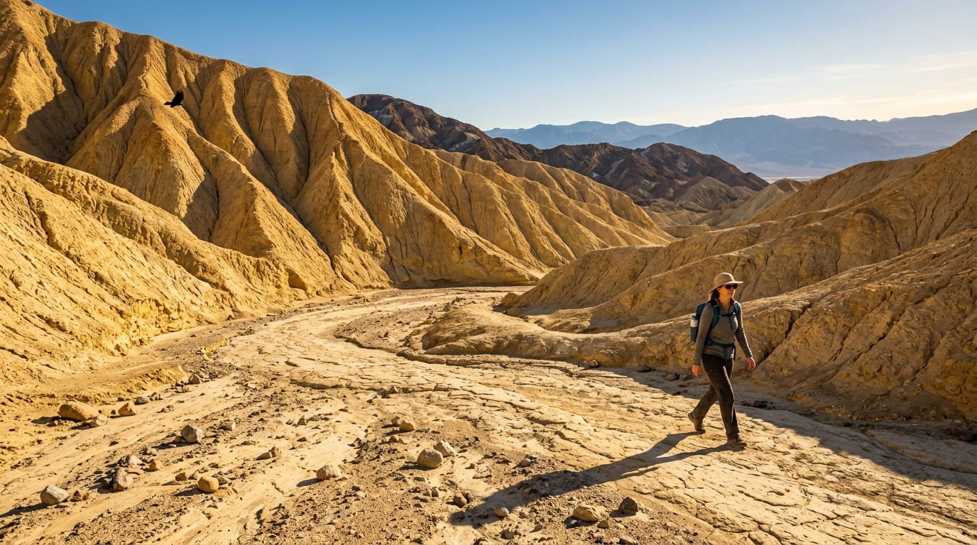
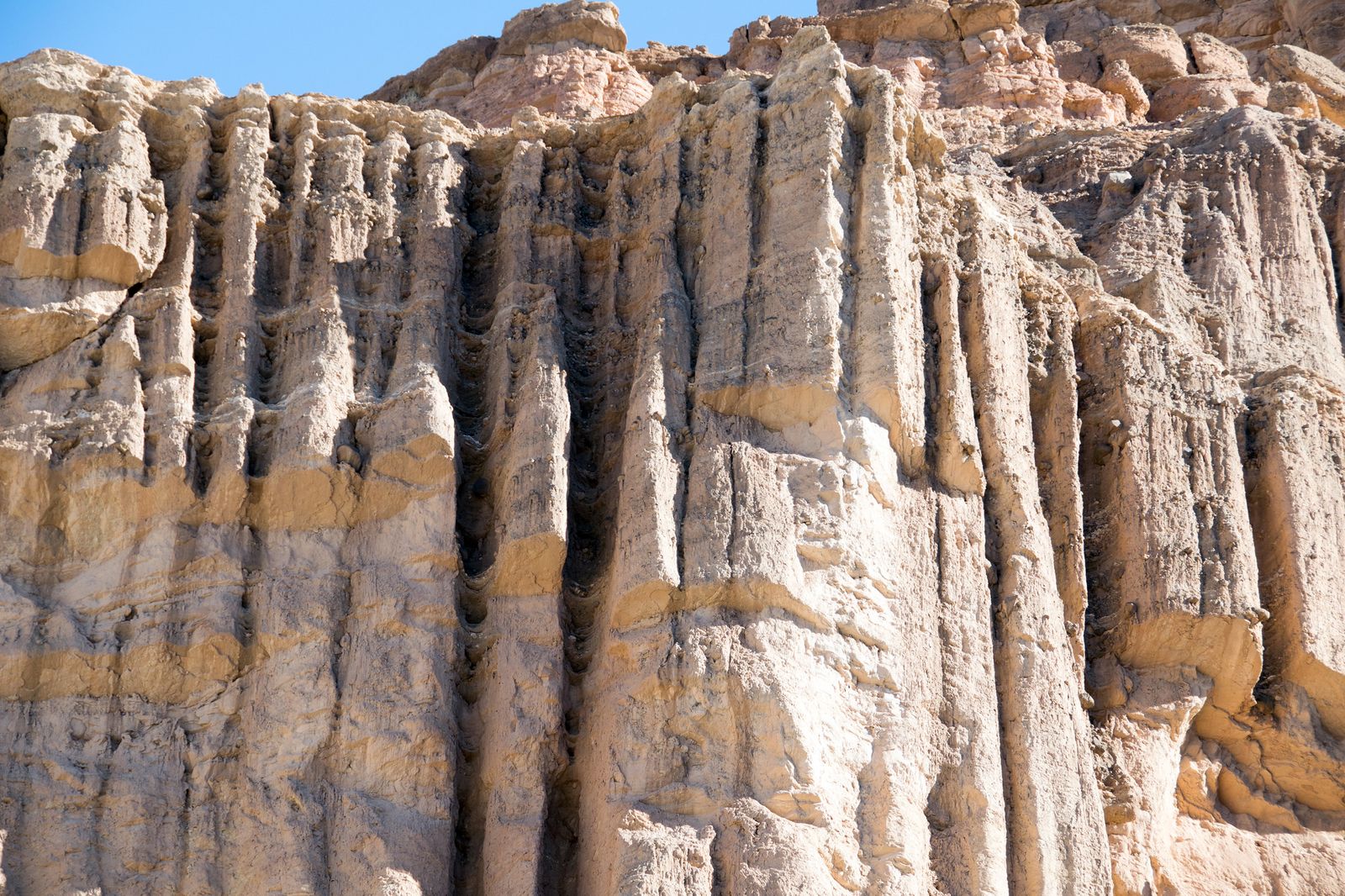
Winter is the complete opposite experience: comfortable daytime temperatures, the same golden mudstone canyon walls and Red Cathedral formation, without the danger. This is the single clearest example on this list of a trail that goes from dangerous to ideal depending entirely on the season.
Practical tips: access and best timing
Per the National Park Service, round-trip length ranges from 2 to 7.8 miles depending on which route you choose: the short out-and-back to the canyon mouth, the Red Cathedral scramble extension, or the longer Gower Gulch loop. Elevation gain runs 535–834 feet depending on route. Death Valley’s entrance fee is $30 per vehicle.
Winter daytime temperatures typically run 60–70°F, comfortable, though nights can be cold, so bring layers for early starts. Parking is a paved lot off Badwater Road; there’s no shade anywhere on this trail, so even a mild winter day rewards an early start. For more of the park, see our Death Valley trail guide.
Vernal Pool Trail, Santa Rosa Plateau Ecological Reserve (Riverside County)
Why it made this list: winter rain fills the reserve’s namesake vernal pools
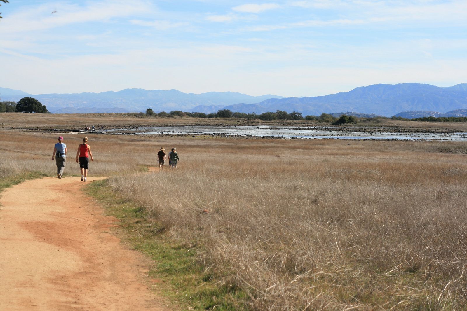
This is the trail’s origin story, not its finale: the seasonal vernal pools that define this reserve only fill after winter rain, months before the fairy shrimp and spring wildflowers covered in our spring wildflowers guide appear. Visiting in winter means watching the reserve set up for spring rather than missing the show.
Practical tips: access and best timing
The Vernal Pool Trail is the same easy 3.4-mile loop covered in that spring guide: about 300 feet of elevation gain, roughly 90 minutes at a relaxed pace, $6 adult / $3 child entry. The difference is timing: visit anytime from December through February, and you’ll see the pools actively filling and receding with each storm, a different experience from the springtime bloom crowds.
The honest bottom line
If you only do one, make it Golden Canyon, since nowhere else on this list shows a more dramatic before-and-after between seasons and if you need holiday shopping inspiration for hikers, our seasonal guide covers plenty of ideas. And if you are shopping for the outdoor enthusiast in your life, our guide on curated presents for female hikers offers plenty of inspiration.
But the value of this list is realizing California’s winter hiking calendar isn’t a consolation prize for skipping the Sierra: several of these trails are objectively better right now than they are in their “peak” season. Just build in a status check for Torrey Pines and Runyon Canyon before you go, as both have current access issues that could affect your plans.
Frequently asked questions about winter hiking trails in California with no snow
Can you hike in California in winter?
Yes; outside the high Sierra and other snow-elevation trails, most of California’s desert, coastal, and low-elevation trails are open and often more comfortable in winter than in summer.
What parts of California are snow-free in winter?
Low-elevation deserts (Anza-Borrego, Joshua Tree, Death Valley), coastal Southern California, and most trails below roughly 5,000 feet typically stay snow-free through winter, though a rare cold snap can bring brief snow even to low elevations.
Is desert hiking better in winter than summer?
For most Southern California desert parks, yes, decisively; summer temperatures can be dangerous or fatal, while winter daytime highs are typically in the comfortable 60s and 70s.
Do California trails close for winter?
Some do; high-elevation Sierra trails and roads like Tioga Road close for snow, but most low-elevation and coastal trails stay open year-round, aside from occasional storm-related or maintenance closures like the ones covered above.
What should you wear hiking in California in winter?
Layers are the key rule: a warm layer for cold mornings and nights, something breathable for the afternoon warm-up, and a windproof shell for exposed coastal or desert trails where wind chill matters more than the thermometer suggests.
Is Southern California hiking good year-round?
Largely yes; Southern California’s mild climate means most low-elevation trails are hikeable in every season, though summer desert heat and occasional winter storms are the two exceptions worth planning around.