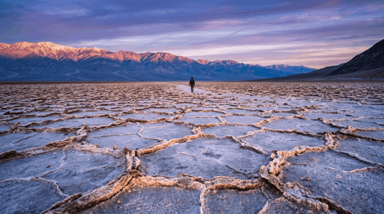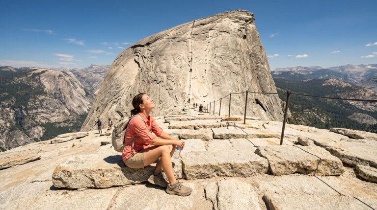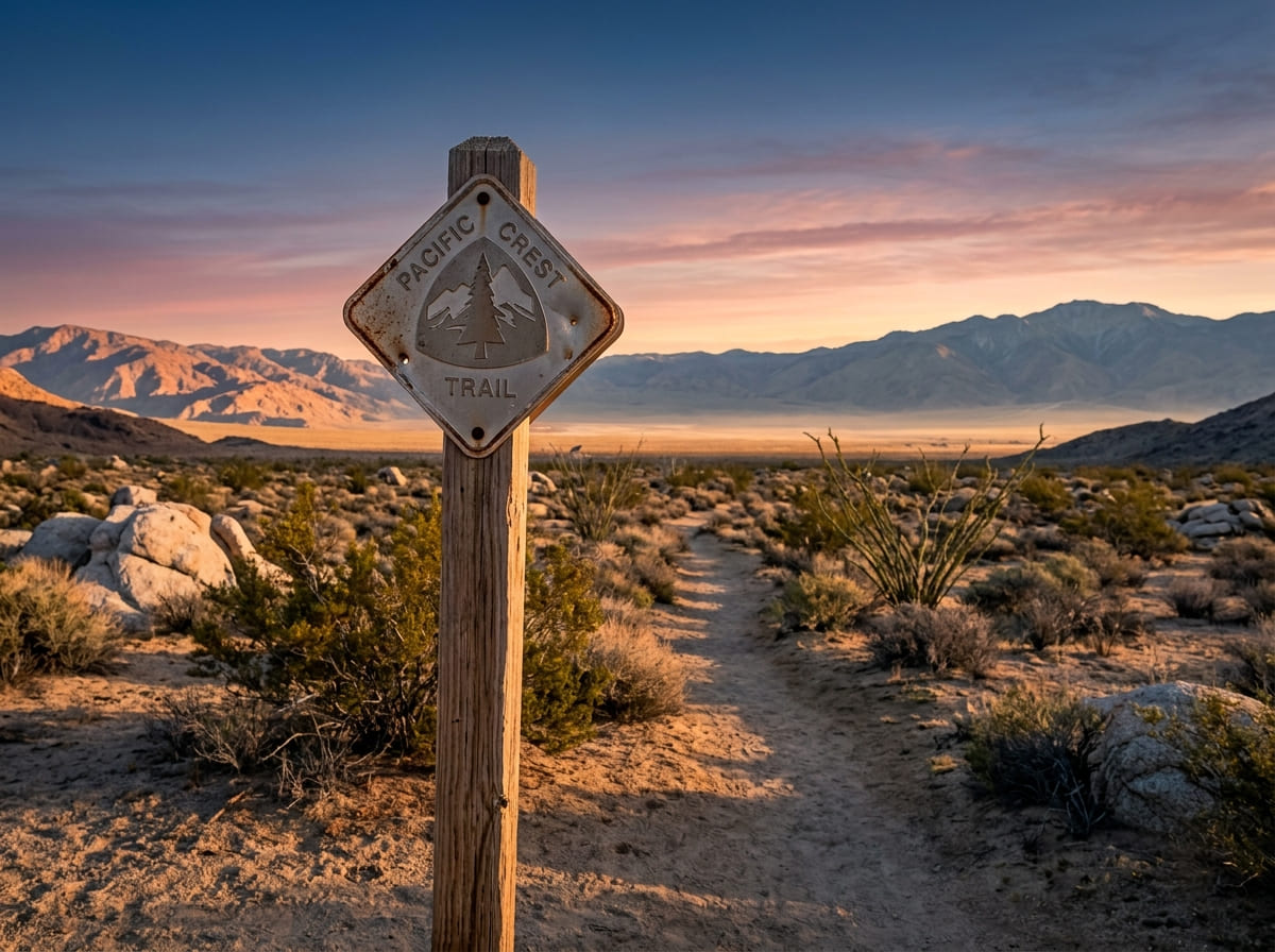
Pacific Crest Trail California Guide: Permits & Timing
California carries roughly two-thirds of the Pacific Crest Trail’s total mileage, about 1,700 of its 2,650 miles, which means most of what makes the PCT famous, and most of what makes it hard, happens inside one state. To help with your trip preparation, we’ve rounded up several essential hiking books and guidebooks. You’ll cross bone-dry desert for the first 700 miles, climb into the same High Sierra terrain covered in our John Muir Trail guide for roughly 300 more, and finish with another 700 miles of Northern California forest and volcanic country before you ever reach Oregon.
Disclosure: Please note that some of the links below are affiliate links and at no additional cost to you, I may earn a commission. Know that I only recommend hiking gear I personally stand behind; when you use my affiliate links, it helps me run this blog and keep all of this content free of charge for readers (like you).
Whether you’re planning the full thru-hike or just California’s share of it, the state’s three sections each demand a completely different kind of planning.
This guide breaks the Pacific Crest Trail California into those three sections, walks through the permit system (which works differently depending on whether you’re thru-hiking or section-hiking), covers the desert’s single hardest planning problem, water, and gets into timing, gear, and what the trip actually costs.
Key Takeaways
- California is roughly 1,700 of the PCT’s 2,650 miles, split into a ~700-mile desert section, a ~300-mile High Sierra section, and a ~700-mile Northern California section.
- The Sierra section overlaps heavily with the JMT, with close to 160 miles of shared tread, so the permit and snow considerations from our JMT guide apply here too.
- Water, not distance, is the desert’s real challenge; carries of 20-30+ miles between reliable sources are routine, and water caches should never be your backup plan.
- A thru-hike needs the PCT Long-distance Permit, a free, quota-limited permit from the Pacific Crest Trail Association (PCTA); section hikers usually need standard wilderness permits instead.
- “Kickoff” is a tradition, not an event you can still attend; the organized Lake Morena gathering ended after 2017, though the late-April start window it popularized still shapes how most northbound hikers time their trip.
- Sierra snow risk is unpredictable year to year; even within a single season, conditions can swing from above-average to a rapid-melt drought in a matter of weeks.
California’s three PCT sections: desert, High Sierra, and NorCal
The PCT enters California at Campo, near the Mexican border, and doesn’t leave the state until it crosses into Oregon roughly 1,700 miles later.
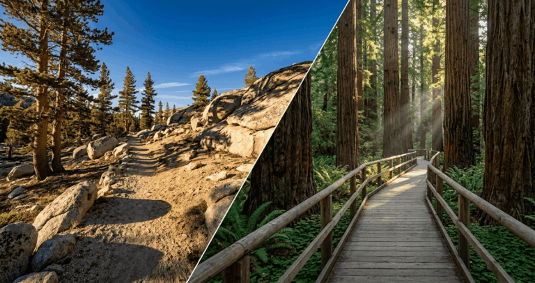
Trail veterans generally talk about it in three distinct chunks, and I think that’s the right way to plan it too; each section has its own terrain, its own risks, and, in the Sierra’s case, its own separate permit conversation.
The Southern California desert section: Mexico to Kennedy Meadows South
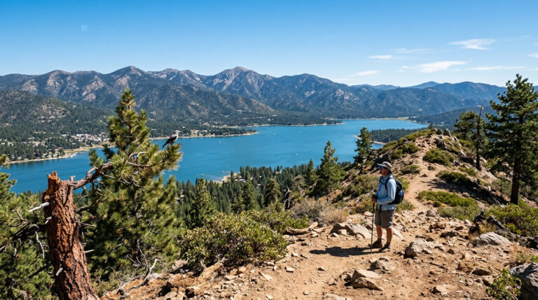
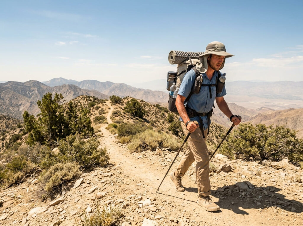
The first roughly 700 miles run through chaparral, high desert, and exposed ridgelines, climbing through the San Jacinto Mountains near Idyllwild before dropping to cross Interstate 10 at San Gorgonio Pass, then climbing again toward Big Bear Lake and the San Bernardino Mountains.
It’s the section every hiker remembers for the heat, not the elevation; daytime temperatures regularly climb past 90°F, and water availability, not trail difficulty, is what actually dictates your daily mileage here.
The High Sierra section: Kennedy Meadows to Sonora Pass
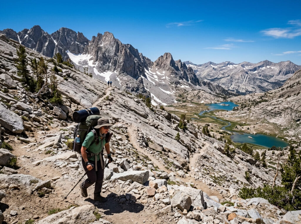
Around mile 700, the desert ends and the trail climbs into the Sierra Nevada, and for roughly the next 300 miles, you’re hiking terrain that shares tread with the John Muir Trail for close to 160 miles.
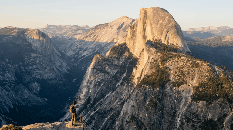
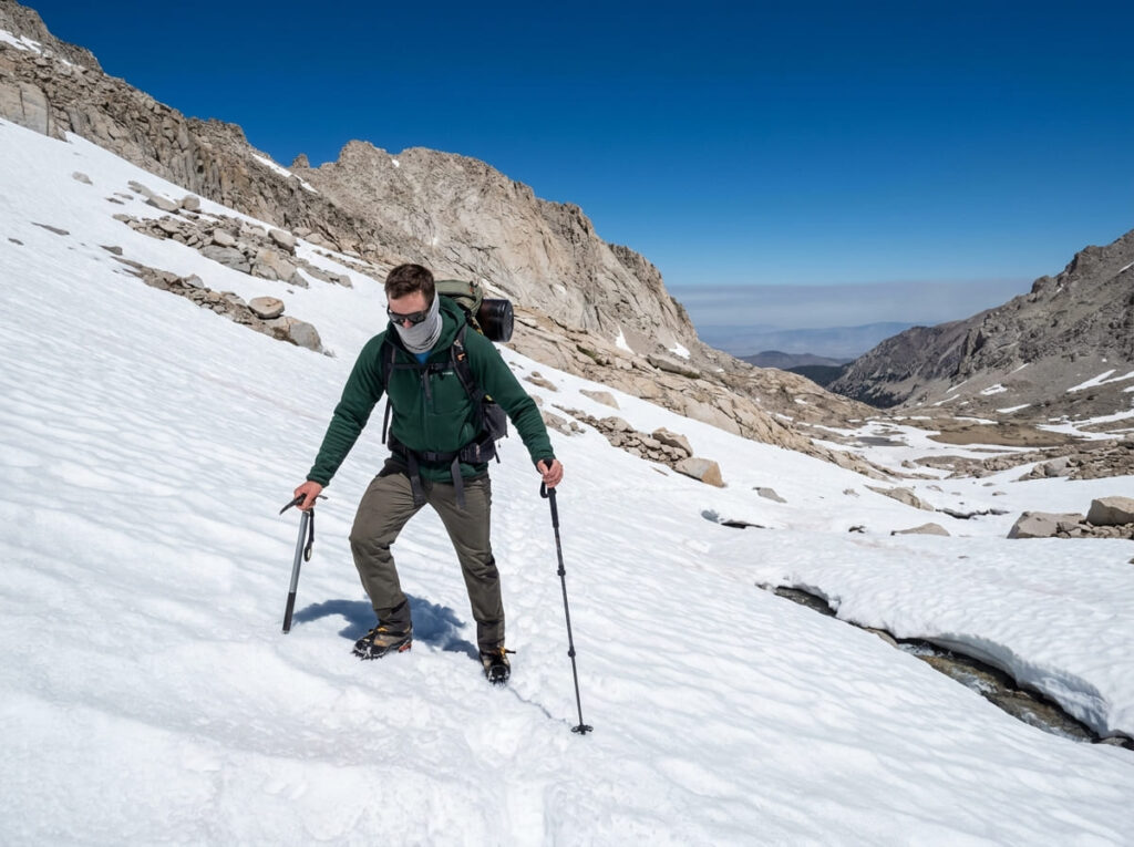
This is widely considered the most scenic stretch of the entire PCT, and also the most snow-dependent: passes above 11,000 feet that melt out reliably by July in an average year can hold dangerous snow well into that month, or later, in a heavy winter.
The Northern California section: Sonora Pass to the Oregon border
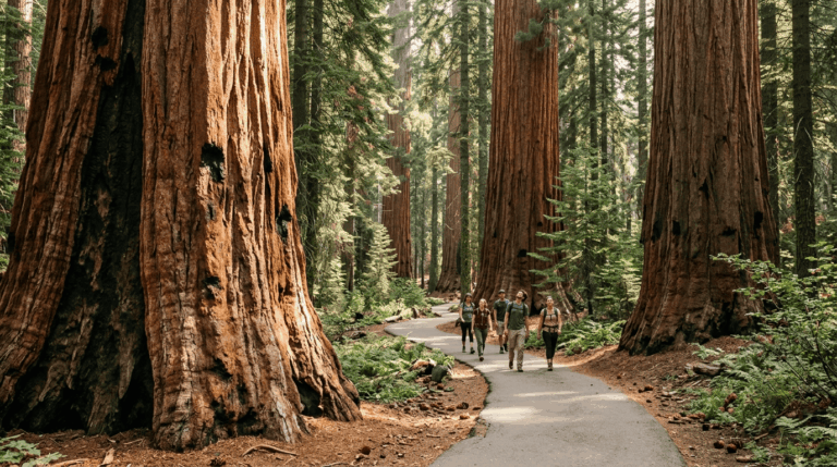
The final roughly 700 miles of California PCT run through the southern Cascades, passing near Lassen Volcanic National Park, the granite spires of Castle Crags, and the McCloud River area covered in our fall-color trail guide, before climbing into the Klamath Mountains near the Oregon border.
It’s a quieter, more forested stretch than the desert or the Sierra, but it has its own water problem: Hat Creek Rim, one of the longest dry stretches on the entire PCT, runs nearly 30 miles without a reliable source.
California PCT Sections at a Glance
| Section | Approx. Mileage | Terrain | Biggest Planning Challenge |
|---|---|---|---|
| Southern CA Desert (Mexico to Kennedy Meadows South) | ~700 mi | Chaparral, high desert, exposed ridgelines | Water, carries of 20-30+ miles between reliable sources |
| High Sierra (Kennedy Meadows to Sonora Pass) | ~300 mi | Alpine passes above 10,000-11,000 ft; shares ~160 mi with the JMT | Snowpack and creek fords, especially in high-snow years |
| Northern California (Sonora Pass to the Oregon border) | ~700 mi | Volcanic terrain near Lassen, dense forest | Remoteness and long dry stretches like Hat Creek Rim (~30 mi) |
Permits: what thru-hikers need versus what section hikers need
The PCT’s permit system splits cleanly into two tracks, and mixing them up is one of the most common planning mistakes I see.
If you’re covering 500 or more continuous miles, you need one document. If you’re section-hiking, you’re usually back in the same individual-permit system covered in our statewide wilderness permits guide.
How the PCT Long-distance Permit actually works
Anyone hiking or riding 500-plus continuous miles of the PCT needs a PCT Long-distance Permit, issued free by the Pacific Crest Trail Association on behalf of the Forest Service.
As of the 2026 permit cycle, northbound thru-hike permits are capped at 50 per day for hikers starting south of Sonora Pass, with no permits issued for a June start, and the northbound thru-hike window running March 1 through May 31 only.
You have to register before each permit release; the PCTA typically opens registration in October and releases permits in two phases, one in mid-November and a second, smaller batch in mid-January, and you’re assigned a randomized application time on release day rather than a first-come-first-served scramble.
The Long-distance Permit also carries built-in allocations for the JMT-overlap section: roughly 1,400 permits each year specifically for hikers whose PCT route overlaps the John Muir Trail corridor, separate from the main thru-hiker quota.
If your plans only involve that overlapping stretch, it’s worth reading the permit section of our JMT guide as well, since the Yosemite-side wilderness permit system intersects with this one.
What you need if you’re only hiking a California section
Section hikers doing fewer than 500 continuous miles generally don’t use the Long-distance Permit system at all; you’re back to the individual wilderness permits required by whichever land manager oversees that stretch (Cleveland National Forest in the far south, Inyo National Forest and Yosemite in the Sierra, Shasta-Trinity or Klamath National Forest up north).
About a third of the PCT’s total length runs through areas with some kind of permit requirement, so don’t assume a shorter trip means no paperwork; check the specific trailhead before you go.
PCT Permit Options at a Glance
| Situation | Permit Needed | Where to Apply | Key Limit |
|---|---|---|---|
| Northbound thru-hike, 500+ continuous miles starting south of Sonora Pass | PCT Long-distance Permit | PCTA (free) | 50/day; no June starts; window is March 1–May 31 |
| Section hike overlapping the JMT corridor | Long-distance Permit (JMT allocation) or individual Yosemite/Inyo wilderness permit | PCTA or Recreation.gov | ~1,400 JMT-overlap permits, separate from the main thru-hiker quota |
| Section hike starting in the Southern Sierra | Individual wilderness permit | Recreation.gov (relevant land manager) | ~600 permits at eligible Southern Sierra trailheads |
| Shorter section hike elsewhere on the CA corridor | Standard wilderness permit, or none | Local National Forest/Park office | Varies by location; roughly a third of the trail requires some permit |
Water in the desert section: the trail’s hardest planning problem
Nobody fails a PCT thru-hike because the desert is too hilly. They struggle because of water, and the planning habits that work fine on a weekend trip fall apart fast across a 700-mile stretch where some gaps between reliable sources run 30 miles or more.
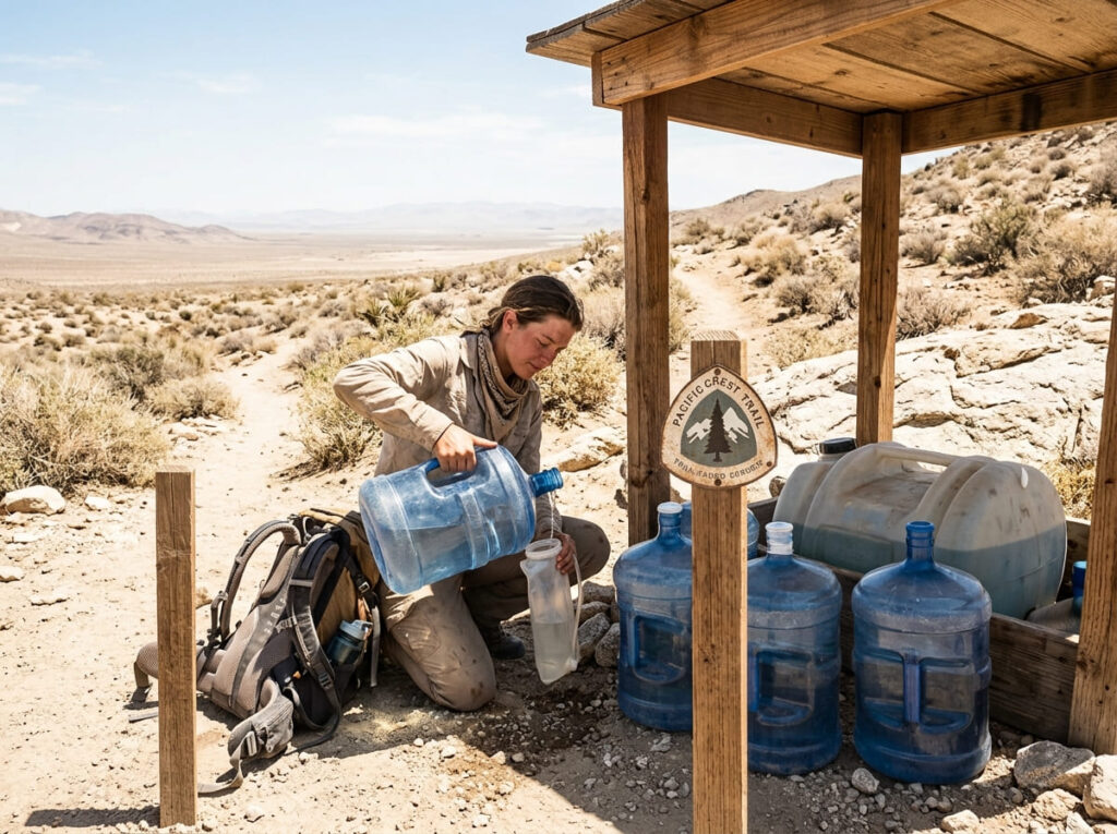
Water caches: real, but never something to count on
Trail angels do maintain water caches along the desert section, and in a normal year you’ll pass several. But the Pacific Crest Trail Association’s own guidance is direct on this: water caches should never be depended upon.
They’re unofficial, often technically against land-management rules, and there’s no guarantee one will be stocked, or even still there, when you arrive. I’d treat every cache as a bonus, never as the reason you’re carrying less water than the distance requires.
Planning your carries around natural sources instead
The safer approach, and the one PCTA itself recommends, is to plan your water carries around the current PCT Water Report and known natural sources, not caches.
That means carrying more weight through the driest stretches, checking trail-condition updates close to your hike date rather than relying on last year’s information, and being honest with yourself about your consumption rate in 90°F-plus heat.
Hat Creek Rim in the Northern California section deserves the same respect: it’s one of the longest dry stretches on the entire PCT at close to 30 miles, and it’s easy to underestimate simply because it doesn’t carry the desert’s reputation.
When to start: timing a northbound thru-hike through California
The kickoff window, and why the old April tradition still matters
For years, “PCT Kickoff” referred to an actual event, the Annual Day Zero Pacific Crest Trail Kick Off (ADZPCTKO), a late-April gathering at Lake Morena that brought together hundreds of that year’s northbound hikers before the organized event wound down after 2017 as trail numbers grew past what a single weekend gathering could reasonably support.
Many older trail guides still describe the Kickoff as an ongoing event, but the organized gathering ended in 2017.
What survives is the timing logic behind it. Most northbound thru-hikers still cluster their start dates in a window centered on late April, for the same two reasons that made Kickoff’s original date make sense: starting earlier means brutal desert heat with no shade, and starting too late risks arriving in the Sierra before the snowpack has cleared enough to cross safely.
Snow risk in the Sierra section
This is the one variable that can override every other part of your schedule, and it’s hard to predict months in advance.
The 2026 season is a good real-world example: Sierra snowpack was tracking above average as of mid-January, then a warm, dry stretch through February and March triggered rapid melt, and by spring some reporting described conditions as approaching historically low.
That’s not an unusual swing; it’s a reminder that snowpack is dynamic well into spring, and a forecast made in January shouldn’t be treated as settled fact by June.
In a heavy-snow year, hikers commonly respond by starting later in May to let the pack consolidate, slowing their pace through the Sierra, or flip-flopping, skipping ahead to hike Northern California or Oregon first and returning to the Sierra once conditions improve.
Check the PCTA’s current snow conditions before you lock in a Sierra entry date, not months beforehand.
Gear and boots: what holds up for 1,700 miles of California trail
Trail runners vs. boots for this much mileage
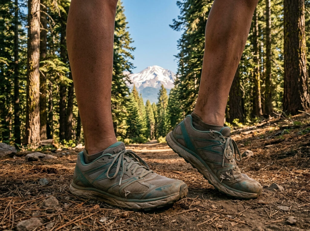
The same logic that applies to the JMT applies here, only amplified; most PCT thru-hikers land on lightweight trail runners rather than traditional boots, echoing the Altra Lone Peak recommendation in our hiking boots guide.
Across 1,700 miles of California terrain alone, a stiff boot that never fully breaks in causes more blisters than it prevents, and most hikers would rather replace a pair of trail runners at a resupply stop than nurse a boot-related injury for weeks.
What does hiking the Pacific Crest Trail actually cost?
For 2026, current thru-hiker cost estimates put full-trail spending (Mexico to Canada, not counting pre-trip gear) at roughly $10,000–$10,700 per person, or about $4.30 a mile, based on recent thru-hiker spending surveys adjusted for inflation. Most hikers also spend close to $1,700 on gear before they ever start.
Since California covers about two-thirds of the trail’s total distance, a hiker doing only the California section might expect proportionally lower spending, very roughly $6,500–$7,500, though costs don’t scale exactly with mileage, since permit fees, gear, and town stops don’t shrink at the same rate the miles do.
I’d build in a real buffer either way. Every cost breakdown I’ve cross-checked shows the same pattern: hikers who run out of money, not hikers who get injured, are the most common reason a thru-hike attempt ends early.
Whether you’re chasing the full trail or just its California miles, the planning arc is the same: lock in the right permit for your trip length, respect the desert’s water math, and stay flexible on your Sierra timing rather than betting everything on a date picked in January.
If the Sierra section is really what’s drawing you in, our John Muir Trail guide covers that exact stretch of trail in more depth, permit system and all.
Frequently Asked Questions About Hiking the Pacific Crest Trail Through California: What to Know
How to prepare for hiking the Pacific Crest Trail?
Start with your permit timeline (register in fall for the following year’s thru-hike window), build a water-carry plan for the desert section using the current PCT Water Report, and train on terrain with real elevation gain; our guide to training for demanding California hikes is a good starting point months before your trip.
How long does hiking the Pacific Crest Trail take?
A full thru-hike typically takes 4 to 6 months. Hiking just California’s roughly 1,700 miles takes most people somewhere around 3 to 4 months, depending on pace, resupply stops, and how much time you spend waiting out Sierra snow conditions.
When to start hiking the Pacific Crest Trail?
Most northbound thru-hikers start in a window centered on late April, balancing desert heat against the risk of hitting the Sierra section too early. Your exact date should also account for that year’s snowpack, since conditions vary significantly season to season.
What kind of hiking boots for the Pacific Crest Trail?
Most thru-hikers favor lightweight trail runners over traditional leather boots for this much cumulative mileage, prioritizing quick drying and less break-in time over ankle support.
Is the Pacific Crest Trail open for hiking?
Yes, the trail is open in the sense that no single closure affects the whole route, but individual sections can close temporarily for wildfire, storm damage, or trail maintenance. Always check the PCTA’s current trail closures and conditions before you start any specific section.
Do you need to hike the whole PCT to experience California’s section?
Not at all. Since California covers roughly two-thirds of the trail’s total mileage and includes the desert, High Sierra, and Northern California sections in one state, a dedicated California section hike gives you a complete and varied PCT experience without a five-month commitment.