Castle Crags State Park Hiking Guide
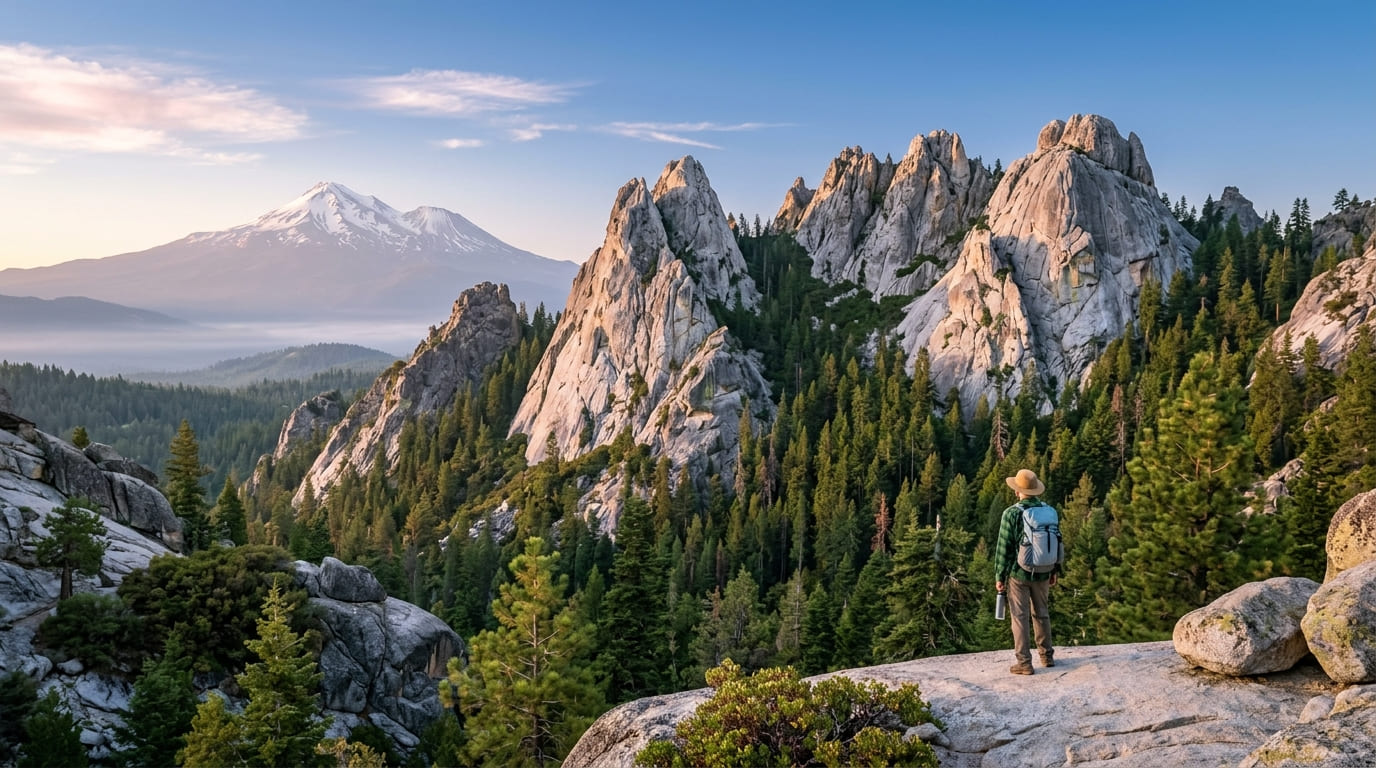
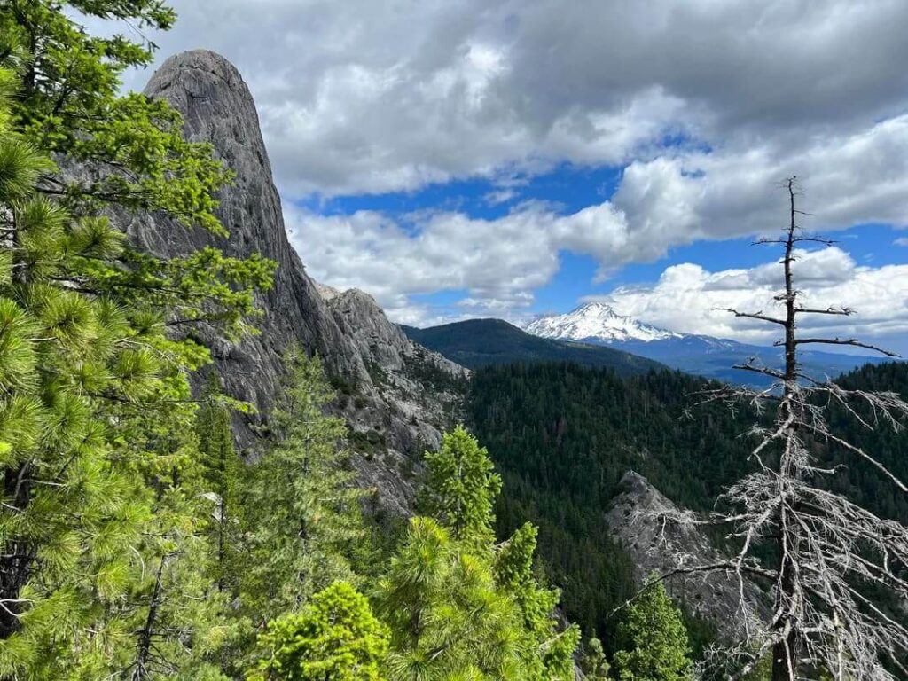
Drive north on Interstate 5 above Shasta Lake and the landscape changes its mind. The Sacramento River squeezes into a narrow valley, the conifers thicken, and then a wall of pale granite appears on the west side of the freeway, looking more like a piece of the Sierra than anything you expect this far north. Most drivers slow down for a second and keep going. Castle Crags State Park is the exit they skip, and it puts you on a granite-lined trail a few minutes after you leave the highway.
Disclosure: Please note that some of the links below are affiliate links and at no additional cost to you, I may earn a commission. Know that I only recommend hiking gear I personally stand behind; when you use my affiliate links, it helps me run this blog and keep all of this content free of charge for readers (like you).
This guide walks through the park the way a ranger would walk a first-time visitor through it: the Castle Crags hike most people come for, the gentler forest and river trails for days when you want less climbing, the fees and dog rules that catch people off guard, and the seasons that decide whether the day goes well. Skim the trail table to pick a route, or read straight through to plan a full weekend.
Castle Crags State Park at a Glance
| Detail | What to know |
|---|---|
| Address | 20022 Castle Creek Road, Castella, CA 96017 |
| Freeway exit | I-5 exit 724 (Castella / Castle Crags) |
| Distances | 6 miles south of Dunsmuir, 14 miles south of the city of Mount Shasta, 21 miles north of Shasta Lake |
| Size | Nearly 4,000 acres |
| Trails | 28 miles of hiking trails, easy to strenuous |
| Day-use fee | $8 per vehicle (confirm before you go) |
| Day-use hours | 8 a.m. to sunset |
| Dogs | Only on the Vista Point Trail, Campground Trail and Pacific Crest Trail |
| Camping | 76 developed campsites plus six environmental campsites, with seasonal closures |
| Park phone | 530-235-2684 |
Where Castle Crags State Park Is and How to Get There
Castle Crags State Park, California, sits in Shasta County at the north end of the Sacramento Valley, just off I-5 near the small community of Castella. Type Castle Crags State Park CA into a map app and the pin lands on Castle Creek Road, a few hundred yards west of the freeway ramp. The park is a natural base for exploring hiking trails around Mount Shasta in Shasta and Siskiyou counties, since the towns of Dunsmuir and Mount Shasta, both covered in our Siskiyou County trail guide, are a short drive north.
Stop at the entrance station first. You pay the day-use fee there, pick up a trail map, and can grab the interpretive guide for the Indian Creek Nature Loop. From there, the road climbs to Vista Point and the main trailheads. It is narrow, the speed limit is 15 mph, and the Vista Point lot is small, so an early arrival saves a lot of circling on summer weekends.
How the Crags Got Their Shape
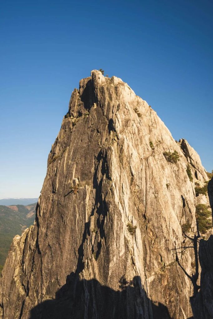
The granite you are looking at began as molten rock that rose and cooled beneath the surface roughly 170 million years ago, according to California State Parks. Uplift of the Klamath Mountains, weathering and erosion by streams, and glaciers then exposed it and carved it into spires and domes. The last glaciation ended about 10,000 to 12,000 years ago, and the rock’s resistance to erosion left the crags standing. They rise past 6,000 feet, and Castle Dome, the rounded bulk at the end of the main trail, is often compared to Yosemite’s Half Dome.
Give the cliffs a second look at different times of day. Shadows bring out what the park calls hidden faces carved into the granite by snow and ice. If this kind of landscape pulls at you, our guide to Klamath Mountains hikes in Siskiyou County covers more of the range.
People and History at the Crags
Long before it was a state park, this was the ancestral home of the Okwanuchu Shasta people. The Wintu, Achumawi, and Modoc people who lived around them also revered the crags, and the Okwanuchu Shasta believed that spirits took human forms to live in rocks, cliffs, and mountaintops like these.
The 1850s brought a hard chapter. A false rumor of a “Lost Cabin Mine” sent gold seekers here in 1853, and their mining debris choked the waterways the native people depended on for salmon. Settlers attacked starving Modocs they accused of stealing flour, triggering the Battle of Castle Crags in 1855. The site became California Historical Landmark No. 116 in 1984, and a plaque near the park entrance commemorates the conflict between Modoc, Wintu, Okwanuchu Shasta, and white settlers.
The park itself grew out of a different kind of effort. A mineral-springs hotel drew visitors in the late 1800s, and a bottling plant operated until 1929. After Frederick Law Olmsted Jr. surveyed the state for park sites in 1928, bond funds and donations bought 925 acres in 1933, and 220 men from a Civilian Conservation Corps camp in Castella began building roads, trails, and buildings in the “park rustic” style. Most of those structures came down in 1959 to make room for the freeway.
Castle Crags Hikes: Trails at a Glance
The park lists 28 miles of trails. These are the routes most visitors use, with numbers from the 2026 California State Parks info sheet.
| Trail | Distance | Elevation gain | Difficulty | Dogs |
|---|---|---|---|---|
| Vista Point Trail | 0.2 mi one way | 60 ft | Easy, ADA accessible | Yes, on leash |
| Root Creek Trail | 1.1 mi one way | 60 ft | Easy, ADA accessible | No |
| Indian Creek Nature Loop | 1.1-mile loop | 150 ft | Easy | No |
| River Trail | 1.5 mi one way | 50 ft | Easy | No |
| Kettlebelly Trail | 1.5 mi one way | About 140 ft | Easy to moderate | No |
| Flume Trail | About 1 mi to Flume campground, then about 1.75 mi to the PCT | Varies | Easy to moderate | No |
| Bob’s Hat Trail to Castle Dome | 3.6 mi one way | 2,600 ft | Moderate to strenuous | No |
| Crags Trail to Castle Dome | 2.7 mi one way | 2,200 ft | Strenuous | No |
Crags Trail to Castle Dome: The Castle Crags Hike Most People Come For
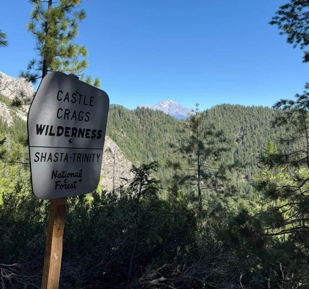
This is the climb that gives the park its reputation. By the park’s numbers, it runs 2.7 miles one way with 2,200 feet of gain, so about 5.4 miles round trip, and it is rated strenuous. Hikers often search for the Castle Crags trail, but the sign on the ground says Crags Trail, so look for that name near Vista Point.
The first 1.5 miles pass through dense forest. This is where you settle into the climb, and it is pleasant rather than dramatic. About a quarter mile in, you cross the Pacific Crest Trail. Just beyond the 1.5-mile mark, a spur trail leads on a five-minute walk to Indian Springs, where water flows year-round out of the granite. Treat any water you collect there.
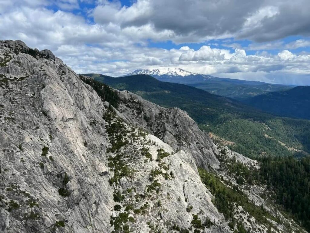
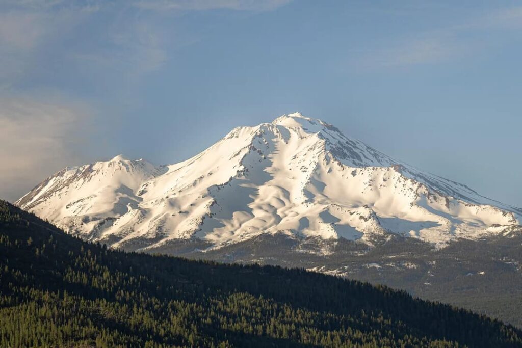
Just past the spring, the trail enters the Castle Crags Wilderness, which the U.S. Forest Service manages. The forest opens up here, and the final stretch is steep, rocky, and has no shade. Then the trail ends in the rocky saddle at the base of Castle Dome, with Mount Shasta and the Gray Rocks formation spread out in front of you. That view is the payoff for everything below it.
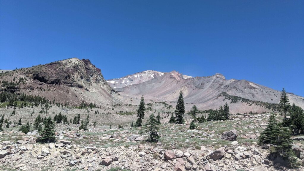
A few honest trade-offs. In July and August, when summer highs average above 90°F, the exposed granite section can be punishing, so start at dawn or pick another season. Cell reception can drop out in places. The maintained trail also stops at the base of Castle Dome. What lies beyond is unmarked, steep granite scrambling, and the park asks visitors to stay on trails, so treat the saddle as your destination. Plan a half day, carry more water than feels necessary, and tell someone your turnaround time.
Bob’s Hat Trail to Castle Dome: The Longer Approach
If you want a longer approach to the same destination, Bob’s Hat Trail begins near the park entrance instead of at Vista Point. It runs about 3.6 miles one way with 2,600 feet of gain, and the park rates it moderate to strenuous. Along the way, it connects to the Milt Kenny Trail (0.4 miles), the Pacific Crest Trail (1.4 miles), and the Crags Trail (1.7 miles). It suits hikers who want a longer day and can handle the sustained climb.
Vista Point Trail: The Short Version
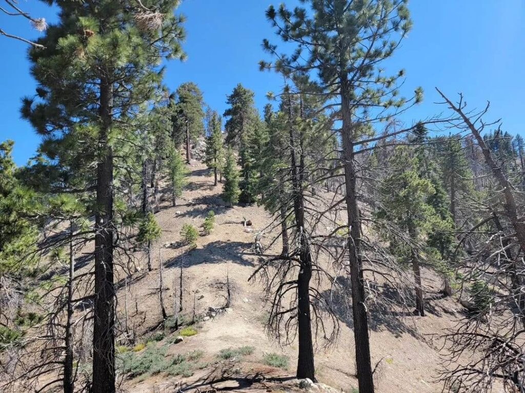
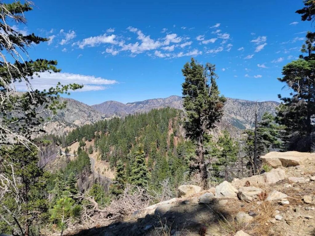
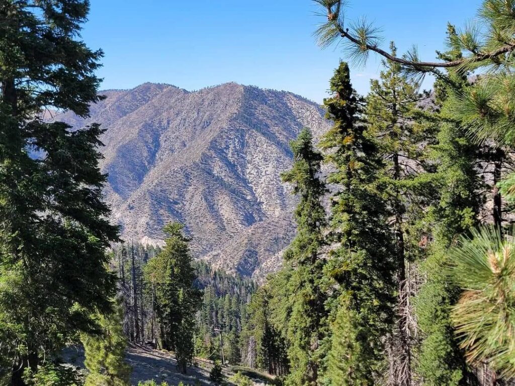
If you only have a few minutes, walk this one. The Vista Point Trail runs 0.2 miles one way with 60 feet of gain, is shaded, and is ADA accessible. It leads to a viewpoint of Castle Crags, Mount Shasta, and the Gray Rocks formation, and it is one of the few trails in the park where dogs on leash are allowed. For more options like it across the state, see our list of ADA-friendly trails in California.
Root Creek Trail: Orchids Under the Canopy
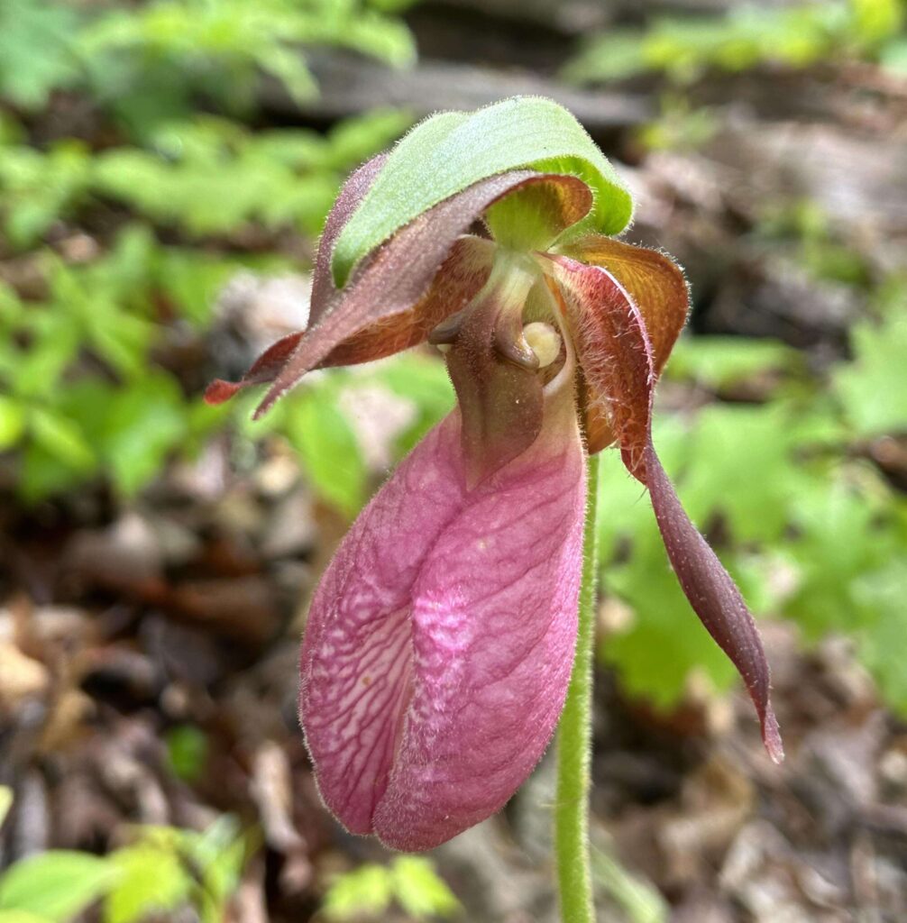
Leaving from the Vista Point area, the Root Creek Trail follows a shaded path through the forest for 1.1 miles one way and ends at Root Creek. The park lists it as easy and ADA accessible. Wild orchids bloom along it in spring and early summer, and the park counts 13 orchid species in total, so a slow walk here in May can feel like a botany class with better scenery.
Indian Creek Nature Loop and Flume Trail
Near the main entrance, the 1.1-mile Indian Creek Nature Loop crosses Indian Creek twice on small wood-and-stone bridges and gains about 150 feet. It is shaded and good for wildflowers in spring and early summer. A spur of the loop becomes the Flume Trail, a fairly level path of about a mile to the Flume Environmental Campground. From there it climbs about 1.75 miles to the Pacific Crest Trail. Combine the Flume Trail, the Pacific Crest Trail, and Bob’s Hat Trail, and you get a 7.5-mile loop with around 600 feet of gain, a good option for hikers who want miles without the Castle Dome grind.
River Trail and the Sacramento River
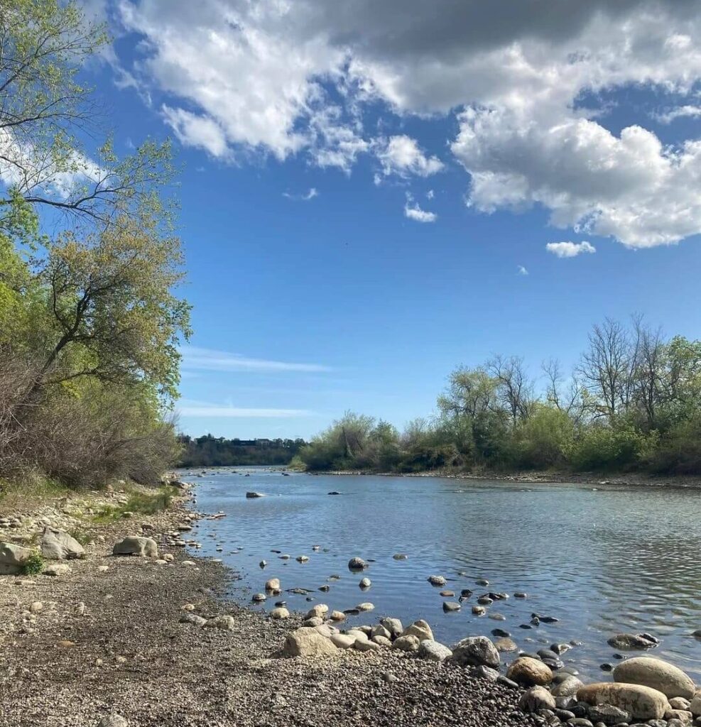
The 1.5-mile River Trail follows the Sacramento River with just 50 feet of gain and is reachable from several points along Riverside Road, Frontage Road, and the Lower Loop camping area. Look for the Pacific yew, which the park calls unique, and for anglers working the water. Riverside also has a pedestrian suspension bridge across the river, but the freeway underpass is locked during the off-season, so check before planning a route that depends on it. Fishing regulations change, so check the California Department of Fish and Wildlife before you cast.
Kettlebelly Trail: Sunrise Through the Trees
The 1.5-mile Kettlebelly Trail connects with the Vista Point Trail below the viewpoint and runs along Kettlebelly Ridge to the Pacific Crest Trail, with about 140 feet of gain. It is shaded, and the park notes that it is beautiful at sunrise when light comes through the trees.
Pacific Crest Trail Through Castle Crags State Park
The Pacific Crest Trail threads through the park with connectors to the Root Creek, Dome, Kettlebelly, and Flume trails. For long-distance hikers on the 2,650-mile route, the park is often a welcome rest stop. The quickest access for day hikers is about a quarter mile into the Crags Trail. If you are hiking with a dog, the park suggests joining the Pacific Crest Trail at the Soda Creek exit, one exit north of the park, since dogs are allowed on the PCT but not on the connecting trails. For the bigger picture, see our guide to the Pacific Crest Trail through California.
Entrance Fees, Hours, Parking and Dog Rules
Fees and passes
Day use at Castle Crags State Park is $8 per vehicle at last check, and the park accepts the Adventure, Disabled Discount, Explorer, Golden Bear, Senior Golden Bear, Golden Poppy, State Library, and Veteran passes. Fees can change, so confirm on the California State Parks Castle Crags page before you leave. If you hike across the state often, our guide to California hiking trail permits and passes explains which pass saves money.
Hours and parking
Day-use areas are open from 8 a.m. to sunset. The Vista Point lot is for day use only, with no overnight parking and no shade, so never leave a pet in a parked car.
Dog rules
Dogs must stay on a leash no longer than six feet at all times. They are allowed on the 0.2-mile Vista Point Trail, the 0.6-mile Campground Trail, and the Pacific Crest Trail, but not on the other trails, including the Crags Trail. Plan accordingly if a dog is joining you, and see our guide to hiking with dogs in California for trails with more freedom.
Permits for the Castle Crags Wilderness
According to the U.S. Forest Service, no wilderness permit is required for the Castle Crags Wilderness, but a California Campfire Permit is required year-round, and fire restrictions can apply. The Mount Shasta Ranger Station at 530-926-4511 can answer current questions.
Camping at Castle Crags State Park
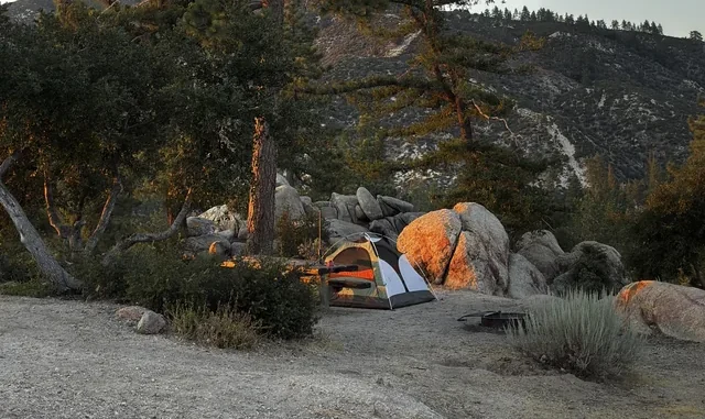
The park has 76 developed campsites, each with a picnic table, food locker, and fire ring, plus six environmental campsites. Availability and booking rules shift by season, so check the park page and ReserveCalifornia before you drive up. During winter and off-season months, the pedestrian underpass, the Upper and Lower Loops of the main campground, and the Riverside campground close, and severe winter weather can close the entire park. Use the bear-resistant lockers for food. For other options in the region, see our guide to campgrounds near California’s top hiking trails.
Best Time to Hike Castle Crags State Park
Spring and early summer bring wild orchids and wildflowers along Root Creek and the Indian Creek Nature Loop, and the forest trails feel their best. Summer is hot. Average highs run above 90°F, and the exposed upper Crags Trail has no shade, so start at dawn and read up on weather hazards on California trails before you go. Fall brings cooler temperatures, a good window for the Castle Dome climb. Winter can dip into the low 20s, and seasonal closures apply, so check conditions before you travel.
Wildlife and Plants
Black bears forage for berries here, and mountain lions, bobcats, and coyotes hunt at higher elevations. Pileated woodpeckers hammer in the trees, American dippers bob along the creek banks, and osprey patrol the river for trout. Two plants grow only in this area, the Castle Crags harebell and Castle Crags ivesia, and the park also protects stands of Port Orford cedar and a rare weeping spruce forest tucked among the crags. Keep food in lockers, stay on trails, and give wildlife room.
Nearby Stops
A short drive north in Dunsmuir, the Hedge Creek Falls trail leads behind a waterfall, and more cascades are collected in our guide to waterfall hikes in Shasta County. Closer to Mount Shasta, Castle Lake is the kind of alpine stop covered in our guide to alpine lake hikes in Siskiyou County.
The Bottom Line
Castle Crags State Park is a rare place where a freeway exit leads to granite spires, a Pacific Crest Trail crossing, and a view of Mount Shasta in the same afternoon. The trade-offs are plain: a steep, shadeless final climb, narrow park roads, limited dog access, and hot summers. Pick your season, start early, and either take the Crags Trail to the saddle or settle for the Vista Point view. Both pay off. For more parks like this one, browse our guide to state parks across California.
Frequently Asked Questions
How long is the Crags Trail to Castle Dome?
The park lists it at 2.7 miles one way with 2,200 feet of elevation gain, so about 5.4 miles round trip. Plan a half day.
How much does it cost to enter Castle Crags State Park?
Day use is $8 per vehicle at last check, and several California State Parks passes are accepted. Camping fees are listed on the reservation page, and prices can change.
Are dogs allowed at Castle Crags State Park?
Only in limited places: the Vista Point Trail, the Campground Trail, the Pacific Crest Trail, and campgrounds, always on a leash of six feet or shorter. They are not allowed on the Crags Trail or most other trails.
Can you climb to the top of Castle Dome?
The maintained Crags Trail ends in a saddle at the base of Castle Dome. Anything beyond is an unmarked scramble, and the park asks visitors to stay on trails.
Do I need a permit to hike into the Castle Crags Wilderness?
The Forest Service says no wilderness permit is required, but a California Campfire Permit is required year-round.
Is Castle Crags State Park open in winter?
Parts of it close each winter, including the Upper and Lower Loops of the main campground, Riverside campground, and the pedestrian underpass, and severe weather can close the whole park. Check the park page before you drive.