Rae Lakes Loop Hiking & Permit Guide
The Rae Lakes Loop is a 41.4-mile circuit through Kings Canyon National Park that climbs from a granite-walled valley floor at 5,035 feet to Glen Pass at 11,978 feet, passing a chain of alpine lakes along the way. It starts and ends at Road’s End, where Highway 180 stops, and from late May to late September you need a quota-limited wilderness permit to camp on it.
Disclosure: Please note that some of the links below are affiliate links and at no additional cost to you, I may earn a commission. Know that I only recommend hiking gear I personally stand behind; when you use my affiliate links, it helps me run this blog and keep all of this content free of charge for readers (like you).
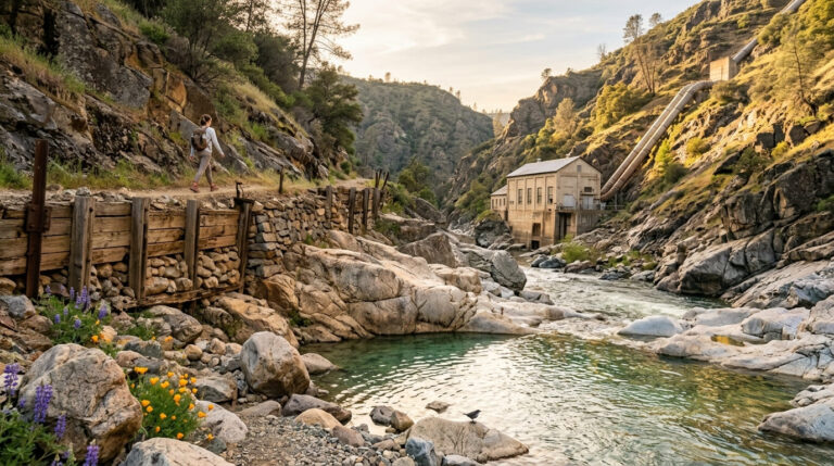
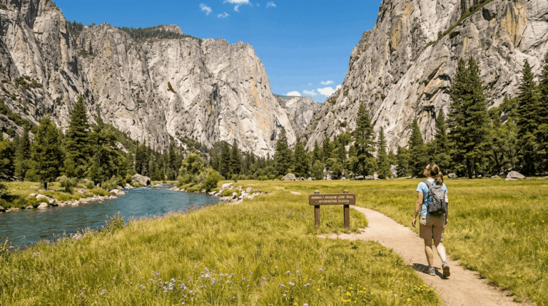
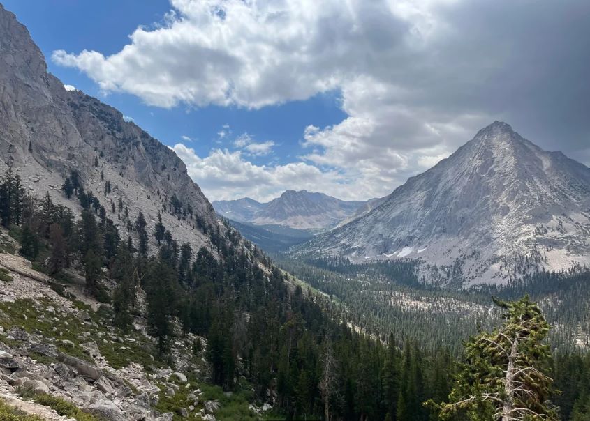
The first day belongs to the river. You follow the South Fork Kings River up a canyon of pine, cedar, and granite, past Mist Falls, into a string of campsites that feel like a held breath before the serious climbing starts.
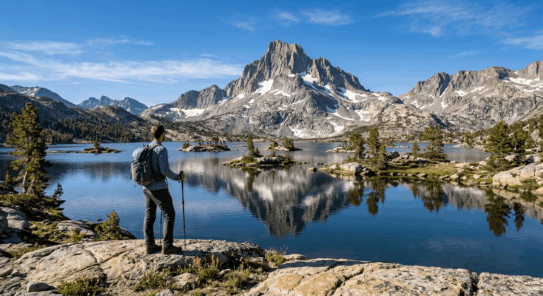
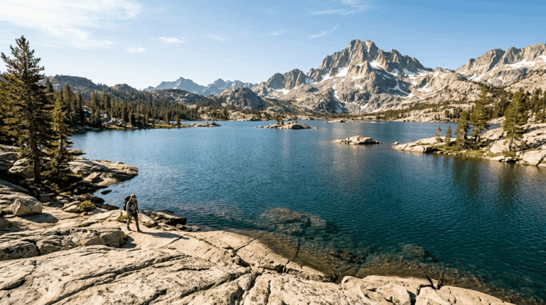
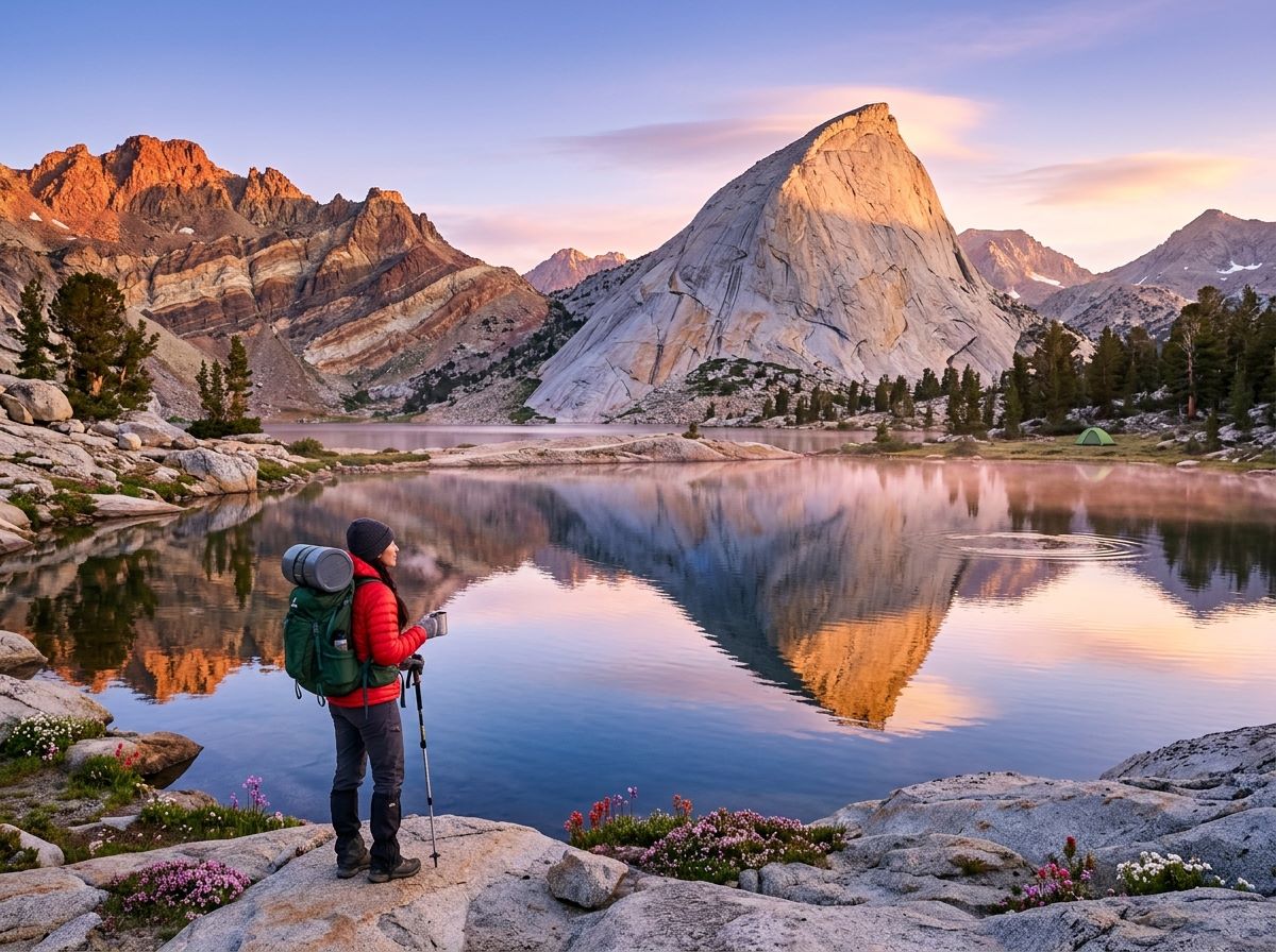
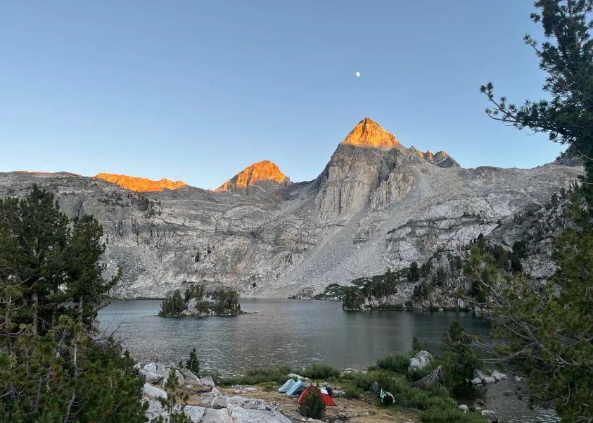
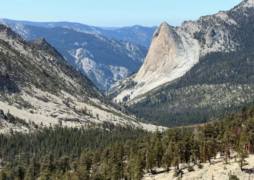
On day two, the forest thins, the trail follows Woods Creek upward between tall granite walls, and by the time you reach the lakes you are above 10,000 feet with Fin Dome standing behind the water and a bear canister riding on your back.
This guide covers the Rae Lakes Trail from end to end: the trailhead, the permit, a map and mileage table, a four-day itinerary, camping rules, and the river crossing that decides how the first two days go.
Key Takeaways
- The loop is 41.4 miles with a high point of 11,978 feet at Glen Pass. Most backpackers take about four days and three nights.
- An overnight wilderness permit is required. In 2026, the quota season ran May 22 to September 26 and cost $15 per trip plus $5 per person. From September 27, 2026, to May 20, 2027, permits are free and self-issued.
- Your permit’s entry point sets your direction: Woods Creek is clockwise, and Bubbs Creek is counterclockwise.
- Portable bear canisters are required in the Rae Lakes Loop area from May 1 through October 31. Campfires are banned above 10,000 feet.
- The South Fork Kings River bridge above Paradise Valley washed out in winter 2016-2017, and replacement construction will not begin before 2027. You ford the river instead.
- Highway 180 to Road’s End closes for winter in mid-November and typically reopens the fourth Friday of April.
Rae Lakes Loop at a Glance
| Detail | What to know |
|---|---|
| Distance | 41.4 miles (National Park Service figure; other sources list 39 to 46) |
| Start and finish | Road’s End Permit Station, end of Highway 180, Cedar Grove area |
| Elevation | 5,035 feet at the trailhead; 11,978 feet at Glen Pass |
| Total climbing | Roughly 7,000 to 8,000 feet, depending on the source |
| Typical time | 4 days, 3 nights |
| Location | Kings Canyon National Park, Fresno County |
| Entry points | Woods Creek (clockwise) or Bubbs Creek (counterclockwise) |
| Food storage | Canister required May 1 to October 31 |
| Dogs | Not allowed on any park trail |
| Reliable window | Mid-July through September; Glen Pass can hold snow until mid to late July |
Where the Rae Lakes Loop Sits
The loop lies in the high country of Kings Canyon National Park in Fresno County, and it is one of the most popular hikes in Sequoia and Kings Canyon, if not the whole Sierra.
For the wider picture of the two parks, our guide to Sequoia and Kings Canyon hiking trails shows where this loop fits among the groves, canyons, and passes. If you would rather sample the park without a permit, our guide to other Kings Canyon National Park trails covers shorter options. For a wider look at scenic stops and non-hiking sights across the region, explore our guide to Kings Canyon National Park activities.
Between Woods Creek and Vidette Meadow, the loop follows the John Muir Trail and Pacific Crest Trail, much like routes requiring a Mount Whitney access and permits, which is why it feels like a compact version of a long-distance route. If that appeals, our John Muir Trail planning guide covers the full distance.
Rae Lakes Loop Trailhead: Road’s End
Road’s End is the last stop in the Cedar Grove area, at the literal end of Highway 180. Plan on about an hour of driving from the Kings Canyon Visitor Center in Grant Grove. The wilderness permit station sits at the trailhead, and during the quota season it is open from 7:00 a.m. to 3:30 p.m.
Highway 180 into Cedar Grove is a seasonal road. It closes for winter in mid-November and typically reopens the fourth Friday of April, and Caltrans scheduled the 2026 reopening for April 24. Check the road before any shoulder-season trip.
You also pay to enter the park. A private vehicle pass is $35 and covers seven days; a person on foot or bicycle pays $20, and non-US residents aged 16 and older pay an extra $100 per person unless they hold an annual or America the Beautiful pass. The park does not accept cash at entrance stations or for walk-in wilderness permits, so bring a card.
Starting From Onion Valley Instead
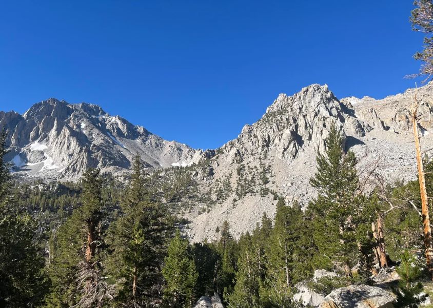
You can also reach the loop from the east side. The Kearsarge Pass Trail climbs from Onion Valley (about 9,200 feet) to Kearsarge Pass at roughly 11,800 feet, then joins the John Muir and Pacific Crest Trails and provides access to the Rae Lakes Loop.
The National Park Service says that when a trip starts outside the parks, you can generally get a permit for the whole itinerary from the agency where you begin, such as Inyo National Forest. For the Eastern Sierra side, our guide to Inyo County hiking trails covers the surrounding area.
Rae Lakes Loop Permit: How to Get One
A wilderness permit is required for any overnight trip. The rules change with the season, and the quota season is where planning matters.
| Season | Dates | Cost | How you get it |
|---|---|---|---|
| Quota season | May 22 to September 26, 2026 | $15 per trip plus $5 per person | Reserve on Recreation.gov up to six months ahead, or request a walk-up permit at Road’s End |
| Non-quota season | September 27, 2026 to May 20, 2027 | Free | Self-issued at the kiosk outside the Road’s End station, available 24 hours |
The 2027 quota dates were not posted when I checked. Recent seasons have started the Friday before Memorial Day and run to late September, so expect something similar and confirm on the park’s permit page.
Reserving during the quota season. Reservations are released daily at 7:00 a.m. Pacific, and you can book from six months out until one week before your entry date. Choose your entry point and date carefully, because they cannot be changed without creating a new reservation.
You can list up to three alternate trip leaders, and the per-person part of the fee is refundable for cancellations or party-size reductions up to one week before the trip.
At last check, the daily limit was 25 people per entry point, with 20 of those spots reservable and the rest held for walk-ups. Book through the Sequoia and Kings Canyon wilderness permit page on Recreation.gov.
Picking it up. Your confirmation email is not a permit. Bring it and proof of identity to Road’s End, with your whole party, for the ranger orientation. Pickup runs from 1:00 p.m. the day before your entry date until 10:00 a.m. on the day itself.
If you arrive later, call the Wilderness Office at 559-565-3766, or your reservation is canceled at 10:00 a.m., and the spots can go to walk-ups.
Walk-up permits. These start at 1:00 p.m. the day before your trip, and no-show spots can open at the 10:00 a.m. deadline on the morning of entry.
Outside the quota season. The permit is free and self-issued, and the park notes that rangers are not available to answer questions at the trailhead, so arrive with your plan settled. For a wider look at passes and permits across the state, see our guide to California hiking trail permits and passes.
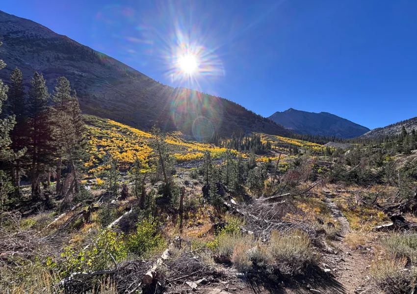
Clockwise or Counterclockwise?
| Direction | Permit entry point | Route | What to expect |
|---|---|---|---|
| Clockwise | Woods Creek | Paradise Valley, Woods Creek, Rae Lakes, Glen Pass, Vidette Meadow, Bubbs Creek | The usual choice; spreads the climbing over a longer distance; you ford the river early |
| Counterclockwise | Bubbs Creek | Bubbs Creek, Vidette Meadow, Glen Pass, Rae Lakes, Woods Creek, Paradise Valley | More strenuous; the ford comes late, and the park warns you may have to backtrack to Cedar Grove if it is unsafe |
Most hikers go clockwise, and I would too on a first trip. You reach the lakes on day two, you cross Glen Pass with fresher legs on day three, and the long descent beside Bubbs Creek carries you out.
Rae Lakes Loop Map and Mileage
The park’s own Rae Lakes Loop page is the best free reference, and it includes a mileage table between every major point. For a paper map, Tom Harrison’s Kearsarge Pass and Rae Lakes Loop map is waterproof, printed at 1:42,240 with 80-foot contours, and covers Paradise Valley, Vidette Meadow, Charlotte Lake, Onion Valley, and Bubbs Creek.
His Kings Canyon High Country map covers the wider area at 1:63,360. A digital version of the Rae Lakes map is also sold through Avenza for offline GPS use. If you want to sharpen your skills before you go, our guide on how to read a California hiking trail map walks through contours and junctions.
| Point | Miles via Paradise (clockwise) | Miles via Bubbs (counterclockwise) |
|---|---|---|
| Road’s End | 0 | 41.4 |
| Paradise/Bubbs junction | 1.9 | 39.5 |
| Mist Falls (no camping) | 3.9 | 37.5 |
| Lower Paradise (first campsite) | 5.7 | 35.7 |
| Upper Paradise | 10.0 | 31.3 |
| Woods Creek crossing | 15.7 | 25.7 |
| Dollar Lake | 19.7 | 21.7 |
| Rae Lakes | 22.7 | 18.7 |
| Glen Pass | 24.6 | 16.8 |
| Charlotte Lake junction | 26.7 | 14.7 |
| Vidette Meadow | 28.2 | 13.2 |
| Junction Meadow | 31.1 | 10.3 |
| Sphinx Junction (last campsite) | 37.5 | 4.1 |
| Road’s End | 41.4 | 0.0 |
A Four-Day Rae Lakes Trail Itinerary
I built this plan from the park’s mileage table, so every daily distance comes from the numbers above.
| Day | From | To | Miles |
|---|---|---|---|
| 1 | Road’s End | Upper Paradise Valley | 10.0 |
| 2 | Upper Paradise Valley | Rae Lakes | 12.7 |
| 3 | Rae Lakes | Junction Meadow | 8.4 |
| 4 | Junction Meadow | Road’s End | 10.3 |
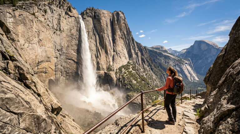
Day 1: The river canyon. The trail climbs from the valley floor beside the South Fork Kings River and reaches Mist Falls at 3.9 miles, where camping is not allowed.
The first legal campsite is Lower Paradise at 5.7 miles, and camping in Paradise Valley is limited to two nights. Pushing on to Upper Paradise at mile 10 sets up the next morning.
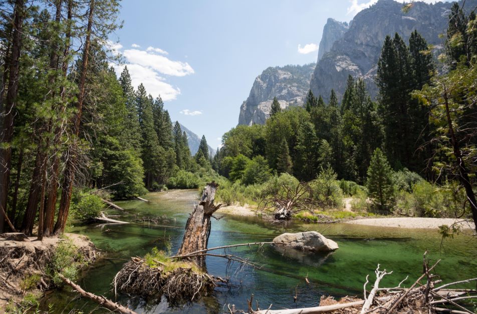
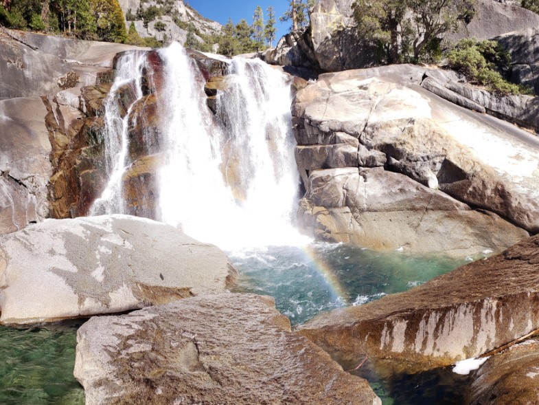
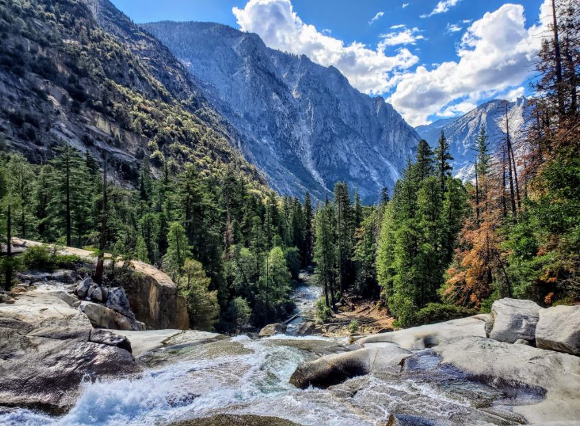
Day 2: the ford, the bridge and the lakes. At the top of Paradise Valley, you cross the South Fork Kings River, and your day depends on the water. Farther on is the Woods Creek crossing at 15.7 miles, then Dollar Lake, and then Rae Lakes at 22.7 miles.
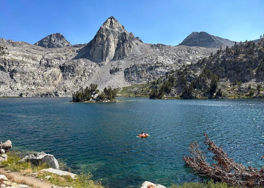
The park limits camping at Rae Lakes to one night per lake and bans campfires above 10,000 feet. At the lakes, Fin Dome and Painted Lady hold the skyline.
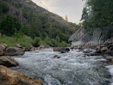
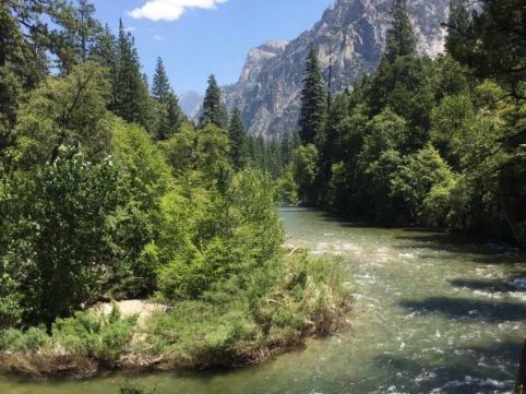
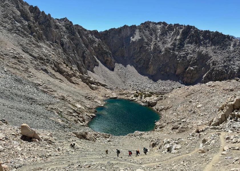
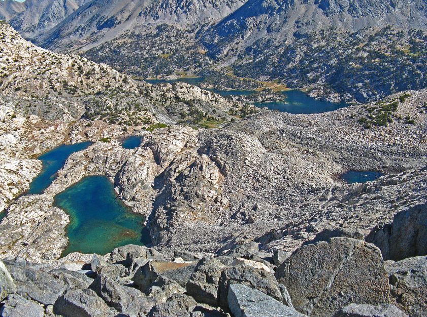
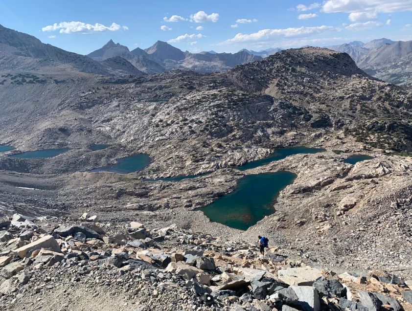
Day 3: Glen Pass. Glen Pass sits 1.9 miles beyond Rae Lakes, and from its crest you can look back over the water you just left. From there the trail drops to Vidette Meadow at 28.2 miles and on to Junction Meadow at 31.1 miles.
Side trips fit here if you have a spare day, including the Sixty Lake Basin west of Rae Lakes and Charlotte Lake, which has a two-night camping limit. Bullfrog Lake, east of the trail between Vidette Meadow and Glen Pass, is closed to camping.
Day 4: Bubbs Creek. The walk out follows Bubbs Creek downhill past Charlotte Creek and Sphinx Junction, the last campsite on the loop, before rejoining the Paradise junction at 39.4 miles and finishing at Road’s End.
Camping Rules, Fires and Bear Canisters
| Rule | Where it applies |
|---|---|
| Camp only in designated sites | Lower Paradise Valley (check the park for a temporary closure notice) |
| Two-night limit | Paradise Valley, Charlotte Lake and Kearsarge Lakes |
| One night per lake | Rae Lakes |
| No camping | Mist Falls and Bullfrog Lake |
| No campfires | Anywhere above 10,000 feet |
| No dogs or wheeled vehicles | Every park trail |
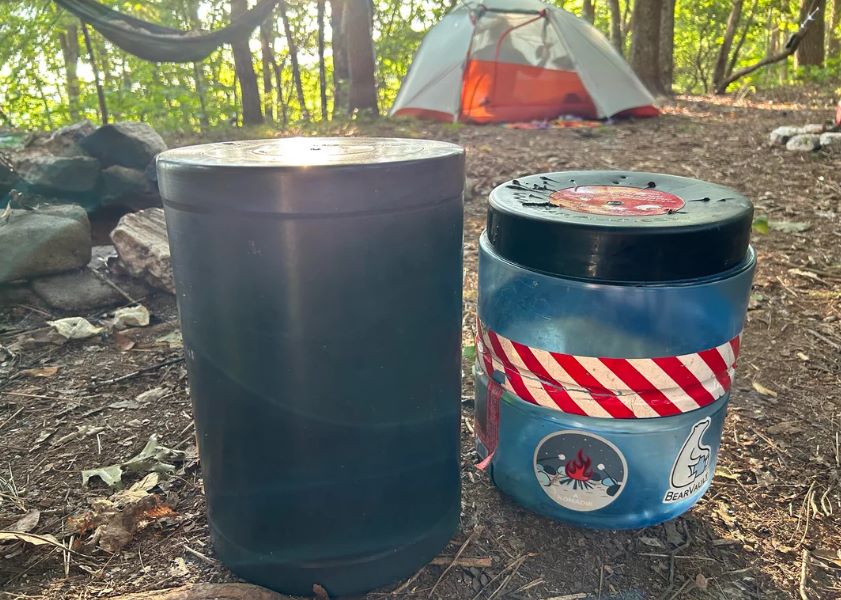
Bears have been very active along this trail and have succeeded in getting food hung from trees. Portable bear-resistant canisters are required in the Rae Lakes Loop area from May 1 through October 31. Rental canisters are available at park visitor centers except Cedar Grove, so pick one up before you drive to Road’s End.
The permanent metal storage boxes along this trail are for thru-hikers on the Pacific Crest and John Muir Trails, not for loop hikers. Do not leave food in your car at the trailhead, and use the trailhead food storage boxes. Our guide to wildlife hazards on California trails covers bear behavior in more detail.
River Crossings, Glen Pass and 2026 Conditions
The South Fork Kings River bridge above Paradise Valley washed out during the winter of 2016-2017, and the park says replacement construction will not begin before 2027.
In practice, the crossing changes by the week. On June 11, 2026, the park reported the crossing as waist-deep, swift, and cold. By August 26, it could be done as a dry crossing by rock hopping.
The park also says trips attempting the crossing may not be possible until sometime in July, and it asks hikers to observe conditions, weigh the risk, and be prepared to turn back.
Drowning in rivers is the most common cause of death in the two parks, so take the warning seriously. Our guide to water hazards on California trails explains how to judge a crossing.
Glen Pass behaves on its own schedule. The park says it can stay impassable to hikers until mid to late July, and in 2026 it was reported snow-free by July 7.
High water at stream crossings can also be a problem in May and early June. In spring, fall, and winter, few rangers are in the field, so do not rely on trail reports from those seasons.
Best Time to Hike the Rae Lakes Loop
| Window | What to expect |
|---|---|
| Late May to June | High water at crossings, snow at Glen Pass, quota permits in force |
| Mid-July to September | The most reliable window; Glen Pass is typically open and the ford is lower |
| Late September to mid-November | Free self-issued permits and few rangers; Highway 180 closes in mid-November |
| Winter | Highway 180 to Road’s End closed; the park has reported winter conditions in Rae Lakes Basin by late November |
If you are building a longer trip, our list of multi-day backpacking loops in California puts this route beside other options, and our guide to planning a multi-day hiking trip through California’s national parks covers logistics like lodging and resupply.
Frequently Asked Questions
How long is the Rae Lakes Loop, and how long does it take?
The park lists it at 41.4 miles. Most backpackers allow four days and three nights, as in the itinerary above.
How hard is the Rae Lakes Loop?
It is strenuous. You climb roughly 7,000 to 8,000 feet in total, cross one high pass at 11,978 feet, and spend a long stretch of the loop near or above 10,000 feet. Going clockwise spreads the climbing over a longer distance.
Do I need a permit in October?
Yes, for overnight trips. After September 26, 2026, permits are free, self-issued, and not limited by quota. The Road’s End kiosk is available 24 hours, but rangers are not at the trailhead to answer questions.
Do I have to carry a bear canister?
From May 1 through October 31, yes. Outside those dates, the parks highly recommend one throughout the backcountry.
Can I bring my dog?
No. Pets are not allowed on any park trail.
Can I start the loop from Onion Valley?
Yes. You can reach the loop over Kearsarge Pass from Onion Valley on the east side. The permit comes from the agency where your trip begins, such as Inyo National Forest.