The 5 Best Kings Canyon National Park Hiking Trails, Fresno County
Kings Canyon is Fresno County’s flagship natural landmark, a canyon carved deep enough to rival Yosemite Valley, wrapped around some of the largest living trees on Earth. This guide covers the park itself and its Kings Canyon National Park hiking trails; for the surrounding national forest, a genuinely different jurisdiction with different rules, covered in my Sequoia National Forest guide; and for family-friendly hiking trails, San Joaquin River Gorge and high-elevation hiking trail options elsewhere in the county, those guides round out the rest of this series. Start at the Fresno County trail guide for the complete picture, and check out our guide on top attractions in Kings Canyon for ideas on what to do off the trail.
Disclosure: Please note that some of the links below are affiliate links and at no additional cost to you, I may earn a commission. Know that I only recommend hiking gear I personally stand behind; when you use my affiliate links, it helps me run this blog and keep all of this content free of charge for readers (like you).
One rule applies to every trail in this guide, so I’ll say it once clearly up front: pets are not allowed on any trail in Sequoia and Kings Canyon National Parks, no exceptions.
Key takeaways
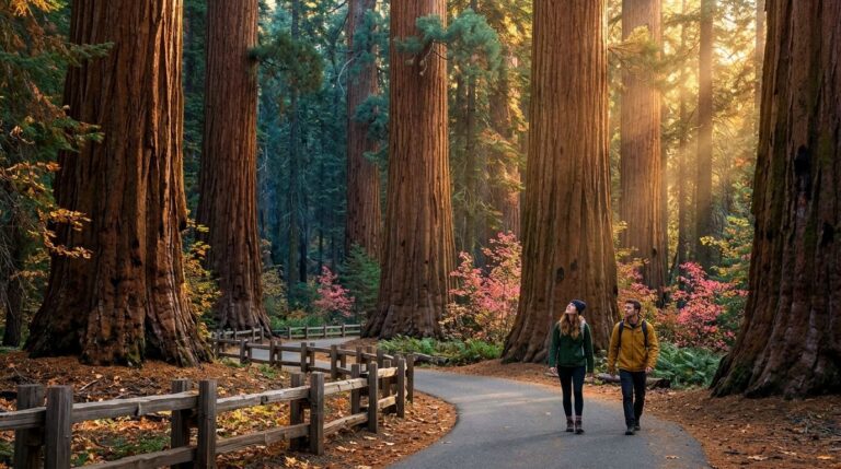
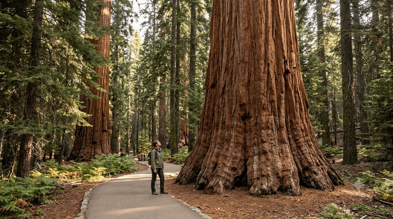
- The icon: the General Grant Tree Trail, a half-mile paved loop to the second-largest tree on Earth, officially the Nation’s Christmas Tree since 1926.
- The overlooked history lesson: Big Stump Trail, genuine 1880s logging remnants, including a tree felled specifically for a 19th-century museum tour.
- The canyon-floor classic: Zumwalt Meadow, granite walls rivaling Yosemite, minus the crowds.
- The best payoff-to-effort ratio: Roaring River Falls, a genuinely powerful waterfall reachable in under 10 minutes from the parking lot.
- The big day hike: Mist Falls, 8 miles to one of the Sierra’s largest-volume waterfalls, with a real safety note worth reading.
- A single $35 vehicle pass covers everything here, plus Sequoia National Park and the Hume Lake area of the surrounding national forest, for up to seven days.
Quick-glance comparison
| Trail | Distance (RT) | Elevation Gain | Area |
|---|---|---|---|
| General Grant Tree Trail | 0.5 mi | Minimal | Grant Grove |
| Big Stump Trail | ~1.7–2 mi | ~200–250 ft | Grant Grove |
| Zumwalt Meadow Trail | 1–3 mi | Minimal | Cedar Grove |
| Roaring River Falls Trail | 0.3–0.6 mi | Minimal | Cedar Grove |
| Mist Falls Trail | 8 mi | ~600 ft (final mile) | Cedar Grove |
Three of these five trails sit in Cedar Grove, which is strictly seasonal; more on exact dates below.
General Grant Tree Trail (Grant Grove)
This is the trail that gives most visitors their first, and sometimes only, look at a giant sequoia, and it delivers that experience about as efficiently as any trail on this entire site.
Trailhead access: Grant Grove Village, standard park entrance fee
Park at the paved lot in Grant Grove Village. The standard $35 per-vehicle entrance fee applies, valid for 1–7 days and covering both Sequoia and Kings Canyon National Parks together, plus the Hume Lake area of the surrounding national forest.
Difficulty, distance, and elevation gain on the loop
It’s a short, easy 0.5-mile paved loop with minimal elevation gain, genuinely wheelchair accessible, and the easiest trail in this entire guide.
What you’ll see: the Nation’s Christmas Tree, second-largest tree on Earth
The General Grant Tree is the second-largest tree by volume on the planet, behind only the General Sherman Tree in neighboring Sequoia National Park, where you can also experience a wide variety of essential Sequoia National Park attractions.
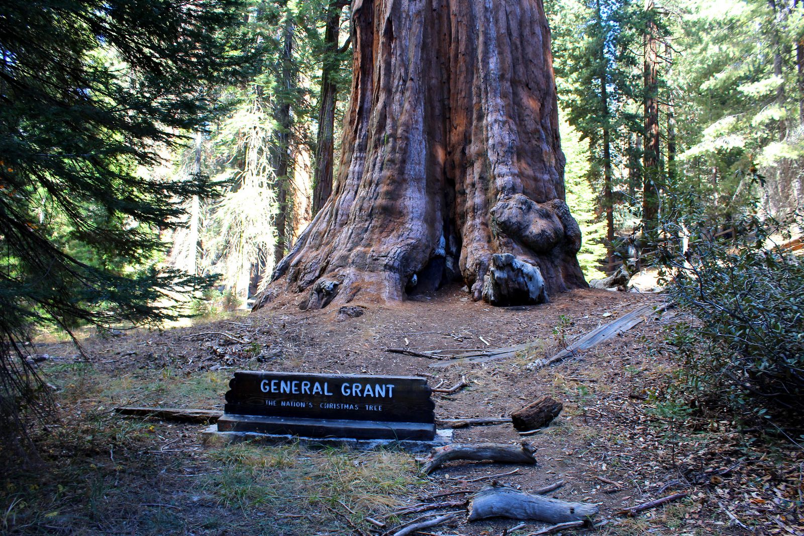
President Coolidge proclaimed it the Nation’s Christmas Tree in 1926, a designation it still holds. Worth knowing: Grant Grove itself escaped both the 2015 Rough Fire and the 2021 KNP Complex Fire that damaged other parts of these parks, largely credited to the parks’ long-standing program of deliberate prescribed burning in this specific grove.
Best time to hike General Grant Tree Trail: reliably year-round, snow permitting
Paved and at lower elevation than the Cedar Grove trails later in this guide, this one reopens earlier in spring and stays accessible later into fall, genuinely one of the more dependable trails in this entire county series.
Big Stump Trail (Grant Grove)
Most visitors drive straight past this trail heading for the more famous General Grant Tree a few miles up the road. That’s their loss; this is the more interesting history lesson of the two.
Trailhead access: the Big Stump Picnic Area, near the park entrance
Park at the picnic area just past the Kings Canyon entrance station on Highway 180, distinct from the Grant Grove Village lot used for the General Grant Tree.
Difficulty, distance, and elevation gain on the loop
It’s an easy 1.7–2-mile loop with 200–250 feet of gain, mostly dirt trail with some hilly, rooty sections, not accessible the way the paved General Grant Tree Trail is, but still genuinely easy.
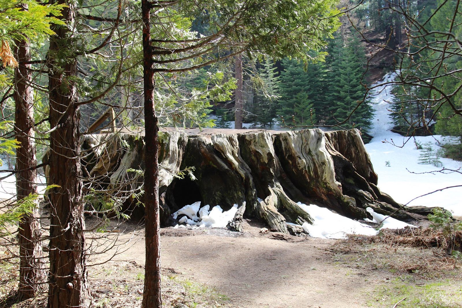
What you’ll see: an 1880s lumber mill’s legacy, including a tree felled for a museum tour
Between 1883 and 1889, the Smith Comstock Lumber Mill logged much of this basin, splitting sequoia timber into fence posts and vineyard stakes for Central Valley farms, a strange fate for wood this remarkable. The trail’s namesake, Mark Twain Stump, comes from a 1,350-year-old sequoia felled in 1891 specifically, so cross-sections could be displayed in New York and London, since many people back east refused to believe trees this large actually existed. Named features along the way, including “Feather Bed” and “Sawed Tree,” add specific, findable landmarks to look for.
Best time to hike Big Stump Trail: a natural first or last stop at the park entrance
Its location right at the entrance station makes this a genuinely convenient bookend to a Grant Grove visit, whether you’re arriving or leaving.
Zumwalt Meadow Trail (Cedar Grove)
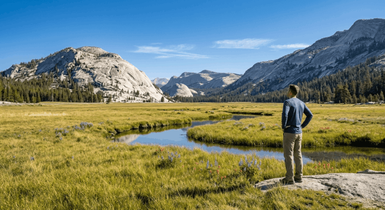
This is the trail that makes Kings Canyon’s namesake comparison to Yosemite Valley click, genuine granite walls towering over a river meadow, with a fraction of Yosemite’s crowds.
Trailhead access: 33 miles from Grant Grove, deep in Cedar Grove
Budget about an hour each way from the Kings Canyon Visitor Center, this is a genuinely different section of the park, roughly 30 miles down Highway 180 into the canyon itself. Parking is limited and tight; arrive early.
Difficulty, distance, and elevation gain on the loop
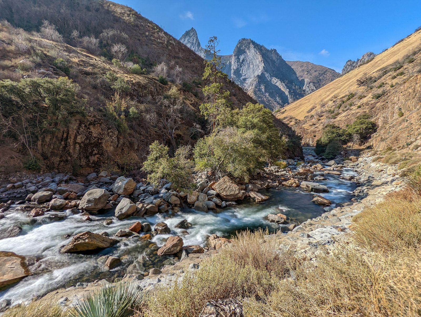
Worth correcting here: this isn’t a purely flat walk. The National Park Service describes a 1–3-mile trail that crosses a riparian corridor near the river, then climbs gently across a rocky hillside and talus slope, genuinely easy, but with real, if minor, elevation change.
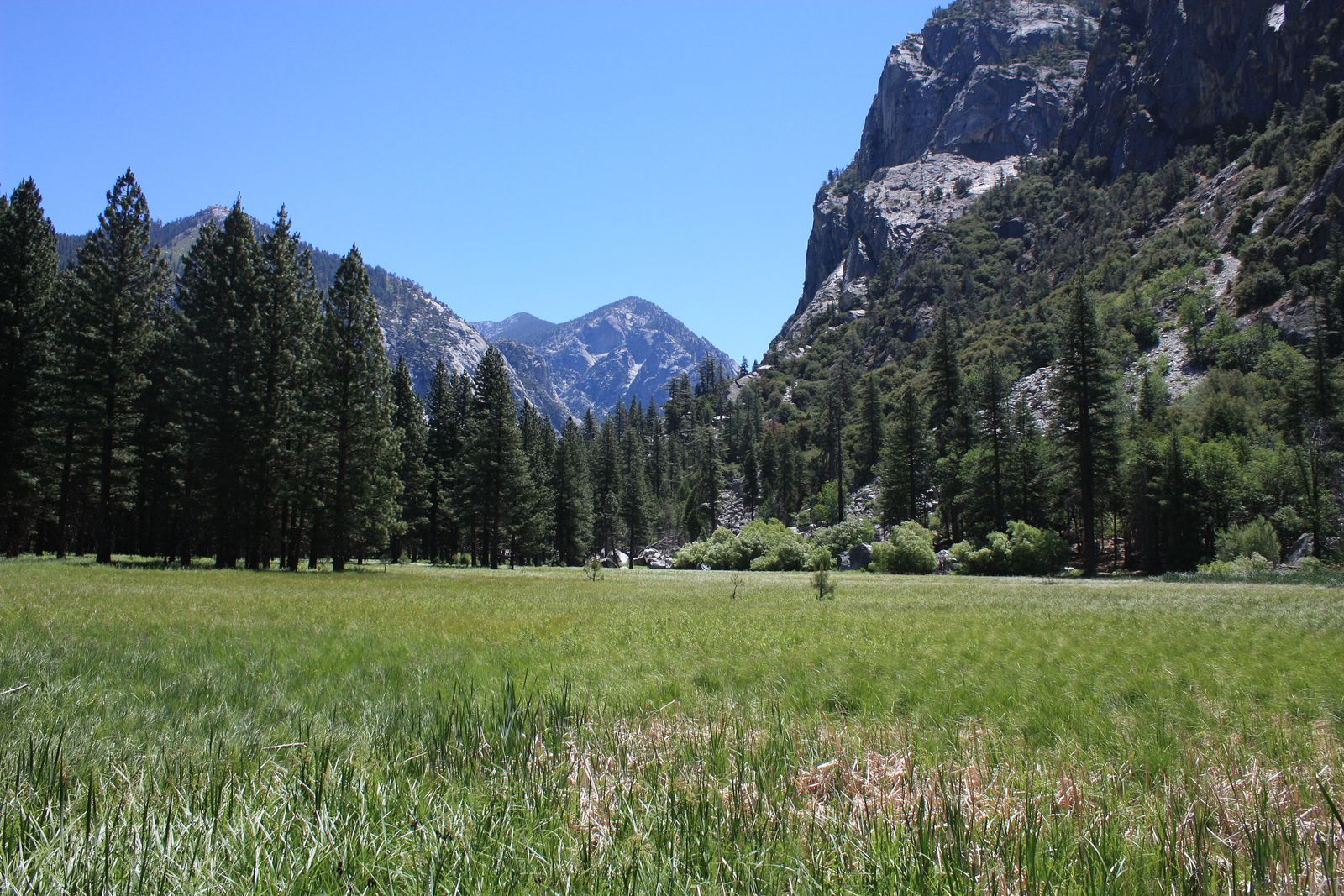
What you’ll see: granite walls comparable to Yosemite Valley, and active wildlife
The meadow itself sits beneath towering granite cliffs, and Kings Canyon at points rivals Yosemite Valley’s depth. This is also an active wildlife habitat; bears, yellow-bellied marmots, deer, and birds of prey are all regularly spotted from this trail, part of why proper food storage matters throughout Cedar Grove.
Best time to hike Zumwalt Meadow: summer, once the Cedar Grove Road opens
Highway 180 into Cedar Grove closes for winter in mid-November and typically reopens the fourth Friday of April; weather permitting, this and the next two trails in this guide are strictly seasonal because of it.
Roaring River Falls Trail (Cedar Grove)
If you want the single best reward-to-effort ratio of any trail on this entire site, this is it.
Trailhead access: a small Cedar Grove pullout
Park at the small lot along the Cedar Grove road system, one of the shortest-access waterfall trailheads anywhere in the park.
Difficulty, distance, and elevation gain to the falls
It’s a paved walk of well under half a mile round trip, with minimal elevation gain, genuinely one of the shortest trails covered anywhere on this site.
What you’ll see: a powerful waterfall through a narrow granite chute
Roaring River drops through a tight granite chute into a pool just steps from the parking area, throwing enough spray to create its own noticeable breeze on a hot day. A connecting River Trail links this waterfall to Zumwalt Meadow, letting you combine both into a single 3.9-mile lollipop route if you want more than either trail offers alone.
Best time to hike Roaring River Falls: early summer, for peak snowmelt flow
Like most Sierra waterfalls, this one is loudest and most powerful during late spring and early summer snowmelt, and noticeably quieter by late summer and fall.
Mist Falls Trail (Cedar Grove)
This is the longest, most demanding day hike in this guide, and it comes with a safety note worth reading before you go, not after.
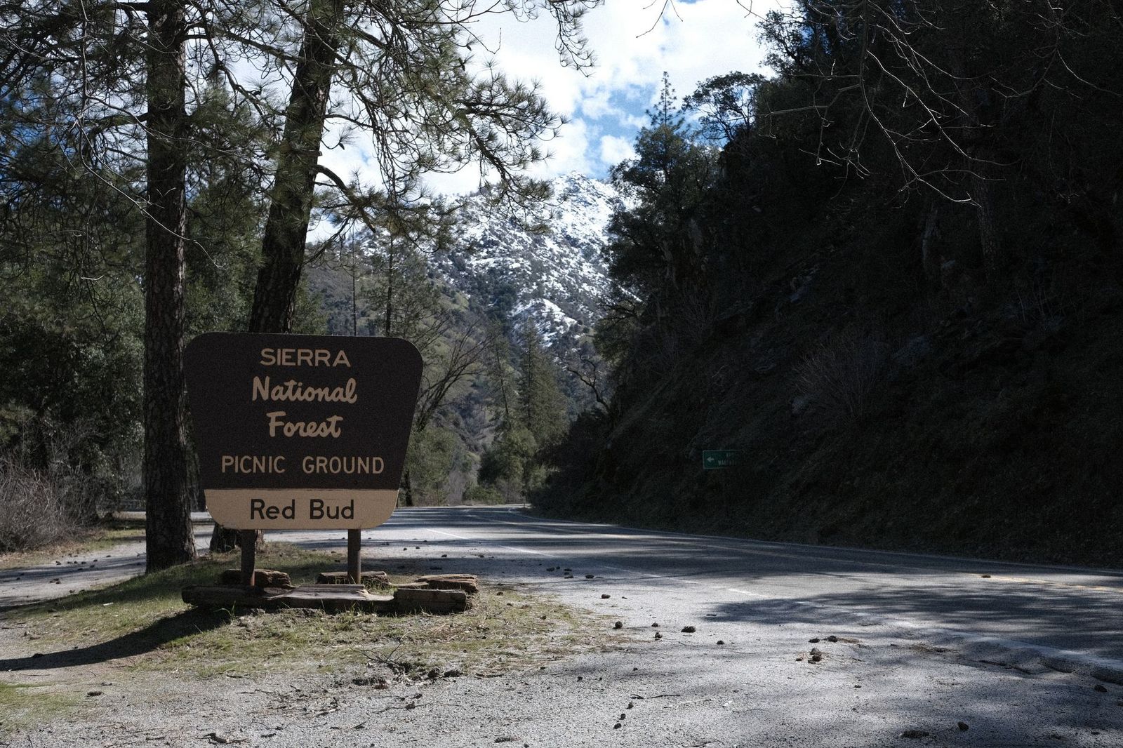
Trailhead access: the Road’s End Permit Station, the end of the paved road
This trailhead sits at the literal end of Highway 180 in Cedar Grove, at the Road’s End Permit Station, also the gateway to the multi-day Rae Lakes backcountry circuit, covered separately in my high-elevation Fresno County guide.
Difficulty, distance, and elevation gain to the falls
It’s 8 miles round trip, relatively flat and open for the first stretch before gaining about 600 feet in the final mile through forest, genuinely the most demanding day hike in this entire guide.
What you’ll see: one of the Sierra Nevada’s largest-volume waterfalls
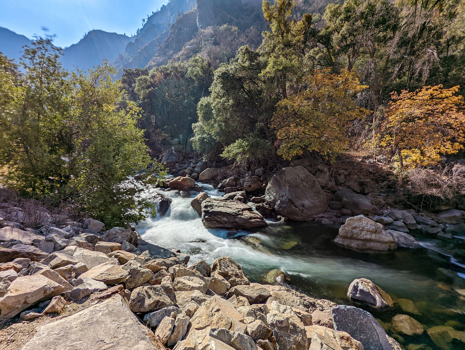
Mist Falls throws enough spray to coat the surrounding granite, and by some measures ranks among the largest-volume waterfalls in the entire Sierra Nevada. One safety note worth taking seriously: drowning here is the most common cause of death in the entire park. The rocks around the falls stay slippery from constant mist, and currents below the surface are stronger than the water’s calm appearance suggests. This isn’t a trail-etiquette footnote; it’s a real, documented risk specific to this exact location, closely tied to the water hazards worth understanding before any hike near fast-moving Sierra water.
Best time to hike Mist Falls: early morning, to beat both the heat and the crowds
Start early for two separate reasons: the canyon traps heat by midday, and this is consistently one of the most popular hikes in Cedar Grove.
Which of these five to hike first
If your visit is short, pair the General Grant Tree with Big Stump Trail; both sit in Grant Grove, both are easy, and together they tell a fuller story than either alone. If you’ve got a full day and the Cedar Grove Road is open, Zumwalt Meadow and Roaring River Falls combine into one of the best half-day loops in this entire site’s coverage. And if you want the single biggest payoff this park offers on foot, Mist Falls is worth the early start.
Frequently asked questions
What are must-try hiking trails in Kings Canyon National Park?
The General Grant Tree Trail and Mist Falls Trail represent the two extremes of this park well, one an effortless, iconic five-minute walk, the other a genuine full-day wilderness hike to one of the Sierra’s biggest waterfalls.
What hiking trails are around Grant Grove in Kings Canyon?
The General Grant Tree Trail and Big Stump Trail are both in Grant Grove, within a few miles of each other near the park’s main entrance.
Is Cedar Grove Road open year-round?
No. It closes for winter in mid-November and typically reopens on the fourth Friday of April, weather permitting. Check current conditions before planning a Cedar Grove visit outside summer.
Is the General Grant Tree the biggest tree in the world?
No, it’s the second-largest by volume. The General Sherman Tree, in neighboring Sequoia National Park, holds the title of largest.
Is Mist Falls Trail hard?
It’s moderate but genuinely long, 8 miles round trip with most of the climbing concentrated in the final mile, enough to make it the most demanding day hike in this guide.
Do you need a permit to hike in Kings Canyon National Park?
Not for any of the five day hikes in this guide; a standard park entrance fee covers them all. Overnight wilderness trips, including the Rae Lakes Loop from the Mist Falls trailhead, do require a separate wilderness permit.