Hiking Trails in Mariposa County, California
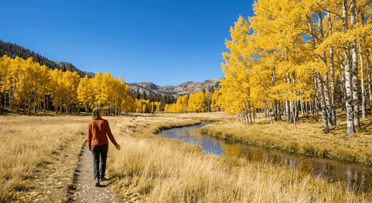
Mariposa County isn’t Yosemite, technically, but it’s the southern gateway most Highway 41 visitors actually pass through, home to Mariposa Grove’s giant sequoias, the historic Wawona area, and a network of foothill and canyon trails entirely outside the park boundary. I’ve spent four-plus years cataloging trails across this state, and this county rewards hikers who treat it as a real destination rather than just a drive-through on the way to Yosemite Valley; the trails here see genuinely lighter crowds than the Valley floor, despite delivering comparable scenery in several cases.
Disclosure: Please note that some of the links below are affiliate links and at no additional cost to you, I may earn a commission. Know that I only recommend hiking gear I personally stand behind; when you use my affiliate links, it helps me run this blog and keep all of this content free of charge for readers (like you).
This guide covers all three of the county’s hiking zones, plus the shuttle and access details worth knowing before you go. Exploring the best Hiking Trails in Mariposa County is the ultimate way to enjoy stunning Sierra scenery without the national park congestion.
Key takeaways:
- Mariposa County spans three hiking zones: the Yosemite southern corridor (Mariposa Grove, Wawona), the Merced River Canyon (Highway 140), and the Sierra National Forest foothills near Oakhurst.
- Mariposa Grove requires a free shuttle from the South Entrance parking area whenever it’s running (roughly April 15–November 30); a 2-mile walk-in via the Washburn Trail is the alternative when it’s not.
- Chilnualna Falls, in Wawona, is Yosemite’s best waterfall hike outside the Valley and sees a fraction of the Valley trails’ crowds.
- Hite Cove Trail delivers some of the best wildflower displays in the entire Sierra Nevada foothills, though it has a history of fire-related closures worth checking before a spring trip.
- None of the main trails in this guide require a wilderness permit for day use.
Related
- Easy & Short Hikes in Yosemite National Park
- Yosemite National Park Maps & Trailhead Navigation Guide
- Upper Yosemite Falls Hiking Guide
- Yosemite Permits & Wilderness Access Guide
- 5 Best Hiking Trails Near Yosemite’s Southern Entrance, Mariposa County
- 5 Best Waterfall Hiking Trails in Mariposa County
Why Mariposa County is the southern gateway to Yosemite’s best hiking
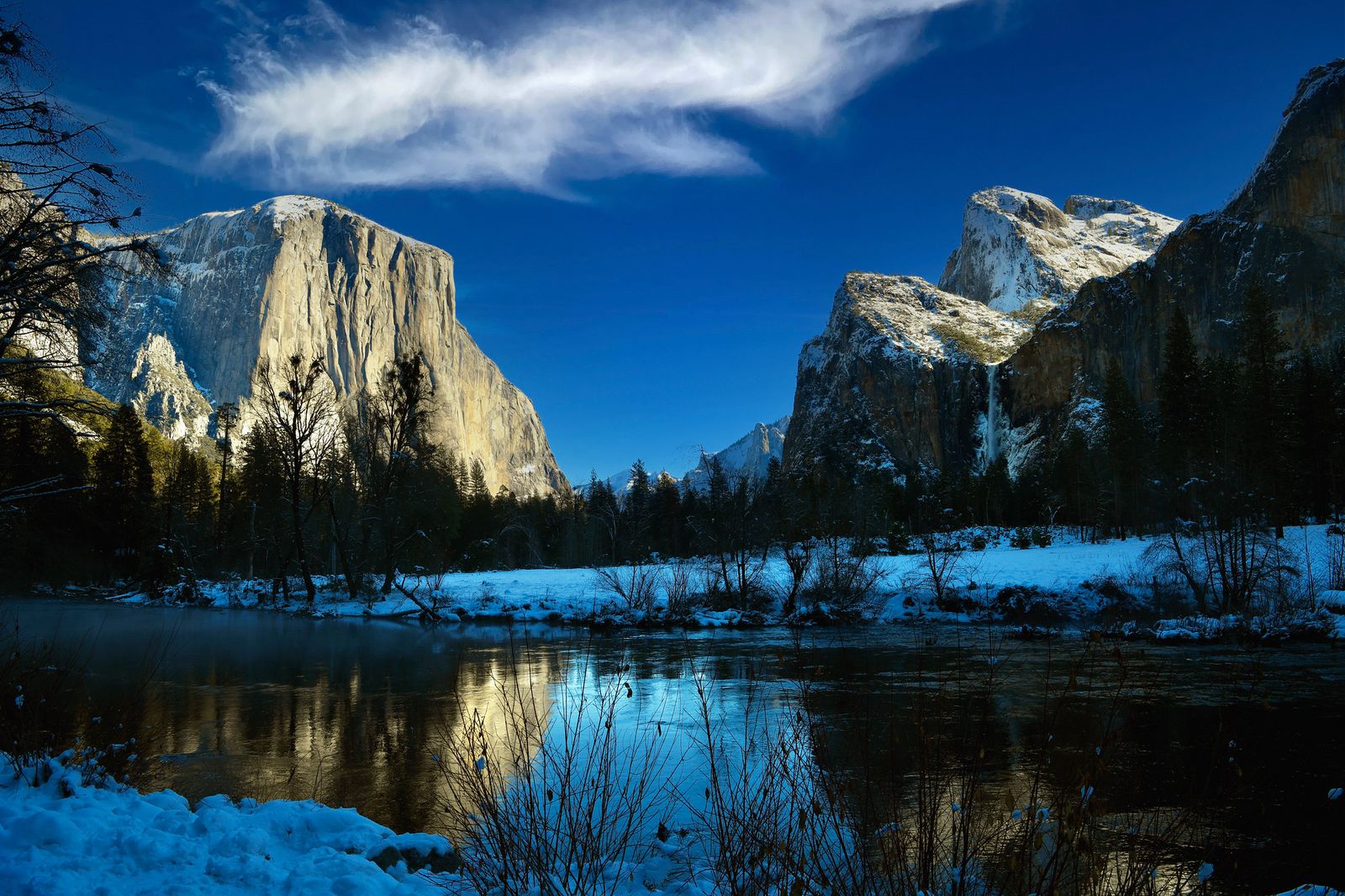
Mariposa County encompasses Yosemite’s southern entrance along the Highway 41 corridor, the Wawona area (Mariposa Grove, the Pioneer Yosemite History Center), Merced River canyon trails, and the southern border of Sierra National Forest, with over 200 miles of trails across genuinely varied terrain, from giant sequoia groves to river canyon wildflower corridors. That same Yosemite access corridor continues north into the hiking trails in Tuolumne County, the park’s other major gateway.
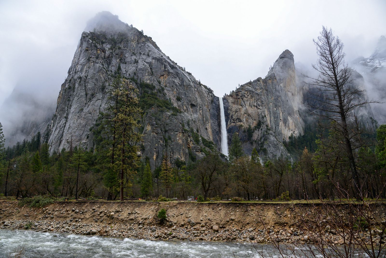
Mariposa County’s three hiking zones
The Yosemite Southern Corridor (Mariposa Grove, Wawona Meadow, Chilnualna Falls) sits entirely within Yosemite via the South Entrance, offering a quieter alternative to Valley-based hiking without giving up any of the park’s signature scenery.
The Merced River Canyon (Highway 140 corridor, El Portal, the Briceburg/Savage’s Trading Post area) follows the river outside the park boundary, with some of the best spring wildflower hiking in the region and a genuinely different, drier canyon feel than the forested Wawona side.
And the Sierra National Forest / Mariposa foothills zone, accessible from Oakhurst and North Fork, adds waterfall and lake hikes on the county’s southern edge, useful if you’re staying south of the park proper. That same national forest belt continues into Madera County, home to Bass Lake and more of the same foothill terrain.
Best hiking trails at Mariposa Grove, Yosemite’s giant sequoia forest
Mariposa Grove holds Yosemite’s largest stand of giant sequoias, roughly 500 mature trees, across about 5 miles of trails, free with standard park entry and requiring no separate reservation for regular hiking, though a free shuttle from the South Entrance parking area is required whenever it’s running, roughly April 15 through November 30 depending on conditions.
When the shuttle isn’t operating, a 2-mile walk-in via the Washburn Trail or Mariposa Grove Road (each with about 500 ft of elevation gain) is the alternative, and it’s the only option in winter.
Grizzly Giant Loop: Mariposa Grove’s best short giant sequoia hike
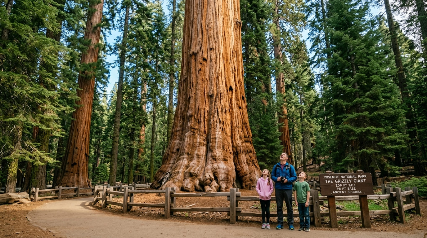
At 2 miles round-trip from the shuttle drop-off, this loop passes the Grizzly Giant, the largest tree in the grove at 96 ft in circumference, along with the still-standing California Tunnel Tree and the Bachelor and Three Graces cluster.
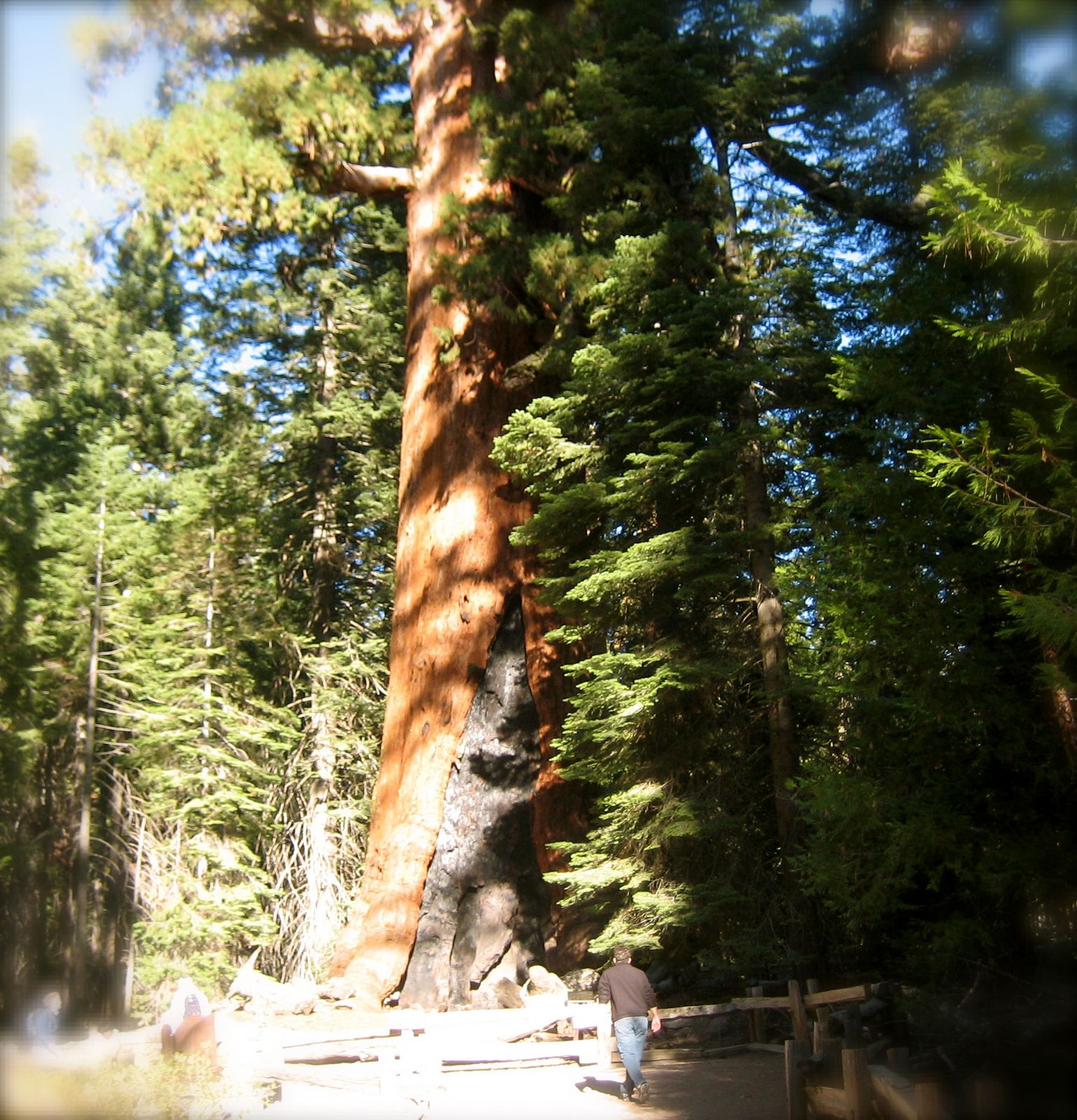
The terrain is flat to gently rolling, making it accessible for most fitness levels, and it’s the trail most first-time visitors should prioritize if time is limited, since it hits the grove’s most recognizable landmarks in the shortest distance.
Mariposa Grove Trail to Wawona Point: the full grove summit hike
At 6.5 miles round-trip with about 1,200 ft of gain, this route continues past the Grizzly Giant into the grove’s upper section, noticeably less crowded than the lower loop, before reaching Wawona Point for panoramic views above the sequoia canopy.
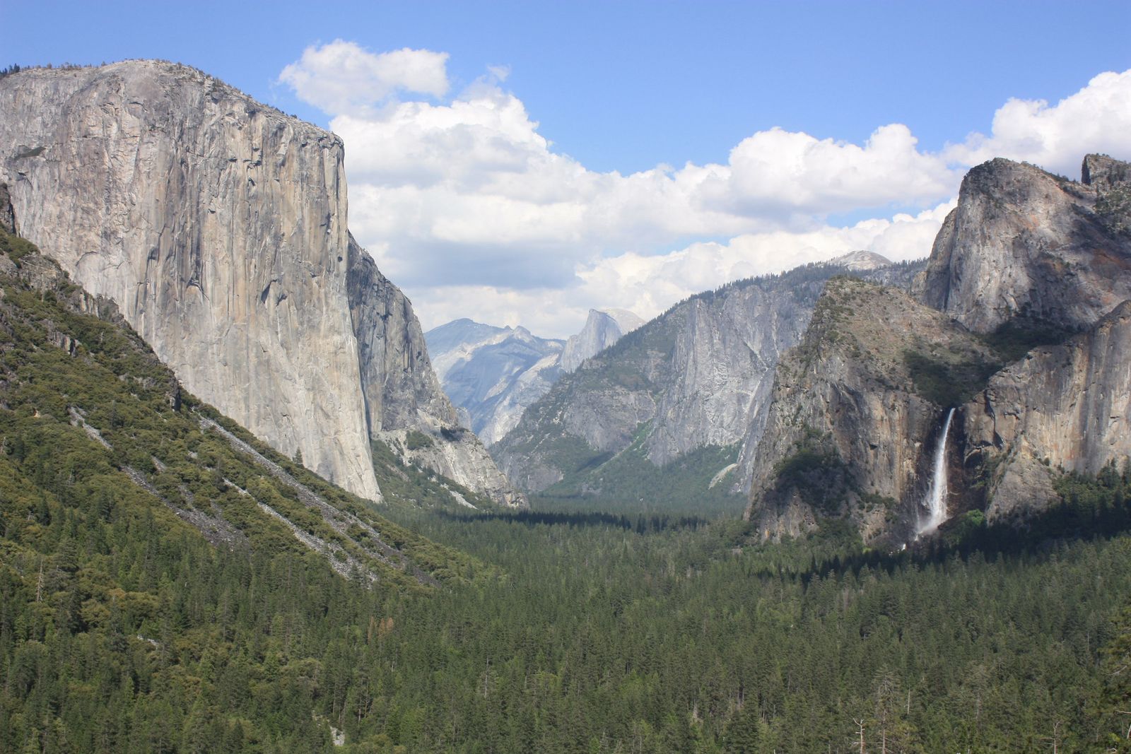
It connects to the Wawona Meadow Loop at the bottom, making it possible to combine both hikes into one longer day if you’re willing to commit to the extra mileage.
Best hiking trails near Wawona, Mariposa County
Wawona, home to the historic Wawona Hotel and the Pioneer Yosemite History Center, anchors southern Yosemite’s hiking scene outside the Mariposa Grove itself, and it’s genuinely worth treating as a base rather than just a stop on the way to the Valley.
Chilnualna Falls Trail: Mariposa County’s best waterfall hike in Yosemite
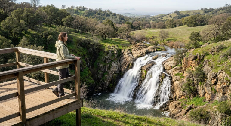
At 8.4 miles round-trip with about 2,200 ft of gain from the Wawona trailhead, this trail climbs to a multi-tiered cascade with five distinct falls sections, best viewed during peak flow in May and June before snowmelt tapers off later in summer.
It’s a genuine all-day commitment, but significantly less crowded than the Valley’s waterfall trails, and no permit is needed for a day hike, just real fitness and an early start given the total elevation gain, since the climb is sustained rather than concentrated in one short steep section.
Wawona Meadow Loop: the most relaxing easy hike in southern Yosemite
This flat, 3.5-mile loop circles a historic golf course perimeter with meadow wildflowers in spring and summer, deer sightings common at dawn and dusk, and views of the Wawona Hotel from parts of the trail.
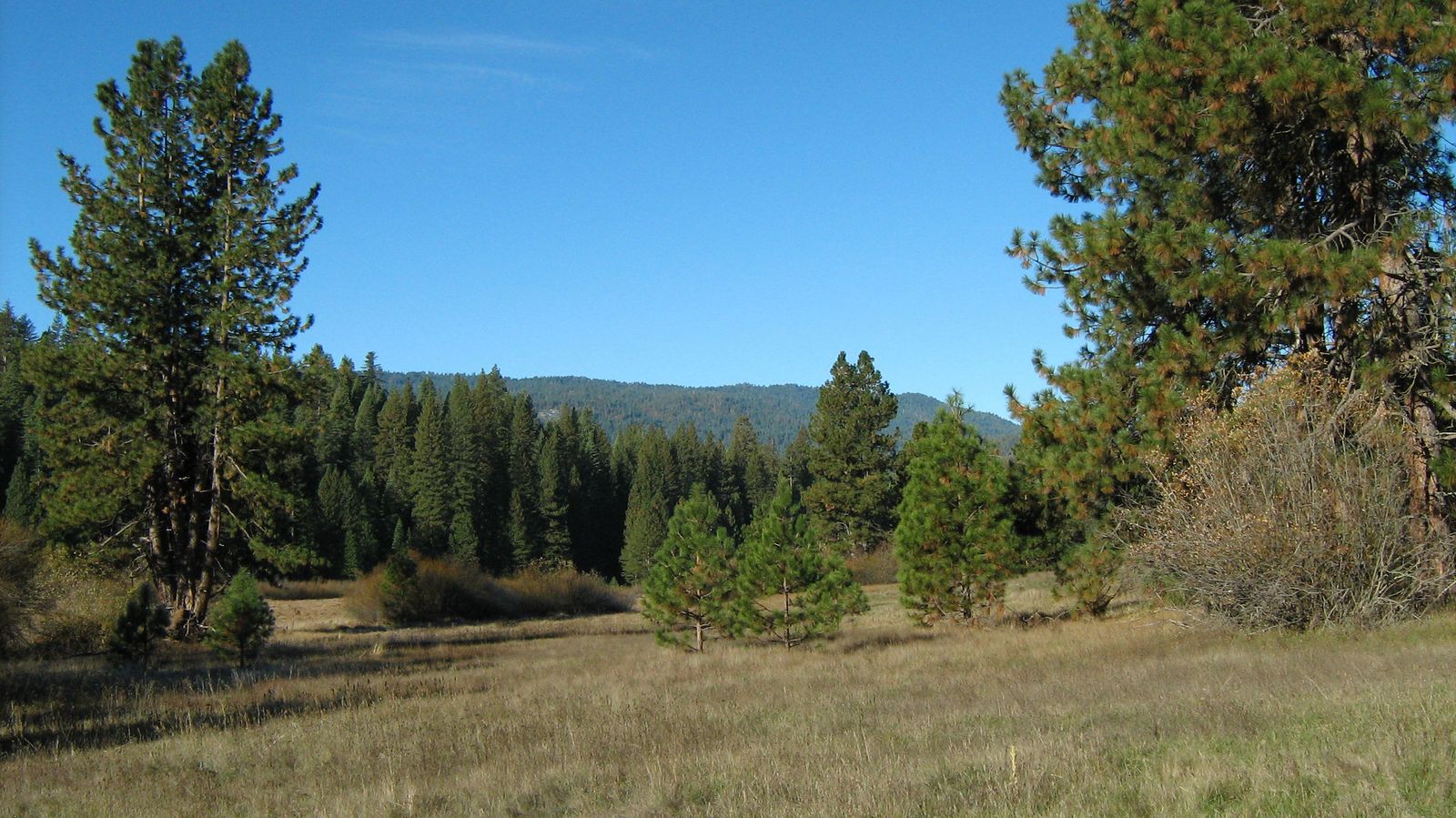
No permit is required; it’s free with standard park entry, and it’s accessible directly from the Wawona parking area, a strong choice for anyone wanting real Yosemite scenery without a demanding climb, or a good cooldown walk after a harder hike like Chilnualna Falls earlier in the day.
Best hiking trails along the Merced River Canyon, Mariposa County
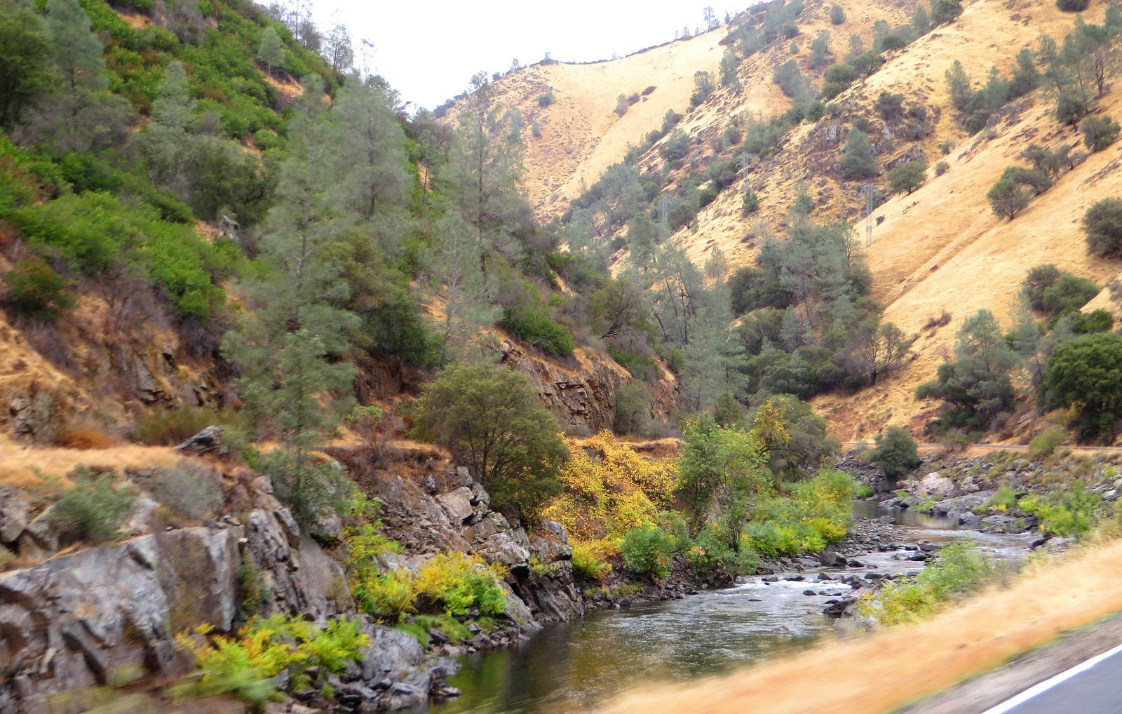
Outside the park boundary, the Merced River Canyon along Highway 140 offers wildflower hiking, historic mining sites, and river access through the El Portal and Briceburg areas, a genuinely different landscape from Wawona’s forested terrain, drier and more open, with the river itself as the constant thread through the canyon.
Hite Cove Trail: Mariposa County’s best spring wildflower canyon hike
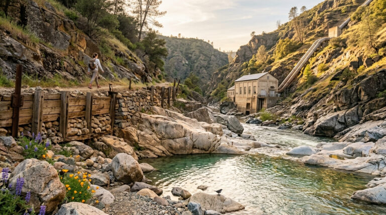
At 7.2 miles round-trip with about 1,200 ft of gain from the trailhead, this trail delivers what’s widely considered the best wildflower display in the entire Sierra Nevada foothills: poppies, lupine, and shooting stars typically peaking February through April, with more than 60 documented wildflower varieties along the route.
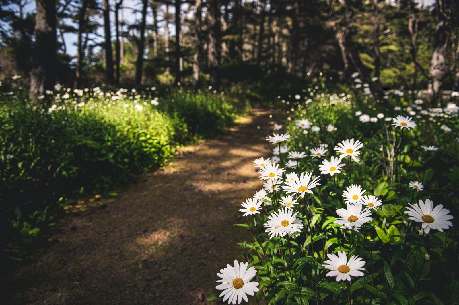
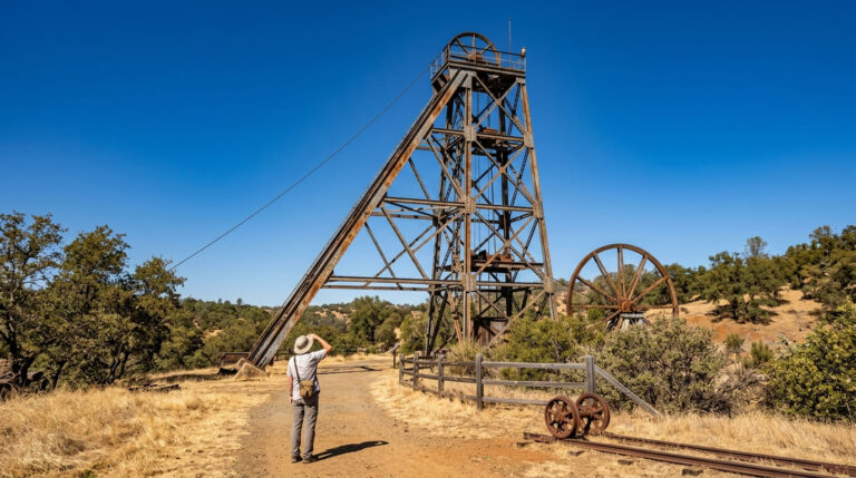
The trail ends at the ruins of the historic Hite Mine, a real payoff for hikers interested in Gold Rush-era history alongside the scenery.
It has a real history of fire-related closures; it was shut for an extended period after the 2018 Ferguson Fire, so check current Sierra National Forest conditions before a trip, especially since the route can also become impassable after heavy rain regardless of fire history, and the first three-quarters of a mile crosses private property where trail etiquette matters more than usual.
Best hiking trails in the Sierra National Forest, Mariposa County
South of Yosemite, the Sierra National Forest section accessible from Oakhurst and North Fork adds waterfall and lake hikes on the county’s southern edge, including the Bass Lake and Fresno Dome areas, a good option if you’re staying in Oakhurst rather than closer to the park entrance.
Lewis Creek Trail: Sierra National Forest’s best waterfall hike near Mariposa County
At 3.4 miles round-trip with about 600 ft of gain, this trail from Cedar Valley off Highway 41 reaches both Corlieu Falls and Red Rock Falls in one hike, passing a visible historic logging flume along the way that hints at the area’s earlier timber industry.
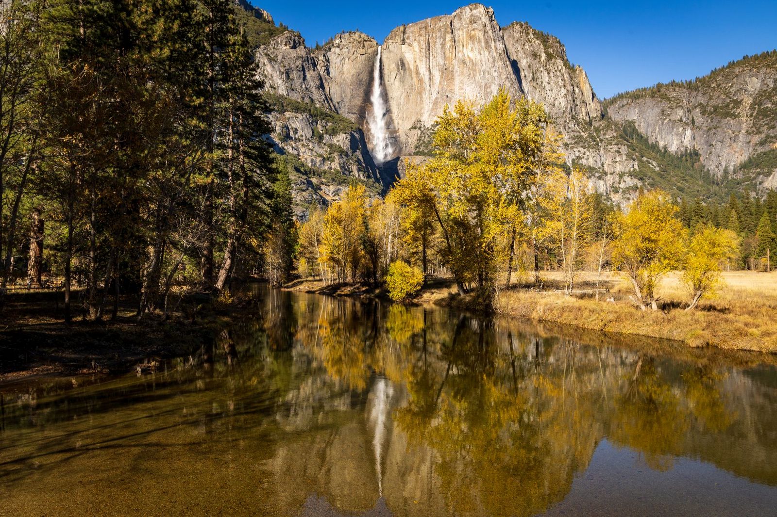
Best flow runs May through June, tapering off through the drier summer months, and parking is free at the trailhead (no Adventure Pass or parking fee required), since the two systems aren’t interchangeable.
If you’re building broader hiking skills, our hiking safety guide covers preparation worth reviewing before a longer Wawona or Merced Canyon hike, and checking a trail’s current difficulty rating matters especially for a full-day commitment like Chilnualna Falls. Whichever zone you start with, Mariposa County’s mix of easy meadow walks and genuine all-day climbs means there’s a realistic option here regardless of how much time or energy you have on a given day.
Frequently asked questions: hiking trails in Mariposa County
What hiking trails are near the Yosemite South Entrance in Mariposa County?
Mariposa Grove, the Wawona Meadow Loop, and Chilnualna Falls are all accessible from or near the South Entrance, making Wawona the natural base for this part of the county.
How do I get to Mariposa Grove, and is a shuttle required?
Park at the South Entrance’s Welcome Plaza and ride the free shuttle, which runs roughly April 15 through November 30 depending on conditions; when the shuttle isn’t operating, a 2-mile walk-in via the Washburn Trail or Mariposa Grove Road is the alternative.
Is Chilnualna Falls worth hiking compared to Yosemite Valley waterfalls?
Yes, it delivers a genuinely dramatic multi-tiered cascade with a fraction of the crowds found at Valley waterfall trails, though it demands a full day and real fitness given its 2,200 ft of elevation gain.
When do wildflowers bloom on the Hite Cove Trail near Mariposa?
Typically February through April, with peak displays varying year to year based on rainfall. Check current trail conditions before a trip, since the route has a history of fire-related closures and can also become impassable after heavy rain.
Is Wawona a good base for hiking in Yosemite?
Yes, it puts Mariposa Grove, the Wawona Meadow Loop, and Chilnualna Falls all within easy reach, and it’s noticeably quieter than staying in Yosemite Valley itself.
What hiking trails in Mariposa County are open year-round?
Lower-elevation trails like the Wawona Meadow Loop and the Merced River Canyon trails stay accessible essentially year-round, while Mariposa Grove’s shuttle and some higher terrain follow a seasonal schedule tied to snow and road conditions.