Hiking Trails in Ventura County, California
The hiking trails in Ventura County stretch from Ojai’s meditation-and-hiking culture beneath the Topa Topa Bluffs to Point Mugu’s coastal wilderness and the Sespe’s remote condor sanctuary, offering genuinely varied terrain that most people driving up the 101 never realize is this close to LA.
Disclosure: Please note that some of the links below are affiliate links and at no additional cost to you, I may earn a commission. Know that I only recommend hiking gear I personally stand behind; when you use my affiliate links, it helps me run this blog and keep all of this content free of charge for readers (like you).
I’ve spent four-plus years cataloging trails across this state, and Ventura County is also one where “check before you go” matters more than almost anywhere else I cover, given its real, ongoing history of fire and storm-related trail closures that have played out in waves over the past several years. This guide covers all four of the county’s hiking zones, plus an honest look at current access rather than a blanket assurance that everything is open.
Key takeaways:
- Ventura County spans four hiking zones: the Ojai Valley, the Santa Monica Mountains/Point Mugu coast, the Los Padres National Forest north of Ojai, and the Oxnard/Camarillo coast (Channel Islands mainland access).
- The 2017 Thomas Fire burned extensively through Ojai-area Los Padres National Forest, and recovery has been slow and uneven: some trails, like Pratt Trail, are confirmed open; others have a more mixed or uncertain status.
- Rose Valley Falls Trail’s current status is genuinely unclear from available sources; check Los Padres National Forest’s current alerts before planning a trip around it specifically.
- Point Mugu State Park and the Sespe Wilderness both require an Adventure Pass or day-use fee, but no reservation is required for day hiking.
- The Sespe Wilderness is active California condor territory; sightings are a real possibility on the Sespe Hot Springs trail.
Related
- Yosemite Weather by Month: Winter, October, January & More
- Channel Islands National Park: How to Get There & Hike
- 5 Best Hiking Trails in Ojai, Ventura County
- 5 Best Coastal Hiking Trails in Ventura County
Why Ventura County is Southern California’s best hiking county beyond LA
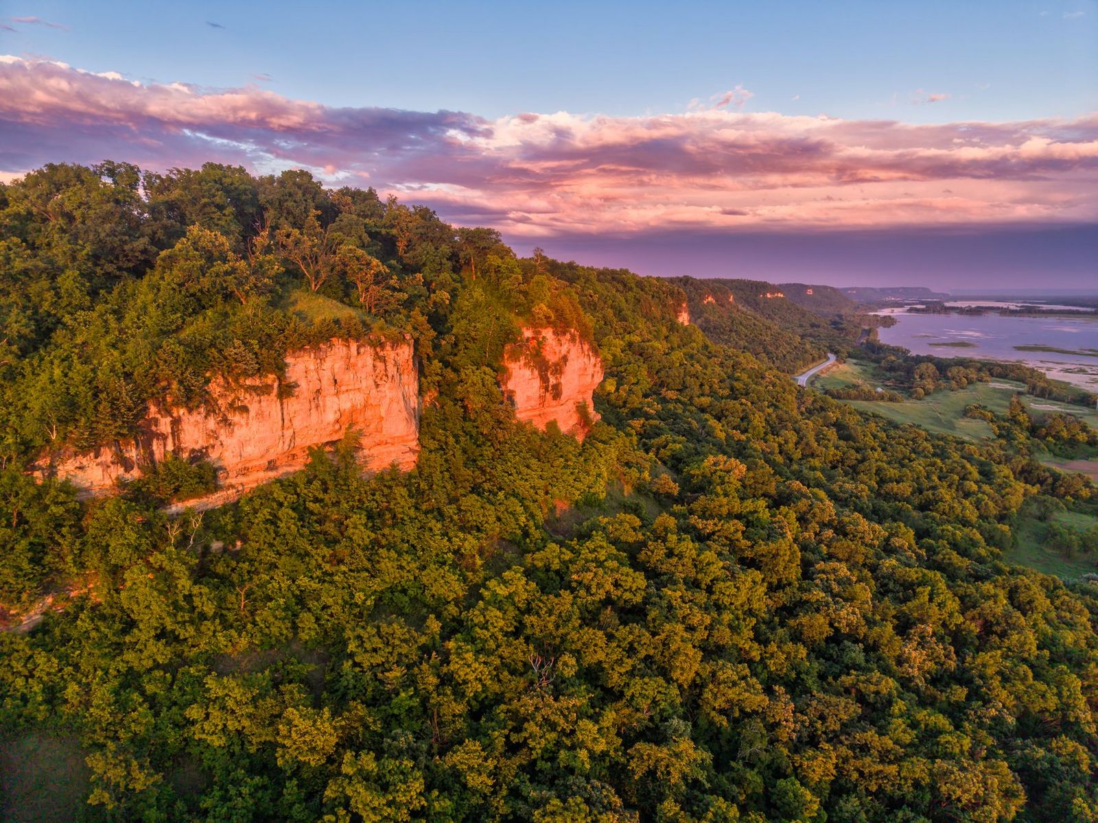
Ventura County’s hiking profile includes the Ojai Valley beneath the 6,627 ft Topa Topa Bluffs, Point Mugu State Park (one of the south coast’s best coastal wilderness areas), Los Padres National Forest’s Sespe Wilderness and condor sanctuary, the western end of Santa Monica Mountains National Recreation Area, and mainland access to Channel Islands National Park.
Ventura County’s four hiking zones
The Ojai Valley (Topa Topa Bluffs, Chief Peak, Rose Valley Falls, Sespe Creek) combines a distinctive meditation-and-wellness town culture with real mountain access right at its edge, though it’s also the zone most affected by the county’s fire and storm history.
The Santa Monica Mountains / Point Mugu zone (La Jolla Valley, Chumash Trail, Sycamore Canyon) delivers coastal grassland and canyon hiking along the county’s southern coast, with a more stable, less closure-prone access record. That same range continues east into the hiking trails in Los Angeles County, where the Santa Monica Mountains National Recreation Area picks up the coast.
Los Padres National Forest North (Pine Mountain, Reyes Peak, Haddock Peak) offers higher-elevation terrain accessible via Highway 33, cooler than the valley floor and a good summer option when Ojai itself is baking in the heat.
And the Oxnard/Camarillo Coast rounds out the county with Channel Islands National Park’s mainland visitor center and ferry access, plus McGrath State Beach trails, for anyone wanting flatter, coastal terrain closer to the water.
Best hiking trails near Ojai, Ventura County
Ojai’s trail network sits right at the edge of a town known for its wellness and meditation culture, with the Topa Topa Bluffs (rising to roughly 6,300 ft) visible from nearly everywhere in the valley. Ojai’s mountains are the eastern edge of the same range that runs into Santa Barbara County along the coast.
Pratt Trail to Nordhoff Peak: Ojai’s most rewarding summit hike
At roughly 12 miles round-trip with about 3,500 ft of gain from a trailhead right in Ojai, this trail climbs to the 4,485-ft summit of Nordhoff Peak with Topa Topa Bluffs visible throughout the ascent. It’s genuinely strenuous; most hikers instead do the first ridge section (about 4 miles round-trip) as a shorter, moderate option rather than committing to the full summit push.
An Adventure Pass is required, and the trail is currently confirmed open per the official Los Padres National Forest trailhead page, though the surrounding Ojai trail network has a real history of Thomas Fire and storm-related closures, so a quick alert check before you go is worth the two minutes it takes.
Rose Valley Falls Trail: Ojai’s best waterfall day hike (check current status)
Under normal conditions, this is a 3-mile round-trip with about 600 ft of gain from the Rose Valley Campground trailhead off Highway 33, leading to a two-tiered, roughly 300-ft waterfall, one of the tallest in Southern California, with best flow November through April.
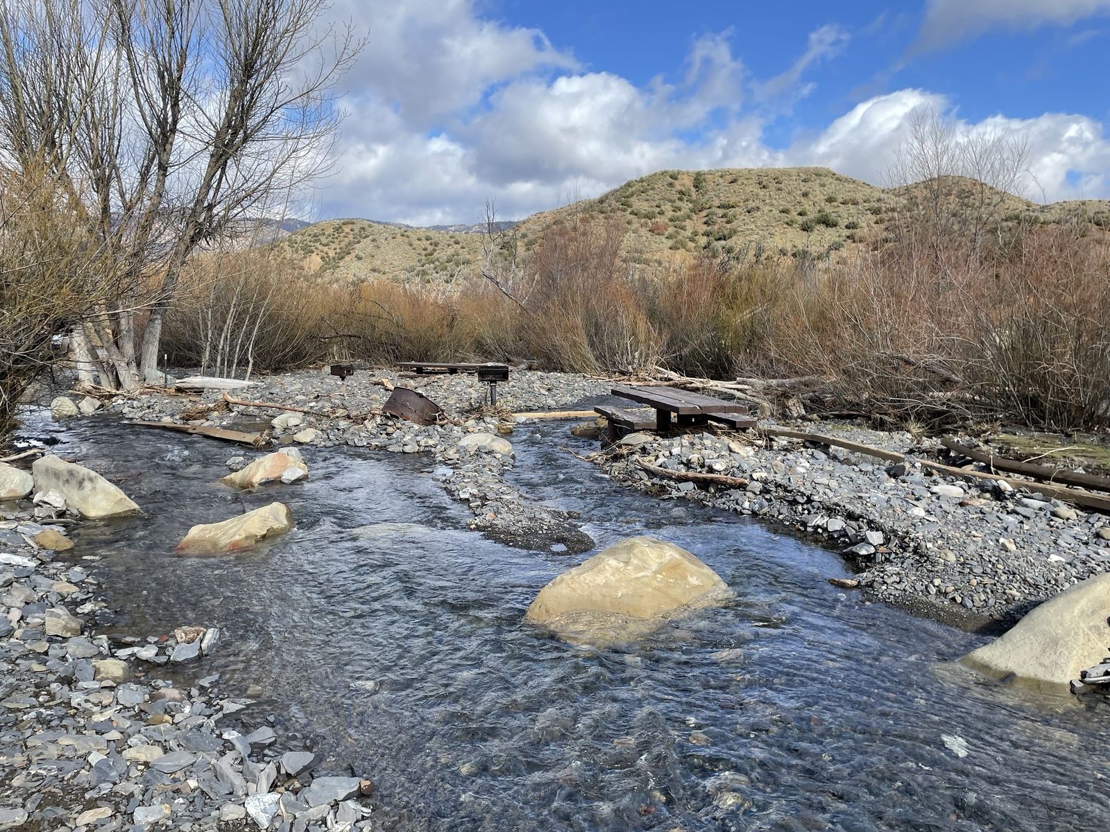
The trail’s current status is genuinely unclear: it was listed among trails still closed following a March 2023 Los Padres National Forest order after major winter storm damage, but the forest’s current official trail page carries no closure notice.
Given that ambiguity, check the Los Padres National Forest alerts page or call the Ojai Ranger District directly before planning a trip specifically around this waterfall (Adventure Pass required either way).
Shelf Road Trail: Ojai Valley’s best easy scenic walk
This flat, 3.5-mile round-trip trail follows a historic Ventura River canal shelf above the valley, with citrus orchard views and the Topa Topa Bluffs as a constant backdrop the entire way.
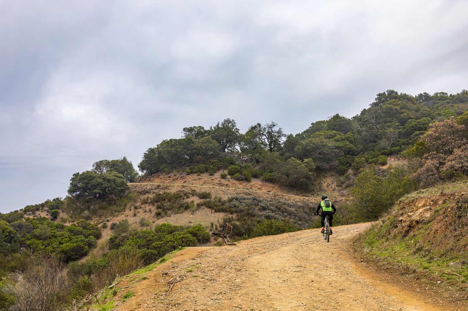
Managed by the Ojai Rotary Club rather than a state or federal agency, it’s free, requires no permit, and is a genuinely popular sunset walk for locals; parking at the trailhead is limited, so arrive early or expect to wait for a spot on a nice evening, especially on weekends when the whole valley seems to have the same idea.
Best hiking trails in Point Mugu State Park, Ventura County
Point Mugu State Park covers 14,000 acres (one of the largest remaining undeveloped areas in the Santa Monica Mountains) with a $12 day-use fee and no reservation required for hiking. Unlike the Ojai-area Los Padres trails, Point Mugu doesn’t carry the same fire-closure baggage, making it a reliable fallback if you’re unsure about current conditions further north.
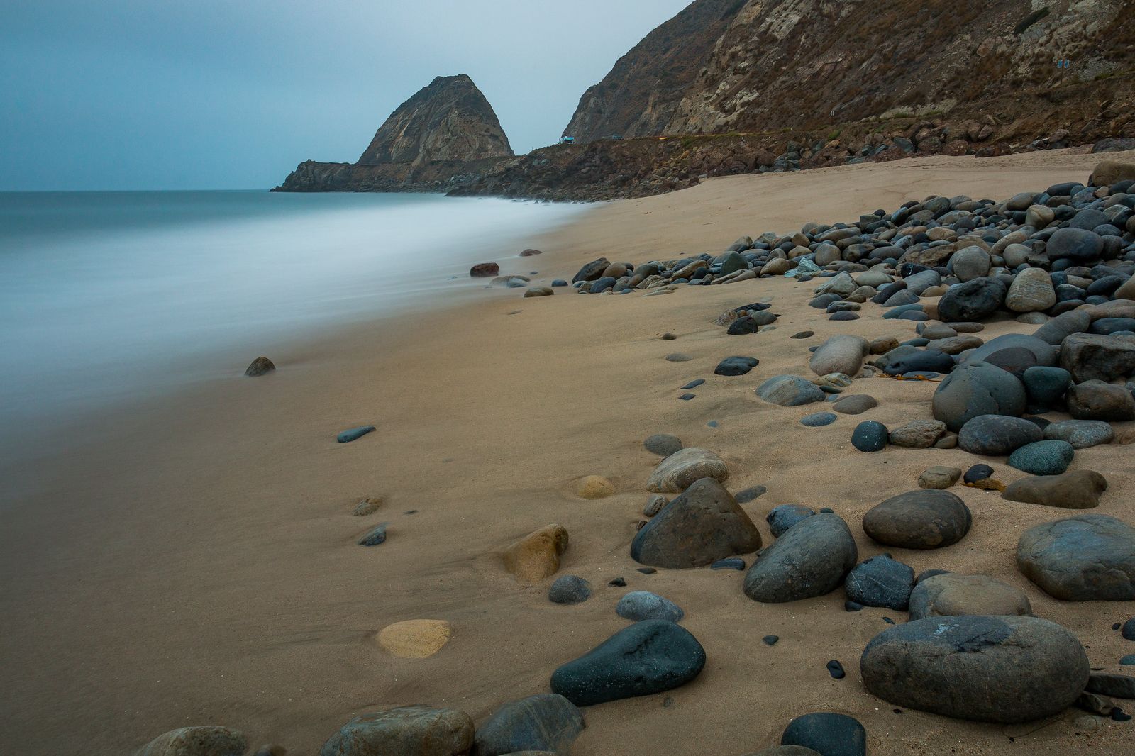
La Jolla Valley Loop: Point Mugu’s best grassland and ocean view hike
At 5.5 miles with about 800 ft of gain from the Ray Miller trailhead, this loop crosses a native bunch-grass restoration area with Pacific views from the ridge sections, offering a genuinely different landscape from the chaparral and canyon terrain that dominates most of the rest of the county. It’s also a real wildlife corridor (mountain lion territory, though sightings are genuinely rare and shouldn’t be a primary concern) and no reservation is needed beyond the standard day-use fee.
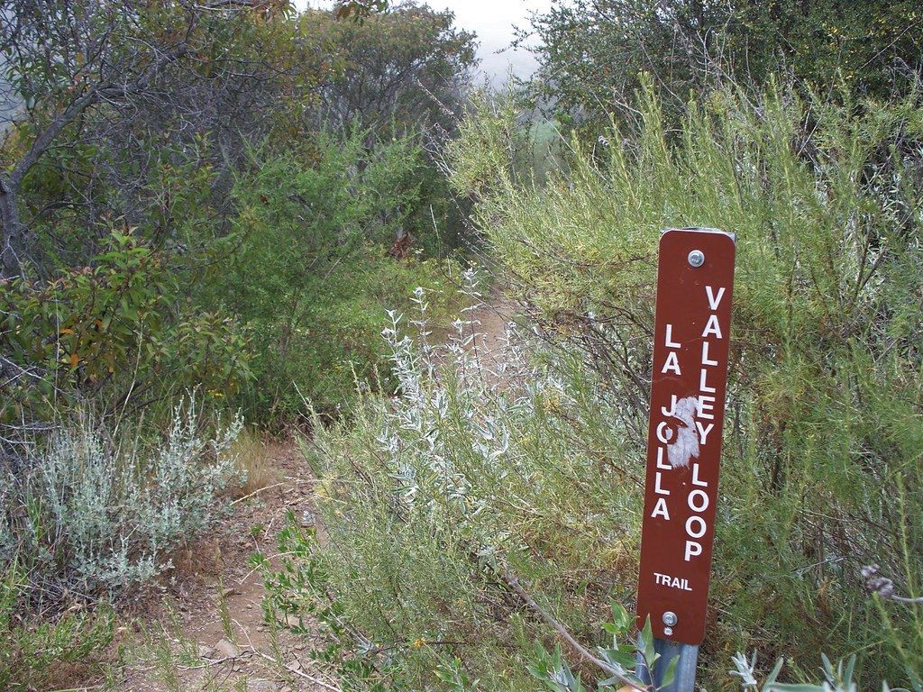
Sycamore Canyon Trail: Point Mugu’s best shaded canyon hike
Running roughly 8 to 9 miles one-way inland from the Big Sycamore Canyon campground, this flat canyon-floor trail passes through western sycamore woodland with genuinely striking fall color in October and November, a rare seasonal payoff for a Southern California coastal trail.
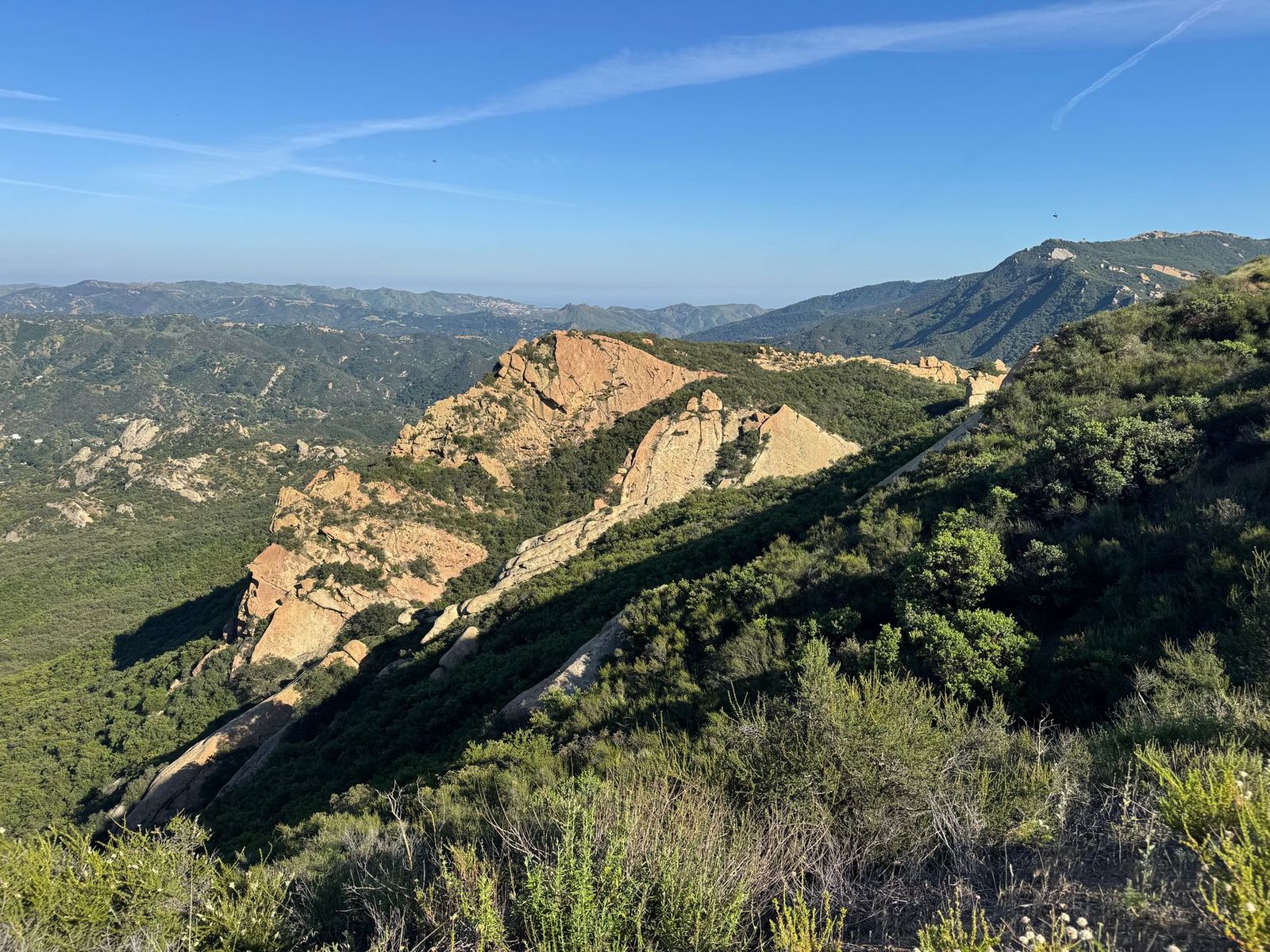
It connects to the Backbone Trail for hikers wanting to extend further into the broader Santa Monica Mountains network, and access is from the Sycamore Cove Beach parking area, subject to the same $12 day-use fee that covers the rest of the park.
Best hiking trails in the Sespe Wilderness, Ventura County
The Sespe Wilderness covers 219,034 acres of Los Padres National Forest, protecting Sespe Creek (one of the last free-flowing streams left in Southern California) and serving as an active California condor sanctuary tied to the species’ reintroduction program, one of the most successful endangered species recovery efforts in American conservation history.
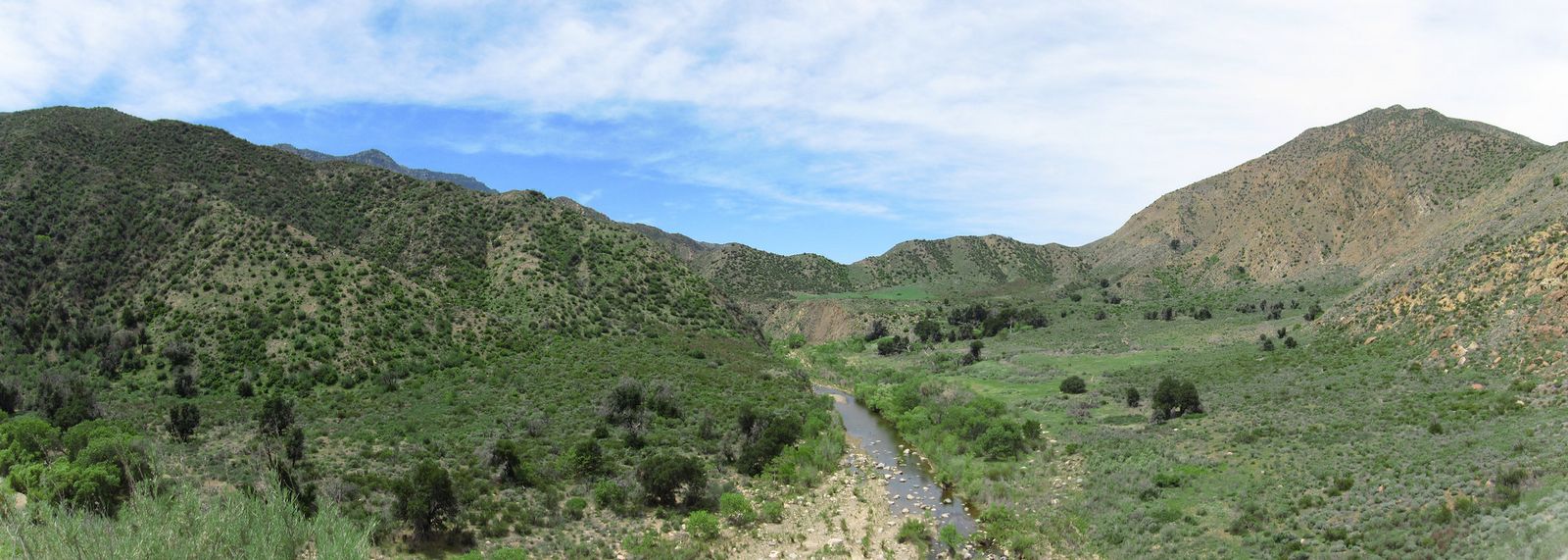
Sespe Hot Springs Trail: Ventura County’s most rewarding backcountry hike
At roughly 32 miles round-trip from the Piedra Blanca trailhead (via the Sespe River Trail), this trail reaches natural 104°F hot spring pools in a genuinely remote wilderness canyon; condor sightings are a real possibility along the way, given the area’s central role in the species’ recovery over the past several decades.
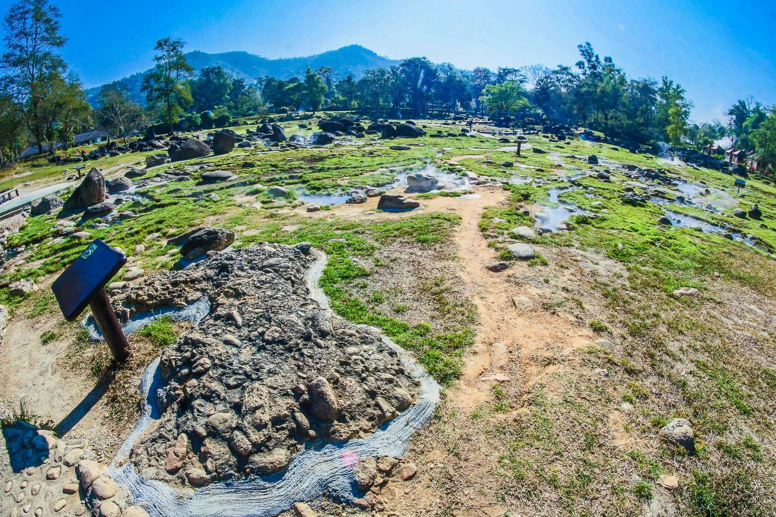
Fit hikers can do it as a long day hike in 10 to 12 hours; an overnight permit is required if you’re camping along the route rather than pushing through in a single push. Given this region’s documented history of fire and storm-related trail closures, confirming current Sespe-area access with the Ojai Ranger District before committing to a trip this remote is genuinely worth the phone call; a wasted multi-hour drive to a closed trailhead is a much bigger loss here than it would be for a short local trail.
If you’re building broader hiking skills, our hiking safety guide covers preparation worth reviewing before a remote trip like Sespe Hot Springs, and checking a trail’s current difficulty rating matters especially for the Pratt Trail’s full summit push.
Frequently asked questions: hiking trails in Ventura County
Are hiking trails open in Ojai, Ventura County right now?
Many are (Pratt Trail is confirmed currently open), but this region has a genuine, ongoing history of Thomas Fire and storm-related closures, so check the Los Padres National Forest alerts page or call the Ojai Ranger District before a trip, especially for less-traveled routes.
Are hiking trails open in Ventura County right now?
Most trails outside the fire-affected Ojai backcountry, including Point Mugu State Park and the Santa Monica Mountains trails, are reliably open year-round; the Ojai-area Los Padres National Forest trails are the ones worth double-checking given their closure history.
What are the best hiking trails in Ojai, California?
The Pratt Trail (or its shorter first-ridge option), Rose Valley Falls, and the Shelf Road Trail cover the range from strenuous summit hiking to an easy scenic valley walk.
What are the best hiking trails in Point Mugu State Park?
The La Jolla Valley Loop for grassland and ocean views, and the Sycamore Canyon Trail for shaded canyon hiking with fall color, are the two strongest options in the park.
Can I see California condors while hiking in Ventura County?
Yes. The Sespe Wilderness is active condor territory tied to the species’ reintroduction program, and the Sespe Hot Springs Trail specifically offers a real chance of a sighting.
Do I need a permit to hike in Los Padres National Forest in Ventura County?
Day hiking generally requires only an Adventure Pass for parking, not a hiking permit; overnight backcountry camping, including at Sespe Hot Springs, requires a separate wilderness permit.