Hiking Trails in Amador County, California
Amador County is California’s fifth-smallest county by land area, but the hiking trails in Amador pack an outsized amount of variety into that small footprint: a genuine river gorge, Gold Rush townsites you can walk between, one of the most significant Native American cultural sites in the state, and high Sierra terrain above 8,000 ft near Kirkwood. Most visitors pass through on Highway 88 without stopping for any of it, treating the county as a corridor to Tahoe rather than a destination in its own right.
Disclosure: Please note that some of the links below are affiliate links and at no additional cost to you, I may earn a commission. Know that I only recommend hiking gear I personally stand behind; when you use my affiliate links, it helps me run this blog and keep all of this content free of charge for readers (like you).
Key takeaways:
- Amador County holds three distinct hiking zones: the Mokelumne River Canyon, the Gold Country foothills around Sutter Creek and Jackson, and high Sierra access near Kirkwood and Silver Lake.
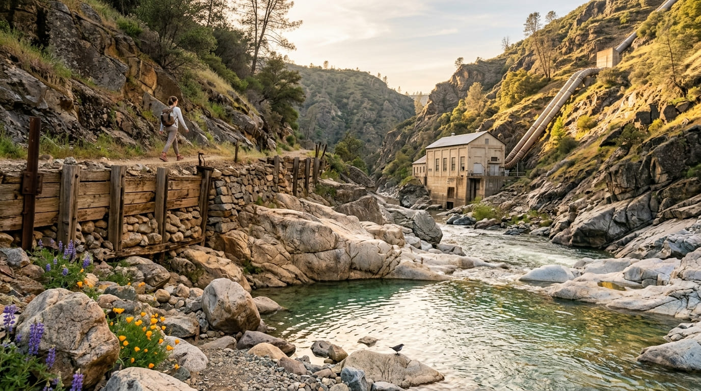
- The Electra Trail follows a historic 1900s hydroelectric flume along the Mokelumne River gorge, with a still-operational PG&E powerhouse along the route.
- Indian Grinding Rock State Historic Park protects Chaw’se, the largest collection of bedrock mortars in North America and a living Miwok cultural site, not just a historical ruin.
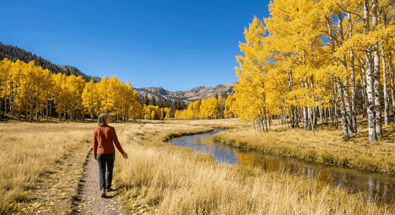
- Kirkwood Mountain Resort’s summer trail network sits at 7,800 ft, with non-motorized hiking trails accessing the surrounding Sierra peaks.
- Round Top Peak, near Caples Lake along the Alpine County border, reaches a 10,381-ft summit, making it the most demanding hike accessible from Amador’s eastern edge by a wide margin.
- A handful of Amador wineries in the Shenandoah Valley AVA offer vineyard walking paths, though these are casual walks rather than formal hiking trails.
Related
- 5 Best Hiking Trails in Amador County’s Gold Country
- 5 Best Hiking Trails Along the Mokelumne River, Amador County
Why Amador County offers unique Gold Rush history and river canyon hiking
Despite being California’s fifth-smallest county by land area, Amador packs in genuinely rich hiking: Gold Rush history through Sutter Creek, Jackson, and the Volcano townsite, the Mokelumne River gorge, Eldorado National Forest border access, and Kirkwood Mountain Resort’s summer trail network at 7,800 ft. Few counties this size offer this much range between historic town-walking and genuine alpine terrain.
Amador County’s three hiking zones
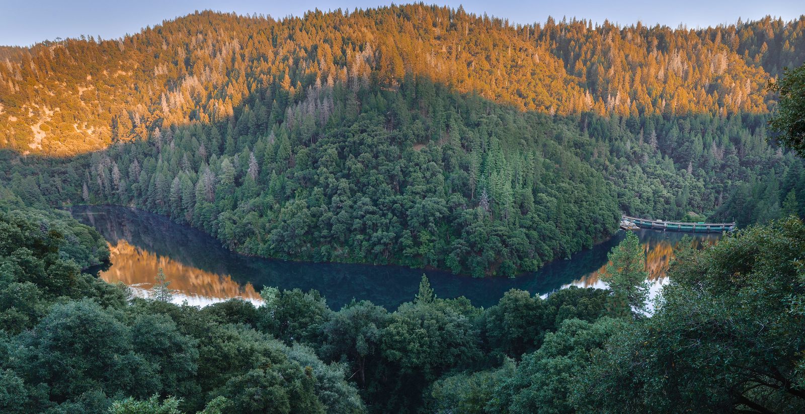
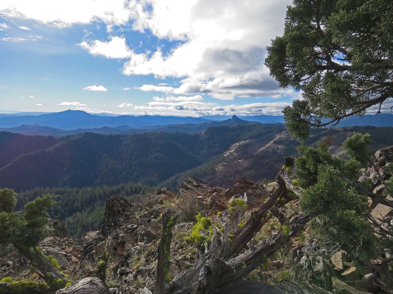
The Mokelumne River Canyon holds the county’s most dramatic terrain, including Middle Bar, Tiger Creek, and the historic Electra powerhouse trail, cutting a genuine gorge through the foothills.
The Gold Country foothills (Sutter Creek, Volcano, the Daffodil Hill area, and Indian Grinding Rock State Historic Park) add walkable history through the towns themselves, many of which have preserved their 1850s-era Main Streets almost entirely intact.
High Sierra access near Kirkwood, Silver Lake, and Bear River Reservoir rounds out the county with genuine alpine terrain, a completely different world from the river gorge below, both in elevation and in the kind of trip planning each one demands.
Best hiking trails along the Mokelumne River, Amador County
The Mokelumne River corridor offers canyon trails, historic hydroelectric infrastructure, and genuine swimming holes, mostly accessed via California Department of Fish and Wildlife roads rather than a formal state or national park trail system.
Electra Trail: Amador County’s best river canyon historical hike
A 4-mile round trip following a flume built for a 1900s-era hydroelectric project through the Mokelumne River gorge, passing the still-operational PG&E Electra Powerhouse along the way, offering a genuinely rare chance to see century-old infrastructure still doing its original job.
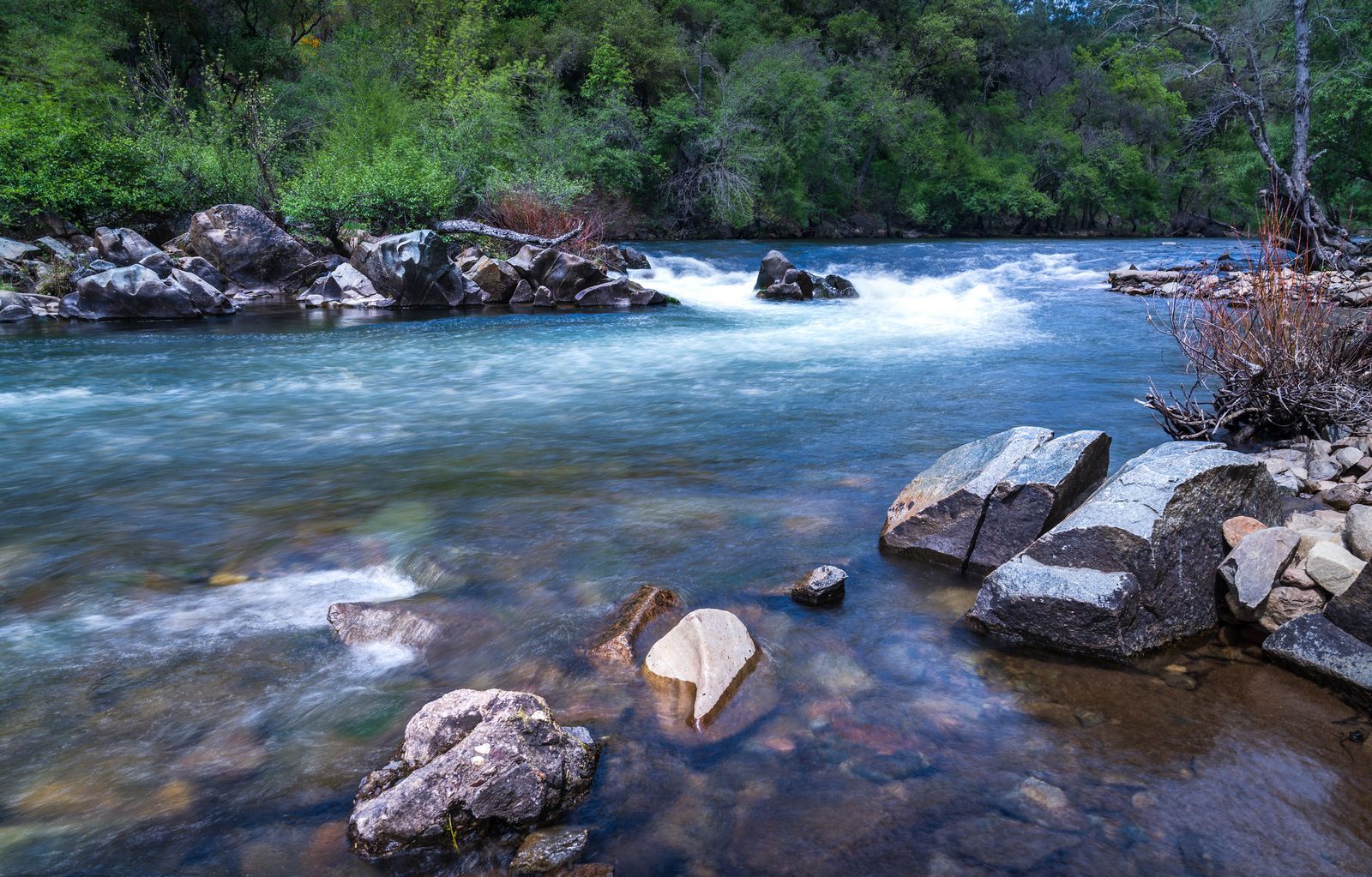
River beach access and spring wildflowers both add to the appeal, and it’s free CDFW public access, though the road to the trailhead off Highway 49 is rough enough to warrant a higher-clearance vehicle, especially after rain.
Tiger Creek area trails: Amador’s most remote river canyon hike
An unmarked network of PG&E access roads leading to Tiger Creek and its confluence with the Mokelumne River, with genuine swimming holes and a real wilderness feel despite sitting on utility company land rather than protected wilderness.
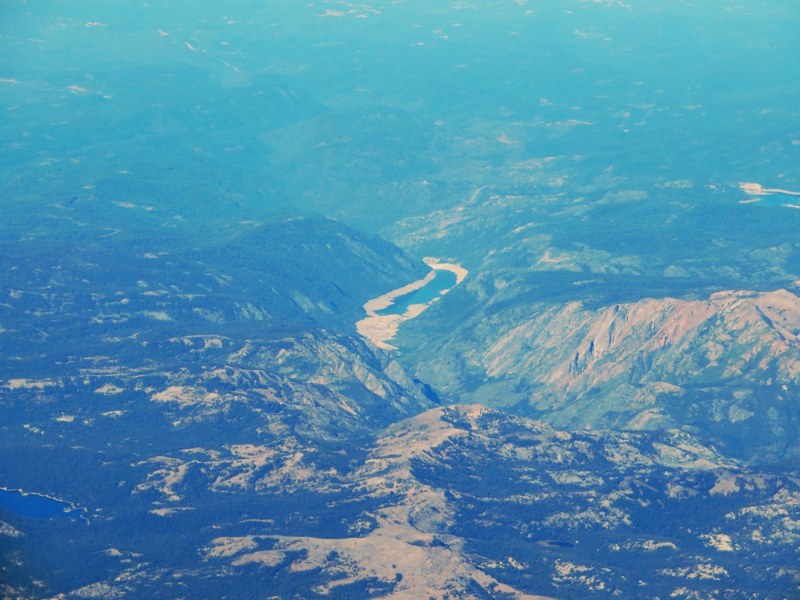
Access runs off Highway 88 east of Jackson via dirt roads with no trail signage; this one is best left to experienced hikers comfortable navigating without marked trails, ideally with an offline map downloaded ahead of time since cell coverage is unreliable in the canyon.
Best Gold Country hiking trails near Amador County towns
Indian Grinding Rock State Historic Park: Amador County’s most cultural hike
Indian Grinding Rock State Historic Park, known by its Miwok name Chaw’se, protects a 135-acre site containing 1,185 bedrock mortar holes (the largest such collection anywhere in North America) plus a reconstructed Miwok village and ceremonial roundhouse still used for cultural gatherings today, including the annual Big Time celebration each September.
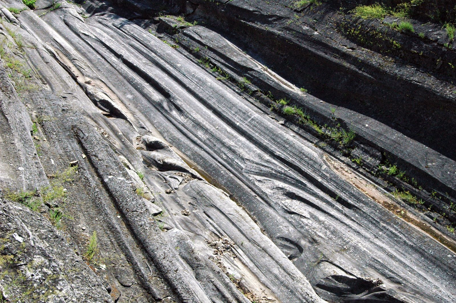
The main grinding rock also carries 363 petroglyphs, some estimated at 2,000 to 3,000 years old, in a combination of rock art and grinding pits that’s essentially unique in California. Two short trails cover the grounds: a 0.5-mile South Nature Trail loop and a roughly 1-mile North Trail loop connecting to the village site.
An $8 day-use fee applies, dogs are not permitted on the trails (only in designated campground areas), and this is a living cultural site, not a ruin; visitors are expected to treat the grinding rock and village structures with real respect rather than climbing on them for photos, and the park’s accessible viewing platform is specifically built so visitors can see the mortars without stepping directly on the rock itself.
Sutter Creek’s historic Main Street offers walkable Gold Rush-era architecture, largely intact since the 1850s, and the Kennedy Mine area above Jackson preserves historic gold mine ruins accessible by trail, including the towering headframe that once hauled ore from one of California’s deepest mines.
Daffodil Hill, a seasonal private property with a spring bloom display, has historically welcomed visitors but access should be confirmed directly before a trip, since private-property hours and openings can change year to year and aren’t guaranteed the way a public park’s would be.
Best hiking trails near Kirkwood and Silver Lake, Amador County
Kirkwood Mountain Resort operates as a winter ski destination most of the year, but its summer trail network (along with the surrounding Caples Lake and Silver Lake terrain) genuinely rivals anything closer to Tahoe, with a fraction of the crowds.
Caples Lake area trails: Amador County’s best High Sierra day hike
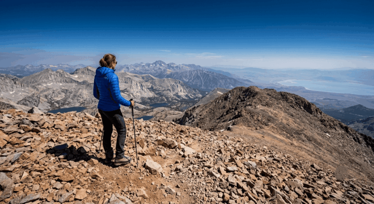
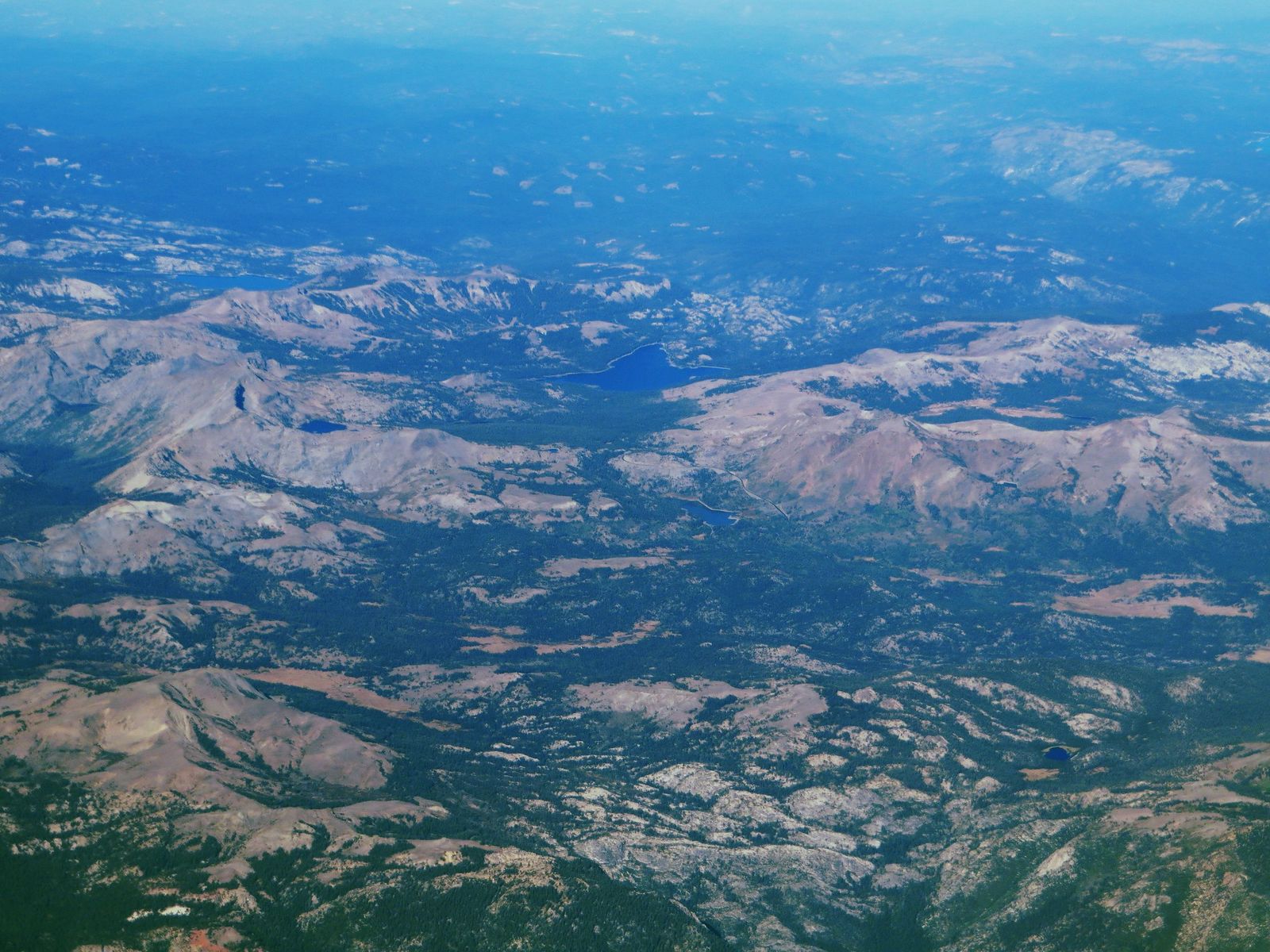
Caples Lake sits at 7,800 ft along Highway 88 near Kirkwood, inside Eldorado National Forest, which sits primarily across the line in El Dorado County, and serves as the access point for two very different hikes. Round Top Peak runs about 9 miles round trip with roughly 2,500 ft of gain to a 10,381-ft summit, making it genuinely the most demanding hike in the county, with real alpine exposure near the top and a rewarding view over the surrounding volcanic terrain.
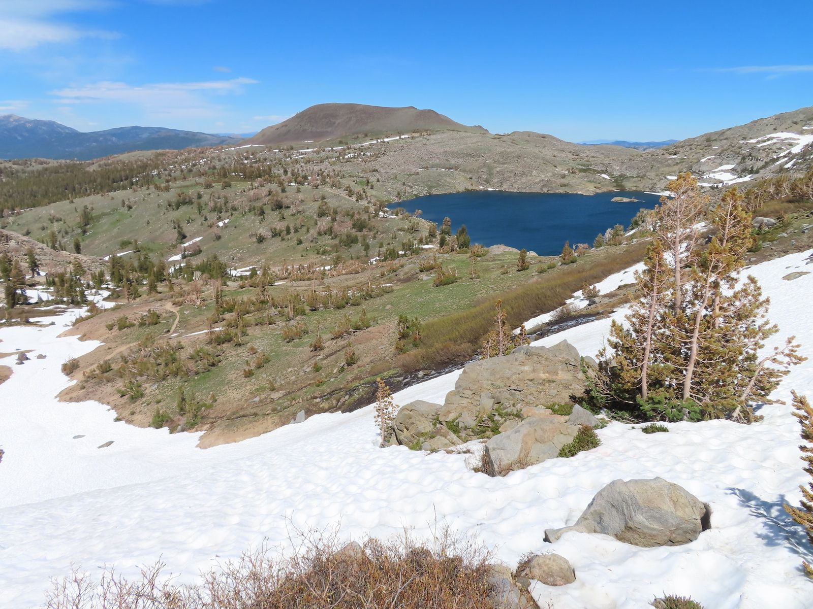
Emigrant Lake, by contrast, is a 4-mile round trip with about 600 ft of gain to an easy, scenic alpine lake, a solid choice for anyone who wants high-Sierra scenery without Round Top’s real elevation gain. No permit is needed for a day hike at either, and both trailheads share the same general parking area off Highway 88.
Amador Vintage Trails: wine tasting meets hiking in Amador County
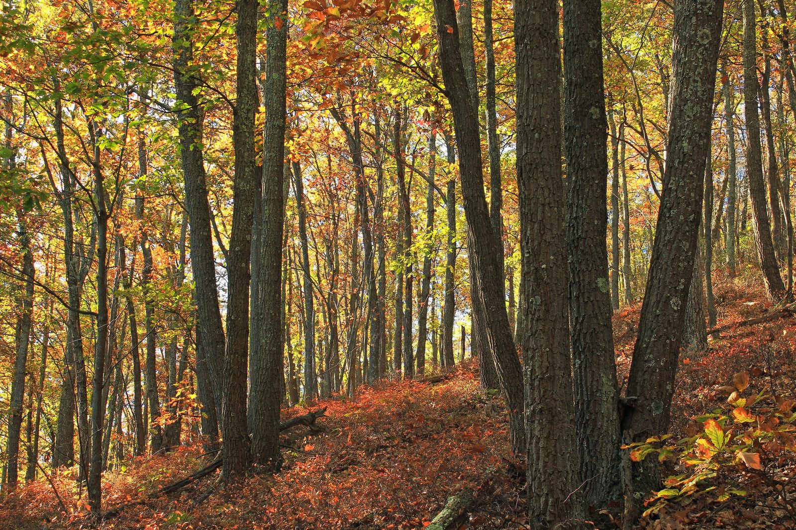
The Shenandoah Valley AVA is home to a handful of wineries (Story Winery, Vino Noceto, and Cooper Vineyards among them) that offer self-guided vineyard walking paths alongside their tasting rooms. These are casual walks through vineyard rows rather than formal hiking trails, but they’re a genuinely pleasant way to add movement to a wine-tasting day in this part of the county, and several of these wineries pair the walk with genuinely scenic Sierra foothill views over the vines.
Amador County rewards visitors willing to look past its small size: the Mokelumne River gorge, a genuinely significant Native American cultural site, and high Sierra terrain near Kirkwood all sit within a county most people only drive through en route to Tahoe.
Respect Chaw’se’s cultural significance the same way you would any other sacred site, and check current road and water conditions before heading into the Mokelumne River canyon, since the unmarked PG&E access roads genuinely aren’t built with casual visitors in mind.
Frequently asked questions about hiking trails in Amador County
What are the best hiking trails in Amador County, California?
The Electra Trail for river canyon history, Indian Grinding Rock State Historic Park for genuine cultural significance, and Round Top Peak near Kirkwood for the county’s most demanding high-Sierra hike. Between the three, you get river gorge, cultural heritage, and alpine terrain in one small county.
Are there hiking trails near the Mokelumne River in Amador County?
Yes, the Electra Trail and the Tiger Creek area both offer canyon access along the Mokelumne River, with swimming holes and historic hydroelectric infrastructure along the way. Neither requires a permit, though both call for a higher-clearance vehicle on the approach roads.
What is Indian Grinding Rock State Historic Park and can I hike there?
It’s a California State Historic Park protecting Chaw’se, the largest collection of bedrock mortars in North America, alongside a reconstructed Miwok village still used for cultural ceremonies. Two short trails (a half-mile loop and a roughly one-mile loop) cover the grounds, with an $8 day-use fee.
Is there summer hiking near Kirkwood Ski Resort in Amador County?
Yes, Kirkwood’s summer trail network sits at 7,800 ft base elevation, with non-motorized hiking trails accessing the surrounding Sierra peaks, plus nearby Caples Lake trails to Round Top Peak and Emigrant Lake.
What Gold Rush historic trails can I hike in Amador County?
The Electra Trail follows a historic 1900s hydroelectric flume, and Sutter Creek’s Main Street and the Kennedy Mine area near Jackson both offer walkable Gold Rush-era history alongside the county’s natural hiking trails.
Can I combine wine tasting and hiking in Amador County?
Casually, yes; a handful of Shenandoah Valley AVA wineries, including Story Winery, Vino Noceto, and Cooper Vineyards, offer self-guided vineyard walking paths. These are relaxed walks rather than formal hiking trails, but they pair naturally with a wine-tasting day in this part of the county.